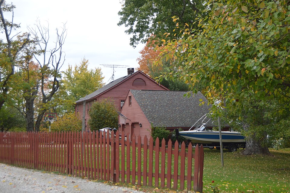
Listed on the National Register of Historic Places in
1980. A historic map-sheet match is not published yet. The record needs a coordinate-quality review before it can be joined to a sheet boundary.
From the record
one of 59 National Register listings in Mahoning County · listed in 1980 · category: Building.
National Register reference number.80003145- the number the National Park Service assigned this property when it was listed, and the key its nomination file is catalogued under at the National Archives.
Specimens collected near this property
12 of 51 shown
Regional context, not property-specific
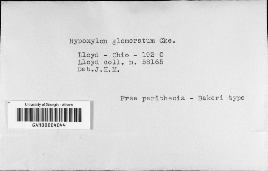
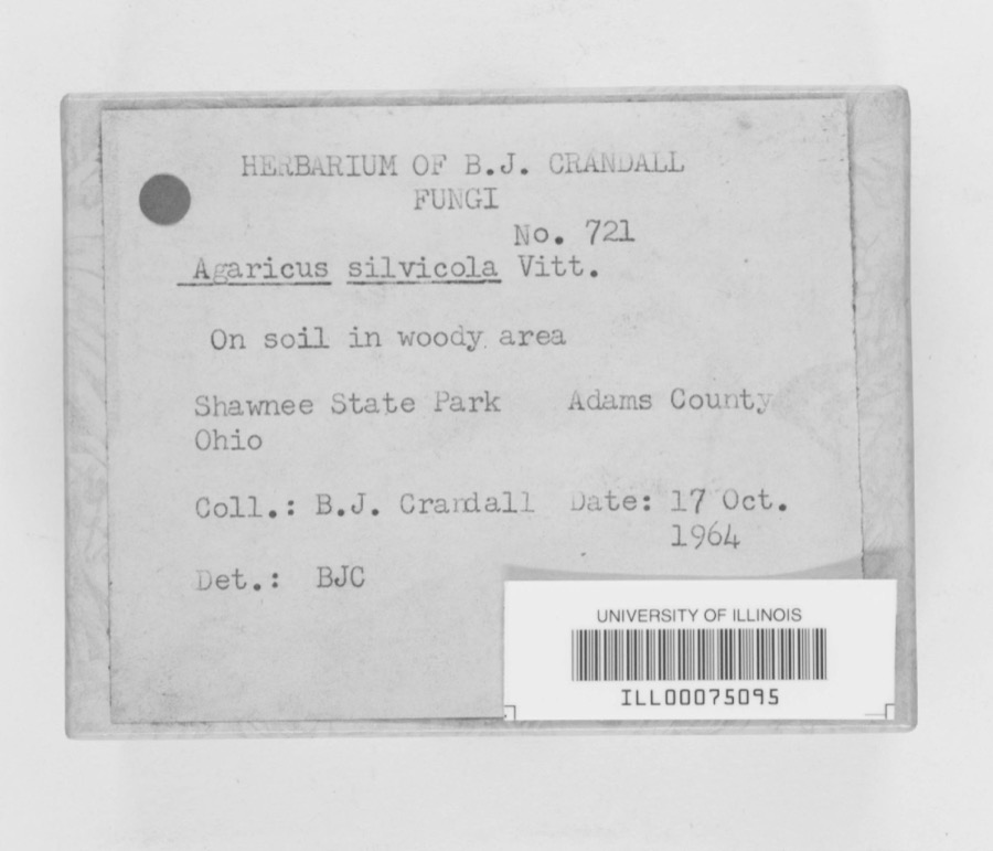
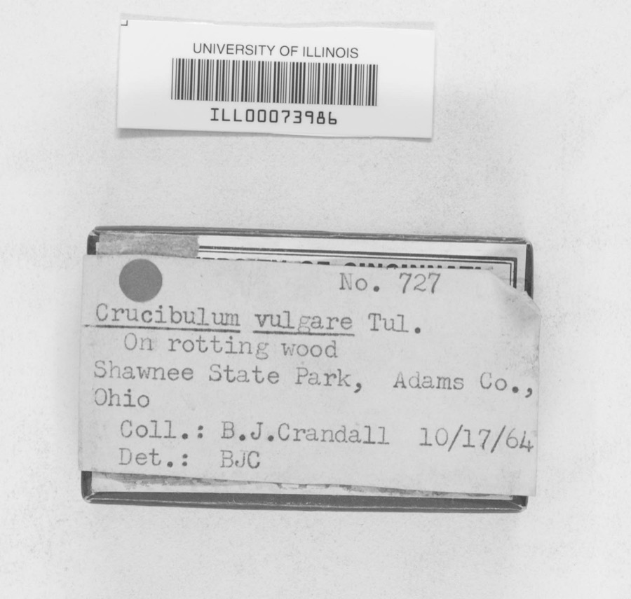
evidence. Museums hold 51 specimens
collected within 10 miles of Vaughn, Daniel, Homestead between 1901 and
1975: 40 Animalia, 8 Fungi, 3 Plantae. 12 distinct Species records are shown.
Collected by B. J. Crandall, B.J.Crandall, C. G. Lloyd and others. Each is a
physical object with a catalogue
number, and each entry opens the museum's record. This is what was
collected and kept, not a survey of what lives here - nothing can be
concluded from a species being absent.
Regional context, not property-specific
evidence. The National Weather Service names
Lake Milton, the town this property stands in, in 20 storm reports between 1995 and 2026: 11 thunderstorm wind, 9 hail.
No death or injury is recorded in these reports. Each account below is quoted exactly as the forecast office
filed it, from the NOAA Storm Events Database, and each date
opens the federal record of that event.
Numerous trees and power lines were reported down from Lake Milton to North Jackson. Also, the trained spotter also observed golf ball size hail in North Jackson.
The public reported via social media that strong thunderstorm winds snapped several large trees and that they were laying on power lines in the Milton Township area.
No historic map-sheet match is published
for this property yet. That does not mean no map exists. This record needs
a coordinate-quality review before it can be joined to a sheet boundary.
Browse the county's mapped places while that work is
pending.
From the nomination file
1,369 words on record
When this property was proposed for the
National Register, someone wrote the case for it: what the building is,
and why it matters. That document is a federal record in the public domain.
It is quoted below word for word, never summarised. The text was read off the scanned case file by machine, so the
occasional stray character is the recogniser's and the 1970s
typewriter's.
Description of the property
filled in at some later date. On the interior, the east entrance leads to a shallow stair hall with porches were added to the north, east, and south sides of the house, bedroom.Most of the original doors and hardware remain.On the with clapboard siding. The house stands on a sloping site, and the north of openings.The house is unusual in havinga center entrance on both construction measuring 40-1/2 feet by 32-1/2 feet. The frame is sheathed is also a narrow back stairway.The large center chimney has been deck was retained on the north end. it within a few hundred feet of the house.
In 19i7 two-story summer Xoriginal site _fair * good the long elevations having five bays and the ends an irregular arrangement fireplaces;one remains in the north parlor and one in a second-floor east facade have double-hung sash with twelve panes over eight.The Wuruins - prehistoric - archeology-historic _ conservation - economics - sculpture Xarchitecture _ education - social/ _ exploration/settlement - - philosophy - politics/government _ transportation - invention - other (specify) Specific dates 1811; 1819; 1871; 1917 Builder/Architect Statement of
Statement of significance
/Architect Statement of Significance (in one paragraph) Architecturally, the Vaughn house is essentially a survival of the late 1600-1699 1500-1599 1700-1799 1400-1499 dentils. communications commerce theater engineering industry humanitarian Period literature music 1900- law agriculture Vaughn was living ina completed frame house on this property.Although style, with the possible exception of the gable fanlights and doorway 8. Significance absolute documentation of its date is not possible, and the earliest record Vaughns were active members of the Methodist Church.
The Vaughn surviving example of the late colonial vernacular building style transplanted medieval vernacular building which persisted throughout the 17th and deeded to the Township trustees in 1867.The house and property remained on the property, which was owned by Simon Perkins, one of the original ornamental detail which would identify it as Georgian or Federal in military Areas of Significance-Check and justify below well into the 20th century.In 1807 Daniel Vaughn and his family settled that refers directly to the house is in the tax record of 1834, the existing settlers of Milton Township in Mahoning County, and it is also an excellent with a lean-to and later with a full two stories.The house has little brother Johnson were both justices of the peace prior to1840.The X1800-1899 proprietors of the Western Reserve and the founder of Akron.By 181l in l8i5.
It remained the most sparsely settled township in Mahoning County family cemetery stands about 1o0 yards west of the house;it was to Ohio in the early 19th century. in the Vaughn family until 187l.
Quoted from the National Register nomination
for reference 80003145, 8 pages, held by the National Archives in Record
Group 79. See the
catalogue record.
Listing record. National Park Service National Register of Historic Places, listed-properties dataset, current to 2026-05-22.
Map join. Address geocoded through the United States Census geocoder, then tested against the published boundary of every sheet in the USGS Historical Topographic Map Collection.
How this page is made. Listing fields come from federal records; map-sheet coverage is a labelled coordinate-to-boundary calculation, not a source-field claim.
Specimens. Global Biodiversity Information Facility (GBIF), https://www.gbif.org/. Only records licensed CC0 or CC BY are used. Records licensed CC BY-NC are excluded because this site carries advertising. Images are checked individually and any whose licence is non-commercial, no-derivatives or unreadable is refused.
Storms. NOAA National Centers for Environmental Information, Storm Events Database https://www.ncei.noaa.gov/stormevents/ A work of the United States government, no copyright under 17 U.S.C. 105. Narratives are quoted verbatim from the National Weather Service report and are not edited or summarised.
 Block
Block