91 topographic sheets and 31 fire insurance
atlases across 5 places.
Research this county
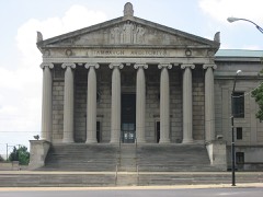
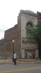
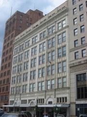
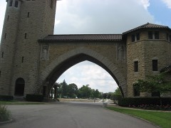
This curated hub for Mahoning County, Ohio brings together the page's documented record links, visible map or image evidence where published, and routes to related local records.
Use the page's provenance and linked records to distinguish the source material from the site's navigation and summaries.
How should I cite it?
Open the original record, preserve its repository and identifier, then use the citation tool for this page as a path back to the source.
Where should I go next?
Follow the county or state hub for related places and records, then use the guide for a source-aware research sequence.
From the record
59 National Register listings · 72 businesses named in the fire insurance atlases from 1884 to 1928 · the 1907 county history tells 2 stories and names 15 people · people the book names include The .U.Ahkmv (Youngstown City, 1907) (machine-read).
Ohio within the United StatesMahoning County within Ohio
Explore by year
What the record shows
5 places in this county were surveyed for fire insurance: Youngstown, Sebring, Beloit, Canfield, Lowellville, between 1884 and 1950.
31 fire insurance atlas(es) survive for the county. Topographic coverage is national; fire insurance survey reached only incorporated places with something worth insuring.
1,645 topographic sheet readings cover the county's settlements.
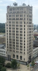
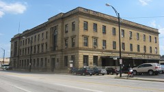
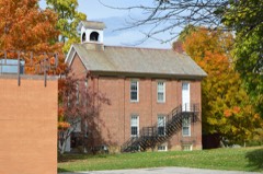
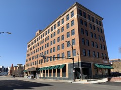
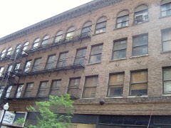
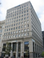
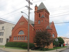
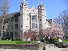
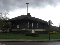
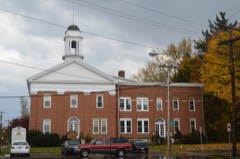
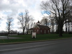
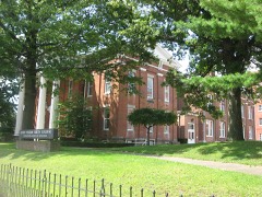
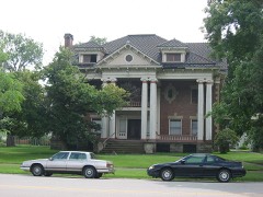
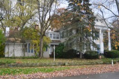
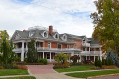
59 properties here are on the National Register of Historic Places, including 1 historic district, 10 houses and farms.
18 of the 59 listings were added during the 1970s.
The Geographic Names Information System records 111 populated places in this county; 0 are covered by at least one topographic sheet.
3 public-domain county histories, 1879 to 1907, supply 715,122 words of narrative reproduced here in full.
What happened here
2 accounts
A captivity, a drowning, a famine, a man
scalped clearing his lot in 1789. These are passages from 20th Century History of Youngstown and Mahoning County, Ohio, and Representative Citizens, written
while people who remembered the events were still alive, and each one
opens the section it comes from.
1907, Youngstown City
First English Opposition
Samuel Argat. a young English sea captain from Virginia, who early in 161 3 was cruising off the coast of Maine, learning from the Indians of the presence of the French in that vicinity, attacked and destroyed the settlement of St. Sauveur. Soon after, on a second expediliou made under the authority of Sir Thomas Dale, governor of Virginia, he destroyed also that of Port Royal.
.'Laid Out by John Young - First Events - D isem-ery of Coal - Judge Kir/lands Reminiscences - Celebrating the Fourth - First Murder Trial - Fioneer Schools - Feminine Costumes - Wet Seasons of 1810-12 - Early Amusements - Fioneer Houses - Factions - Incorporation - City of the Second Class - Extensions of Limits - Mayors of Youngstcnw - Other Officials - Citizens in 1841 - Cemeteries - Farks - W ater Works and Filter riant - Fire Department - I'oliee Department - Mahoning cr Shciuingo Railway & Light Co. - Board >f Trade and Chamber of Commerce - Mahoning Gas Fuel Co. - Telephone Companies - Humane Society - Opera House - Fork Theater - A Fno Statistics - Xolablc Fersonages.
Taken for the Office of War Information and
the Farm Security Administration, who photographed the country between
1935 and 1944. Works of United States government photographers, with no
known restriction on use. Each opens its catalogue record.
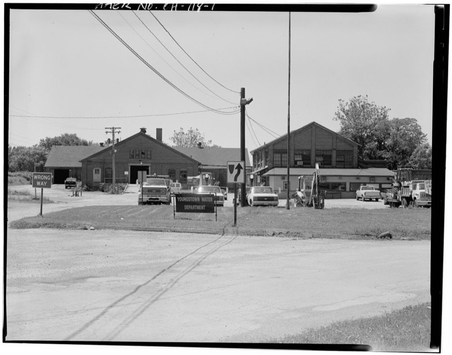
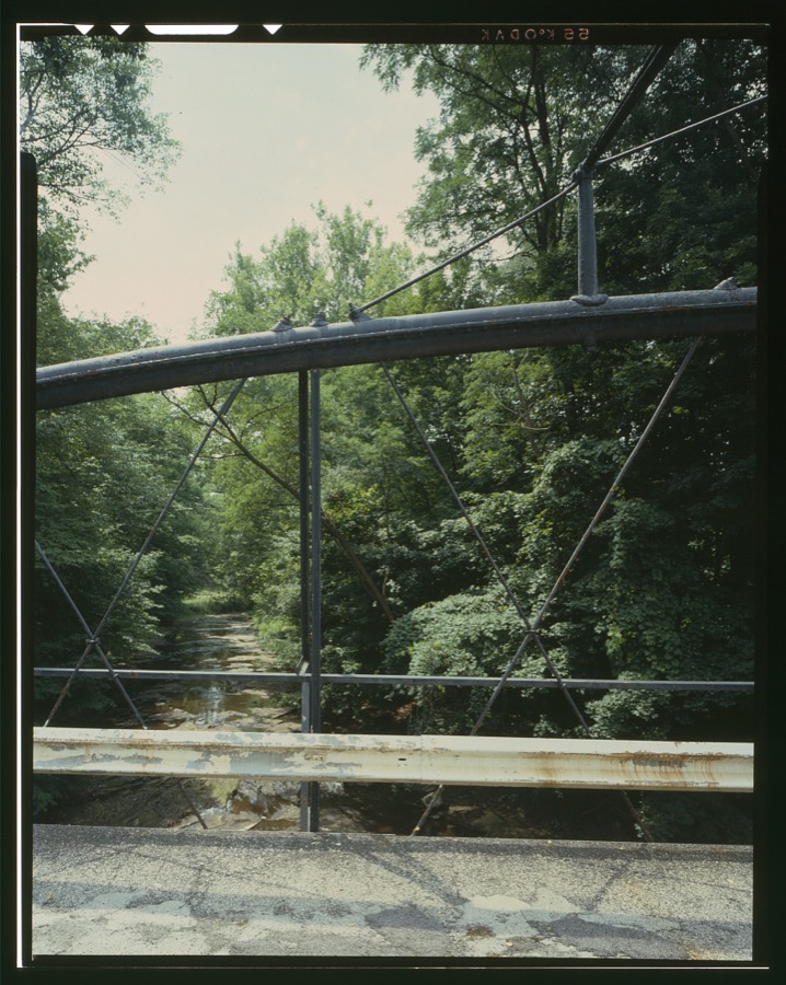
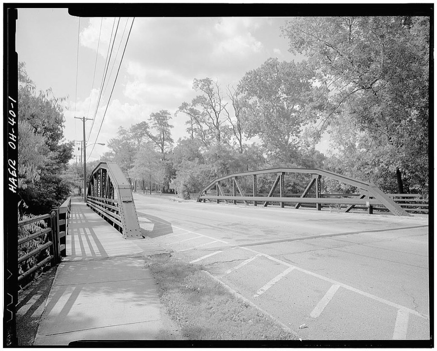
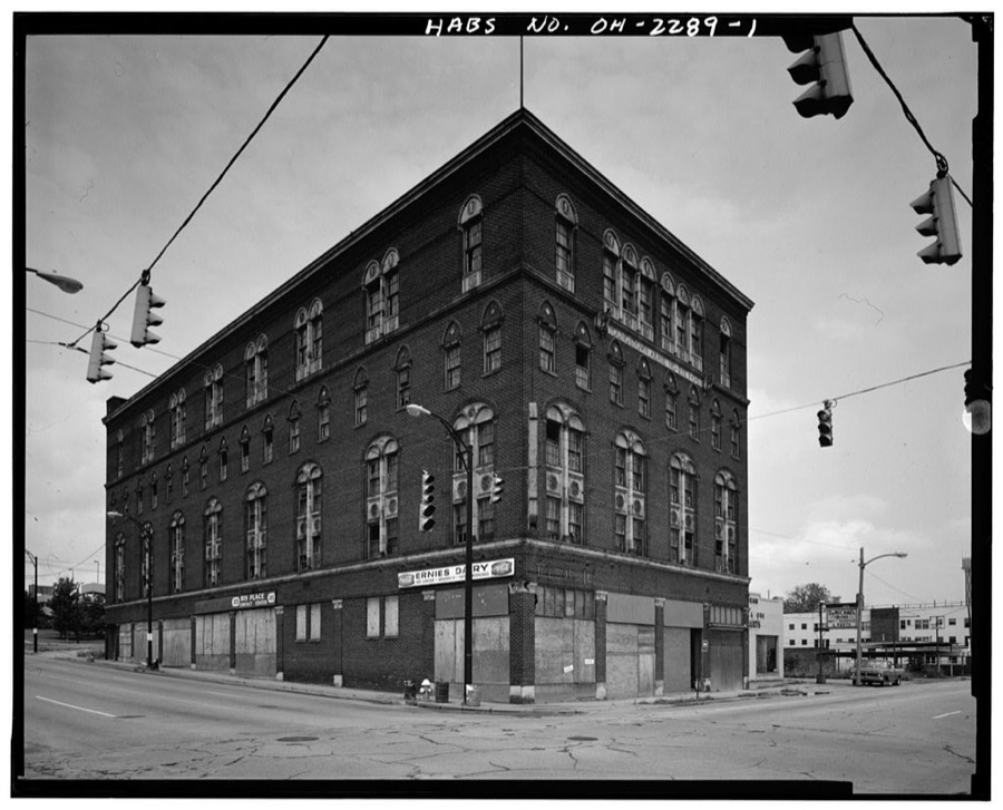
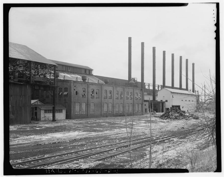
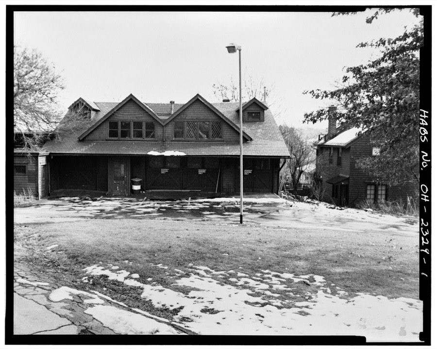
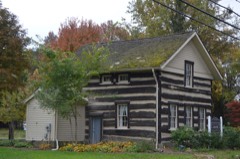
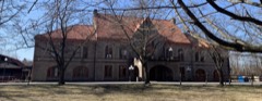
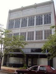
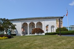
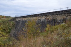
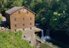
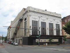
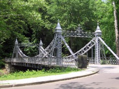
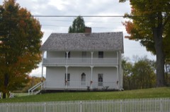
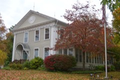
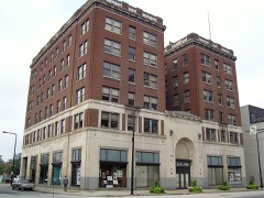
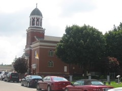
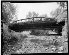
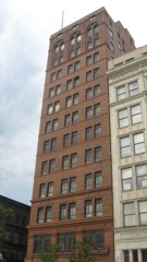
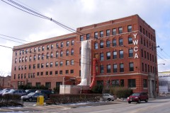
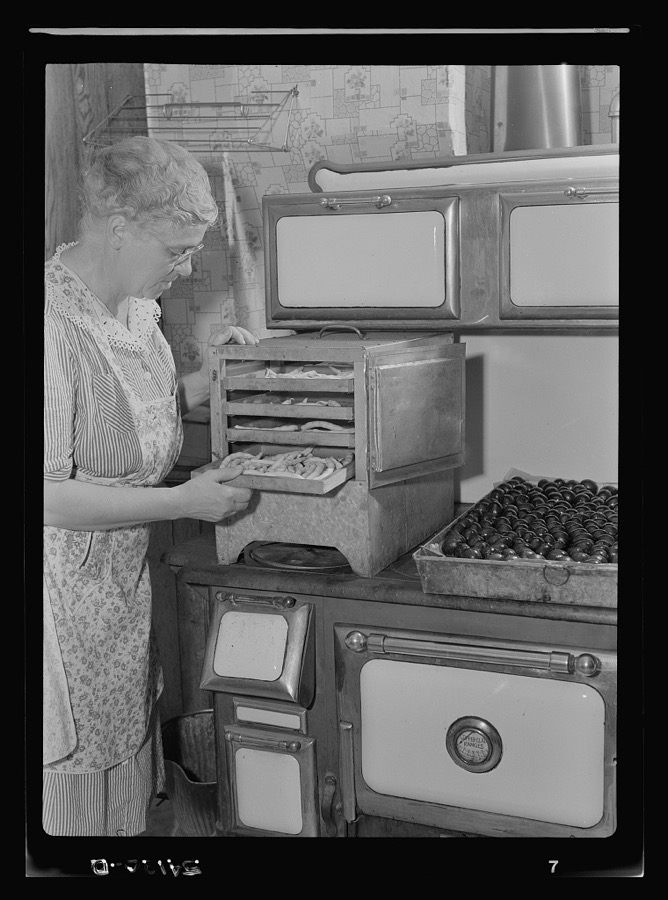
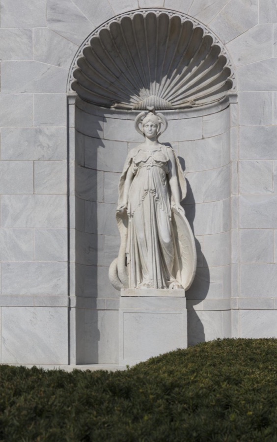
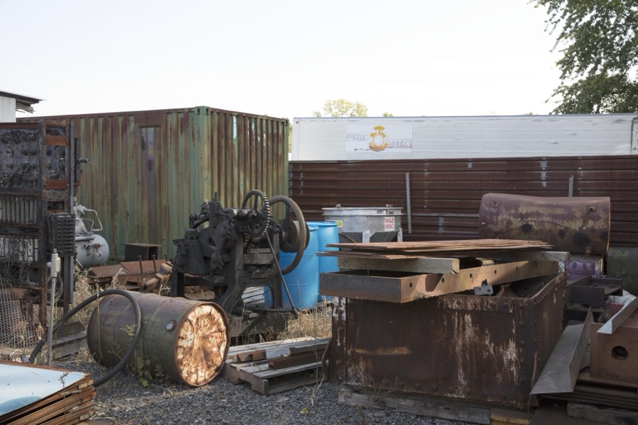
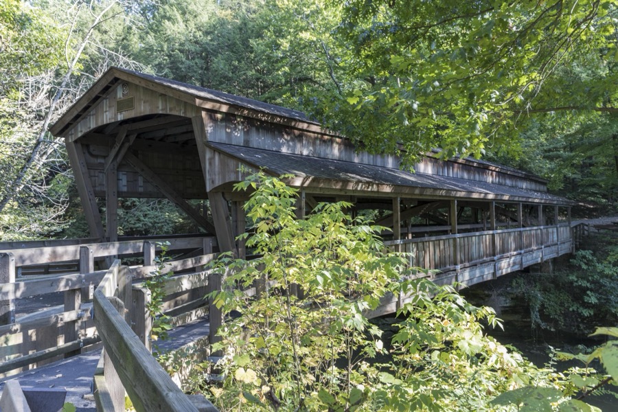
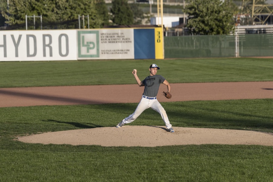
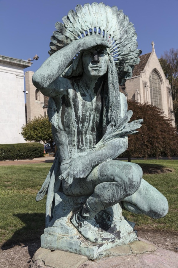
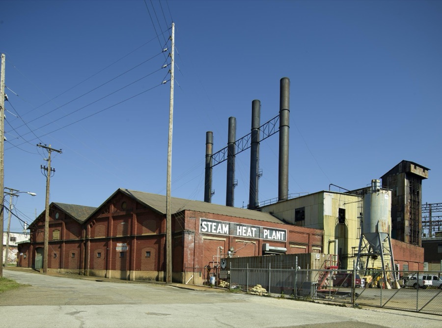
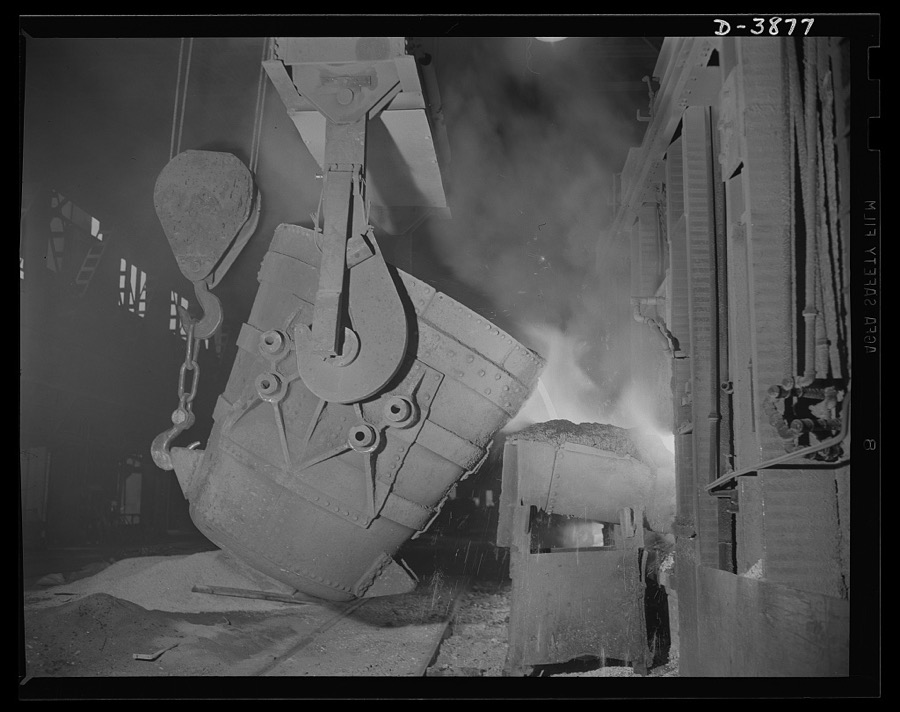
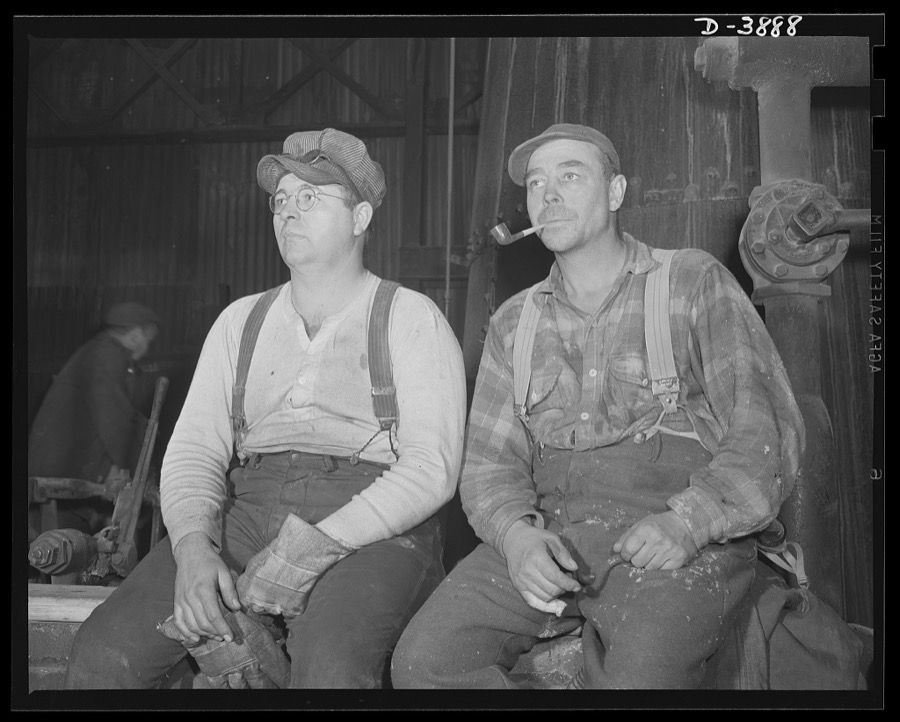
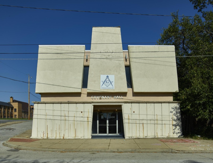
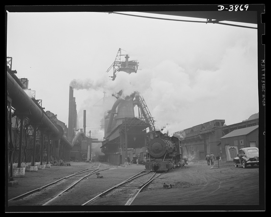
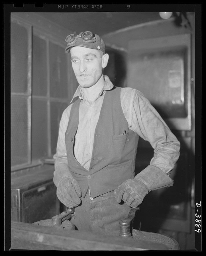
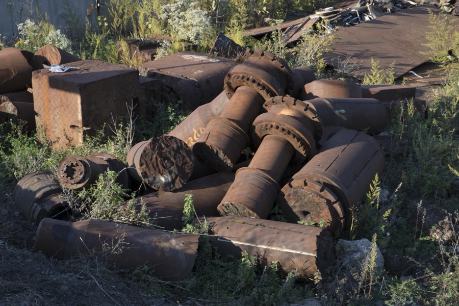
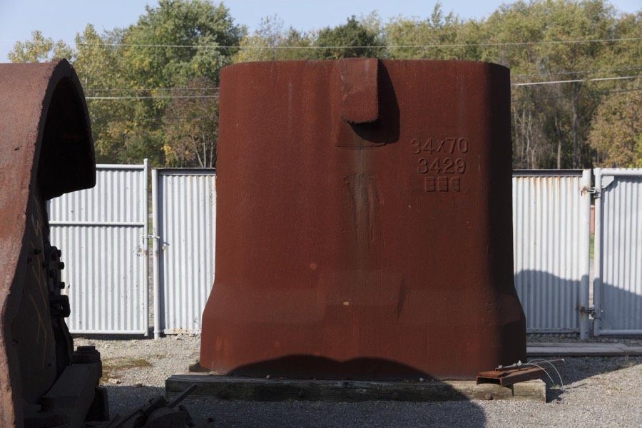
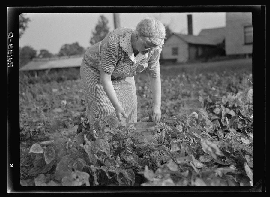
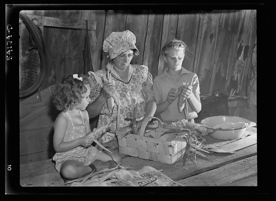
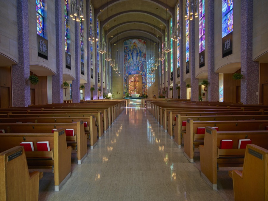
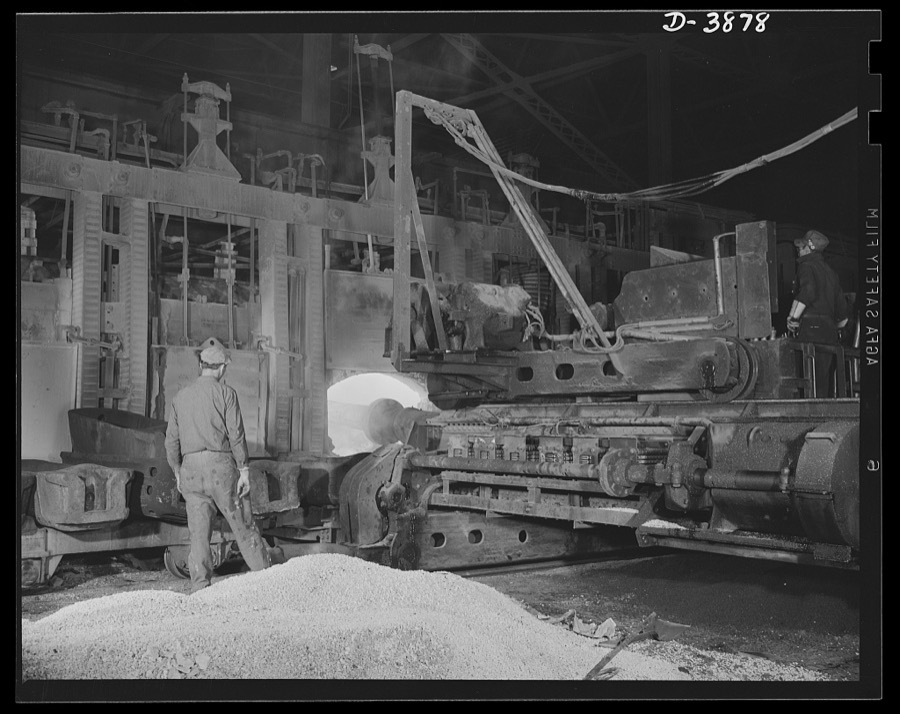
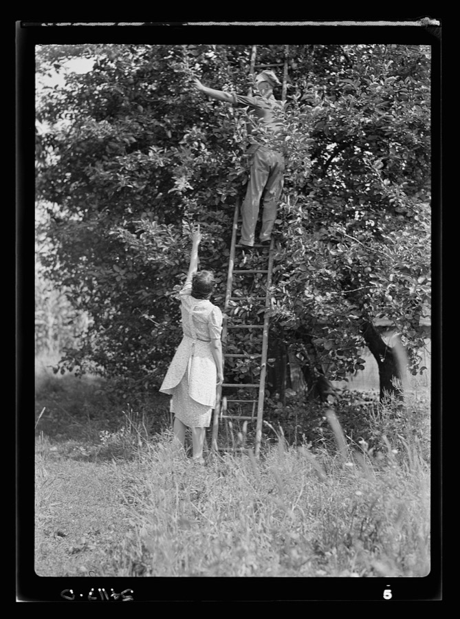
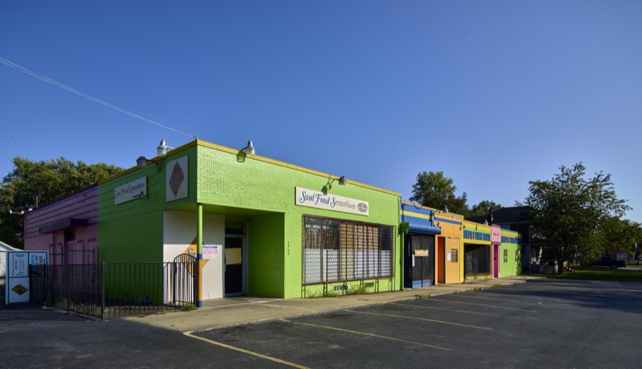
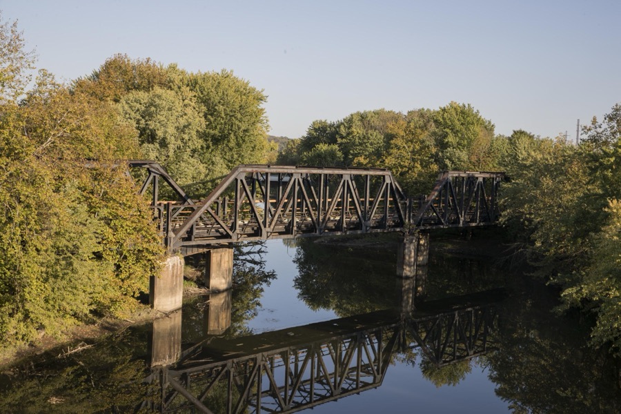
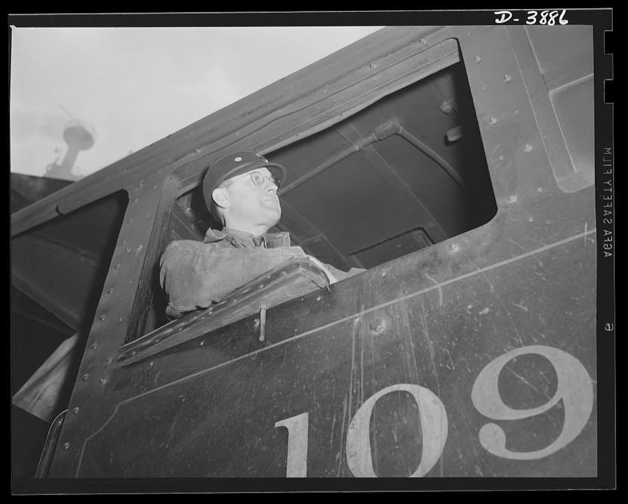
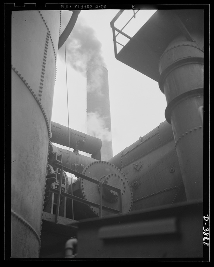
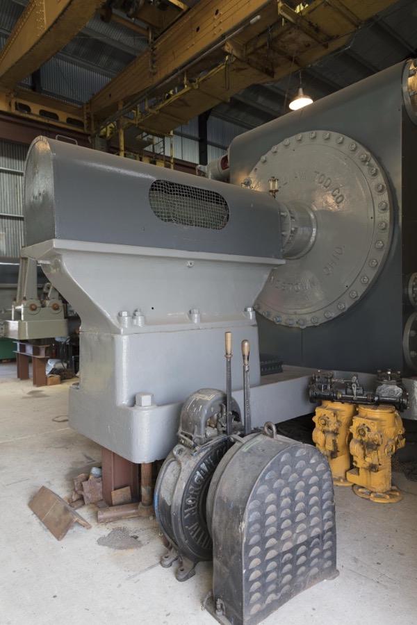
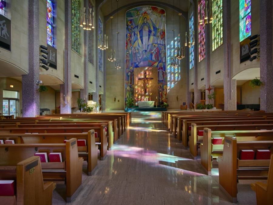
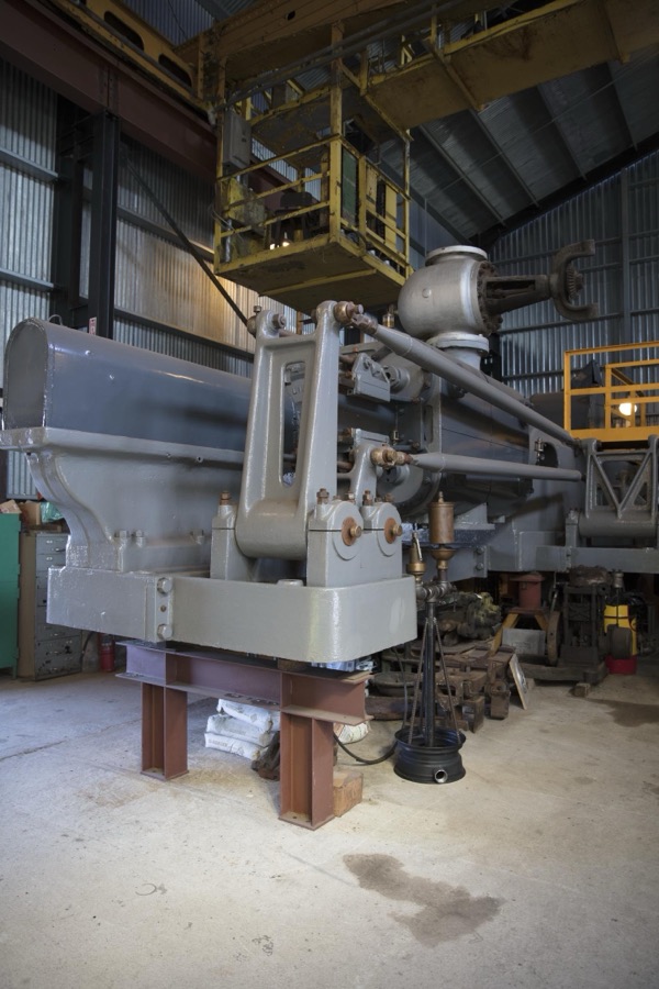
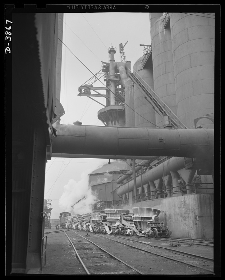
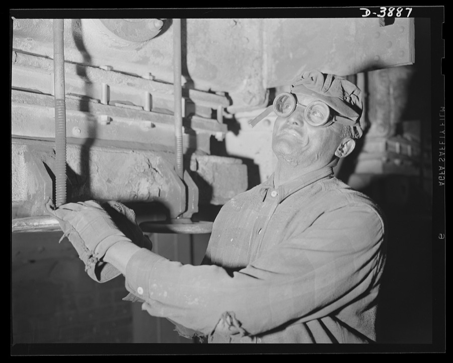
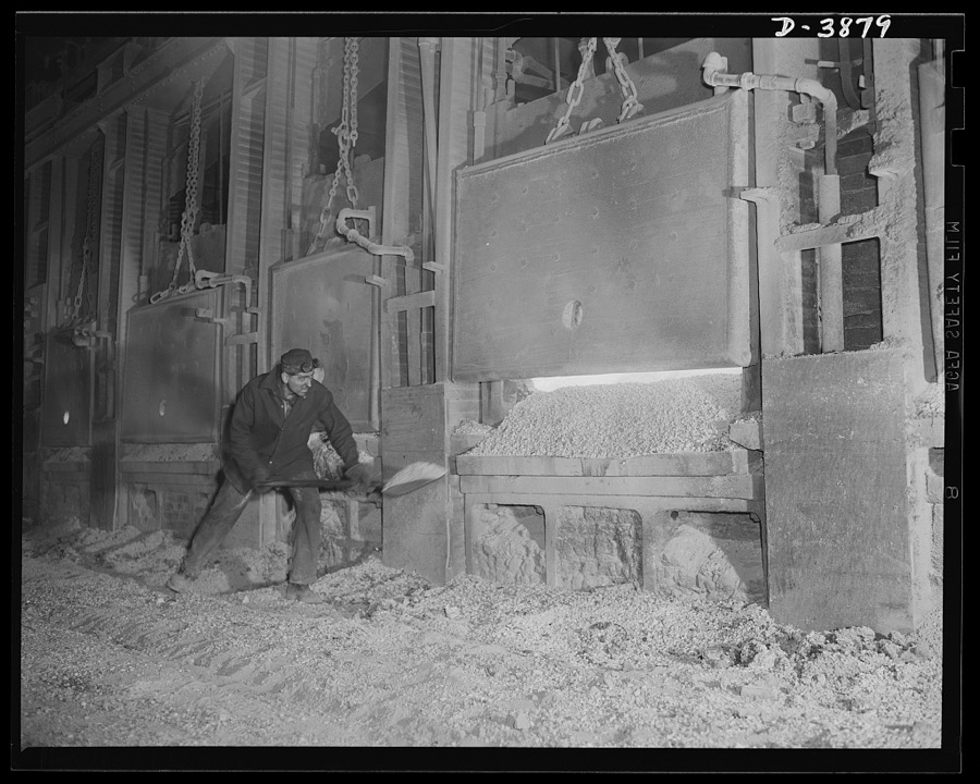
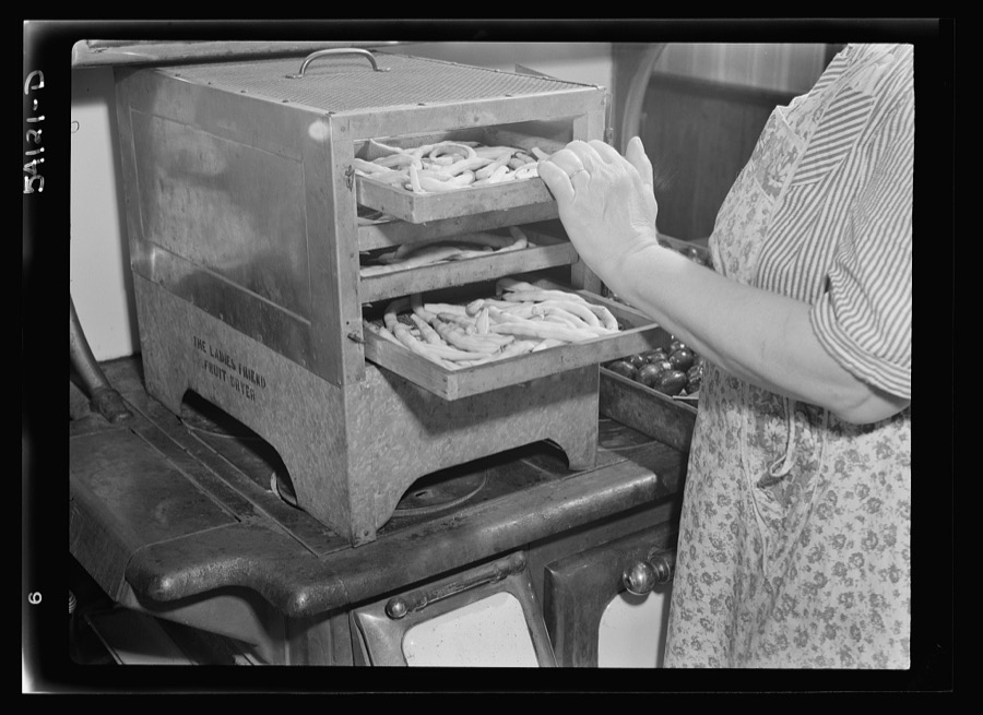
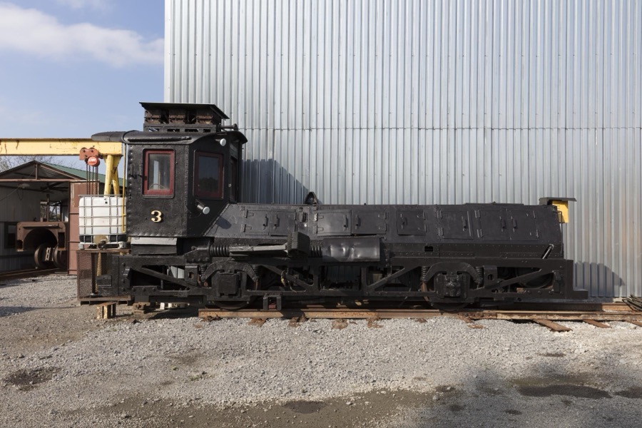
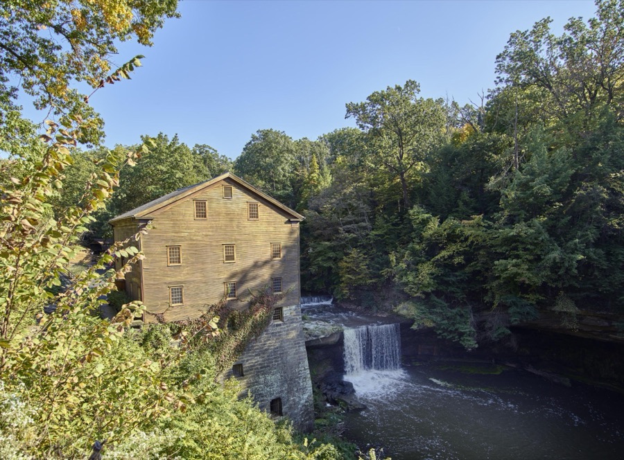
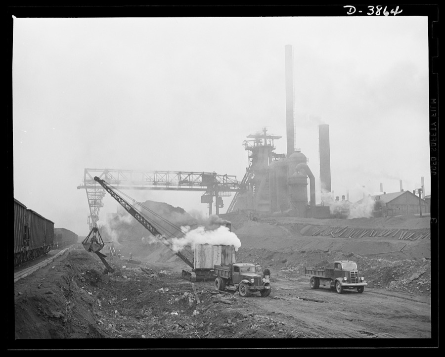
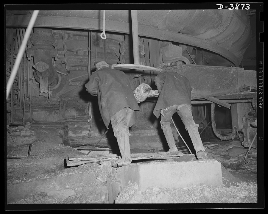
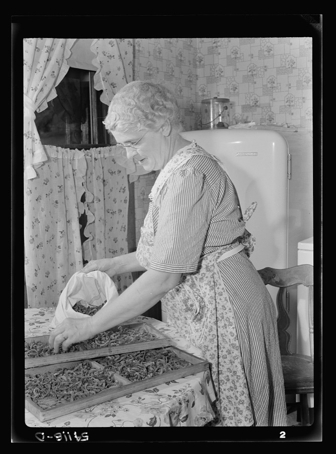
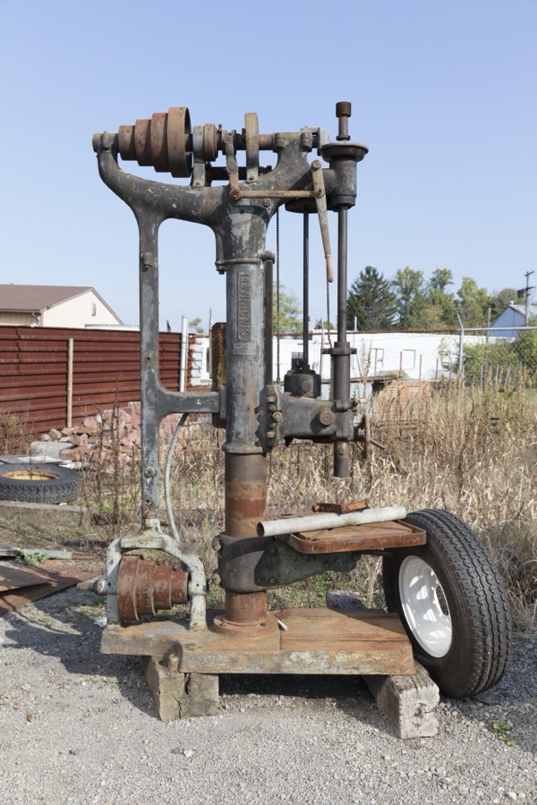
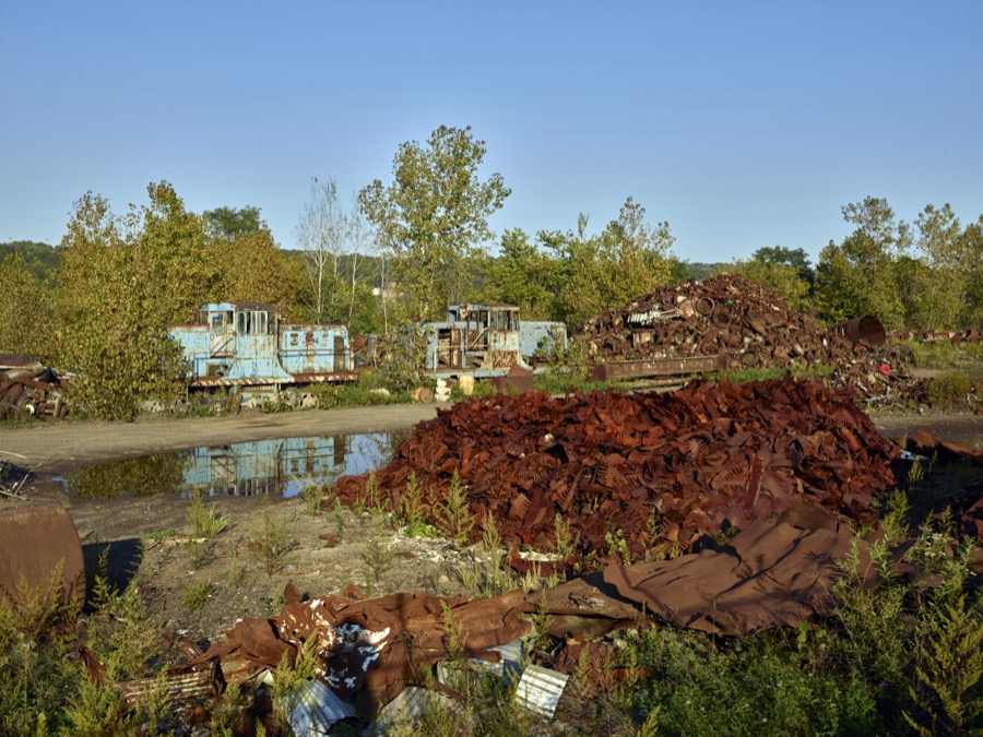
Mrs. Frank Rogers looking at a tray of blanched beans on the dryer on top of a range. The beans will dehydrate in the dryer Rosener, Ann, photographer, 1942. Library of CongressStatue inset into the facade of the Butler Institute of American Art in Youngstown, Ohio, was the first museum dedicated exclusively to American art Highsmith, Carol M, 2016. Library of CongressThe "back lot" at the Youngstown Steel Heritage Museum; part of President Rick Rowlands' and other Youngstown Steel Heritage Foundation members' collection of heavy equipment salvaged during the drastic downturn in Youngstown, Ohio's steel industry and economy Highsmith, Carol M, 2016. Library of CongressA covered bridge next to Lanterman's Mill in the Mill Creek Metropark within Youngstown, Ohio's city limits Highsmith, Carol M, 2016. Library of CongressBaseball game at Bob Cene Park in Struthers, Ohio Highsmith, Carol M, 2016. Library of CongressStatue of an American Indian outside the Butler Institute of American Art in Youngstown, Ohio, was the first museum dedicated exclusively to American art Highsmith, Carol M, 2016. Library of CongressThe old Youngstown Thermal Steam Heat plant in Youngstown, Ohio, which, as of 2016, had produced steam heat for the city's central business district for more than 120 years Highsmith, Carol M, 2016. Library of CongressSteel production. Molten steel for war industries. A ladle of molten iron is poured into an opne hearth furnace for coversion into steel. Note safety latch on the crane hook. Republic, Youngstown Palmer, Alfred T., photographer, 1941. Library of CongressSteel production. The workers behind the steel industry's war production drive. Open hearth furnace men deserve the rest given them while the furnace is being charged. Republic, Youngstown Palmer, Alfred T., photographer, 1941. Library of CongressCovenant Hall, a Masonic lodge building in Youngstown, Ohio Highsmith, Carol M, 2016. Library of CongressMiscellaneous steam-engine components on the "back lot" at the Youngstown Steel Heritage Museum; part of President Rick Rowlands' and other Youngstown Steel Heritage Foundation members' collection of heavy equipment salvaged during the drastic downturn in Youngstown, Ohio's steel industry and economy Highsmith, Carol M, 2016. Library of CongressSteel production. Iron production for war industry. There's plenty of activity in the row of boiler house stacks, in the roaring blast furnace and the stock trestle that serves them. Republic, Youngstown Palmer, Alfred T., photographer, 1941. Library of CongressSteel production. A steel mill worker. The operator at the controls of a pushing machine is responsible for cleaning coke from the ovens of an Eastern by-product plant. Republic, Youngstown Palmer, Alfred T., photographer, 1941. Library of CongressRusted steel-mill remnants in Mahoning County, Ohio, along a stretch of abandoned mills that once bustled with activity beside the Mahoning River between Youngstown and Struthers Highsmith, Carol M, 2016. Library of CongressAn ingot mold at the Youngstown Steel Heritage Museum; part of President Rick Rowlands' and other Youngstown Steel Heritage Foundation members' collection of heavy equipment salvaged during the drastic downturn in Youngstown, Ohio's steel industry and economy Highsmith, Carol M, 2016. Library of CongressMrs. Frank Rogers picking pencil pod beans which she will dry and store for later use Rosener, Ann, photographer, 1942. Library of CongressMrs. Harry Mercer, a young neighbor, and grandchild, husking and removing silk from the corn. The corn will be dried and stored for later use Rosener, Ann, photographer, 1942. Library of CongressSanctuary of St. Columba Catholic Cathedral in Youngstown, Ohio Highsmith, Carol M, 2016. Library of CongressSteel production. Scene in steel industry. A charging machine dumps material for making steel into an open hearth furnace at a big Eastern plant. Republic, Youngstown Palmer, Alfred T., photographer, 1941. Library of CongressMrs. Albert Yaeger and son Walter picking apples to be dried Rosener, Ann, photographer, 1942. Library of CongressA colorful array of small businesses, including a soul-food restaurant in Youngstown, Ohio, that channels the carefree Caribbean Highsmith, Carol M, 2016. Library of CongressOld railroad bridge over the Mahoning River in Mahoning County, Ohio, amidst a stretch of abandoned mills that once bustled with activity before the decline of northern Ohio's steel industry Highsmith, Carol M, 2016. Library of CongressSteel production. Scene in steel industry. The engineer of locomotive guides truckloads of materials at an Eastern steel plant. Republic, Youngstown Palmer, Alfred T., photographer, 1941. Library of CongressSteel production. Smoke and steel. A black furnace stove and a belching boiler house stack help swell the volume for victory. Republic, Youngstown Palmer, Alfred T., photographer, 1941. Library of CongressA low pressure cylinder of the William Tod Co. cross compound steam engine; part of President Rick Rowlands' and other Youngstown Steel Heritage Foundation members' collection of heavy equipment salvaged during the drastic downturn in Youngstown, Ohio's, steel industry and economy Highsmith, Carol M, 2016. Library of CongressSanctuary of St. Columba Catholic Cathedral in Youngstown, Ohio Highsmith, Carol M, 2016. Library of CongressA component of a 260-ton William Tod Co. cross-compound rolling mill engine at the Youngstown Steel Heritage Museum; part of President Rick Rowlands' and other Youngstown Steel Heritage Foundation members' collection of heavy equipment salvaged during the drastic downturn in Youngstown, Ohio's steel industry and economy Highsmith, Carol M, 2016. Library of CongressSteel production. Iron in production. There's plenty of activity at the blast furnace and stoves and on the cinder ladle train. Republic, Youngstown Palmer, Alfred T., photographer, 1941. Library of CongressSteel Production. Worker at steel plant. A flue blower in a blast furnace boiler house performs an inportant duty. Republic, Youngstown Palmer, Alfred T., photographer, 1941. Library of Congress[Mrs. Albert Yaeger] storing home-dried [apples or corn] in sugar sacks Rosener, Ann, photographer, 1942. Library of CongressSteel production. A step in the making of steel. A workman at an Eastern steel plant banks the doors of an open hearth furnace after the charge of steel Palmer, Alfred T., photographer, 1941. Library of Congress"The Ladies Friend" dryer, full of blanched pencil pod beans, on top of a coal and wood range Rosener, Ann, photographer, 1942. Library of CongressAn electrically powered shunt locomotive; part of President Rick Rowlands' and other Youngstown Steel Heritage Foundation members' collection of heavy equipment salvaged during the drastic downturn in Ohio's steel industry and economy Highsmith, Carol M, 2016. Library of CongressLanterman's Mill in the Mill Creek Metropark within Youngstown, Ohio's city limits Highsmith, Carol M, 2016. Library of CongressSteel production. More iron for the sinews of war. Excavation for another new blast furnace begins at an important Eastern production plant. Republic, Youngstown Palmer, Alfred T., photographer, 1941. Library of CongressSteel Production. Workers in iron industry. Furnace men drill a tapping hole out of a blast furnace to swell the record-breaking volume of metal in a large Eastern steel plant. Republic, Youngstown Palmer, Alfred T., photographer, 1941. Library of CongressMrs. Frank Rogers storing dried beans in muslin bags Rosener, Ann, photographer, 1942. Library of CongressA Cincinnati 24-inch upright drill at the Youngstown Steel Heritage Museum; part of President Rick Rowlands' and other Youngstown Steel Heritage Foundation members' collection of heavy equipment salvaged during the drastic downturn in Youngstown, Ohio's steel industry and economy Highsmith, Carol M, 2016. Library of CongressRusted steel-mill remnants and trains in Mahoning County, Ohio, along a stretch of abandoned mills that once bustled with activity beside the Mahoning River between Youngstown and Struthers Highsmith, Carol M, 2016. Library of Congress[Mrs. Wright Hendricks] putting dried corn in paper bags, storing it for later use Rosener, Ann, photographer, 1942. Library of CongressYoungstown City Water Works, 160 North West Avenue, Youngstown, Mahoning County, OH Unattributed, . Library of CongressWhite Bowstring Arch Truss Bridge, Spanning Yellow Creek at Cemetery Drive (Riverside Drive), Poland, Mahoning County, OH Unattributed, . Library of CongressMain Street Parker Pony Truss Bridge, Main Street (Route 170) spanning Yellow Creek, Poland, Mahoning County, OH Unattributed, . Library of CongressEagle's Hall, 270-278 West Rayen Avenue, Youngstown, Mahoning County, OH Unattributed, . Library of CongressRepublic Iron & Steel Company, Youngstown Works, Blooming Mill & Blooming Mill Engines, North of Poland Avenue, Youngstown, Mahoning County, OH Unattributed, . Library of CongressPorter Pollock Estate, Caretaker's House, 603 Wick Avenue, Youngstown, Mahoning County, OH Unattributed, . Library of Congress
Places on the National Register
59
Every property in this county listed on the
National Register of Historic Places, with the year it was listed and the
federal nomination document.
Mahoning County holds 0 covered bridges on
the National Register, more than any other property type here. Each is a listed
structure with a federal nomination on file.
Digitised newspapers
3 issues
Sampled issues, machine-read from the
Library of Congress scan and published page by page, so every headline
and column is searchable text.
The Mahoning Dispatch
Canfield, Mahoning County, Ohio, 1877 to 1968. Machine-read from the Library of Congress scan.
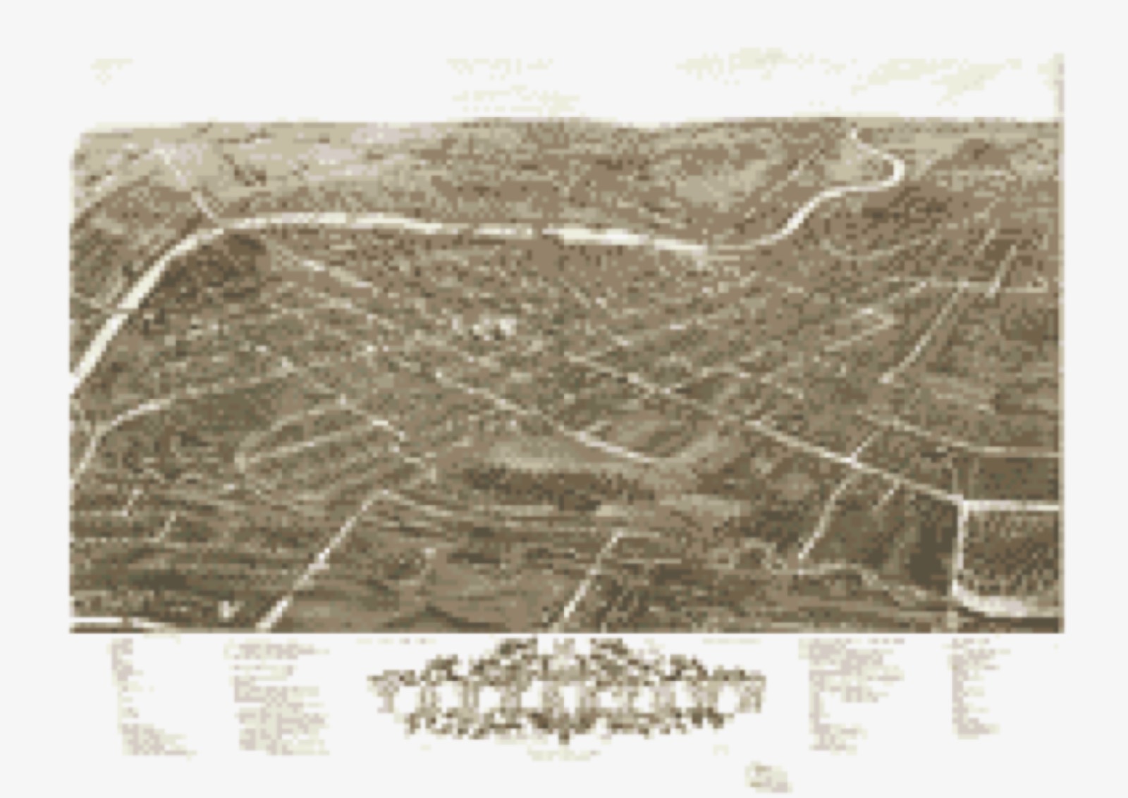
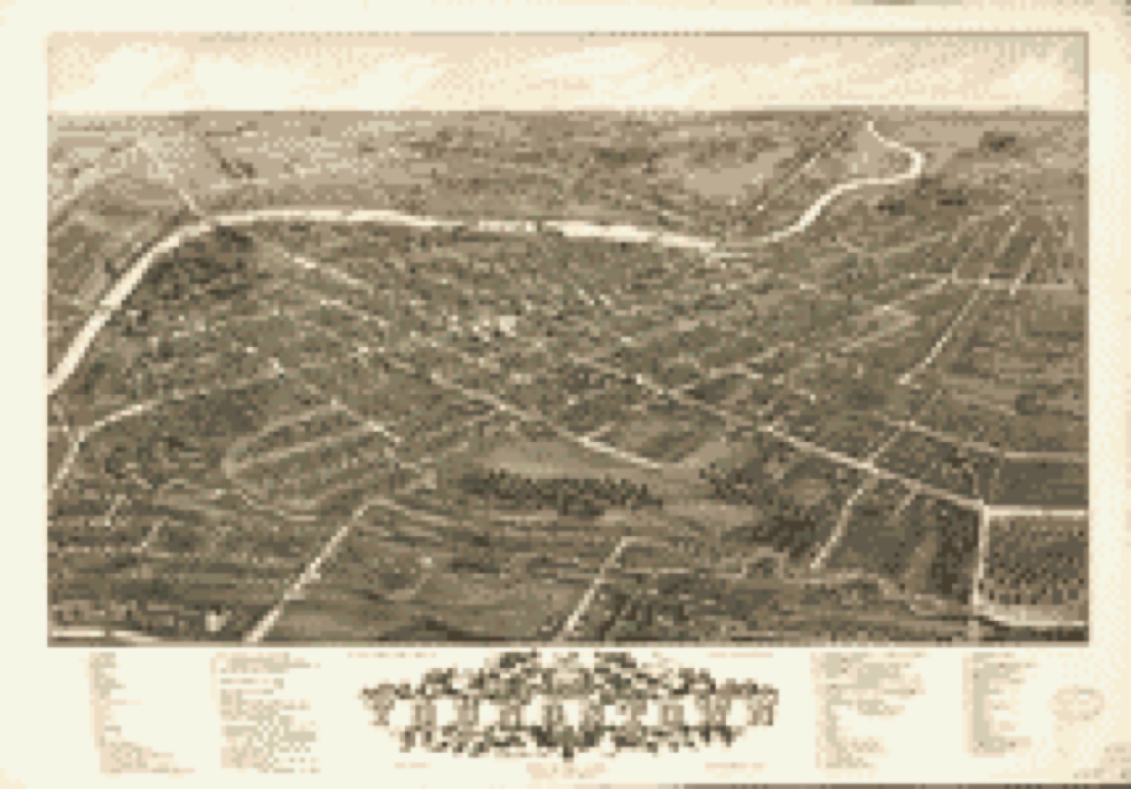
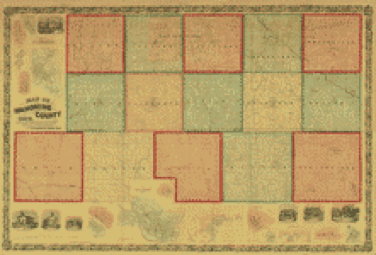
Drawn when these were printed as
single large sheets: the town seen from the air, and the county
divided into its farms with every owner named. Each opens the
original at the Library of Congress.
Bird's-eye view (1882) - Panoramic view of the city of Youngstown, county seat of Mahoning Co., Ohio 1882. Library of Congress.Bird's-eye view (1882) - Panoramic view of the city of Youngstown, county seat of Mahoning Co., Ohio. Library of Congress.Land ownership map (1860) - Map of Mahoning County, Ohio : showing the original lots and farm. Library of Congress.
Photographs from libraries nationwide
8 of 46 shown
Selected from the Digital Public Library
of America's 46 image records catalogued for this county. Every
one shown here carries a public-domain status or a licence that permits
reuse on a site that carries advertising; non-commercial, share-alike
and restricted images are excluded. The selection is spread across the
county's towns (at most eight per town), so no single institution's
bulk upload crowds out the rest. Each opens the holding library's
record, and
the complete set at the
Digital Public Library of America is one click away.
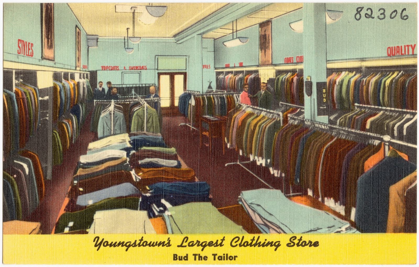
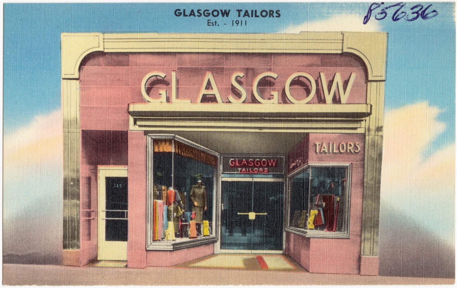
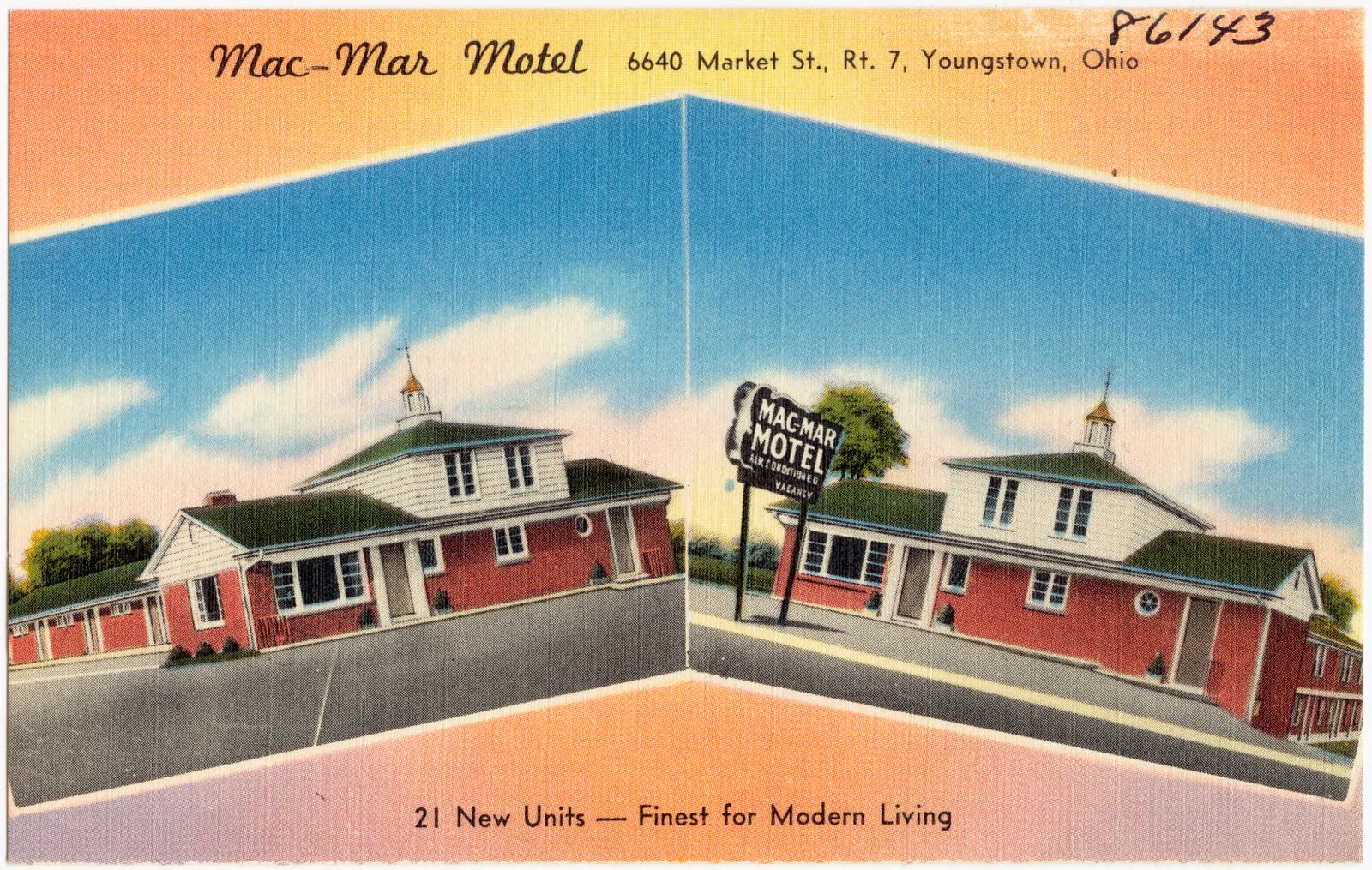
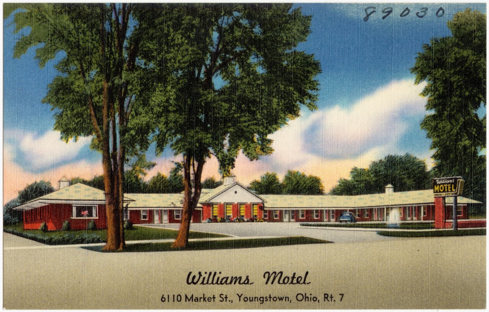
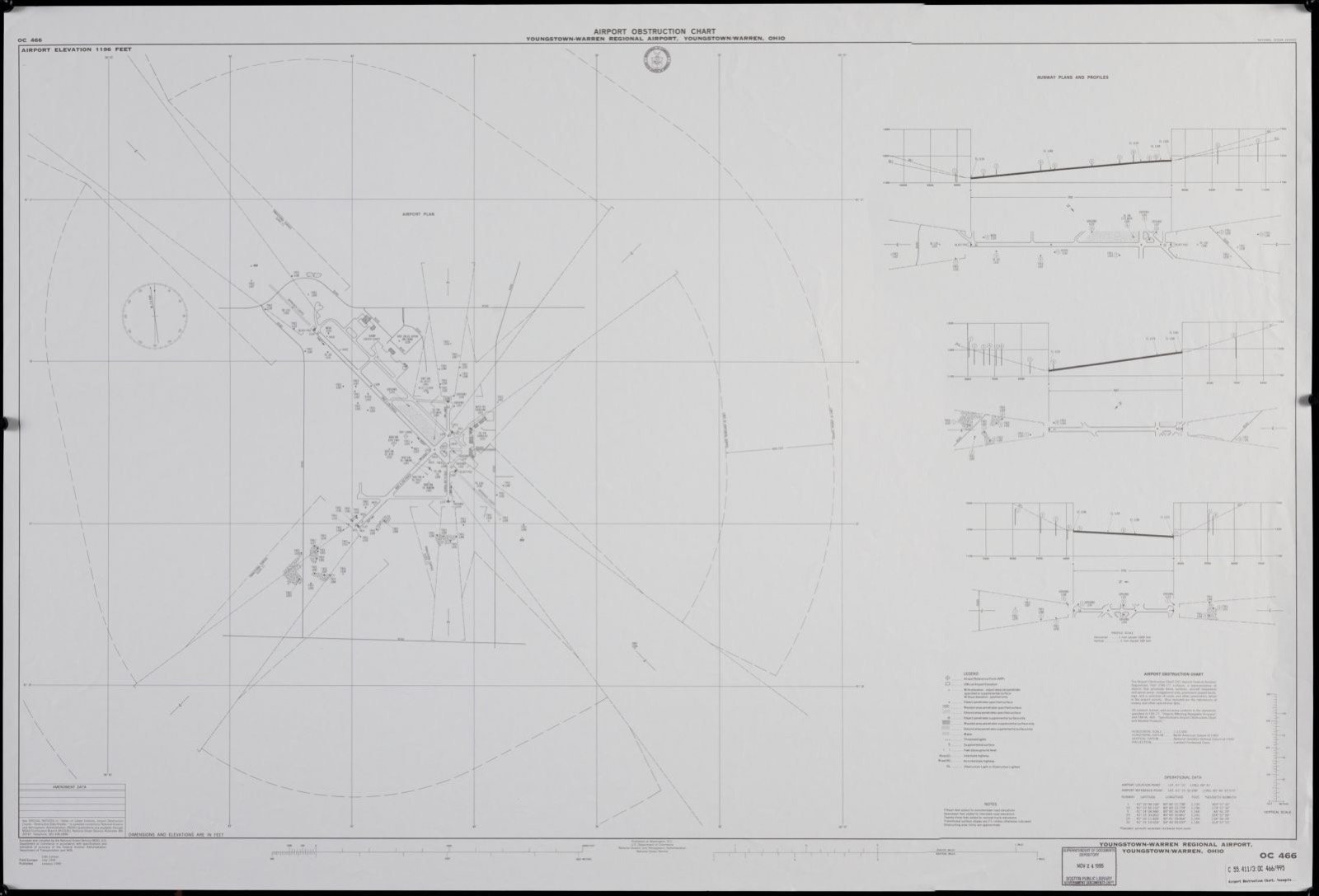
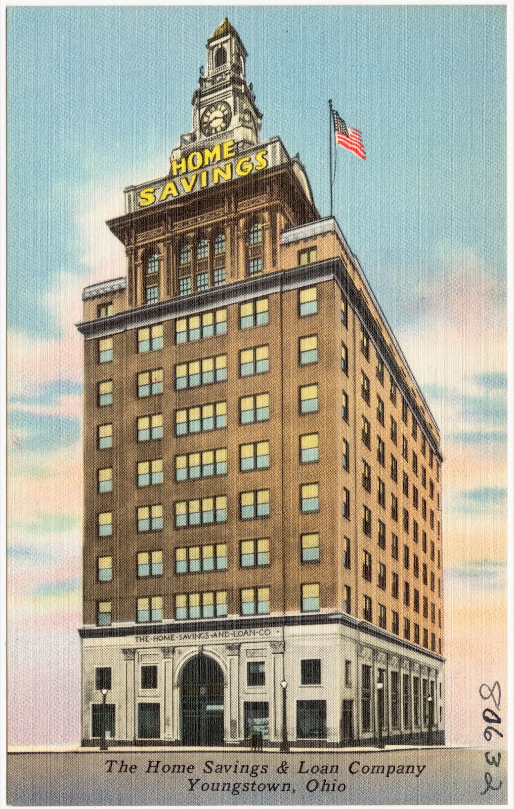
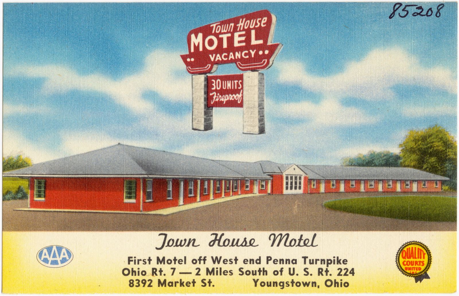
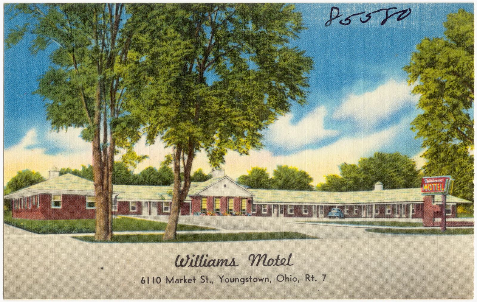
Youngstown largest clothing store, Bud The Tailor. Boston Public Library, via the Digital Public Library of America.Glasgow Tailors, est. - 1911. Boston Public Library, via the Digital Public Library of America.Mac-Mar Motel, 6640 Market St., Rt. 7, Youngstown, Ohio. Boston Public Library, via the Digital Public Library of America.Williams Motel, 6110 Market St., Youngstown, Ohio, Rt. 7. Boston Public Library, via the Digital Public Library of America.Airport obstruction chart, OC 466, Youngstown-Warren Regional Airport, Youngstown/Warren, Ohio. United States. National Ocean Service, Boston Public Library, via the Digital Public Library of America.The Home Savings & Loan Company, Youngstown, Ohio. Boston Public Library, via the Digital Public Library of America.Town House Motel. Boston Public Library, via the Digital Public Library of America.Williams Motel, 6110 Market St., Youngstown, Ohio, Rt. 7. Boston Public Library, via the Digital Public Library of America.
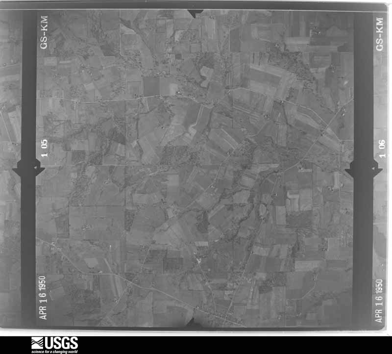
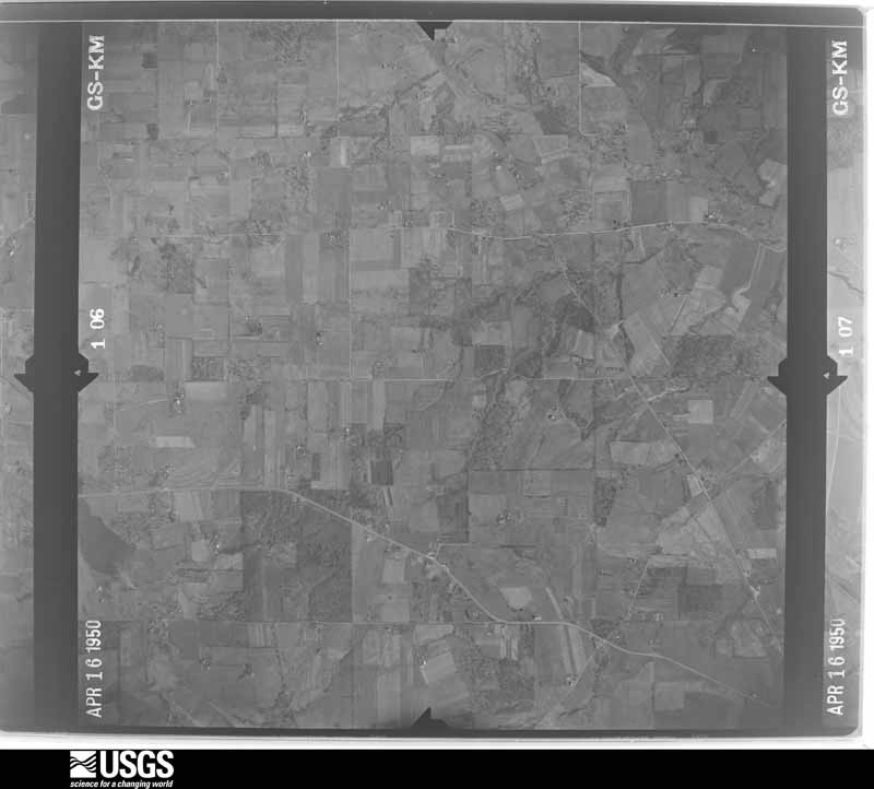
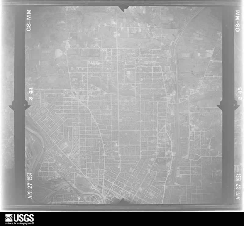
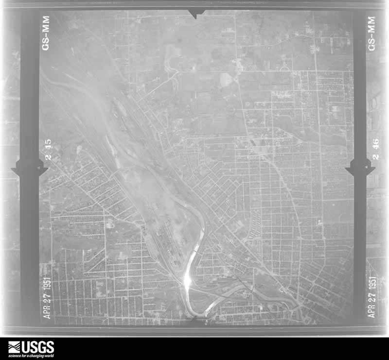
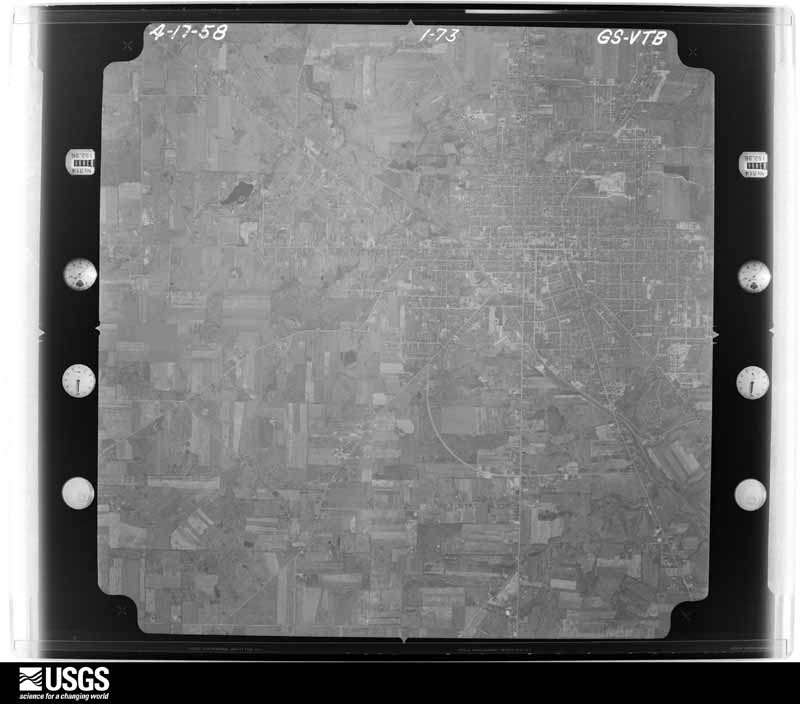
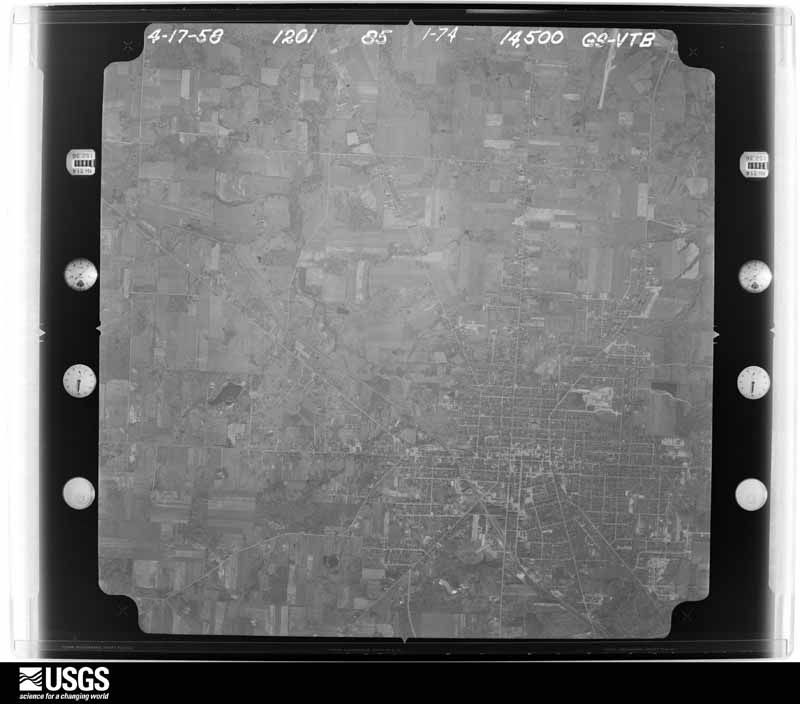
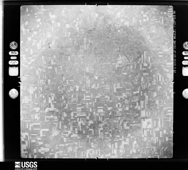
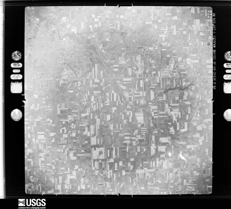
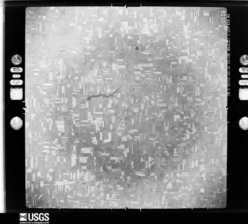
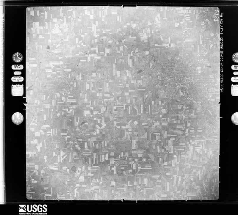
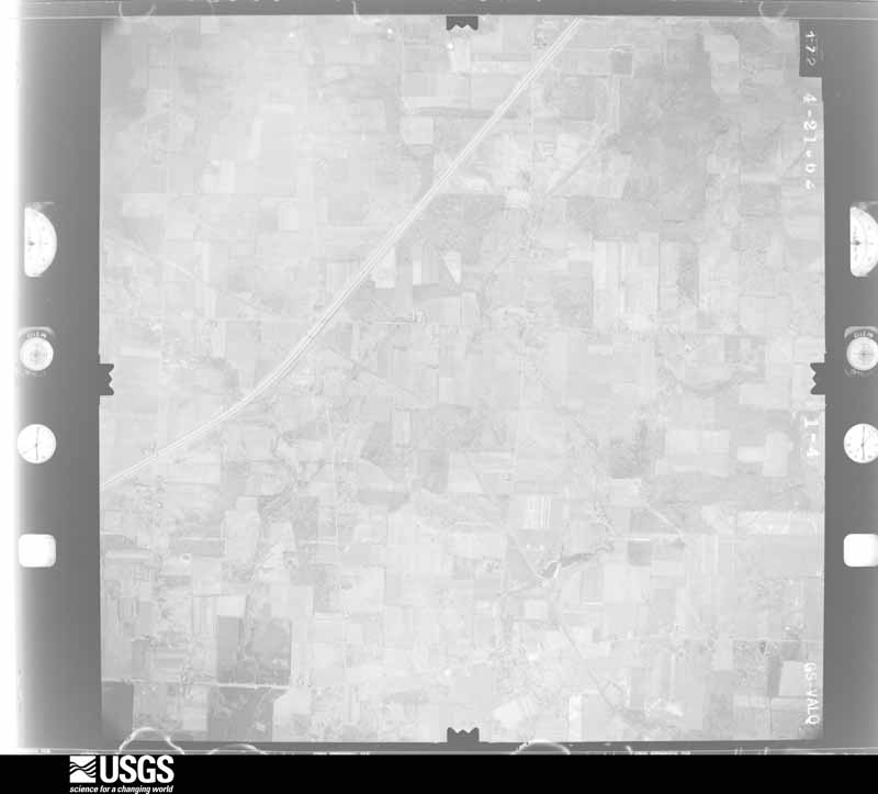
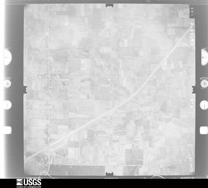
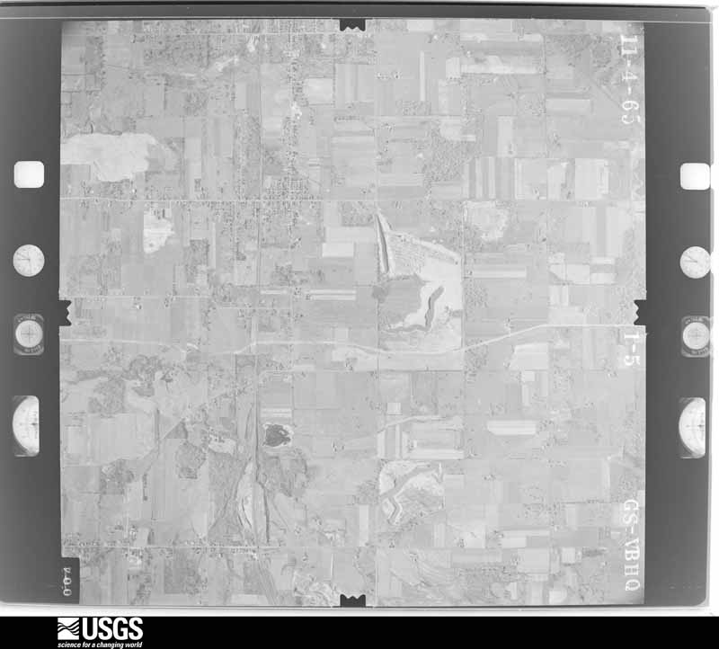
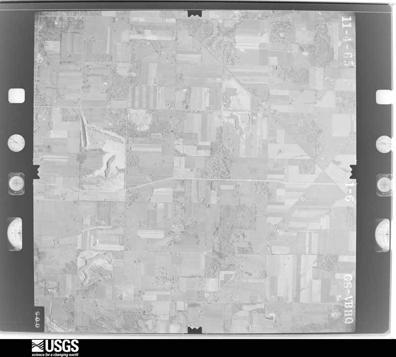
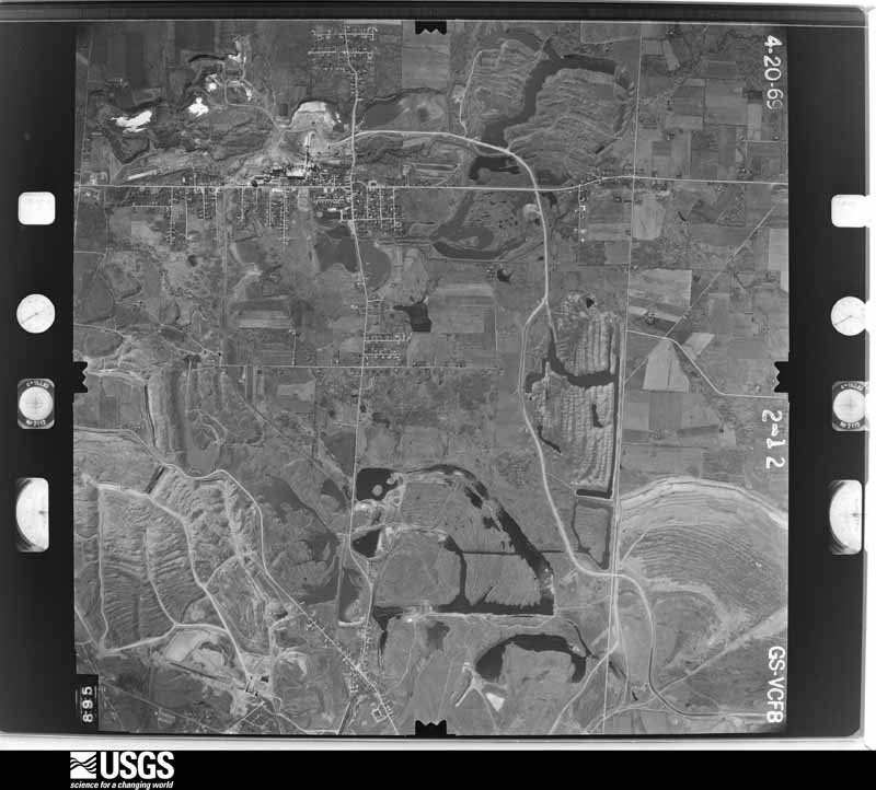
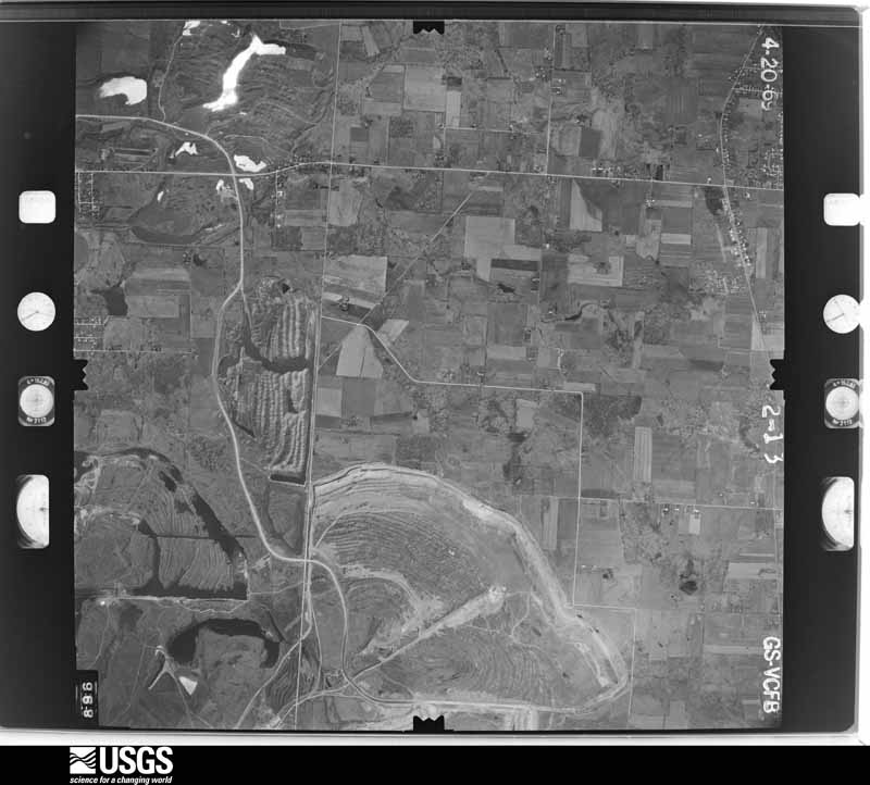
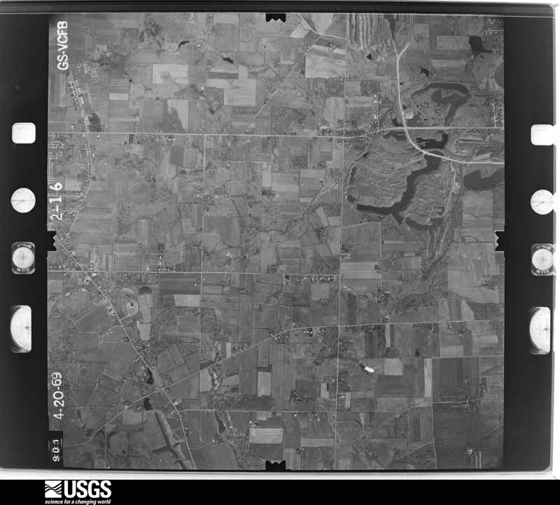
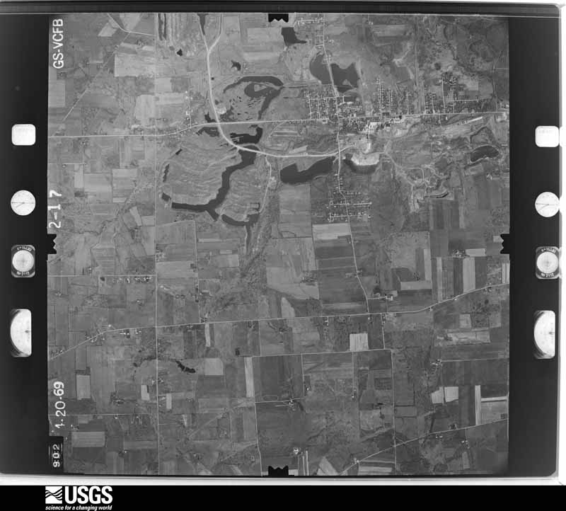
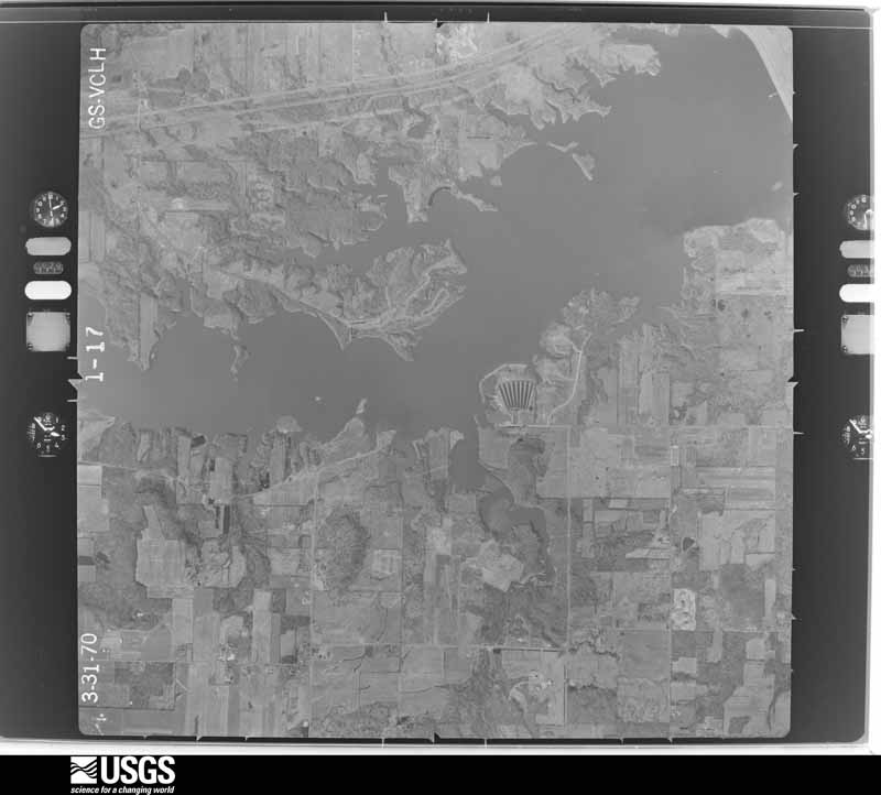
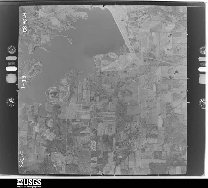
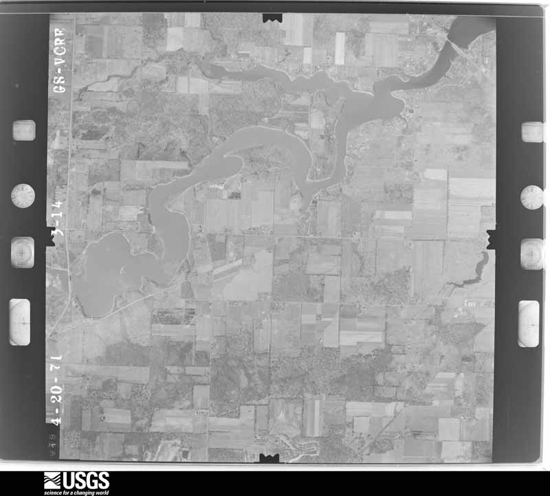
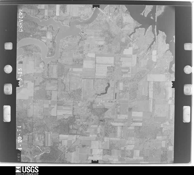
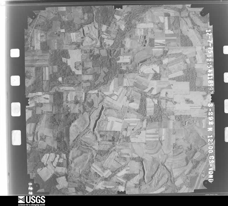
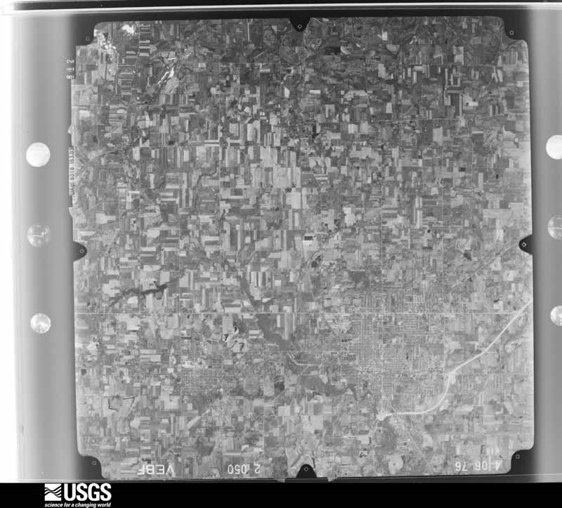
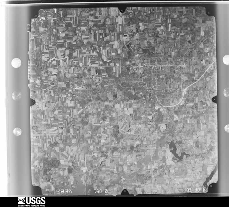
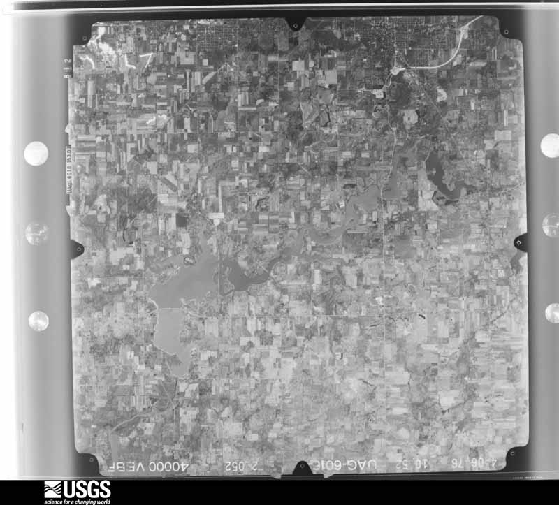
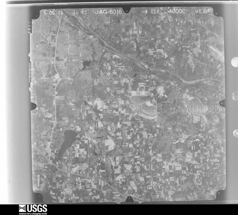
The county from the air
48 of 805 shown
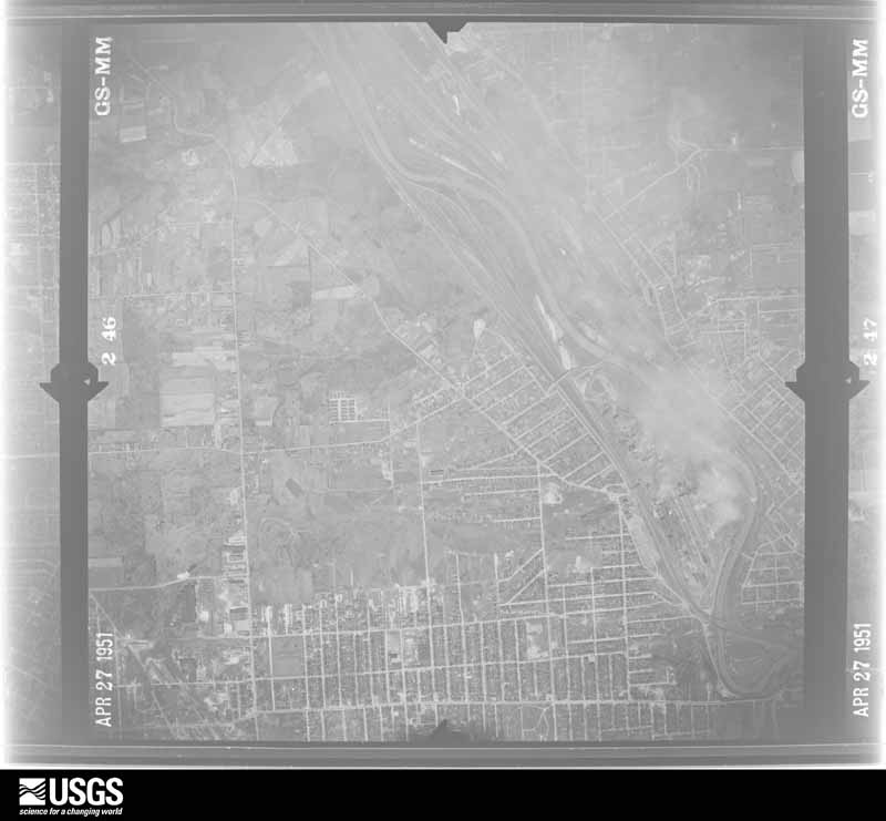
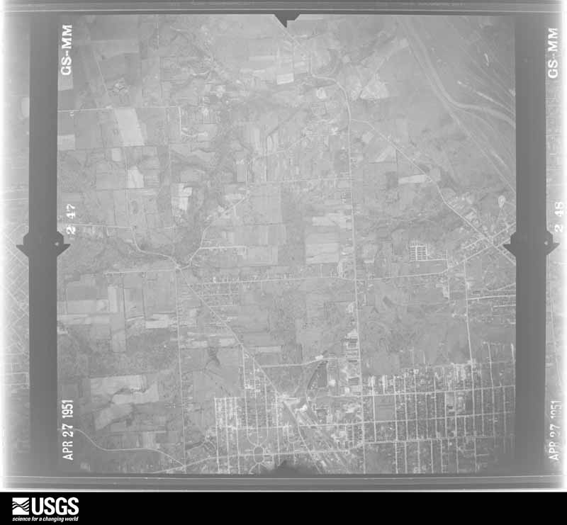
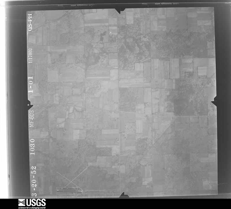
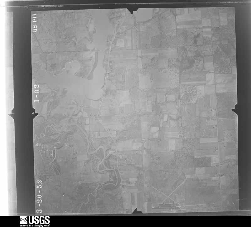
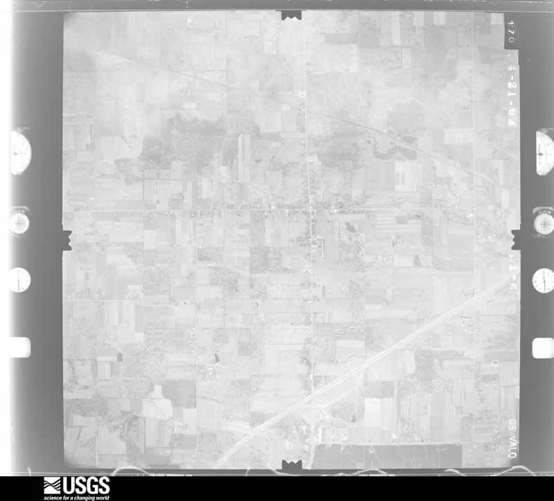
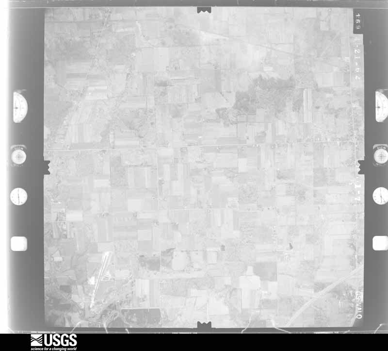
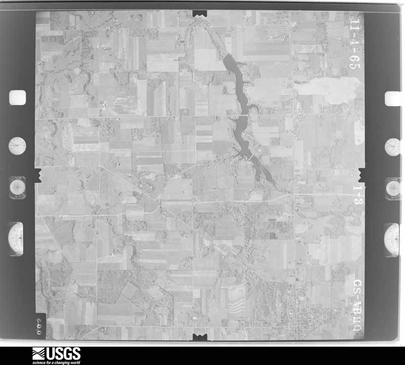
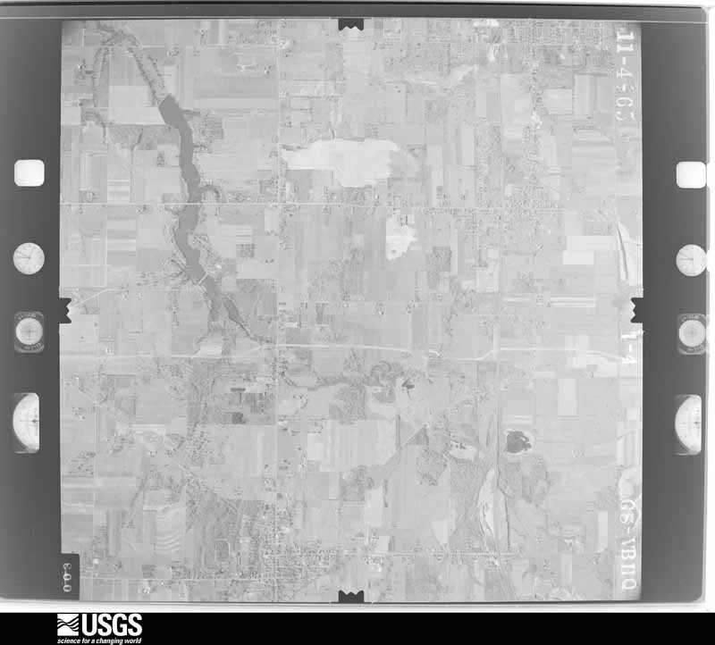
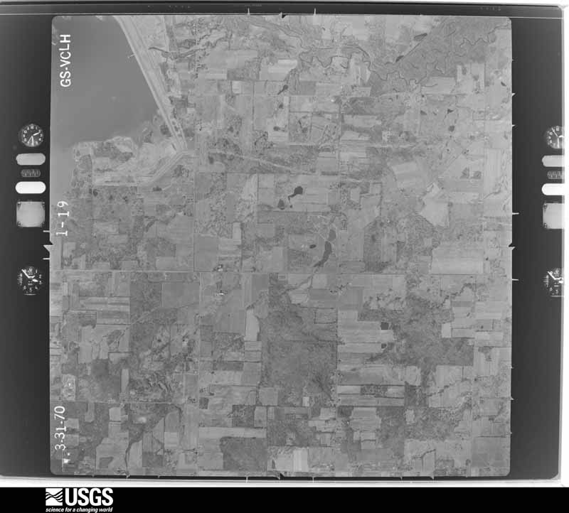
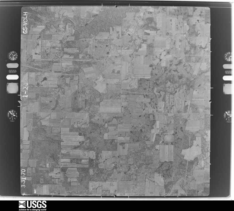
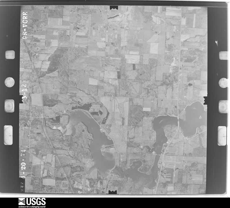
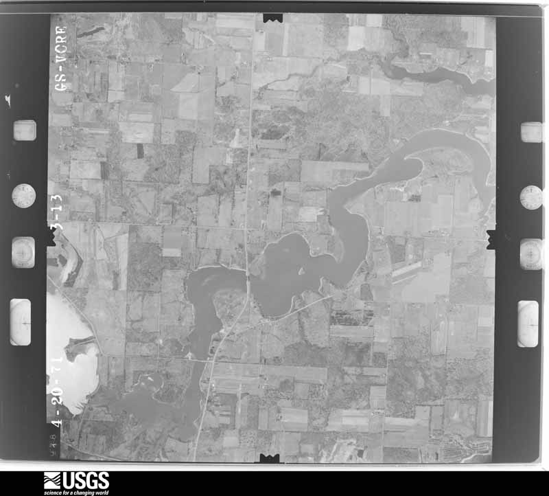
Flown by the U.S. Geological Survey
between 1937 and 1989, the Aerial Photo Single Frames collection is
the definitive mid-century view of the land: fields, roads and rivers
as the camera saw them. 805 frames touch this county; the
selection below spreads across the decades of flights (at most four
per year), so one flight cannot crowd out the rest. The full set is
free to browse and download at
EarthExplorer under the dataset Aerial Photo Single
Frames.
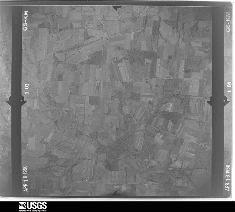
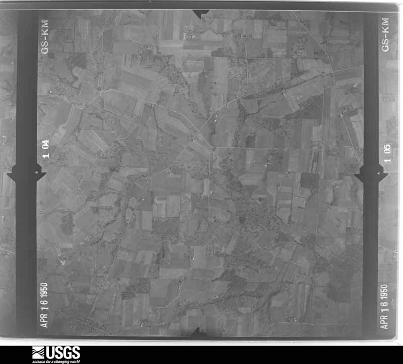
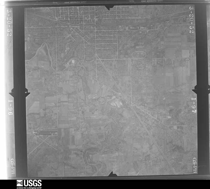
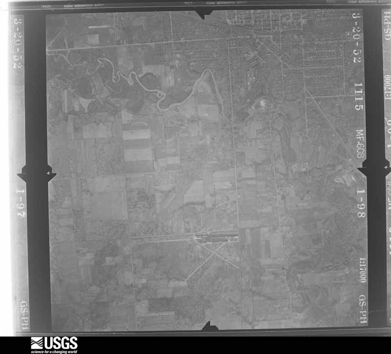
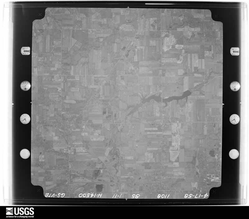
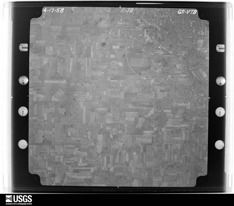
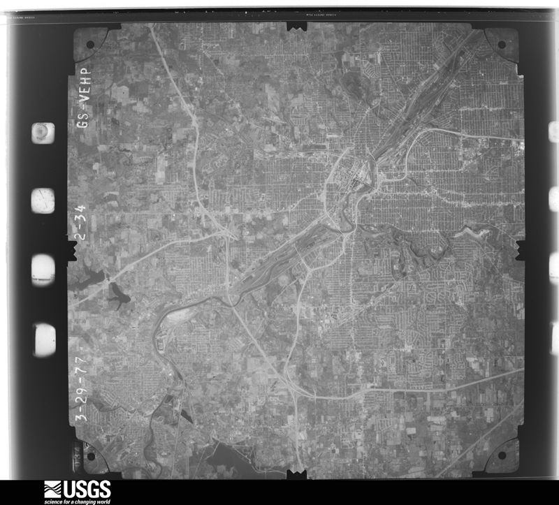
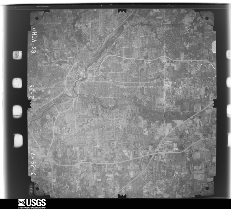
1950-04-27, scale 1:19200. U.S. Geological Survey aerial photograph.1950-04-27, scale 1:19200. U.S. Geological Survey aerial photograph.1950-04-27, scale 1:19200. U.S. Geological Survey aerial photograph.1950-04-27, scale 1:19200. U.S. Geological Survey aerial photograph.1951-06-04, scale 1:19200. U.S. Geological Survey aerial photograph.1951-06-04, scale 1:19200. U.S. Geological Survey aerial photograph.1951-06-04, scale 1:19200. U.S. Geological Survey aerial photograph.1951-06-04, scale 1:19200. U.S. Geological Survey aerial photograph.1952-03-20, scale 1:17000. U.S. Geological Survey aerial photograph.1952-03-20, scale 1:17000. U.S. Geological Survey aerial photograph.1952-03-20, scale 1:17000. U.S. Geological Survey aerial photograph.1952-03-20, scale 1:17000. U.S. Geological Survey aerial photograph.1958-04-17, scale 1:29000. U.S. Geological Survey aerial photograph.1958-04-17, scale 1:29000. U.S. Geological Survey aerial photograph.1958-04-17, scale 1:29000. U.S. Geological Survey aerial photograph.1958-04-17, scale 1:29000. U.S. Geological Survey aerial photograph.1960-05-03, scale 1:60000. U.S. Geological Survey aerial photograph.1960-05-03, scale 1:60000. U.S. Geological Survey aerial photograph.1960-05-03, scale 1:60000. U.S. Geological Survey aerial photograph.1960-05-03, scale 1:60000. U.S. Geological Survey aerial photograph.1962-04-21, scale 1:24000. U.S. Geological Survey aerial photograph.1962-04-21, scale 1:24000. U.S. Geological Survey aerial photograph.1962-04-21, scale 1:24000. U.S. Geological Survey aerial photograph.1962-04-21, scale 1:24000. U.S. Geological Survey aerial photograph.1965-11-04, scale 1:24000. U.S. Geological Survey aerial photograph.1965-11-04, scale 1:24000. U.S. Geological Survey aerial photograph.1965-11-04, scale 1:24000. U.S. Geological Survey aerial photograph.1965-11-04, scale 1:24000. U.S. Geological Survey aerial photograph.1969-04-20, scale 1:24000. U.S. Geological Survey aerial photograph.1969-04-20, scale 1:24000. U.S. Geological Survey aerial photograph.1969-04-20, scale 1:24000. U.S. Geological Survey aerial photograph.1969-04-20, scale 1:24000. U.S. Geological Survey aerial photograph.1970-04-09, scale 1:24000. U.S. Geological Survey aerial photograph.1970-04-09, scale 1:24000. U.S. Geological Survey aerial photograph.1970-04-09, scale 1:24000. U.S. Geological Survey aerial photograph.1970-04-09, scale 1:24000. U.S. Geological Survey aerial photograph.1971-05-09, scale 1:24000. U.S. Geological Survey aerial photograph.1971-05-09, scale 1:24000. U.S. Geological Survey aerial photograph.1971-05-09, scale 1:24000. U.S. Geological Survey aerial photograph.1971-05-09, scale 1:24000. U.S. Geological Survey aerial photograph.1972-10-15, scale 1:130000. U.S. Geological Survey aerial photograph.1975-05-01, scale 1:24000. U.S. Geological Survey aerial photograph.1976-04-01, scale 1:80000. U.S. Geological Survey aerial photograph.1976-04-01, scale 1:80000. U.S. Geological Survey aerial photograph.1976-04-01, scale 1:80000. U.S. Geological Survey aerial photograph.1976-04-01, scale 1:80000. U.S. Geological Survey aerial photograph.1977-03-29, scale 1:80000. U.S. Geological Survey aerial photograph.1977-03-29, scale 1:80000. U.S. Geological Survey aerial photograph.
City directories
4 volumes
The "who lived here, by year" answer:
pre-1929 public-domain directory volumes naming the county's people,
machine-read and searchable as text.
The thermometers that kept this
county's weather, and the gages that watched its rivers, as the
federal records hold them. The extremes below are measured values
from those records, not estimates.
ELLSWORTH1893 to 1959, hottest 36.7 C, coldest -25.0 C
CANFIELD 1 S1896 to 1998, hottest 39.4 C, coldest -30.6 C
BELOIT1911 to 1949, hottest 36.7 C, coldest -28.9 C
Who lived here in 1950, one enumeration
district at a time, as the Census Bureau described each district.
Each row opens its official National Archives result, with Population
Schedules and ED Maps available there.
50-1Austintown township: Austintown township - That part Bounded by County line; Youngstown city limits, Baltimore and Ohio Railroad; Connecticut Ave., Connecticut Ave. extended, Four Mile Run Rd., N. Maple Dr.. N. Edgehill Ave., Stambaugh Ave., Idlewood Rd.; Raccoon Rd., Four Mile Run Rd. N., Four Mile Run
50-2Austintown township - That part Bounded by County line; Four Mile Run, Four Mile Run Rd. N., Raccoon Rd.; State Hwy. 18; State Hwy. 46
50-3Austintown township - That part Bounded by County line; State Hwy. 46; State Hwy. 18; Township line
50-4Austintown township - That part Bounded by State Hwy. 18; State Hwy. 46; Township line; Township line
50-5Austintown township - That part Bounded by State Hwy. 18; Raccoon Rd.; Township line; State Hwy. 46
50-6Austintown township - That part Bounded by Maple Dr., Four Mile Run Rd. N., Connecticut Ave. extended, Connecticut Ave., Baltimore and Ohio Railroad; Youngstown city limits; Four Mile Run Rd. S., Potomac Ave., Oakley, S. Navarre Ave., Elmwood Ave.; S. Roanoke Ave., Mahoning Ave. (Wickliff Blvd.), Raccoon Rd., Idlewood Rd., Stambaugh Ave., N. Edgehill Ave.
50-7Austintown township - That part Bounded by Mahoning Ave. (Wickliffe Blvd.), S. Roanoke Ave., Elmwood Ave. S. Navarre Ave., Oakley, Potomac Ave., Four Mile Run Rd. S.; Youngstown city limits; Township line; Raccoon Rd.
50-8Beaver township: Beaver township - That part east of State Hwy. 7
50-9Beaver township - That part east of Mill Creek and west of State Hwy. 7
50-10Beaver township - That part west of Mill Creek
50-12Poland village, comprising parts of Boardman and Poland townships: Poland village - That part in Boardman township
50-13Poland village - That part in Poland township northeast of State Hwy. 90
50-14Poland village - That part in Poland township southwest of State Hwy. 90
50-15Boardman township, outside Poland village: Boardman township - That part Bounded by Youngstown city limits; Struthers city limits; Brandon Ave., Southern property line fence of Country Club; Western Property line fence of Country Club
50-16Boardman township - That part Bounded by Youngstown city limits; Youngstown city limits, Western and southern property lines (fence) of Country Club, Brandon Ave., Struthers city limits, Poland - Youngstown Rd.; Mathews Rd.; South Ave. extended, Indianola Rd., Simon Rd., South Ave. Rd.
50-17Boardman township - That part Bounded by Youngstown city limits; South Ave. Rd., Simon Rd.; Indianola Rd.; Market
50-18Boardman township - That part Bounded by Youngstown city limits; Youngstown city limits, Market, Shields - Titusville Rd., Property line (fence) of Mill Creek Park and Golf Course Rd.; Canfield - Poland Rd. (State Hwy. 486); Lockwood Blvd. (State Hwy. 834), Glenmere Dr.
50-19Boardman township - That part Bounded by Youngstown city limits; Glenmere Dr., Lockwood Blvd. (State Hwy. 834); Township line
50-20Boardman township - That part Bounded by Canfield - Poland Rd. (State Hwy. 486); Youngstown - Lisbon Rd.; Township line; Township line
50-21Boardman township - That part Bounded by Shields - Titusville Rd.; Glenwood Ave.; Canfield - Poland Rd. (State Hwy. 486); Property line (fence) of Mill Creek Park and Golf Course
50-22Boardman township - That part Bounded by Shields - Titusville Rd.; Market; Canfield - Poland Rd. (State Hwy. 486); Glenwood Ave.
50-23Boardman township - That part Bounded by Shields - Titusville Rd.; Electric Railroad; Canfield - Poland Rd. (State Hwy. 486); Market
50-24Boardman township - That part Bounded by Indianola Rd.; South Ave. extended; Mathews Rd.; Electric Railroad
50-25Boardman township - That part Bounded by Mathews Rd.; Township line, Poland village limits; Canfield - Poland Rd. (State Hwy. 486); Electric Railroad
50-26Boardman township - That part Bounded by Canfield - Poland Rd. (State Hwy. 486); Poland Village limits, Township line, Poland village limits, Township line; Township line; Youngstown E. Liverpool Rd.
50-27Boardman township - That part Bounded by Canfield - Poland Rd. (State Hwy. 486); Youngstown E. Liverpool Rd.; Township line; Youngstown - Lisbon Rd. (Remainder of Boardman township is in Poland village)
50-28Canfield township: Canfield village: Canfield village - That part east of Broad
50-33Struthers city, comprising parts of Coitsville and Poland townships: Struthers city - That part of Ward 1 in Coitsville township Bounded by City limits; City limits; Victor Ave., Township line; Bridge
50-34Struthers city - That part of Ward 1 in Coitsville township Bounded by City limits; Bridge; Township line; Pittsburgh, Youngstown & Ashtabula Railroad
50-35Struthers city - That part of Ward 2 in Coitsville township Bounded by Pittsburgh, Youngstown & Ashtabula Railroad; Township line; City limits
50-36Struthers city - That part of Ward 1 in Poland township Bounded by Township line, Victor Ave., City limits; City limits; Struthers - New Castle Rd.; Broad
50-37Struthers city - That part of Ward 1 in Poland township Bounded by Township line; Broad, Struthers - New Castle Rd., City limits; Ward line; Pittsburgh, Youngstown & Ashtabula Railroad
50-38Struthers city - That part of Ward 2 in Poland township Bounded by Township line; Pittsburgh, Youngstown & Ashtabula Railroad, Hazel, State; Short, Elm; William, Park Ave., Charles, State
50-39Struthers city - That part of Ward 2 in Poland township Bounded by Township line; State, Charles, Park Ave.. William; Elm; Fifth
50-40Struthers city - That part of Ward 2 in Poland township Bounded by City limits, Midlothian Blvd.; Fifth; Elm; City limits
50-41Struthers city - That part of Ward 2 in Poland township Bounded by Elm; Euclid Ave.; Ward line; Fifth
50-42Struthers city - That part of Ward 2 in Poland township Bounded by Elm, Short, State, Hazel; Pittsburgh, Youngstown & Ashtabula Railroad, Poland Ave.; Sexton, Argonne Ave., Ward line; Euclid Ave.
50-43Struthers city - That part of Ward 3 in Poland township Bounded by Pittsburgh, Youngstown & Ashtabula Railroad, Ward line; City limits; City limits; Center, Katherine, Narcissa, Lowellville Rd., Prospect
50-44Struthers city - That part of Ward 3 in Poland township Bounded by Pittsburgh, Youngstown & Ashtabula Railroad, Prospect, Lowellville Rd.; Narcissa; Katherine; Center
50-45Struthers city - That part of Ward 3 in Poland township Bounded by Pittsburgh, Youngstown & Ashtabula Railroad; Center; Wetmore Dr.; Yellow Creek
50-46Struthers city - That part of Ward 3 in Poland township Bounded by Wetmore Dr.; Center, City limits; City limits; Yellow Creek
50-47Struthers city - That part of Ward 4 in Poland township Bounded by Ward line, Argonne Ave., Sexton, Poland Ave., Pittsburgh, Youngstown & Ashtabula Railroad; Yellow Creek; Wetmore Dr.; Poland Ave., Creed, Garfield
50-48Struthers city - That part of Ward 4 in Poland township Bounded by Elm; Fifth; Wilson, Eight, Spring; City limits
50-49Struthers city - That part of Ward 4 in Poland township Bounded by Spring, Eight, Wilson; Fifth; City limits; City limits
50-50Struthers city - That part of Ward 4 in Poland township Bounded by Ward line, Garfield, Creed; Poland Ave.; Harvey Ave., City limits; Fifth
50-51Struthers city - That part of Ward 4 in Poland township Bounded by Harvey Ave., Poland Ave., Wetmore Dr.; Yellow Creek; City limits; City limits
50-52Coitsville township, outside Struthers city: Campbell citys: Campbell city - That part of Ward 1 Bounded by Robinson Rd.; City limits; City limits, Baltimore and Ohio Railroad; Jackson extended, Jackson, Blackburn
50-53Campbell city - That part of Ward 1 Bounded by Robinson Rd.; Blackburn; Jackson, Murray Ave.; Madison
50-54Campbell city - That part of Ward 1 Bounded by Robinson Rd.; Madison, Madison extended; Baltimore and Ohio Railroad; Adams extended, Adams
50-55Campbell city - That part of Ward 1 Bounded by Robinson Rd.; Adams, Adams extended, Baltimore and Ohio Railroad; City limits; Ward line, Robinson Rd.
50-56Campbell city - That part of Ward 1 Bounded by Madison extended, Madison; Murray Ave.; Jackson, Jackson extended; Baltimore and Ohio Railroad
50-57Campbell city - That part of Ward 2 Bounded by Coitsville Rd., Ward line, City limits; City limits; Hyatt Ave.; Twelfth
50-59Campbell city - That part of Ward 2 Bounded by Hyatt Ave.; Sixteenth; Tenney Ave., Fifteenth, Penhale Ave.; Twelfth
50-60Campbell city - That part of Ward 2 Bounded by Penhale Ave.; Fifteenth; Tremble Ave.; Twelfth
50-61Campbell city - That part of Ward 2 Bounded by Tremble Ave.; Fourteenth; Robinson Rd.; Twelfth
50-62Campbell city - That part of Ward 2 Bounded by Tenney Ave.; Sixteenth; Robinson Rd.; Fourteenth, Tremble Ave., Fifteenth
50-63Campbell city - That part of Ward 2 Bounded by Tenney Ave.; Princess; Robinson Rd.; Sixteenth
50-64Campbell city - That part of Ward 2 Bounded by Tenney Ave., City limits; City limits; Robinson Rd.; Princess
50-65Campbell city - That part of Ward 3 Bounded by Sanderson Ave.; Twelfth; Penhale Ave.; Fourth
50-66Campbell city - That part of Ward 3 Bounded by Penhale Ave.; Twelfth; Tenney Ave., Warhurst Rd.; Wilson Ave., Fourth
50-67Campbell city - That part of Ward 3 Bounded by Ward line, Wilson Ave., Warhurst Rd.; Ninth, Wilson Ave.; Ward line; City limits
50-68Campbell city - That part of Ward 3 Bounded by Warhurst Rd., Tenney Ave.; Twelfth; Robinson Rd.; Wilson Ave., Ninth
50-69Campbell city - That part of Ward 4 Bounded by City limits; Ward line; Coitsville Rd.; Courtland Ave.
50-70Campbell city - That part of Ward 4 Bounded by City limits; Courtland Ave.; Coitsville Rd.; City limits
50-71Campbell city - That part of Ward 4 Bounded by City limits, Coitsville Rd.; Sixth, Blossom Ave., Fourth, Ward line; City limits; City limits
50-72Campbell city - That part of Ward 4 Bounded by Coitsville Rd.; Twelfth; Sanderson Ave.; Fourth, Blossom Ave., Sixth
50-73Coitsville township - That part outside Campbell and Struthers cities, excluding that small area south of U.S. Hwy. 422, north and east of Youngstown city limits and west of Campbell city limits and also that small area northwest of Struthers city limits and south and east of Campbell city limits
50-75Goshen township Goshen township - That part north of State Hwy. 165
50-76Goshen township - That part south of State Hwy. 165
50-77Green township: Washingtonville village - That part in Mahoning county, comprising part of Green township (Remainder of Washingtonville village is in Salem township, Columbiana County )
50-78Green township - That part north of State Hwy. 165
50-79Green township - That part south of State Hwy. 165, outside Washingtonville village
50-82Milton township - That part outside Craig Beach village
50-83Poland township, outside Struthers city and Poland village: Lowellville village: Lowellville village - That part Bounded by Village limits; Village limits; Village limits, Mahoning River; McGill, Walnut, Quisner Ave.
50-84Lowellville village - That part Bounded by Village limits; Quisner Ave., Walnut, McGill; Mahoning River, Village limits; Village limits
50-85Lowellville village - That part Bounded by Mahoning River; Village limits; Village limits; Village limits
50-86Poland township - That part Bounded by Township line; Township line; Baltimore and Ohio Railroad, Lowellville village limits, Baltimore and Ohio Railroad, Struthers city limits
50-87Poland township - That part Bounded by Baltimore and Ohio Railroad; Lowellville village limits; Kennedy Rd., Robinson St., Electric Railroad extended, Electric Railroad; Struthers city limits
50-88Poland township - That part Bounded by Struthers city limits, Electric Railroad, Electric Railroad extended, Robinson, Kennedy Rd., Lowellville village limits, Mahoning River; Township line; Township line; Township line, Poland village limits, New Springfield Rd., Lee Run Rd., Youngstown - Pittsburgh Rd., Poland village limits, Yellow Creek, Lake Hamilton
50-89Poland township - That part Bounded by Struthers city limits; Struthers city limits; Lyon Blvd. (Poland Ave.); Township line
50-90Poland township - That part Bounded by Lyon Blvd. (Poland Ave.), Struthers city limits; Lake Hamilton, Yellow Creek; Poland village limits; Poland village limits, Township line
50-91Poland township - That part Bounded by Poland village limits; Youngstown - Pittsburgh Rd.; Lee Run Rd.; New Springfield Rd., Poland village limits
50-92Poland township - That part Bounded by Baltimore and Ohio Railroad; Township line; Mahoning River; Lowellville village limits (Remainder of Poland township is in Poland village and Struthers city)
50-94Sebring village: Sebring village - That part of Ward 1 Bounded by Ohio Ave.; Sixteenth; Pennsylvania Ave.; Nineteenth, Oregon Ave., Eighteenth
50-95Sebring village - That part of Ward 1 Bounded by Ohio Ave.; Eighteenth, Oregon Ave., Nineteenth; Pennsylvania Ave.; Village limits
50-96Sebring village - That part comprising Ward 2 Bounded by Village limits; Sixteenth; Ohio Ave.; Village limits
50-97Sebring village - That part comprising Ward 3 Bounded by Maryland Ave.; Village limits; Pennsylvania Ave.; Sixteenth
50-98Sebring village - That part comprising Ward 4 Bounded by Village limits; Village limits; Maryland Ave.; Sixteenth
50-99Sebring village - That part comprising Ward 5 Bounded by Pennsylvania Ave.; Village limits; Village limits; Village limits
50-100East Alliance, unincorporated (See boundaries shown on aerial photo QH 1-9)
50-101Smith township - That part north of Pennsylvania Railroad, and northwest of Niles Branch of Pennsylvania Railroad outside the unincorporated place of East Alliance. (See aerial photo QH 1-9 for boundaries of East Alliance)
50-102Smith township - That part north of Pennsylvania Railroad, and southeast of Niles Branch of Pennsylvania Railroad, outside Beloit and Sebring villages
50-103Smith township - That part south of Pennsylvania Railroad, and east of Johnson Rd., outside Beloit and Sebring villages
50-104Smith township - That part south of Pennsylvania Railroad, and west of Johnson Rd., outside Sebring village and the unincorporated place of East Alliance (See aerial photo QH 1-9 for boundaries of East Alliance)
50-105Springfield township: New Middletown village
50-106Springfield township - That part north of the section line, from the southeast corner of Section 13, Township 9, Range 1 to the southwest corner of Section 18, Township 9, Range 2, outside New Middletown village
50-107Springfield township - That part north of State Hwy. 617, northeast of State Hwy. 165 and south of the section line from the southeast corner of Section 13, Township 9, Range 1 to the southwest corner of Section 18, Township 9, Range 2
50-108Springfield township - That part south of State Hwy. 617 and southwest of State Hwy. 165
Every Sanborn volume opens with a printed index
naming the town's mills, tanneries, hotels and works by proprietor. Those
indexes were read off the scanned sheets by machine and then matched to each
other, so a business surveyed four times appears here once, with the years it
survived. 12 of these 72 were named in more than one atlas. Each carries a
crop of the line it was read from: the spelling is the recogniser's and the
1880s lithographer's, and the scan behind it is the proof.
Every wildfire the federal occurrence
database records inside this county: 18 of them, burning about
19 acres. 0 started naturally and 0 were
recorded as arson. Each settlement page carries the fires within five
miles of it.
Reported cause
Fires
Debris and open burning
11
Missing data/not specified/undetermined
3
Recreation and ceremony
2
Smoking
1
Equipment and vehicle use
1
The five largest, by the area the report
gives. None of them was recorded as arson.
Date
Cause
Size
Reported by
Name on the report
10 November 2019
Recreation and ceremony
6.0 acres
Ohio Department of Natural Resources
15333
12 April 2019
Missing data/not specified/undetermined
2.0 acres
Ohio Department of Natural Resources
15149
29 August 2019
Missing data/not specified/undetermined
2.0 acres
Ohio Department of Natural Resources
15253
9 March 2020
Debris and open burning
1.5 acres
Ohio Department of Natural Resources
15463
6 May 2019
Debris and open burning
1.0 acres
Ohio Department of Natural Resources
15192
3 May 2020
Missing data/not specified/undetermined
1.0 acres
Ohio Department of Natural Resources
15728
21 August 2020
Debris and open burning
1.0 acres
Ohio Department of Natural Resources
15822
18 April 2019
Debris and open burning
1.0 acres
Ohio Department of Natural Resources
15172
Every settlement page carries the fires within five
miles of it - see the settlement index below.
Storms, 1955 to
2026
60 of 434 shown
The
NOAA Storm Events Database holds
434 reports for this county, causing 6 deaths,
33 injuries and about $41,719,510 in recorded property damage.
Each settlement page carries the reports that name it.
Kind of event
Reports
Thunderstorm Wind
264
Hail
126
Flash Flood
18
Tornado
17
Flood
5
Lightning
3
Heavy Rain
1
The most serious of them, by death, then
injury, then recorded damage. The accounts are quoted exactly as the
forecast office filed them.
A 66 year old male was struck and killed by lightning outside of his house. His home was on New Buffalo Road approximately two miles northwest of North Lima.
Six high school football players were hurt and two hospitalised when an equipment shed collapsed in southern Mahoning County just to the north of Salem. The football players had entered the shed to seek protection from thunderstorm winds estimated at 65 mph. Many trees, a couple power poles and a large road sign were downed in Youngstown.
Trees and power poles downed throughout the county. Around a dozen trees were downed in Struthers with one landing on a house causing minor damage. Another fallen tree did structural damage to a house in Austintown. A second house in Austintown lost most of its roof. A large tree fell on a car on the south side of Youngstown injuring the driver and destroying the car. The female occupant of the car was transported to a local hospital and treated for minor injuries.
Thunderstorms dumped up to three inches of rain on Mahoning County. Rainfall rates of nearly two inches per hour were reported. With the ground still saturated from flooding the previous week, small streams and creeks in the county quickly rose and flooded many areas. The north and east sides of Youngstown were among the hardest hit areas in the county. Extensive urban and lowland flooding occurred in these areas. Around 9 p.m. a fire truck responding to a fire on Andrews Avenue on the east side of Youngstown was washed off the road by flood waters up to two feet deep. 17 buildings on the Youngstown State University campus were damaged by flooding. Severe flooding also occurred in Campbell, Struthers and Boardman. Many homes and business in these communities were damaged by flooding. Dozens of cars were stranded in the county. Total damage to roads in the county from July 21st to July 27th topped $3 million.
Widespread flash flooding across the Boardman area. Local dispatch, local media, and the local stormwater district reported over 250 residences that experienced basement flooding, with a few reports of water filling entire basements. Widespread street flooding with reports of dozens of car stranded in high water as high as three feet deep. Radar estimated rainfall totaled up to 4.5 in just under a three hour period, which has a 0.2% chance or less probability of annual occurrence per NOAA Atlas 14. Instantaneous rates of up to 6 per hour were observed, with a peak 15 minute rainfall accumulation around 1.25.
From 4:30 p.m. until around 8 p.m., a line of heavy rain stalled along Route 224 from Poland all the way to Canfield in Mahoning County. The hardest hit areas were Boardman, Poland, and Canfield. As four or five inches of rain fell in just a few hours, water was waist-deep in many areas. Hardest hit were the neighborhoods of Glendale, Rockdale and Locust avenues off of Route 224, across from the Boardman Plaza in Canfield. There were a number of ground-floor and basement apartments along Indian Run Drive inundated. Canfield Village Middle and High Schools were closed for several days due to flooding. In total over 550 homes and businesses were impacted. Thirty one sustained major damage, most from garden view apartments and a few family residents. The majority of residents impacted fell under the minor and/or affected categories. Total damage estimates are a few million. There were no reported injuries or fatalities.
Heavy rainfall of 1.5 to 2.5 inches of rain fell across mainly central Mahoning County during the morning of June 23rd. Lowellville received significant damage to McGill Street between Walnut and Wood Streets with the road considered to be a total loss. The drainage system could not handle the flow of water and caused the road to buckle in several locations. Several streets were flooded in Lowellville, Struthers, and Boardman. Numerous retention ponds, back yards, and basements were also flooded. The Yellow Creek in Struthers overflowed it's banks. In Poland Township the Canterbury Creek also flooded some 13 homes on their first floor. An unofficial rain gauge in the area recorded near 5 inches of rainfall from the event. Another housing development prone to flooding saw 100 homes inundated with water up to the electric boxes.
For the second day in a row, heavy thunderstorm rains fell on Mahoning County. Two to locally four inches of rain fell on the county during the day. Rainfall rates approached two inches per hour during the evening hours. With the soil already saturated, this rain led to widespread flooding across the county. Boardman and the southern portion of Youngstown were the hardest hit areas. In Boardman, 15 homes had water up to the top of the first floor. Three other homes were destroyed when their basement walls collapsed. Over 60 roads had to closed due to flooding. Many homes and roads were also damaged in Youngstown. Dozens of vehicle became stranded in flood waters. There were numerous people rescued from their homes and vehicles.
Heavy rains associated with the remnants of Tropical Storm Frances caused flooding over portions of Mahoning County. Most of the flooding occurred in the eastern half of the county where rainfall totals were the greatest. The rain began early on the 8th and increased in intensity during the evening hours. The heavy rain continued into the 9th and finally ended just before daybreak. Rainfall totals from the event included: 3.56 inches at Sebring; 3.88 inches at Youngstown; 5.5 inches at Poland; 7.0 inches at Canfield and 9.25 inches near Poland. The Poland area was especially hard hit by flooding. A branch of Yellow Creek left it's banks and flooded much of the Cobbler's Run Subdivision along Dobbins Road. Several families had to be evacuated and at least two homes were destroyed when their basement walls collapsed. A library in Poland was also damaged. Extensive street and nuisance flooding was reported in both Beaver and Springfield Townships and also in Campbell and Boardman. Flood waters on some roads were reported to be as much as three feet deep. Occupants of three vehicles had to be rescued from their stranded cars. Two roads were washed out in the southeastern corner of the county. Hundreds of homes in Mahoning County were damaged, mainly by basement and nuisance flooding.
Thunderstorms dumped heavy rains on Mahoning County during the early morning hours of May 22nd causing widespread flooding. This was the third round of thunderstorms to affect the county in less than 24 hours. One to three inches of rain fell during the early morning storms. This rain combined with ground already saturated from the earlier storms caused many small streams and creeks to leave their banks. In Poland, Yellow Creek went into flood damaging many homes and a library. The Mahoning River went into flood in Mill Creek Park flooding several roads and stranding several vehicles. Extensive flooding also occurred on the north side of Youngstown. Several roads and bridges were damage by flooding and over a dozen more roads had to be closed because of flooding. Dozens of homes were damaged by flood waters with ten damaged enough to be declared uninhabitable.
Two rounds of thunderstorms moved into the Boardman areas of Mahoning County, one around 430 PM and the second around 530 PM. The intensity of the first storm caused immediate runoff in the area. This resulted in nuisance flooding of low lying and poor drainage areas. However the second storm exasperated flooding and elevating the severity almost instantaneously. The storm total rainfall was around 4 to 6 inches over about a 60-90 min period. In all 238 homes were affected, 101 had minor damage, 1 had major damage, and 4 were destroyed. The severe flooding impacts occurred around 515 PM to 530 PM and continued through the evening.
A tornado touched down just southwest of the Mahoning River between Gibson and Poland Avenues on the northeast side of Youngstown. The tornado then skipped northeast for approximately eight miles before dissipating on the eastern edge of the city just south of the Trumbull County border. The damage path was 50 to 100 yards in width and was intermittent in nature. Ten businesses and around 80 homes were damaged by the tornado. One business was destroyed, and of the 80 homes, 60 had major damage. Two railroad cars were overturned and hundreds of trees were toppled along the damage path.
Thunderstorms dumped very heavy rains on the northern and eastern portions of Mahoning County. Rainfall rates during the evening hours approached two inches per hour at times. Rainfall totals for the day ranged from around five inches in the northern portion of the county to around two inches in the south. Urban and lowland flooding occurred countywide but the northeastern corner of the county sustained the greatest damage after several small streams and creeks left their banks. Many homes and streets in that corner of the county were affected by flood waters up to four feet deep. Portions of Youngstown were also impacted by this flooding and several buildings on the Youngstown State University campus were damaged. A handful of motorists had to be rescued from their cars.
A thunderstorm downburst with winds estimated to be as much as 95 mph caused extensive damage in Boardman. A mile long damage path began in the Hitchcock Woods area and stretched across a neighborhood bordered by Glenwood Avenue to the west and Market Street to the east. Around 20 homes were damaged in that neighborhood with the damage most concentrated along Shorehaven Drive. Most of the damage was caused by fallen trees landing on homes. At least one home had a tree penetrate the roof. Other homes had missing siding or roofing material. The damage path continued across Market Street where several business were damaged. An automobile dealership sustained the worst damage. It lost most of its roof and had some cinder block walls collapse. Many trees were knocked down in the area and widespread power outages were reported.
Thunderstorm downburst winds estimated to be in excess of 70 mph caused extensive damage in Boardman. The worst of the damage was from near the intersection of U.S. Highway 224 and Market Street east to near Interstate 680. A few businesses on Market Street lost sections of roofing. Several storage trailers in the area were also knocked over. Just to the east of Market Street many trees were downed along Crestline Place and Marinthana Avenue. Homes along these streets lost sections of roofing as well. The damage extended as far east as the Applewood Acres neighborhood. Downed trees and minor home damage were reported in that area as well. A couple of billboards were also damaged. Widespread power outages were reported in Boardman. It took more than a day for power to be fully restored.
Thunderstorms dumped heavy rains on Mahoning County causing urban and lowland flooding in the Youngstown and Boardman areas. Spotters measured 3.6 inches of rain in Youngstown. Many streets were flooded and dozens of homes experienced basement flooding. A few vehicles became stranded in the flood waters which were up to four feet deep at some locations. Several basement apartments had to be evacuated because of flooding.
A line of severe thunderstorms moved across Mahoning County and caused widespread damage and power outages. Trained spotters estimated wind speeds at 60 mph. Dozens of trees were downed across the county with the worst damage in the western half of the county. A business in Youngstown lost a large section of roof with several other buildings and homes in the county also damaged. A few vehicles were damaged by fallen trees and limbs. Over 25,000 customers were without power at the peak of the storm.
Thunderstorm downburst winds downed several large trees along Midlothian Boulevard. A vehicle parked along Midlothian Boulevard just west of Market Street was crushed by a tree. Several trees were also reported down along Hillman Street. An automobile dealership along Oak Street lost a large section of roofing. A second building was damaged on Marshall Street. Scattered power outages were reported in the area.
Thunderstorm downburst winds estimated at more than 60 mph caused a swath of damage from Canfield to Poland along the U.S. Highway 224. Dozens of trees, large limbs and utility poles were downed. Several thousand electric customers lost power during the storm, some for as many as 12 hours.
A National Weather Service storm survey confirmed a tornado touched down near the Society of Saint Paul on West Akron-Canfield Road and skipped east northeast through Canfield Township and the city of Canfield and finally lifted near South Raccoon Road in the northeast corner of Canfield Township. About 10 homes were damaged with trees on several houses and a couple of garages were heavily damaged. The storm tracked for just over 5 miles with maximum width of 200 yards and estimated wind speeds of 90 mph.
Extensive street and basement flooding in the Boardman and Struthers areas. A few reports, photos, and videos of up to 3 ft. of standing water on roadways, but a majority of roadway flooding ranged from a few inches up to knee deep water.
A thunderstorm downburst caused considerable damage in the Canfield and Boardman areas. Dozens of trees were downed along the U.S. Route 224 corridor. In Boardman, downed trees caused four roads to be closed and damaged three homes.
Heavy rain and rapid snow melt led to a widspread flooding across portions of Mahoning County. Rainfall reports in the county ranged from 1.5 to 1.75. Around six inches of heavy snow was on the ground at the onset of the rain. This snow rapidly melted as temperatures warmed into the 50s on the 28th. Up to an additional inch of water equivalent rainfall was released from the melted snow. Several residents had to be rescued or evacuated primarily in the Poland and and Hubbard areas. Numerous homes received flooded basements.
A weak F2 tornado touched down near Lowellville in eastern Mahoning County. The tornado had a intermittent damage path approximately four miles in length and 75 yards in width. Two homes, one business and two garages suffered significant damage with around a dozen other homes sustaining minor damage.
Thunderstorm downburst winds estimated to be as much as 70 mph downed many trees in Boardman. Some of the worst damage was on Cherrywood Drive on the northwest side of the city. A home in the that neighborhood was damaged by a fallen tree. There were also dozens of trees reported down in nearby Mill Creek Park. Scattered power outages were reported throughout Boardman.
A tornado skipped along a path approximately four to five miles long in Jackson Township. Several homes received structural damage including one that was moved slightly off its foundation. Another home had its garage door and contents destroyed and a few other homes had siding torn off. Power lines and several dozen trees were also knocked down along the path of the tornado.
Thunderstorms knocked down and destroyed a carport at an apartment complex in Austintown. Ten vehicles parked underneath the carport were either damaged or destroyed.
A line of severe thunderstorms moved across Mahoning County around daybreak and caused scattered power outages. Many trees were downed in Canfield and Youngstown.
Thunderstorm winds downed many trees in Milton, Berlin and Ellsworth Townships. A large tree crushed two cars in Lake Milton. Scattered power outages were reported in the area.
Heavy rain fell across the area during the morning hours of the 20th. Flash flooding conditions quickly developed during the mid morning hours with basements flooding, and roads becoming flooding causing cars to become stranded. A commercial building was flooded because the water got so high in the street that passing vehicles created waves. These waves hit up against the front of the building and eventually water got inside the building. During the afternoon a vehicle rescue was performed on someone trapped in floodwaters. By the afternoon, a rainfall report from Beloit measured 2.81 inches of rain since 4:00 am. Since the afternoon of the 19th, a total of 3.09 inches of rain fell there.
Thunderstorm winds caused some damage in the City of Youngstown. Four tents were toppled at a festival in the downtown area resulting in a few minor injuries. A church on Oakhill Avenue lost a large section of roofing. Many trees and large trees limbs were downed across the city as well.
Thunderstorm winds downed many trees. A building at Youngstown State University suffered damage when a 70 foot by 90 foot section of roof was peeled off. Awnings on two houses were also blown off.
Numerous trees and power lines were reported down from Lake Milton to North Jackson. Also, the trained spotter also observed golf ball size hail in North Jackson.
Numerous trees were reported down across western portions of the county.
Mines and
quarries
18 recorded
The Survey's mineral resources record
lists 18 workings inside this county. 10 still
produce and 8 are closed or unrecorded. Each settlement
page carries the workings within five miles of it.
Commodity
Workings
Limestone, General
3
Clay
3
Sand and Gravel, Construction
3
Clay, Coal
3
Stone, Crushed/Broken
3
Stone, Crushed/Broken, Clay, Coal
1
Iron
1
Aluminum
1
The least common of them first, because a
county's hundredth gravel pit says nothing its first ten did not.
Museum specimens collected inside this
county and catalogued with a date and a place: 696 of them, by
kingdom 409 animalia, 257 plantae, 29 fungi, 1 chromista. Each is a physical object in a named collection, not a
sighting. Held by CM, Ohio State University - Fish Division, Columbus, OH (OSUM), UMMZ, INHS, USNM, Ohio State University - Amphibian Division, Columbus, OH (OSUM) among others, and each settlement page carries
the specimens collected near it.
The oldest of them. A specimen proves
something was collected on that day; its absence proves nothing.
20th Century History of Youngstown and Mahoning County, Ohio, and Representative Citizens devotes a chapter to each township:
its boundaries and streams, who settled it and when, the mills, the
schools and the churches. All 2 are reproduced here in full. Each row
shows the township's own shape and where it lies in the county, drawn from
the Census Bureau's boundary. Which settlements belong to which township
is computed from that same boundary, not taken from the book.
Everyone 20th Century History of Youngstown and Mahoning County, Ohio, and Representative Citizens stops to write about, with
the section that describes them. Among them are the men who founded the
place and governed the Territory. Each name opens the passage itself, in
the words of 1907.
Named settlements recorded in the Geographic Names
Information System, each with the topographic sheets covering it. Villages,
hamlets and abandoned places alike. Each is shown with the watercourse or
landform it stands on and the survey quadrangle it falls on. The 5
places that were also surveyed for fire insurance come first, with the
number of atlases and photographs held for them.
The complete index, with nothing left out.
Each of these is a separate record with its own page: a federal survey
report, or the case file that argued a property on to the National
Register. Both are public domain and reproduced word for word.
Topographic sheets. USGS Historical Topographic Map Collection, county index, measured from the bulk metadata.
Fire insurance maps. Library of Congress Sanborn collection, faceted to this county.
Photographs. Each place queried individually against the Library of Congress Prints and Photographs search.
Wildfire. Short, Karen C. 2022. Spatial wildfire occurrence data for the United States, 1992-2020 [FPA_FOD_20221014]. 6th Edition. Fort Collins, CO: Forest Service Research Data Archive. https://doi.org/10.2737/RDS-2013-0009.6 Collected with United States Government funding and usable without additional permissions or fees.
Specimens. Global Biodiversity Information Facility (GBIF), https://www.gbif.org/. Only records licensed CC0 or CC BY are used. Records licensed CC BY-NC are excluded because this site carries advertising. Images are checked individually and any whose licence is non-commercial, no-derivatives or unreadable is refused.
Mines and quarries. USGS Mineral Resources Data System (MRDS) https://mrdata.usgs.gov/mrds/ A work of the United States government, no copyright under 17 U.S.C. 105.
Storms. NOAA National Centers for Environmental Information, Storm Events Database https://www.ncei.noaa.gov/stormevents/ A work of the United States government, no copyright under 17 U.S.C. 105. Narratives are quoted verbatim from the National Weather Service report and are not edited or summarised.
 Block
Block

![[Mrs. Albert Yaeger] storing home-dried [apples or corn] in sugar sacks](assets/locph_2017866797.jpg)
![[Mrs. Wright Hendricks] putting dried corn in paper bags, storing it for later use](assets/locph_2017866809.jpg)