Listed on the National Register of Historic Places in
1980. A historic map-sheet match is not published yet. The record needs a coordinate-quality review before it can be joined to a sheet boundary.
From the record
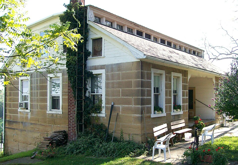
“The Frederick Kindleberger Stone House and Barn is a historic farmstead in the rural southeastern region of the U.S. state of Ohio. Located near the village of Clarington in Monroe County, the complex is distinguished by its heavy masonry architecture, and it has been named a historic site.”
Wikipedia article Frederick Kindleberger Stone House and Barn, CC BY-SA 4.0.
one of 9 National Register listings in Monroe County · listed in 1980 · category: Building.
National Register reference number.80003163- the number the National Park Service assigned this property when it was listed, and the key its nomination file is catalogued under at the National Archives.
Regional context, not property-specific
evidence. The
federal wildfire occurrence database
lists 12 fires within 5 miles of Kindleberger, Frederick, Stone House and Barn between
2010 and 2020, burning about 51 acres in total. None started naturally. None was recorded as arson.
Distance is straight-line from the map coordinates, so a fire counted
here may appear on a neighbouring settlement's page as well.
Reported cause
Fires
Missing data/not specified/undetermined
6
Debris and open burning
6
The most recent of
them, most recent first, with the day each was reported and the service
that recorded it.
Regional context, not property-specific
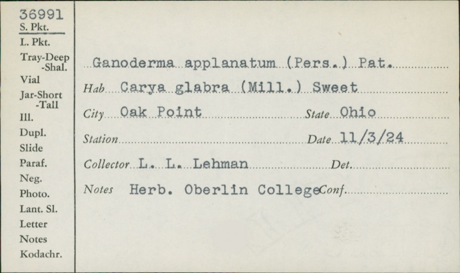
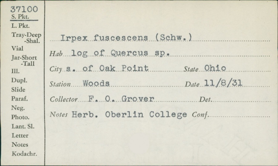
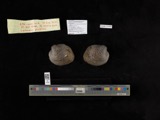
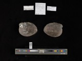
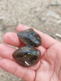
evidence. Museums hold 282 specimens
collected within 10 miles of Kindleberger, Frederick, Stone House and Barn between 1901 and
1975: 274 Animalia, 5 Plantae, 3 Fungi. 12 distinct Species records are shown.
Collected by Bartholomew, E.A., Buker, W.E., David M. Dennis and others. Each is a
physical object with a catalogue
number, and each entry opens the museum's record. This is what was
collected and kept, not a survey of what lives here - nothing can be
concluded from a species being absent.
Regional context, not property-specific
evidence. The National Weather Service names
Clarington, the town this property stands in, in 8 storm reports between 1999 and 2022: 6 thunderstorm wind, 2 flash flood.
No death or injury is recorded in these reports. Each account below is quoted exactly as the forecast office
filed it, from the NOAA Storm Events Database, and each date
opens the federal record of that event.
No historic map-sheet match is published
for this property yet. That does not mean no map exists. This record needs
a coordinate-quality review before it can be joined to a sheet boundary.
Browse the county's mapped places while that work is
pending.
From the nomination file
1,504 words on record
When this property was proposed for the
National Register, someone wrote the case for it: what the building is,
and why it matters. That document is a federal record in the public domain.
It is quoted below word for word, never summarised. The text was read off the scanned case file by machine, so the
occasional stray character is the recogniser's and the 1970s
typewriter's.
Description of the property
originally open porches; the rear inset has been enclosed, leaving only the west wall. To serve this porch, a door has been cut in the void which originally houses a window, opening into the kitchen. Most windows are the roof was remodeled. At the time of construction, the Kindleberger House The Kindleberger Barn stands approximately 200' south of the home, midway It is built entirely of stone which is laid dry, with the stones deeply rus- with a shed roof addition of wood frame construction built on the bank, against outbuildings serve as grainaries, a garage (beside the house), a milk house, various storage sheds, and a machine shed.
They are strictly agricultural CONDITION DETERIORATED UNALTERED FAIR cyma reversa pattern highlights the upper portion of this front porch and farmstead, no one building posesses any great architectural character of its own.
CHECK ONE front inset to serve as a porch of sorts.A valance-like board trimmed in a the north wall of the barn.There is no forebay.A concrete block addition appears to be original to the house.The main door is located in the front ashlar sandstone.It is an H-shaped building,42'x32'in dimention with The Kindleberger Stone House is a 1-story structure built of smooth-dressed inset.Originally no open porches were appended to the house;however a 1- the farm is dotted with more than a dozen small outbuildings of concrete block they are noted on the enclosed turn-of-the-century photo.The most radical of gable ends and the extention of the monitor. was capped with a hip roof with a glazed monitor:This roof was altered -UNEXPOSED in the basement are 6/6 lights.
These are probably the original sash, as was built at the southwest corner.
/ARCHITECT Frederick Kindleberger, builder STATEMENT OF SIGNIFICANCE of this era were built of wood frame construction or perhaps of brick, and are exclusively of wood frame construction, with the exception of a few log barns to this rule, and as such has been recognized as pivotal property in the Atlas of Monroe County, Ohio notes these structures as "stone" on his township county atlas, by 1898 he controlled over 200 acres in eastern Switzerland Township. Primarily, however, Kindleberger and his descendants were farmers. Fred Kindleberger's son, William, purchased the property from his father in 1905. William (1865-1945) became one of the best-known farmers in the area, and was the Kindleberger farm before the turn of the century, long before and govern- family to this date.
James Caldwell, who was one of the original directors of the local soil conservation board, married Mary, the daughter of William Kindleberger. 1700-1799 1400-1499 1600-1699 ART ARCHEOLOGY-HISTORIC COMMUNICATIONS THEATER ECONOMICS ENGINEERING 1900- PERIOD RELIGION SIGNIFICANCE EXPLORATION/SETTLEMENT EDUCATION PREHISTORIC SCULPTURE ARCHITECTURE TRANSPORTATION LITERATURE XAGRICULTURE INDUSTRY PHILOSOPHY. are simply no agricultural structures in the area which compare to the Kindleberger _CONSERVATION _POLITICS/GOVERNMENT The Kindleberger Stone House and Stone Barn are nominated for their architectural ment conservation policy had been formulated.The property remains in the Their granddaughter and her family continue to farm the old homestead.
significance to the heritage of Monroe County and southeastern Ohio.There the collosal stone barn below his dwelling house.Kindleberger was involved to a generation immigrant from Bavaria.Little is known about Kindleberger himself, Apparently he was successful in his agricultural ventures, for in 1883 he erected -MILITARY _SOCIAL/HUMANITARIAN The house was built in 1873 by Frederick Kindleberger (1835-1911),a second- -COMMERCE -MUSIC -LAW Generally, farmhouses limited degree in county politics, having served as a township tax collector.
Quoted from the National Register nomination
for reference 80003163, 9 pages, held by the National Archives in Record
Group 79. See the
catalogue record.
Listing record. National Park Service National Register of Historic Places, listed-properties dataset, current to 2026-05-22.
Map join. Address geocoded through the United States Census geocoder, then tested against the published boundary of every sheet in the USGS Historical Topographic Map Collection.
How this page is made. Listing fields come from federal records; map-sheet coverage is a labelled coordinate-to-boundary calculation, not a source-field claim.
Wildfire. Short, Karen C. 2022. Spatial wildfire occurrence data for the United States, 1992-2020 [FPA_FOD_20221014]. 6th Edition. Fort Collins, CO: Forest Service Research Data Archive. https://doi.org/10.2737/RDS-2013-0009.6 Collected with United States Government funding and usable without additional permissions or fees.
Specimens. Global Biodiversity Information Facility (GBIF), https://www.gbif.org/. Only records licensed CC0 or CC BY are used. Records licensed CC BY-NC are excluded because this site carries advertising. Images are checked individually and any whose licence is non-commercial, no-derivatives or unreadable is refused.
Storms. NOAA National Centers for Environmental Information, Storm Events Database https://www.ncei.noaa.gov/stormevents/ A work of the United States government, no copyright under 17 U.S.C. 105. Narratives are quoted verbatim from the National Weather Service report and are not edited or summarised.
 Block
Block