104 topographic sheets and 8 fire insurance
atlases across 1 place.
Research this county
This curated hub for Monroe County, Ohio brings together the page's documented record links, visible map or image evidence where published, and routes to related local records.
Use the page's provenance and linked records to distinguish the source material from the site's navigation and summaries.
How should I cite it?
Open the original record, preserve its repository and identifier, then use the citation tool for this page as a path back to the source.
Where should I go next?
Follow the county or state hub for related places and records, then use the guide for a source-aware research sequence.
From the record
9 National Register listings · 24 businesses named in the fire insurance atlases from 1905 to 1949 · the 1861 county history tells 0 stories and names 0 people.
Ohio within the United StatesMonroe County within Ohio
Explore by year
What the record shows
1 place in this county was surveyed for fire insurance: Woodsfield, between 1886 and 1949.
8 fire insurance atlas(es) survive for the county. Topographic coverage is national; fire insurance survey reached only incorporated places with something worth insuring.
1,206 topographic sheet readings cover the county's settlements.
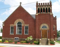
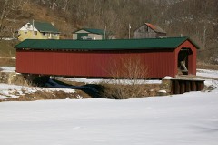
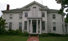
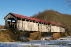
9 properties here are on the National Register of Historic Places, including 1 covered bridge, 4 houses and farms.
1 of the 9 listings were added during the 1970s.
The Geographic Names Information System records 76 populated places in this county; 0 are covered by at least one topographic sheet.
1 public-domain county history, 1902, supply 22,766 words of narrative reproduced here in full.
Photographs
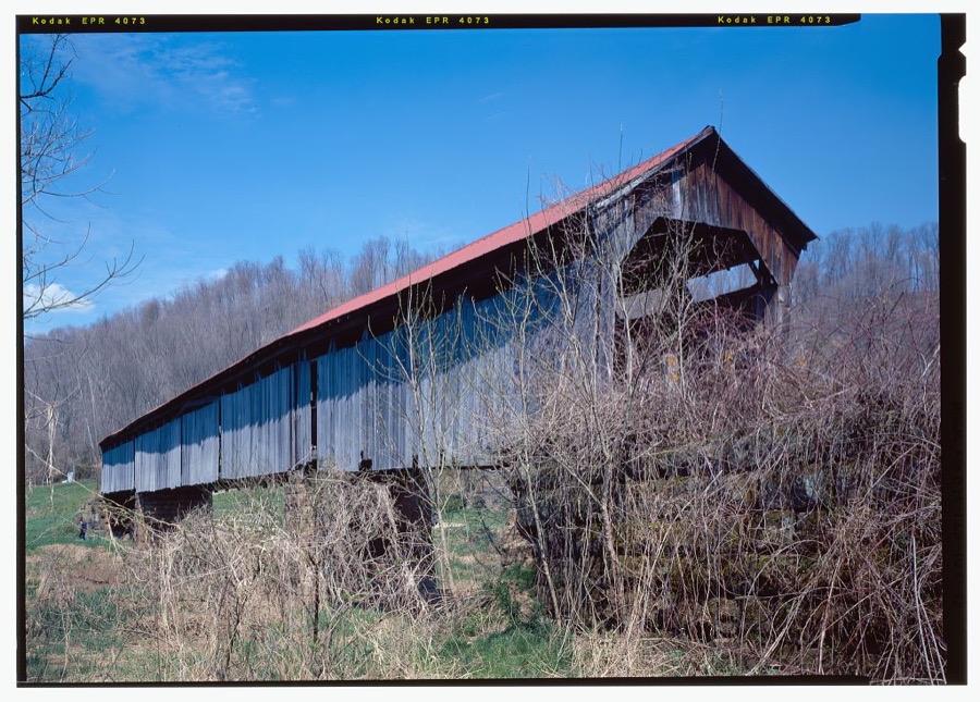
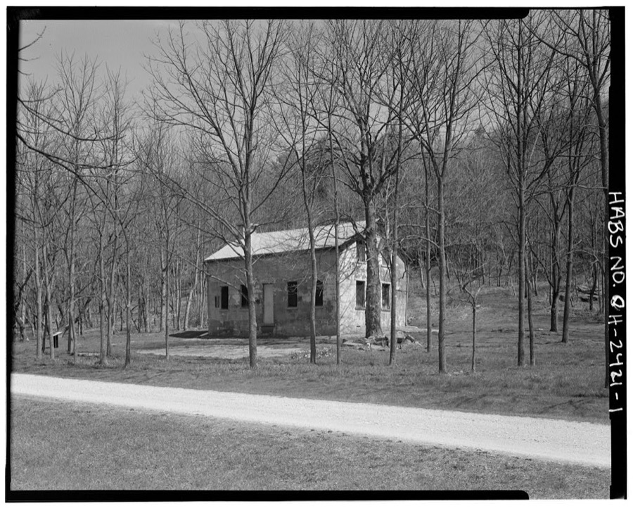
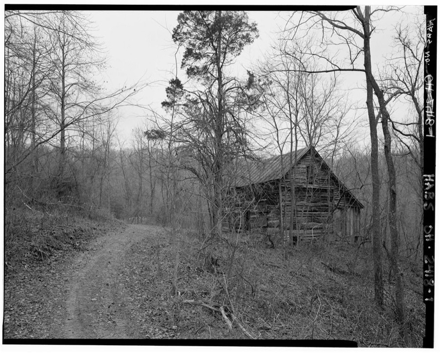
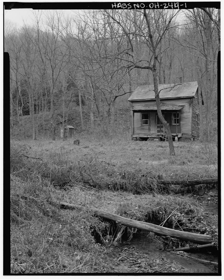
5 photographs,
Taken for the Office of War Information and
the Farm Security Administration, who photographed the country between
1935 and 1944. Works of United States government photographers, with no
known restriction on use. Each opens its catalogue record.
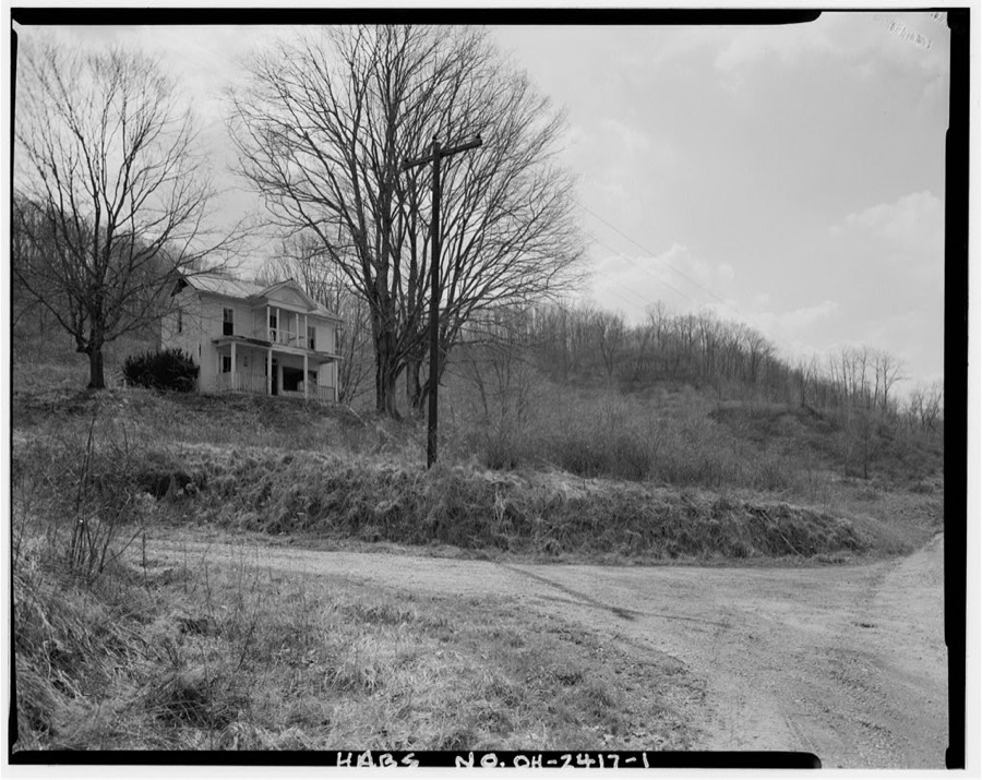
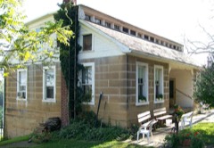
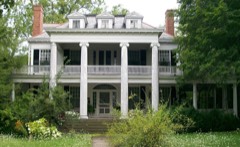
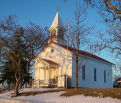
Crum Bridge, Spanning Little Muskingum River, TR 384A (formerly Old Camp Road), Rinard Mills, Monroe County, OH Unattributed, . Library of CongressWalter Ring House, North side of Township Road 575 at Little Muskingum River, Rinard Mills, Monroe County, OH Unattributed, . Library of CongressWilliam McFadden House, .5 mile west of State Highway 260, Sycamore Valley, Monroe County, OH Unattributed, . Library of CongressJacob Fieber House, County Road 17, Lewisville, Monroe County, OH Unattributed, . Library of CongressNathaniel Cline House, South side of County Road 68, Cline, Monroe County, OH Unattributed, . Library of Congress
Places on the National Register
9
Every property in this county listed on the
National Register of Historic Places, with the year it was listed and the
federal nomination document.
Monroe County holds 1 covered bridges on
the National Register, more than any other property type here. Each is a listed
structure with a federal nomination on file.
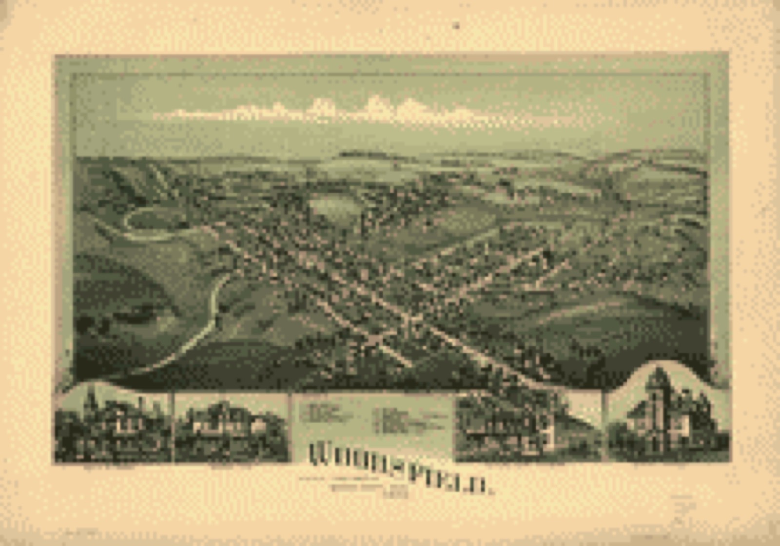
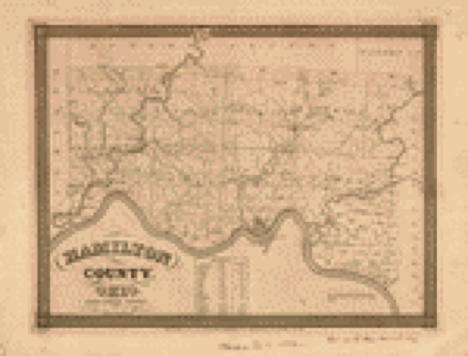
Drawn when these were printed as
single large sheets: the town seen from the air, and the county
divided into its farms with every owner named. Each opens the
original at the Library of Congress.
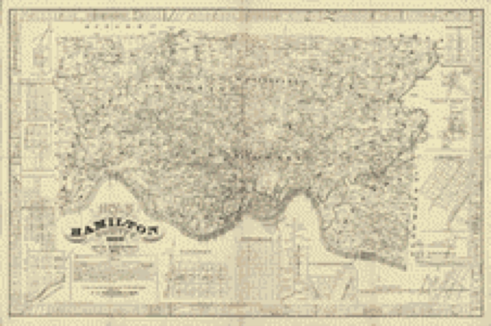
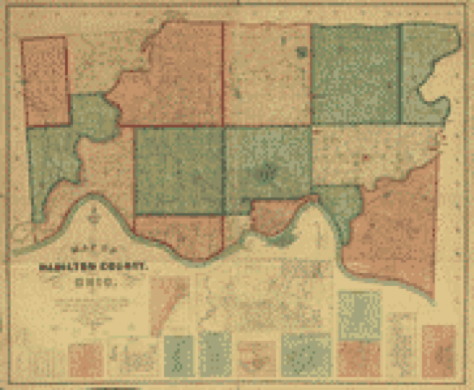
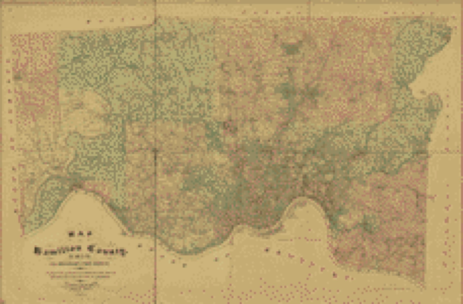
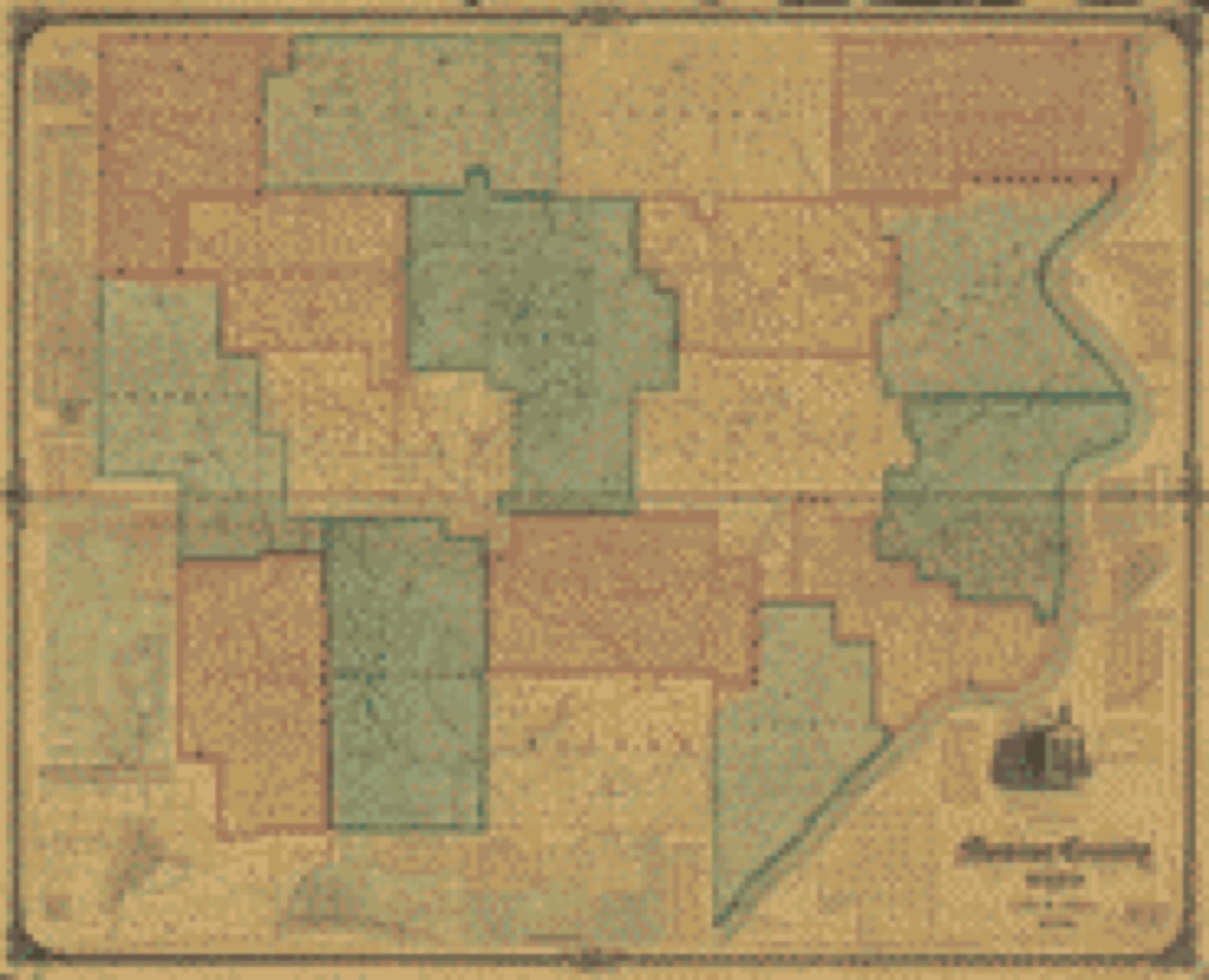
Bird's-eye view (1899) - Woodsfield, Monroe County, Ohio, 1899. Library of Congress.Land ownership map (1835) - Hamilton County, Ohio : from actual survey. Library of Congress.Land ownership map (1847) - Map of Hamilton County, Ohio. Library of Congress.Land ownership map (1856) - Map of Hamilton County, Ohio : exhibiting the various divisions and sub divisions of land with the name of the owners & number of acres in each tract together with the roads, canals, streams, towns &c. throughout the county. Library of Congress.Land ownership map (1884) - Map of Hamilton County, Ohio / by Geo. Moessinger & Fred Bertsch ; compiled and executed from official records surveys and conveyances up to the date of completion. Library of Congress.Land ownership map (1869) - Map of Monroe County, Ohio. Library of Congress.
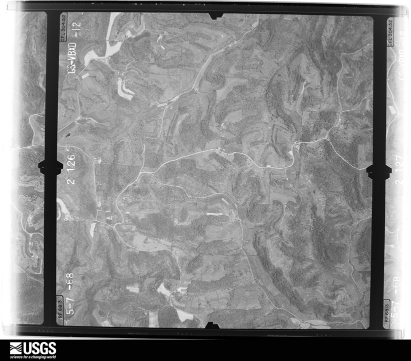
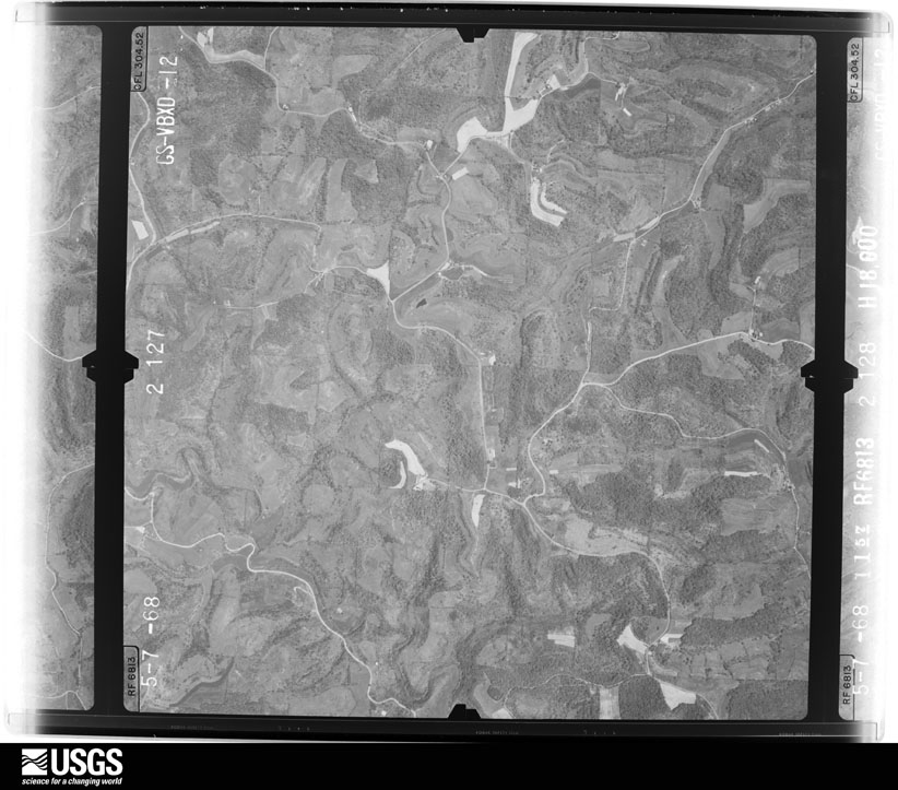
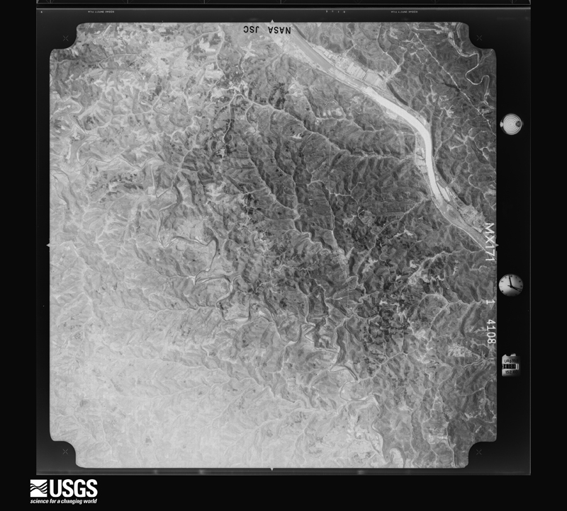
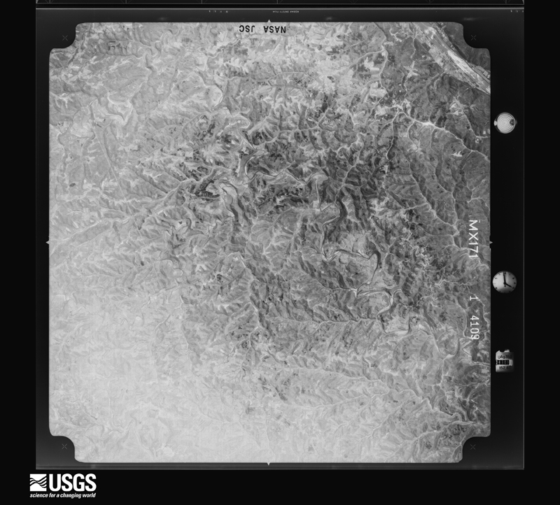
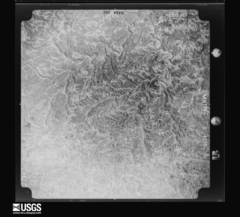
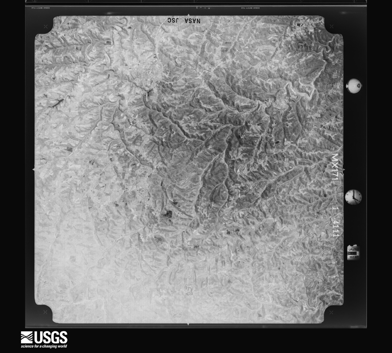
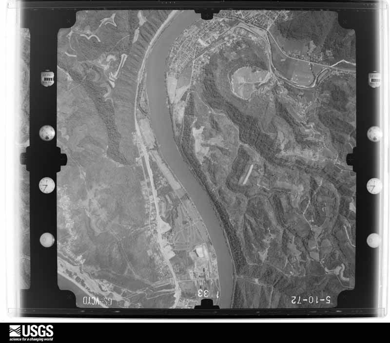
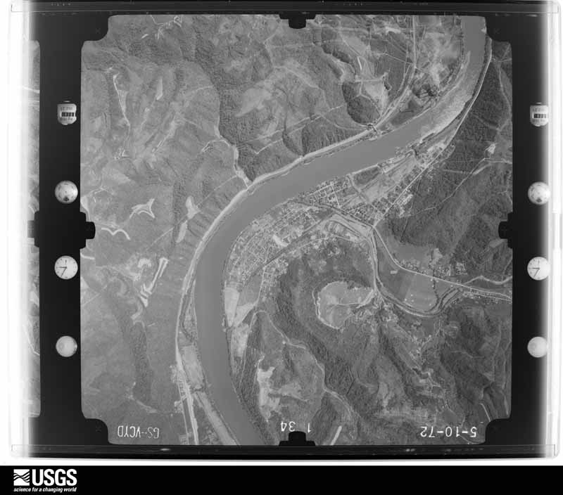
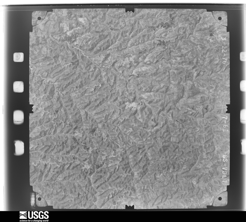
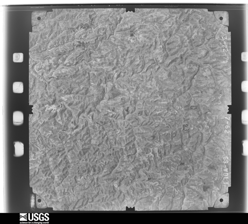
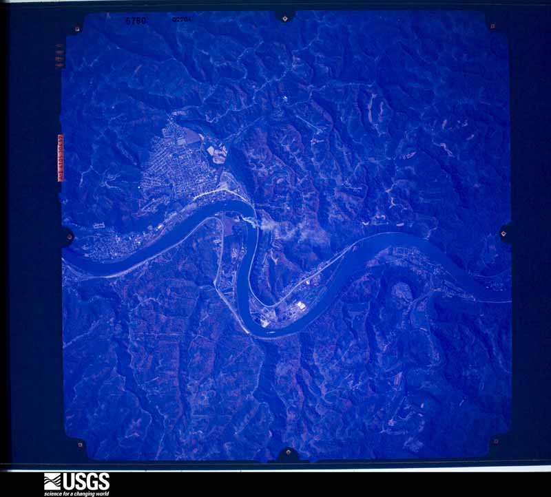
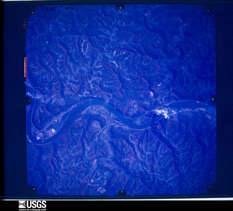
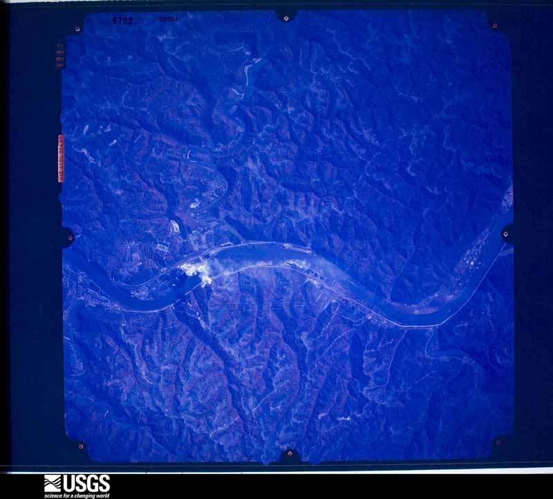
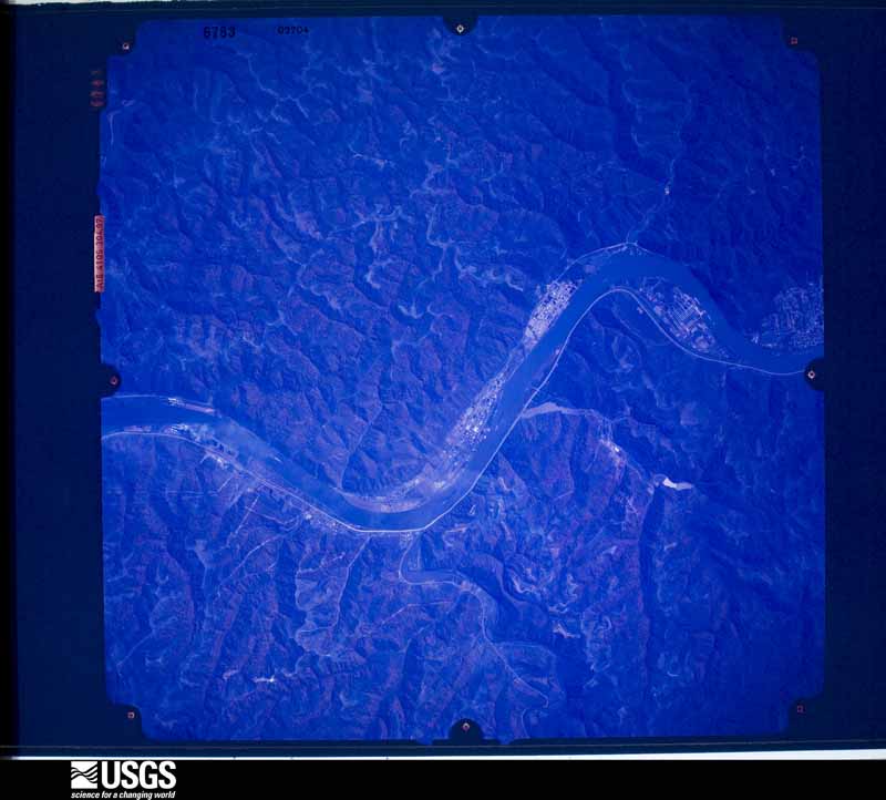
The county from the air
34 of 638 shown
Flown by the U.S. Geological Survey
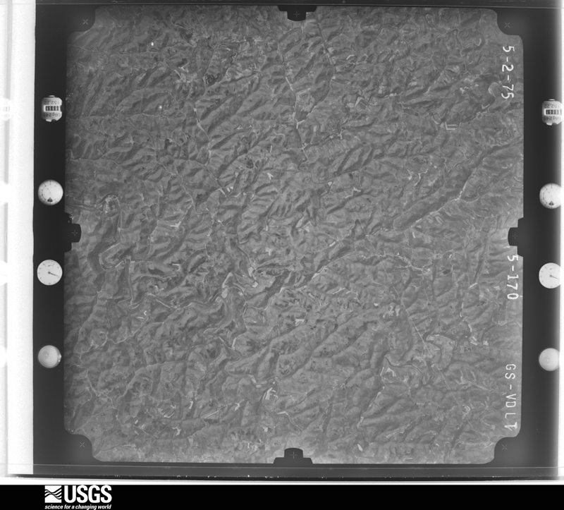
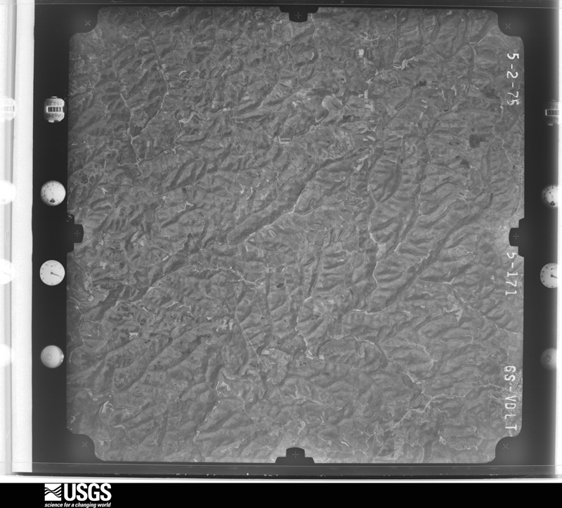
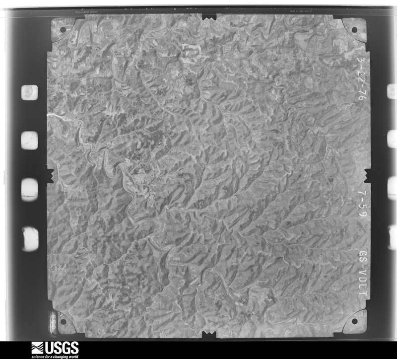
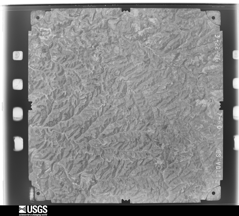
between 1937 and 1989, the Aerial Photo Single Frames collection is
the definitive mid-century view of the land: fields, roads and rivers
as the camera saw them. 638 frames touch this county; the
selection below spreads across the decades of flights (at most four
per year), so one flight cannot crowd out the rest. The full set is
free to browse and download at
EarthExplorer under the dataset Aerial Photo Single
Frames.
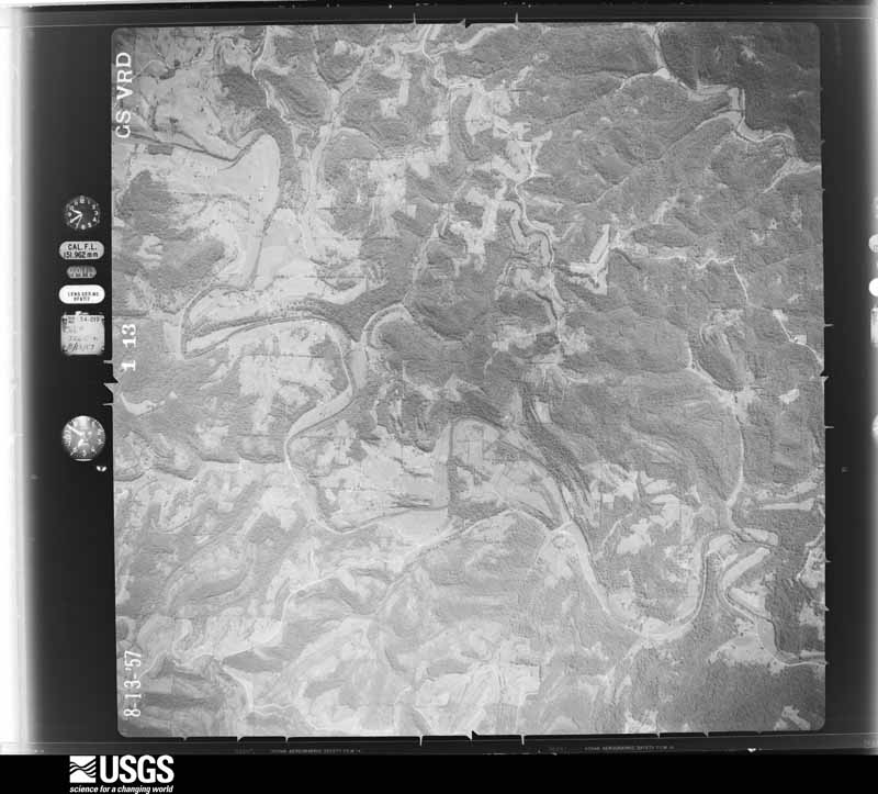
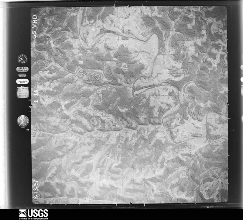
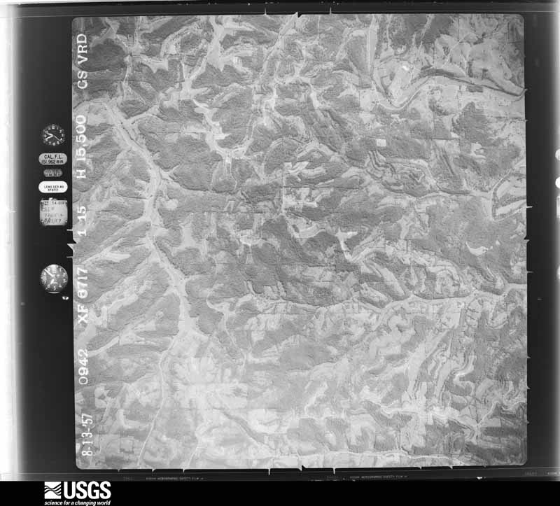
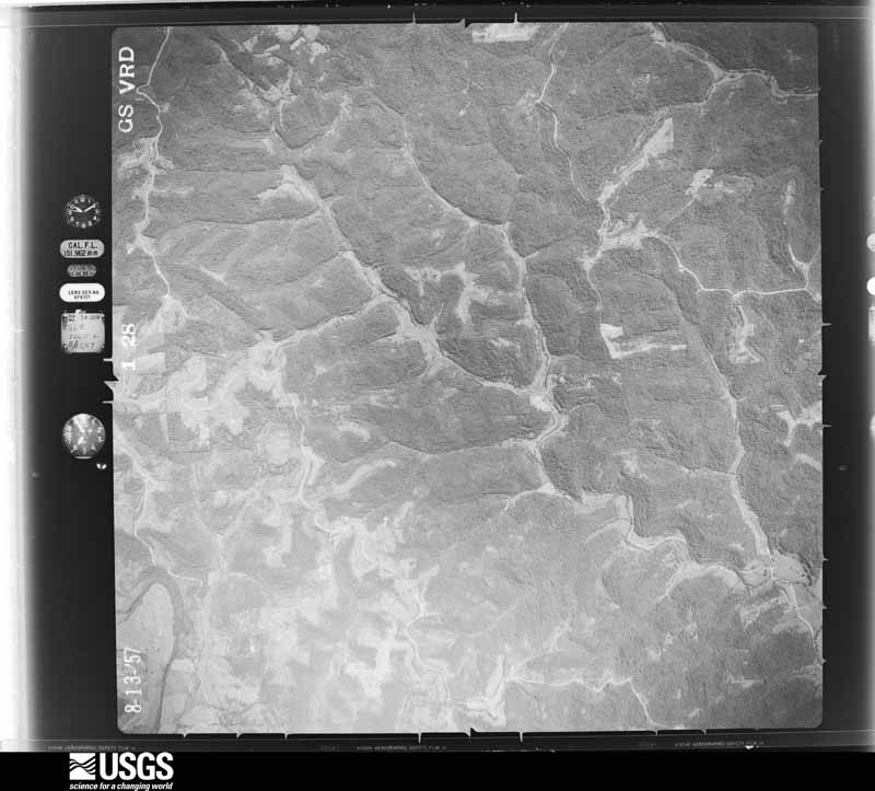
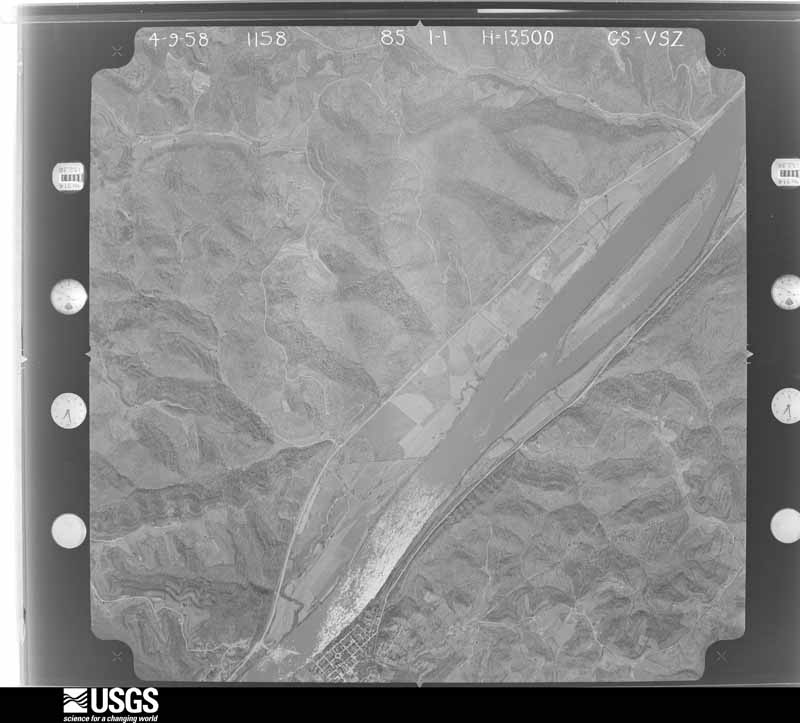
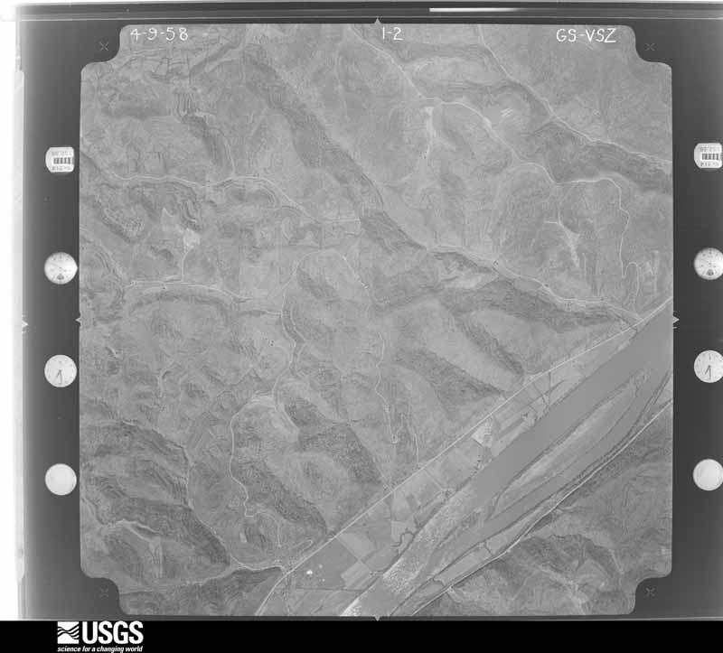
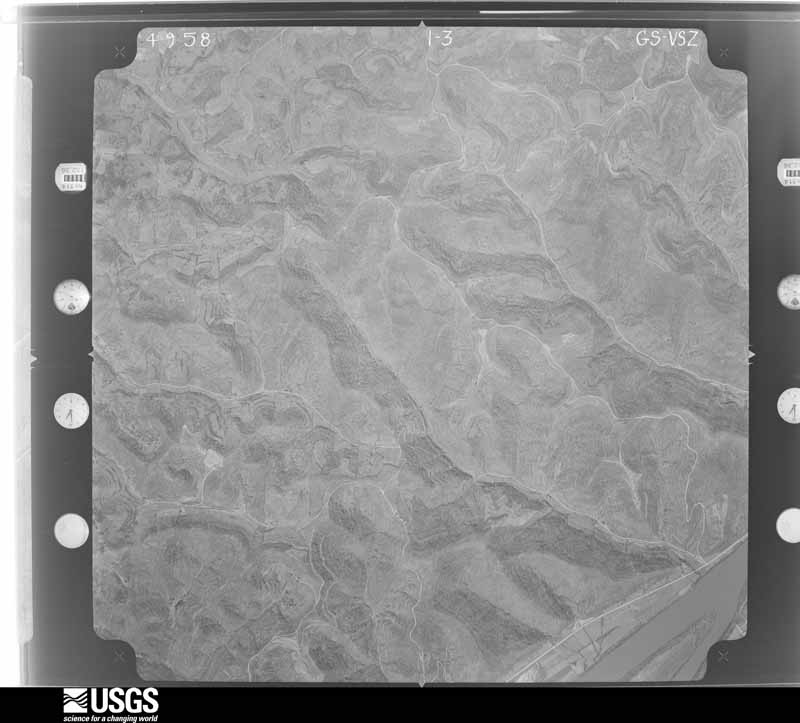
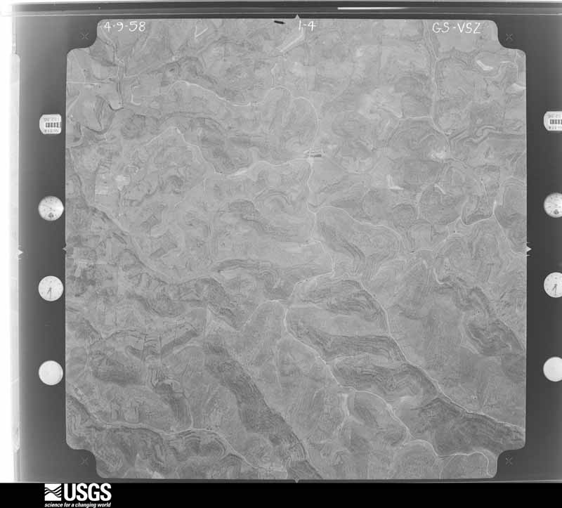
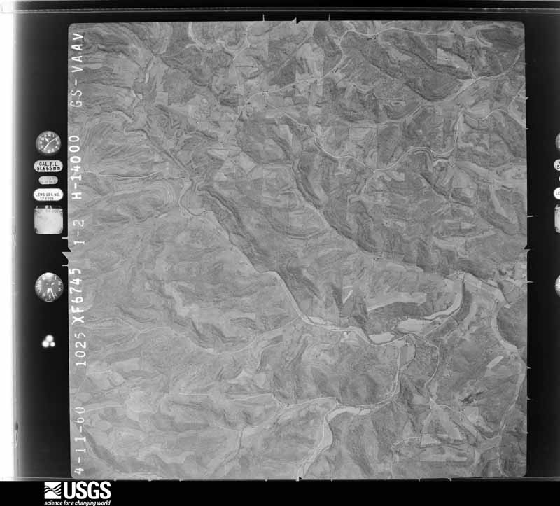
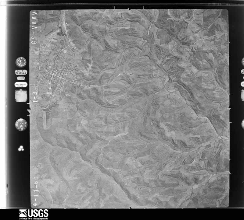
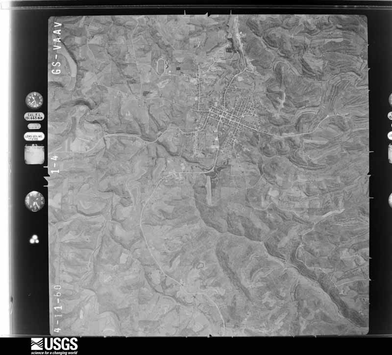
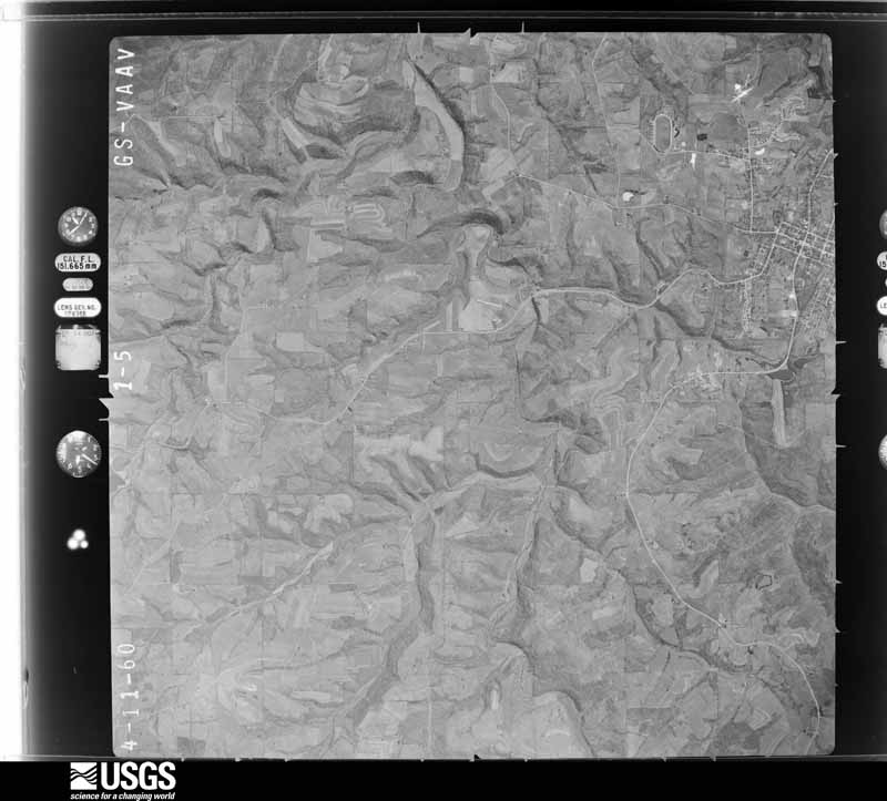
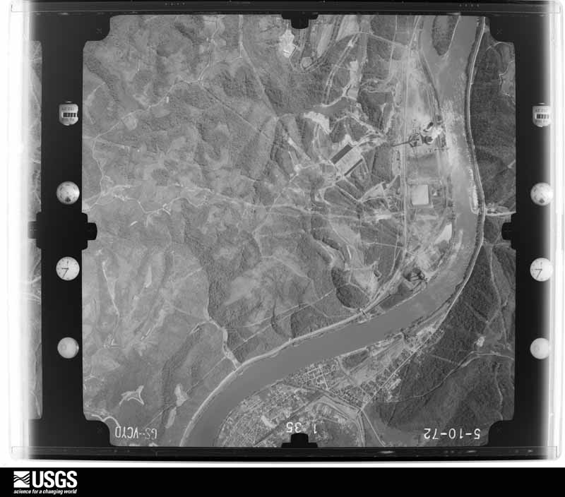
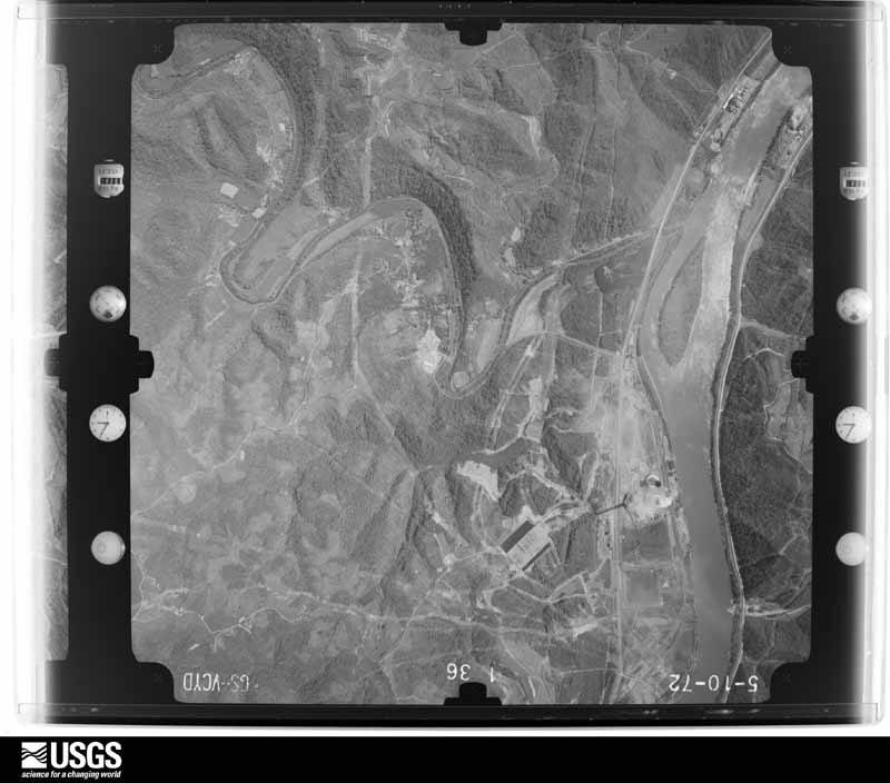
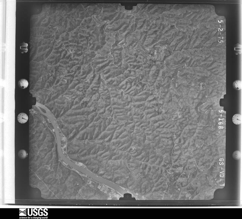
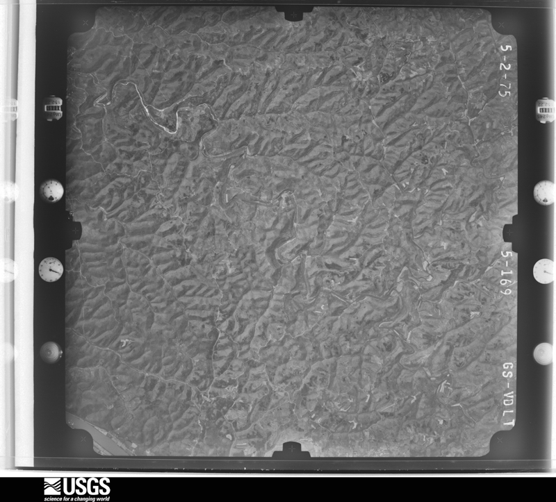
1957-09-01, scale 1:31000. U.S. Geological Survey aerial photograph.1957-09-01, scale 1:31000. U.S. Geological Survey aerial photograph.1957-09-01, scale 1:31000. U.S. Geological Survey aerial photograph.1957-09-01, scale 1:31000. U.S. Geological Survey aerial photograph.1958-04-09, scale 1:27000. U.S. Geological Survey aerial photograph.1958-04-09, scale 1:27000. U.S. Geological Survey aerial photograph.1958-04-09, scale 1:27000. U.S. Geological Survey aerial photograph.1958-04-09, scale 1:27000. U.S. Geological Survey aerial photograph.1960-04-22, scale 1:28000. U.S. Geological Survey aerial photograph.1960-04-22, scale 1:28000. U.S. Geological Survey aerial photograph.1960-04-22, scale 1:28000. U.S. Geological Survey aerial photograph.1960-04-22, scale 1:28000. U.S. Geological Survey aerial photograph.1968-05-07, scale 1:18000. U.S. Geological Survey aerial photograph.1968-05-07, scale 1:18000. U.S. Geological Survey aerial photograph.1971-04-16, scale 1:98657. U.S. Geological Survey aerial photograph.1971-04-16, scale 1:98657. U.S. Geological Survey aerial photograph.1971-04-16, scale 1:98657. U.S. Geological Survey aerial photograph.1971-04-16, scale 1:98201. U.S. Geological Survey aerial photograph.1972-05-11, scale 1:24000. U.S. Geological Survey aerial photograph.1972-05-11, scale 1:24000. U.S. Geological Survey aerial photograph.1972-05-11, scale 1:24000. U.S. Geological Survey aerial photograph.1972-05-11, scale 1:24000. U.S. Geological Survey aerial photograph.1975-05-02, scale 1:78000. U.S. Geological Survey aerial photograph.1975-05-02, scale 1:78000. U.S. Geological Survey aerial photograph.1975-05-02, scale 1:78000. U.S. Geological Survey aerial photograph.1975-05-02, scale 1:78000. U.S. Geological Survey aerial photograph.1976-03-22, scale 1:78000. U.S. Geological Survey aerial photograph.1976-03-22, scale 1:78000. U.S. Geological Survey aerial photograph.1976-03-22, scale 1:78000. U.S. Geological Survey aerial photograph.1976-03-22, scale 1:78000. U.S. Geological Survey aerial photograph.1978-10-29, scale 1:65000. U.S. Geological Survey aerial photograph.1978-10-29, scale 1:65000. U.S. Geological Survey aerial photograph.1978-10-29, scale 1:66333. U.S. Geological Survey aerial photograph.1978-10-29, scale 1:66333. U.S. Geological Survey aerial photograph.
City directories
5 volumes
The "who lived here, by year" answer:
pre-1929 public-domain directory volumes naming the county's people,
machine-read and searchable as text.
The thermometers that kept this
county's weather, and the gages that watched its rivers, as the
federal records hold them. The extremes below are measured values
from those records, not estimates.
Who lived here in 1950, one enumeration
district at a time, as the Census Bureau described each district.
Each row opens its official National Archives result, with Population
Schedules and ED Maps available there.
56-13Jackson township: Jackson township - That part north of Dog Skin Run and Barnes Run
56-14Jackson township - That part south of Dog Skin Run and Barnes Run
56-15Lee township: Lee township - That part east of the section line from the northeast corner of Section 11, Township 1, Range 4 to the southeast corner of Section 8, Township 1, Range 4
56-16Lee township - That part west of the section line from the northeast corner of Section 11, Township 1, Range 4 to the southeast corner of Section 8, Township 1, Range 4
56-17Jerusalem village, comprising parts of Malaga and Sunsbury townships: Jerusalem village - That part in Malaga township
56-18Jerusalem village - That part in Sunsbury township
56-19Malaga township, outside Jerusalem village: Miltonsburg village
56-20Malaga township - That part outside Jerusalem and Miltonsburg villages (Remainder of Malaga township is in Jerusalem village)
56-21Ohio township: Ohio township - That part northeast of State Hwy. 536
56-22Ohio township - That part southwest of State Hwy. 536
Every Sanborn volume opens with a printed index
naming the town's mills, tanneries, hotels and works by proprietor. Those
indexes were read off the scanned sheets by machine and then matched to each
other, so a business surveyed four times appears here once, with the years it
survived. 7 of these 24 were named in more than one atlas. Each carries a
crop of the line it was read from: the spelling is the recogniser's and the
1880s lithographer's, and the scan behind it is the proof.
Every wildfire the federal occurrence
database records inside this county: 97 of them, burning about
199 acres. 2 started naturally and 4 were
recorded as arson. Each settlement page carries the fires within five
miles of it.
Reported cause
Fires
Debris and open burning
44
Missing data/not specified/undetermined
13
Power generation/transmission/distribution
13
Equipment and vehicle use
9
Misuse of fire by a minor
5
Arson/incendiarism
4
Smoking
4
Natural
2
Railroad operations and maintenance
1
Fireworks
1
Recreation and ceremony
1
The five largest, by the area the report
gives. One of them was set deliberately.
Date
Cause
Size
Reported by
Name on the report
18 November 2016
Debris and open burning
20 acres
Ohio Department of Natural Resources
6131
19 March 2011
Missing data/not specified/undetermined
10 acres
Ohio Department of Natural Resources
not named
31 March 2015
Power generation/transmission/distribution
7.0 acres
Wayne National Forest
OLD CAMP ROAD
1 December 2012
Debris and open burning
7.0 acres
Ohio Department of Natural Resources
not named
22 February 2012
Debris and open burning
7.0 acres
Ohio Department of Natural Resources
not named
26 November 2012
Missing data/not specified/undetermined
7.0 acres
Ohio Department of Natural Resources
not named
10 March 2018
Debris and open burning
6.0 acres
Ohio Department of Natural Resources
12506
30 December 1994
Arson/incendiarism
5.0 acres
West Virginia Division of Forestry
TEN MILE WOLFPEN
Every settlement page carries the fires within five
miles of it - see the settlement index below.
Storms, 1967 to
2026
60 of 227 shown
The
NOAA Storm Events Database holds
227 reports for this county, causing 2 deaths,
0 injuries and about $9,850,000 in recorded property damage.
Each settlement page carries the reports that name it.
Kind of event
Reports
Thunderstorm Wind
112
Flash Flood
48
Hail
41
Flood
19
Tornado
3
Heavy Rain
2
Lightning
1
Funnel Cloud
1
The most serious of them, by death, then
injury, then recorded damage. The accounts are quoted exactly as the
forecast office filed them.
A NWS Storm Survey confirmed an EF-2 tornado tracked roughly 4 miles from Miltonsburg to Ozark in Monroe County. The tornado was embedded within a wider swath of straight-line wind damage. Maximum wind gusts were near 120mph. There was widespread tree damage and many outbuildings were affected. The most significant damage was located off Minder Road where a house sustained major damage, which consisted of it being shifted off its foundation, windows blown out, and a complete collapse of the attached garage. There was one indirect injury during cleanup efforts.
Department of highways reported that state route 26 was closed in both directions about 2 miles north of the Washington and Monroe county line due to high water.
Local emergency management reported numerous trees uprooted and sheared off in a path from just off route 145 in Miltonsburg to route 800 from a downburst. Width was approximately 200 yards.
Rainfall, falling on top of 4 to 6 inches of new snow, produced rapid rises in creeks and streams across Monroe county. Portions of State Route 78 near the town of Ethel in extreme western Monroe County were closed by high water. Localized flooding was also reported in the extreme southern part of the county on County Road 68 near Rinard Mills along the Little Muskingum Creek.
The Survey's mineral resources record
lists 11 workings inside this county. 5 still
produce and 6 are closed or unrecorded. Each settlement
page carries the workings within five miles of it.
Commodity
Workings
Limestone, General
3
Sand and Gravel, Construction
3
Stone, Crushed/Broken
3
Aluminum, Contained or Metal
1
Gemstone
1
The least common of them first, because a
county's hundredth gravel pit says nothing its first ten did not.
Museum specimens collected inside this
county and catalogued with a date and a place: 778 of them, by
kingdom 736 animalia, 26 plantae, 14 fungi, 1 chromista, 1 unrecorded. Each is a physical object in a named collection, not a
sighting. Held by USNM, Ohio State University - Fish Division, Columbus, OH (OSUM), MIN, INHS, CUMV, CM among others, and each settlement page carries
the specimens collected near it.
The oldest of them. A specimen proves
something was collected on that day; its absence proves nothing.
Willow Island Pool, r. mi. 128.3, below mouth of Texas Cr.
unknown
CUMV 92895
The townships, in 1861
22,766 words
Inauguration of the Perry Statue : at Cleveland, on the Tenth of September, 1860; Including the Addresses and Other Proceedings, with a Sketch of William Walcutt the Sculptor devotes a chapter to each township:
its boundaries and streams, who settled it and when, the mills, the
schools and the churches. All 1 are reproduced here in full. Each row
shows the township's own shape and where it lies in the county, drawn from
the Census Bureau's boundary. Which settlements belong to which township
is computed from that same boundary, not taken from the book.
Named settlements recorded in the Geographic Names
Information System, each with the topographic sheets covering it. Villages,
hamlets and abandoned places alike. Each is shown with the watercourse or
landform it stands on and the survey quadrangle it falls on. The 1
places that were also surveyed for fire insurance come first, with the
number of atlases and photographs held for them.
The complete index, with nothing left out.
Each of these is a separate record with its own page: a federal survey
report, or the case file that argued a property on to the National
Register. Both are public domain and reproduced word for word.
Topographic sheets. USGS Historical Topographic Map Collection, county index, measured from the bulk metadata.
Fire insurance maps. Library of Congress Sanborn collection, faceted to this county.
Photographs. Each place queried individually against the Library of Congress Prints and Photographs search.
Wildfire. Short, Karen C. 2022. Spatial wildfire occurrence data for the United States, 1992-2020 [FPA_FOD_20221014]. 6th Edition. Fort Collins, CO: Forest Service Research Data Archive. https://doi.org/10.2737/RDS-2013-0009.6 Collected with United States Government funding and usable without additional permissions or fees.
Specimens. Global Biodiversity Information Facility (GBIF), https://www.gbif.org/. Only records licensed CC0 or CC BY are used. Records licensed CC BY-NC are excluded because this site carries advertising. Images are checked individually and any whose licence is non-commercial, no-derivatives or unreadable is refused.
Mines and quarries. USGS Mineral Resources Data System (MRDS) https://mrdata.usgs.gov/mrds/ A work of the United States government, no copyright under 17 U.S.C. 105.
Storms. NOAA National Centers for Environmental Information, Storm Events Database https://www.ncei.noaa.gov/stormevents/ A work of the United States government, no copyright under 17 U.S.C. 105. Narratives are quoted verbatim from the National Weather Service report and are not edited or summarised.
 Block
Block