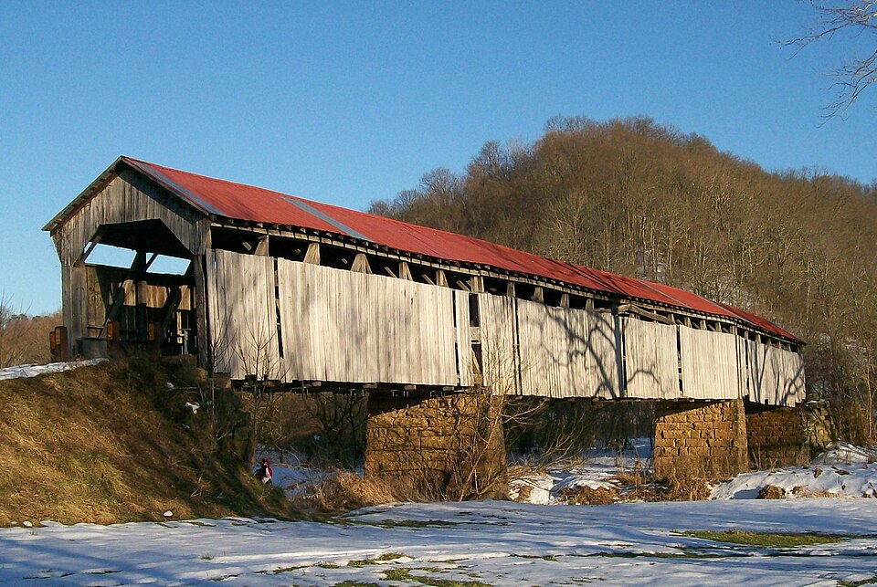
Built in 1887. Listed on the National Register of Historic Places in
1980. A historic map-sheet match is not published yet. The record needs a coordinate-quality review before it can be joined to a sheet boundary.
From the record
“The Knowlton Covered Bridge, near Rinard Mills, Ohio, was built around 1860. It was listed on the National Register of Historic Places in 1980.”
Wikipedia article Knowlton Covered Bridge, CC BY-SA 4.0.
one of 9 National Register listings in Monroe County · listed in 1980 · category: Structure · built in 1887.
National Register reference number.80003165- the number the National Park Service assigned this property when it was listed, and the key its nomination file is catalogued under at the National Archives.
Fires near this property
14 since 2013
Regional context, not property-specific
evidence. The
federal wildfire occurrence database
lists 14 fires within 5 miles of Knowlton Covered Bridge between
2013 and 2020, burning about 32 acres in total. None started naturally. None was recorded as arson.
Distance is straight-line from the map coordinates, so a fire counted
here may appear on a neighbouring settlement's page as well.
Reported cause
Fires
Debris and open burning
7
Power generation/transmission/distribution
4
Equipment and vehicle use
1
Recreation and ceremony
1
Missing data/not specified/undetermined
1
The most recent of
them, most recent first, with the day each was reported and the service
that recorded it.
Regional context, not property-specific
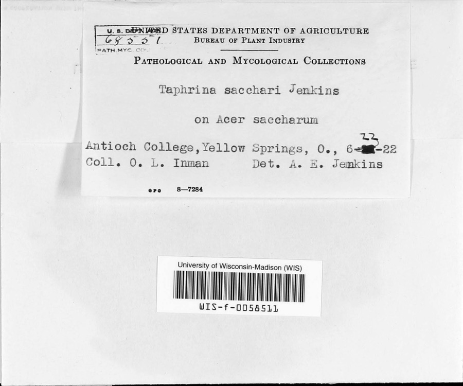
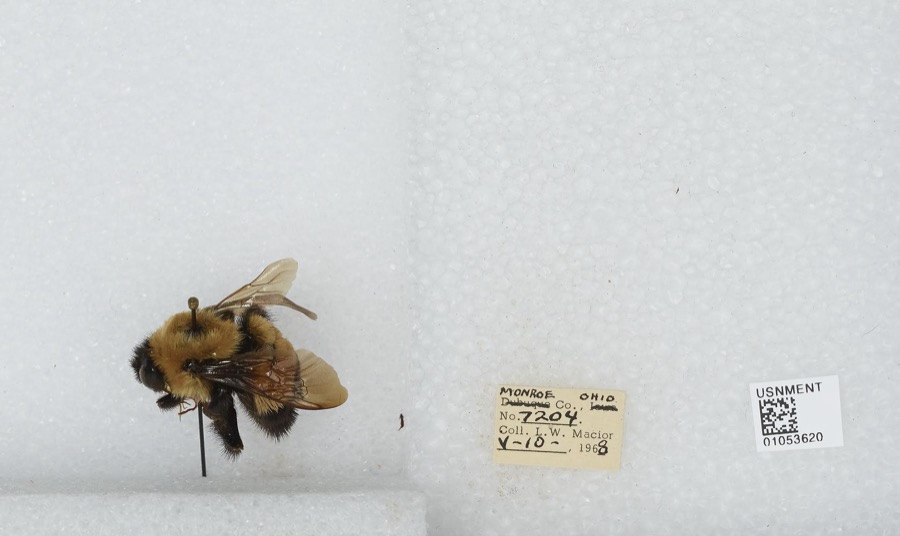
evidence. Museums hold 318 specimens
collected within 10 miles of Knowlton Covered Bridge between 1853 and
1975: 299 Animalia, 9 Fungi, 8 Plantae, 1 Chromista, 1 Unrecorded. 12 distinct Species records are shown.
Collected by Adler, K. K., Adler, K. K. & Walker, C. F. (Charles F.), Adler, K. K. & Wood, T. (Tilley) and others. Each is a
physical object with a catalogue
number, and each entry opens the museum's record. This is what was
collected and kept, not a survey of what lives here - nothing can be
concluded from a species being absent.
No historic map-sheet match is published
for this property yet. That does not mean no map exists. This record needs
a coordinate-quality review before it can be joined to a sheet boundary.
Browse the county's mapped places while that work is
pending.
From the nomination file
1,164 words on record
When this property was proposed for the
National Register, someone wrote the case for it: what the building is,
and why it matters. That document is a federal record in the public domain.
It is quoted below word for word, never summarised. The text was read off the scanned case file by machine, so the
occasional stray character is the recogniser's and the 1970s
typewriter's.
Description of the property
in length, 15' in overall width, with a 12'6" roadway width and 36' overall height. In 1938, Louis S. "Stock" Bower, covered bridge restorer, did extensive repairs stringers. Condition ruins deteriorated Some boards have been removed from the sides and the substructure is somewhat Township- post truss plan, on the banks supporting the bridge. The deck is of wood and the roof has been covered by the township park board and the Wayne National Forest. The bridge is built ina combination of the Burr arch truss and multiple king Check one to this bridge including the diagonal steel rods and additional floor beams and .unexposed stone. There is trestle type construction under the bridge of wooden beams and large logs.
date The Knowlton Covered Bridge is a three span wooden truss covered bridge spanning deteriorated at the western end of the bridge.The area surrounding the park is owned with metal.There is a two ton load limit on the bridge. Areas of Significance-Check and justify below - prehistoric - archeology-prehistoric _ community planning _ conservation _ science - sculpture . architecture _ social/ X 1800-1899 _theater _transportation - other (specify) Specific dates Reconstructed c. 1890 Builder/Architect Statement of
Statement of significance
/Architect Statement of Significance (in one paragraph) The Knowlton Covered Bridge is significant as one of this state's few well- The length of the bridge is unusual- it is one of the two longest covered bridges and patented in 1817, combined the arch and truss, each in itself a sound structural form, so the bridge type seems massive and redundant; however, the combination allows a long overall length.
The Knowlton Covered Bridge was, according to local sources, originally built 1700-1799 1600-1699 1500-1599 1400-1499 commerce economics philosophy archeology-historic communications engineering invention exploration/settlement art humanitarian Period industry music 1900- military politics/government agriculture literature education law reconstructed soon after in a configuration very similar to the original. 8.
Significance The Burr Arch was a very early truss design, invented by Theodore Burr, one of preserved examples ofa covered bridge using the highly distinctive Burr Arch around 1860 and was washed off its foundation in the 1ate 1880's bya flood.It was a very early form in bridge construction, - religion landscape architecture in Ohio.It is one of only two covered bridges which survive in Monroe County. Interview with members of Knowlton family June, 1979 Caldwel1, J.A. Atlas of Monroe Co., Ohio. Atlas Publishing Co., Mount Vernon, Ohio, 1898. p. 128 History of Monroe County, Ohio. H.H. Hardesty and Co., Publishers, Chic. and Toledo, 1882 10.
Quoted from the National Register nomination
for reference 80003165, 10 pages, held by the National Archives in Record
Group 79. See the
catalogue record.
Listed places nearby
1 within 8 miles
Other National Register properties close
enough to walk or drive between, ordered by distance from this one. Both
positions come from the same geocoding pass that matched these properties
to their map sheets.
Listing record. National Park Service National Register of Historic Places, listed-properties dataset, current to 2026-05-22.
Map join. Address geocoded through the United States Census geocoder, then tested against the published boundary of every sheet in the USGS Historical Topographic Map Collection.
How this page is made. Listing fields come from federal records; map-sheet coverage is a labelled coordinate-to-boundary calculation, not a source-field claim.
Wildfire. Short, Karen C. 2022. Spatial wildfire occurrence data for the United States, 1992-2020 [FPA_FOD_20221014]. 6th Edition. Fort Collins, CO: Forest Service Research Data Archive. https://doi.org/10.2737/RDS-2013-0009.6 Collected with United States Government funding and usable without additional permissions or fees.
Specimens. Global Biodiversity Information Facility (GBIF), https://www.gbif.org/. Only records licensed CC0 or CC BY are used. Records licensed CC BY-NC are excluded because this site carries advertising. Images are checked individually and any whose licence is non-commercial, no-derivatives or unreadable is refused.
 Block
Block