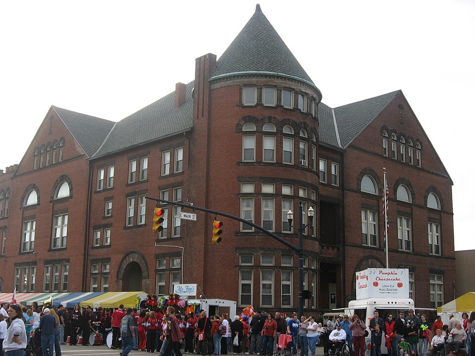
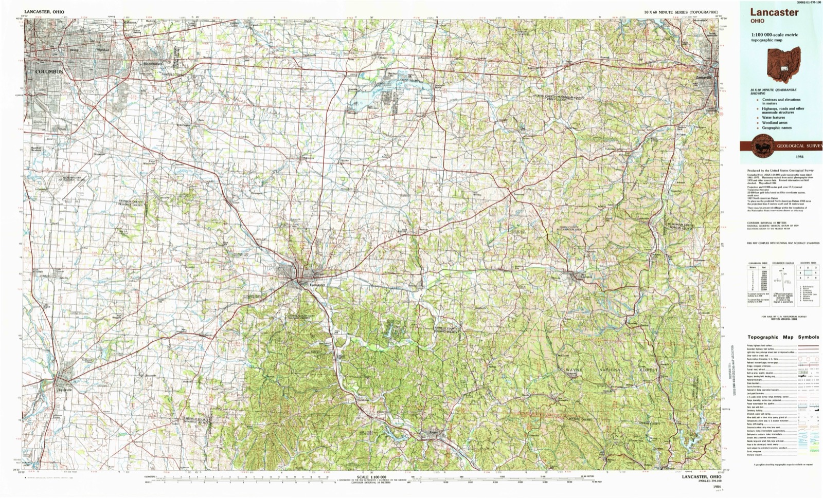
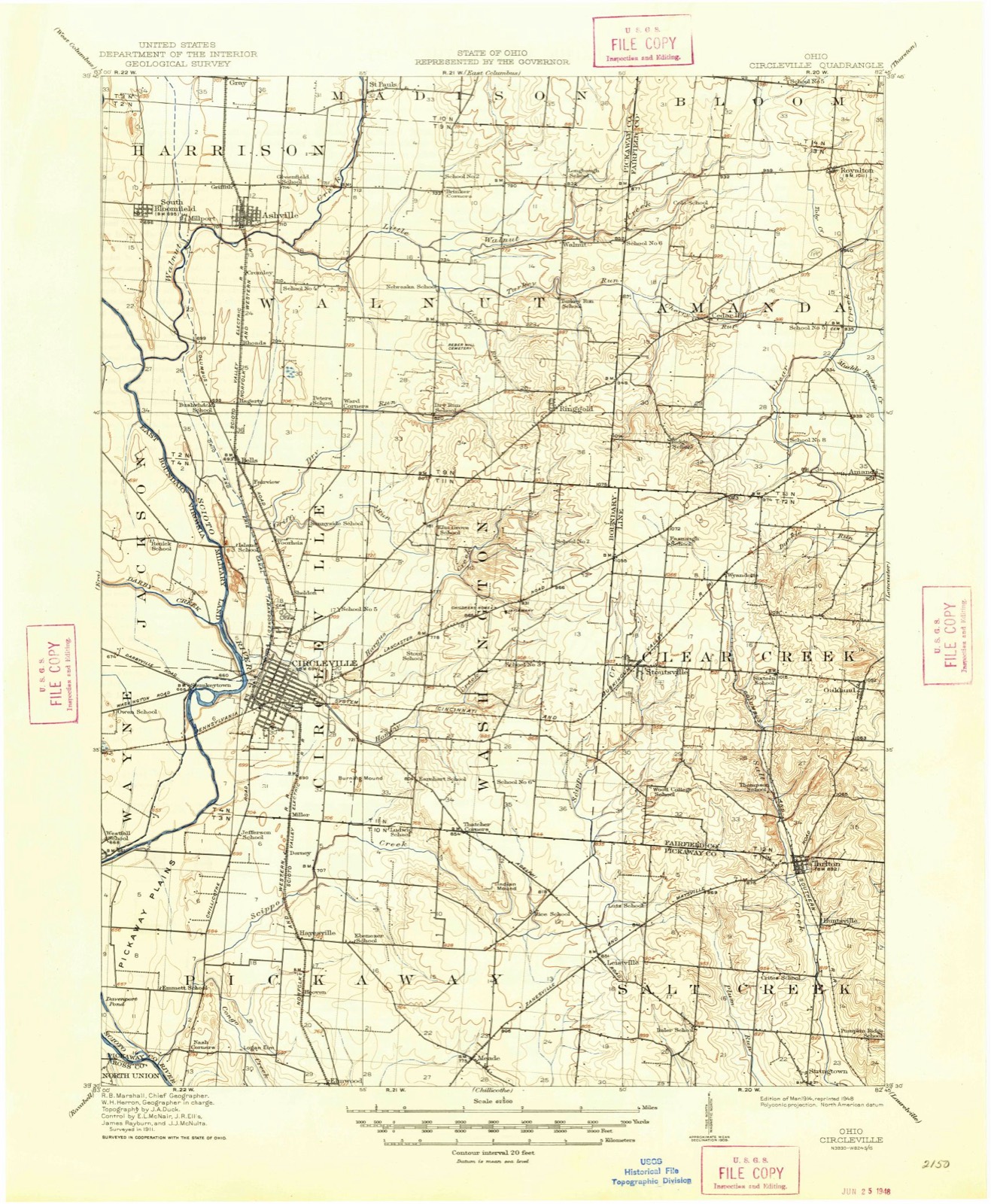
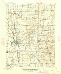
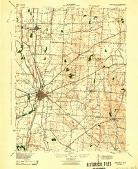
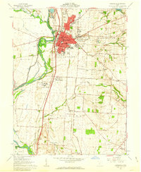
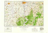
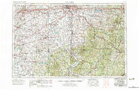
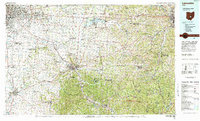
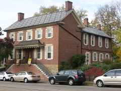
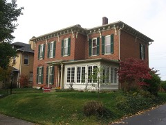
Built in 1891 (Richardsonian Romanesque). Listed on the National Register of Historic Places in 1980. 8 historic topographic surveys show this location, the earliest from 1914.
From the record
“Circleville Memorial Hall is a historic community center and war memorial in the city of Circleville, Ohio, United States. Built in the years after the Civil War to remember the victims of the war, it has been named a historic site.”
Wikipedia article Circleville Memorial Hall, CC BY-SA 4.0.
One of 28 National Register listings published here for Pickaway County · listed in 1980 · category: Building · built in 1891, Richardsonian Romanesque.
National Register reference number.80003211- the number the National Park Service assigned this property when it was listed, and the key its nomination file is catalogued under at the National Archives.
Then and now
1914 to 1984
The ground this property stands on, surveyed
70 years apart. Drag the handle to wipe between them. Both sheets are
United States Geological Survey originals; neither has been altered.
19141984
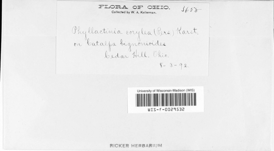
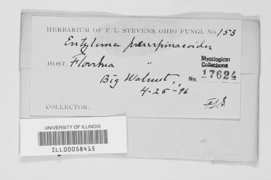
Specimens collected near this property
12 of 2,664 shown
Regional context, not property-specific
evidence. Museums hold 2,664 specimens
collected within 10 miles of Memorial Hall between 1829 and 1975: 2,565 Animalia, 82 Plantae, 15 Fungi, 1 Protozoa, 1 Unrecorded.
12 distinct Species records are shown.
Collected by A. Spreitzer, A. White, M. Trautman, T. Cavender, Acker, G. & Class and others. Each is a
physical object with a catalogue
number, and each entry opens the museum's record. This is what was
collected and kept, not a survey of what lives here - nothing can be
concluded from a species being absent.
Regional context, not property-specific
evidence. The federal mineral resources record lists
5 workings within 5 miles of Memorial Hall: 4 past producers, 1 producer.
1 still produces. What was taken out: Sand and Gravel, Construction. Distance is straight-line from the
map coordinates, so a quarry counted here may appear on a neighbouring
settlement's page as well.
Regional context, not property-specific
evidence. The National Weather Service names
Circleville, the town this property stands in, in 75 storm reports between 1994 and 2026: 29 thunderstorm wind, 21 hail, 14 flood, 7 flash flood.
The reports record 7 injuries. Each account below is quoted exactly as the forecast office
filed it, from the NOAA Storm Events Database, and each date
opens the federal record of that event.
A tornado touched down west of Circleville, pulling a small shed off of its foundation and destroying a section of a construction building. after this, the tornado lifted and then touched down in a more developed area in town. It destroyed a building housing two businesses and ripped the roof off of a section of a strip mall, ejecting furniture from inside the structure. A large sign weighing several hundred pounds was ripped from its foundation and blown twenty feet away. A tractor trailer with a load of 18 to 19 tons was blown over and dragged ten feet away from where it landed. The tornado then proceeded to a housing development where several homes were destroyed, several roofs ripped off, and garages either destroyed or moved from their foundations. Trees were twisted and broken off at their bases and carports were also torn from nearby houses.
A tornado touched down along State Route 361, causing damage to three buildings at the Pickaway Machine and Fabricating Company. Portions of the aluminum roofing and insulation were removed from these three buildings, and deposited throughout the complex and in a cornfield across Route 361. Corn stalks at six to eight feet in height were knocked over in a 150 foot wide swath across this cornfield, extending for a mile to the northeast to Boggs Road. Across Boggs Road, minor tree and limb damage occurred, with part of an open air aluminum shed being blown into a nearby tree line.
A small tornado moved across the south side of Circleville producing minor structural and roof damage to a few buildings, and some damage to nine cars at a dealership. Numerous trees and power lines were also knocked down.
United States Geological Survey topographic
sheets whose coverage includes this point. Matched by taking the coordinate the National Park Service records for this property, then
testing that coordinate against the published boundary of every sheet.
When this property was proposed for the
National Register, someone wrote the case for it: what the building is,
and why it matters. That document is a federal record in the public domain.
It is quoted below word for word, never summarised. The text was read off the scanned case file by machine, so the
occasional stray character is the recogniser's and the 1970s
typewriter's.
Description of the property
Memorial Hall, an excellent example of Richardsonian Romanesque architecure, was The facade faces Main Street. The double entrance, with transoms, is placed round arched ribbon windows. ruins Condition unexposed deteriorated fair "Memorial rectangular windows with stone lintels, semi-circular with stone voussoirs and semi-circular windows with stone voussoirs.Round arched ribbon windows are bay of the facade.It features ribbon windows with stone lintels on the first and the facade are paired with stone lintels and sills.The third floor features behind the tower. Much of the original interior woodwork remains as does the pressed tin ceiling fringe of the central business district.
second levels and stone arches on the third.A balcony with paired columns is located on the fourth level.A first and second floor recessed porch is Check one windows on this elevation.are similar.to those on.the facade and include paired an entrance recessed within a stone arch although it is less elaborate than the located in the gable.A chimney with corbelled brickwork is situated directly within a recess framed by a stone arch supported by 8 short columns. The Pickaway Street (east)side is the other major elevation.It also features building is rectangular in plan and measures 5by 6 bays. and large round arches on the second.
(in one paragraph) focus of activity was the construction of a memorial hall. Major funding for The first floor of Memorial Hall has been the location of the public library for location for a variety of public and social gatherings including dances, military -art . landscape architecture- _ religion . science 88 years. The second floor civic auditorium and third floor balcony was for Memorial Hall has for the last 88 years effectively served as both a memorial to Pickaway Countians who served in the Civil War and as a focus for community The exterior remains virtually unchanged construction of the building came from a county wide property tax levy passed since its completion in 189l.The hallmarks of the Richardsonian Romanesque in Circleville and Pickaway County.
Quoted from the National Register nomination
for reference 80003211, 10 pages, held by the National Archives in Record
Group 79. See the
catalogue record.
Listed places nearby
6 within 8 miles
Other National Register properties close
enough to walk or drive between, ordered by distance from this one. Both
positions come from the same geocoding pass that matched these properties
to their map sheets.
Listing record. National Park Service National Register of Historic Places, listed-properties dataset, current to 2026-05-22.
Map join. Address geocoded through the United States Census geocoder, then tested against the published boundary of every sheet in the USGS Historical Topographic Map Collection.
How this page is made. Listing fields come from federal records; map-sheet coverage is a labelled coordinate-to-boundary calculation, not a source-field claim.
Specimens. Global Biodiversity Information Facility (GBIF), https://www.gbif.org/. Only records licensed CC0 or CC BY are used. Records licensed CC BY-NC are excluded because this site carries advertising. Images are checked individually and any whose licence is non-commercial, no-derivatives or unreadable is refused.
Mines and quarries. USGS Mineral Resources Data System (MRDS) https://mrdata.usgs.gov/mrds/ A work of the United States government, no copyright under 17 U.S.C. 105.
Storms. NOAA National Centers for Environmental Information, Storm Events Database https://www.ncei.noaa.gov/stormevents/ A work of the United States government, no copyright under 17 U.S.C. 105. Narratives are quoted verbatim from the National Weather Service report and are not edited or summarised.
 Block