Block
BlockFrom the record
One of 46 National Register listings published here for Seneca County · listed in 1980 · category: District.
Sources: the case file at the National Archives · the National Register database, National Park Service
Listed on the National Register of Historic Places in 1980. 5 historic topographic surveys show this location, the earliest from 1906.
One of 46 National Register listings published here for Seneca County · listed in 1980 · category: District.
Sources: the case file at the National Archives · the National Register database, National Park Service
3 papers published in this town, digitised by the Library of Congress and free to read. Every page is searchable, so a name or a street can be looked for directly in what the town printed about itself at the time.
| Newspaper | Published |
|---|---|
| The Tiffin Tribune | 1848 to 1859 |
| The Tiffin Weekly Tribune | 1859 to 1868 |
| The Tiffin Tribune | 1868 to 1887 |
United States Geological Survey topographic sheets whose coverage includes this point. Matched by taking the middle of the area the National Park Service maps for this listing, then testing that coordinate against the published boundary of every sheet.
Other National Register properties close enough to walk or drive between, ordered by distance from this one. Both positions come from the same geocoding pass that matched these properties to their map sheets.
| Photograph | Property | Distance | Listed |
|---|---|---|---|
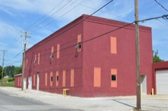 | Ohio Lantern Company | under 500 feet | 1980 |
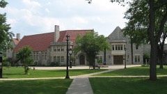 | Great Hall | 0.2 miles | 1979 |
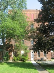 | Mueller Brewery | 0.2 miles | 1980 |
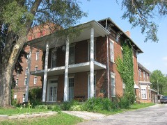 | Christ Mueller House | 0.2 miles | 1980 |
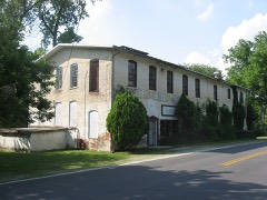 | Bowman's Distillery | 0.2 miles | 1980 |
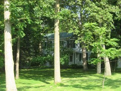 | William Hunter House | 0.2 miles | 1980 |
| National Archives record | The nomination case file for reference 80003225 in Record Group 79. |
| Seneca County | All 46 listed properties in this county. |