BlockBefore
Decorative drawing: a county panorama. Not a photograph of this place.

Seneca County, Ohio

60 topographic sheets and 14 fire insurance atlases across 2 places.

Research this county

This curated hub for Seneca County, Ohio brings together the page's documented record links, visible map or image evidence where published, and routes to related local records.

What is documented here?

Use the page's provenance and linked records to distinguish the source material from the site's navigation and summaries.

How should I cite it?

Open the original record, preserve its repository and identifier, then use the citation tool for this page as a path back to the source.

Where should I go next?

Follow the county or state hub for related places and records, then use the guide for a source-aware research sequence.

From the record

35 National Register listings · 35 businesses named in the fire insurance atlases from 1887 to 1938 · the 1886 county history tells 2 stories and names 481 people · people the book names include Rev. Elias B. Van Arsdale (Seneca Township, 1896) (machine-read).

Sources: the county history on the Internet Archive · the National Register database, National Park Service

Ohio within the United States
Seneca County within Ohio
Explore by year 1827 1938

What the record shows

  • 2 places in this county were surveyed for fire insurance: Tiffin, Attica, between 1887 and 1949.
  • 14 fire insurance atlas(es) survive for the county. Topographic coverage is national; fire insurance survey reached only incorporated places with something worth insuring.
  • 592 topographic sheet readings cover the county's settlements.
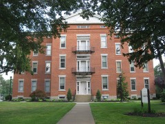
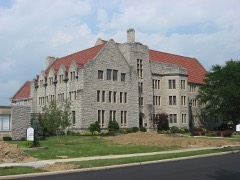
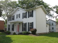
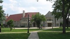
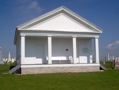
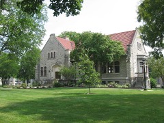
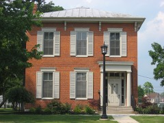
  • 35 properties here are on the National Register of Historic Places, including 6 houses and farms.
  • 17 of the 35 listings were added during the 1970s.
  • The Geographic Names Information System records 51 populated places in this county; 0 are covered by at least one topographic sheet.
  • 9 public-domain county histories, 1848 to 1920, supply 1,182,342 words of narrative reproduced here in full.

What happened here

2 accounts

A captivity, a drowning, a famine, a man scalped clearing his lot in 1789. These are passages from History of Seneca County, Ohio, Containing a History of the County, Its Townships, Towns, Villages ... Portraits of Early Settlers and Prominent Men; Biographies; History of the Northwest Territory; History of Ohio; Statistical and Miscellaneous Matter, Etc., Etc, written while people who remembered the events were still alive, and each one opens the section it comes from.

1886, Seneca Township

Chapter Viii

While Gen. Harrison was at Camp Seneca, he narrowly escaped being murdered by an Indian. It appears that the friendly Indians of the Delaware, Shawanese, and Seneca tribes had been invited to join him. A number had accepted the invitation, and had reached Seneca before the arrival of the Kentucky troops.

Read the rest of this passage

1886, Seneca Township

History Op Seneca Coctnty

" He dreamed he was fleeing from an enemy - it was, he supposed, something supernatural^ perhaps an evil spirit ; that after it had pursued him a long time, and for a great distance, and every effort to escape from it seemed impossible, as it was now just at his heels, and he almost exhausted ; at this perilous time he saw a large water, to which he made with all his remaining strength, and at the very instant when he expected each bound to be his last, he beheld, to his joy, a caiioe, near ihe shore ; this appeared as his last hope ; breathless, and faint, he threw himself into it, and that moment, of its own accord^ quick as an arrow from the bow, it shot from the shore leaving his pursuer on the beach."

Read the rest of this passage

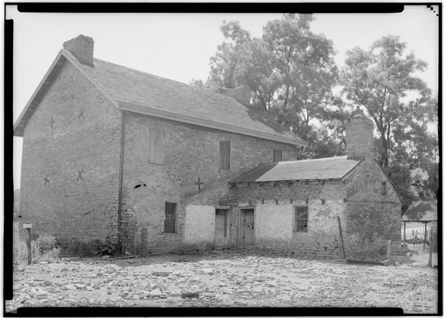
Photographs

3 photographs,

Taken for the Office of War Information and the Farm Security Administration, who photographed the country between 1935 and 1944. Works of United States government photographers, with no known restriction on use. Each opens its catalogue record.

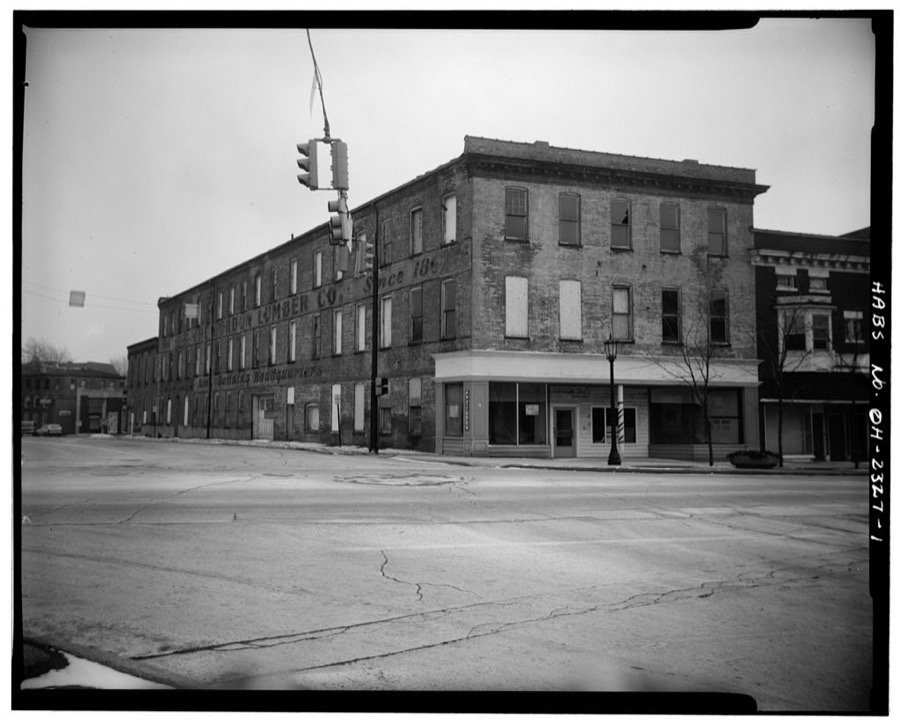
19-21 South Washington Street (Commercial Building), Tiffin, Seneca County, OH
Unattributed, . Library of Congress
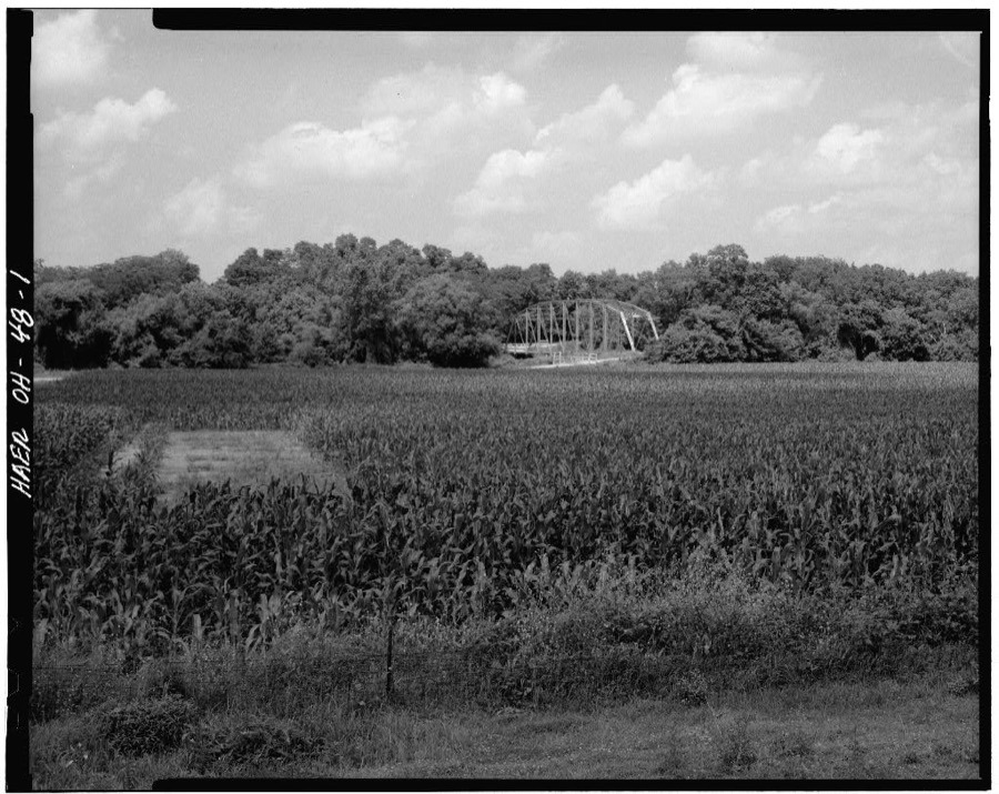
Abbott's Parker Through Truss Bridge, Spanning Sandusky River at Abbott Road (Pleasant Township), Tiffin, Seneca County, OH
Unattributed, . Library of Congress
15-17 South Washington (Commercial Building), Tiffin, Seneca County, OH
Unattributed, . Library of Congress

Places on the National Register

35

Every property in this county listed on the National Register of Historic Places, with the year it was listed and the federal nomination document.

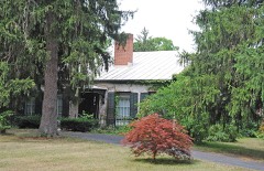
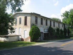
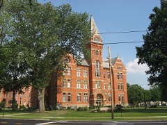
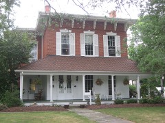
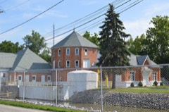
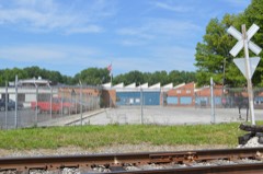
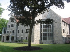
Photograph PropertyType ListedReference
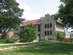
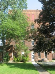
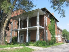
Aigler Alumni Buildingbuilding197979002779
Bagby--Hossler Housebuilding198686001562
Beatty Glass Companybuilding198080003217
Black Student Union Centerbuilding197979002780
Bowman's Distillerybuilding198080003218
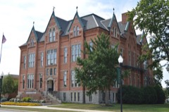
College Hallbuilding197979002778
Cory, Ambrose, Housebuilding197979001942
Fine Arts Buildingbuilding197979002770
Founders Hall, Heidelberg Collegebuilding197373001534
France Hallbuilding197979002776
Gerhart-Rust Residencebuilding197979002766
Great Hallbuilding197979002777
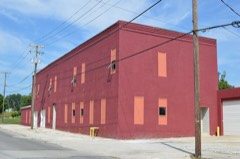
Hanson Machinery Companybuilding198080003219
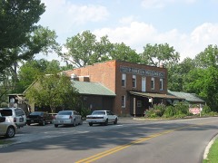
Hedges-Hunter-Keller-Bacon Gristmillbuilding198080003220
Henny Barnbuilding197979003646
Hunter, William, Housebuilding198080003221
Laird Hallbuilding197979002775
Miami Street Grade Schoolbuilding197979001945
Mueller Brewerybuilding198080003222
Mueller, Christ, Housebuilding198080003223
National Home, Daughters of Americabuilding200302001730
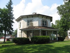
Octagon, Thebuilding197979002764
Ohio Lantern Companybuilding198080003226
Omar Chapelbuilding198787001982
Pfleiderer Center for Religion and the Humanitiesbuilding197979002773
Pleasant Ridge United Methodist Church and Cemeterybuilding199393000880
President's Housebuilding197979002768
Social Science Housebuilding197979002782
Springdalebuilding199393000878
Tiffin Agricultural Worksbuilding198080003227
Tiffin Art Metal Companybuilding198080003228
Tiffin Waterworksbuilding198080003229
Wagner Brothers Bottling Worksbuilding198080003230
Webster Manufacturingbuilding198080003231
Williard Hallbuilding197979002771

Covered bridges

0

Seneca County holds 0 covered bridges on the National Register, more than any other property type here. Each is a listed structure with a federal nomination on file.

Digitised newspapers

12 issues

Sampled issues, machine-read from the Library of Congress scan and published page by page, so every headline and column is searchable text.

The Tiffin Tribune

Tiffin, Ohio, 1848 to 1859. Machine-read from the Library of Congress scan.

The Tiffin Weekly Tribune

Tiffin, Ohio, 1859 to 1868. Machine-read from the Library of Congress scan.

The Tiffin Tribune

Tiffin, Ohio, 1868 to 1887. Machine-read from the Library of Congress scan.

Bird's-eye views and land ownership maps

3

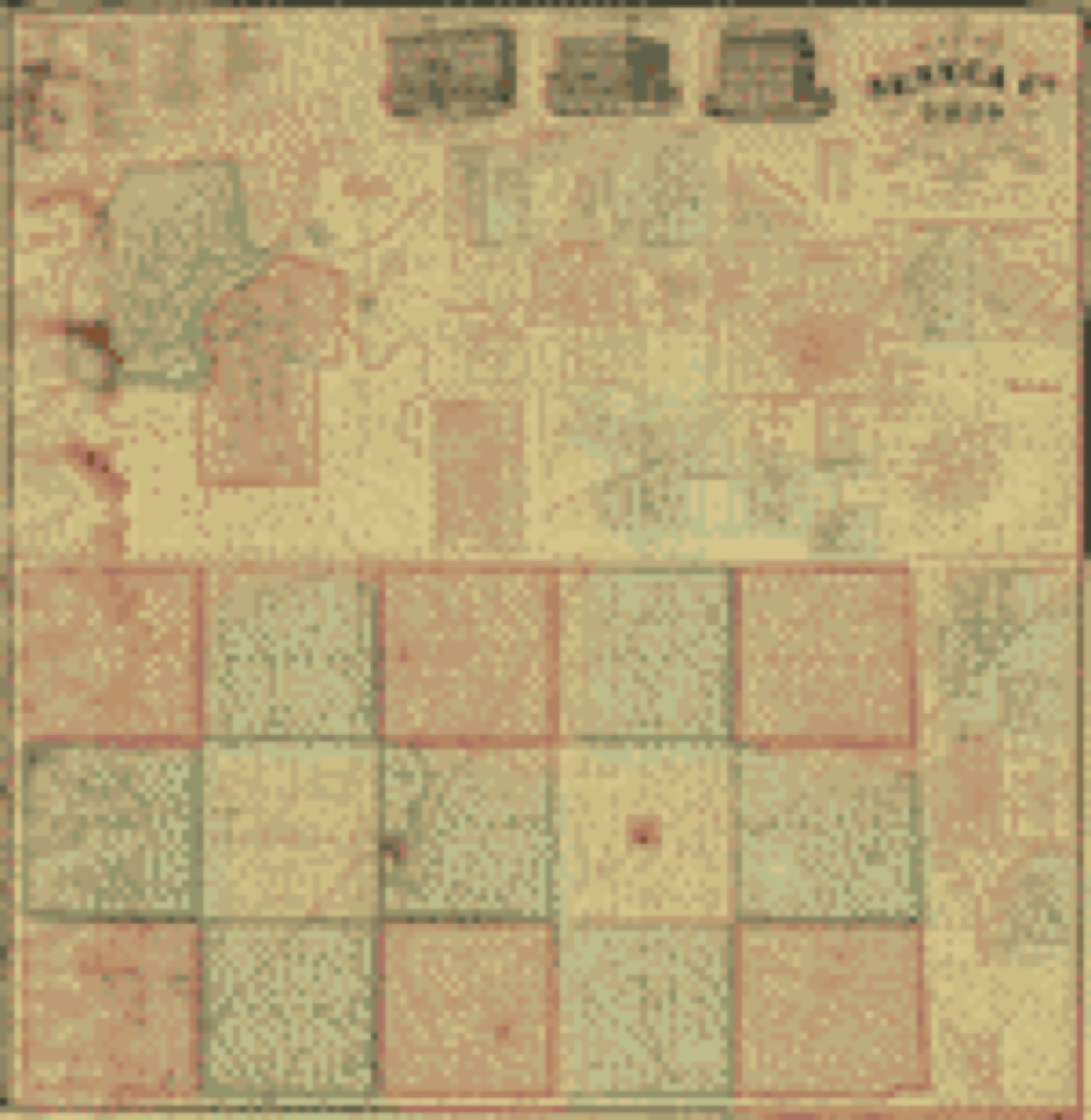
Drawn when these were printed as single large sheets: the town seen from the air, and the county divided into its farms with every owner named. Each opens the original at the Library of Congress.

Land ownership map, 1864 - Map of Seneca Co., Ohio
Land ownership map (1864) - Map of Seneca Co., Ohio. Library of Congress.
Land ownership map, 1891 - Map of Seneca County, Ohio : 1890-91
Land ownership map (1891) - Map of Seneca County, Ohio : 1890-91. Library of Congress.
Land ownership map, 1896 - Map of Seneca County, Ohio
Land ownership map (1896) - Map of Seneca County, Ohio. Library of Congress.

Photographs from libraries nationwide

3 of 13 shown

Selected from the Digital Public Library of America's 13 image records catalogued for this county. Every one shown here carries a public-domain status or a licence that permits reuse on a site that carries advertising; non-commercial, share-alike and restricted images are excluded. The selection is spread across the county's towns (at most eight per town), so no single institution's bulk upload crowds out the rest. Each opens the holding library's record, and the complete set at the Digital Public Library of America is one click away.

The Ohio Farmers Grain & Supply Association, Fostoria, Ohio, Boston Public Library - undated
The Ohio Farmers Grain & Supply Association, Fostoria, Ohio. Boston Public Library, via the Digital Public Library of America.
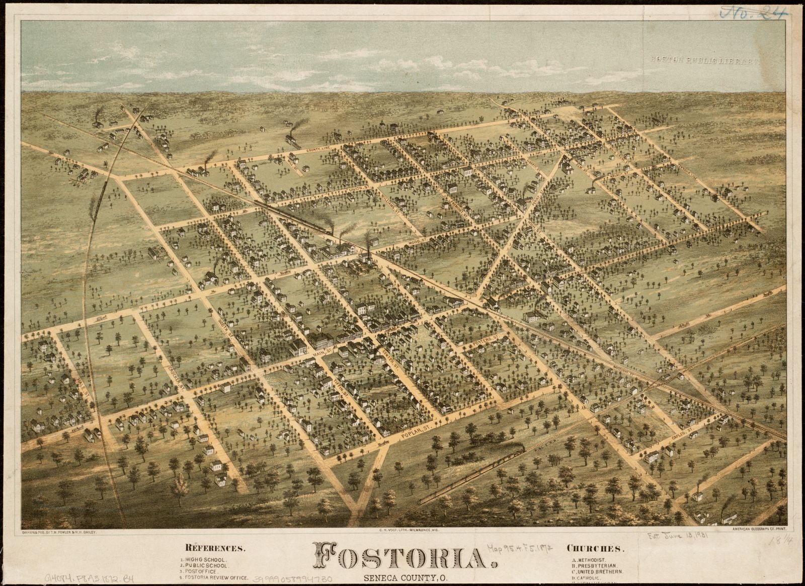
Fostoria, Seneca County, O, Boston Public Library - undated
Fostoria, Seneca County, O. Fowler, T. M. (Thaddeus Mortimer), 1842-1922, Boston Public Library, via the Digital Public Library of America.
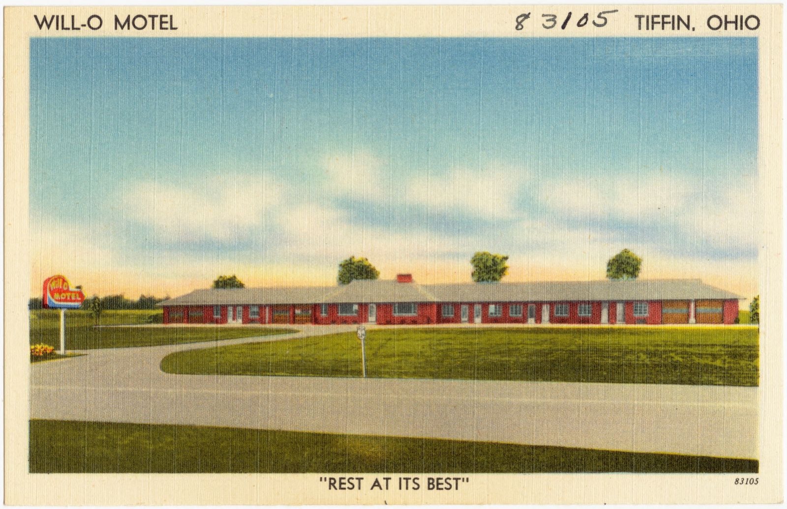
Will-O Motel, Tiffin, Ohio, "Rest at its best", Boston Public Library - undated
Will-O Motel, Tiffin, Ohio, "Rest at its best". Boston Public Library, via the Digital Public Library of America.

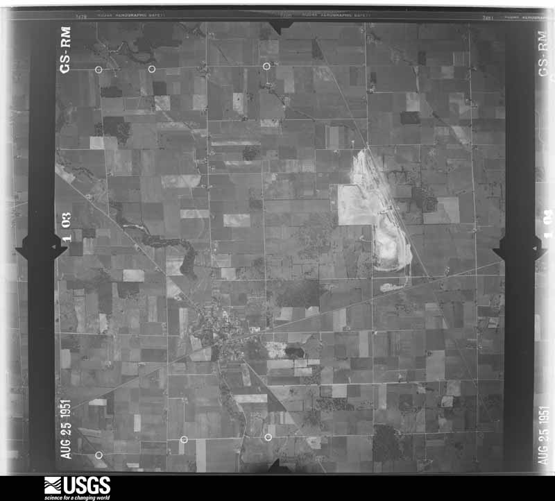
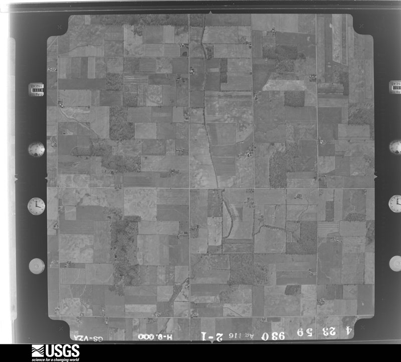
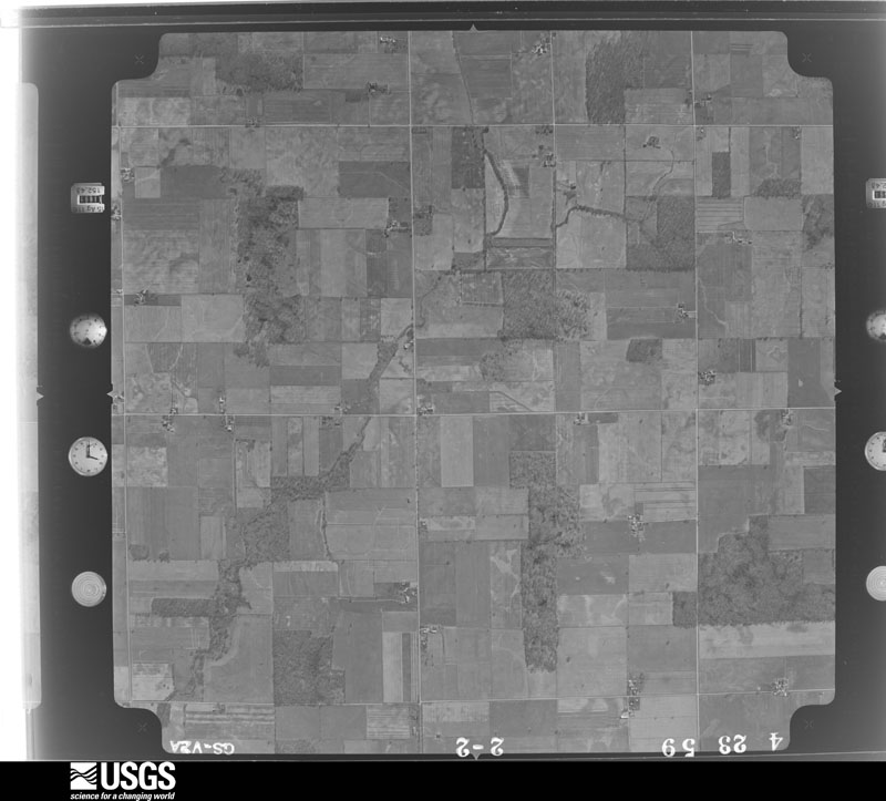
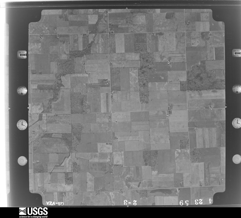
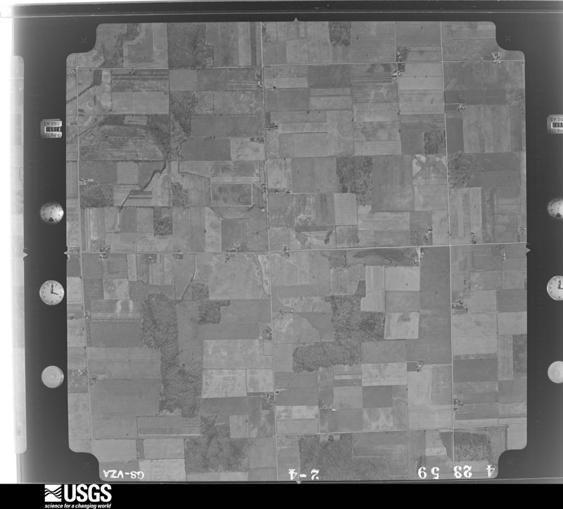
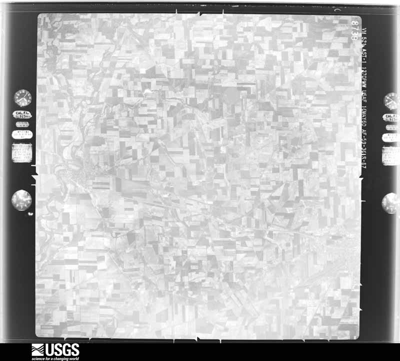
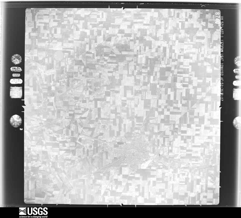
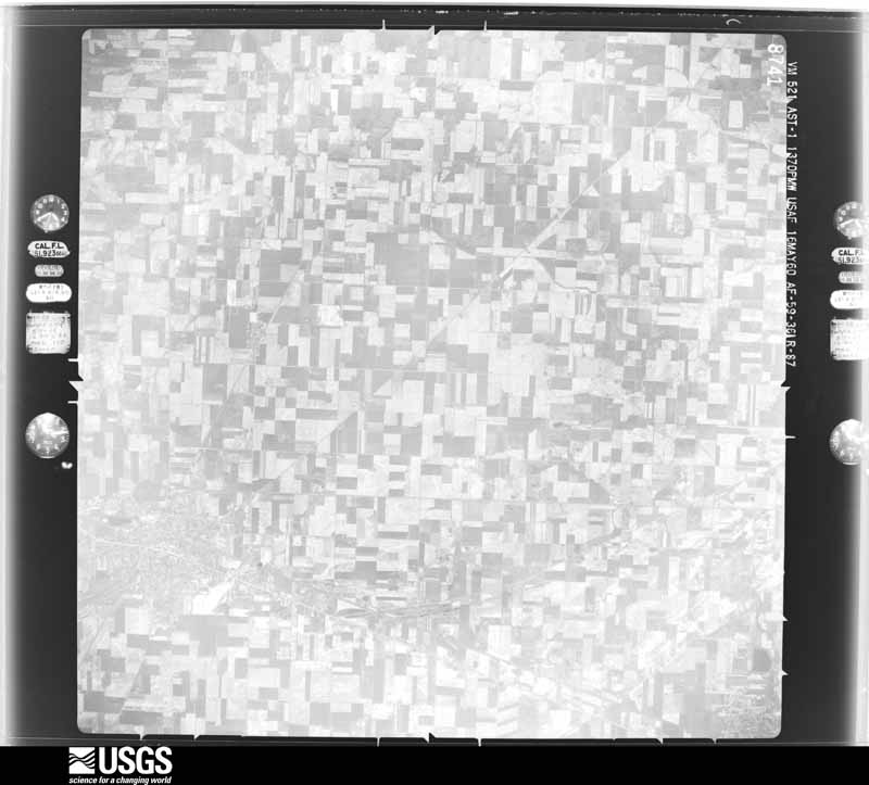
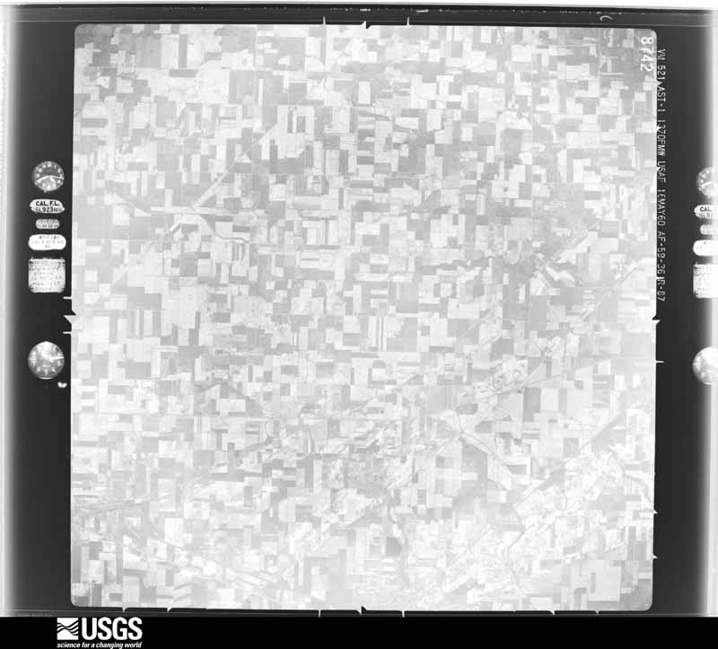
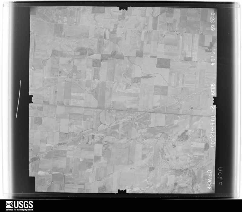
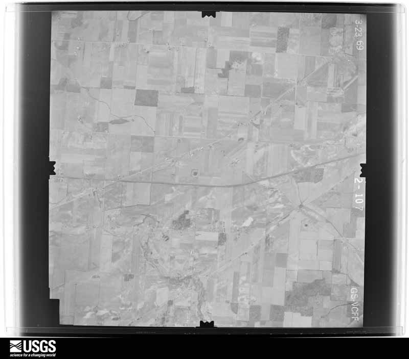
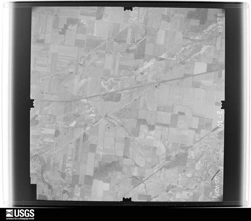
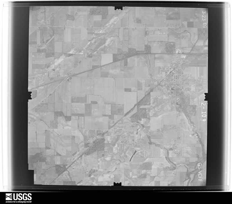
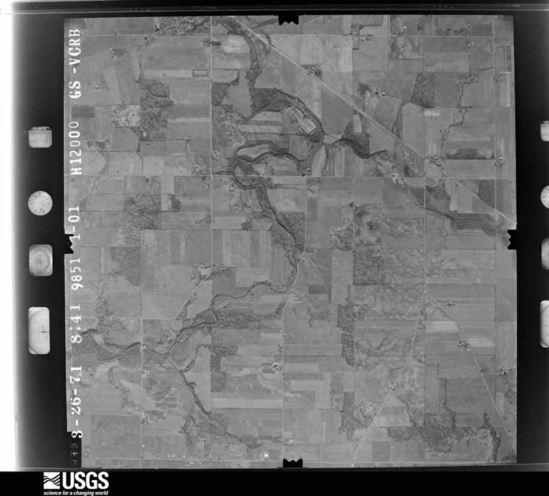
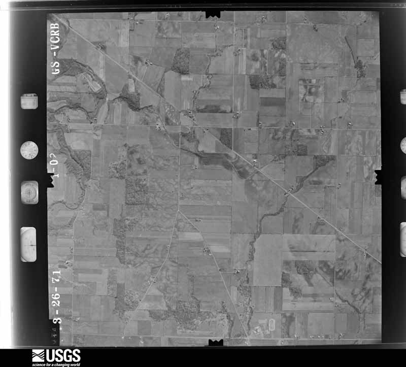
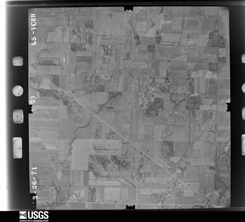
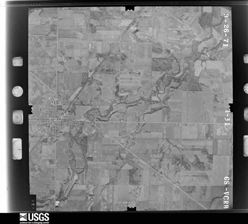
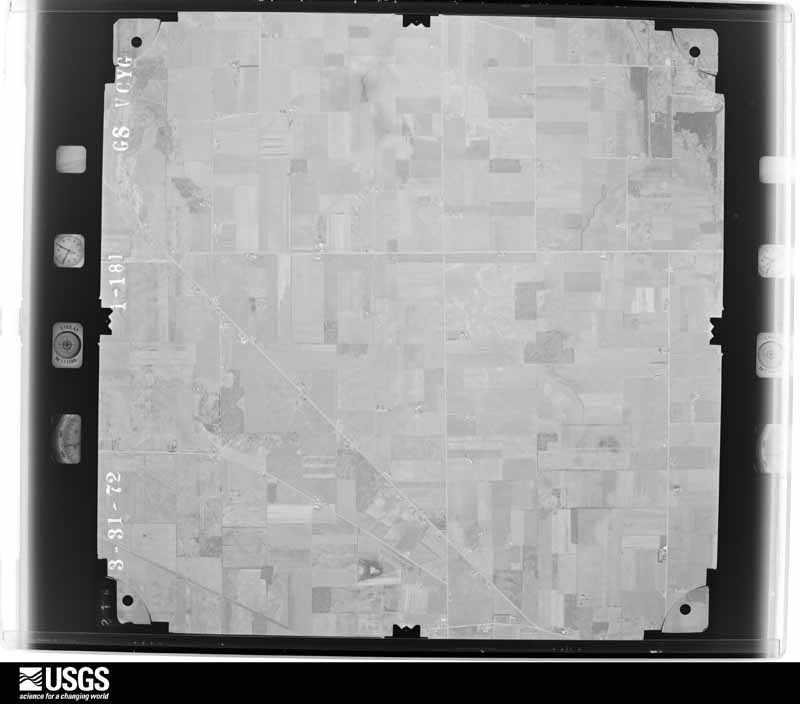
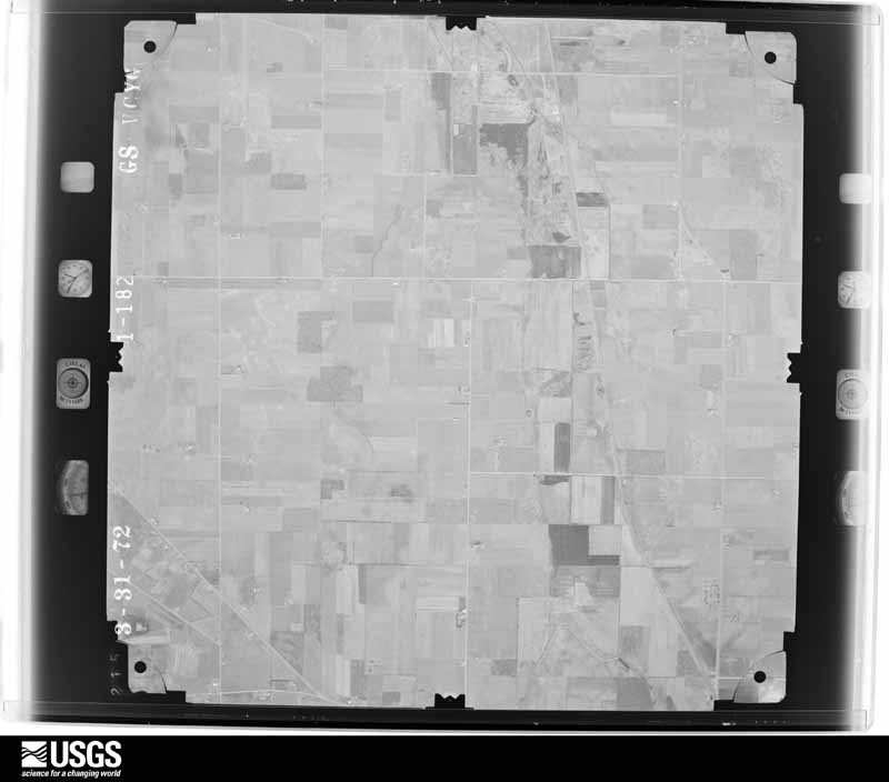
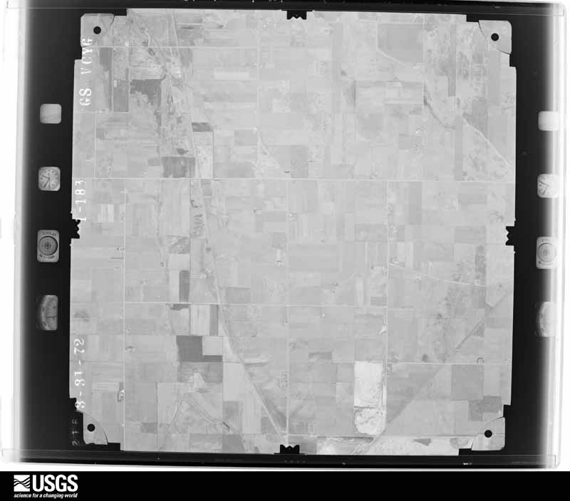
The county from the air

28 of 909 shown

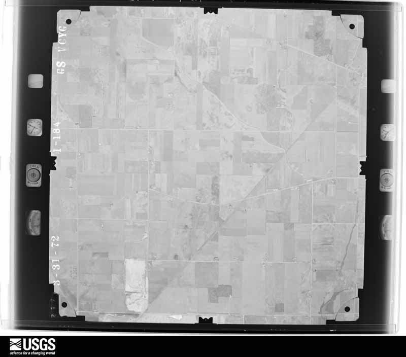
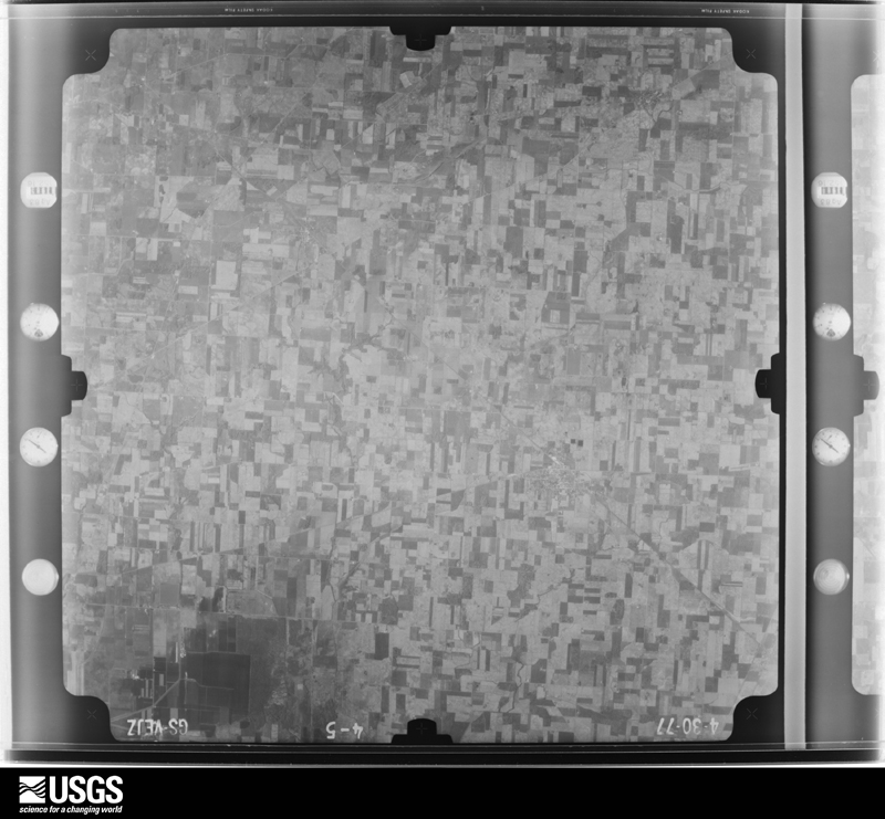
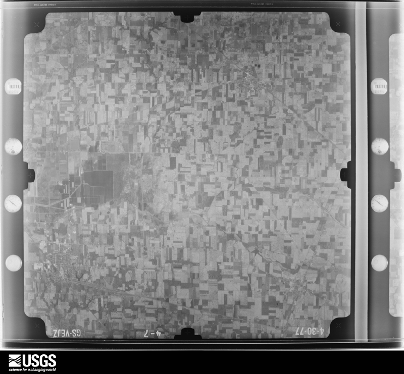
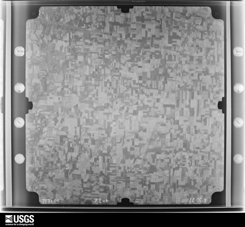
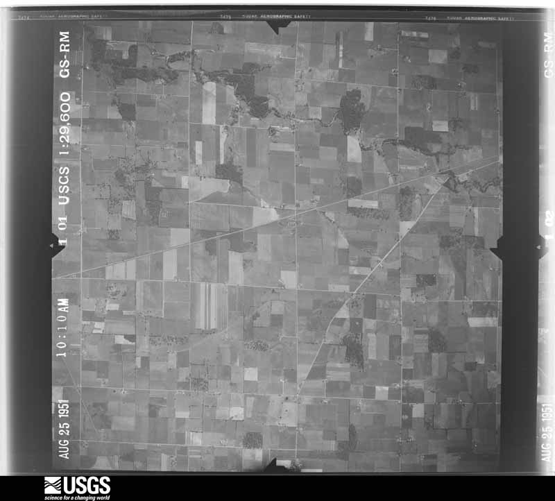
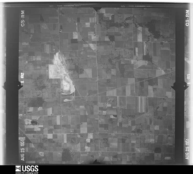
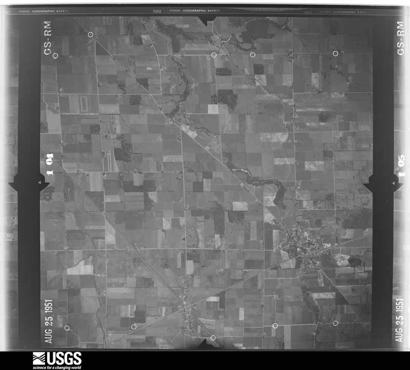
Flown by the U.S. Geological Survey between 1937 and 1989, the Aerial Photo Single Frames collection is the definitive mid-century view of the land: fields, roads and rivers as the camera saw them. 909 frames touch this county; the selection below spreads across the decades of flights (at most four per year), so one flight cannot crowd out the rest. The full set is free to browse and download at EarthExplorer under the dataset Aerial Photo Single Frames.

U.S. Geological Survey aerial photograph, 1951-10-01, scale 1:29600
1951-10-01, scale 1:29600. U.S. Geological Survey aerial photograph.
U.S. Geological Survey aerial photograph, 1951-10-01, scale 1:29600
1951-10-01, scale 1:29600. U.S. Geological Survey aerial photograph.
U.S. Geological Survey aerial photograph, 1951-10-01, scale 1:29600
1951-10-01, scale 1:29600. U.S. Geological Survey aerial photograph.
U.S. Geological Survey aerial photograph, 1951-10-01, scale 1:29600
1951-10-01, scale 1:29600. U.S. Geological Survey aerial photograph.
U.S. Geological Survey aerial photograph, 1959-04-23, scale 1:18000
1959-04-23, scale 1:18000. U.S. Geological Survey aerial photograph.
U.S. Geological Survey aerial photograph, 1959-04-23, scale 1:18000
1959-04-23, scale 1:18000. U.S. Geological Survey aerial photograph.
U.S. Geological Survey aerial photograph, 1959-04-23, scale 1:18000
1959-04-23, scale 1:18000. U.S. Geological Survey aerial photograph.
U.S. Geological Survey aerial photograph, 1959-04-23, scale 1:18000
1959-04-23, scale 1:18000. U.S. Geological Survey aerial photograph.
U.S. Geological Survey aerial photograph, 1960-05-16, scale 1:60000
1960-05-16, scale 1:60000. U.S. Geological Survey aerial photograph.
U.S. Geological Survey aerial photograph, 1960-05-16, scale 1:60000
1960-05-16, scale 1:60000. U.S. Geological Survey aerial photograph.
U.S. Geological Survey aerial photograph, 1960-05-16, scale 1:60000
1960-05-16, scale 1:60000. U.S. Geological Survey aerial photograph.
U.S. Geological Survey aerial photograph, 1960-05-16, scale 1:60000
1960-05-16, scale 1:60000. U.S. Geological Survey aerial photograph.
U.S. Geological Survey aerial photograph, 1969-03-01, scale 1:24000
1969-03-01, scale 1:24000. U.S. Geological Survey aerial photograph.
U.S. Geological Survey aerial photograph, 1969-03-01, scale 1:24000
1969-03-01, scale 1:24000. U.S. Geological Survey aerial photograph.
U.S. Geological Survey aerial photograph, 1969-03-01, scale 1:24000
1969-03-01, scale 1:24000. U.S. Geological Survey aerial photograph.
U.S. Geological Survey aerial photograph, 1969-03-01, scale 1:24000
1969-03-01, scale 1:24000. U.S. Geological Survey aerial photograph.
U.S. Geological Survey aerial photograph, 1971-03-26, scale 1:24000
1971-03-26, scale 1:24000. U.S. Geological Survey aerial photograph.
U.S. Geological Survey aerial photograph, 1971-03-26, scale 1:24000
1971-03-26, scale 1:24000. U.S. Geological Survey aerial photograph.
U.S. Geological Survey aerial photograph, 1971-03-26, scale 1:24000
1971-03-26, scale 1:24000. U.S. Geological Survey aerial photograph.
U.S. Geological Survey aerial photograph, 1971-03-26, scale 1:24000
1971-03-26, scale 1:24000. U.S. Geological Survey aerial photograph.
U.S. Geological Survey aerial photograph, 1972-05-05, scale 1:24000
1972-05-05, scale 1:24000. U.S. Geological Survey aerial photograph.
U.S. Geological Survey aerial photograph, 1972-05-05, scale 1:24000
1972-05-05, scale 1:24000. U.S. Geological Survey aerial photograph.
U.S. Geological Survey aerial photograph, 1972-05-05, scale 1:24000
1972-05-05, scale 1:24000. U.S. Geological Survey aerial photograph.
U.S. Geological Survey aerial photograph, 1972-05-05, scale 1:24000
1972-05-05, scale 1:24000. U.S. Geological Survey aerial photograph.
U.S. Geological Survey aerial photograph, 1977-04-01, scale 1:80000
1977-04-01, scale 1:80000. U.S. Geological Survey aerial photograph.
U.S. Geological Survey aerial photograph, 1977-04-01, scale 1:80000
1977-04-01, scale 1:80000. U.S. Geological Survey aerial photograph.
U.S. Geological Survey aerial photograph, 1977-04-01, scale 1:80000
1977-04-01, scale 1:80000. U.S. Geological Survey aerial photograph.
U.S. Geological Survey aerial photograph, 1977-04-01, scale 1:80000
1977-04-01, scale 1:80000. U.S. Geological Survey aerial photograph.

City directories

3 volumes

The "who lived here, by year" answer: pre-1929 public-domain directory volumes naming the county's people, machine-read and searchable as text.

Weather records

5 stations, 9 gages

The thermometers that kept this county's weather, and the gages that watched its rivers, as the federal records hold them. The extremes below are measured values from those records, not estimates.

The 1950 census, district by district

71 districts

Who lived here in 1950, one enumeration district at a time, as the Census Bureau described each district. Each row opens its official National Archives result, with Population Schedules and ED Maps available there.

  • 74-1Adams township: Green Springs village - That part in Seneca County, comprising part of Adams township (Remainder of Green Springs village is in Green Creek township, Sandusky County)
  • 74-2Adams township - That part outside Green Springs village
  • 74-3Big Spring township: New Riegel village
  • 74-4Big Spring township - That part outside New Riegel village, excluding Convent of the Sisters of the Most Precious Blood
  • 74-5Convent of the Sisters of the Most Precious Blood (In Big Spring township)
  • 74-6Bloom township: Bloomville village
  • 74-7Bloom township - That part outside Bloomville village
  • 74-8Clinton township: Clinton township - That part north of State Hwy. 18, outside Tiffin city
  • 74-9Clinton township - That part south of State Hwy. 18, outside Tiffin city, excluding St. Francis Convent, and Home for the Aged
  • 74-10St. Francis Convent, and Home for the Aged (In Clinton township)
  • 74-11Eden township
  • 74-12Fostoria city - That part in Seneca County: Fostoria city - That part of Ward 1 Bounded by Culbertson, Stonar Rd., City limits; City limits; City limits, Sandusky; Chesapeake and Ohio Railroad, Jackson, Lynn
  • 74-13Fostoria city - That part of Ward 1 Bounded by City limits; City limits, Stonar Rd., Culbertson, Lynn; Jackson; New York Central Railroad
  • 74-14Fostoria city - That part of Ward 1 Bounded by New York Central Railroad; Jackson; County line
  • 74-15Fostoria city - That part of Ward 1 Bounded by Jackson; Main; Elm; County line
  • 74-16Fostoria city - That part of Ward 1 Bounded by Elm; Main; Fremont; County line
  • 74-17Fostoria city - That part of Ward 1 Bounded by Jackson; Chesapeake and Ohio Railroad, Sandusky; Fremont; Main
  • 74-18Fostoria city - That part of Ward 3 Bounded by City limits; City limits; Fremont; Sandusky
  • 74-19Fostoria city - That part of Ward 3 Bounded by Fremont; City limits; Tiffin, Town, Center; Main
  • 74-20Fostoria city - That part of Ward s Bounded by Center, Town, Tiffin; City limits; New York Central & St. Louis Railroad, Columbus Ave., South; Main
  • 74-21Fostoria city - That part of Ward 3 Bounded by Fremont; Main; South; County line
  • 74-22Fostoria city - That part of Ward 4 Bounded by South, Columbus Ave., New York Central & St. Louis Railroad; City limits; Baltimore and Ohio Railroad; Poplar
  • 74-23Fostoria city - That part of Ward 4 Bounded by South; Poplar; Lytle; Wood
  • 74-24Fostoria city - That part of Ward 4 Bounded by South; Wood; Lytle; County line
  • 74-25Fostoria city - That part of Ward 4 Bounded by Lytle; Poplar; City limits; County line
  • 74-26Fostoria city - That part of Ward 4 Bounded by Baltimore and Ohio Railroad; Chesapeake and Ohio Railroad, City limits; City limits; Poplar
  • 74-27Fostoria city - That part of Ward 4 Bounded by Baltimore and Ohio Railroad; City limits; City limits; Chesapeake and Ohio Railroad (Remainder of Fostoria city is in Washington township, Hancock County)
  • 74-28Hopewell township: Hopewell township - That part north of Baltimore and Ohio Railroad, outside Tiffin city
  • 74-29Hopewell township - That part south of Baltimore and Ohio Railroad, outside Tiffin city
  • 74-30Jackson township - Outside Fostoria city
  • 74-31Liberty township: Bettsville village
  • 74-32Liberty township - That part outside Bettsville village
  • 74-33Loudon township - Outside Fostoria city
  • 74-34Pleasant township
  • 74-35Reed township
  • 74-36Scipio township: Republic village
  • 74-37Scipio township - That part outside Republic village
  • 74-38Seneca township: Seneca township - That part east of State Hwy. 53
  • 74-39Seneca township - That part west of State Hwy. 53
  • 74-40Thompson township: Thompson township, excluding Ebeneser Orphan Asylum and Hospital
  • 74-41Ebenezer Orphan Asylum and Hospital (In Thompson township)
  • 74-42Tiffin township, coextensive with Tiffin city: Tiffin city - That part of Ward 1, excluding Tiffin State Hospital Bounded by City limits; City limits; Cleveland, Cincinnati, Chicago and St. Louis Railway; Sandusky River
  • 74-43N/A
  • 74-44Tiffin State Hospital (In Tiffin city, Ward 1)
  • 74-45Tiffin city - That part of Ward 1, excluding Shawhan Hotel Bounded by Cleveland, Cincinnati, Chicago and St. Louis Railway; City limits; E. Perry, E. Market, E. Perry; Sandusky River
  • 74-46Shawhan Hotel (In Tiffin city, Ward 1)
  • 74-47Tiffin city - That part of Ward 1 Bounded by E. Perry; City limits; Greenfield, Walker; Hedges, Greenfield, Stanton, Baltimore and Ohio Railroad
  • 74-48Tiffin city - That part of Ward 1 Bounded by E. Perry, E. Market, E. Perry, Baltimore and Ohio Railroad; Stanton, Greenfield, Hedges; Walker; Circular, E. Market, Rock Creek
  • 74-49Tiffin city - That part of Ward 1, excluding Ursuline Convent Bounded by E. Perry; Rock Creek, E. Market, Circular; Walker; Schonhardt, Main, Jefferson, E. Market, Sandusky River
  • 74-50Ursuline Convent (In Tiffin city, Ward 1)
  • 74-51Tiffin city - That part of Ward 2 Bounded by City limits; Sandusky River; E. Davis; N. Sandusky, City limits
  • 74-52Tiffin city - That part of Ward 2 Bounded by City limits; N. Sandusky; N. Washington
  • 74-53Tiffin city - That part of Ward 2 Bounded by City limits; N. Washington; Second Ave.; City limits
  • 74-54Tiffin city - That part of Ward 2 Bounded by Second Ave.; N. Washington, N. Sandusky; Hall, Pennsylvania Railroad, W. Davis; City limits
  • 74-55Tiffin city - That part of Ward 2 Bounded by E. Davis; Sandusky River; Cleveland, Cincinnati, Chicago and St. Louis Railway, Water, Erie, Noble; N. Sandusky
  • 74-56Tiffin city - That part of Ward 2 Bounded by Noble; Erie, Water, Cleveland, Cincinnati, Chicago and St. Louis Railway; Sandusky River; N. Monroe extended, N.Monroe
  • 74-57Tiffin city - That part of Ward 2 Bounded by Hall, N. Sandusky, Noble; N. Monroe, N. Monroe extended; Sandusky River, Ward line, Miami; Jackson
  • 74-58Tiffin city - That part of Ward 2 Bounded by W. Davis, Pennsylvania Railroad, Hall; Jackson; Miami; City limits
  • 74-59Tiffin city - That part of Ward 3 Bounded by Miami, Ward line; Sandusky River; W. Perry; Jackson
  • 74-60Tiffin city - That part of Ward 3 Bounded by Miami; Jackson; W. Perry; Scott
  • 74-61Tiffin city - That part of Ward 3 Bounded by City limits, Miami; Scott, W. Perry, Jackson; W. Market; City limits
  • 74-62Tiffin city - That part of Ward 3 Bounded by W. Market, Jackson, W. Perry; S. Sandusky; City limits; City limits
  • 74-63Tiffin city - That part of Ward 3 Bounded by W. Perry; Sandusky River; City limits; S. Sandusky
  • 74-64Tiffin city - That part of Ward 4 Bounded by E. Market; Jefferson; Main, S. Washington, Sycamore, Union; Second, Sandusky River
  • 74-65Tiffin city - That part of Ward 4 Bounded by Sandusky River; Second; Union, Union extended; Sandusky River
  • 74-66Tiffin city - That part of Ward 4 Bounded by Union, Sycamore; S. Washington, City limits; City limits; Sandusky River
  • 74-67Tiffin city - That part of Ward 4 Bounded by Main, Schonhardt, Walker; Circular, Hancock, Hedges; Coe; S. Washington
  • 74-68Tiffin city - That part of Ward 4 Bounded by Walker, Greenfield; City limits; City limits, Coe; Hedges, Hancock, Circular
  • 74-69Tiffin city - That part of Ward 4 Bounded by Coe; City limits; City limits; S. Washington
  • 74-70Venice township: Attica village
  • 74-71Venice township - That part outside Attica village

Businesses named in the atlases

35 businesses

Every Sanborn volume opens with a printed index naming the town's mills, tanneries, hotels and works by proprietor. Those indexes were read off the scanned sheets by machine and then matched to each other, so a business surveyed four times appears here once, with the years it survived. 5 of these 35 were named in more than one atlas. Each carries a crop of the line it was read from: the spelling is the recogniser's and the 1880s lithographer's, and the scan behind it is the proof.

Storms, 1959 to 2026

60 of 464 shown

The NOAA Storm Events Database holds 464 reports for this county, causing 7 deaths, 37 injuries and about $31,150,850 in recorded property damage. Each settlement page carries the reports that name it.

Kind of event Reports
Thunderstorm Wind248
Hail159
Tornado23
Flash Flood23
Flood5
Lightning2
Heavy Rain1
Winter Weather1
Funnel Cloud1
High Wind1

The most serious of them, by death, then injury, then recorded damage. The accounts are quoted exactly as the forecast office filed them.

WhenEvent Place namedHarm What the report says
April 1965Tornado (F3)not stated4 killed, 30 hurt, $250,000no account filed
November 2002Tornado (F3)Tiffin1 killed, 2 hurt, $12,800,000An F1 tornado touched down southwest of Tiffin near the Seneca County Airport. The tornado moved east northeast and strengthened to F3 intesity as it crossed U.S. Highway 224 and moved into Tiffin. The Honey Creek subdivision along County Road 19 near US 224 was hard hit. Six homes on Nantucket Drive in the subdivision were destroyed and many other homes damaged. As the tornado continued across the southern part of Tiffin it leveled a business along State Route 231 and destroyed several homes on Siesta Drive just east of State Route 231. A retirement community along St. Francis Avenue and just north of Siesta Drive was also hard hit by the tornado. Eight homes in the community were destroyed with five more damaged enough to be declared uninhabitable. Another 25 homes sustained lesser amounts of damage and several cars were found lying upside down. The tornado weakened to F2 intensity as it crossed State Route 100 and moved over Greenlawn Cemetary. From the cemetary, the tornado began to move in more of a northeasterly direction and briefly weakened to F1 intensity as it passed to the east of Heidelburg College. The tornado reintensified to F2 as it crossed State Route 18 and continued northeast across open country where it damaged many more homes and buildings. The tornado reached strong F3 intensity for several miles to the northwest and north of Republic. A 24 year old male was killed and two other people seriously injured when a home in Scipio Township on County Road 38 near County Road 43 was swept off of it's foundation. Two other homes nearby were also leveled. The tornado remained on the ground for another ten miles and gradually weakened to F2 intensity. It finally lifted south of State Route 18 near Fireside. Later, the same parent thunderstorm spawned another tornado a few miles away in Huron County. Overall, this tornado destroyed 32 homes and businesses, heavily damaged another eight and slightly damaged around 70 homes in Seneca County. Dozens of cars were also damaged and destroyed with downed trees and power poles numbering in the hundreds. The damage path from this tornado was roughly 21 miles in length and over 200 yards in width at times.
May 1973Tornado (F3)not stated1 killed, $2,500,000no account filed
December 2013FloodTiffin Arpt1 killed, $5,000The Sandusky River at Tiffin came out of its banks after a heavy rain event on the 21st and 22nd. The river 11.11 feet, 0.61 feet above moderate flood stage. Flooding impacted Route 53 north of U.S. 224. Floodwaters also inundated Township Road 131. In the city of Tiffin, Water Street, Marlyn Street, Front Street, and Davis Street were inundated. There was one fatality on Maryln Street due to the flooding.
January 1998Winter WeatherCountywide2 hurtno account filed
June 1991Thunderstorm Windnot stated2 hurtno account filed
July 1999LightningTiffin1 hurtA 20 year old male was struck by lightning while golfing. The man was treated at a local hospital for minor injuries.
February 2011Flash FloodTiffin$1,500,000Portions of the Heidelberg University campus in Tiffin and the local YMCA were flooded as Rock Creek came out of it's banks. Waist deep water was reported in the Clinton Mobile Home park. The Riverbend Apartments experienced flooding in the lower-level apartments. At least 30 vehicles were damaged by flooding on the Heidelberg campus. Two drivers were rescued from submerged vehicles on county road 16 in Bloomville. One rescue occurred at US 224 just east of county road 17. Additional water rescues occurred at SR 19, CR 16, and TR 218.
August 2007FloodBettsville$1,500,000Heavy thunderstorm rains fell on Seneca County on August 19th through the 21st. Widespread flooding occurred across the county with the worst conditions reported in northern Seneca County. A spotter in the northwestern corner of the county reported 6.30 inches of rain between 8 am on the 19th and 3 pm on the 20th. A Cooperative Observer in Tiffin measured a three day total of 4.45 inches. Significant flooding occurred along all of the major rivers and steams in the county. The Sandusky River left it's banks in Tiffin and flooded portions of 5th and 6th Avenues. Many homes on these streets were damaged by flooding. Wolf Creek left it's bank near Bettsville and caused a lot of damage. At least two homes in the town had to be evacuated because of flooding. State Route 12 had to be closed because of flood waters up to three feet deep. On the 21st, a nursing home north of McCutchenville had to be partially evacuated because of rising flood waters. During this event, one home was damaged enough by the flooding to be declared destroyed with another seven homes damaged enough to be uninhabitable. Hundreds of additional homes in the county sustained lesser amounts of damage, mainly from basement flooding. Dozens of streets and highways in the county had to be closed because of flooding. Erosion and standing water caused considerable damage to agricultural interests in the county.
November 2002Tornado (F1)Fostoria$1,100,000After lifting in downtown Fostoria (near the Hancock County border) the tornado touched down again on the northeastern edge of Fostoria. The tornado moved northeast from this location and damaged several homes before reaching the Fostoria Airport where a hanger and office building were damaged. From the airport, the tornado continued northeast across open farmland for a few miles and finally dissipated northwest of Amsden near the intersection of County Road 3 and Township Road 172. Several more homes and barns were damaged along the last half of the tornado track. Many cars were also damaged and hundreds of trees and power poles toppled. The damage path from this tornado in Seneca County was roughly five and a half miles in length and around 25 yards in width.
July 2013Thunderstorm WindFostoria$800,000A line of thunderstorms producing winds estimated to be around 70 mph raced east across Seneca County causing widespread damage. Hundreds of trees were snapped or toppled. A lot of damage to homes and buildings was also observed. Most of this damage was from lost roofing or siding but some outbuildings were also flattened. A lot of tree damage was reported on the south side of Fostoria. A line of 15 utility poles was knocked down northeast of Republic. The damage was especially heavy in the northeast corner of the county from Reedtown north to Flat Rock. A lot of downed trees were also reported in the Attica area. Several vehicles were reported damaged in the county. Power outages were reported throughout the county. It took several days for power to be fully restored, especially across the northeast corner of the county. Many roads had to be closed because of downed trees and power lines.
May 2008Tornado (EF1)Fostoria Snyder Arpt$750,000An EF1 tornado continued into western Seneca County from Hancock County. The tornado entered the county on the south side of Fostoria and continued northeast for around two and half miles before dissipating near County Road 60. One home on the south side of Fostoria was damaged enough to be classified as destroyed. Many other homes in the city sustained roof or siding damage. At least 30 homes were reported to have limbs or trees on them in Fostoria alone. Several sheds and other outbuildings were also leveled. Hundreds of trees were toppled as well. This tornado had a damage path more than eight miles in length and up to a 100 yards in width.
November 2017Thunderstorm WindTiffin Seneca Co Arp$500,000Thunderstorm downburst winds estimated to be as much as 70 mph caused considerable damage on the south side of Tiffin and also across Seneca and Eden Townships to the south of the city. Hundreds of trees and large limbs were downed across the area along with many utility poles. In Tiffin, homes were reported damaged on Melmore Street, Mohawk Street, Longfellow Drive and Coe Streets. 55 trees were toppled or uprooted in Greenlawn Cemetary on the southeast side of Tiffin. Several barns were damaged in Seneca and Eden Townships. The damage was most concentrated along County Road 19 and Township Road 159 south of Melmore. Several roads and streets were blocked by fallen trees and widespread power outages were reported throughout the Tiffin area.
July 2003Thunderstorm WindCountywide$500,000A line of severe thunderstorms moved across Seneca County and caused extensive damage. A 69 mph gust was measured in Tiffin at 3:51 a.m. Over 100 trees and at least ten power poles were downed in the county. Several homes were damaged across the county and a barn was leveled on County Road 39. Several buildings were also damaged at the county fairgrounds and a truck was blown over on State Route 4 near Attica. Many vehicles were damaged or destroyed by fallen trees and limbs.
June 2006Flash FloodWest Portion$450,000Thunderstorms dumped 1 to 2 inches of rainfall on the western half of Seneca County during the evening hours of the 21st on ground already saturated from flooding earlier in the day. Cooperative observers in Tiffin measured 3.33 inches of rain on the 21st with 2.39 inches measured by spotters in the eastern portion of county. Widespread lowland and urban flooding occurred as streams and creeks quickly left their banks. The street flooding was especially bad in Fostoria where an underpass was flooded by more than four feet of water. Numerous other roads and streets were also closed because of flooding. Dozens of homes sustained damage from basement and nuisance flooding. Crop losses because of flooding were also substantial.
May 2004Flash FloodCountywide$400,000Thunderstorms dumped between two and three inches of rain on Seneca County during the early morning hours of May 21st. A cooperative observer in Tiffin measured 2.36 inches of rain. This rainfall combined with ground already saturated from heavy rains the previous few days led to widespread flooding. Several roads in the county were either washed out or flooded. Many homes sustained flood damage.
November 2017Thunderstorm WindInk$350,000Thunderstorm downburst winds estimated at 70 mph caused damage along State Route 18 from about two miles west of Republic to Republic. Nearly every property along State Route 18 from Schubert Road to County Road 43 sustained damage. Several homes had roof damage and a couple barns lost entire roofs. A semi trailer was overturned and many trees were toppled or uprooted. Part of a unharvested corn field was flattened. Several homes in the town of Republic also sustained roof damage. The damage also continued east of Republic along State Route 162. A couple barns were heavily damaged and a couple dozen trees toppled. Damage was also reported just to the south along Township Road 8 which runs parallel to State Routes 18 and 162. Scattered power outages were reported throughout the Republic area.
June 2012Thunderstorm WindSpringville$300,000An intense line of thunderstorms or Derecho moved across the southern end of Seneca County during the afternoon of June 29th causing some damage. A wind sensor near Tiffin measured a 65 mph wind gust. The Springville area in southwestern Seneca County was especially hard hit with dozens of trees knocked down. A few homes and buildings lost roofing or siding. Scattered power outages were reported.
August 2022Flash FloodFostoria$250,000Fostoria Police and Fire reported flash flooding across the southern half of Fostoria. All underpasses in the city were impassable with up to 5 feet of water over the roadways. Most streets on the south side of Fostoria were flooded with an average of 2 feet of water depth. Several reports of vehicles stranded in flood waters with up to 3 feet of water depth. Reports of numerous basements flooded. Trained spotter measured 3.05 inches of rain in around an hour period between 1300 LST to 1400 LST. Radar estimates of 2.5 to 3 inches of rain fell in this one hour period across Fostoria, with a peak recurrence interval of 50 years where the heaviest rain fell. Peak instantaneous rainfall rates of 3.5 inches per hour were estimated by radar.
July 2019Thunderstorm WindCooper$250,000There was damage to the roof and structure of a large barn. At least one silo was destroyed and one silo was damaged. A large tree branch was blown onto a house. There were numerous trees reported blown down. Most of the damage reports were along East Township 138.
November 2017Thunderstorm WindBascom$250,000Thunderstorm winds estimated at 70 mph destroyed three barns and heavily damaged two more along State Route 635 north of Bascom. A home nearby also sustained some damage.
October 2013Thunderstorm WindNew Riegel$250,000Thunderstorm wind gusts estimated to be as least 60 mph caused considerable damage in and around Tiffin. A mobile home was knocked off of its foundation west of Tiffin and barn was heavily damaged east of the city. At least 10 utility poles were toppled on the south side of Tiffin causing widespread power outages. Dozens of trees and large limbs were downed.
July 1992Tornado (F2)not stated$250,000no account filed
May 1991Tornado (F1)not stated$250,000no account filed
June 1989Tornado (F0)not stated$250,000no account filed
November 1965Tornado (F2)not stated$250,000no account filed
February 1961Tornado (F2)not stated$250,000no account filed
November 2017Tornado (EF1)West Lodi$200,000A weak tornado touched down along Township Road 100 in West Lodi. The location is about 100 yards west of County Road 27. Two storage sheds near the initial touchdown were destroyed and their contents thrown across the area. Debris from the sheds peppered the two houses associated with the sheds. Both homes had projectiles from the sheds sticking out of three of their four sides. Both houses also sustained major roof damage and were shifted off of their foundations. The tornado then continued northeast across County Road 27 and strengthened to EF1 intensity. A couple homes on the east side of Country Road 27 had windows blown out and suffered roof damage. Many trees in the area were also snapped or uprooted. The tornado then continued northeast across farm land before lifting as it approached Township Road 134. Portions of a corn field were flattened by the tornado. The damage path was just under a half mile in width and over 150 yards in width at time.
May 2011HailAlvada$200,000A line of thunderstorms produced a large swath of hail ranging in size from peas to golf balls. Numerous vehicles and homes were damaged during this event.
November 2017Tornado (EF2)Cooper$150,000A weak tornado touched downed in a field in rural Adams Township. The initial touchdown occurred east of County Road 21 about half way between Township Road 138 and County Road 38. A few trees were snapped or uprooted near the initial touchdown. The tornado then continued east as it rapidly strengthened to EF2 intensity. The tornado leveled a large barn as it approached State Route 18. Debris from the barn was found scattered across a large area including wrapped around utility poles and trees. The tornado crossed State Route 18 and lifted before reaching Township Road 183. This tornado was on the ground for just over a half mile.
July 2013Tornado (EF0)West Lodi$150,000A weak EF1 tornado touched down in rural Reed Township near the intersection of County Road 27 and Township Road 122. The tornado continued intermittently on the ground for about six miles before crossing into Huron County. Damage along the damage path consisted mainly of downed trees, although some structures did sustain significant damage. Several barns lost sections of roofing. One home near the initial touchdown had a second story wall partially collapse. The attached garage on one home lost its garage door and was lifted from its foundation. There was also evidence of extensive straight wind damage along the path. Crop damage, especially to corn, was significant.
May 2005Thunderstorm WindTiffin$150,000Thunderstorms winds blew several containers off of a moving train five miles west of Tiffin.
April 2003Thunderstorm WindFostoria$150,000Thunderstorm winds downed many trees and large limbs in Tiffin and at least two large limbs in Fostoria. A couple homes in Tiffin sustained roof damage. A few cars were also damaged by fallen trees and limbs. 1,600 customers lost power in Tiffin alone.
November 2017Thunderstorm WindWeiker Arpt$125,000Thunderstorm wind gust estimated at 70 mph damaged the roof of a home along State Route 101 near Weiker Airport in northern Seneca County. Two barns nearby were also heavily damaged.
June 1999Thunderstorm WindCountywide$125,000Trees and large limbs down countywide. Two cars were damaged by falling trees at Kansas. A grain elevator was blown across the road near the intersection of CR 31 and CR 42. In Maple Grove, a garage roof was torn off with moderate damage done to the adjacent house. A nearby concrete block barn was also destroyed.
June 2013Thunderstorm WindAmsden$100,000Thunderstorm winds downed dozens of trees across northern Seneca County. Scattered power outages were reported.
July 2011Flash FloodTiffin$100,000Over six inches of rain fell over Tiffin during the overnight hours. This resulted in numerous road closures, abandoned cars, and the evacuation of the Clinton Estates mobile home park. The YMCA building was flooded with significant damage. Most roads around Tiffin were closed for several hours.
May 2011HailFostoria$100,000Hail from penny to golf ball sized was reported. Many vehicles and a few homes were damage by the hail.
April 2007Thunderstorm WindTiffin$100,000Thunderstorm downburst winds downed a dozen power poles along County Road 48 west of Tiffin in Hopewell Township. Two trees were also toppled southwest of Tiffin near the intersection of State Route 53 and U.S. Highway 224.
July 2005Flash FloodSouth Portion$100,000Thunderstorms dumped locally heavy rains on the southern portion of Seneca County. Rainfall rates with the stronger storms approached two inches per hour. Many roads including U.S. Route 224 southeast of Tiffin were closed because of flood waters over a foot in depth. Several secondary roads were also washed out. A few homes sustained damage from basement and lowland flooding.
July 2003Flash FloodCountywide$100,000Thunderstorms dumped two to four inches of rain on Seneca County during the late afternoon and early evening hours. Widespread street and lowland flooding occurred with many streams and creeks leaving their banks. Many roads had to be closed due to flood waters up to three feet deep.
July 1999Thunderstorm WindCountywide$100,000Thunderstorms producing strong downburst winds downed trees and power lines throughout the county. A 75 foot by 100 foot pole barn located two miles to the northeast of Republic was completely destroyed and blown 200 feet. Just east of Cromers on State Route 53, a pole barn had an entire side blown off. A nearby garage was blown off its foundation and completely destroyed. Two cars were destroyed in Fostoria by fallen trees.
August 1998Flash FloodCountywide$100,000Heavy thunderstorm rain caused flooding of roads and low lying areas. Some roads had to be closed. Basements were flooded in the town of Attica and Clinton Mobile Home Court on State Route 101 was flooded when Willow Creek overflowed its banks.
July 1995Thunderstorm WindCountywide$80,000no account filed
November 2017Thunderstorm WindBascom$75,000Thunderstorm winds estimated at 70 mph caused major damage to home on Township Road 87 east southeast of Fostoria. A garage at a property nearby was also heavily damaged.
March 2017Thunderstorm WindTiffin$75,000A line of thunderstorms moved across Seneca County downing at least 30 trees across the southern half of the county. Some power outages were reported as well.
June 2013Thunderstorm WindGreen Spgs$75,000Thunderstorm winds blew down a large pole barn.
July 2013Tornado (EF0)Kansas$75,000An EF0 tornado touched down southeast of Kansas just to the east of the intersection of State Route 636 and Township Road 36. The tornado was only briefly on the ground but tore the roof off of a mobile and damaged a nearby barn. A camper on property was also overturned. Many trees were also toppled and some corn was blown down in a field. The damage path was no more than 100 yards in length. A trained spotted witnessed the touchdown.
August 2007Flash FloodBettsville$75,000Heavy rain fell across the area during the early morning hours of the 20th. Flash flooding conditions were reported during the morning hours as creeks quickly overflowed their banks and underpasses filled with three feet of water making those roads impassable. By the midday hours, flooding was reported in Bettsville and Old Fort with many roads closed including State Route 17 in Bettsville, and State Route 18 between Republic and Bellevue. During the afternoon hours, widespread flooding was reported with roads closed countywide, and evacuations were taking place in Bettsville. Flooding conditions continued through the overnight and morning hours of the 21st, but water began to recede across the area during the afternoon hours. However, runoff eventually brought the Sandusky River in Tiffin into flood. See the accompanying write up for additional information on the flooding of the Sandusky River.
July 2006Thunderstorm WindFostoria$75,000Numerous trees were reported down throughout the city of Fostoria. Four houses and two cars sustained damage from trees falling on them. A restaurant in Fostoria had two walls knocked down causing considerable structural damage.
May 2004Thunderstorm WindCountywide$75,000A line of severe thunderstorms moved across Seneca County and downed dozens of trees. Scattered power outages were also reported. A few homes and vehicles were damaged by fallen trees and flying debris in Tiffin and Fostoria.
June 2002LightningNew Riegel$75,000Lightning caused a house fire.
October 1996Thunderstorm WindCountywide$75,000no account filed
June 1997Flash FloodCountywide$70,000no account filed
August 2007Tornado (EF0)Bettsville$60,000A tornado touched down on a farm southwest of Bettsville. This touchdown occurred along Township Road 154 about a half mile to the west of State Route 635. A follow-up survey of the damage was conducted and the tornado was determined to be an EF0. The tornado damaged a metal building and a gazebo on the farm. The barn had one wall completely blown out. This tornado had a damage path about three quarters of a mile long and no more than 10 yards in width. A distinct damage path was seen in a corn field east of the farm.
November 2017Thunderstorm WindNew Riegel$50,000Thunderstorm winds downed around a dozen utility poles southeast of New Riegel along State Route 587.
November 2017Thunderstorm WindAttica$50,000Thunderstorm winds snapped four utility poles south of Attica along State Route 4.
July 2013Flash FloodTiffin$50,000In Tiffin, water reached between two and three feet behind Tiffin Mall on Westwood and Northwood drives. The residential area between Kroger and Miami Street was most affected as many homes had up to a foot of water in their basements. Roadways in Seneca County with high water included CR 26, east of SR 53, SR 18, west of 224 and SR 53 south of Fort Seneca.
May 2011HailTiffin$50,000Thunderstorms produced a swath of quarter to golf ball size hail. Numerous vehicles and homes were damaged as a result of the large hail.
September 2011Thunderstorm WindTiffin$50,000Thunderstorm winds downed many trees across Seneca County.

Mines and quarries

14 recorded

The Survey's mineral resources record lists 14 workings inside this county. 7 still produce and 7 are closed or unrecorded. Each settlement page carries the workings within five miles of it.

Commodity Workings
Clay4
Limestone, General3
Stone, Crushed/Broken3
Calcium1
Chromium1
REE1
Limestone, Dimension, Stone, Crushed/Broken1

The least common of them first, because a county's hundredth gravel pit says nothing its first ten did not.

Where SiteCommodity StatusRecorded
Basic Refractories QuarryCalciumPast ProducerCalcite
Bellevue QuarryLimestone, Dimension, Stone, Crushed/BrokenProducer
Maple Grove Lime PlantChromiumProducer
Union Carbide/ Fostoria, OhioREEProducer
Bellevue QuarryLimestone, GeneralPast ProducerSedimentary
Bloomville QuarryLimestone, GeneralPast ProducerSedimentary
Bloomville Stone QuarryStone, Crushed/BrokenProducer
Flat Rock QuarryStone, Crushed/BrokenProducer
Maple Grove QuarryStone, Crushed/BrokenProducer
Northern Ohio Stone QuarryLimestone, GeneralPast ProducerSedimentary
J.A. Miller Tile Company PitClayPast ProducerSedimentary
J.A. Miller Tile Company PitClayProducer
Saint Stephen Tile Co., Inc. PitClayPast ProducerSedimentary
Saint Stephen Tile Co., Inc. PitClayPast Producer

Collected here, 1890 to 1969

8 of 338 shown

Museum specimens collected inside this county and catalogued with a date and a place: 338 of them, by kingdom 288 animalia, 28 fungi, 21 plantae, 1 chromista. Each is a physical object in a named collection, not a sighting. Held by Ohio State University - Fish Division, Columbus, OH (OSUM), Ohio State University - Mammal Division, Columbus, OH (OSUM), Ohio State University - Bird Division, Columbus, OH (OSUM), BPI, USNM, Ohio State University - Amphibian Division, Columbus, OH (OSUM) among others, and each settlement page carries the specimens collected near it.

The oldest of them. A specimen proves something was collected on that day; its absence proves nothing.

Photograph YearSpecies KingdomWhere CollectorCatalogue
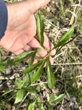
A photograph of the species Arisaema dracontium, not of this specimen1890Arisaema dracontium (L.) SchottPlantaeGreen SpringsH. C. Beardslee Sr.F V0462483F
A photograph of the species Parus bicolor, not of this specimen1891Parus bicolor bicolor Sibley & Monroe, 1990AnimaliaTiffinCross, WROM ROMO55900
A photograph of the species Pluvialis dominica, not of this specimen1891Pluvialis dominica dominica (P.L.S.Müller, 1776)AnimaliaTiffinCross, WROM ROMO37844
A photograph of the species Ambloplites rupestris, not of this specimen1893Ambloplites rupestris (Rafinesque, 1817)AnimaliaSandusky River, Tiffin, OhioWoolmanUSNM USNM 69679
A photograph of the species Cambarus rusticus, not of this specimen1893Cambarus rusticus Girard, 1852AnimaliaTiffin, Sandusky RiverUnited States Fish CommissionUSNM USNM 20828
A photograph of the species Etheostoma blennioides, not of this specimen1893Etheostoma blennioides Rafinesque, 1819AnimaliaSandusky River, Tiffin, OhioWoolmanUSNM USNM 69625
A photograph of the species Etheostoma caeruleum, not of this specimen1893Etheostoma caeruleum Storer, 1845AnimaliaSandusky River, Tiffin, OhioWoolmanUSNM USNM 69614
A photograph of the species Etheostoma nigrum, not of this specimen1893Etheostoma nigrum Rafinesque, 1820AnimaliaSandusky River, Tiffin, OhioWoolmanUSNM USNM 69618

The townships, in 1886

1,182,342 words

History of Seneca County, Ohio, Containing a History of the County, Its Townships, Towns, Villages ... Portraits of Early Settlers and Prominent Men; Biographies; History of the Northwest Territory; History of Ohio; Statistical and Miscellaneous Matter, Etc., Etc devotes a chapter to each township: its boundaries and streams, who settled it and when, the mills, the schools and the churches. All 2 are reproduced here in full. Each row shows the township's own shape and where it lies in the county, drawn from the Census Bureau's boundary. Which settlements belong to which township is computed from that same boundary, not taken from the book.

Shape and position in the county TownshipSettlements in it LengthSections
Seneca TownshipBerwick942,316 words821
Thompson TownshipFireside, Flat Rock, Frank, Thomsontown240,026 words14

The people it describes

481 named

Everyone History of Seneca County, Ohio, Containing a History of the County, Its Townships, Towns, Villages ... Portraits of Early Settlers and Prominent Men; Biographies; History of the Northwest Territory; History of Ohio; Statistical and Miscellaneous Matter, Etc., Etc stops to write about, with the section that describes them. Among them are the men who founded the place and governed the Territory. Each name opens the passage itself, in the words of 1886.

Every populated place in the county

51

Named settlements recorded in the Geographic Names Information System, each with the topographic sheets covering it. Villages, hamlets and abandoned places alike. Each is shown with the watercourse or landform it stands on and the survey quadrangle it falls on. The 2 places that were also surveyed for fire insurance come first, with the number of atlases and photographs held for them.

Recorded here

Tiffin, Ohio

11 topographic sheets and 8 fire insurance atlases, 1887 to 1949

Attica, Ohio

12 topographic sheets and 6 fire insurance atlases, 1897 to 1938

Everything this county holds

The complete index, with nothing left out. Each of these is a separate record with its own page: a federal survey report, or the case file that argued a property on to the National Register. Both are public domain and reproduced word for word.

Surveyed structures

3 structures

Nomination case files

35 case files

The vanished settlements of Seneca County, the places these records name that are no longer on the map.

Provenance

  • Topographic sheets. USGS Historical Topographic Map Collection, county index, measured from the bulk metadata.
  • Fire insurance maps. Library of Congress Sanborn collection, faceted to this county.
  • Photographs. Each place queried individually against the Library of Congress Prints and Photographs search.
  • Wildfire. Short, Karen C. 2022. Spatial wildfire occurrence data for the United States, 1992-2020 [FPA_FOD_20221014]. 6th Edition. Fort Collins, CO: Forest Service Research Data Archive. https://doi.org/10.2737/RDS-2013-0009.6 Collected with United States Government funding and usable without additional permissions or fees.
  • Specimens. Global Biodiversity Information Facility (GBIF), https://www.gbif.org/. Only records licensed CC0 or CC BY are used. Records licensed CC BY-NC are excluded because this site carries advertising. Images are checked individually and any whose licence is non-commercial, no-derivatives or unreadable is refused.
  • Mines and quarries. USGS Mineral Resources Data System (MRDS) https://mrdata.usgs.gov/mrds/ A work of the United States government, no copyright under 17 U.S.C. 105.
  • Storms. NOAA National Centers for Environmental Information, Storm Events Database https://www.ncei.noaa.gov/stormevents/ A work of the United States government, no copyright under 17 U.S.C. 105. Narratives are quoted verbatim from the National Weather Service report and are not edited or summarised.