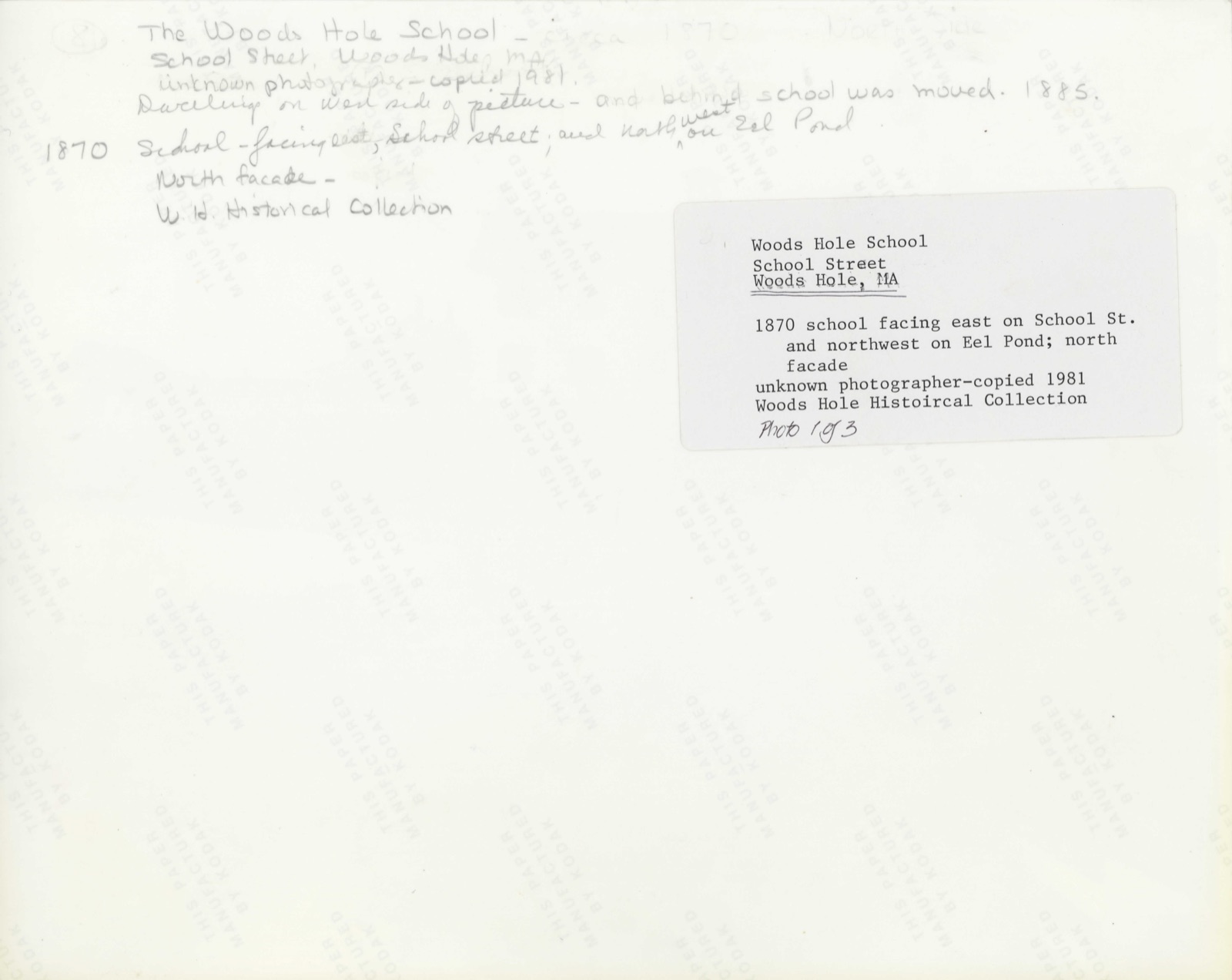
Photographs from the nomination case file, National Park Service records.
Warren First Congregational Church--Federated Church
Listed on the National Register of Historic Places in
2004. A historic map-sheet match is not published yet. The record needs a coordinate-quality review before it can be joined to a sheet boundary.
From the record
one of 500 National Register listings in Worcester County · listed in 2004 · category: Building · one of 1 National Historic Landmarks in Worcester County.
National Register reference number.82000473- the number the National Park Service assigned this property when it was listed, and the key its nomination file is catalogued under at the National Archives.
Storms near this property
24 since 1995
Regional context, not property-specific
evidence. The National Weather Service names
Warren, the town this property stands in, in 24 storm reports between 1995 and 2025: 13 thunderstorm wind, 6 hail, 3 flood, 1 heavy rain.
No death or injury is recorded in these reports. Each account below is quoted exactly as the forecast office
filed it, from the NOAA Storm Events Database, and each date
opens the federal record of that event.
A beaver dam on a pond had a catastrophic failure. This sent a substantial amount of water down a stream and into the Quaboug River, flooding Route 67 and damaging it extensively. One family was evacuated and the house sustained minor damage.
In Warren, Ware Road at Main Street was flooded and impassable. Probably had to do with the School Street Brook. Also the area around 1300 Main Street was flooded.
Severe thunderstorms affected parts of central and western Massachusetts with large hail and gusty winds. In Hampshire County dime-size hail fell and trees and wires were knocked down blocking roads in the town of Ware. Trees were blown down in Hardwick and Warren in Worcester County. Trees were also reported blown down and one house damaged in the Pittsfield area of Berkshire County. In Hampden County trees were blown down in Agawam, Westfield, and South Hadley. A window was smashed by flying debris in a house in South Hadley, and traffic signs were blown down in West Springfield. Power outages affected up to 6,000 electric customers in western Massachusetts. Lightning strikes started minor fires in some homes.
No historic map-sheet match is published
for this property yet. That does not mean no map exists. This record needs
a coordinate-quality review before it can be joined to a sheet boundary.
Browse the county's mapped places while that work is
pending.
From the nomination file
2,381 words on record
When this property was proposed for the
National Register, someone wrote the case for it: what the building is,
and why it matters. That document is a federal record in the public domain.
It is quoted below word for word, never summarised. The text was read off the scanned case file by machine, so the
occasional stray character is the recogniser's and the 1970s
typewriter's.
Description of the property
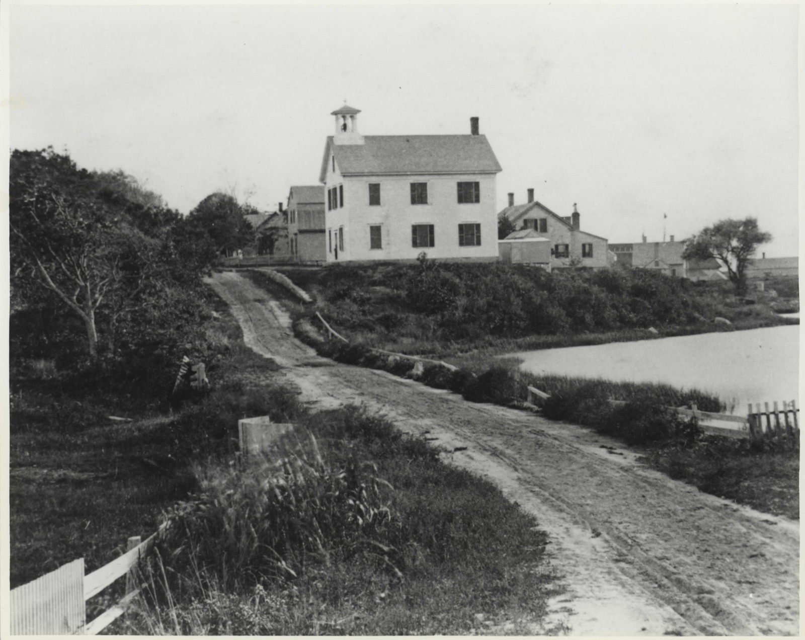
The Woods Hole School is located near the center of thé village of Woods Hole. It stands on approximately ½ acre site which fronts on School Street to the east and extends northwest to Eel Pond. In the general vicinity of the School are several late 19th century frame houses, a Bell Tower Sanctuary, and an array of scientific buildings belonging to the Woods Hole Oceanographic Institute and the Marine Biological Laboratory. The present schoolhouse is 2½ stories high (with a full basement at the rear) and is cruciform in plan with gabled wings. Vernacular Stick/Queen Anne styling is manifested in a frame structure sheathed in clapboard and decorated with wooden shingling and stickwork.
Shed roofed porches ornament the interior corners at the front (east side) of the building, while a two-stage cupola (complete with brass bell) surmounts the intersection of the roof gables. The north and south entrance porches are composed of turned posts, a geometric balustrade, and a lattice field supported by brackets. The cupola features a shingled base, hip roofs (bracketed at the first level), and louvered enclosures..: Horizontal bands encircle the regular, 6 over 6 fenestration of the schoolhouse. Een- estration is further articulated by plain wooden corner boards and friezes, and ver- tical stickwork on the second story of the north/south wings. Each gable field contains a long tripartite window, decorated with a fancifully sawnskirt on the south, west, and north gables.
As originally constructed in 1870, the Woods Hole School was a two room, 2½ story wooden structure with a front gable, small cupola, and.center entrance. The vernacular Ital- ianate influence of this design was revealed in the open arcades of the cupola and the simole wooden cornices over the facade windows, which remain on the present structure.
/Architect S.D.Kelley, architect; Statement of Significance (in one paragraph) Mead, Mason & Co., builder (1885) The Woods Hole School retains integrity of design, materials, workmanship, setting, and location. The schoolhouse is significant for its role in the education of the community and for its role in summer science activities. It is also a fine example of Victorian institutional architecture in the town and one of its few extant examples; it meets criteria A and C of the National Register. Up to the middle of the 19th century, the village of Woods Hole consisted of less than 40 houses, no church, and a small school which doubled as a meeting hall.
In recogni- tion of slowly increasing development, in 1851 Joseph Fay, a prominent citizen of Woods Hole, gave the Town of Falmouth "a lot of land for the erection of a School house and for such other public purposes as may seem proper and desirable for the use of the in- habitants of Woods Hole." By the time of the 1858 Walling map, the site was labelled "school" on an inset of the village. Three houses were located on this piece of Fay property at the time. One built about 1846, was used as a school for an undocumented period of time before it was sold and moved in 1885; the other two buildings were also moved by 1885. Town meeting voted in 1870 to authorize a conmittee either to sell the existing school- house, to add to it, or to build a new 'structure.
Apparently a new schoolhouse was agreed upon, for an 1874 indenture between Mr. Fay and the Falmouth Selectmen was nec- essary to enlarge the lot on which a new schoolhouse is stated to have been built.
Quoted from the National Register nomination
for reference 82000473, 13 pages, held by the National Archives in Record
Group 79. See the
catalogue record.
Listing record. National Park Service National Register of Historic Places, listed-properties dataset, current to 2026-05-22.
Map join. Address geocoded through the United States Census geocoder, then tested against the published boundary of every sheet in the USGS Historical Topographic Map Collection.
How this page is made. Listing fields come from federal records; map-sheet coverage is a labelled coordinate-to-boundary calculation, not a source-field claim.
Storms. NOAA National Centers for Environmental Information, Storm Events Database https://www.ncei.noaa.gov/stormevents/ A work of the United States government, no copyright under 17 U.S.C. 105. Narratives are quoted verbatim from the National Weather Service report and are not edited or summarised.
 Block
Block