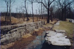
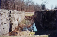
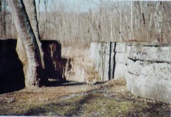
Photograph by National Park Service, Public domain. Via
Wikimedia Commons.
Stanford, George, Farm
Listed on the National Register of Historic Places in
1982. A historic map-sheet match is not published yet. The record needs a coordinate-quality review before it can be joined to a sheet boundary.
From the record
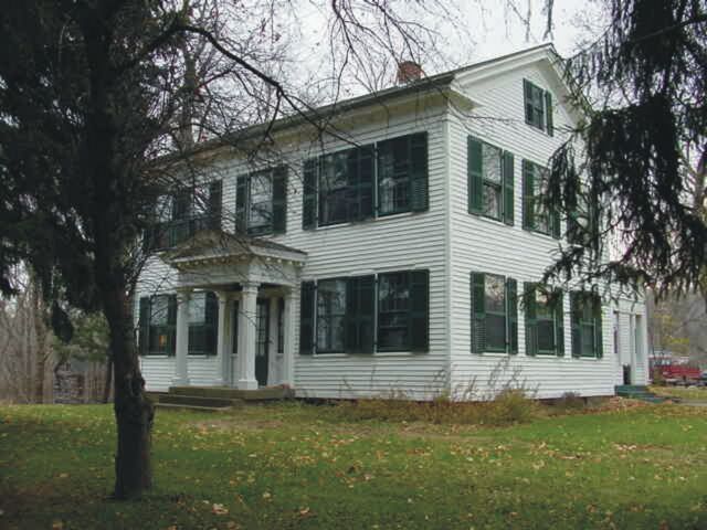
“The George Stanford Farm is a historic farm at 6093 Stanford Road in Boston Township, Ohio, within the boundaries of Cuyahoga Valley National Park. The farm, which overlooks the Cuyahoga River and Ohio and Erie Canal, was settled in 1806 by James and Polly Stanford and their children.”
Wikipedia article George Stanford Farm, CC BY-SA 4.0.
one of 137 National Register listings in Summit County · listed in 1982 · category: Building · one of 1 National Historic Landmarks in Summit County.
National Register reference number.82001874- the number the National Park Service assigned this property when it was listed, and the key its nomination file is catalogued under at the National Archives.
its firet officers were Timothy Bishop, Andrew Johnson and Aai'on Miller, trustees; William Beers, clerk; Launcelot May, treasurer; Alfred Wolcott and Moses Cunningham, justices of the peace, and James Jordan, constable. More than 140 men of Boston township fought for the Union in the war of 1861-65, the most distinguished of whom was Colonel Arthur L. Conger. On July 4, 1889, Colonel and Mrs. Conger presented to Boston Town- .ship the fine soldiers' monument which stands in the village of Peninsula at its western border. Peninsula has an extensive flour-mill and, in the southern part of the village, a large stone-quaiTy of a fine-gi'ained, white .sand-stone, from which mill-stones are made. Boston has saw-mills and the great papermills of the Akron-Cleveland Paper Bag Company, the power for which is partly secured from a large dam thrown across the Cuyahoga River. Colonel A. L. Conger aaid Hon. S. P. Wolcott are the Boston citizens who have earned for themselves the greatest fame. At the present time Charles Peterson is clerk and E. B. Conger and N. B. Wise are justices of the peace.
Regional context, not property-specific
evidence. The
federal wildfire occurrence database
lists 11 fires within 5 miles of Stanford, George, Farm between
1993 and 2012, burning about 4 acres in total. 2 started naturally. 2 were recorded as arson.
Distance is straight-line from the map coordinates, so a fire counted
here may appear on a neighbouring settlement's page as well.
Reported cause
Fires
Debris and open burning
3
Natural
2
Arson/incendiarism
2
Missing data/not specified/undetermined
2
Power generation/transmission/distribution
1
Recreation and ceremony
1
The most recent of
them, most recent first, with the day each was reported and the service
that recorded it.
Regional context, not property-specific
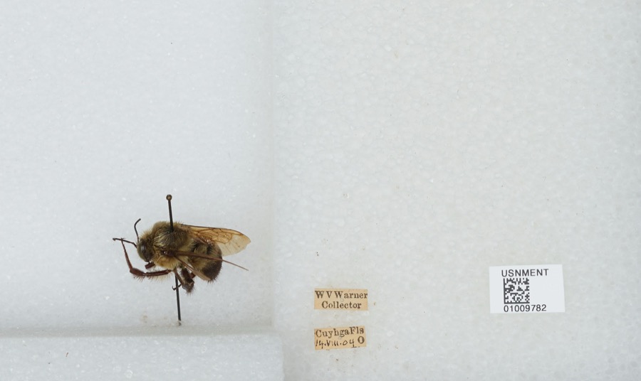
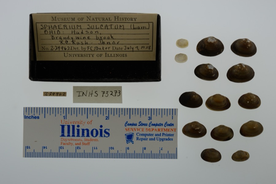
evidence. Museums hold 856 specimens
collected within 10 miles of Stanford, George, Farm between 1877 and
1973: 821 Animalia, 24 Plantae, 11 Fungi. 12 distinct Species records are shown.
Collected by A. Black, A. Hall, Adams J. M. R. and others. Each is a
physical object with a catalogue
number, and each entry opens the museum's record. This is what was
collected and kept, not a survey of what lives here - nothing can be
concluded from a species being absent.
Regional context, not property-specific
evidence. The National Weather Service names
Peninsula, the town this property stands in, in 10 storm reports between 1995 and 2024: 7 thunderstorm wind, 1 hail, 1 lightning, 1 flash flood.
The reports record 9 injuries. Each account below is quoted exactly as the forecast office
filed it, from the NOAA Storm Events Database, and each date
opens the federal record of that event.
Nine boys ages 11 to 14 were injured when lightning struck a tree near their campsite. All of the injuries were minor. The boys were staying at a campground in Boston Township.
A thunderstorm with torrential rain produced 2.25 of rain, most of which fell within 30 minutes between 606 PM and 636 PM. Flooding commenced shortly thereafter around 640 PM. Storm drains were overwhelmed with water over a foot deep filling in streets. Roads flooded include Morris Drive, Woodland Drive, I-271 underpass, with minor damage to Riverview Road.
No historic map-sheet match is published
for this property yet. That does not mean no map exists. This record needs
a coordinate-quality review before it can be joined to a sheet boundary.
Browse the county's mapped places while that work is
pending.
From the nomination file
2,760 words on record
When this property was proposed for the
National Register, someone wrote the case for it: what the building is,
and why it matters. That document is a federal record in the public domain.
It is quoted below word for word, never summarised. The text was read off the scanned case file by machine, so the
occasional stray character is the recogniser's and the 1970s
typewriter's.
Description of the property
fixed transom. The historic six-over-six shuttered windows survive. Nonhistoric run stair connecting the lower and upper stairhalls. Opposite the main entry There pilasters.Two half-width chamfered pilasters frame sidelights (now boarded is a doorway leading to the south L-shaped porch.To the north -RUINS Form No. 10-300a (Rev. 10-74) UNITED STATES DEPARTMENT OF THE INTERIOR NATIONAL PARK SERVICE NATIONAL REGISTER OF HISTORIC PLACES DATE ENTERED INVENTORY - NOMINATION FORM CONTINUATION SHEET connecting the front stairhall of the main block to the rear kitchen. the front stairhall of the main block to the rear stairhall of the ell.
Two storage rooms and an unfinished space over the kitchen all open off the rear stairhall which connects the second level of the ell to the kitchen below. The main block of the house has a full attic. The ell has a partial attic. The house, as it presently exists, is essentiallly the same as it was in 1874 porch, the replacment of the east kitchen porch, and the recent addition of structures on the site include a Springhouse, HS-442A (see Illustration No. 6); a Garage, HS-442B, not as old as the house; a larbe Barn, HS-443 (see HS-444 (see Illustration No. 8); a brick Smoke House, HS-445 (see Illustration 150 feet north of the house. no longer extant, that was located east of the house at the approximate location of the existing Barn (HS-443).
Historic fencing, gates, walks, drives, and features. the dining room and overhanging the south dining room porch below) which connects nonhistoric kitchen porch.
with a prominent Boston Township family. James Stanford, who Several years later, James Stanford joined a surveying party to remainder of their lives."1 According to one account, it was James Stanford who suggested the name of Boston Township, "and its acceptance happily ended a disputed question. "< Polly Stanford died in 1814, James in 1827.
Their son, George, 1900 ENGINEERING History 1700-1799 EDUCATION CONSERVATION PHILOSOPHY ARCHEOLOGY-PREHISTORIC ART SIGNIFICANCE BUILDER/ARCHITECT PERIOD POLITICS/GOVERNMENT THEATER LAW 1400-1499 TRANSPORTATION MILITARY SCULPTURE PREHISTORIC XARCHITECTURE _COMMUNICATIONS The George Stanford House is significant for its long association XAGRICULTURE LITERATURE agricultural heritage and preserve intact a fine nineteenth-century INDUSTRY large Greek Revival farmhouse, perhaps upon his marriage to Catherine Cuyahoga River. farm in the Cuyahoga Valley.
INVENTION -1500-1599 with his family in March 1806,"taking 169 acres upon the west bank George Stanford, and grandson, George C.Stanford, both served .SCIENCE settled the property in 1806,was a member of the party that .RELIGION -1600-1699 Pub1ishing Company,1908),p.854. George Stanford (1800-1883) was born in Beaver County, Pennsylvania, SPECIFIC DATES C. 1830 surveyed the township and reputedly suggested its name. His son, for many years in various township oflices.
Architecturally, the County, Ohio, and Representative Citizens (Chicago: Biographical outbuildings and rural environment illustrate Boston Towmship's EXPLORATION/SETTLEMENT house is a fine example of the Greek Revival style.Its associated Here they resided for the the family moved to Ohio and settled in Warren County) is in error; the Stanford Farm is located on the east bank of the to James and Polly Stanford.James had emigrated from of the Cuyahoga River, near Boston.
Quoted from the National Register nomination
for reference 82001874, 24 pages, held by the National Archives in Record
Group 79. See the
catalogue record.
Listed places nearby
6 within 8 miles
Other National Register properties close
enough to walk or drive between, ordered by distance from this one. Both
positions come from the same geocoding pass that matched these properties
to their map sheets.
Listing record. National Park Service National Register of Historic Places, listed-properties dataset, current to 2026-05-22.
Map join. Address geocoded through the United States Census geocoder, then tested against the published boundary of every sheet in the USGS Historical Topographic Map Collection.
How this page is made. Listing fields come from federal records; map-sheet coverage is a labelled coordinate-to-boundary calculation, not a source-field claim.
Wildfire. Short, Karen C. 2022. Spatial wildfire occurrence data for the United States, 1992-2020 [FPA_FOD_20221014]. 6th Edition. Fort Collins, CO: Forest Service Research Data Archive. https://doi.org/10.2737/RDS-2013-0009.6 Collected with United States Government funding and usable without additional permissions or fees.
Specimens. Global Biodiversity Information Facility (GBIF), https://www.gbif.org/. Only records licensed CC0 or CC BY are used. Records licensed CC BY-NC are excluded because this site carries advertising. Images are checked individually and any whose licence is non-commercial, no-derivatives or unreadable is refused.
Storms. NOAA National Centers for Environmental Information, Storm Events Database https://www.ncei.noaa.gov/stormevents/ A work of the United States government, no copyright under 17 U.S.C. 105. Narratives are quoted verbatim from the National Weather Service report and are not edited or summarised.
 Block
Block