Listed on the National Register of Historic Places in
1982. A historic map-sheet match is not published yet. The record needs a coordinate-quality review before it can be joined to a sheet boundary.
From the record
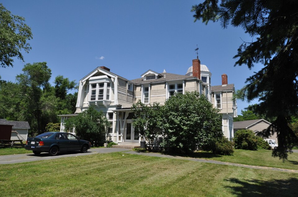
“The Walker-Collis House is a historic house at 1 Stadler Street in Belchertown, Massachusetts. Originally located facing the Belchertown Common, this 1880 Victorian, one of the most architecturally exuberant buildings in the town, was moved to its present location in 1976.”
Wikipedia article Walker-Collis House, CC BY-SA 4.0.
one of 32 National Register listings in Hampshire County · listed in 1982 · category: Building.
Architectural style. Queen Anne style architecture in the United States
National Register reference number.82001903- the number the National Park Service assigned this property when it was listed, and the key its nomination file is catalogued under at the National Archives.
This is situated about 150 rods southeast of the east end of the Holyoke main sheet of trap and 2,100 feet N. 47° E. of the house of H. Moody, on the Bay road in Belchertown. It is just south of the source of a brook and within the edge of the woods, rising in a small knoll. On the north edge the contact with the sandstone is well seen, and the baking of the latter is unusually severe. The alteration has hardly begun to decrease in the width exposed - above 10 feet. The coarse red sandstone is baked into a hard, light-gray graywacke, its mica and feldspar grains having been so affected by the heat that they have been removed by later infiltration, leaving pores coated with rust. Still nearer the contact the sandstone contains many white compact masses, which are in part hollow tubes and seem to be bones of a reptile of about the same size as that found in the sandstone at Springfield. The rock is here rendered hard and impervious, and this has favored the preservation of the bones. The specimens contain lime phosphate.
The second of the series of old craters or volcanic throats is exposed in a row of low knolls in the field opposite the house of J. A. Barrett, where the Bay road has just crossed the mountain toward Belchertown village and near the western line of the same township. The exposure is only about 15 rods long by 3 rods wide, with strike N. 60° E., and near at hand on all sides are abundant outcrops of conglomerate, which proves it to be an isolated deposit of limited extent. It agrees in all essentials with the rock of the newer intrusive dikes.
Regional context, not property-specific
evidence. The
federal wildfire occurrence database
lists 28 fires within 5 miles of Walker-Collis House between
2015 and 2020, burning about 33 acres in total. 1 started naturally. 1 was recorded as arson.
Distance is straight-line from the map coordinates, so a fire counted
here may appear on a neighbouring settlement's page as well.
Reported cause
Fires
Equipment and vehicle use
12
Missing data/not specified/undetermined
8
Debris and open burning
4
Railroad operations and maintenance
1
Arson/incendiarism
1
Natural
1
Recreation and ceremony
1
The most recent of
them, most recent first, with the day each was reported and the service
that recorded it.
Regional context, not property-specific
evidence. Museums hold 4,536 specimens
collected within 10 miles of Walker-Collis House between 1781 and
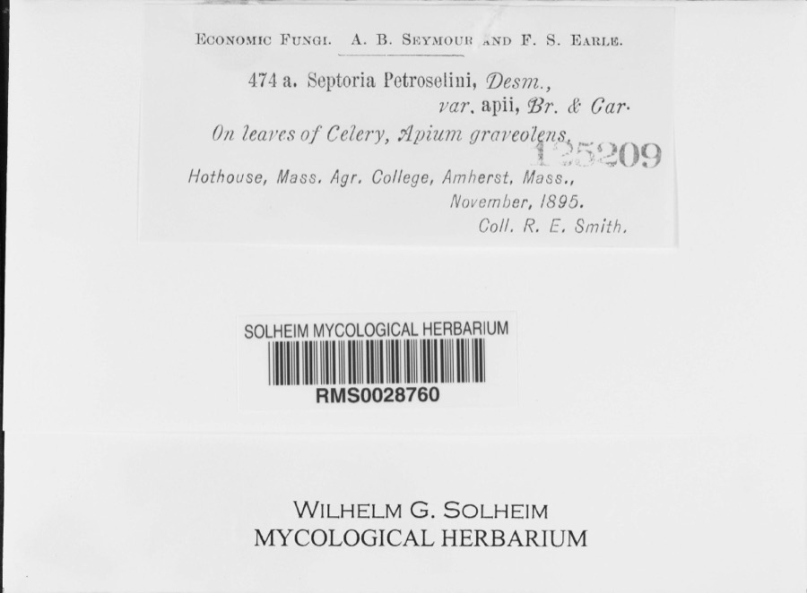
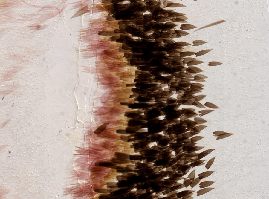
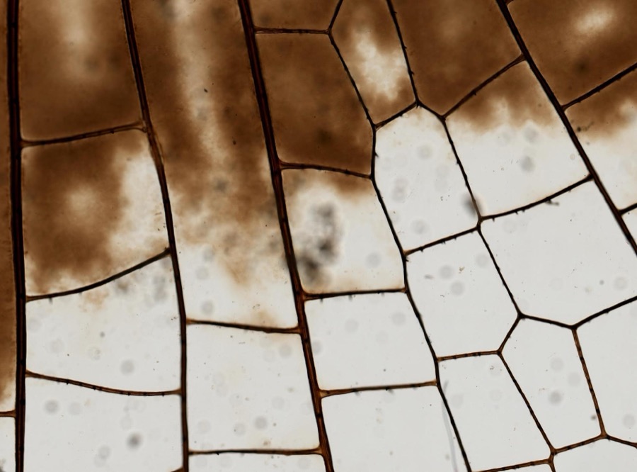
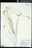
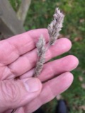
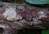
1975: 1,790 Plantae, 1,476 Fungi, 1,073 Animalia, 123 Chromista, 64 Protozoa, 9 Unrecorded, 1 Bacteria. 12 distinct Species records are shown.
Collected by A. Albee, A. Allen, A. B. Seymour and others. Each is a
physical object with a catalogue
number, and each entry opens the museum's record. This is what was
collected and kept, not a survey of what lives here - nothing can be
concluded from a species being absent.
Regional context, not property-specific
evidence. The federal mineral resources record lists
2 workings within 5 miles of Walker-Collis House: 2 past producers.
None of them still produces. What was taken out: Sand and Gravel, Construction. Distance is straight-line from the
map coordinates, so a quarry counted here may appear on a neighbouring
settlement's page as well.
Regional context, not property-specific
evidence. The National Weather Service names
Belchertown, the town this property stands in, in 42 storm reports between 1995 and 2025: 24 thunderstorm wind, 13 hail, 3 lightning, 1 heavy rain.
No death or injury is recorded in these reports. Each account below is quoted exactly as the forecast office
filed it, from the NOAA Storm Events Database, and each date
opens the federal record of that event.
In Belchertown, at least two basements were flooded. One and a half feet of water flooded basements on Dewey Street in Williamsburg. The Mill River overflowed its banks flooding lowlands near the edge of Meadow Street in Northampton. Basements flooded in Huntington along Route 20.
In Belchertown, a large tree and a large branch were down on wires on George Hannum Street. A tree was down on Bay Road. A large tree was down on wires on Hamilton Street. A tree was down on Warren Wright Road.
In Belchertown, a large tree was down, blocking Route 21 near the Ludlow line, per police. Also, a large tree and power lines were down on North Washington Street, per the fire department. Reports relayed by amateur radio.
Thunderstorms moving eastward through western and central Massachusetts during the late afternoon produced over one inch in some places. Heavy rain was reported from parts of Franklin and Worcester Counties. Pea-size hail was reported from Holden and Athol in Worcester County. More thunderstorms, some severe, moved through much of the same area during the evening and produced gusty winds, hail, and torrential rain. Trees were reported blown down in Warwick and golf ball-size hail fell in Belchertown. There were numerous reports of pea-size hail in Hampden and Hampshire Counties as well as a few reports of dime-size hail. Torrential rain amounted to 3.31 inches in Worthington in a two and one-half hour period ending at 2315 EST, resulting in flash flooding. A driveway was washed out and several partial street washouts were reported. Street flooding was reported in Franklin and Hampshire Counties, including the towns of Plainfield and Deerfield. The automated weather station at Orange recorded 0.41 inches of rain in 25 minutes. As the storms moved to the east, street flooding was reported in parts of Worcester County in the late evening, including Westboro.
No historic map-sheet match is published
for this property yet. That does not mean no map exists. This record needs
a coordinate-quality review before it can be joined to a sheet boundary.
Browse the county's mapped places while that work is
pending.
From the nomination file
2,752 words on record
When this property was proposed for the
National Register, someone wrote the case for it: what the building is,
and why it matters. That document is a federal record in the public domain.
It is quoted below word for word, never summarised. The text was read off the scanned case file by machine, so the
occasional stray character is the recogniser's and the 1970s
typewriter's.
Description of the property
The Walker-Collis House is a fine example of Queen Anne architecture, defined by its sprawling plan and idiosyncratic design, with predominant stick style elements. The highly unusual appearance of this buildinghas always attracted a great deal of attention, heightened by its location. Originally, the structure faced Belchertown Common; it now occupies a highly visible site of 1 1/3 acres on the corner of Stadler Street and U.S. Route 202 (State Street) leading into town. It stands 1/2 mile from its original site. The 2-story house is built upon a complex and highly irregular plan. Horizontal clap- superimposed horizontal and vertical timbers. This interwoven basketry of timbers mit 1, t ra in e gories, mo in cae ro ne (eace e ayg n oml one (a two-story porch) in the back (east).
These porches, though now glass-enclosed, still evoke a sense of the original, open-to-the-air appearance. The main entrance, a massive oak double door, is partially hidden within the righthand side front porch. The roofline departs from the steeply pitched gable and cross gable prototype of the Eastern Stick Style. Instead, there is a steep mansard roof with gambrel gables project- ing from the west (front) and south facades. The upper slope of the mansard roof is new asphalt shingles; the lower slope, which enveloped the second floor, is covered by alternating bands of decorative hexagonal and rectangular wooden shingles.
Other roofline ornamentation includes a bracketed cornice, narrow dormer windows, and an unusual carved panel depicting the sun which is located on the west wing of the facade. The Queen Anne windows are characteristically tall and narrow. The muntins divide the panes into various sized rectangles, reiterating the pattern formed by the exposed wall framing. An oriel window juts out prominently from the second floor of the west (front) gable.
/Architect Henry Hoag (builder) Statement of Significance (in one paragraph) The Walker-Collis House retains integrity of design, materials and workmanship. The property is significant for its associations with a local politician and socialite and as an outstanding example of the Queen Anne and Stick Styles in the area. The House thus meets criteria B and C of the National Register. The Walker-Collis House was built in 1880 as a summer residence for Massachusetts State Senator Myron Walker (1846-1911). Walker was a native of Belchertown who spent a number of years in California and maintained his principal residence in New York-City. "Westview" , as the house was called, originally stood facing the Common, situated immediately north of the Methodist Church (31 Main Street).
It stood on the site of the old Joab Bartlett place, which Walker removed in order to build Westview. An underground pipe connected the huge gas plant in the basement of Westview with the bandstand on the Common; the gas plant reportedly lit street lamps along the Common as well. This "summer house" and its many elaborate furnishings, including the custom made furniture which complemented the interior woodwork, reportedly cost $30,000, an astounding figure to the humble citizens of this country town. (During this period, a fairly substantial and comfortable house would cost about $1,000.) Indeed, Mr. Walker's ostentatious display of his newly acquired wealth apparently alienated a number of Tocal residents, as this type of behavior went against the grain of their Yankee sensibilities. Mr.
Walker was quite fond of entertaining his Civil War friends. His $4,000 party in June of 1881, for example, was attended by Governor Long and 10,000 other guests (more than twice Belchertown's population).
Quoted from the National Register nomination
for reference 82001903, 12 pages, held by the National Archives in Record
Group 79. See the
catalogue record.
Listing record. National Park Service National Register of Historic Places, listed-properties dataset, current to 2026-05-22.
Map join. Address geocoded through the United States Census geocoder, then tested against the published boundary of every sheet in the USGS Historical Topographic Map Collection.
How this page is made. Listing fields come from federal records; map-sheet coverage is a labelled coordinate-to-boundary calculation, not a source-field claim.
Wildfire. Short, Karen C. 2022. Spatial wildfire occurrence data for the United States, 1992-2020 [FPA_FOD_20221014]. 6th Edition. Fort Collins, CO: Forest Service Research Data Archive. https://doi.org/10.2737/RDS-2013-0009.6 Collected with United States Government funding and usable without additional permissions or fees.
Specimens. Global Biodiversity Information Facility (GBIF), https://www.gbif.org/. Only records licensed CC0 or CC BY are used. Records licensed CC BY-NC are excluded because this site carries advertising. Images are checked individually and any whose licence is non-commercial, no-derivatives or unreadable is refused.
Mines and quarries. USGS Mineral Resources Data System (MRDS) https://mrdata.usgs.gov/mrds/ A work of the United States government, no copyright under 17 U.S.C. 105.
Storms. NOAA National Centers for Environmental Information, Storm Events Database https://www.ncei.noaa.gov/stormevents/ A work of the United States government, no copyright under 17 U.S.C. 105. Narratives are quoted verbatim from the National Weather Service report and are not edited or summarised.
 Block
Block