352 topographic sheets and 67 fire insurance
atlases across 11 places.
Research this county
This curated hub for Hampshire County, Massachusetts brings together the page's documented record links, visible map or image evidence where published, and routes to related local records.
Use the page's provenance and linked records to distinguish the source material from the site's navigation and summaries.
How should I cite it?
Open the original record, preserve its repository and identifier, then use the citation tool for this page as a path back to the source.
Where should I go next?
Follow the county or state hub for related places and records, then use the guide for a source-aware research sequence.
From the record
“sooner on the west side of the river, whose coming being perceived, 5 men went out of town, and although pursued by 20 Indians, carried over a boat which was filled with men, but the Indians standing on the river's bank shot at them and shot one through the neck (who is not like to recover.) They durst not adventure to pass the river, till Maj.”
History Of Hadley 145 - Geology of Old Hampshire County, Massachusetts : Comprising Franklin, Hampshire, and Hampden Counties (1898). Machine-read text.
32 National Register listings · 80 businesses named in the fire insurance atlases from 1884 to 1918 · the 1898 county history tells 18 stories and names 17 people · people the book names include General Besceiption (Ware Town, 1898) · James Cornish History Of Hadley 55 (Hatfield Town, 1905) (machine-read).
Massachusetts within the United StatesHampshire County within Massachusetts
Explore by year
What the record shows
11 places in this county were surveyed for fire insurance: Amherst, Belchertown, East Hampton, Northampton, South Hadley, South Hadley Falls, Ware, Florence, Hadley, Hatfield, Huntington, between 1884 and 1950.
67 fire insurance atlas(es) survive for the county. Topographic coverage is national; fire insurance survey reached only incorporated places with something worth insuring.
3,333 topographic sheet readings cover the county's settlements.
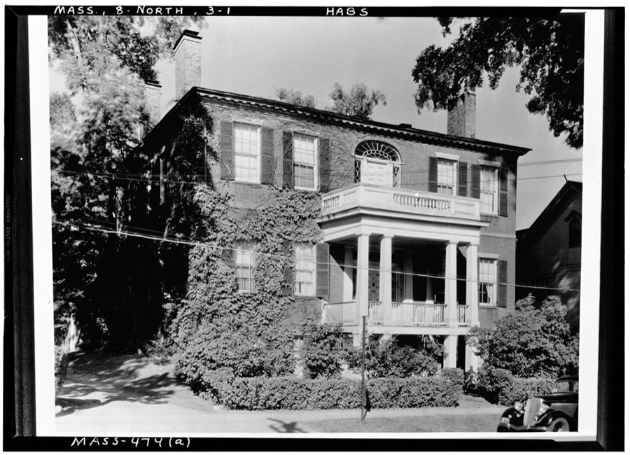
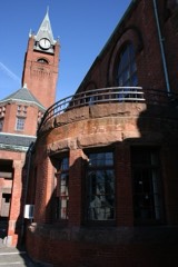
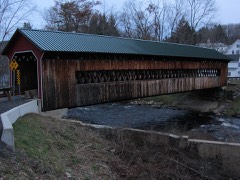
32 properties here are on the National Register of Historic Places, including 1 covered bridge, 5 historic districts, 8 houses and farms.
7 of the 32 listings were added during the 1970s.
The Geographic Names Information System records 87 populated places in this county; 0 are covered by at least one topographic sheet.
5 public-domain county histories, 1834 to 1924, supply 550,615 words of narrative reproduced here in full.
What happened here
18 accounts
A captivity, a drowning, a famine, a man
scalped clearing his lot in 1789. These are passages from Geology of Old Hampshire County, Massachusetts : Comprising Franklin, Hampshire, and Hampden Counties, written
while people who remembered the events were still alive, and each one
opens the section it comes from.
1898, Pelham Town
The Hadley Lake Drainage
The last of the considerable deposits (m t) at hig-h level on the eastern side of the valley dependent upon the obstructed drainage which attended the retreat of the ice occupies the long, narrow valley along the west border of the Belchertown quadrangle, which runs north by the village of Leverett, along Pond Brook, and past the entrance to "Rattlesnake Gutter," and extends south across the town line into Shutesbury, skirting Mount Boreas on the east and ending just south of this mountain, where, south of 42° 25', the north branch of Fort River, which occupies the lake's former outlet, passes into a canyon to reach the open valley above East Street village, in Amherst.
The letter referred to is in this volume. It is from Rev. Solomon Stoddard, then minister at Northampton, dated Sept. 15, 1675. It is a long letter, reciting minutely the movements of the contending forces in the valley. Stoddard tells of the disarming of the near-by Indians, August 24th, the affair at Sugar Loaf, August 25th, and says, "We heard no more of the Indians till the first of September, when they shot down a garrison soldier at Pocumtuck, that was looking after his horse, and ran violently up into the town, many people having scarcely time enough to get into the garrison: that day they burnt most of their houses and barns, the garrisons not being strong enough to sally out upon them, but killed two of their men from their forts." He gives a full account of the tragic events which accompanied the distruction of Northfield, September 2-6; the second attack on Deerfield September 12th; the relief expedition, September 13th, and the arrival of Captain Moseley at Hadley, September 14th.
Pocomptuck * that was looking after his horse, and ran violently up into the town, many people having scarcely time enough to get into the garrisons. That day, they burnt most of their houses and barns, the garrisons not being strong enough to sally out upon them, but killed two of their men from the forts.
sooner on the west side of the river, whose coming being perceived, 5 men went out of town, and although pursued by 20 Indians, carried over a boat which was filled with men, but the Indians standing on the river's bank shot at them and shot one through the neck (who is not like to recover.) They durst not adventure to pass the river, till Maj.
women behind them, and some had children in their arms, and when they were near Pecowsick brook, 7 or 8 Indians in the bushes fired upon the hindmost and killed a man and a maid, wounded others, and took two women with their babes, and retired into a swamp.* Those forward rode some distance towards Springfield, set down the women and maids, and then returned, but could not find the two women and children.
would do, against the hostile Indians, and they are found in the letters and histories of that day. Some of these came from New York and Albany, and from Gov. Andros himself, and some were derived from the "confessions" of Indian captives. No reliance can be placed on these reports and hearsays. There is no evidence that the Mohawks came into New England and killed any hostile Indians.
These few lines are to let you understand that we are arrived at Albany now with the captives, and we now stand in need of assistance, for my charges is very great and heavy; and therefore any that have any love to our condition, let it move them to come and help us in this strait. Three of the captives are murdered, - old Goodman Plympton, Samuel Foot's daughter, Samuel Russell.
The appearance of Gen. GofFe at Hadley, Sept. i, 1675, when the Indians attacked the place, is noticed on pages 137-139, with some remarks of President Stiles. His supposition, that the people in the meeting-house were "suddenly surrounded and surprised by a body of Indians," must be unfounded. The Indians, with a defenceless village a mile in length before them, would not have surrounded a building which contained thirty or forty armed men.
The second Indian War, 1688 to 1698 - Six persons killed at Northfield - Presents to the Maquas - Destruction of Schenectady - Troubles with Albany Indians - Persons killed at Deerfield and Brookfield - Murder of Richard Church of Hadley, and trial and execution of two Indians - Attack in Hatfield meadows - Expenses of the war - Pay of soldiers - The war in Hampshire - Hampshire soldiers - Taxes - Palisades - Contributions.
Mowenas and Moquolas were indicted as principals, and Wenepuck and Pameconeset as accessories. All the Indians from Hatfield and the vicinity were present. Each of the four was tried, and each was declared guilty by the jury. Only the principals were sentenced, and they were to be shot to death on the 23d of October, about 2, P.
regular business.* Noxious animals were hunted from necessity. Deer were more useful to men than all else that was hunted. As these animals were lean in winter, and the females produced their young in the spring, Massachusetts enacted in i6g8, that deer should not be killed between January ist and August ist.
A century later, 1766-1768, Timothy Dwight of Northampton, bought 50 hogs, which averaged 201 pounds. The price then and down to 1 775, was from 2|d. to 3d. per lb. ; many were sold at 4 coppers or 2fd. Deac. E.Hunt of Northampton killed a hog that weighed 335 lbs. in 1 774 - the first one over 300 lbs. recorded in this vicinity.
The war became exterminating, about 1828. Flocks of geese were driven some distance in the night, killed, and left in a pile. Heaps of dead geese were found east, west and south of the village, and above 60 geese are said to have been collected in one heap. The Academy boys and others destroyed a large portion of the geese in the village, and those kept after 1828 required much care and attention.
Wars, - 335; capture of Louisburg, 335; project for reducing Canada, 336; end of war, 336; list of killed from near Hadley, 337; list of Hadley men at fort No. 4, 337. - , Sixth Indian =French and Indian war(i754-63),337ff; begun, 337; exped. against Crown Point, 337; Mass. in Canada expeditions, 337; attacks on Mass.
These few lines are to let you understand that we are arrived at Albany now with the captives, and we now stand in need of assistance, for my charges is very great and heavy; and therefore any that have any love to our condition, let it move them to come and help us in this strait. Three of the captives are murdered, - old Goodman Plympton, Samuel Foot's daughter,Samuel Russell.
The appearance of Gen. GofFe at Hadley, Sept. i, 1675, when the Indians attacked the place, is noticed on pages 137-139, with some remarks of President Stiles. His supposition, that the people in the meeting-house were "suddenly surrounded and surprised by a body of Indians," must be unfounded. The Indians, with a defenceless village a mile in length before them, would not have surrounded a building which contained thirty or forty armed men.
go up to the falls-fight, the town voted to pay for damage in person and estate, if the colony failed to pay. Jonathan Wells was severely wounded, and was a long time under the care of Mr. Bulkley, the surgeon, at Wethersfield. Massachusetts did not pay all the expense, and Hadley paid some pounds.
The second Indian War, 1688 to 1698 - Six persons killed at Northfield - Presents to the Maquas - Destruction of Schenectady - Troubles with Albany Indians - Persons killed at Deerfield and Brookfield - Murder of Richard Church of Hadley, and trial and execution of two Indians - Attack in Hatfield meadows - Expenses of the war - Pay of soldiers - The war in Hampshire - Hampshire soldiers - Taxes - Palisades - Contributions.
Taken for the Office of War Information and
the Farm Security Administration, who photographed the country between
1935 and 1944. Works of United States government photographers, with no
known restriction on use. Each opens its catalogue record.
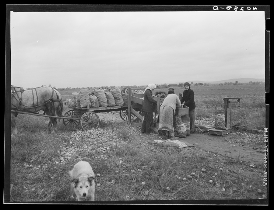
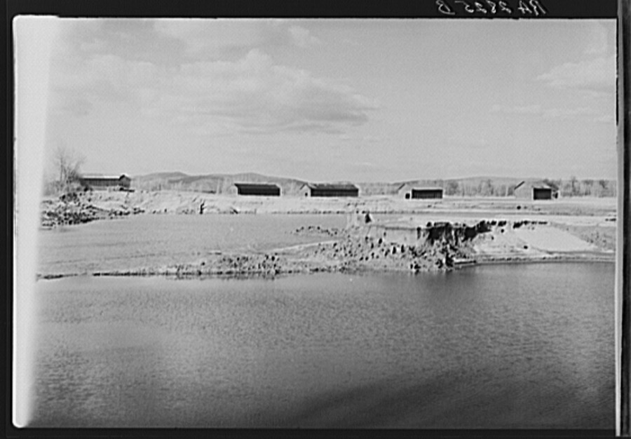
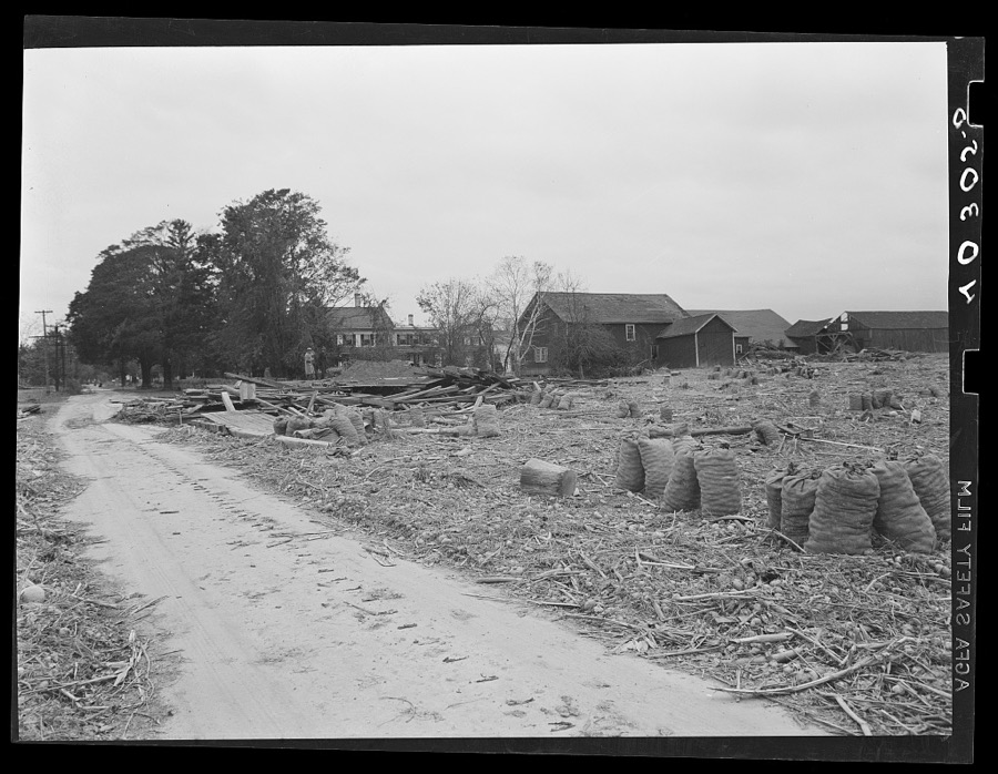
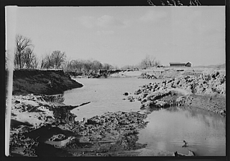
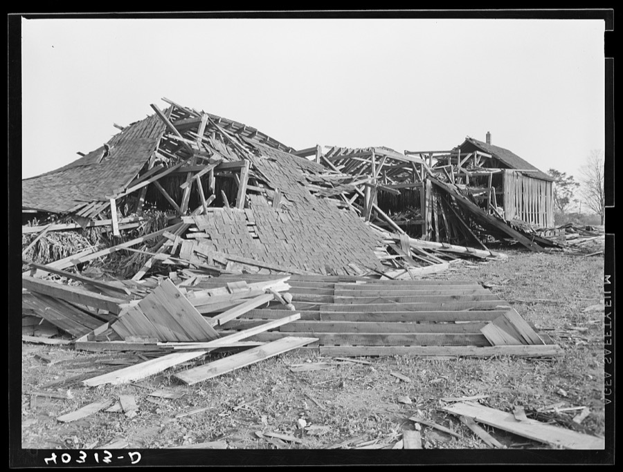
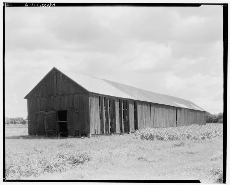
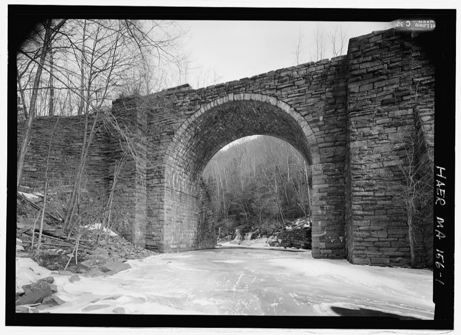
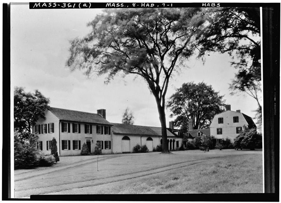
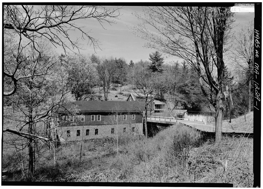
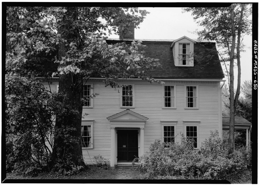
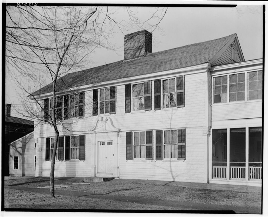
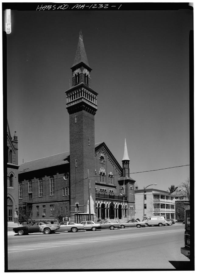
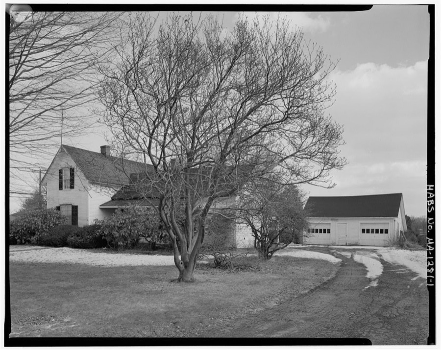
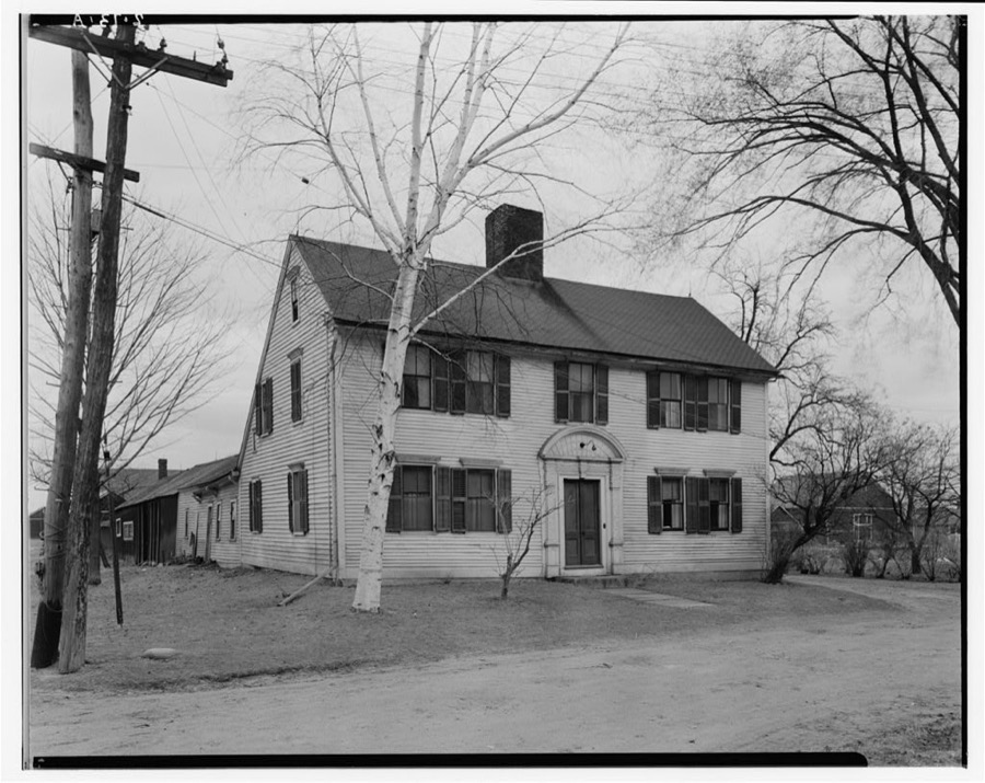
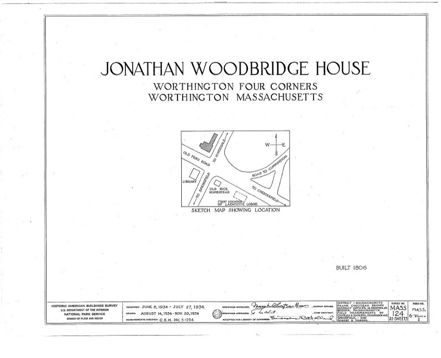
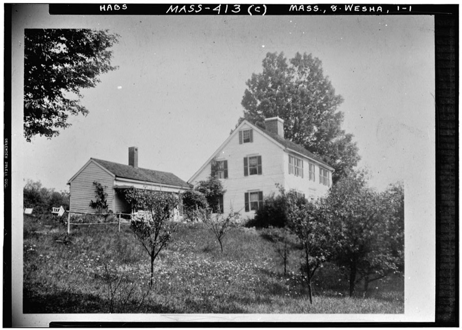
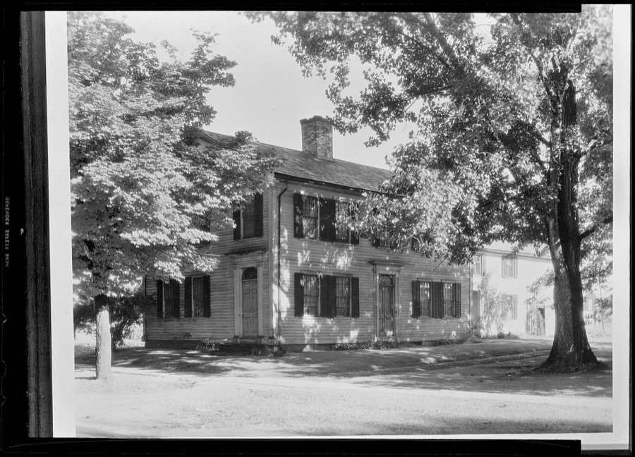
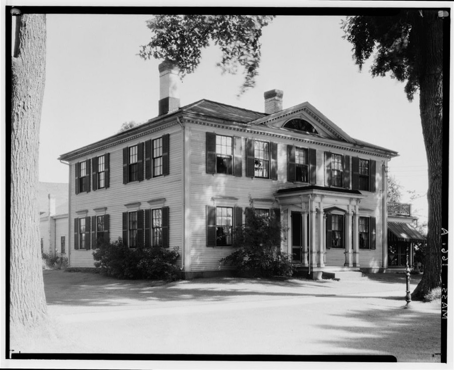
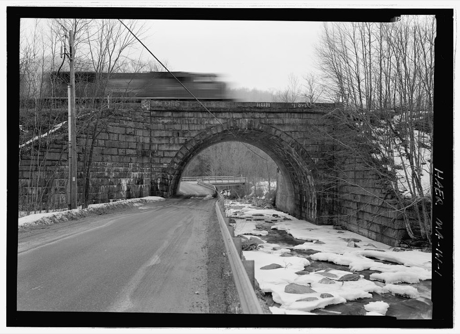
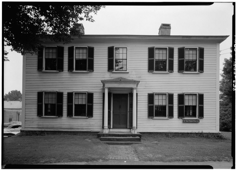
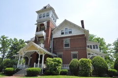
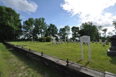
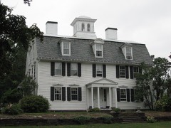
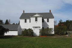
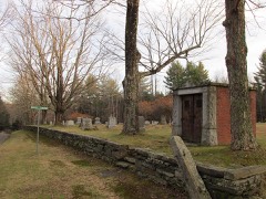
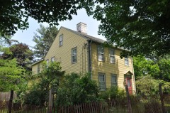
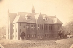
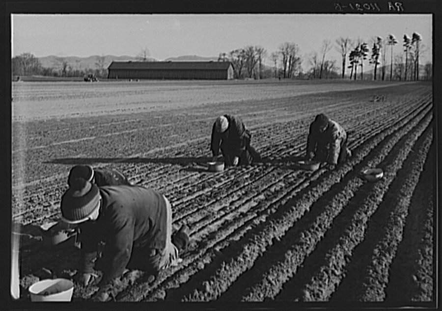
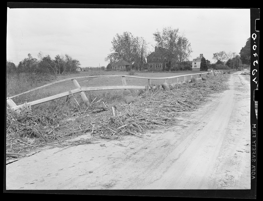
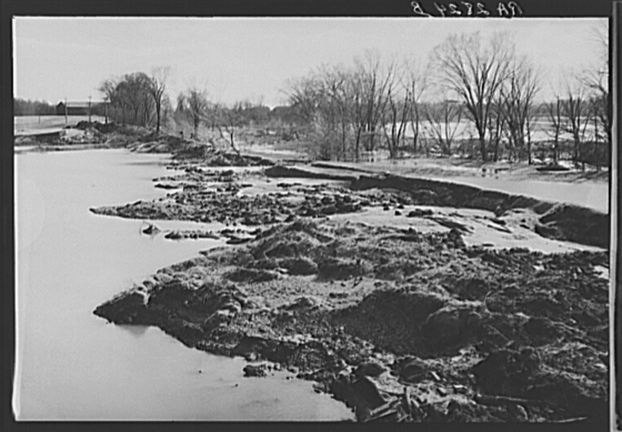
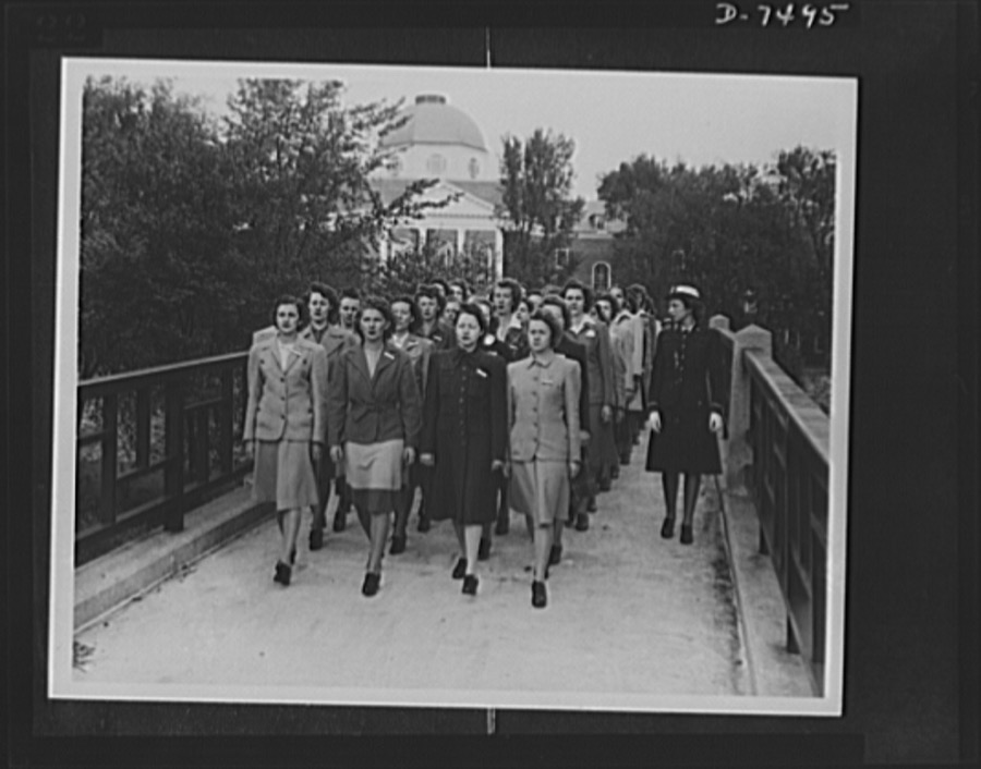
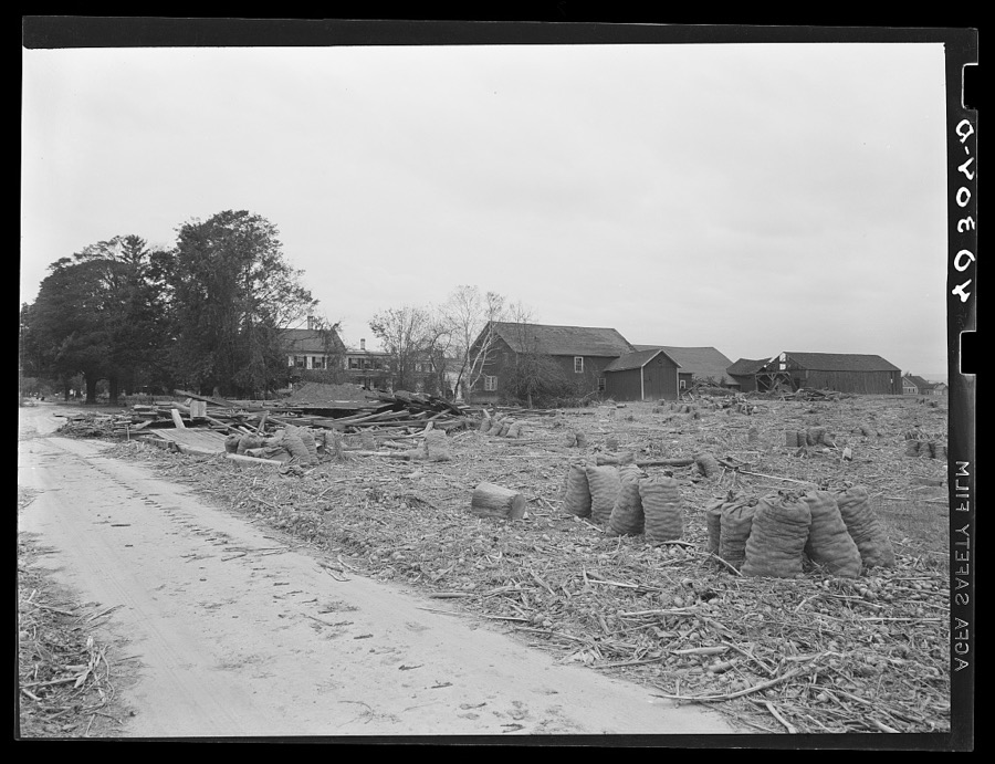
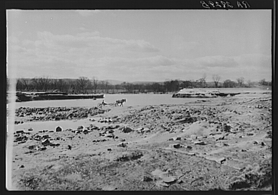
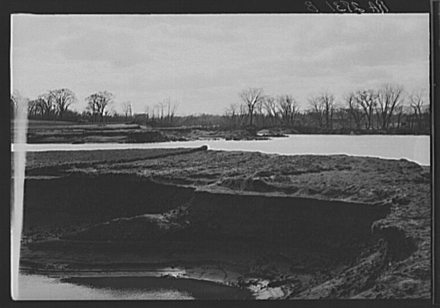
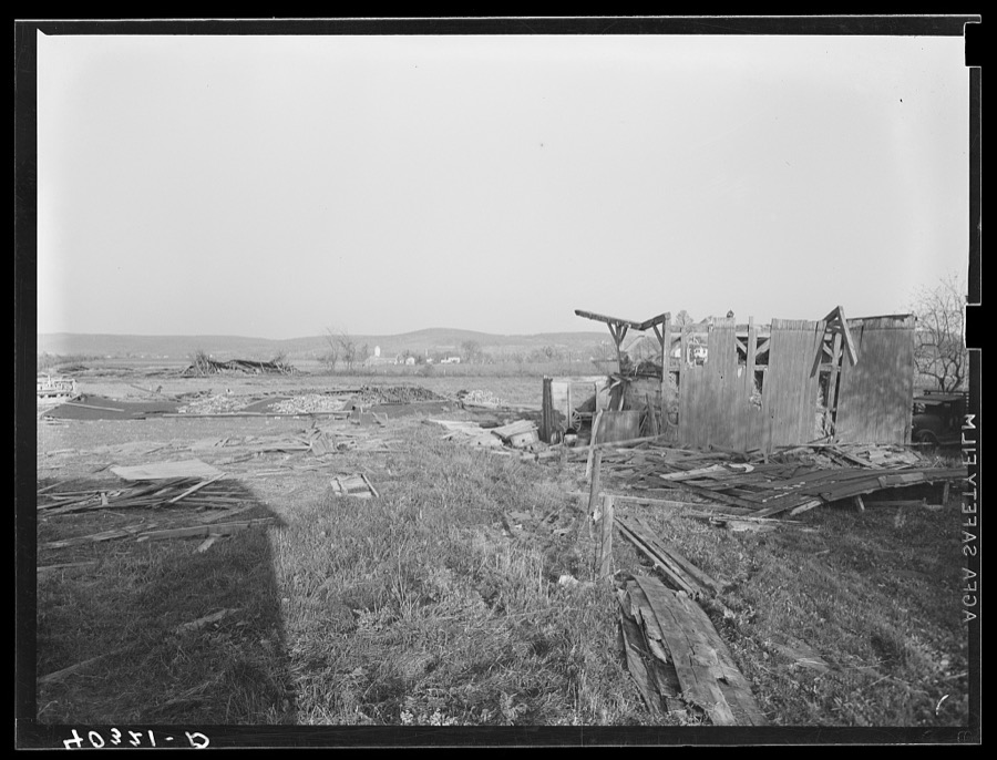
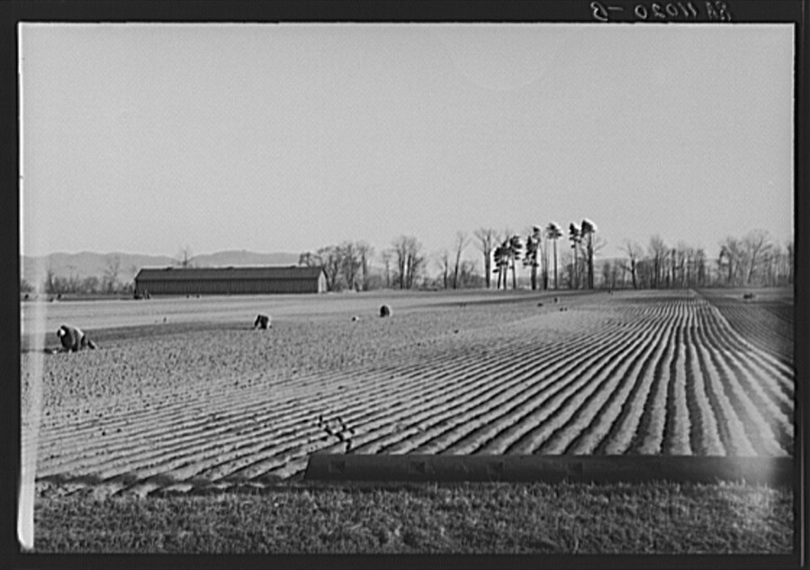
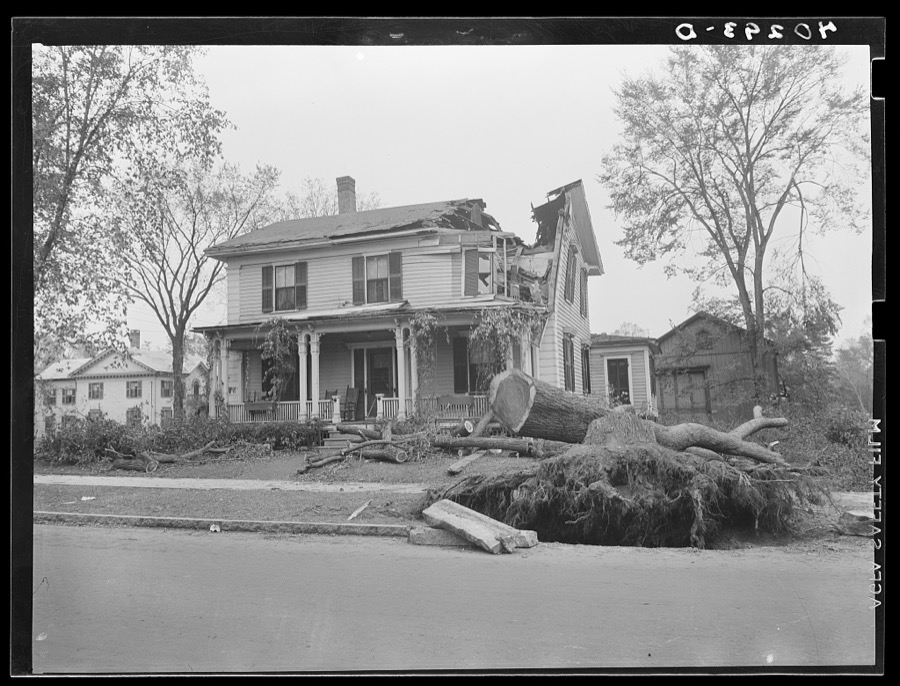
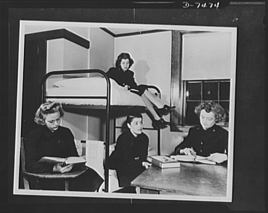
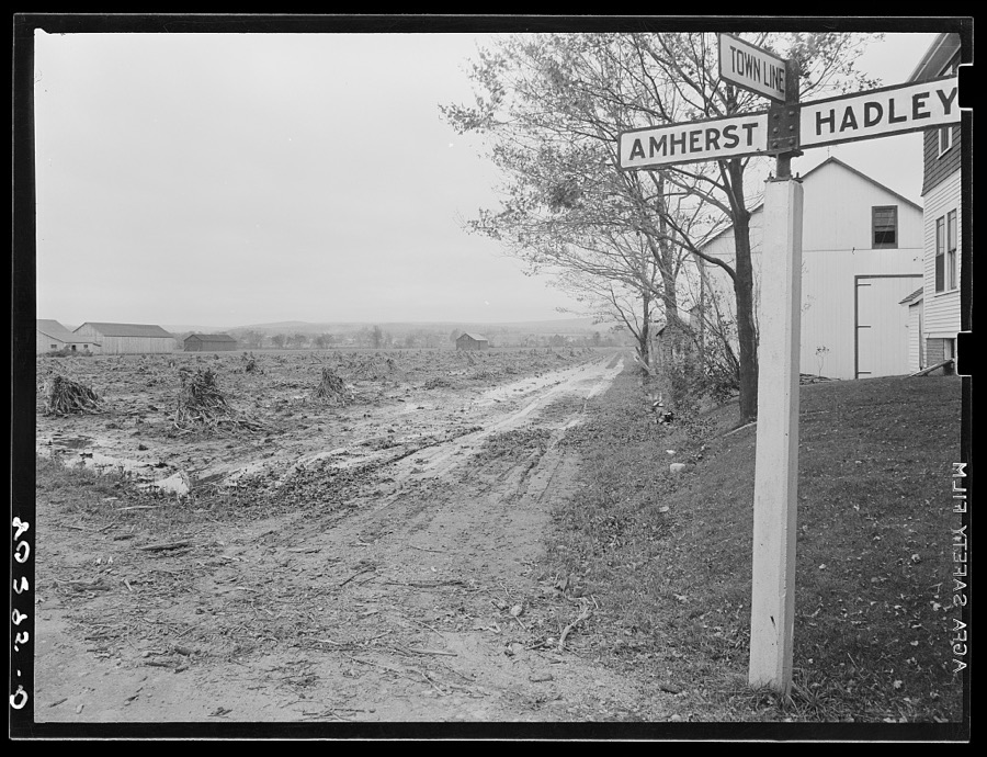
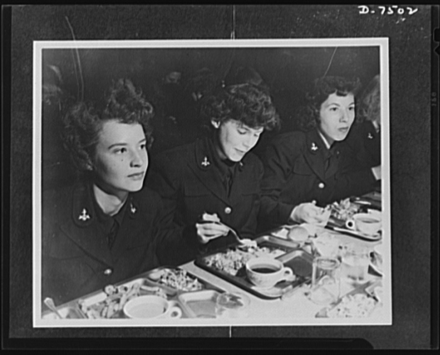
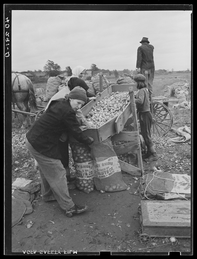
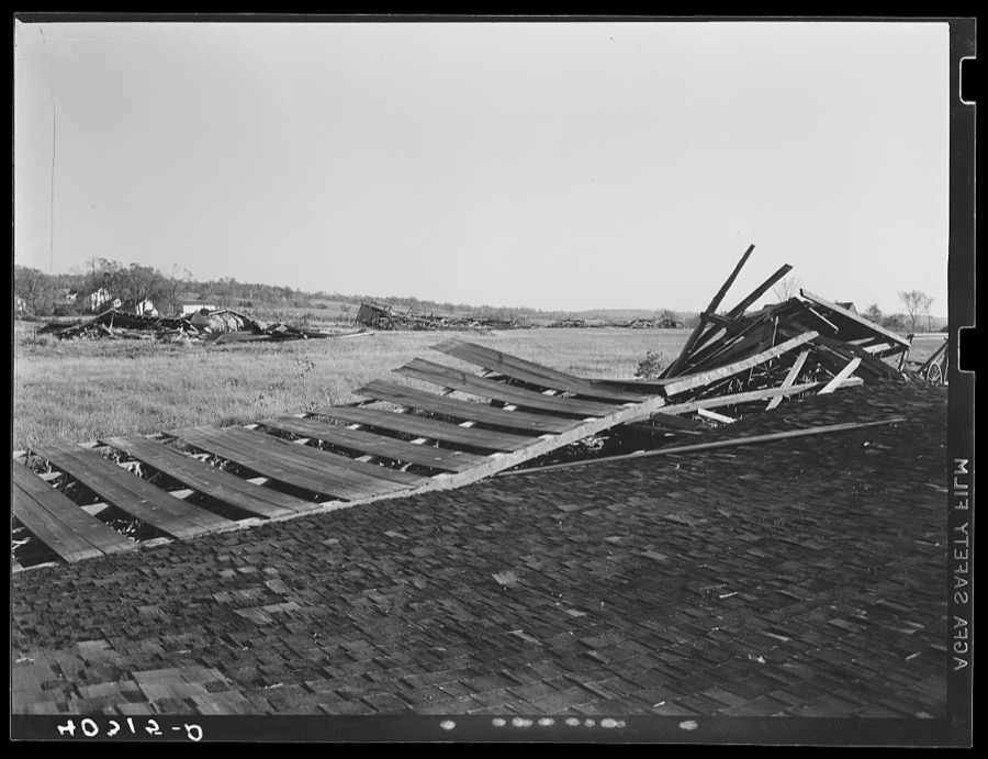
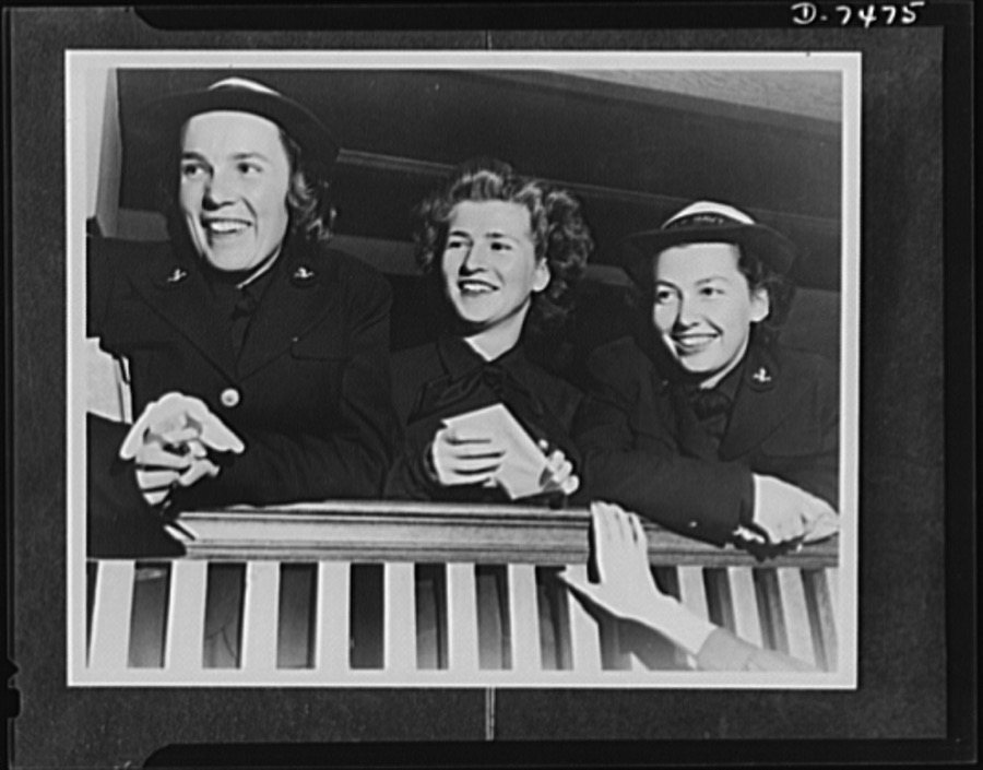
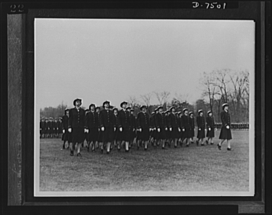
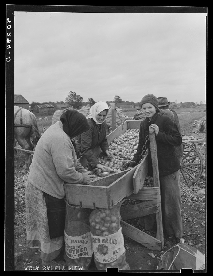
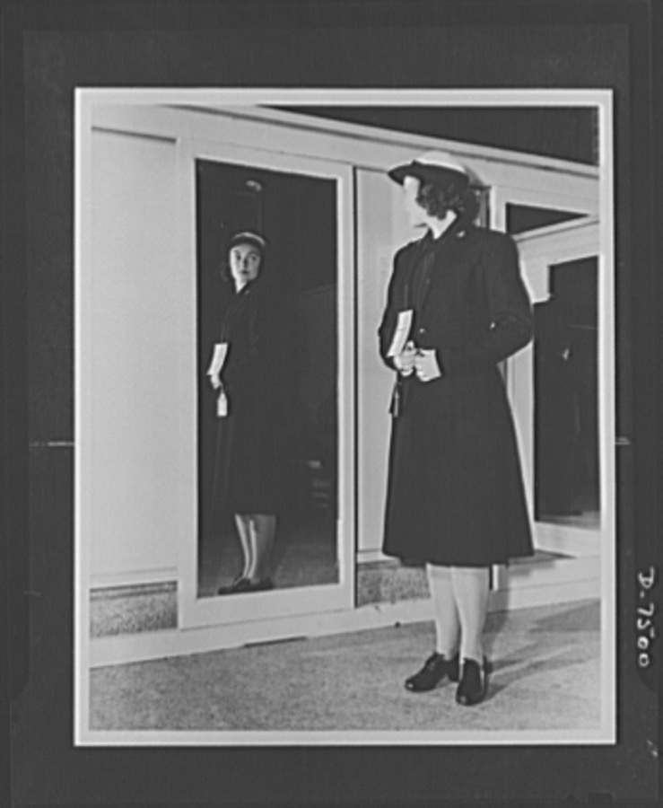
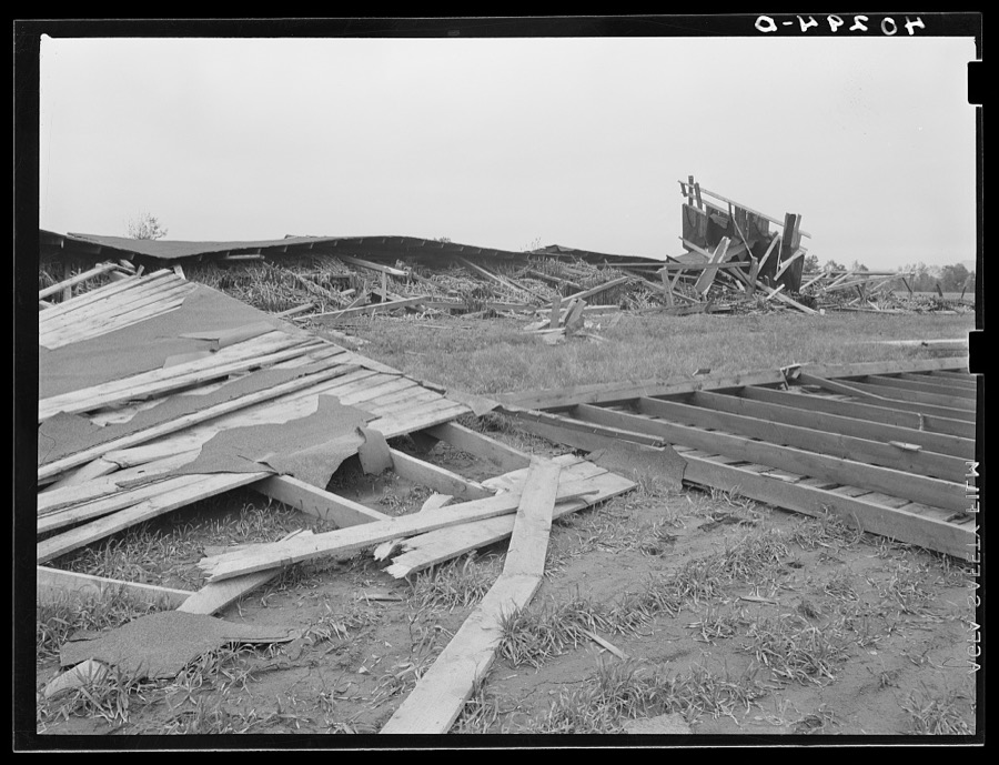
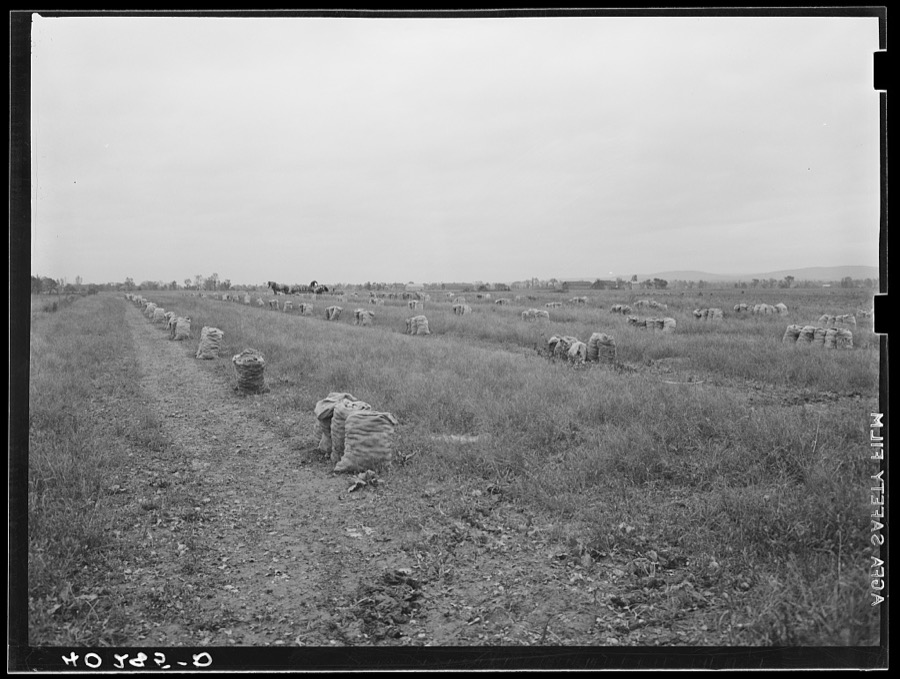
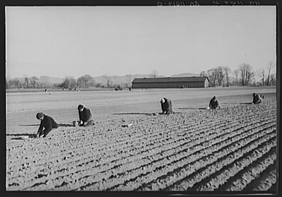
Among the exhibited autos at a small antique-car show on the green in [Belchertown], Massachusetts Highsmith, Carol M, 2019. Library of CongressOnion planters near Hatfield, Massachusetts Carter, Paul, 1936. Library of CongressAmong the exhibited autos at a small antique-car show on the green in [Belchertown], Massachusetts Highsmith, Carol M, 2019. Library of CongressNew England hurricane. Onion, corn stalks, and debris washed across the road by the Connecticut River near Northampton, Massachusetts Dick, Sheldon, photographer, 1938. Library of CongressLand ruined by the high waters of the Connecticut River. Near Hatfield, Massachusetts Carter, Paul, 1936. Library of CongressWomen Accepted for Voluntary Emergency Service. Hep, two, three, four clipping of a brisk cadence, enlisted WAVES cross their first bridge enroute to their initial drill session on the Smith College Campus, Northampton, Massachusetts. The gals didn't even have time to change from their street clothes before the WAVE ensign on the right started them off for their exercise United States. Office of War Information, 1942. Library of CongressNew England hurricane. Onions, corn, and a mixture of debris brought in by the Connecticut River flood near Northampton, Massachusetts Dick, Sheldon, photographer, 1938. Library of CongressRuined tobacco land along the Connecticut River, near Hatfield, Massachusetts Carter, Paul, 1936. Library of CongressRuined tobacco land along the Connecticut River, near Hatfield, Massachusetts Carter, Paul, 1936. Library of CongressThis colorful 1949 Willys Jeepster, exhibited at a small antique-car show on the green in [Belchertown], Massachusetts, is one of several small cars used by the Melha Shriners, a funloving Masonic group that delights crowds in area parades Highsmith, Carol M, 2019. Library of CongressNew England hurricane. Tobacco barn near Amherst, Massachusetts Dick, Sheldon, photographer, 1938. Library of CongressOnion fields near Hatfield, Massachusetts Carter, Paul, 1936. Library of CongressNew England hurricane. House in Amherst, Massachusetts Dick, Sheldon, photographer, 1938. Library of CongressAs this exhibit at a small antique-car show on the green in [Belchertown], Massachusetts demonstrates, hanging dice were a popular decoration in hot rods and convertibles in the 1950s and 60s Highsmith, Carol M, 2019. Library of CongressWomen Accepted for Voluntary Emergency Service. Smith College, Northampton, Massachusetts, becomes the home for WAVES in training. Here, midshipmen take on a heavy schedule to learn the duties of an officer in the U.S. Naval Reserve. G.I. textbooks are distributed to the Midshipmen United States. Office of War Information, 1942. Library of CongressThis colorful 1949 Willys Jeepster, exhibited at a small antique-car show on the green in [Belchertown], Massachusetts, is one of several small cars used by the Melha Shriners, a funloving Masonic group that delights crowds in area parades Highsmith, Carol M, 2019. Library of CongressNew England hurricane. Flooded-over cornfield near Amherst, Massachusetts Dick, Sheldon, photographer, 1938. Library of CongressWomen Accepted for Voluntary Emergency Service. Smith College, Northampton, Massachusetts, becomes the home for WAVES in training. Here, midshipmen take on heavy schedule to learn the duties of an officer in the U.S. Naval Reserve. Chow! The girls eat "twice as much" as in civilian life. But they keep too busy to take on weight United States. Office of War Information, 1942. Library of CongressNew England hurricane. Salvaging onions near Hadley, Massachusetts Dick, Sheldon, photographer, 1938. Library of CongressNew England hurricane. Tobacco barn in Amherst, Massachusetts Dick, Sheldon, photographer, 1938. Library of CongressWomen Accepted for Voluntary Emergency Service. Smith College, Northampton, Massachusetts, becomes the home for WAVES in training. Here, midshipmen take on a heavy schedule to learn the duties of an officer in the U.S. Naval Reserve. G.I. textbooks are distributed to the Midshipmen United States. Office of War Information, 1942. Library of CongressAmong the exhibited autos at a small antique-car show on the green in [Belchertown], Massachusetts Highsmith, Carol M, 2019. Library of CongressWomen Accepted for Voluntary Emergency Service. Smith College, Northampton, Massachusetts, becomes the home for WAVES in training. Here, midshipmen take on heavy schedule to learn the duties of an officer in the U.S. Naval Reserve. Officers on parade. Ensigns march in the regimental review United States. Office of War Information, 1942. Library of CongressNew England hurricane. Salvaging onions near Hadley, Massachusetts Dick, Sheldon, photographer, 1938. Library of CongressWomen Accepted for Voluntary Emergency Service. Smith College, Northampton, Massachusetts, becomes the home for WAVES in training. Here, midshipmen take on heavy schedule to learn the duties of an officer in the U.S. Naval Reserve. First uniform. Getting into uniform is one of the WAVES biggest thrills. Here a comely officer candidate tries hers on United States. Office of War Information, 1942. Library of CongressThe 1887 Clapp Memorial Library, a public library in [Belchertown], Massachusetts Highsmith, Carol M, 2019. Library of CongressNew England hurricane. Tobacco barn in Amherst, Massachusetts Dick, Sheldon, photographer, 1938. Library of CongressThe 1887 Clapp Memorial Library, a public library in [Belchertown], Massachusetts Highsmith, Carol M, 2019. Library of CongressNew England hurricane. Onion field near Hadley, Massachusetts Dick, Sheldon, photographer, 1938. Library of CongressOnion planters near Hatfield, Massachusetts Carter, Paul, 1936. Library of CongressThe 1887 Clapp Memorial Library, a public library in [Belchertown], Massachusetts Highsmith, Carol M, 2019. Library of CongressNew England hurricane. Salvaging onions near Hadley, Massachusetts Dick, Sheldon, photographer, 1938. Library of CongressWhere the Connecticut River cut a new channel near Hatfield, Massachusetts, ruining good tobacco land Carter, Paul, 1936. Library of CongressNew England hurricane. Onions, corn, and a mixture of debris brought in by the Connecticut River flood near Northampton, Massachusetts Dick, Sheldon, photographer, 1938. Library of CongressWhere the Connecticut River cut a new channel near Hatfield, Massachusetts, ruining good tobacco land Carter, Paul, 1936. Library of CongressNew England hurricane. Tobacco barn near Amherst, Massachusetts Dick, Sheldon, photographer, 1938. Library of CongressTobacco Barns, Old Hadley Street, Hadley, Hampshire County, MA Unattributed, . Library of CongressWhistler Bridge No. 5, Becket, Berkshire County, MA Unattributed, . Library of CongressHuntington House, 130 River Drive, Hadley, Hampshire County, MA Unattributed, . Library of CongressAldrich Mill, 54 Aldrich Street, Granby, Hampshire County, MA Unattributed, . Library of CongressNehemiah Strong House, 67 Amity Street, Amherst, Hampshire County, MA Unattributed, . Library of CongressSamuel Porter House, West Street, Hadley, Hampshire County, MA Unattributed, . Library of CongressEasthampton Town Hall, 43 Main Street, Easthampton, Hampshire County, MA Unattributed, . Library of CongressS. Parsons Cook House, 70 East Street, Hadley, Hampshire County, MA Unattributed, . Library of CongressMorton House, Bridge Lane & Lower Main Street, Hatfield, Hampshire County, MA Unattributed, . Library of CongressJonathan Woodbridge House, Four Corners, Worthington Center, Hampshire County, MA Unattributed, . Library of CongressCaptain Jared Hunt House, Westhampton, Hampshire County, MA Unattributed, . Library of CongressCornelia Billings House, Hatfield, Hampshire County, MA Unattributed, . Library of CongressLieutenant David Billings House, 77 Main Street, Hatfield, Hampshire County, MA Unattributed, . Library of CongressBancroft Bridge, Middlefield, Hampshire County, MA Unattributed, . Library of CongressIsaac Damons House, 46 Bridge Street, Northampton, Hampshire County, MA Unattributed, . Library of CongressAllen House, Northampton, Hampshire County, MA Unattributed, . Library of Congress
Places on the National Register
32
Every property in this county listed on the
National Register of Historic Places, with the year it was listed and the
federal nomination document.
Hampshire County holds 1 covered bridges on
the National Register, more than any other property type here. Each is a listed
structure with a federal nomination on file.
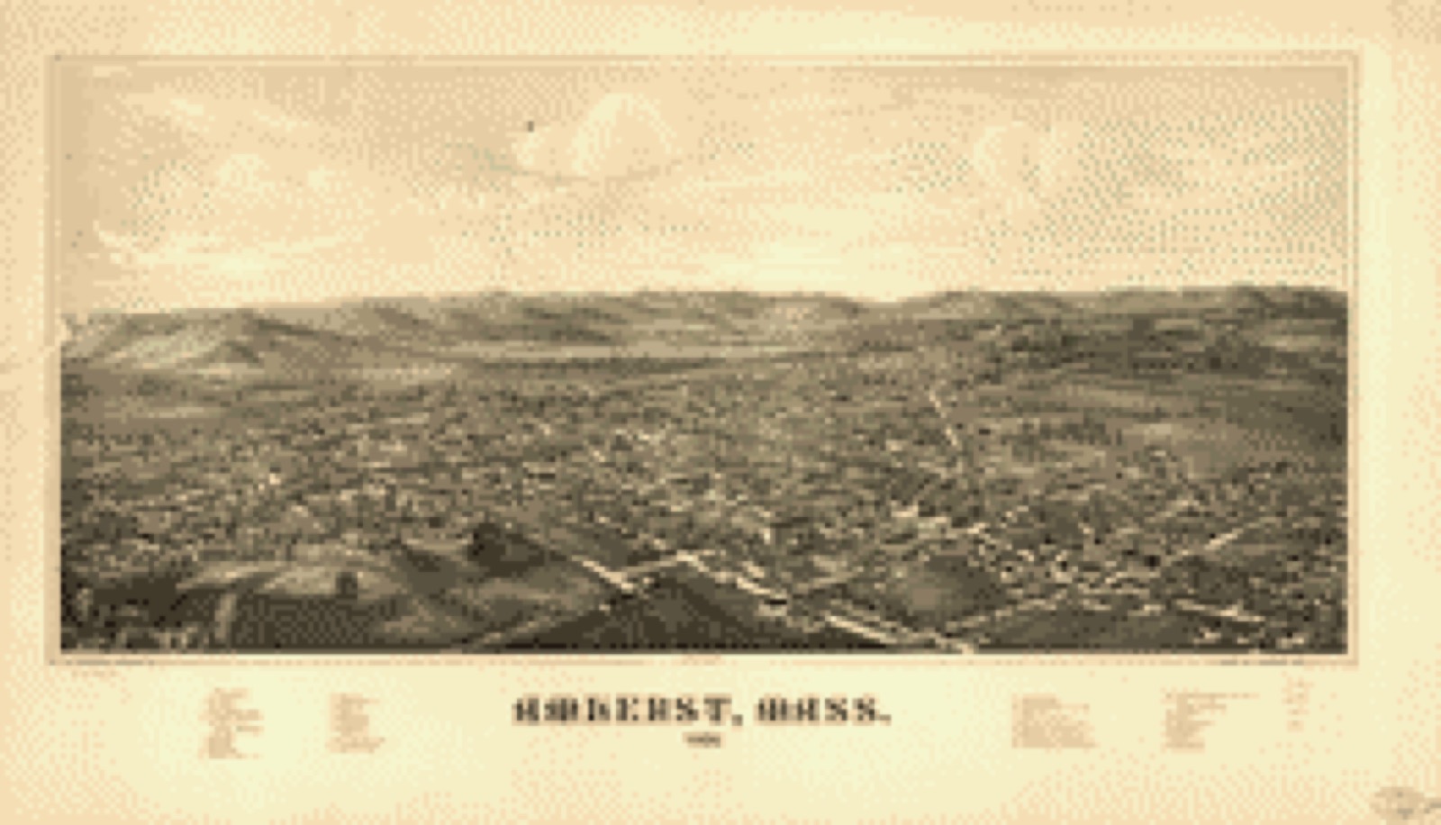
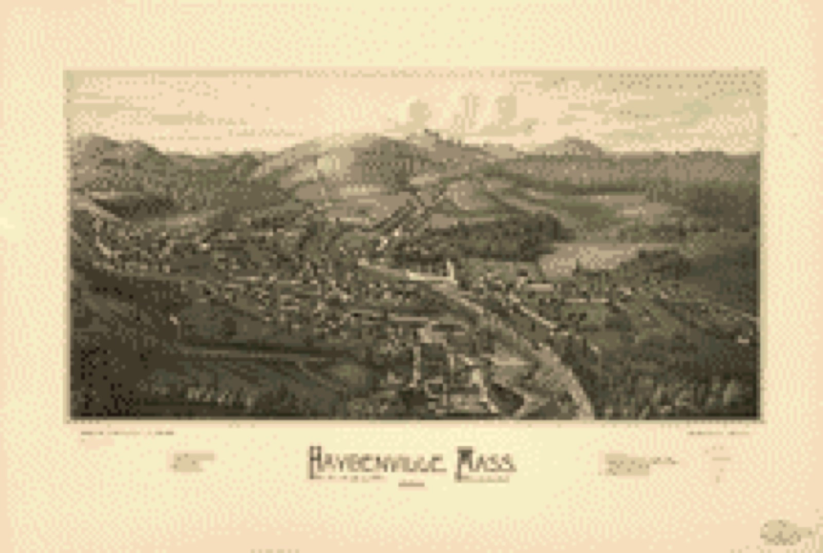
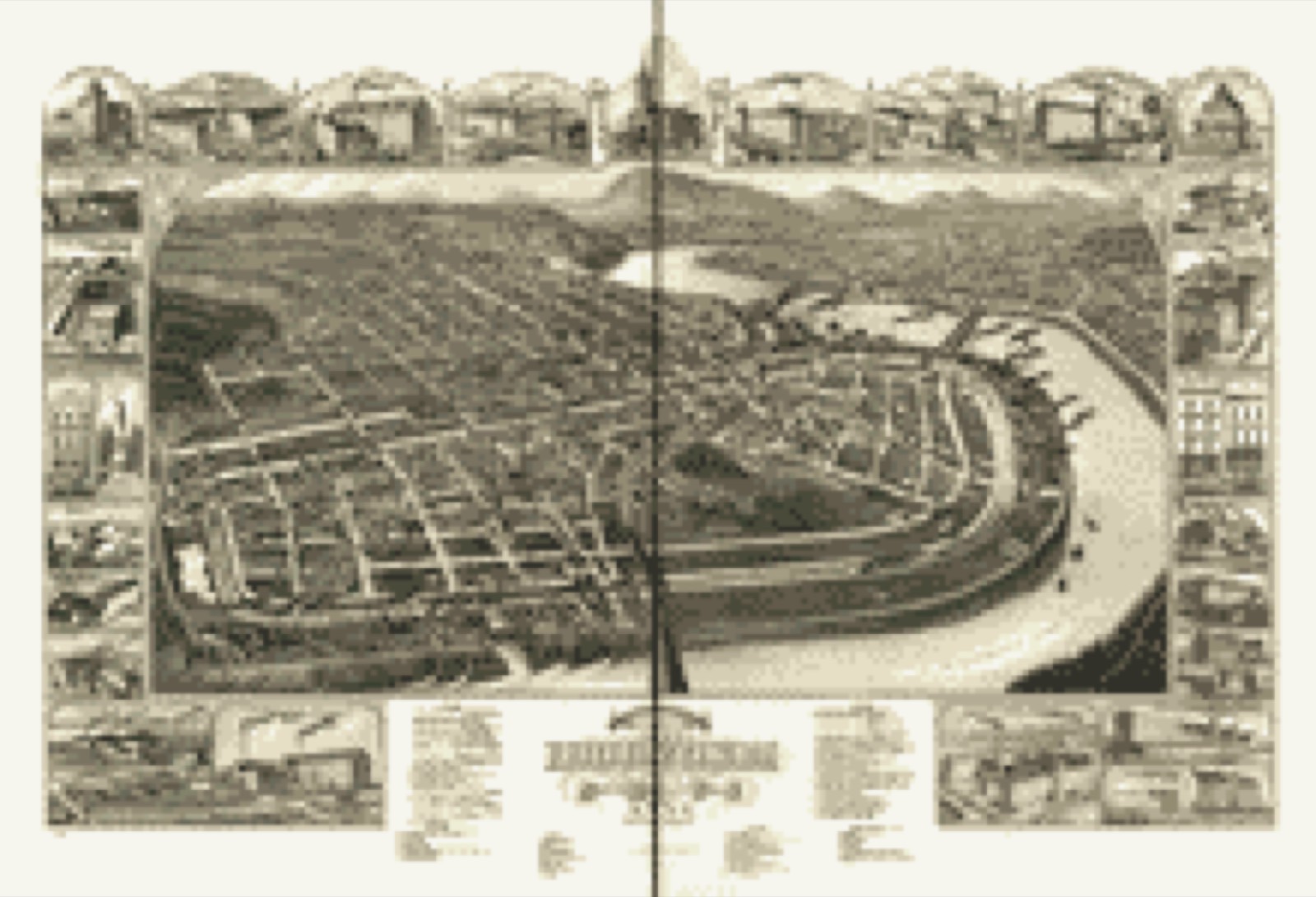
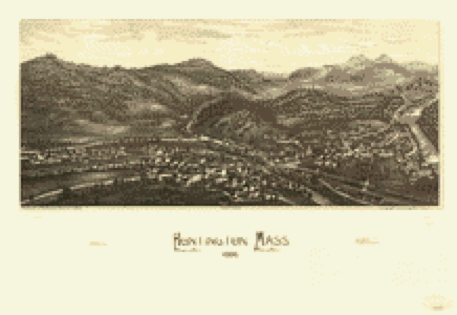
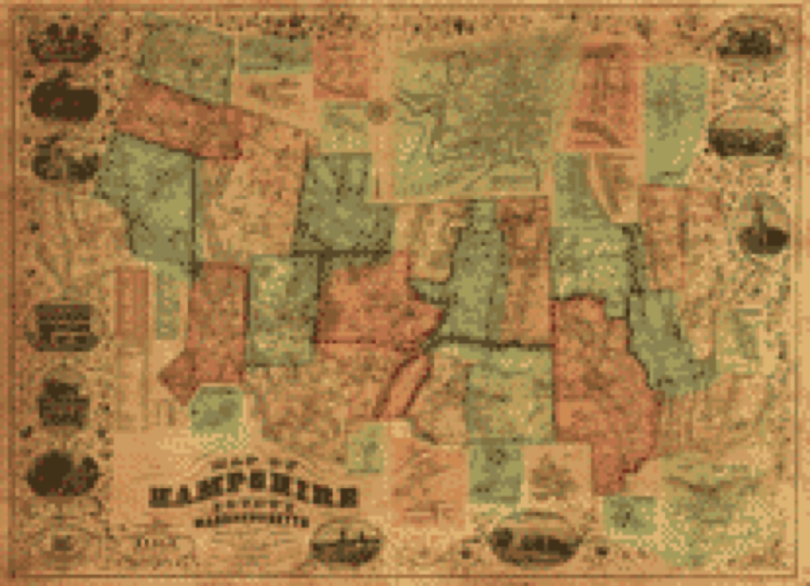
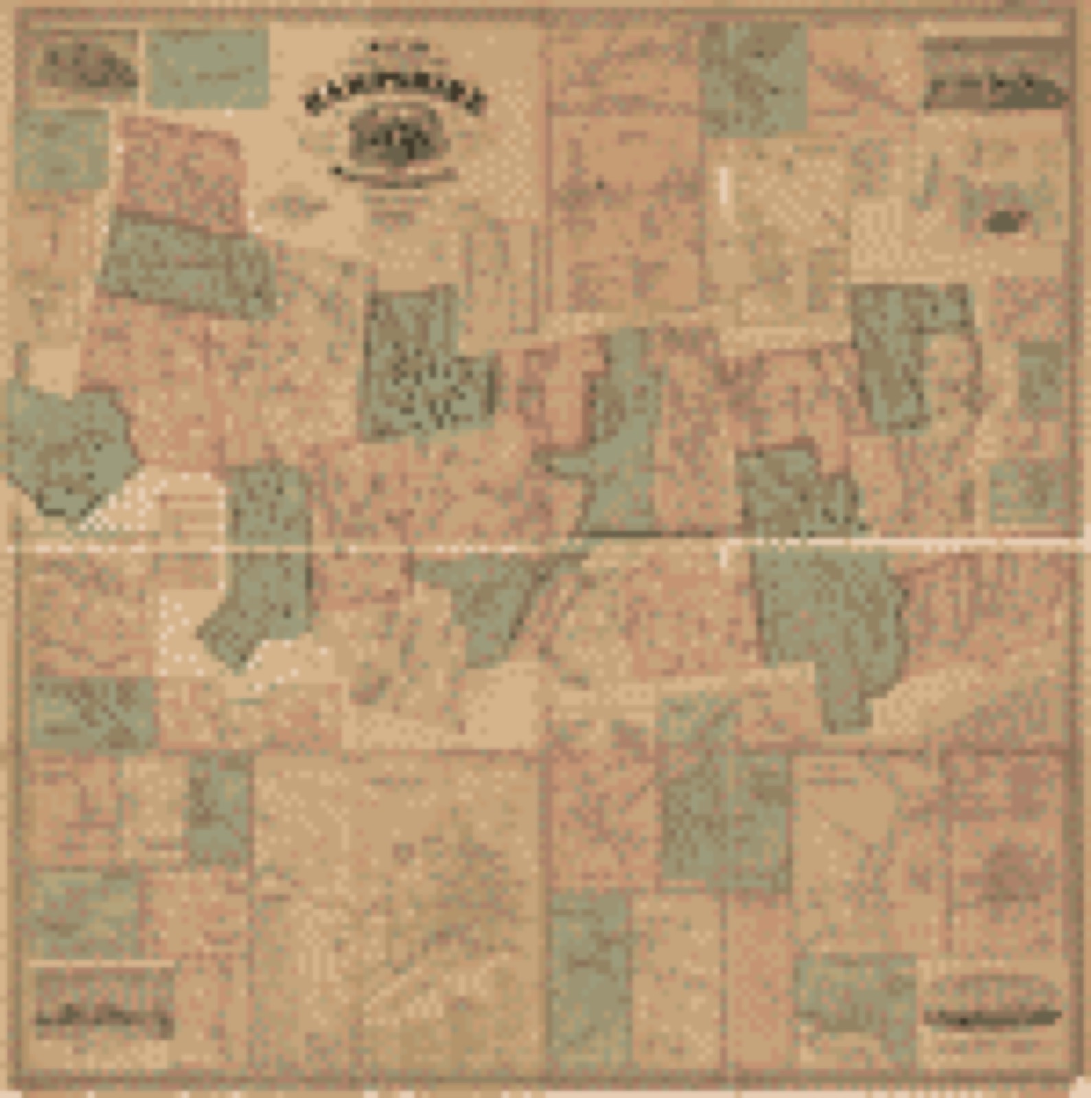
Drawn when these were printed as
single large sheets: the town seen from the air, and the county
divided into its farms with every owner named. Each opens the
original at the Library of Congress.
Bird's-eye view (1886) - Amherst, Mass. 1886. Library of Congress.Bird's-eye view (1886) - Haydenville, Mass. 1886. Library of Congress.Bird's-eye view (1881) - Bird's eye view of the 1881 city of Holyoke, and village of South Hadley Falls, Mass. Library of Congress.Bird's-eye view (1886) - Huntington, Mass. 1886. Library of Congress.Land ownership map (1854) - Map of Hampshire County, Massachusetts. Library of Congress.Land ownership map (1860) - Map of the county of Hampshire, Massachusetts. Library of Congress.
Photographs from libraries nationwide
22 of 9,242 shown
Selected from the Digital Public Library
of America's 9,242 image records catalogued for this county. Every
one shown here carries a public-domain status or a licence that permits
reuse on a site that carries advertising; non-commercial, share-alike
and restricted images are excluded. The selection is spread across the
county's towns (at most eight per town), so no single institution's
bulk upload crowds out the rest. Each opens the holding library's
record, and
the complete set at the
Digital Public Library of America is one click away.
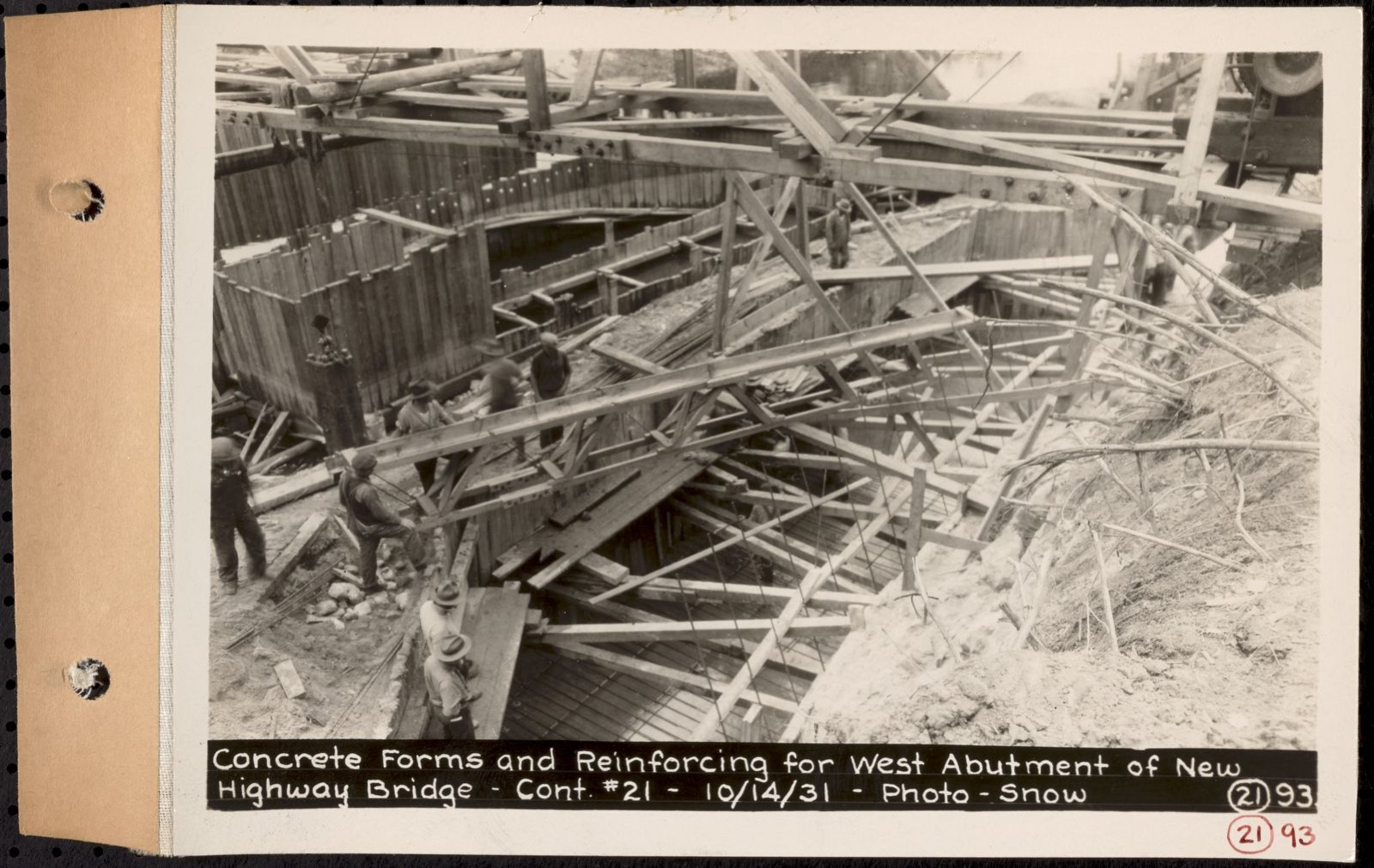
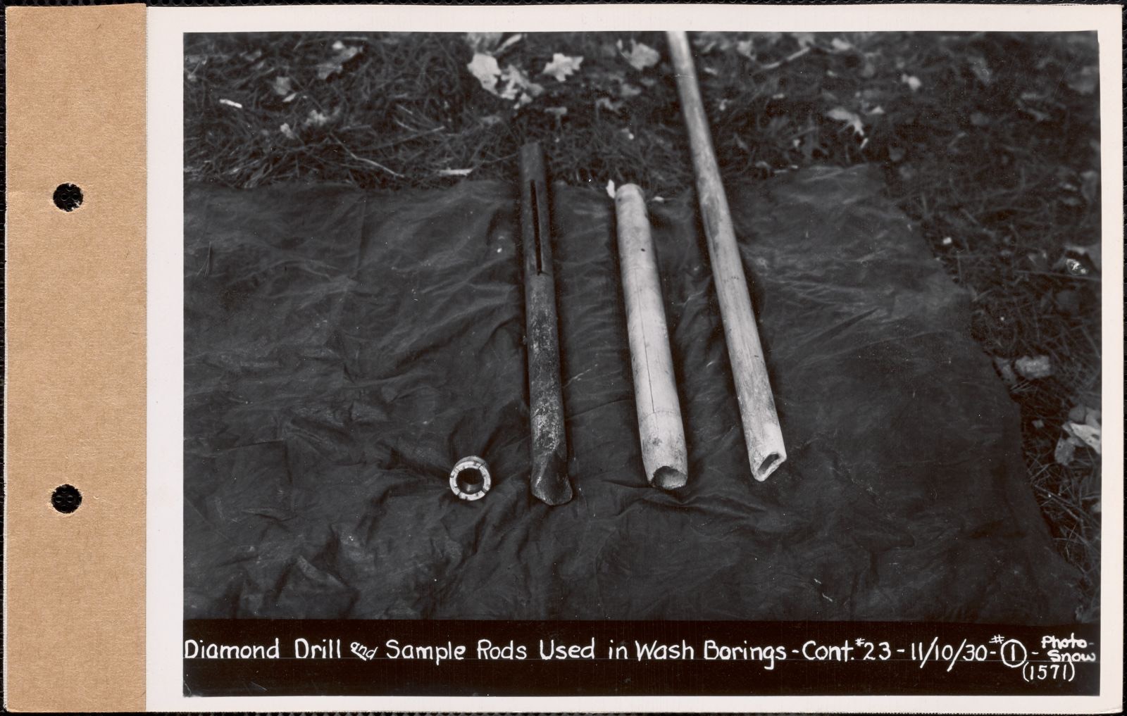
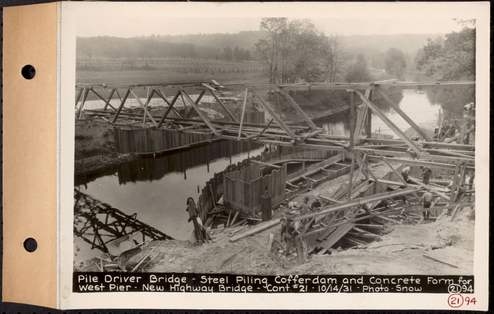
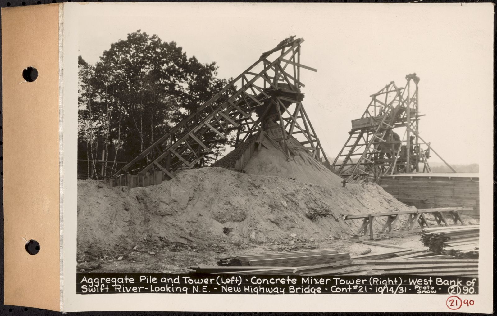
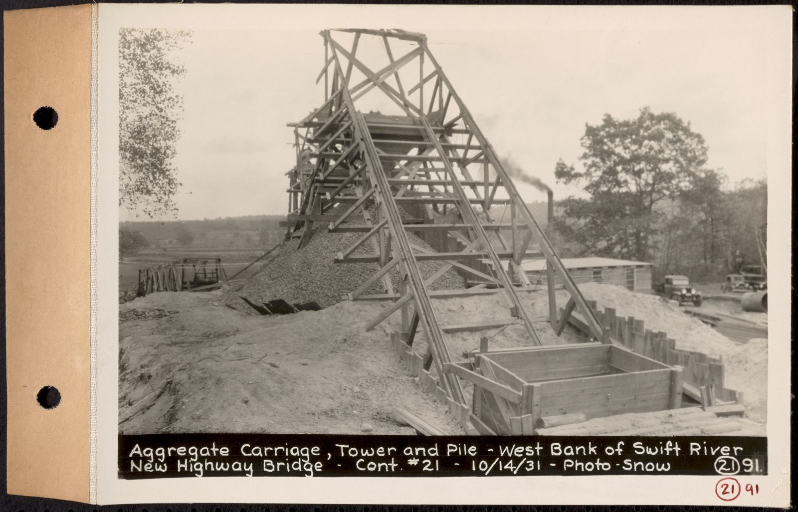
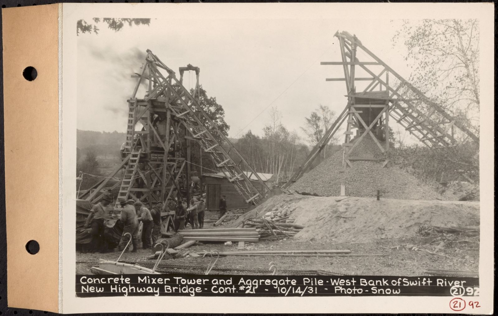
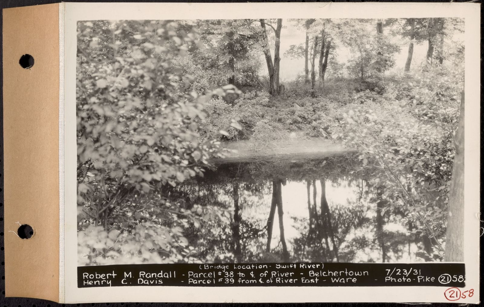
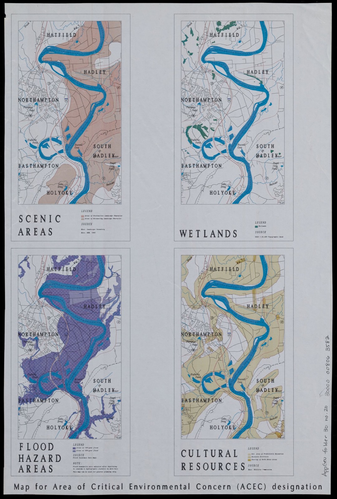
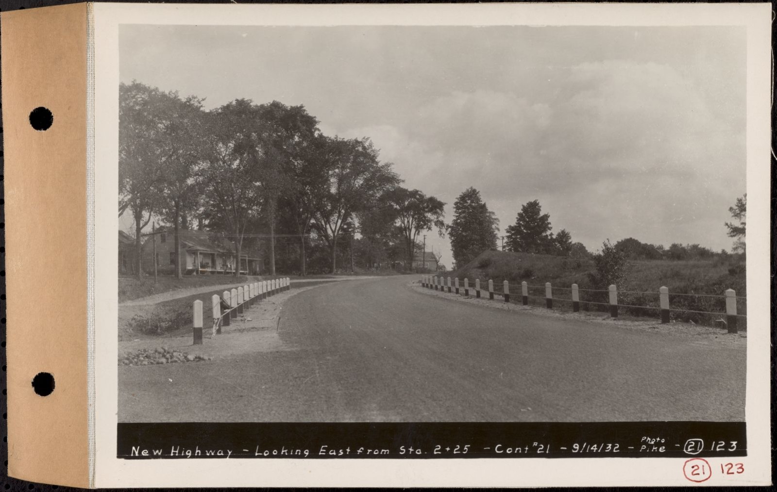
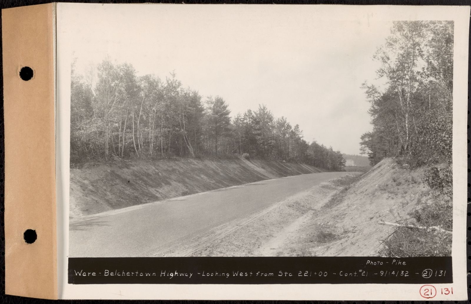
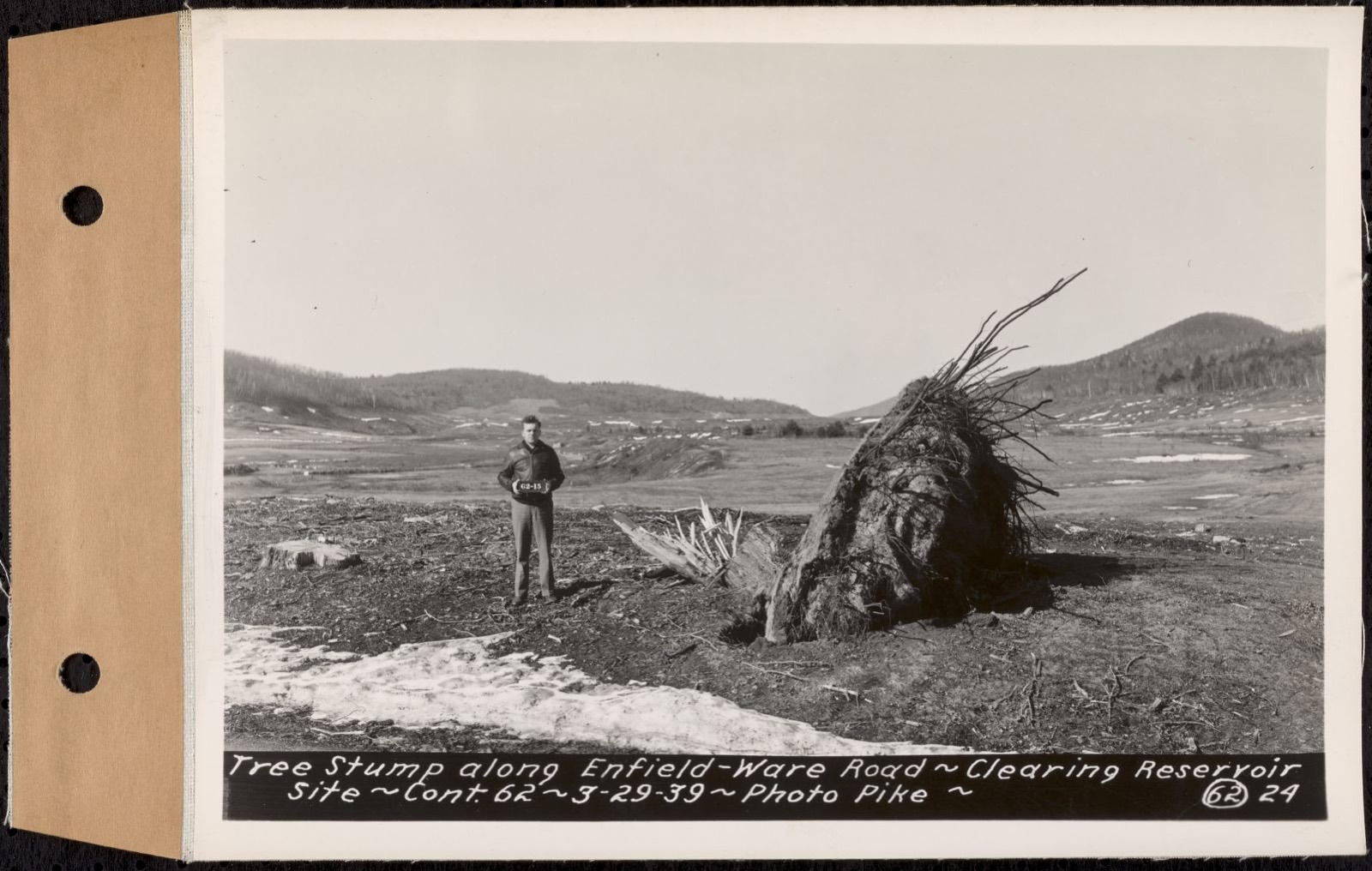
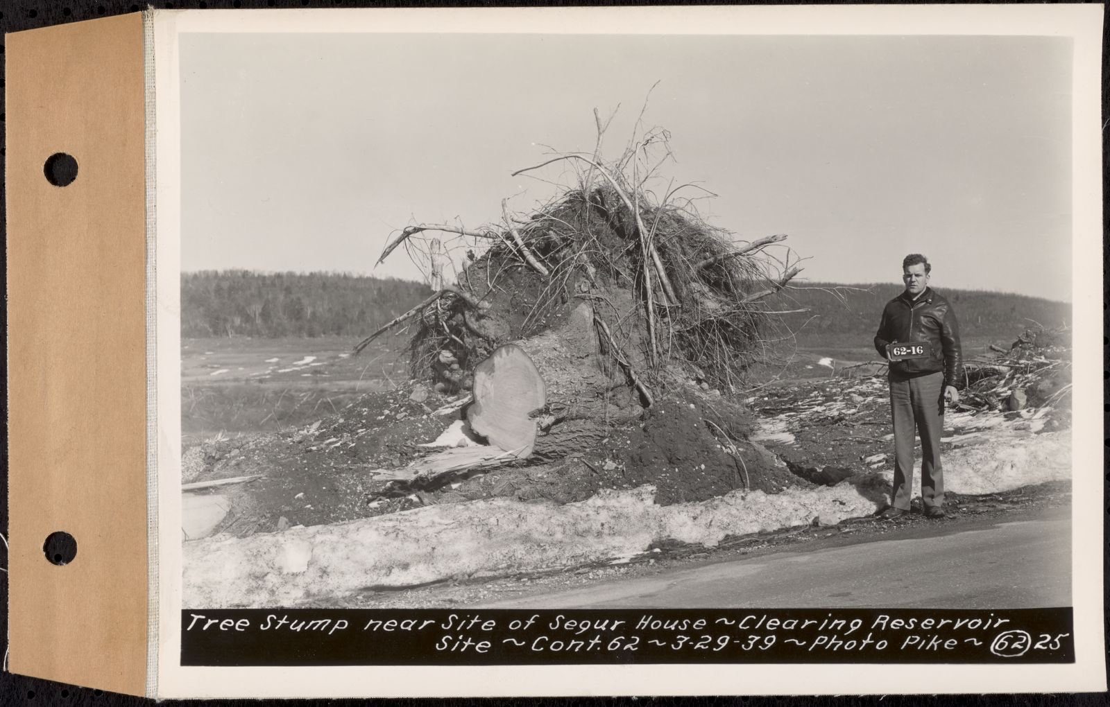
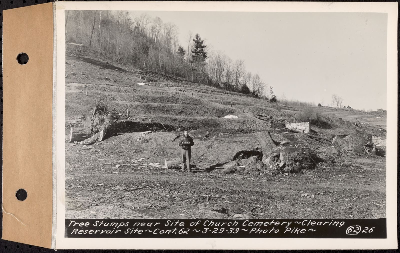
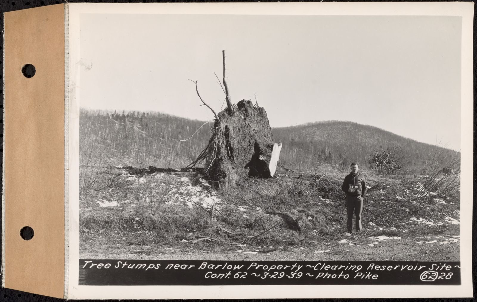
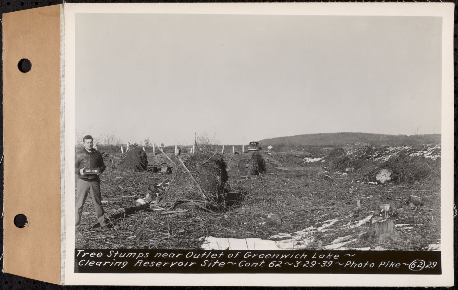
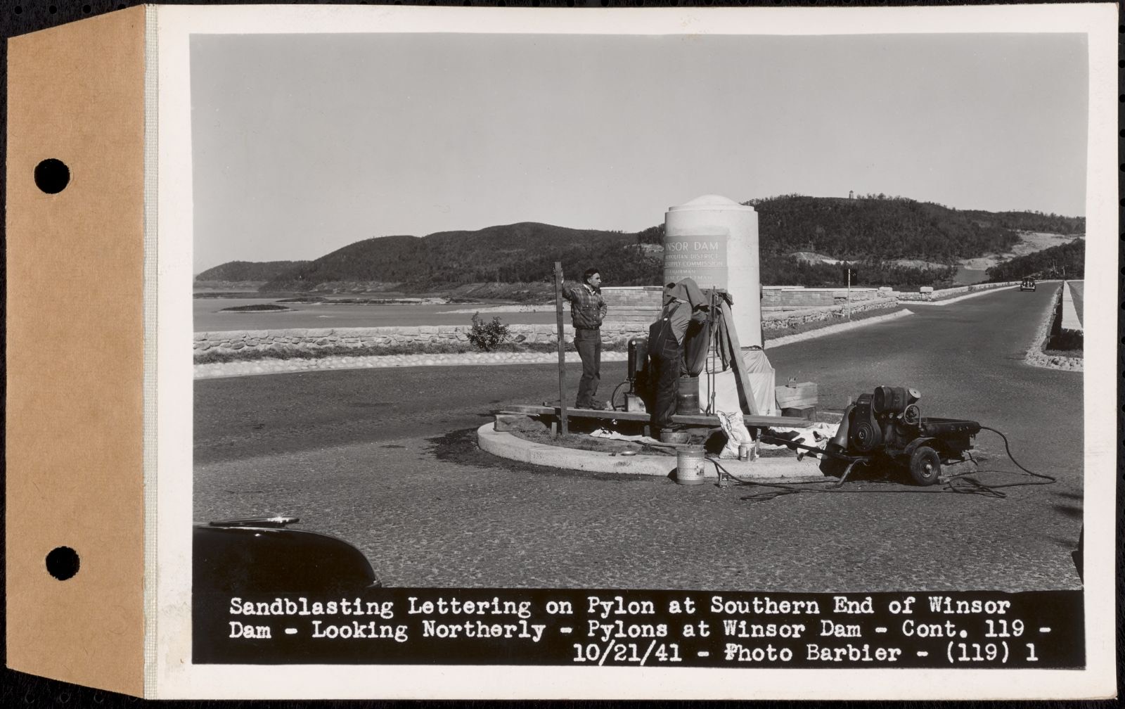
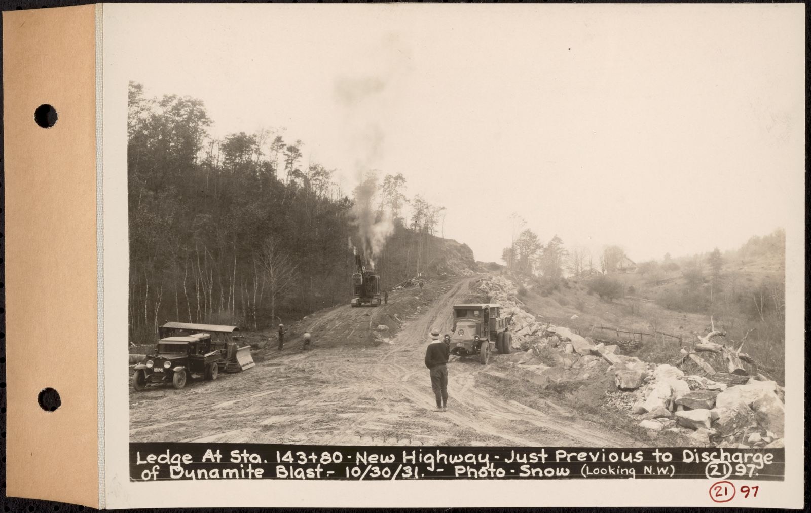
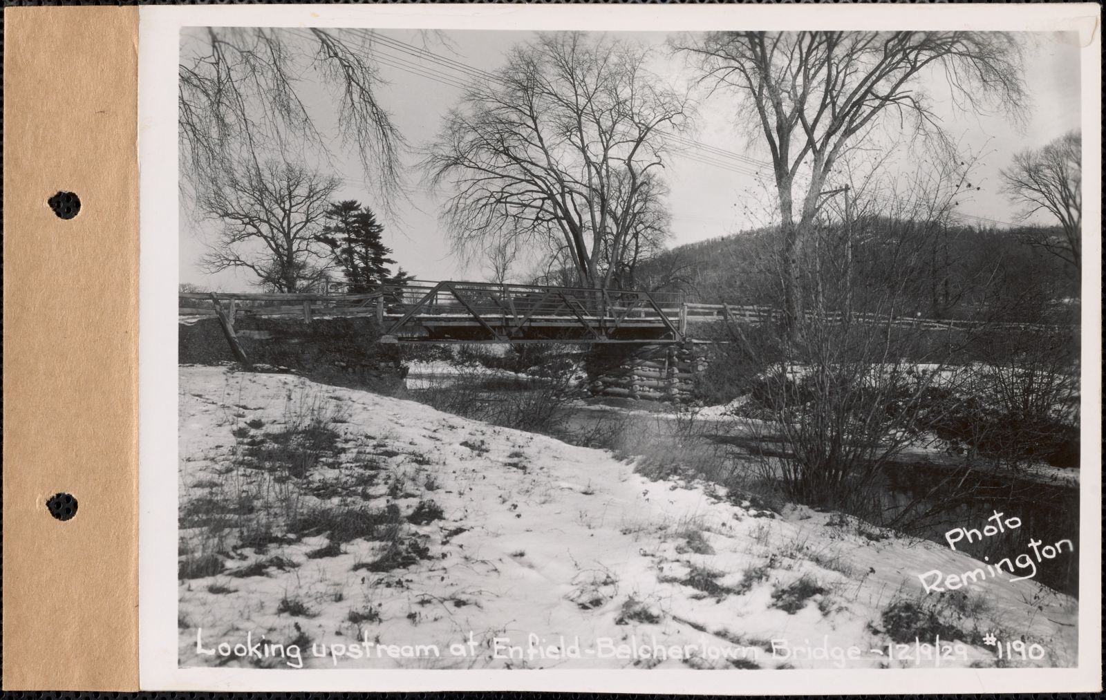
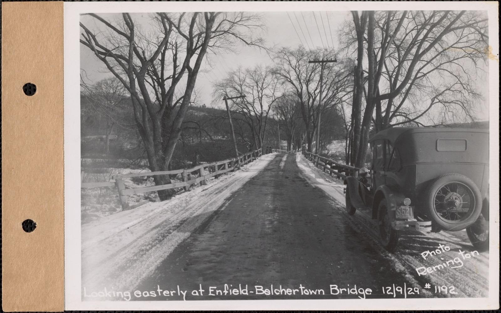
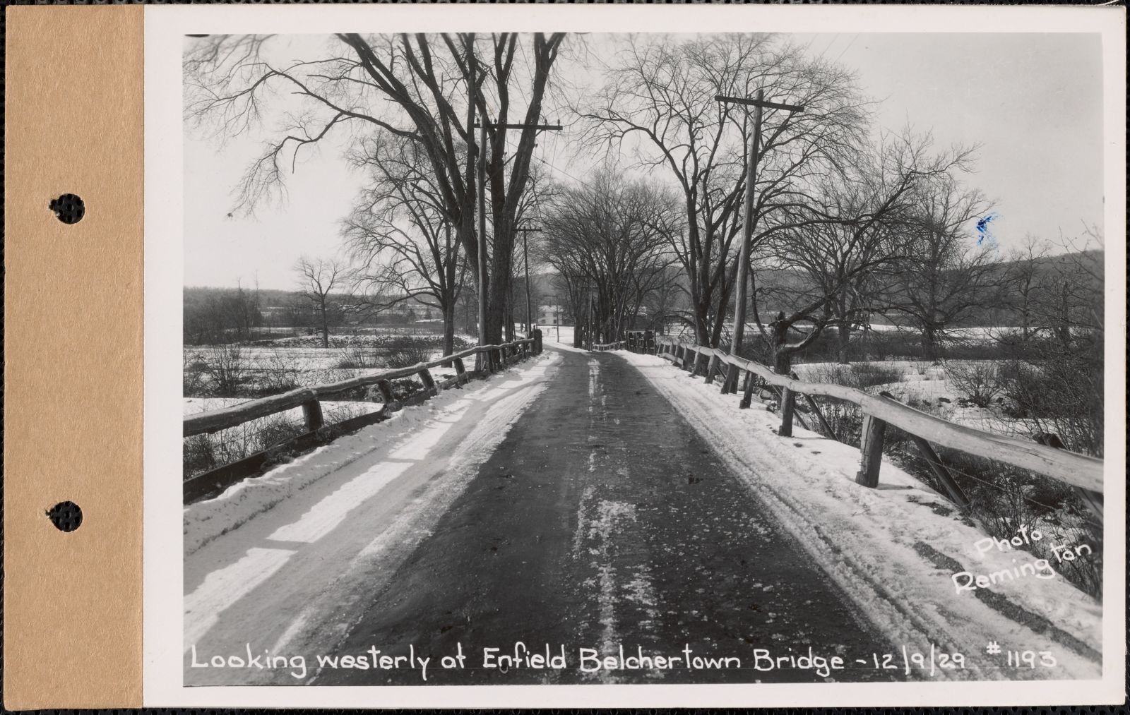
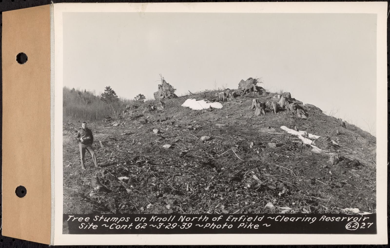
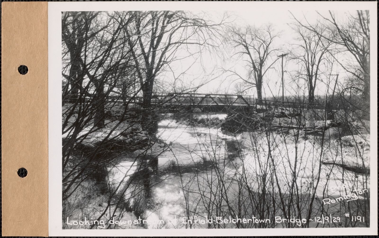
Contract No. 21, Portion of Ware-Belchertown Highway, Ware and Belchertown, concrete forms and reinforcing for West abutment of new highway bridge, Ware and Belchertown, Mass., Oct. 14, 1931. Massachusetts. Metropolitan District Water Supply Commission, Massachusetts Archives, via the Digital Public Library of America.Diamond drill and sample rods used in wash borings, contract #23, Belchertown, Ware, and Enfield, Mass., Nov. 10, 1930. Massachusetts. Metropolitan District Water Supply Commission, Massachusetts Archives, via the Digital Public Library of America.Contract No. 21, Portion of Ware-Belchertown Highway, Ware and Belchertown, pile driver bridge, steel piling, cofferdam and concrete form for west pier, new highway bridge, Ware and Belchertown, Mass., Oct. 14, 1931. Massachusetts. Metropolitan District Water Supply Commission, Massachusetts Archives, via the Digital Public Library of America.Contract No. 21, Portion of Ware-Belchertown Highway, Ware and Belchertown, aggregate pile and tower (left), concrete mixer tower (right), West bank of Swift River, looking northeast, new highway bridge, Ware and Belchertown, Mass., Oct. 14, 1931. Massachusetts. Metropolitan District Water Supply Commission, Massachusetts Archives, via the Digital Public Library of America.Contract No. 21, Portion of Ware-Belchertown Highway, Ware and Belchertown, aggregate carriage, tower and pile, west bank of Swift River, new highway bridge, Ware and Belchertown, Mass., Oct. 14, 1931. Massachusetts. Metropolitan District Water Supply Commission, Massachusetts Archives, via the Digital Public Library of America.Contract No. 21, Portion of Ware-Belchertown Highway, Ware and Belchertown, concrete mixer tower and aggregate pile, West bank of Swift River, new highway bridge, Ware and Belchertown, Mass., Oct. 14, 1931. Massachusetts. Metropolitan District Water Supply Commission, Massachusetts Archives, via the Digital Public Library of America.Contract No. 21, Portion of Ware-Belchertown Highway, Ware and Belchertown, land of Robert M. Randall and land of Henry C. Davis (bridge location, Swift River), Belchertown and Ware, Mass., Jul. 23, 1931. Massachusetts. Metropolitan District Water Supply Commission, Massachusetts Archives, via the Digital Public Library of America.Map for area of critical environmental concern (ACEC) designation. MassGIS (Office : Mass.), Boston Public Library, via the Digital Public Library of America.Contract No. 21, Portion of Ware-Belchertown Highway, Ware and Belchertown, new highway, looking east from Sta .2+25, Ware and Belchertown, Mass., Sep. 14, 1932. Massachusetts. Metropolitan District Water Supply Commission, Massachusetts Archives, via the Digital Public Library of America.Contract No. 21, Portion of Ware-Belchertown Highway, Ware and Belchertown, Ware-Belchertown highway, looking west from Sta. 221+00, Ware and Belchertown, Mass., Sep. 14, 1932. Massachusetts. Metropolitan District Water Supply Commission, Massachusetts Archives, via the Digital Public Library of America.Contract No. 62, Clearing Lower Middle and East Branches, Quabbin Reservoir, Ware, New Salem, Petersham and Hardwick, tree stump along Enfield-Ware Road, Enfield and Ware, Mass., Mar. 29, 1939. Massachusetts. Metropolitan District Water Supply Commission, Massachusetts Archives, via the Digital Public Library of America.Contract No. 62, Clearing Lower Middle and East Branches, Quabbin Reservoir, Ware, New Salem, Petersham and Hardwick, tree stump near site of Segur house, Enfield and Ware, Mass., Mar. 29, 1939. Massachusetts. Metropolitan District Water Supply Commission, Massachusetts Archives, via the Digital Public Library of America.Contract No. 62, Clearing Lower Middle and East Branches, Quabbin Reservoir, Ware, New Salem, Petersham and Hardwick, tree stumps near site of Church Cemetery, Enfield and Ware, Mass., Mar. 29, 1939. Massachusetts. Metropolitan District Water Supply Commission, Massachusetts Archives, via the Digital Public Library of America.Contract No. 62, Clearing Lower Middle and East Branches, Quabbin Reservoir, Ware, New Salem, Petersham and Hardwick, tree stumps near Barlow property, Enfield and Ware, Mass., Mar. 29, 1939. Massachusetts. Metropolitan District Water Supply Commission, Massachusetts Archives, via the Digital Public Library of America.Contract No. 62, Clearing Lower Middle and East Branches, Quabbin Reservoir, Ware, New Salem, Petersham and Hardwick, tree stumps near outlet of Greenwich Lake, Enfield and Ware, Mass., Mar. 29, 1939. Massachusetts. Metropolitan District Water Supply Commission, Massachusetts Archives, via the Digital Public Library of America.Contract No. 119, Furnishing and Setting Two Granite Pylons, Belchertown, Ware, sandblasting lettering on pylon at southern end of Winsor Dam, looking northerly, Quabbin Reservoir, Belchertown and Ware, Mass., Oct. 21, 1941. Massachusetts. Metropolitan District Water Supply Commission, Massachusetts Archives, via the Digital Public Library of America.Contract No. 21, Portion of Ware-Belchertown Highway, Ware and Belchertown, ledge at sta. 143+80, new highway, just previous to discharge of dynamite blast, Ware and Belchertown, Mass., Oct. 30, 1931. Massachusetts. Metropolitan District Water Supply Commission, Massachusetts Archives, via the Digital Public Library of America.Looking upstream at Enfield-Belchertown bridge, Mass., Dec. 9, 1929. Massachusetts. Metropolitan District Water Supply Commission, Massachusetts Archives, via the Digital Public Library of America.Looking easterly at Enfield-Belchertown bridge, Mass., Dec. 9, 1929. Massachusetts. Metropolitan District Water Supply Commission, Massachusetts Archives, via the Digital Public Library of America.Looking westerly at Enfield-Belchertown bridge, Mass., Dec. 9, 1929. Massachusetts. Metropolitan District Water Supply Commission, Massachusetts Archives, via the Digital Public Library of America.Contract No. 62, Clearing Lower Middle and East Branches, Quabbin Reservoir, Ware, New Salem, Petersham and Hardwick, tree stumps on knoll north of Enfield, Enfield and Ware, Mass., Mar. 29, 1939. Massachusetts. Metropolitan District Water Supply Commission, Massachusetts Archives, via the Digital Public Library of America.Looking downstream at Enfield-Belchertown bridge, Mass., Dec. 9, 1929. Massachusetts. Metropolitan District Water Supply Commission, Massachusetts Archives, via the Digital Public Library of America.
The county from the air
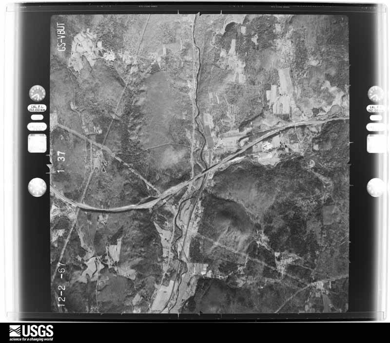
48 of 2,546 shown
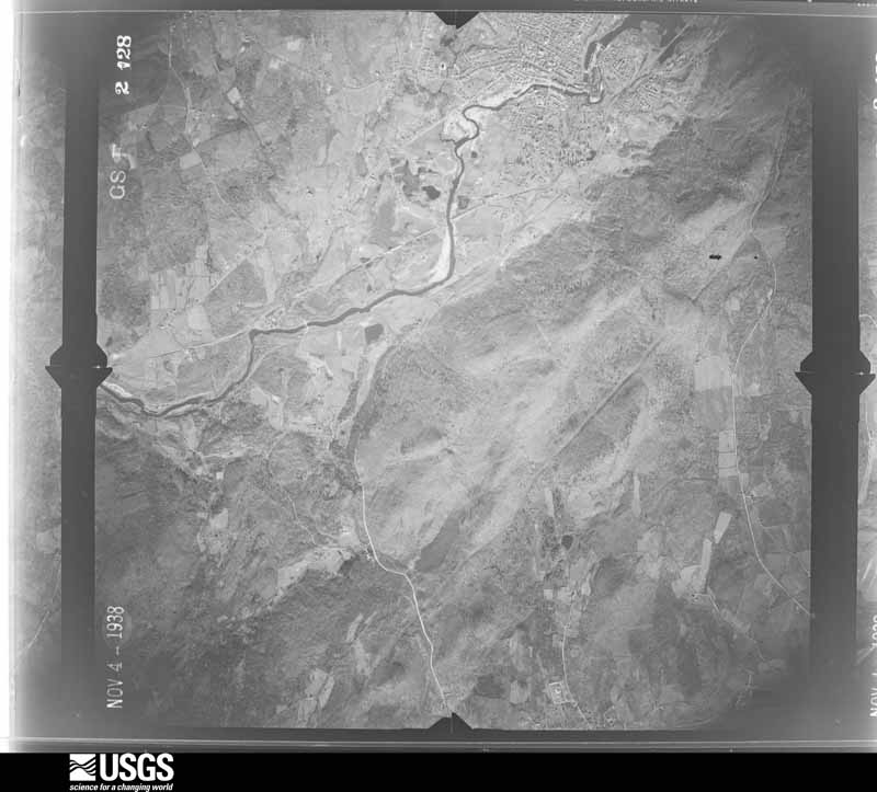
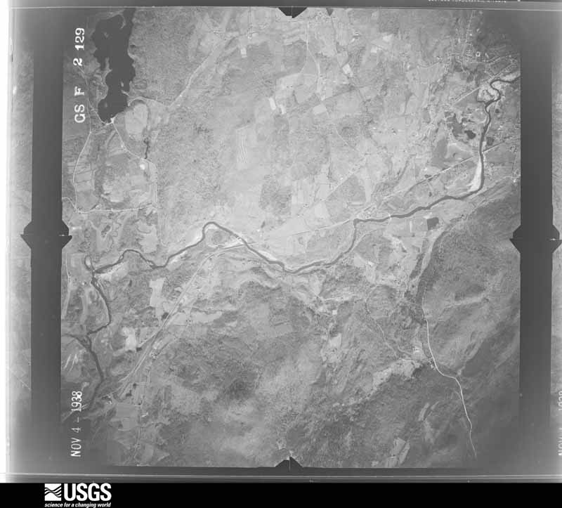
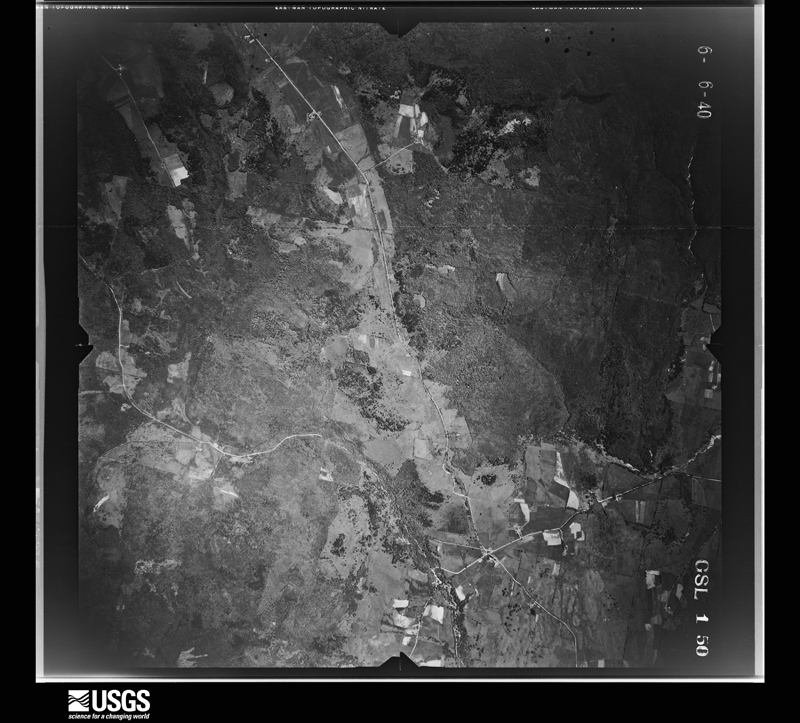
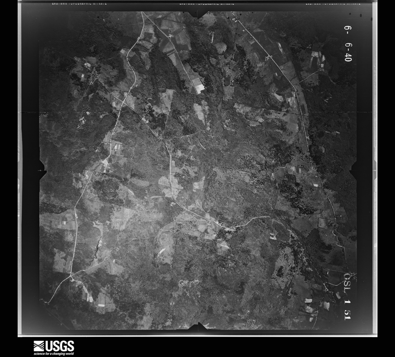
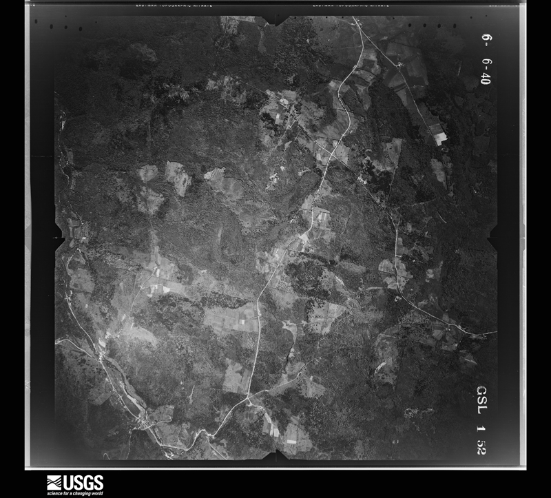
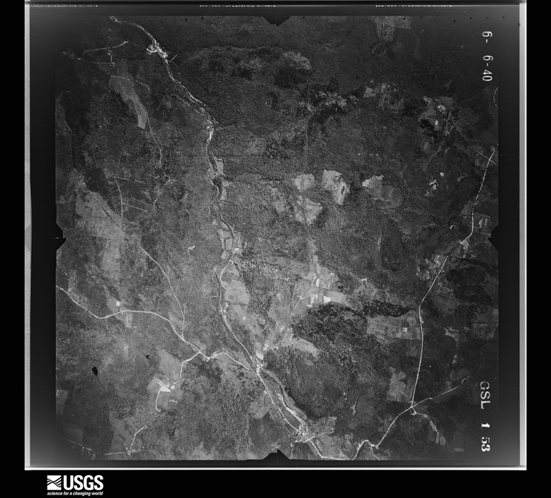
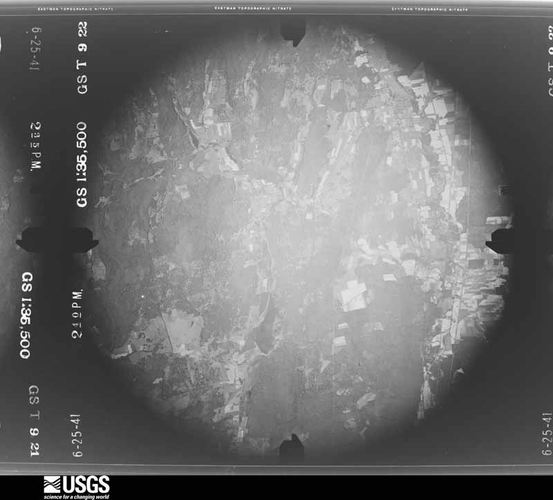
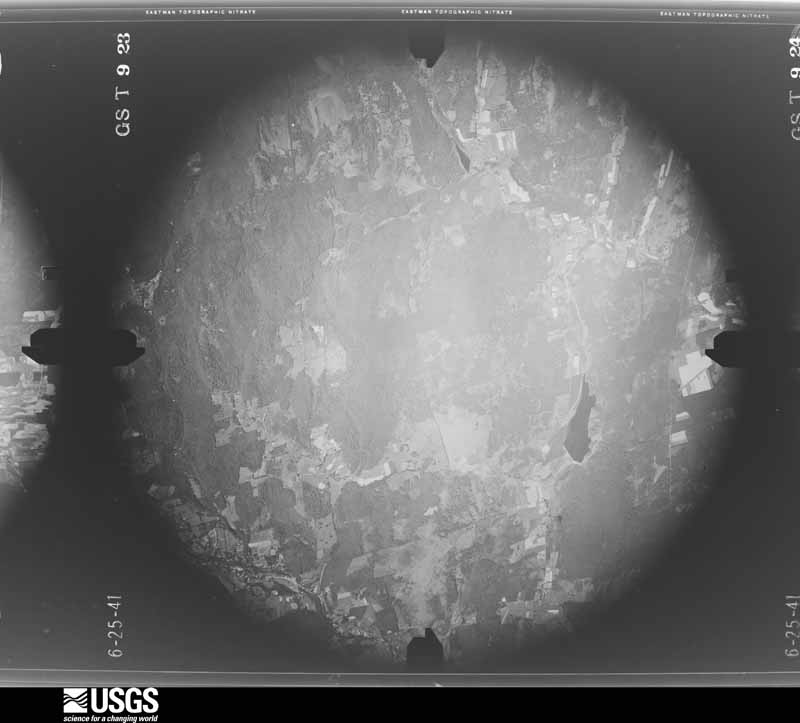
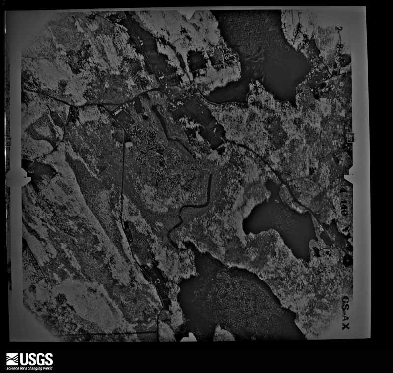
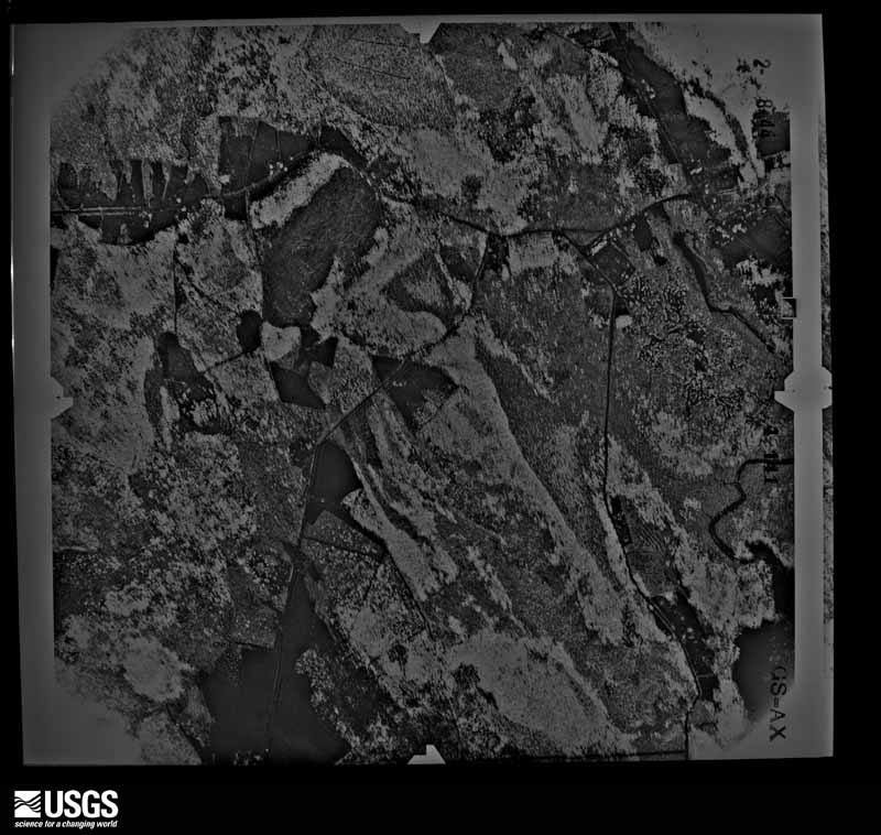
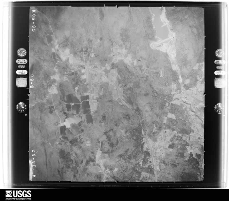
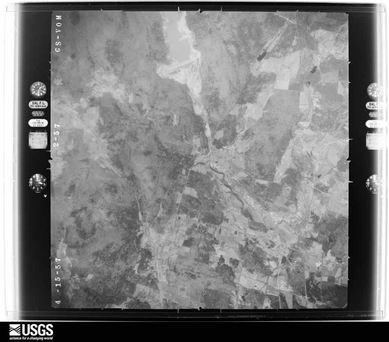
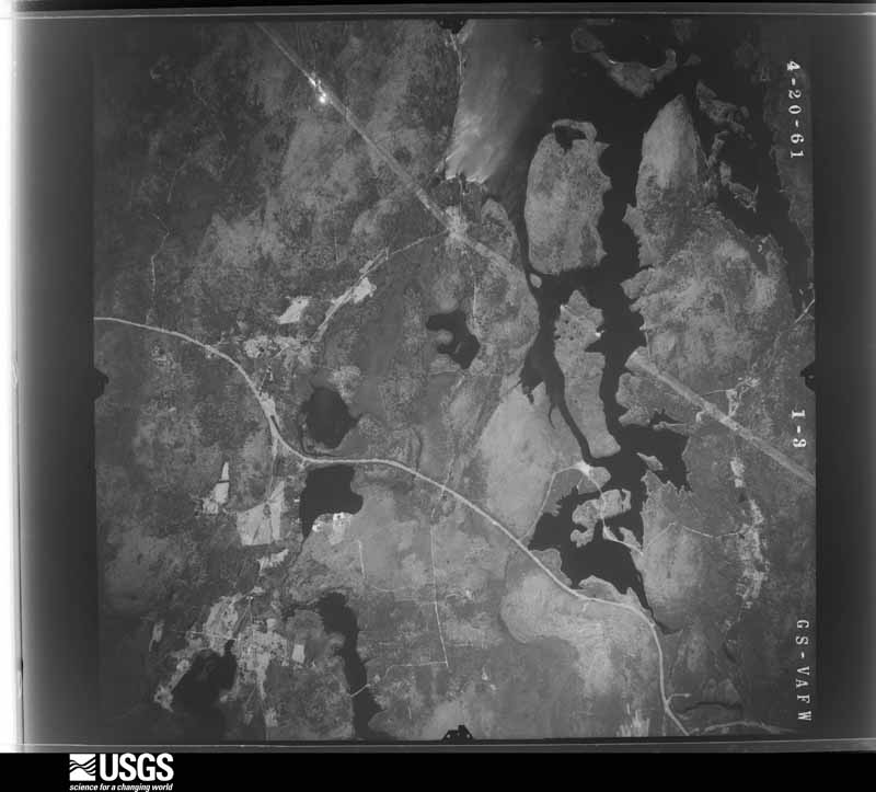
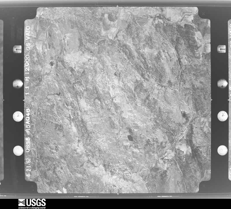
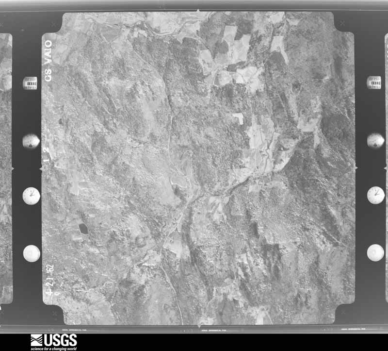
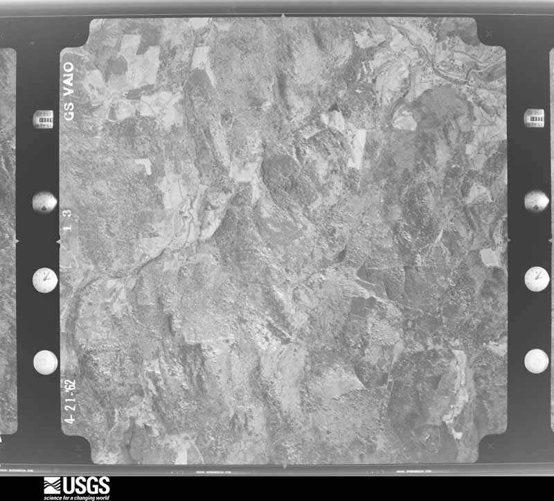
Flown by the U.S. Geological Survey
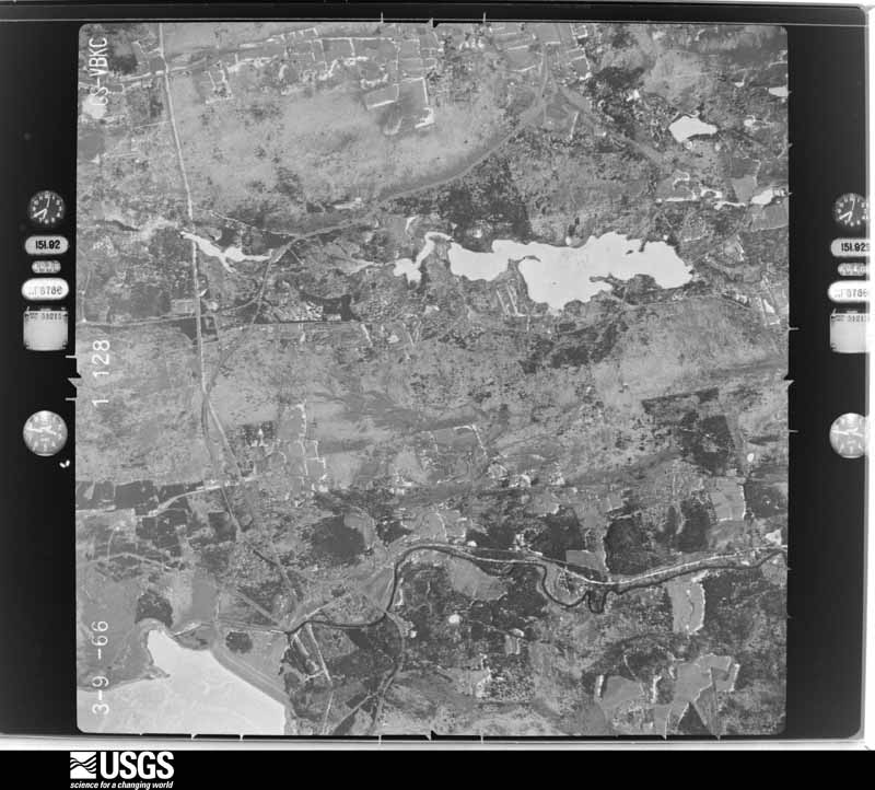
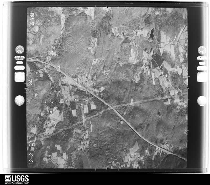
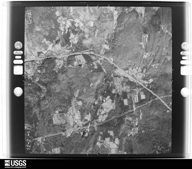
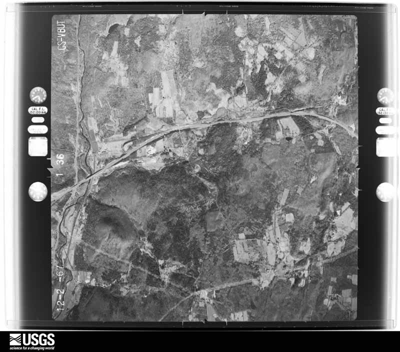
between 1937 and 1989, the Aerial Photo Single Frames collection is
the definitive mid-century view of the land: fields, roads and rivers
as the camera saw them. 2,546 frames touch this county; the
selection below spreads across the decades of flights (at most four
per year), so one flight cannot crowd out the rest. The full set is
free to browse and download at
EarthExplorer under the dataset Aerial Photo Single
Frames.
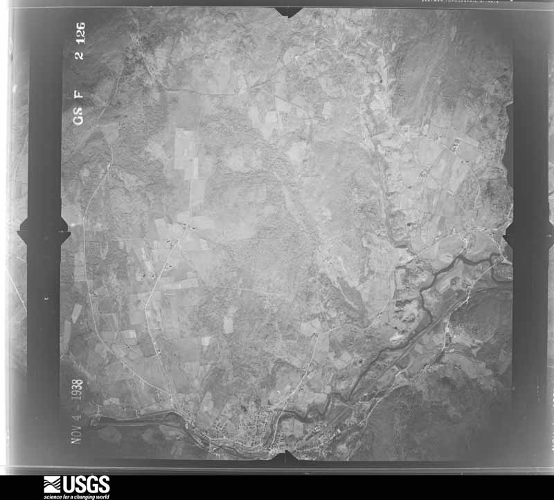
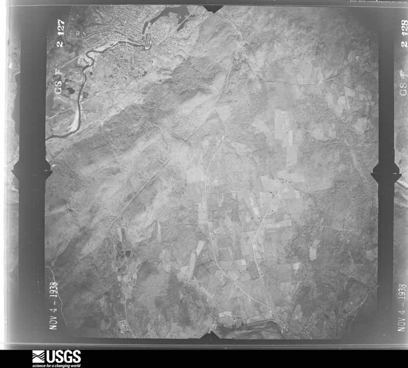
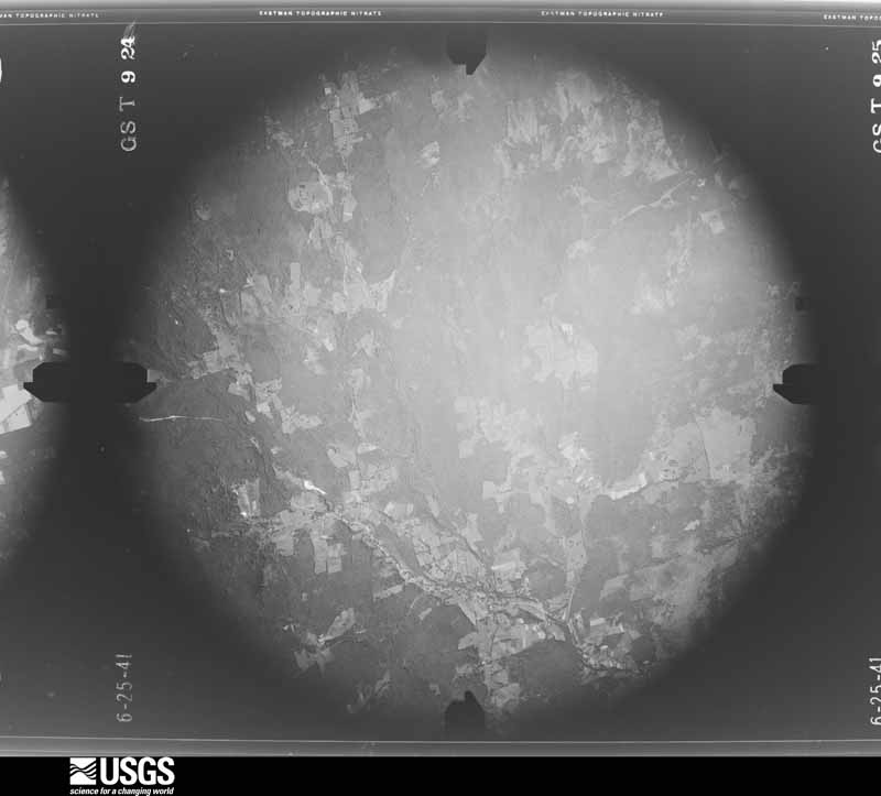
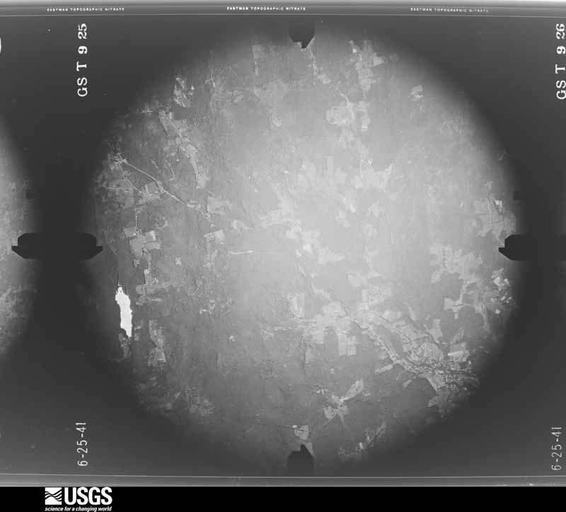
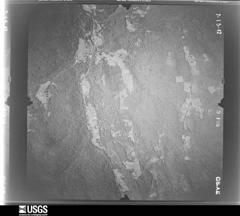
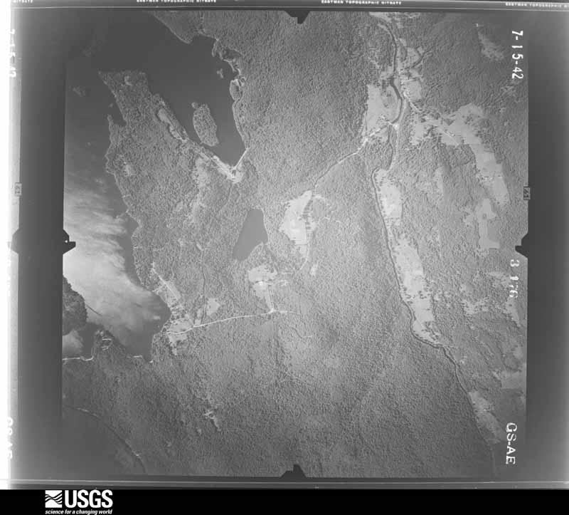
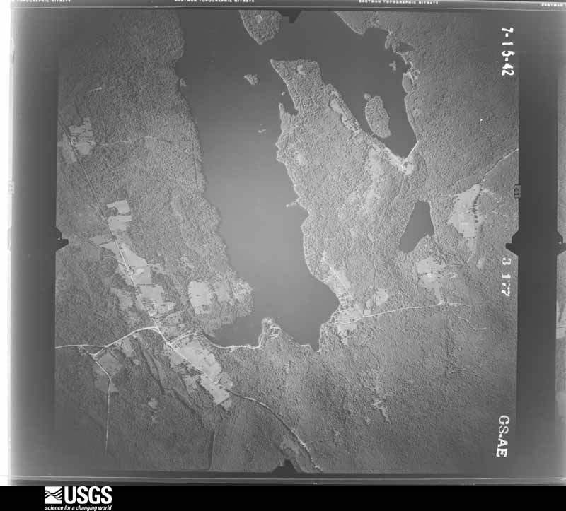
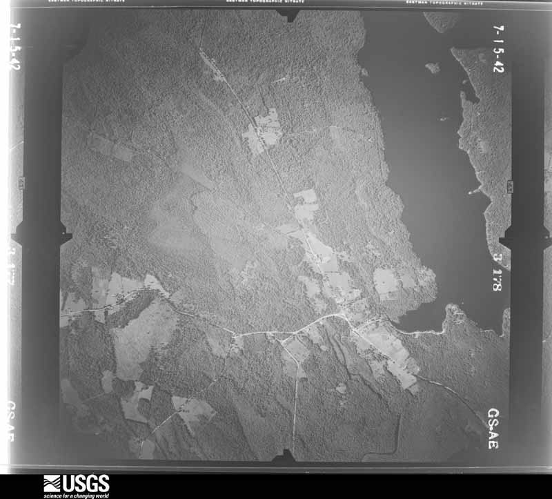
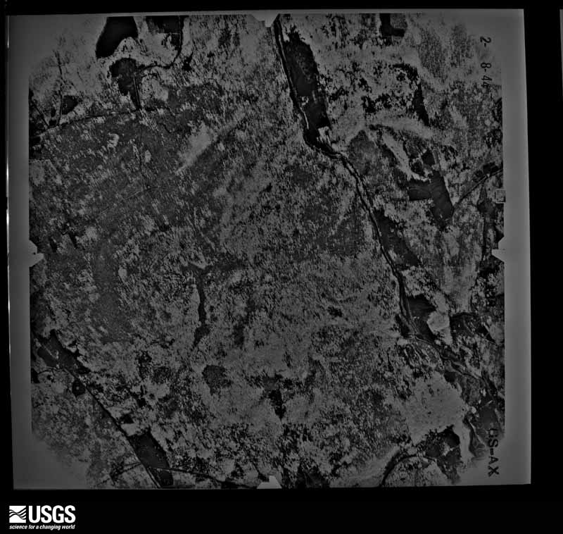
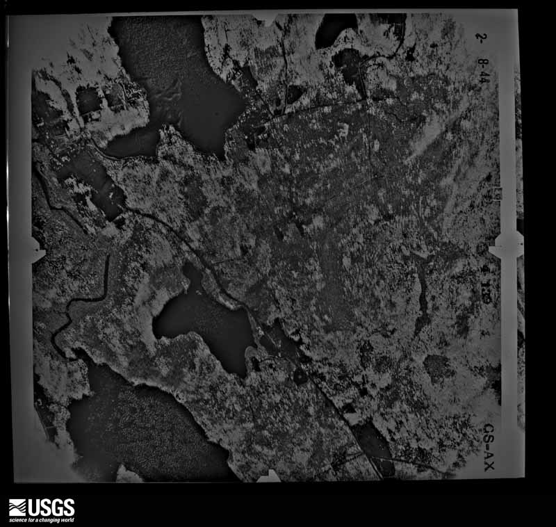
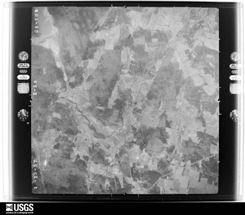
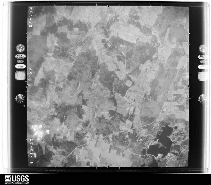
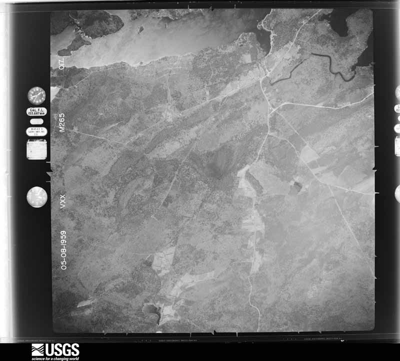
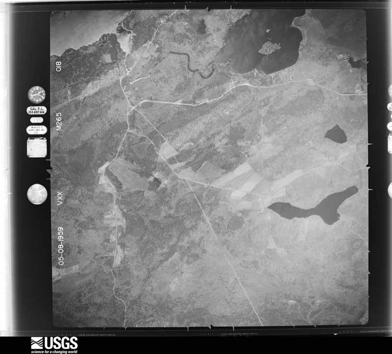
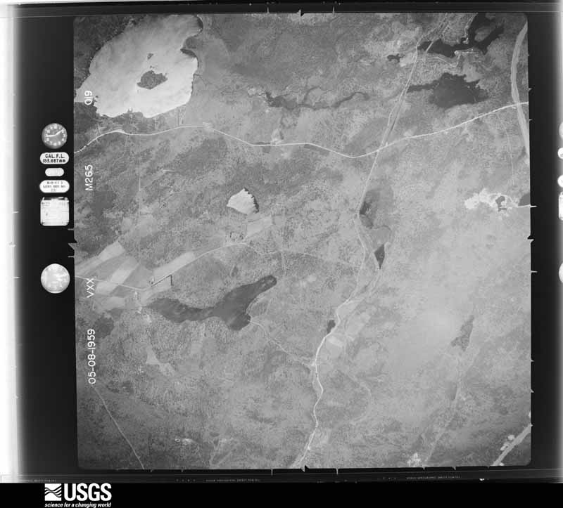
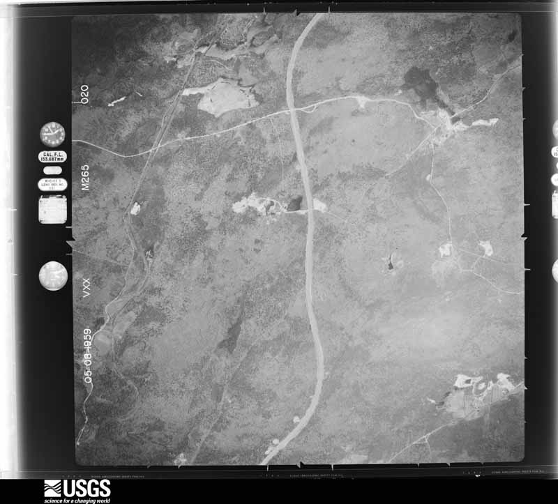
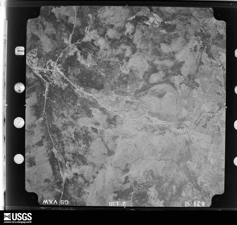
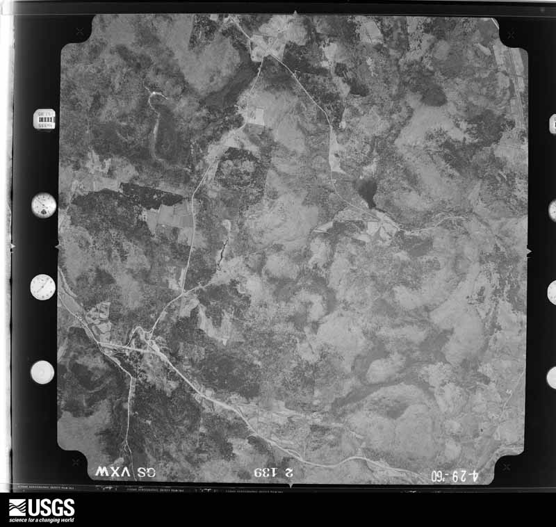
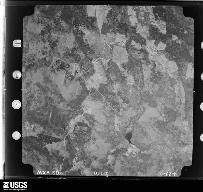
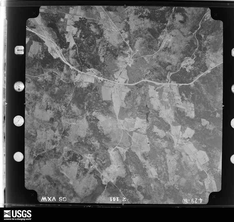
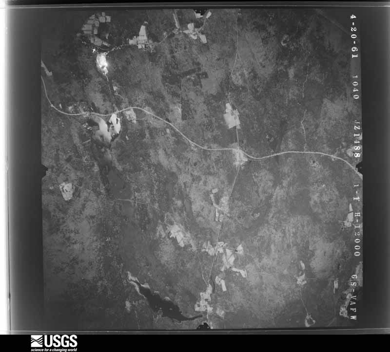
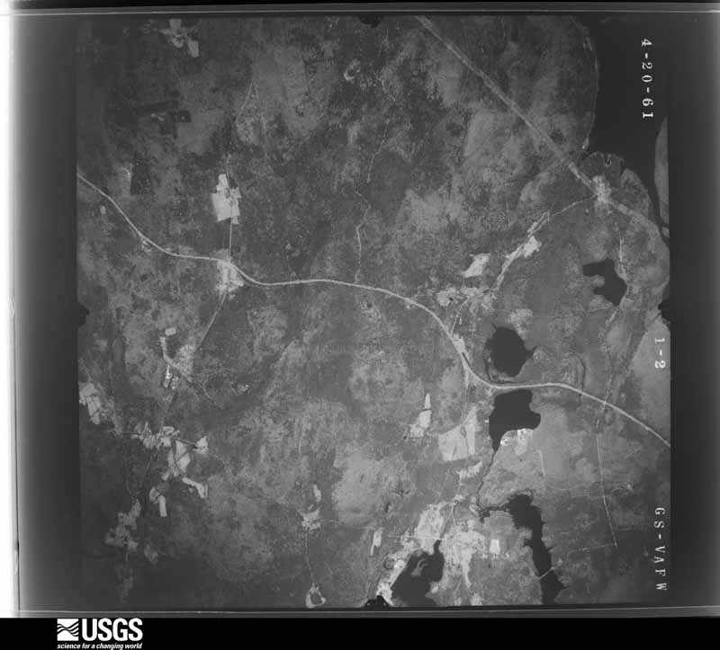
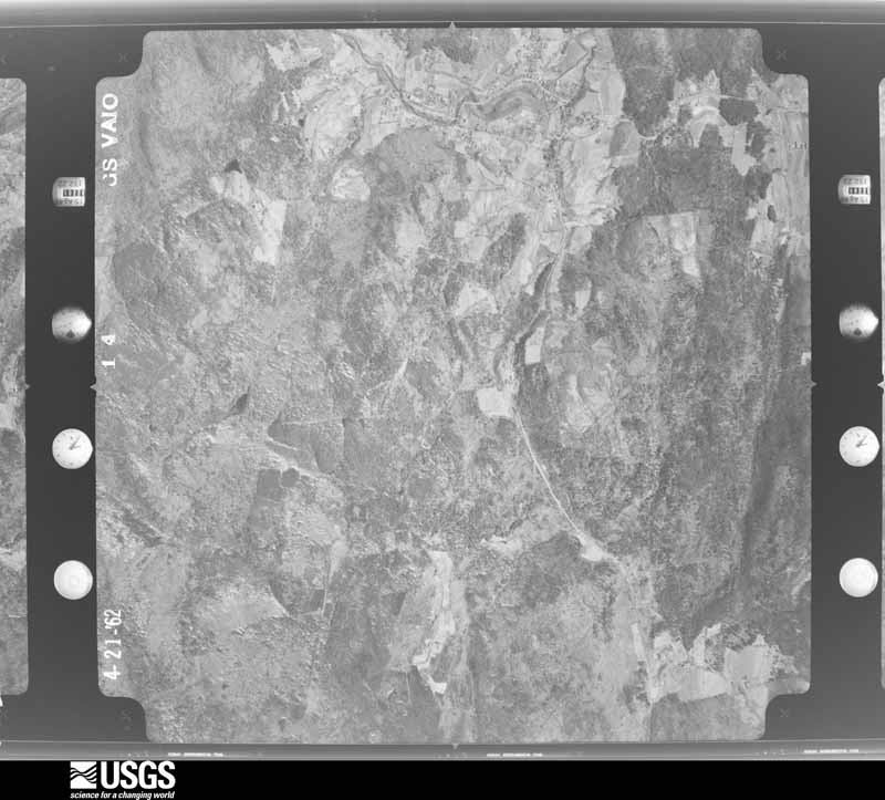
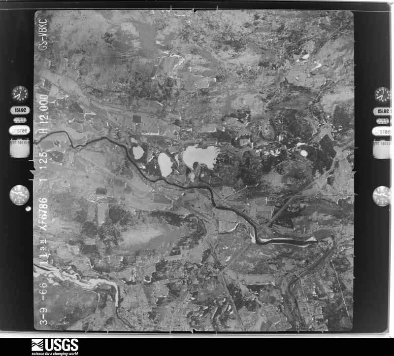
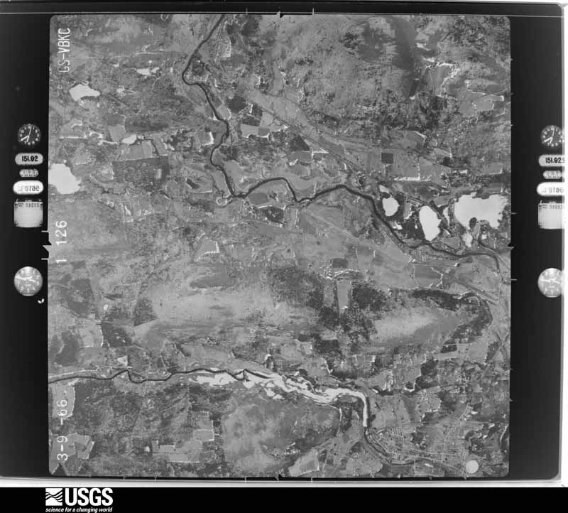
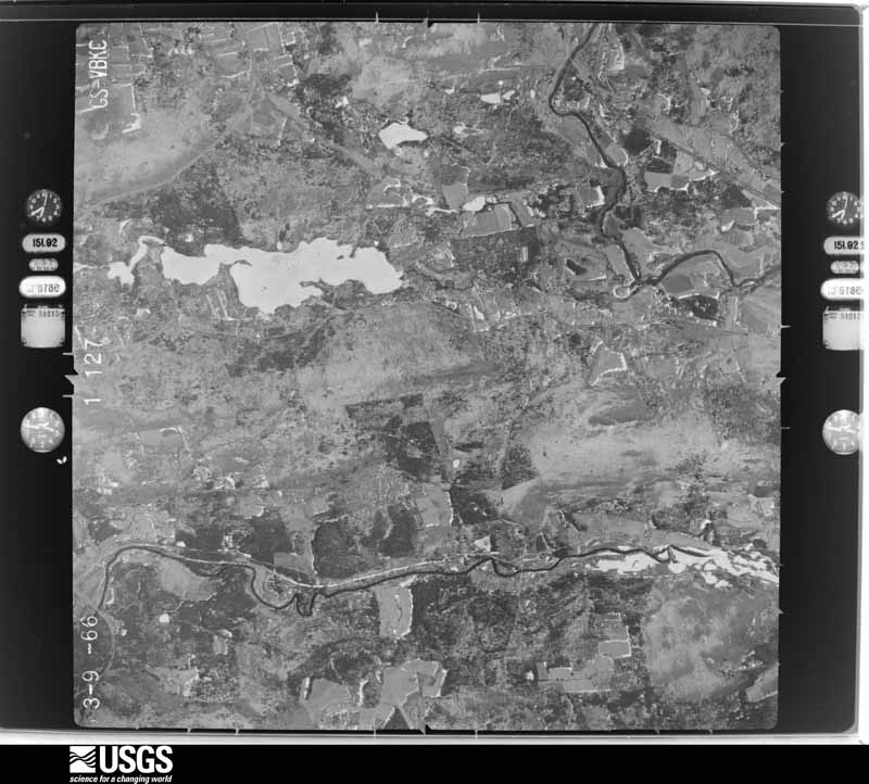
1938-11-04, scale 1:24000. U.S. Geological Survey aerial photograph.1938-11-04, scale 1:24000. U.S. Geological Survey aerial photograph.1938-11-04, scale 1:24000. U.S. Geological Survey aerial photograph.1938-11-04, scale 1:24000. U.S. Geological Survey aerial photograph.1940-06-06, scale 1:24000. U.S. Geological Survey aerial photograph.1940-06-06, scale 1:24000. U.S. Geological Survey aerial photograph.1940-06-06, scale 1:24000. U.S. Geological Survey aerial photograph.1940-06-06, scale 1:24000. U.S. Geological Survey aerial photograph.1941-06-26, scale 1:35500. U.S. Geological Survey aerial photograph.1941-06-26, scale 1:35500. U.S. Geological Survey aerial photograph.1941-06-26, scale 1:35500. U.S. Geological Survey aerial photograph.1941-06-26, scale 1:35500. U.S. Geological Survey aerial photograph.1942-07-15, scale 1:16300. U.S. Geological Survey aerial photograph.1942-07-15, scale 1:16300. U.S. Geological Survey aerial photograph.1942-07-15, scale 1:16300. U.S. Geological Survey aerial photograph.1942-07-15, scale 1:16300. U.S. Geological Survey aerial photograph.1944-02-08, scale 1:13600. U.S. Geological Survey aerial photograph.1944-02-08, scale 1:13600. U.S. Geological Survey aerial photograph.1944-02-08, scale 1:13600. U.S. Geological Survey aerial photograph.1944-02-08, scale 1:13600. U.S. Geological Survey aerial photograph.1957-04-15, scale 1:24000. U.S. Geological Survey aerial photograph.1957-04-15, scale 1:24000. U.S. Geological Survey aerial photograph.1957-04-15, scale 1:24000. U.S. Geological Survey aerial photograph.1957-04-15, scale 1:24000. U.S. Geological Survey aerial photograph.1959-05-08, scale 1:26700. U.S. Geological Survey aerial photograph.1959-05-08, scale 1:26700. U.S. Geological Survey aerial photograph.1959-05-08, scale 1:26700. U.S. Geological Survey aerial photograph.1959-05-08, scale 1:26700. U.S. Geological Survey aerial photograph.1960-04-29, scale 1:24000. U.S. Geological Survey aerial photograph.1960-04-29, scale 1:24000. U.S. Geological Survey aerial photograph.1960-04-29, scale 1:24000. U.S. Geological Survey aerial photograph.1960-04-29, scale 1:24000. U.S. Geological Survey aerial photograph.1961-04-20, scale 1:24000. U.S. Geological Survey aerial photograph.1961-04-20, scale 1:24000. U.S. Geological Survey aerial photograph.1961-04-20, scale 1:24000. U.S. Geological Survey aerial photograph.1961-04-20, scale 1:24000. U.S. Geological Survey aerial photograph.1962-04-21, scale 1:24000. U.S. Geological Survey aerial photograph.1962-04-21, scale 1:24000. U.S. Geological Survey aerial photograph.1962-04-21, scale 1:24000. U.S. Geological Survey aerial photograph.1962-04-21, scale 1:24000. U.S. Geological Survey aerial photograph.1966-03-09, scale 1:24000. U.S. Geological Survey aerial photograph.1966-03-09, scale 1:24000. U.S. Geological Survey aerial photograph.1966-03-09, scale 1:24000. U.S. Geological Survey aerial photograph.1966-03-09, scale 1:24000. U.S. Geological Survey aerial photograph.1967-12-02, scale 1:24000. U.S. Geological Survey aerial photograph.1967-12-02, scale 1:24000. U.S. Geological Survey aerial photograph.1967-12-02, scale 1:24000. U.S. Geological Survey aerial photograph.1967-12-02, scale 1:24000. U.S. Geological Survey aerial photograph.
City directories
9 volumes
The "who lived here, by year" answer:
pre-1929 public-domain directory volumes naming the county's people,
machine-read and searchable as text.
The thermometers that kept this
county's weather, and the gages that watched its rivers, as the
federal records hold them. The extremes below are measured values
from those records, not estimates.
GILBERTVILLE1885 to 1895, hottest 37.8 C, coldest -26.7 C
LUDLOW CENTER1885 to 1906, hottest 36.1 C, coldest -40.0 C
Who lived here in 1950, one enumeration
district at a time, as the Census Bureau described each district.
Each row opens its official National Archives result, with Population
Schedules and ED Maps available there.
8-1Amherst town: Amherst, unincorporated: Amherst, unincorporated - That part Bounded by Strong; N. East; Main; N. Pleasant, E. Pleasant
8-2AAmherst, unincorporated - That part Bounded by N. Hadley Rd., Lincoln Ave., Lincoln, Olmsted Rd., Unnamed street; E. Pleasant, N. Pleasant; Amity; Town line
8-2BAmherst, unincorporated - That part Bounded by Eastman Lane extended, Eastman Lane; E. Pleasant; Unnamed street, Olmsted Rd., Lincoln Ave., N. Hadley Rd.; Town line
8-3Amherst, unincorporated - That part Bounded by Amity; S. Pleasant; Hillcrest Pl., Hillcrest Pl. extended, Boston and Maine Railroad; Town line
8-4Amherst, unincorporated - That part Bounded by Main; S. East; Mill Lane, West; S. Pleasant
8-5Amherst town - That part Bounded by Town line; Town line, Shutesbury Rd., N. East; Strong, E. Pleasant, Eastman Lane; Town line
8-6Amherst town - That part Bounded by Shutesbury Rd.; Town line; Town line; Granby Rd., Old Bay Rd., S. East, Shays, Mill Lane, S. East, N. East
8-7Amherst town - That part Bounded by Boston and Maine Railroad, Hillcrest Pl. extended, Hillcrest Pl.; S. Pleasant, Shays, S. East, Old Bay Rd., Granby Rd.; Town line; Town line
8-8Belchertown town: Belchertown town - That part east of Jabish Brook
8-9Belchertown town - That part west of Jabish Brook and north of U.S. Hwy. 202, excluding Belchertown State School for Feeble-minded
8-10Belchertown town - Belchertown State School for Feeble-minded (In Belchertown town)
8-11Belchertown town - That part south of U.S. Hwy. 202 and west of Jabish Brook
8-14Easthampton town: Easthampton town - That part Bounded by Town line; Town line; Mountain Rd., Holyoke, Allen, Allen extended, Brickyard Brook, Everett, Unnamed stream, Boston and Maine Railroad, Ferry, New York, New Haven and Hartford Railroad
8-15Easthampton town - That part Bounded by Town line; New York, New Haven and Hartford Railroad, Terrace View, Pleasant Green W., Pleasant, Main, Glendale, Newell, South, Main, Greenwood Ct., Park; Town line; Town line
8-16Easthampton town - That part Bounded by Glendale, Main; Park; Greenwood Ct., Main; South, Newell
8-17Easthampton town - That part Bounded by Terrace View; Terrace View; Pleasant; Pleasant Green W.
8-18Easthampton town - That part Bounded by Pleasant, Ferry; New York, New Haven and Hartford Railroad; Union, High, Summer
8-19Easthampton town - That part Bounded by Ferry; Lincoln, Broderick; Everett, Hudson, Grant, Franklin, Everett, Adams, Liberty; Union, New York, New Haven and Hartford Railroad
8-20Easthampton town - That part Bounded by Ferry; Parsons; Everett; Broderick, Lincoln
8-21Easthampton town - That part Bounded by Boston and Maine Railroad; Unnamed stream; Everett; Parsons, Ferry
8-22Easthampton town - That part Bounded by Grant, Hudson, Everett; Brickyard Brook; Clark; Franklin
8-23Easthampton town - That part Bounded by Clifford, Knipfer Ave.; Franklin; Maple, Chapel, Cottage; Adams
8-24Easthampton town - That part Bounded by Liberty, Adams, Everett; Franklin; Knipfer Ave., Clifford, Adams, Cottage; Union
8-25Easthampton town - That part Bounded by Pleasant; Summer, High, Union, Williston Ave.; Hisgen Ave., Bryan Ave.; Park, Main
8-26Easthampton town - That part Bounded by Cottage; Holyoke; Lang Ave., Lang Ave. extended, Nashawannuck Pond; Williston Ave. extended, Williston Ave.
8-27Easthampton town - That part Bounded by Maple, Franklin, Clark; Brickyard Brook; Allen extended, Allen; Holyoke, Chapel
8-28Easthampton town - That part Bounded by Bryan Ave., Hisgen Ave., Williston Ave. extended, Nashawannuck Pond, Lang Ave. extended, Lang Ave.; Holyoke, Mountain Rd., Town line; Town line; Town line, Park
8-30Palmer town - That part outside the unincorporated places of Palmer and Three Rivers Bounded by Boston and Albany Railroad; Hatchery Rd., Ware Rd., Stimmon Rd.; State Hay. 32, Thorndike, Mt. Dumpling Rd.; Boston and Albany Railroad (See separate maps for boundaries of the unincorporated places of Palmer and Three Rivers)
8-31Granby town: St. Hyacinth's Theological Seminary (Friar's Minor Conventuals) (In Granby town)
8-32Hadley town: Hadley town - That part Bounded by Town line; Town line; Rocky Hill Rd.; Town line
8-33Hadley town - That part Bounded by Rocky Hill Rd.; Town line; Boston and Maine Railroad, State Hwy. 9; Town line
8-34Hadley town - That part Bounded by State Hwy. 9, Boston and Maine Railroad; Town line; Town line; Town line
8-35Hatfield town: Hatfield town - That part Bounded by Town line; Town line; N. Hatfield Rd.; Boston and Maine Railroad
8-36Hatfield town - That part Bounded by N. Hatfield Rd.; Town line; Town line; Mill River, Boston and Maine Railroad
8-37Hatfield town - That part Bounded by Town line; Boston and Maine Railroad, Mill River; Town line; Town line
8-38Huntington town: Huntington, unincorporated (See boundaries shown on aerial photo CXI-1B-98)
8-39Huntington town - That part outside Huntington, unincorporated (See aerial photo CXI-1B-98 for boundaries of Huntington, unincorporated)
8-41Northampton city: Northampton city - That part of Ward 1, including all islands in this Enumeration District Bounded by City limits; City limits, Boston and Maine Railroad; North, Summer; State, Ward line, New York, New Haven and Hartford Railroad (Williamsburg Branch), Jackson, Florence Bridge Rd., Ward line
8-42Northampton city - That part of Ward 1, excluding Northampton Hotel and Wiggins Old Tavern and Draper Hotel Bounded by Summer, North; Boston and Maine Railroad; Main; State
8-43Northampton city - Northampton Hotel and Wiggins Old Tavern (In Northampton city, Ward 1)
8-44Northampton city - Draper Hotel (In Northampton city, Ward 1)
8-45Northampton city - That part of Ward 1 Bounded by Main; Boston and Maine Railroad; Ward line, New York, New Haven and Hartford Railroad; New South WARD 2
8-46Northampton city - That part of Ward 2 Bounded by New York, New Haven and Hartford Railroad (Williamsburg Branch); Ward line, Stoddard, Round Hill Rd., Bancroft Rd.; Bancroft Rd.; Franklin, Prospect, Jackson
8-47Northampton city - That part of Ward 2 Bounded by Stoddard; State; Summer; Crescent, Round Hill Rd.
8-48Northampton city - That part of Ward 2 Bounded by Arlington, Franklin, Bancroft Rd., Round Hill Rd.; Crescent, Henshaw Ave.; Elm, Washington Ave., Washington Pl.; Forbes Ave., Elm, Massasoit
8-49Northampton city - That part of Ward 2 Bounded by Summer; State; Main, Elm; Henshaw Ave.
8-50Northampton city - That part of Ward 2 Bounded by Elm, Main; New South, New York, New Haven and Hartford Railroad; Mill River; West, Factory, College Lane
8-51Northampton city - That part of Ward 2 Bounded by Ward line, Washington Ave.; Elm; College Lane, Factory, West; Mill River
8-52Northampton city - That part of Ward 3, including all islands in this Enumeration District Bounded by Boston and Maine Railroad, City limits; Old Ferry Rd. extended, Old Ferry Rd., Strongs Rd.; Fair; Bridge, Lincoln Ave., Bates
8-53Northampton city - That part of Ward 3 Bounded by Boston and Maine Railroad; Bates, North, Parsons; Linden, North; Boston and Maine Railroad
8-54Northampton city - That part of Ward 3 Bounded by North, Bates; Lincoln; Bridge; Parsons
8-55Northampton city - That part of Ward 3 Bounded by North, Linden; Parsons; Cherry, Market, Bridge, Main; Boston and Maine Railroad
8-56Northampton city - That part of Ward 5 Bounded by Cherry; Parsons; Bridge; Market
8-57Northampton city - That part of Ward 3 Bounded by Main, Bridge; Pomeroy Ter., Hancock, Williams; Holyoke; Boston and Maine Railroad
8-58Northampton city - That part of Ward 3, including all islands in this Enumeration District Bounded by Fair, Strongs Rd., Old Ferry Rd., Old Ferry Rd. extended, City limits; City limits; Old Bed of Mill River, Boston and Maine Railroad, Holyoke, Williams, Hancock, Pomeroy Ter., Bridge
8-59Northampton city - That part of Ward 4 Bounded by New York, New Haven and Hartford Railroad, Ward line; Wright Ave., Mount Tom Rd.; Dike Rd., Manhan Rd., Potash Rd.; Old Springfield Rd., Fort, East, Columbus Ave., South, New South
8-60Northampton city - That part of Ward 4 Bounded by Mill River, New York, New Haven and Hartford Railroad; New South, South; Grove; Earle, West
8-61Northampton city - That part of Ward 4, excluding Northampton State Hospital Bounded by Burts Pit Rd., Clemont, Mill River; West, Earle, Grove South, Pynchon Meadow Rd., Old Springfield Rd.; City limits; Ward line
8-62Northampton city - Northampton State Hospital (In Northampton city, Ward 4)
8-63Northampton city - That part of Ward 4, including all islands in this Enumeration District Bounded by Columbus Ave., East, Fort, Old Springfield Rd., Potash Rd., Manhan Rd., Dike Rd., Mount Tom Rd., Wright Ave.; Old Bed of Mill River, City limits; City limits; Old Springfield Rd., Pynchon Meadow Rd., South
8-64Northampton city - That part of Ward 5 Bounded by City limits; Ward line, Florence Bridge Rd., Jackson; Prospect, Locust; Straw Ave., Ward line
8-65Northampton city - That part of Ward 5 Bounded by Locust, Prospect; Woodlawn Ave.; Elm, Milton, Federal, Nonotuck; New, Beacon, S. Main, Berkshire Ter.
8-66Northampton city - That part of Nard 5 Bounded by Prospect; Franklin, Arlington, Massasoit, Elm, Forbes Ave.; Washington Pl., Federal; Milton, Elm, Woodlawn Ave.
8-67Northampton city - That part of Ward 5 Bounded by Warner; Federal, Washington Pl., Washington Ave., Ward line; Mill River; Clemont, Ladd Ave., Riverside Dr., Hinckley
8-68Northampton city - That part of Ward 5 Bounded by Nonotuck; Federal, Warner, Hinckley, Riverside Dr., Ladd Ave., Clemont; Mill River; Ward line, Landy Ave.
8-69Northampton city - That part of Ward 6 Bounded by Ward line; Ward line, Straw Ave.; High; N. Maple
8-70Northampton city - That part of Ward 6 Bounded by High; Straw Ave.; Main; N. Maple
8-71Northampton city - That part of Ward 6 Bounded by Main; Berkshire Ter., S. Main; Beacon, Pine; Park, Meadow, N. Main
8-72Northampton city - That part of Ward 6 Bounded by Meadow, Park, Pine, Beacon; New, Nonotuck, Landy Ave., Ward line; Mill River; Mill River
8-73Northampton city - That part of Ward 6 Bounded by Turkey Hill Rd., West; Mill River, Clemont, Burts Pit Rd., Ward line; City limits; City limits
8-74Northampton city - That part of Ward 7, excluding Veterans Administration Hospital Bounded by City limits; Ward line; Ward line, N. Maple, Oak, Bridge Rd.; N. Main, Haydenville Rd., Berkshire Trail
8-75Northampton city - Veterans Administration Hospital (In Northampton city, Ward 7)
8-76Northampton city - That part of Ward 7 Bounded by City limits; Berkshire Trail, Haydenville Rd., Florence, Arch, Main, Spring, Leeds Spring; Chesterfield Rd.; City limits
8-77Northampton city - That part of Ward 7 Bounded by Arch, Florence, N. Main, Bridge Rd.; Oak, N. Maple; N. Main, Meadow, Mill River; Florence, Leeds Spring, Spring, Main
8-78Northampton city - That part of Ward 7 Bounded by Chesterfield Rd., Leeds Spring, Florence; West; West, Turkey Hill Rd.; City limits
8-82South Hadley town: South Hadley, unincorporated: South Hadley, unincorporated - That part Bounded by Amherst Rd., Bitter Sweet Lane; Town line; Morgan; Park, Woodbridge
8-83South Hadley, unincorporated - That part Bounded by Bachelor Brook; Amherst Rd., Woodbridge, College; Stony Brook; 1/4 mile offset line west of and parallel to College, Ferry, Hadley
8-84South Hadley, unincorporated - That part Bounded by Park; Mosier; Unnamed stream, Stony Brook; College
8-85South Hadley town - That part outside South Hadley, unincorporated Bounded by Town line; Town line, Bitter Sweet Lane, Amherst Rd., Bachelor Brook, Hadley, 1/4 mile offset line west of and parallel to College, Stony Brook, College, Newton; Kendrick, Fairview, Lawn, Fulton, Lyman, Brainerd; Alvord, Town line (See separate map for boundaries of South Hadley, unincorporated)
8-86South Hadley town - That part Bounded by Kendrick; Newton, Lyman; Washington Ave., Broad, Lincoln Ave., Newton, Joffre Ave.; Viviani, Berwyn, Lawn, Lyman, Fulton, Lawn, Fairview
8-87South Hadley town - That part Bounded by Leaping Well Brook; Granby Rd.; Pitroff Ave., Washington Ave., Lyman; Newton
8-88South Hadley town - That part outside South Hadley, unincorporated Bounded by Stony Brook, Unnamed Stream, Mosier, Morgan; Town line; Town line; Willimansett, Granby Rd., Leeping Well Brook, College (See separate map for boundaries of South Hadley, unincorporated)
8-89South Hadley town - That part Bounded by Lincoln Ave., Broad, Washington Ave.; Pitroff Ave., Willimansett; Town line, Ludlow, Hartford, Hartford extended, Ingram, South, Graves, North; Lamb, Newton
8-90South Hadley town - That part Bounded by North; Graves, South, Ingram, Hartford extended, Hartford, Ludlow; Town line; Main, Lamb
8-91South Hadley town - That part Bounded by Gaylord; Lamb, Main; Town line; Buttery Brook
8-92South Hadley town - That part Bounded by Bardwell, Carlton, Prospect, Gaylord; Buttery Brook; W. Main, N. Main; Lathrop
8-93South Hadley town - That part Bounded by N. Main, W. Main; Buttery Brook; Town line; Taylor extended, Taylor
8-94South Hadley town - That part Bounded by Alvord, Brainard, Lyman, Lawn, Berwyn, Viviani, Joffre Ave.; Newton; Gaylord, Prospect, Carlton, Bardwell, Lathrop, Taylor, Taylor extended, Town line; Town line
8-95Ware town: Ware, unincorporated: Ware, unincorporated - That part Bounded by Church; State Hwy. 32, Town line, State Hwy. 32; East, Main; Park, High, Church
8-96Ware, unincorporated - That part Bounded by Highland; Church; High, Bank, Pleasant; North
8-97Ware, unincorporated - That part Bounded by North; North; Main; Parker, Pleasant, Greenwich
8-98Ware, unincorporated - That part Bounded by Walker Rd., Pleasant; Pleasant, Parker, Main; West; Warner Rd., Topper Rd.
8-99Ware, unincorporated - That part Bounded by West, Pulaski; South, Dunham Ave.; Boston and Albany Railroad; Malbeouf Rd.
8-100Ware, unincorporated - That part Bounded by Pleasant, Bank, High, Park, E. Main; Ware River; Ware River, South, Pulaski; West, Main, North
8-101Ware, unincorporated - That part Bounded by Ware River; East; Boston and Albany Railroad; Dunham Ave., South
8-102Ware town - That part Bounded by Miner Rd. Town line; Town line, Gilbertsville Rd., Church; Highland, North, Greenwich Rd., Pleasant; Walker Rd.; E. Greenwich Rd.
8-103Ware town - That part Bounded by Town line; Town line, Miner Rd., E. Greenwich Rd., Walker Rd., Topper Rd., Warner Rd.; West, Ware, Town line; Town line
8-104Ware town - That part Bounded by West, Malbeouf, Boston and Albany Railroad, East; Town line; Town line; Ware
Every Sanborn volume opens with a printed index
naming the town's mills, tanneries, hotels and works by proprietor. Those
indexes were read off the scanned sheets by machine and then matched to each
other, so a business surveyed four times appears here once, with the years it
survived. 19 of these 80 were named in more than one atlas. Each carries a
crop of the line it was read from: the spelling is the recogniser's and the
1880s lithographer's, and the scan behind it is the proof.
Every wildfire the federal occurrence
database records inside this county: 558 of them, burning about
811 acres. 47 started naturally and 7 were
recorded as arson. Each settlement page carries the fires within five
miles of it.
Reported cause
Fires
Equipment and vehicle use
166
Missing data/not specified/undetermined
163
Debris and open burning
105
Recreation and ceremony
48
Natural
47
Power generation/transmission/distribution
9
Arson/incendiarism
7
Smoking
6
Railroad operations and maintenance
5
Misuse of fire by a minor
2
The five largest, by the area the report
gives. One of them was set deliberately.
Date
Cause
Size
Reported by
Name on the report
26 October 2001
Missing data/not specified/undetermined
250 acres
Massachusetts Bureau of Forest Fire Control
HOLYOKE RANGE FIRE
25 June 2020
Natural
56 acres
Massachusetts Bureau of Forest Fire Control
JOSHUA HILL FIRE
20 April 2014
Arson/incendiarism
26 acres
Sylvio O. Conte National Wildlife Refuge
MT TOM
7 May 2020
Equipment and vehicle use
25 acres
Massachusetts Bureau of Forest Fire Control
not named
9 March 2020
Recreation and ceremony
24 acres
Massachusetts Bureau of Forest Fire Control
not named
21 May 2020
Missing data/not specified/undetermined
20 acres
Massachusetts Bureau of Forest Fire Control
MATHEWS RIDGE FIRE
31 March 2016
Missing data/not specified/undetermined
18 acres
Massachusetts Bureau of Forest Fire Control
not named
16 April 2017
Equipment and vehicle use
13 acres
Massachusetts Bureau of Forest Fire Control
not named
Every settlement page carries the fires within five
miles of it - see the settlement index below.
Storms, 1954 to
2026
60 of 641 shown
The
NOAA Storm Events Database holds
641 reports for this county, causing 1 death,
20 injuries and about $7,669,150 in recorded property damage.
Each settlement page carries the reports that name it.
Kind of event
Reports
Thunderstorm Wind
384
Hail
139
Lightning
44
Flash Flood
30
Flood
29
Tornado
9
Heavy Rain
5
Funnel Cloud
1
The most serious of them, by death, then
injury, then recorded damage. The accounts are quoted exactly as the
forecast office filed them.
Five solar panels were blown from the roof of the three story Knowles Engineering Building at the University of Massachusetts at Amherst. In addition, six people were injured when two event tents were blown down at a barbeque at the university. Construction fences and a tree were also downed.
Lightning struck the medical office building on the campus of Baystate Mary Lane Hospital in Ware, blowing out the building's electrical panel. In addition, three people who were on the telephone at the time of the strike reported feeling numbness and a tingling in their arms. All three walked over to the hospital to be checked out and were fine.
Three students at the MacDuffie School in Granby were struck by lightning while sitting outside at a picnic table. Two students were knocked unconscious and were hospitalized. The third student was further away when the lightning struck and was not directly hit, suffering less serious effects. The students were 16, 17, and 20 years of age. All of the students reovered from their injuries.
A woman was injured when lightning came through the open garage door and struck her ping pong paddle. She experienced pain in her right arm, an irregular heart rhythm and the tissue in her throat was burned.
Record flooding along the Mill River caused extensive flooding in Northampton. The river crested at 15.6 feet on the 16th, which was the highest crest on record, and well above the previous record crest of 13.7 feet which occurred in October, 2005. Many roads near the river were closed and some evacuations took place as flood waters threatened nearby homes and businesses.|Minor flooding also affected the mainstem Connecticut River through Northampton. A crest of 119 feet was recorded at 430 pm on the 17th (flood stage is 112 feet).
After receiving roughly four and a half inches of rain from Tropical Storm Irene, an overtopped dike resulted in the closure of West Street in Northampton. At exit 24 on Route 5, there was five to six feet of water flooding the road, with two cars floating down the road.
A tornado touched down in Goshen at Pine Road, just to the east of Hammond Pond. Several pine trees were snapped mid-way and two homes were damaged by trees falling onto them. A portion of Route 9 was closed between the Fire Station and the intersection with Route 112. There was significant tree damage on the southwest shore of Highland Lake, with numerous trees snapped half-way up from their bases and many uprooted. The tornado crossed Highland Lake and imagery received after-the-fact from town officials also indicated significant tree damage on the northeast side of Highland Lake from Camp Howe southward along Headquarters Road into the Daughters of the American Revolution (DAR) State Forest. The damage was consistent with 90 mph wind gusts, with a rating of EF-1 on the Enhanced Fujita Scale.|The tornado was on the ground for 2.9 miles with a maximum width of 100 yards. It lasted from 718-721 PM before lifting up briefly and then touching down again in Conway, MA.
In Amherst, a newly paved driveway washed out onto Bay Road. There was substantial damage on the University of Massachusetts-Amherst campus. In the Morrill Science Center IV, a transformer blew up when one foot of water flooded the room where it is housed. Two to six feet of water flooded portions of the Murray D. Lincoln campus center damaging meeting rooms, offices, and one escalator. Finally, in the Boyden Gymnasium, floodwaters caused a concrete gym floor to heave. In Ware, Anderson Road was flooded out, closing the road.
After receiving roughly four and a half inches of rain with Tropical Storm Irene, the Mill River flooded, closing the following roads: Meadow Street, Spring Street, and Reservoir Road.
A thunderstorm produced a strong microburst in Easthampton near the Holyoke line. Numerous trees were uprooted or snapped off on the west side of Mount Tom. A number of these trees were downed onto Route 141 and Mountain Road, trapping several cars on the roadway and causing Mountain Road to be closed by local officials.
Lightning struck a home on Ridgecrest Road, setting a fire. Much of the home was damaged by the fire and the resulting smoke and water. Firefighters were able to put out the blaze, but the home is unlivable.
Numerous trees were downed in Hatfield, Williamsburg, Westhampton, Northampton, and Easthampton which blocked roadways in some cases. One lane of Interstate 91 in Northampton was blocked by a fallen tree near Exit 20. Trees were downed onto houses on Ellington Road and Water Street in Northampton and on Strong Street in Easthampton. In Amherst, large branches were downed at UMASS. A tree was downed in Hadley near the Connecticut River.
In the Florence section of Northampton, a 50 foot by 50 foot wooden permanent pavilion structure was blown crooked at a landmark restaurant/tavern. The footings, which were lifted and bent, were attached by a metal bracket to concrete. The pavilion can accomodate 18 tables with 4 people per table. The building inspector classified the damage as $20,000. Slightly farther to the southeast, a 50 ft by 75 ft. section of roofing, including insulation and rubber membrane, was peeled off of the Smith Vocational and Agricultural High School. There was little in the way of water damage inside the school. The Northampton building inspector rated the roof damage as $30,000. Still farther to the southeast, a tree was down on Washington Avenue, as reported by amateur radio.
Route 9 between South Street and River Road was washed out, impassable, severely damaged and closed by the Massachusetts State Police. In addition, portions of Route 9 and Old Goshen Road were closed due to mudslides. Hyde Hill Road also was washed out. A basement was flooded with one foot of water on Village Hill Road.
In Northampton, Route 9 near the VA hospital was flooded with a foot of water. Portions of Market and State Streets were flooded. King Street was flooded in front of the McDonald's. Multiple basements along Church Street were flooded with 6 to 8 feet of water. Portions of route 202 in South Hadley were flooded with at least a foot of water.
A tree was downed on Chesterfield Road in Williamsburg and on South Street in Chesterfield. A tree was downed onto a car on Harlow Avenue in Northampton, and another tree fell onto wires. A large tree was downed onto a house on West Summit Street in South Hadley.
After receiving six to eight inches of heavy rain from Tropical Storm Irene, Sodom Brook in Westhampton overflowed its banks. This flooded South Road, making it impassable.
Trees, large tree limbs, and wires were downed by thunderstorm winds. Multiple roads were closed in Granby due to downed trees blocking them. One tree was downed onto a house along Route 202 in Granby.
Significant street flooding occurred with several roads closed during the storm. A few of these streets were washed out and badly damaged, including Union Street. About three inches of rain fell with the storms that moved through at this time.
Eight trees were downed by thunderstorm winds, including on Dodwells Road, Fairgrounds Road, and Route 112. A large tree limb was downed onto a house on Mount Road.
Trees and wires at the intersection of King Street and Trumbull Road were downed by thunderstorm winds. Trees and wires at the intersection of State and Summer Streets were downed by thunderstorm winds damaging a transformer.
Trees on Route 47 in Hadley were downed by thunderstorm winds. In Amherst, trees and wires on Mill Valley, Moody Bridge, and Chapel Roads and East Pleasant, Mechanic and East Maple Streets were downed by thunderstorm winds. One of these trees was downed onto a car. Two water treatment plants were also damaged in the resulting power loss in Amherst.
Numerous trees and wires were downed in Ware, including along Gilbertville and Campbell Roads. Six other roads were also closed due to the downed trees and wires.
Over three inches of rain fell in one hour in Easthampton resulting in flash flooding across the city. Pomery Road was impassable and closed because of the flooding. One person was rescued after being trapped in a car. Trees and wires were downed due to the ground washing out beneath them.
In Belchertown a beaver dam broke, caused a road washout and homes between 421 and 461 East Street to become flooded. People were evacuated. The report was confirmed by the Belchertown Fire Department.
Trees and wires on Rocky Hill Road and Farm Lane were downed by thunderstorm winds. One of these trees closed Farm Lane until the tree could be removed.
Large trees were downed on Belanger Road, Couture Road, and Aimee Road. One of the trees on Aimee Road fell on a house, damaging the fence on the property.
A tree and wires on Mockanum Road were downed onto a house.
Mines and
quarries
102 recorded
The Survey's mineral resources record
lists 102 workings inside this county. 35 still
produce and 67 are closed or unrecorded. Each settlement
page carries the workings within five miles of it.
Commodity
Workings
Lithium
17
Sand and Gravel, Construction
14
Lead
8
Brick Clay
8
Clay
7
Manganese
6
Stone, Dimension
6
Stone, Crushed/Broken
6
Stone
5
Iron
3
Talc-Soapstone
3
Barium-Barite
3
Flagstone
3
Mica
2
The least common of them first, because a
county's hundredth gravel pit says nothing its first ten did not.
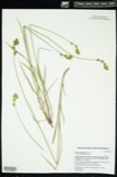
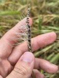
Museum specimens collected inside this
county and catalogued with a date and a place: 12,770 of them, by
kingdom 4,986 animalia, 4,691 plantae, 2,834 fungi, 140 chromista, 97 protozoa. Each is a physical object in a named collection, not a
sighting. Held by YPM, NY, BPI, University of New Hampshire, VT, CM among others, and each settlement page carries
the specimens collected near it.
The oldest of them. A specimen proves
something was collected on that day; its absence proves nothing.
Geology of Old Hampshire County, Massachusetts : Comprising Franklin, Hampshire, and Hampden Counties devotes a chapter to each township:
its boundaries and streams, who settled it and when, the mills, the
schools and the churches. All 9 are reproduced here in full. Each row
shows the township's own shape and where it lies in the county, drawn from
the Census Bureau's boundary. Which settlements belong to which township
is computed from that same boundary, not taken from the book.
Everyone Geology of Old Hampshire County, Massachusetts : Comprising Franklin, Hampshire, and Hampden Counties stops to write about, with
the section that describes them. Among them are the men who founded the
place and governed the Territory. Each name opens the passage itself, in
the words of 1898.
Named settlements recorded in the Geographic Names
Information System, each with the topographic sheets covering it. Villages,
hamlets and abandoned places alike. Each is shown with the watercourse or
landform it stands on and the survey quadrangle it falls on. The 11
places that were also surveyed for fire insurance come first, with the
number of atlases and photographs held for them.
The complete index, with nothing left out.
Each of these is a separate record with its own page: a federal survey
report, or the case file that argued a property on to the National
Register. Both are public domain and reproduced word for word.
Topographic sheets. USGS Historical Topographic Map Collection, county index, measured from the bulk metadata.
Fire insurance maps. Library of Congress Sanborn collection, faceted to this county.
Photographs. Each place queried individually against the Library of Congress Prints and Photographs search.
Wildfire. Short, Karen C. 2022. Spatial wildfire occurrence data for the United States, 1992-2020 [FPA_FOD_20221014]. 6th Edition. Fort Collins, CO: Forest Service Research Data Archive. https://doi.org/10.2737/RDS-2013-0009.6 Collected with United States Government funding and usable without additional permissions or fees.
Specimens. Global Biodiversity Information Facility (GBIF), https://www.gbif.org/. Only records licensed CC0 or CC BY are used. Records licensed CC BY-NC are excluded because this site carries advertising. Images are checked individually and any whose licence is non-commercial, no-derivatives or unreadable is refused.
Mines and quarries. USGS Mineral Resources Data System (MRDS) https://mrdata.usgs.gov/mrds/ A work of the United States government, no copyright under 17 U.S.C. 105.
Storms. NOAA National Centers for Environmental Information, Storm Events Database https://www.ncei.noaa.gov/stormevents/ A work of the United States government, no copyright under 17 U.S.C. 105. Narratives are quoted verbatim from the National Weather Service report and are not edited or summarised.
 Block
Block
![Among the exhibited autos at a small antique-car show on the green in [Belchertown], Massachusetts](assets/locph_2019690166.jpg)
![Among the exhibited autos at a small antique-car show on the green in [Belchertown], Massachusetts](assets/locph_2019690167.jpg)
![This colorful 1949 Willys Jeepster, exhibited at a small antique-car show on the green in [Belchertown], Massachusetts, is one of several small cars used by the Melha Shriners, a funloving Masonic group that delights crowds in area parades](assets/locph_2019690171.jpg)
![As this exhibit at a small antique-car show on the green in [Belchertown], Massachusetts demonstrates, hanging dice were a popular decoration in hot rods and convertibles in the 1950s and 60s](assets/locph_2019690169.jpg)
![This colorful 1949 Willys Jeepster, exhibited at a small antique-car show on the green in [Belchertown], Massachusetts, is one of several small cars used by the Melha Shriners, a funloving Masonic group that delights crowds in area parades](assets/locph_2019690170.jpg)
![Among the exhibited autos at a small antique-car show on the green in [Belchertown], Massachusetts](assets/locph_2019690168.jpg)
![The 1887 Clapp Memorial Library, a public library in [Belchertown], Massachusetts](assets/locph_2019690173.jpg)
![The 1887 Clapp Memorial Library, a public library in [Belchertown], Massachusetts](assets/locph_2019690172.jpg)
![The 1887 Clapp Memorial Library, a public library in [Belchertown], Massachusetts](assets/locph_2019690174.jpg)