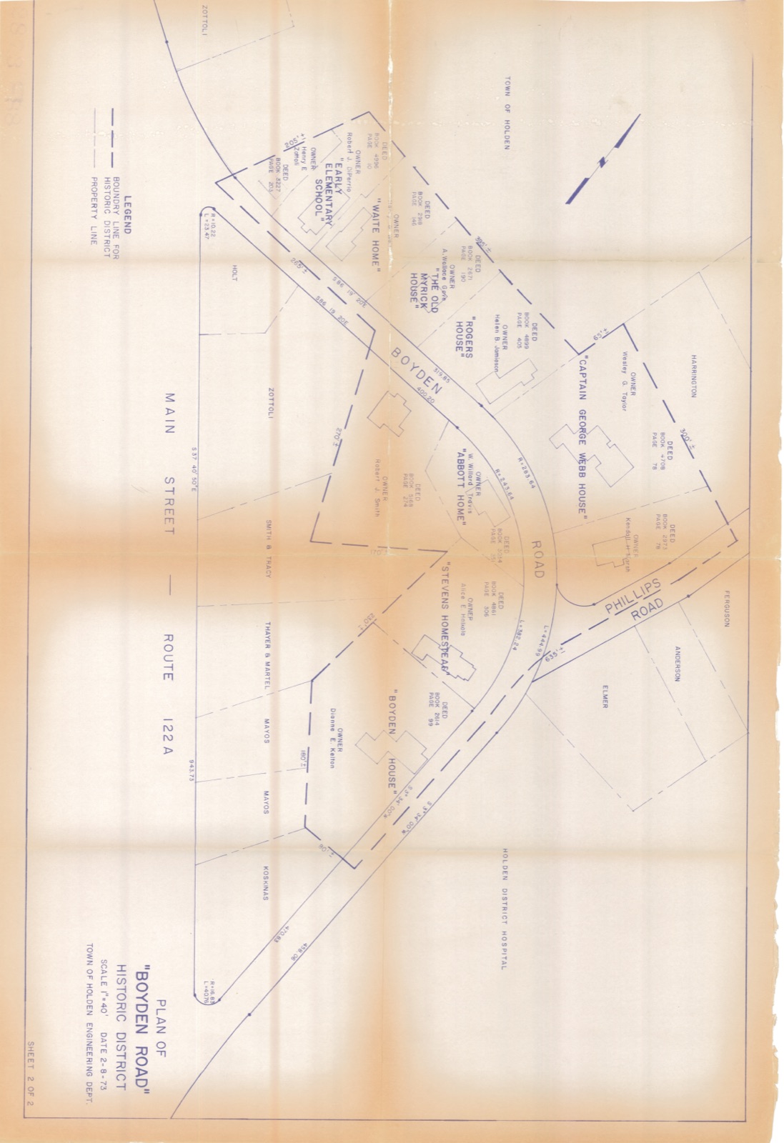
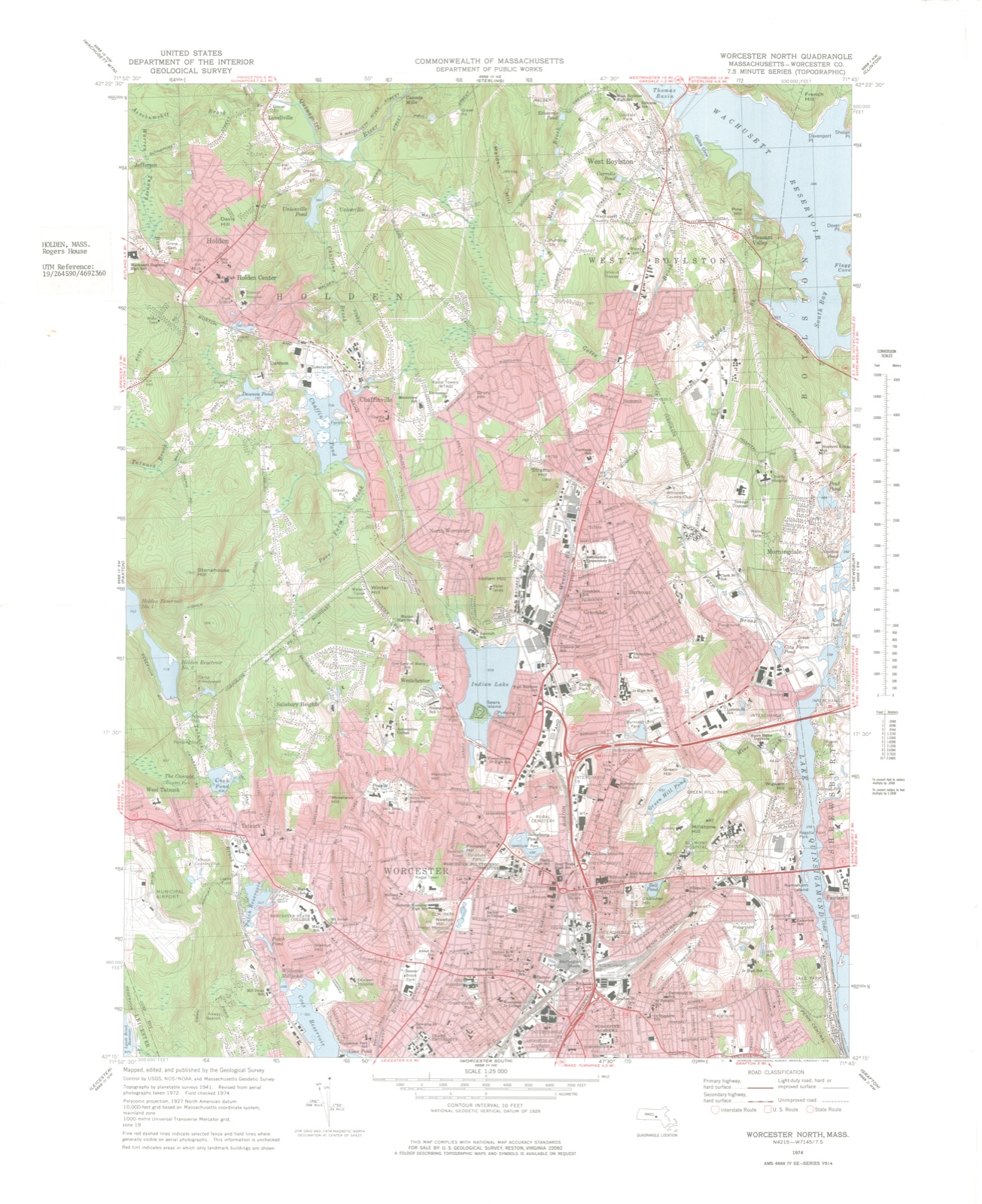
Photographs from the nomination case file, National Park Service records.
Rogers House
Listed on the National Register of Historic Places in
1982. A historic map-sheet match is not published yet. The record needs a coordinate-quality review before it can be joined to a sheet boundary.
From the record
one of 500 National Register listings in Worcester County · listed in 1982 · category: Building · one of 1 National Historic Landmarks in Worcester County.
National Register reference number.82004471- the number the National Park Service assigned this property when it was listed, and the key its nomination file is catalogued under at the National Archives.
Fires near this property
38 since 2015
Regional context, not property-specific
evidence. The
federal wildfire occurrence database
lists 38 fires within 5 miles of Rogers House between
2015 and 2020, burning about 32 acres in total. None started naturally. 2 were recorded as arson.
Distance is straight-line from the map coordinates, so a fire counted
here may appear on a neighbouring settlement's page as well.
Reported cause
Fires
Debris and open burning
23
Missing data/not specified/undetermined
9
Recreation and ceremony
4
Arson/incendiarism
2
The most recent of
them, most recent first, with the day each was reported and the service
that recorded it.
Regional context, not property-specific
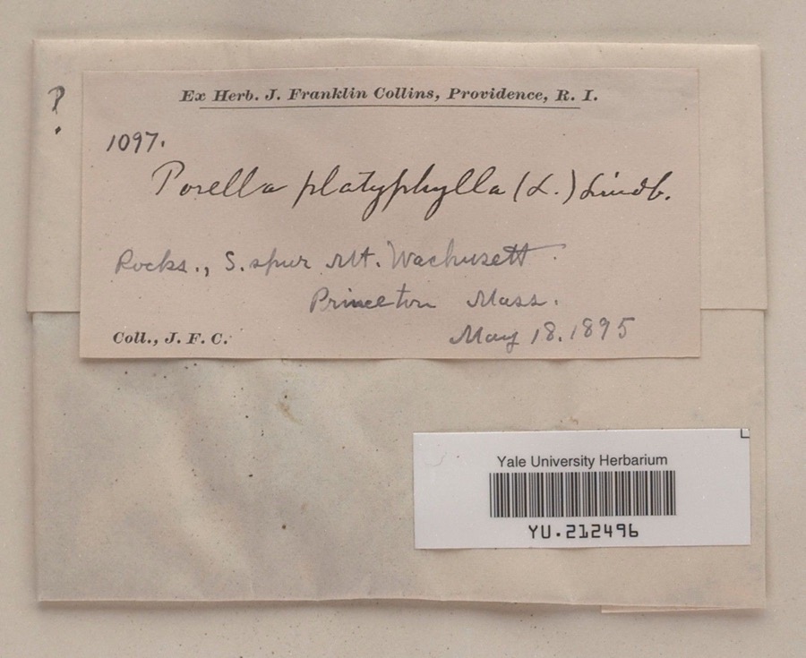
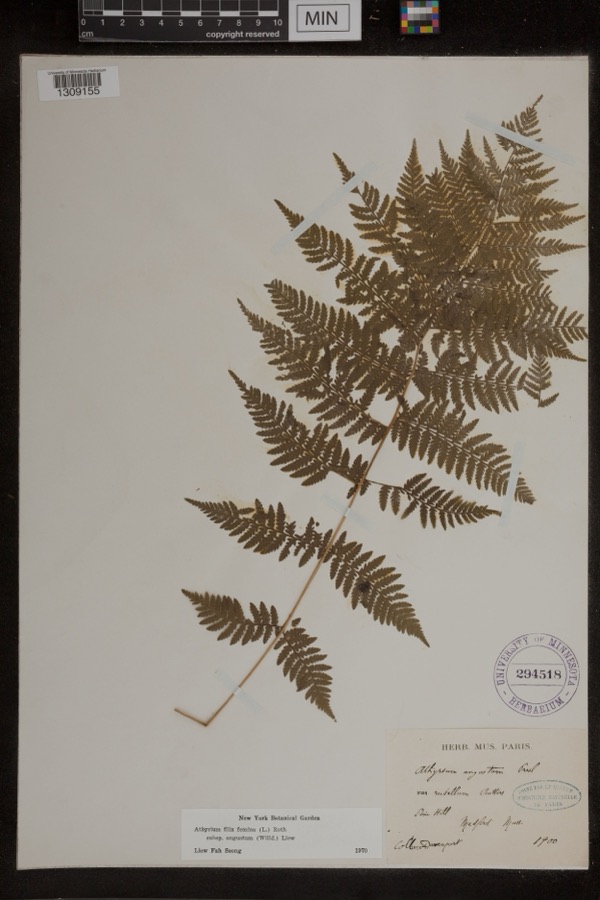
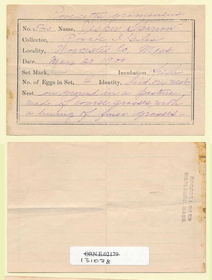
evidence. Museums hold 1,638 specimens
collected within 10 miles of Rogers House between 1839 and
1974: 1,011 Plantae, 334 Animalia, 269 Fungi, 16 Unrecorded, 6 Protozoa, 2 Chromista. 12 distinct Species records are shown.
Collected by A E WOODHEAD, A. A. Eaton, A. B. Seymour and others. Each is a
physical object with a catalogue
number, and each entry opens the museum's record. This is what was
collected and kept, not a survey of what lives here - nothing can be
concluded from a species being absent.
Regional context, not property-specific
evidence. The federal mineral resources record lists
12 workings within 5 miles of Rogers House: 8 past producers, 3 producers, 1 unknown.
3 still produce. What was taken out: Sand and Gravel, Construction, Stone, Crushed/Broken. Distance is straight-line from the
map coordinates, so a quarry counted here may appear on a neighbouring
settlement's page as well.
Regional context, not property-specific
evidence. The National Weather Service names
Holden, the town this property stands in, in 14 storm reports between 1997 and 2025: 7 thunderstorm wind, 4 hail, 1 lightning, 1 flood.
The reports record 1 injury. Each account below is quoted exactly as the forecast office
filed it, from the NOAA Storm Events Database, and each date
opens the federal record of that event.
A thunderstorm moved through Holden during the late afternoon hours on the 10th. Lightning struck two houses - blowing apart a chimney on one and setting fire to another. No injuries were reported.
No historic map-sheet match is published
for this property yet. That does not mean no map exists. This record needs
a coordinate-quality review before it can be joined to a sheet boundary.
Browse the county's mapped places while that work is
pending.
From the nomination file
1,976 words on record
When this property was proposed for the
National Register, someone wrote the case for it: what the building is,
and why it matters. That document is a federal record in the public domain.
It is quoted below word for word, never summarised. The text was read off the scanned case file by machine, so the
occasional stray character is the recogniser's and the 1970s
typewriter's.
Description of the property
The Rogers House is a small, Cape-type cottage located near the center of Holden. The building stands on 4 acre of flat land, separated from neighboring residential properties by an original stone wall. Dating from the early Georgian period (1733), the vernacular structure contains a 1½ story main block, a small barn, and a 1 story connecting ell. All sections have gable roofs and granite foundations. The main block of the Rogers House features clapboard siding, a low gable roof with small rear lean-to, a central chimney, and a 3-bay facade. Plain flat architraves frame the 8/12 windows and 6-panelled door of this facade. The side (east and west) elevations have regular fenestration with 6/12 window sash, while the asymmetrical rear (north) elevation contains smaller 6/9 sash.
The ell extending from the northeast corner is covered in vertical sheathing articulated by 6/6 windows and a four-panelled door. The small attached barn also has vertical siding, irregular small-paned windows, and an overhead garage door. No alterations have been made to the exterior design of the main structure, and the current owners have restored the interior to much of its original condition.
Statement of significance
/Architect Probably John Hubbard Statement of Significance (in one paragraph) The Rogers House is one of the oldest and most representative types of residential architecture in Holden and has housed several generations of locally prominent citizens. The building retains integrity of location, design, workmanship and materials, and thus meets Criteria A and C of the National Register. From its construction in 1733 to the present, the Rogers House has changed ownership over 25 times. The original lot was sold by John Hubbard in 1733 to Archibald McCollester as "7.5 acres of upland and swampland", and was transferred with "house, fence, corn, and grass".
Abraham Newton, who bought the property in 1739 --with a blacksmith shop-- was among the signatures of the petition to the General Court requesting Holden's incorporation as a town in 1740. At the first town meeting in 1741, he was elected a tything man. A later owner, Edmund Hall, was a member of Capt. James Davis's company in Colonel Doolittle's regiment during the Revolution, first marching on the Lexington alarm on April 19, 1775. His signature appears on the 1787 resolution disapproving of Shays Rebellion. Hall sold the property in 1792 to Nathan Chaffin, a cooper and the father of ten, who not surprisingly had a short tenure here. The house was subsequently bought by Colonel Samuel Damon, a prestigious local businessman and a large property owner.
He sold it in 1808 to the first of the Rogers family to own the house --Benjamin, a cooper but in 1814 it returned to the Colonel's son, Samuel. The secondSamuel was also a large landowner, his holdings including several mills in Holden (including the Quinapoxet Mill, which he built in 1831) and elsewhere. Damon was prominent in town government and was elected to the General Court four times.
Quoted from the National Register nomination
for reference 82004471, 10 pages, held by the National Archives in Record
Group 79. See the
catalogue record.
Listed places nearby
6 within 8 miles
Other National Register properties close
enough to walk or drive between, ordered by distance from this one. Both
positions come from the same geocoding pass that matched these properties
to their map sheets.
Listing record. National Park Service National Register of Historic Places, listed-properties dataset, current to 2026-05-22.
Map join. Address geocoded through the United States Census geocoder, then tested against the published boundary of every sheet in the USGS Historical Topographic Map Collection.
How this page is made. Listing fields come from federal records; map-sheet coverage is a labelled coordinate-to-boundary calculation, not a source-field claim.
Wildfire. Short, Karen C. 2022. Spatial wildfire occurrence data for the United States, 1992-2020 [FPA_FOD_20221014]. 6th Edition. Fort Collins, CO: Forest Service Research Data Archive. https://doi.org/10.2737/RDS-2013-0009.6 Collected with United States Government funding and usable without additional permissions or fees.
Specimens. Global Biodiversity Information Facility (GBIF), https://www.gbif.org/. Only records licensed CC0 or CC BY are used. Records licensed CC BY-NC are excluded because this site carries advertising. Images are checked individually and any whose licence is non-commercial, no-derivatives or unreadable is refused.
Mines and quarries. USGS Mineral Resources Data System (MRDS) https://mrdata.usgs.gov/mrds/ A work of the United States government, no copyright under 17 U.S.C. 105.
Storms. NOAA National Centers for Environmental Information, Storm Events Database https://www.ncei.noaa.gov/stormevents/ A work of the United States government, no copyright under 17 U.S.C. 105. Narratives are quoted verbatim from the National Weather Service report and are not edited or summarised.
 Block
Block