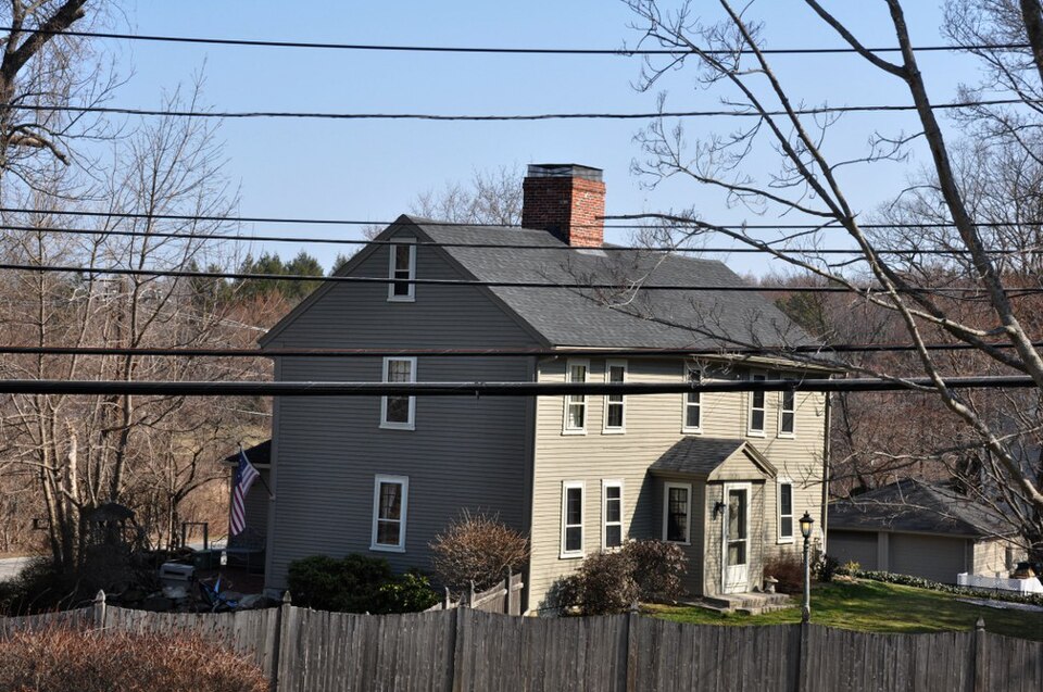
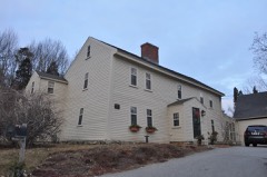
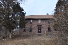
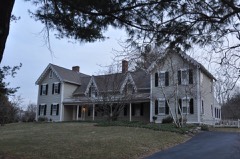
Built in 1714 in the First Period. Listed on the National Register of Historic Places in
2014. A historic map-sheet match is not published yet. The record needs a coordinate-quality review before it can be joined to a sheet boundary.
From the record
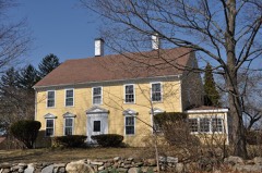
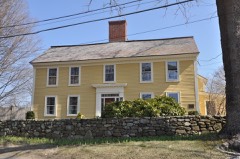
“The Abiel Stevens House is a historic First-Period house in North Andover, Massachusetts. The wood-frame house is unusual for retaining its basic 18th century form with minimal alteration.”
Wikipedia article Abiel Stevens House, CC BY-SA 4.0.
one of 350 National Register listings in Essex County · listed in 2014 · category: Building · built in 1714, First Period · one of 2 National Historic Landmarks in Essex County.
National Register reference number.83000585- the number the National Park Service assigned this property when it was listed, and the key its nomination file is catalogued under at the National Archives.
Fires near this property
88 since 2007
Regional context, not property-specific
evidence. The
federal wildfire occurrence database
lists 88 fires within 5 miles of Stevens, Abiel, House between
2007 and 2020, burning about 37 acres in total. 1 started naturally. 5 were recorded as arson.
Distance is straight-line from the map coordinates, so a fire counted
here may appear on a neighbouring settlement's page as well.
Reported cause
Fires
Smoking
20
Debris and open burning
20
Missing data/not specified/undetermined
14
Recreation and ceremony
10
Power generation/transmission/distribution
6
Misuse of fire by a minor
6
Arson/incendiarism
5
Railroad operations and maintenance
4
Equipment and vehicle use
2
Natural
1
The most recent of
them, most recent first, with the day each was reported and the service
that recorded it.
Regional context, not property-specific
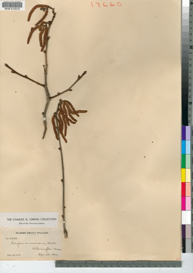
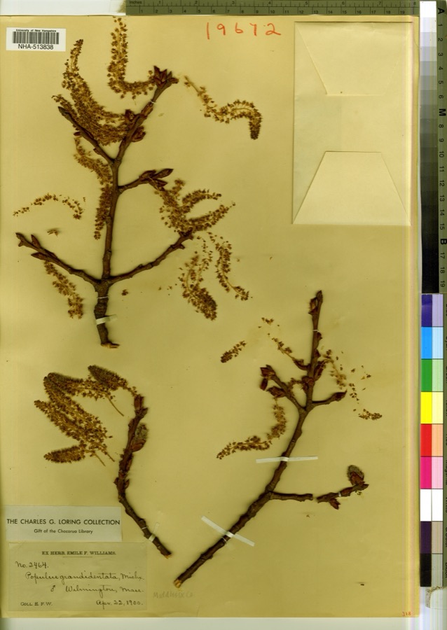
evidence. Museums hold 1,732 specimens
collected within 10 miles of Stevens, Abiel, House between 1816 and
1975: 825 Animalia, 731 Plantae, 158 Fungi, 5 Protozoa, 5 Bacteria, 4 Unrecorded, 4 Chromista. 12 distinct Species records are shown.
Collected by A Brown, A E Preble, A S Gaunt and others. Each is a
physical object with a catalogue
number, and each entry opens the museum's record. This is what was
collected and kept, not a survey of what lives here - nothing can be
concluded from a species being absent.
Regional context, not property-specific
evidence. The federal mineral resources record lists
4 workings within 5 miles of Stevens, Abiel, House: 3 past producers, 1 plant.
1 still produces. What was taken out: Sand and Gravel, Construction, Perlite. Distance is straight-line from the
map coordinates, so a quarry counted here may appear on a neighbouring
settlement's page as well.
Regional context, not property-specific
evidence. The National Weather Service names
North Andover, the town this property stands in, in 8 storm reports between 2000 and 2023: 5 thunderstorm wind, 1 heavy rain, 1 flood, 1 flash flood.
No death or injury is recorded in these reports. Each account below is quoted exactly as the forecast office
filed it, from the NOAA Storm Events Database, and each date
opens the federal record of that event.
No historic map-sheet match is published
for this property yet. That does not mean no map exists. This record needs
a coordinate-quality review before it can be joined to a sheet boundary.
Browse the county's mapped places while that work is
pending.
Named in the fire insurance atlases
Sanborn surveyors printed an index of the
town's establishments at the front of each atlas. This property is named in
one, read straight off the scanned sheet.
When this property was proposed for the
National Register, someone wrote the case for it: what the building is,
and why it matters. That document is a federal record in the public domain.
It is quoted below word for word, never summarised. The text was read off the scanned case file by machine, so the
occasional stray character is the recogniser's and the 1970s
typewriter's.
Description of the property
The Abiel Stevens House is a late First Period house (1710-19) in the rural, southern section of North Andover. Containing 3/4 of an acre of land, the property is located at the intersection of Dale Street and Salem Street - the latter once being a main thoroughfare to the coastal city of that name. The building is a 2½ story, center chimney structure of timber frame construction. As usual with early dwellings, the Stevens House faces south. Clapboard covered wal1s are framed by plain, unmolded corner boards and fascia; the gable ends do not return. All of the main windows on the south, east, and west elevations have 9/6 sash set in molded frames. Some of the glass panes, if not original, are very old crown glass.
The broad, five-bay facade contains paired windows and a center porch (added in 1795) with fully pedimented gable and 4/4 side windows. The west elevation has three windows aligned vertically; the east elevation is similar but has an additional second story window. Attic windows have 4/4 sash. In 1791 a shed-roofed leanto was added to the north side of the Stevens House; the original clapboarding is still to be seen along what is now an interior wal1. The addition is nine feet shorter than the main structure, allowing space for two 9/6 sash to penetrate the uncovered north wall of the latter. The leanto is lighted principally by four 6/6 windows in plain frames which are symmetrically arranged along its north wall.
Six-pane sash in unmolded frames light either end of the leanto's second story loft.Typical of the late 18th century, the-doors on the leanto ends feature two crossed layers of ship-lapped wide boards hung by large strap hinges.
(in one paragraph) The Abiel Stevens House is significant as an intact example of late First Period architecture and as a symbol of the early development of North Andover. Retaining integrity of design, materials, workmanship, location and setting, the property meets criteria A and C of the National Register. The Abiel Stevens House, alone of the six First Period two-room central chimney houses in North Andover, has preservedmostof its original exterior form and detail intact. The house was built between 1710, the year of Stevens' marriage to Deborah Barker, and 1719, when the dwelling is known to have been standing and owned by Abiel Stevens (Andover Proprietors Records, First Book).
Born in Andover in 1681, son of John and Esther Stevens, Abiel probably lived a typical farm boy's existence until March 15, 1698, when he was captured in the 1ast Indian raid on Andover. Feigning lameness, he managed to escape, although fired upon by his captors. Stevens' occupation was listed in most records as husbandsman, but a 1718 deed calls him a "joyner," which raises the possibility that he may have, been responsible for the house's original interior carpentry, much of which is still visible, parti- cularly on the first floor. In 1719, the Selectmen's accounts show that Abiel Stevens held the position of Clerk of the Market, responsible for the accuracy of the merchants' weights and measures.
Other than this minor post, Abiel probably led the uneventful life of a hard-working Colonial farmer until his death in 1778. Approximately 10 acres of land originally accompanied the house, along with outlying farmland, Abiel Stevens Sr. left the property to his son Abiel,Jr., who sold it in 1778 to one Samuel Carlton. In turn, Carlton sold it in 1787 to James Bridges, who opened a smal1 store on the property.
Quoted from the National Register nomination
for reference 83000585, 15 pages, held by the National Archives in Record
Group 79. See the
catalogue record.
Listed places nearby
6 within 8 miles
Other National Register properties close
enough to walk or drive between, ordered by distance from this one. Both
positions come from the same geocoding pass that matched these properties
to their map sheets.
Listing record. National Park Service National Register of Historic Places, listed-properties dataset, current to 2026-05-22.
Map join. Address geocoded through the United States Census geocoder, then tested against the published boundary of every sheet in the USGS Historical Topographic Map Collection.
How this page is made. Listing fields come from federal records; map-sheet coverage is a labelled coordinate-to-boundary calculation, not a source-field claim.
Wildfire. Short, Karen C. 2022. Spatial wildfire occurrence data for the United States, 1992-2020 [FPA_FOD_20221014]. 6th Edition. Fort Collins, CO: Forest Service Research Data Archive. https://doi.org/10.2737/RDS-2013-0009.6 Collected with United States Government funding and usable without additional permissions or fees.
Specimens. Global Biodiversity Information Facility (GBIF), https://www.gbif.org/. Only records licensed CC0 or CC BY are used. Records licensed CC BY-NC are excluded because this site carries advertising. Images are checked individually and any whose licence is non-commercial, no-derivatives or unreadable is refused.
Mines and quarries. USGS Mineral Resources Data System (MRDS) https://mrdata.usgs.gov/mrds/ A work of the United States government, no copyright under 17 U.S.C. 105.
Storms. NOAA National Centers for Environmental Information, Storm Events Database https://www.ncei.noaa.gov/stormevents/ A work of the United States government, no copyright under 17 U.S.C. 105. Narratives are quoted verbatim from the National Weather Service report and are not edited or summarised.
 Block
Block