Listed on the National Register of Historic Places in
1983. A historic map-sheet match is not published yet. The record needs a coordinate-quality review before it can be joined to a sheet boundary.
From the record
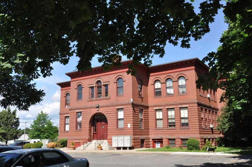
“The Valentine School is a historic school at Grape and Elm Streets in Chicopee, Massachusetts. Alderman, it is a prominent local example of Renaissance Revival architecture.”
Wikipedia article Valentine School (Chicopee, Massachusetts), CC BY-SA 4.0.
one of 123 National Register listings in Hampden County · listed in 1983 · category: Building.
National Register reference number.83000774- the number the National Park Service assigned this property when it was listed, and the key its nomination file is catalogued under at the National Archives.
Fires near this property
611 since 2015
Regional context, not property-specific
evidence. The
federal wildfire occurrence database
lists 611 fires within 5 miles of Valentine School between
2015 and 2020, burning about 238 acres in total. 30 started naturally. 3 were recorded as arson.
Distance is straight-line from the map coordinates, so a fire counted
here may appear on a neighbouring settlement's page as well.
Reported cause
Fires
Missing data/not specified/undetermined
306
Equipment and vehicle use
177
Debris and open burning
45
Recreation and ceremony
30
Natural
30
Smoking
17
Arson/incendiarism
3
Misuse of fire by a minor
3
The most recent of
them, most recent first, with the day each was reported and the service
that recorded it.
Regional context, not property-specific
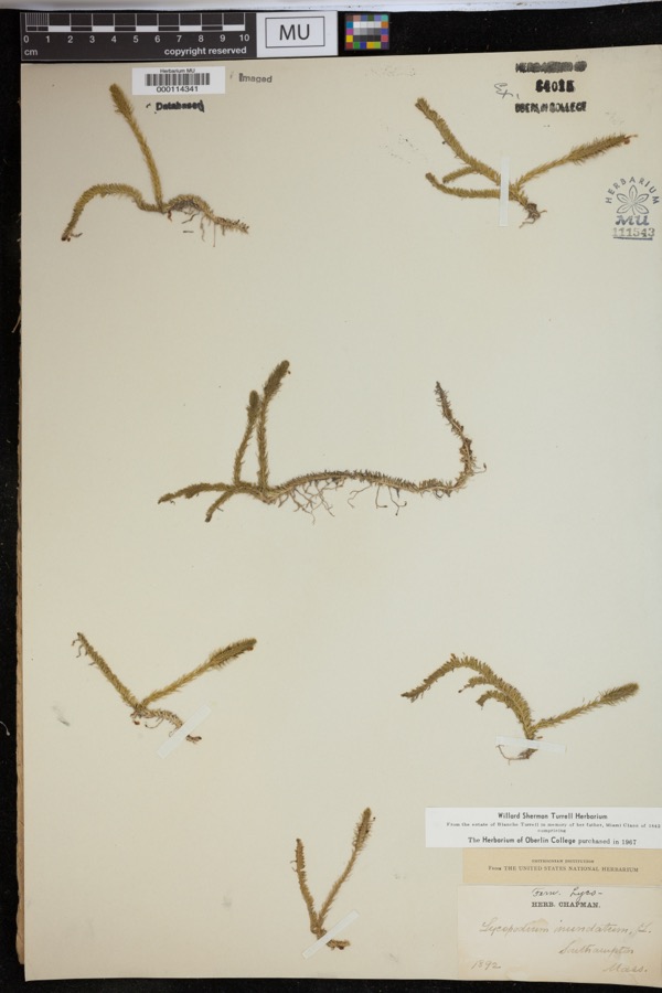
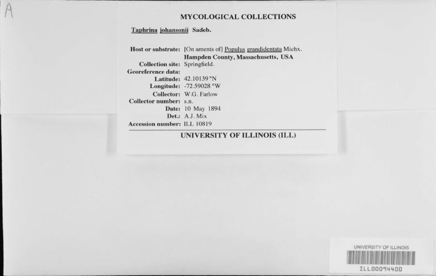
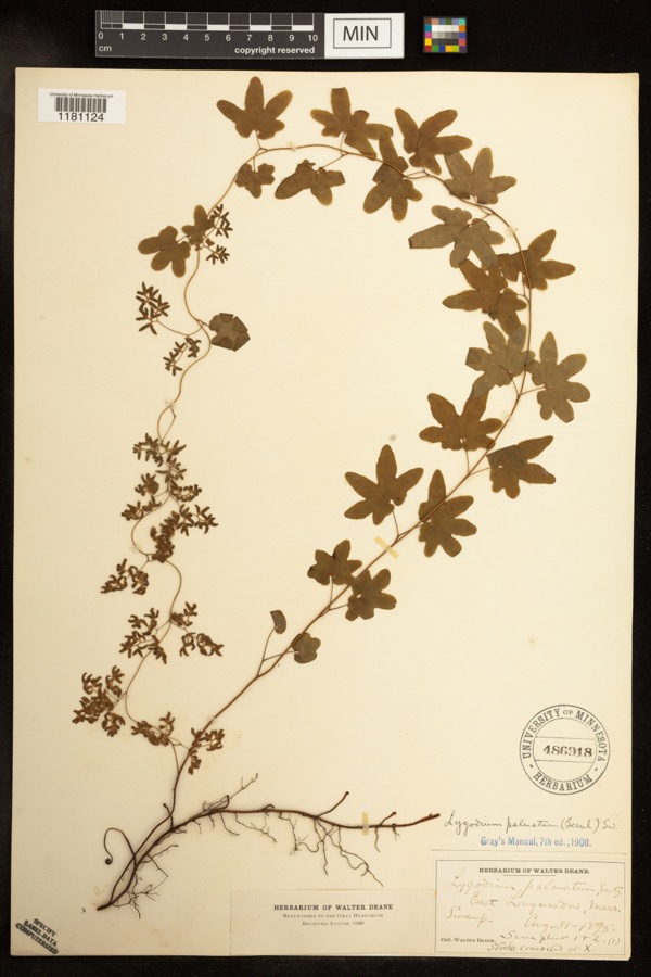
evidence. Museums hold 1,645 specimens
collected within 10 miles of Valentine School between 1831 and
1975: 670 Animalia, 619 Plantae, 326 Fungi, 16 Chromista, 9 Unrecorded, 5 Protozoa. 12 distinct Species records are shown.
Collected by A. Albee, A. B. Seymour, A. E. Kirk and others. Each is a
physical object with a catalogue
number, and each entry opens the museum's record. This is what was
collected and kept, not a survey of what lives here - nothing can be
concluded from a species being absent.
Regional context, not property-specific
evidence. The federal mineral resources record lists
35 workings within 5 miles of Valentine School: 17 past producers, 15 producers, 2 occurrences, 1 plant.
16 still produce. What was taken out: Brick Clay, Clay, Stone, Crushed/Broken, Stone, Dimension. Distance is straight-line from the
map coordinates, so a quarry counted here may appear on a neighbouring
settlement's page as well.
Regional context, not property-specific
evidence. The National Weather Service names
Chicopee, the town this property stands in, in 17 storm reports between 1995 and 2008: 11 hail, 5 thunderstorm wind, 1 flash flood.
No death or injury is recorded in these reports. Each account below is quoted exactly as the forecast office
filed it, from the NOAA Storm Events Database, and each date
opens the federal record of that event.
Four golfers were struck by lightning while standing in a shelter at the Wycoff Country Club. All were wearing cleats. Three were seriously injured and the other received minor injury. Two went into cardiac arrest. Three of the injured were recovering at local area hospitals. The lightning apparently struck a nearby tree and then jumped to the shelter.
Severe thunderstorms produced many reports of large hail as they moved east from Berkshire County to Worcester County. One storm, which had produced a tornado in southern Berkshire County moved east and dropped golf ball-size hail in Russell.
Severe thunderstorms produced large hail ranging from dime-size to golf ball-size. Half inch hail was reported to have covered the ground at one location in Hampden County.
No historic map-sheet match is published
for this property yet. That does not mean no map exists. This record needs
a coordinate-quality review before it can be joined to a sheet boundary.
Browse the county's mapped places while that work is
pending.
From the nomination file
2,168 words on record
When this property was proposed for the
National Register, someone wrote the case for it: what the building is,
and why it matters. That document is a federal record in the public domain.
It is quoted below word for word, never summarised. The text was read off the scanned case file by machine, so the
occasional stray character is the recogniser's and the 1970s
typewriter's.
Description of the property
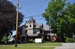
The Valentine School (1898-1899)is a two-story, flat-roofed Renaissance Revival style building of red brick and sandstone, capped by a metal entablature. Set well back from thestreet in a wide, Shallow lot now largely covered with asphalt paving, the building remains in excellent structural condition, virtually unaltered since its construction just before the turn of the century. Its neighborhood remains a handsome one, with tree-lined streets and well maintained houses in styles ranging from Greek Revival to Queen Anne. The Valentine-School's well proportioned facade is symmetrical in design. The entrance block at the center projects from the wider block immediately behind it, which in turn is narrower than the rectangular main block of the building stretching across the rear.
sith et consoto kaysone, Tarec lyrabove te a Fadtaddan wihaow with sangrch stone:trim. The strong differentiation between stories, characteristic of the Renaissance Revival style, is carried out in the treatment of the building's front and side elevations. The raised basement and first floor are dis- tinguished by regular recessed courses of brick, which create a rusticated effect in contrast to the smoothness of the wall above. The first floor windows are rectilinear, with square-off stone lintels, while those of the second floor are round-headed, with sandstone-framed arches and sandstone: impost blocks and sills.
The two levels are also marked by horizontal dividing lines: a strip of sandstone between basement and first floor, and a course of brick dentils between first and second stories. A broad red metal entablature, rising to a projecting cornice on scroll modillions, runs around the building on three sides. The rear of the building is less elaborate but also symmetrical. While most of its 36 windows are capped by simple brick segmental arches, a group of four at either end of the second floor has semicircular heads.
/Architect George P.D. Alderman, Architect Statement of Significance (in one paragraph) The Valentine School, retains integrity of location, design, setting, naterials, workmanship, feeling, and association. As an outstanding local Revival style architecture designed by a The Valentine School was originally known as the Grape Street School; its name was changed in 1908 to honor a former principal, Willlam Valentine. Designed by George P.D. Alderman, a highly successful Holyoke architect who was responsible for numerous churches, mills, commercial, and civic buildings in western New England, including the main Holyoke Post Office, the school is a sophisticated Renaissance Revival design, the city's finest representative of thatistyle.
Both the elegance of its design the superb craftsmanship of its construction testify to the expansive civic spirit that characterized the last two decades of the 19th century in Chicopee. It was a period that saw the near doubling of the population, the incorporation of Chicopee as a city, and the institution of municipal water and electrical power systems. The Valentine School was located in a residential neighborhood close to the river, but east of the most densely built-up industrial area. At the time of the Valentine School's construction, there was already a school on the block.- the Robinson, built in 1842 and later named for a former principal who went on to become Governor of Massachusetts, the only Chicopee native to serve in that office.
The Valentine School was connected to the older building by underground passage until the demo- lition of the Robinson School in the 1950s. The Valentine School remained in use until 1980, continuing a tradition of public education on the site dating back to the early 19th century and the beginning of Chicopee's growth as an industrial center.
Quoted from the National Register nomination
for reference 83000774, 16 pages, held by the National Archives in Record
Group 79. See the
catalogue record.
Listed places nearby
6 within 8 miles
Other National Register properties close
enough to walk or drive between, ordered by distance from this one. Both
positions come from the same geocoding pass that matched these properties
to their map sheets.
Listing record. National Park Service National Register of Historic Places, listed-properties dataset, current to 2026-05-22.
Map join. Address geocoded through the United States Census geocoder, then tested against the published boundary of every sheet in the USGS Historical Topographic Map Collection.
How this page is made. Listing fields come from federal records; map-sheet coverage is a labelled coordinate-to-boundary calculation, not a source-field claim.
Wildfire. Short, Karen C. 2022. Spatial wildfire occurrence data for the United States, 1992-2020 [FPA_FOD_20221014]. 6th Edition. Fort Collins, CO: Forest Service Research Data Archive. https://doi.org/10.2737/RDS-2013-0009.6 Collected with United States Government funding and usable without additional permissions or fees.
Specimens. Global Biodiversity Information Facility (GBIF), https://www.gbif.org/. Only records licensed CC0 or CC BY are used. Records licensed CC BY-NC are excluded because this site carries advertising. Images are checked individually and any whose licence is non-commercial, no-derivatives or unreadable is refused.
Mines and quarries. USGS Mineral Resources Data System (MRDS) https://mrdata.usgs.gov/mrds/ A work of the United States government, no copyright under 17 U.S.C. 105.
Storms. NOAA National Centers for Environmental Information, Storm Events Database https://www.ncei.noaa.gov/stormevents/ A work of the United States government, no copyright under 17 U.S.C. 105. Narratives are quoted verbatim from the National Weather Service report and are not edited or summarised.
 Block
Block