 Block
BlockFrom the record
one of 5 National Register listings in Morgan County · listed in 1983 · category: Building.
Sources: the National Register database, National Park Service

Listed on the National Register of Historic Places in 1983. A historic map-sheet match is not published yet. The record needs a coordinate-quality review before it can be joined to a sheet boundary.
one of 5 National Register listings in Morgan County · listed in 1983 · category: Building.
Sources: the National Register database, National Park Service
This property stands in Union Township. Census 1880 Morgan County Ohio, published 1880 gives that township a chapter of its own.
The chapter covers the township.
Machine-read from a century-old scan, so expect the errors a machine makes: misspelled names, dropped words, stray characters.
Read the whole chapter on Union Township - 237 words on its settlement, mills, schools and churches.
Regional context, not property-specific evidence. The federal wildfire occurrence database lists 19 fires within 5 miles of Rock Hollow School between 2006 and 2020, burning about 26 acres in total. 1 started naturally. None was recorded as arson. Distance is straight-line from the map coordinates, so a fire counted here may appear on a neighbouring settlement's page as well.
| Reported cause | Fires |
|---|---|
| Recreation and ceremony | 7 |
| Debris and open burning | 6 |
| Power generation/transmission/distribution | 3 |
| Equipment and vehicle use | 1 |
| Missing data/not specified/undetermined | 1 |
| Natural | 1 |
The most recent of them, most recent first, with the day each was reported and the service that recorded it.
| Date | Cause | Size | Reported by | Name on the report |
|---|---|---|---|---|
| 12 September 2019 | Equipment and vehicle use | under an acre | Ohio Department of Natural Resources | 15255 |
| 5 August 2018 | Power generation/transmission/distribution | under an acre | Wayne National Forest | ALDER |
| 12 August 2006 | Recreation and ceremony | 1.0 acres | Wayne National Forest | BOC FIRE |
| 17 June 2006 | Recreation and ceremony | 1.0 acres | Wayne National Forest | BURLEY FIRE |
| 3 May 2014 | Natural | under an acre | Wayne National Forest | EAST |
| 2 May 2018 | Power generation/transmission/distribution | 1.0 acres | Ohio Department of Natural Resources | 11385 |
| 4 April 2020 | Debris and open burning | under an acre | Wayne National Forest | LAKE ROAD |
| 4 April 2010 | Power generation/transmission/distribution | 2.0 acres | Wayne National Forest | WATER WORKS |
Regional context, not property-specific evidence. Museums hold 322 specimens collected within 10 miles of Rock Hollow School between 1887 and 1973: 285 Animalia, 29 Plantae, 7 Fungi, 1 Unrecorded. 12 distinct Species records are shown. Collected by A. D. Huryn, A.D. Huryn, Adler, K. K. and others. Each is a physical object with a catalogue number, and each entry opens the museum's record. This is what was collected and kept, not a survey of what lives here - nothing can be concluded from a species being absent.
| Image | Species | Year | Collected by | Where, as recorded |
|---|---|---|---|---|
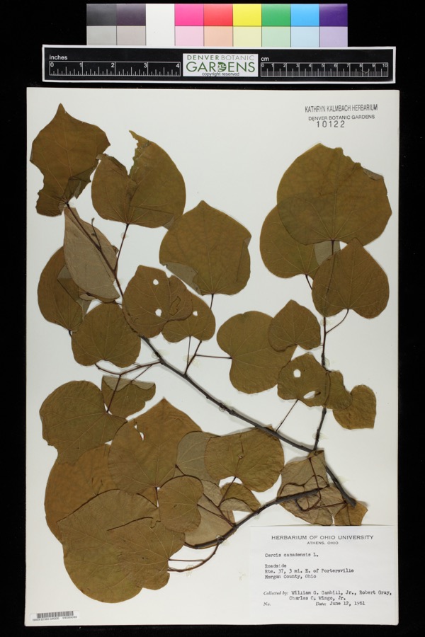 | Cercis canadensis L. | 1961 | William G. Gambill Jr.; Robert Gray; Charles O. Wingo Jr. | Route 37, 3 miles east of Portersville. |
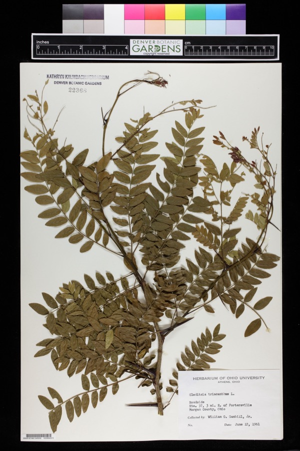 | Gleditsia triacanthos L. | 1961 | William G. Gambill Jr. | Route 37, 3 miles east of Portersville. |
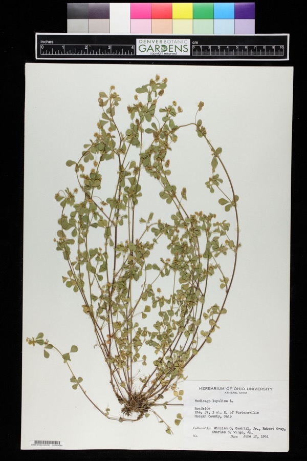 | Medicago lupulina L. | 1961 | William G. Gambill Jr.; Robert Gray; Charles O. Wingo Jr. | Route 37, 3 miles east of Portersville. |
 | Peziza soleniiformis Ellis & Everh. | 1887 | Morgan | |
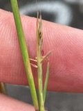 | Sporobolus vaginiflorus (Torr. ex A.Gray) Alph.Wood | 1898 | Selby, A.D. | Palos |
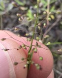 | Dichanthelium acuminatum (Sw.) Gould & C.A.Clark | 1899 | Selby, A.D. | Palos |
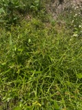 | Scirpus polyphyllus Vahl | 1899 | Selby, A.D. | Palos |
 | Chondestes grammacus grammacus (Say, 1822) | 1903 | not recorded | McConnelsville |
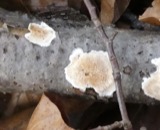 | Merulius incarnatus Schwein. | 1906 | Collector unspecified | McConnellsville |
 | Merulius corium (Pers.) Fr. | 1908 | Coker W. C. | Chapel Hill |
 | Sturnella magna magna (Linnaeus, 1758) | 1911 | B.R. Bales | Ringgold |
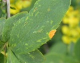 | Puccinia graminis Pers. | 1919 | Ricker A. J. | MCCONNELSVILLE |
All 322 specimens within 10 miles, at the Global Biodiversity Information Facility.
Regional context, not property-specific evidence. The National Weather Service names Ringgold, the town this property stands in, in 4 storm reports between 1997 and 2025: 4 thunderstorm wind. No death or injury is recorded in these reports. Each account below is quoted exactly as the forecast office filed it, from the NOAA Storm Events Database, and each date opens the federal record of that event.
| When | Event | Place named | Harm | What the report says |
|---|---|---|---|---|
| May 2000 | Thunderstorm Wind | Ringgold | $2,000 | Large tree branches and power lines were blown down. |
| July 1997 | Thunderstorm Wind | Ringgold | $2,000 | Trees fell across Route 78 and several county and township roads. |
| April 2025 | Thunderstorm Wind | Ringgold | $500 | A downed tree was observed along County Route 15 and East Branch Road near Corning. |
| August 2007 | Thunderstorm Wind | Ringgold | - | Large branches fell down on roads. |
No historic map-sheet match is published for this property yet. That does not mean no map exists. This record needs a coordinate-quality review before it can be joined to a sheet boundary. Browse the county's mapped places while that work is pending.
Other National Register properties close enough to walk or drive between, ordered by distance from this one. Both positions come from the same geocoding pass that matched these properties to their map sheets.
| Photograph | Property | Distance | Listed |
|---|---|---|---|
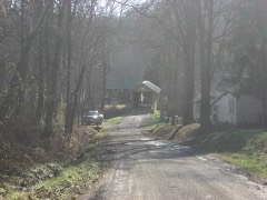 | Adams Covered Bridge | 5.1 miles | 1999 |
| National Archives record | The nomination case file for reference 83002014 in Record Group 79. |
| Morgan County | All 5 listed properties in this county. |