Listed on the National Register of Historic Places in
1983. A historic map-sheet match is not published yet. The record needs a coordinate-quality review before it can be joined to a sheet boundary.
From the record
one of 32 National Register listings in Trumbull County · listed in 1983 · category: Building · one of 1 National Historic Landmarks in Trumbull County.
National Register reference number.83002062- the number the National Park Service assigned this property when it was listed, and the key its nomination file is catalogued under at the National Archives.
Fires near this property
3 since 2019
Regional context, not property-specific
evidence. The
federal wildfire occurrence database
lists 3 fires within 5 miles of Harshman, Charles, House between
2019 and 2019, burning about 16 acres in total. None started naturally. None was recorded as arson.
Distance is straight-line from the map coordinates, so a fire counted
here may appear on a neighbouring settlement's page as well.
Reported cause
Fires
Debris and open burning
3
The most recent of
them, most recent first, with the day each was reported and the service
that recorded it.
Regional context, not property-specific
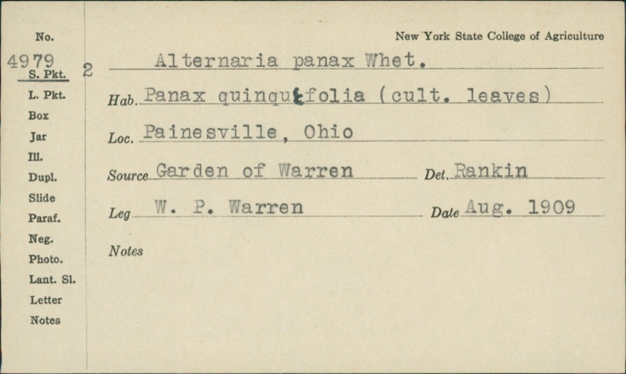
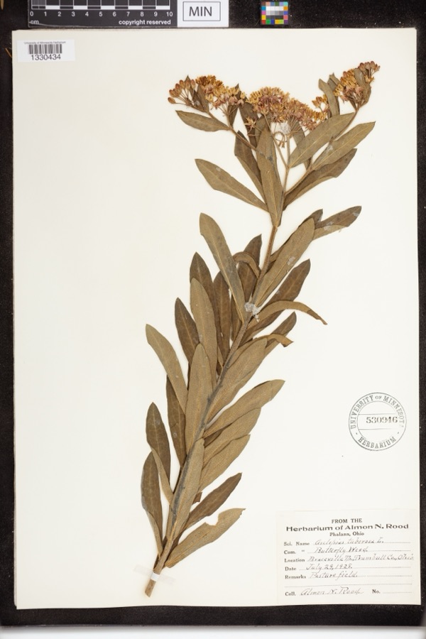
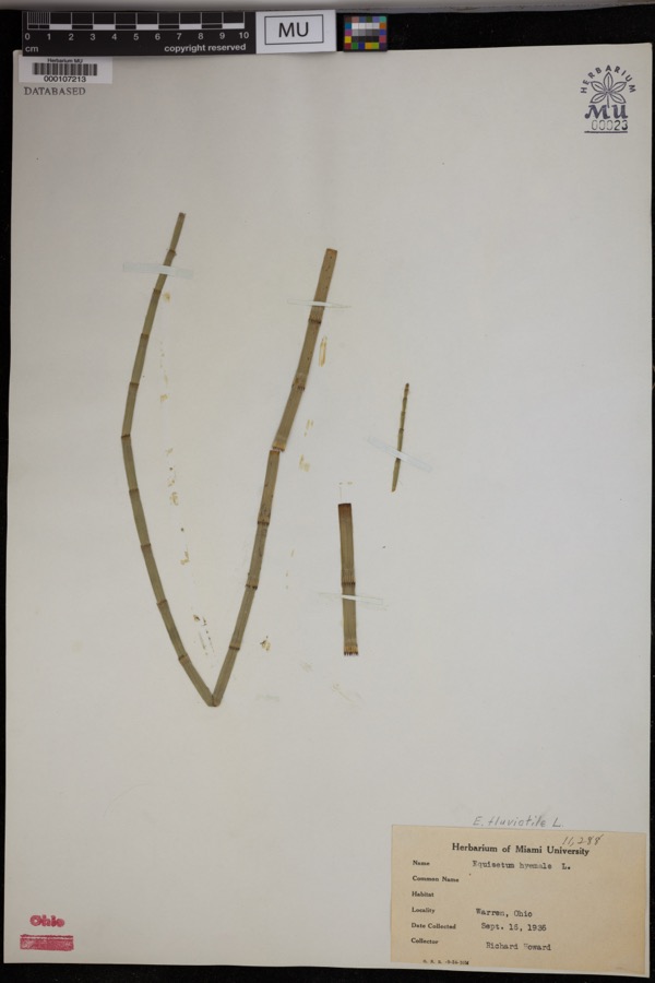
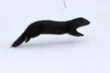
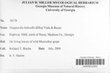
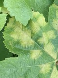
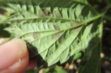
evidence. Museums hold 255 specimens
collected within 10 miles of Harshman, Charles, House between 1894 and
1975: 230 Animalia, 20 Plantae, 3 Fungi, 2 Chromista. 12 distinct Species records are shown.
Collected by A. N. Rood, Almon N. Rood, Armbruster, D. C. (Daniel C.) and others. Each is a
physical object with a catalogue
number, and each entry opens the museum's record. This is what was
collected and kept, not a survey of what lives here - nothing can be
concluded from a species being absent.
Regional context, not property-specific
evidence. The federal mineral resources record lists
1 working within 5 miles of Harshman, Charles, House: 1 plant.
All of them still produce. What was taken out: Fire Clay (Refractory). Distance is straight-line from the
map coordinates, so a quarry counted here may appear on a neighbouring
settlement's page as well.
No historic map-sheet match is published
for this property yet. That does not mean no map exists. This record needs
a coordinate-quality review before it can be joined to a sheet boundary.
Browse the county's mapped places while that work is
pending.
From the nomination file
1,539 words on record
When this property was proposed for the
National Register, someone wrote the case for it: what the building is,
and why it matters. That document is a federal record in the public domain.
It is quoted below word for word, never summarised. The text was read off the scanned case file by machine, so the
occasional stray character is the recogniser's and the 1970s
typewriter's.
Description of the property
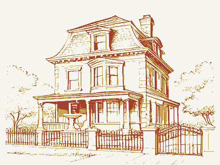
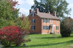
the home is of the Italianate style being square in floor plan although a kitchen wing mid-l9th century during the time in which the Italianate style was popular. central portico.There is also an indented porch off the kitchen on the north side of The roof is tin although the original the house. Windows throughout the house are 2/2. W-ruins has been poured over the original clay floor. A three by six foot cistern, which supplied The foundationis of cut sandstone blocks measuring two feet high, up to six feet long date deteriorated pilasters.T attached with square head nails. There is also a porch (unrestored) at the angle between the cube portion in the 1850's) which was destroyed in 1960.Plumbing and a modern bathroom were installed The frame of the house is oak and in perfect condition.
The home has ten rooms plus a pantry and mud room and the floor plan is thought to be The house has been painted a dark green with white trim and the brackets are set off was built in the l850's.This is a result of the present owner's effort to restore the _ science - sculpture - social/ X 1800-1899 - philosophy - politics government _ invention -other (specify) c. 1856 Statement of
Statement of significance
(in one paragraph) and the austere door and window surrounds. In regard to the local context, Southington Township has been a very rural township 1874 atlas of Trumbull County. sequent restoration plus being the best example of its style in a township which has 1700-1799 industry conservation transportation engineering communications Builder/Architect humanitarian The military exploration/settlement music Specific dates law 1900- without equal. Charles Harshman 8.
Significance minder of Southington's mid-nineteenth century architecture, the Harshman house is construction and development has occurred in the southern portion of the township below indicated a significant increase in tax valuation to $5,000 in 1856.0therhistorical lack of maintenance which threatens the continued existence of these structures.The _education of later Victorian Italianate through its simpler brackets and molding along the.cornice economics elected in 1874.In 1874 a drawing of the Harshman was elected County Commissioner and were used in this factory.In 187l Mr.Harshman was elected County Commissioner and re- are said to have operated.an inn at the township center.
Charles attended Hiram College Areas ofSignificance-Check and justify below The significance of the Harshman house lies in its position as an important and rare S.R. 305 which is the result of being closer to the Warren urbanized area and the easy -commerce reelected in 1874. In 1874a drawing of the Harshman residence appeared on page 89 in the notes about Harshman include that hestarted the first cheese factory in the township house conveys the modesty of the early Italianate style as opposed to the elaborations from Warren to the northwest. _literature -art - prehistoric - archeology-prehistoric community planning _ religion - archeology-historic X architecture lost many of its earlier structures from demolition, alteration, decay, etc.
As a re- survivor of the Italianate style of architecture in Southington Township.
Quoted from the National Register nomination
for reference 83002062, 9 pages, held by the National Archives in Record
Group 79. See the
catalogue record.
Listed places nearby
4 within 8 miles
Other National Register properties close
enough to walk or drive between, ordered by distance from this one. Both
positions come from the same geocoding pass that matched these properties
to their map sheets.
Listing record. National Park Service National Register of Historic Places, listed-properties dataset, current to 2026-05-22.
Map join. Address geocoded through the United States Census geocoder, then tested against the published boundary of every sheet in the USGS Historical Topographic Map Collection.
How this page is made. Listing fields come from federal records; map-sheet coverage is a labelled coordinate-to-boundary calculation, not a source-field claim.
Wildfire. Short, Karen C. 2022. Spatial wildfire occurrence data for the United States, 1992-2020 [FPA_FOD_20221014]. 6th Edition. Fort Collins, CO: Forest Service Research Data Archive. https://doi.org/10.2737/RDS-2013-0009.6 Collected with United States Government funding and usable without additional permissions or fees.
Specimens. Global Biodiversity Information Facility (GBIF), https://www.gbif.org/. Only records licensed CC0 or CC BY are used. Records licensed CC BY-NC are excluded because this site carries advertising. Images are checked individually and any whose licence is non-commercial, no-derivatives or unreadable is refused.
Mines and quarries. USGS Mineral Resources Data System (MRDS) https://mrdata.usgs.gov/mrds/ A work of the United States government, no copyright under 17 U.S.C. 105.
 Block
Block