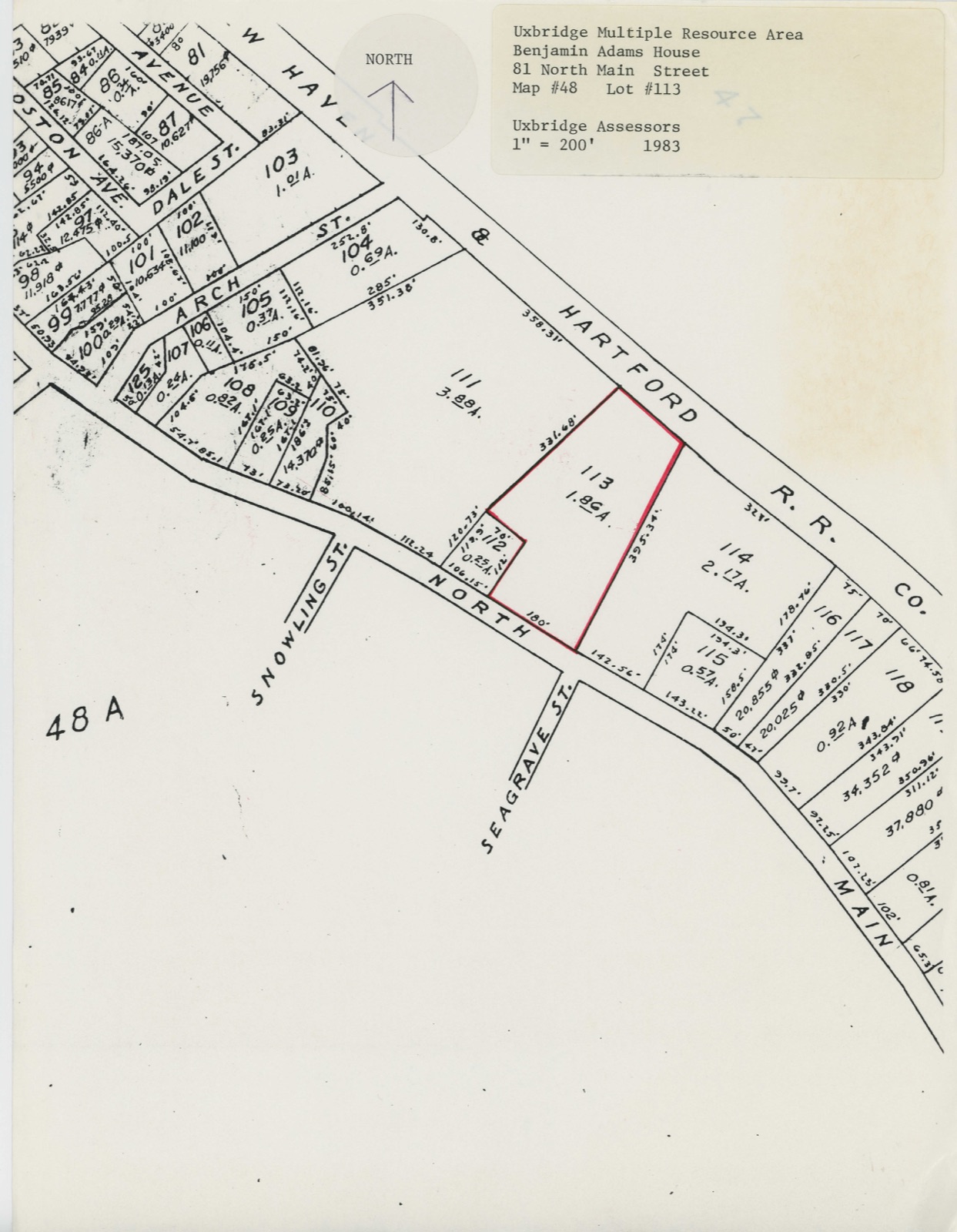
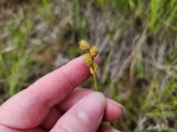
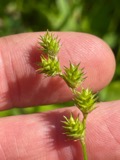
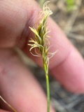
Photographs from the nomination case file, National Park Service records.
Adams, Benjamin, House
Listed on the National Register of Historic Places in
1983. A historic map-sheet match is not published yet. The record needs a coordinate-quality review before it can be joined to a sheet boundary.
From the record
“The first physician in Uxbridge, to whom I have occasion to refer, was a Dr. Wood, who occupied a house standing formerly upon the old cellar situated near the road, northerly from the spot where the boat house formerly stood.”
Address Delivered at the Unitarian Church, in Uxbridge, Mass., in 1864 : with Further Statements, Not Made a Part of the Address, But Included in the Notes (1881). Machine-read text.
one of 500 National Register listings in Worcester County · listed in 1983 · category: Building · one of 1 National Historic Landmarks in Worcester County.
National Register reference number.83004101- the number the National Park Service assigned this property when it was listed, and the key its nomination file is catalogued under at the National Archives.
In the winter of 1863-4, Mr. Chapin was invited to deliver a lecture in Uxbridge, in the course given for the benefit of the First Congregational Church. He selected the early history of the town, in which he took great interest, for his subject, and collected so much valuable material in relating it, that some of the publicspirited citizens felt it to be very desirable that the information thus obtained should be preserved in a permanent form, and requested him, some four years since, to give them his manuscript for publication. He consented, but wished to render it more valuable by the addition of various details equally worthy of record, which would have made his lecture too long for delivery, and others that have since come to his knowledge. His illness and subsequent death prevented him from preparing the work for the press ; and in the spring of 1879 it was intrusted to me, and was immediately entered upon as a sacred trust. The address as originally delivered, the notes which Judge Chapin was engaged in preparing, and the title page he had written, are now presented to those specially interested in the matters here spoken of.
Those who read this address will please remember that it is not a history of the town of Uxbridge they are reading, but memorabilia, and if its history should ever be written, I have no doubt the writer will duly appreciate the labor here expended. Much later information than that here given, and naturally finding a place in a history of the town, is, for obvious reasons, omitted. I recommend that with this address, the address of Judge Alphonso Taft, given at the Taft gathering in Uxbridge, August 12th, 1874, be also read.
Regional context, not property-specific
evidence. The
federal wildfire occurrence database
lists 91 fires within 5 miles of Adams, Benjamin, House between
2002 and 2020, burning about 71 acres in total. None started naturally. 4 were recorded as arson.
Distance is straight-line from the map coordinates, so a fire counted
here may appear on a neighbouring settlement's page as well.
Reported cause
Fires
Debris and open burning
27
Missing data/not specified/undetermined
20
Recreation and ceremony
16
Smoking
15
Arson/incendiarism
4
Railroad operations and maintenance
4
Equipment and vehicle use
3
Other causes
1
Misuse of fire by a minor
1
The most recent of
them, most recent first, with the day each was reported and the service
that recorded it.
Regional context, not property-specific
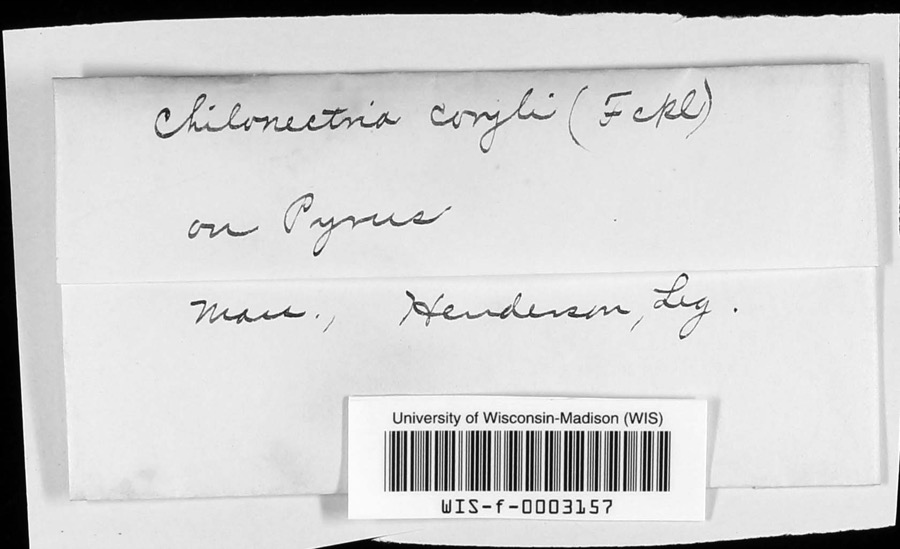
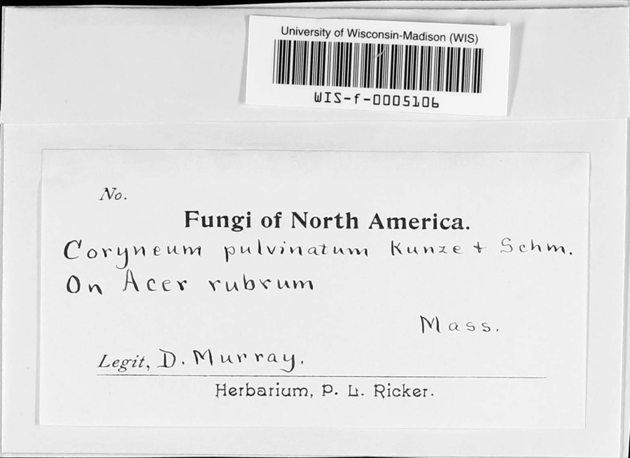
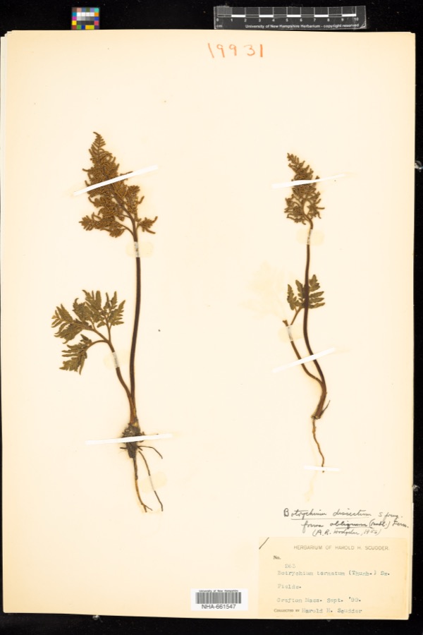
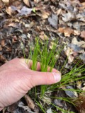
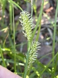
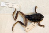
evidence. Museums hold 430 specimens
collected within 10 miles of Adams, Benjamin, House between 1844 and
1974: 239 Plantae, 142 Animalia, 35 Fungi, 9 Protozoa, 3 Unrecorded, 2 Chromista. 12 distinct Species records are shown.
Collected by A. B. Seymour, A. R. Hodgdon; F. L. Steele, A. R. Hodgdon; F. L. Steele and others. Each is a
physical object with a catalogue
number, and each entry opens the museum's record. This is what was
collected and kept, not a survey of what lives here - nothing can be
concluded from a species being absent.
Regional context, not property-specific
evidence. The federal mineral resources record lists
23 workings within 5 miles of Adams, Benjamin, House: 17 past producers, 4 producers, 1 unknown, 1 prospect.
4 still produce. What was taken out: Sand and Gravel, Construction, Lead, Zinc. Distance is straight-line from the
map coordinates, so a quarry counted here may appear on a neighbouring
settlement's page as well.
Regional context, not property-specific
evidence. The National Weather Service names
Uxbridge, the town this property stands in, in 6 storm reports between 1996 and 2021: 4 thunderstorm wind, 2 hail.
No death or injury is recorded in these reports. Each account below is quoted exactly as the forecast office
filed it, from the NOAA Storm Events Database, and each date
opens the federal record of that event.
No historic map-sheet match is published
for this property yet. That does not mean no map exists. This record needs
a coordinate-quality review before it can be joined to a sheet boundary.
Browse the county's mapped places while that work is
pending.
From the nomination file
1,278 words on record
When this property was proposed for the
National Register, someone wrote the case for it: what the building is,
and why it matters. That document is a federal record in the public domain.
It is reproduced in full on its own page, word for word and never summarised. The text was read off the scanned case file by machine, so the
occasional stray character is the recogniser's and the 1970s
typewriter's.
Quoted from the National Register nomination
for reference 83004101, 8 pages, held by the National Archives in Record
Group 79. See the
catalogue record.
Listed places nearby
6 within 8 miles
Other National Register properties close
enough to walk or drive between, ordered by distance from this one. Both
positions come from the same geocoding pass that matched these properties
to their map sheets.
Listing record. National Park Service National Register of Historic Places, listed-properties dataset, current to 2026-05-22.
Map join. Address geocoded through the United States Census geocoder, then tested against the published boundary of every sheet in the USGS Historical Topographic Map Collection.
How this page is made. Listing fields come from federal records; map-sheet coverage is a labelled coordinate-to-boundary calculation, not a source-field claim.
Wildfire. Short, Karen C. 2022. Spatial wildfire occurrence data for the United States, 1992-2020 [FPA_FOD_20221014]. 6th Edition. Fort Collins, CO: Forest Service Research Data Archive. https://doi.org/10.2737/RDS-2013-0009.6 Collected with United States Government funding and usable without additional permissions or fees.
Specimens. Global Biodiversity Information Facility (GBIF), https://www.gbif.org/. Only records licensed CC0 or CC BY are used. Records licensed CC BY-NC are excluded because this site carries advertising. Images are checked individually and any whose licence is non-commercial, no-derivatives or unreadable is refused.
Mines and quarries. USGS Mineral Resources Data System (MRDS) https://mrdata.usgs.gov/mrds/ A work of the United States government, no copyright under 17 U.S.C. 105.
Storms. NOAA National Centers for Environmental Information, Storm Events Database https://www.ncei.noaa.gov/stormevents/ A work of the United States government, no copyright under 17 U.S.C. 105. Narratives are quoted verbatim from the National Weather Service report and are not edited or summarised.
 Block
Block