Block
From the record
One of 68 National Register listings published here for Richland County · listed in 1984 · category: Building.
Sources: the case file at the National Archives · the National Register database, National Park Service
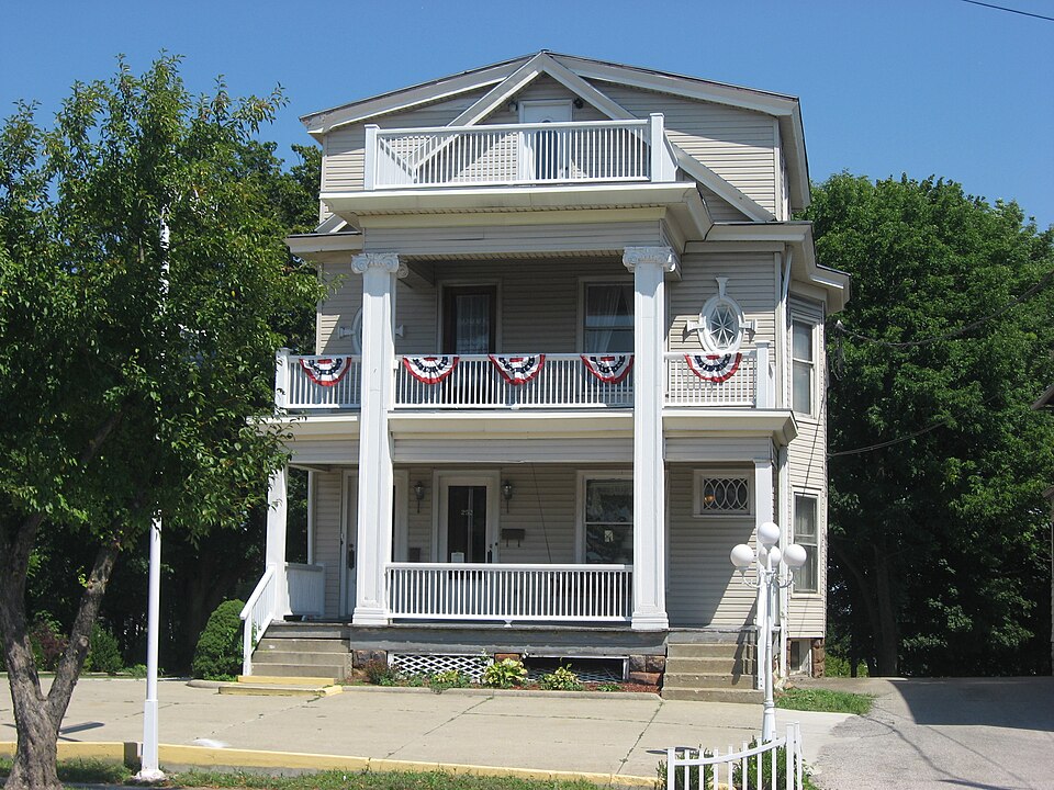
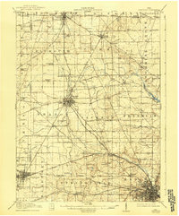
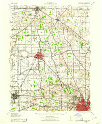
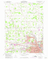
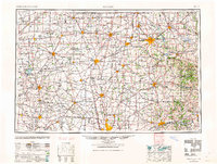
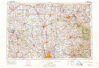
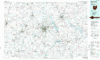
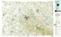
Listed on the National Register of Historic Places in 1984. 8 historic topographic surveys show this location, the earliest from 1915.
One of 68 National Register listings published here for Richland County · listed in 1984 · category: Building.
Sources: the case file at the National Archives · the National Register database, National Park Service
The ground this property stands on, surveyed 79 years apart. Drag the handle to wipe between them. Both sheets are United States Geological Survey originals; neither has been altered.
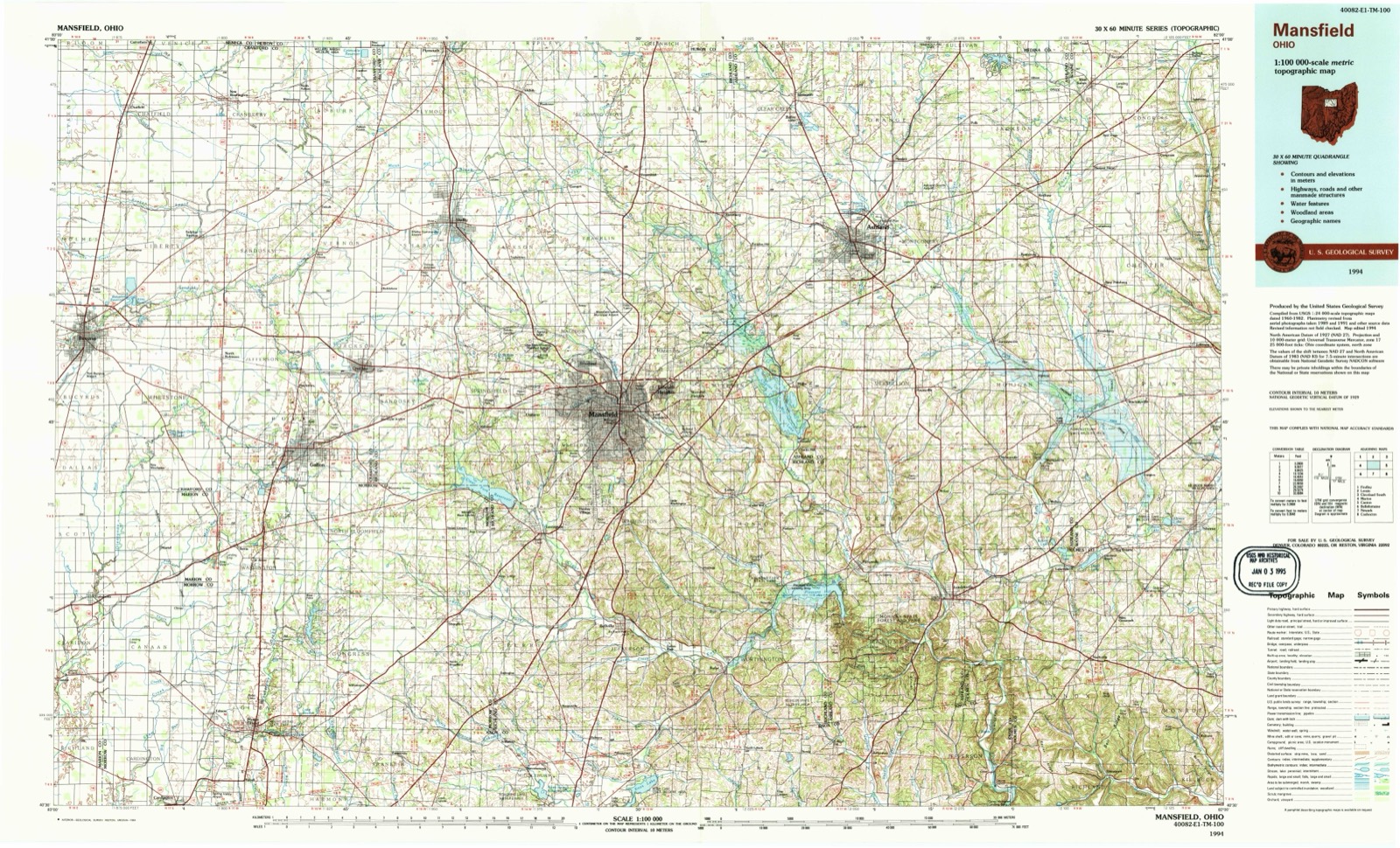
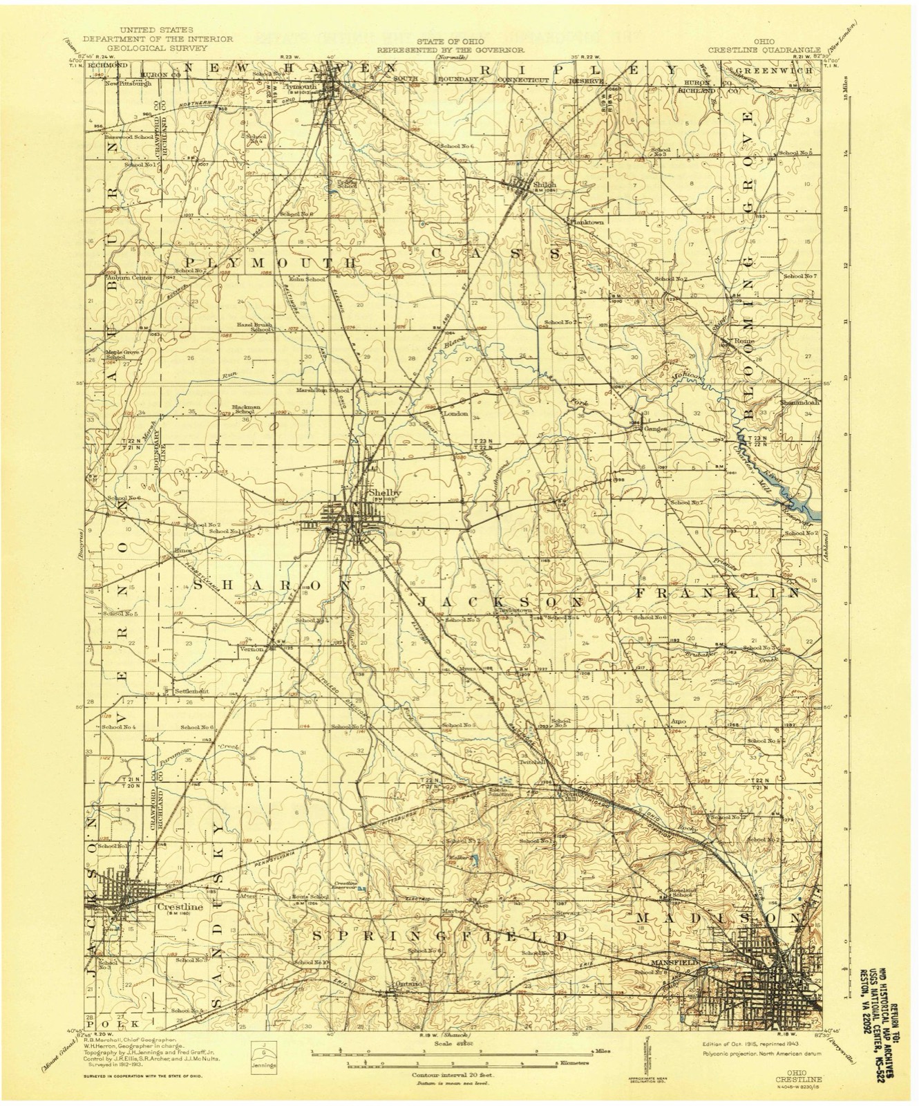
The chapter on Mansfield City in Mansfield Senior High School, The Manhigan, Mansfield (Ohio), Richland County, published 1925 names Mansfield. This is what it says, exactly as the scans read.
The biggest little man you ever saw! He doesn't weigh much, but he uses every ounce of the weight he has, a scrapper all the way. The big guard from Columbus who weighed exactly two pounds more than twice as much as Harold found himself played to a stand still. Harold couldn't move him, of course, but no more could he move Harold. So Harold stood Gibral¬ tar while the Columbus plunges smashed and broke upon him. This is Mansfield's first year of football and his last year of high school. M. H. S. should regret both these facts.
Passage source: Mansfield Senior High School, The Manhigan, Mansfield (Ohio), Richland County, published 1925.
A COMPREHENSIVE resume of the development of the public school system of Mansfield from its re¬ mote cabin form of but a few scholars, to tile present day high school of more than eleven hundred members, calls for a historical background of Richland County to illustrate the prodigy of this growth.
Passage source: Mansfield Senior High School, The Manhigan, Mansfield (Ohio), Richland County, published 1925.
Machine-read from a century-old scan, so expect the errors a machine makes: misspelled names, dropped words, stray characters.
Read the whole chapter on Mansfield City - 6,760 words on its settlement, mills, schools and churches.
Regional context, not property-specific evidence. The federal wildfire occurrence database lists 4 fires within 5 miles of Building at 252-254 Park Avenue West between 2002 and 2005, burning about 2 acres in total. None started naturally. None was recorded as arson. Distance is straight-line from the map coordinates, so a fire counted here may appear on a neighbouring settlement's page as well.
| Reported cause | Fires |
|---|---|
| Debris and open burning | 2 |
| Smoking | 2 |
The most recent of them, most recent first, with the day each was reported and the service that recorded it.
| Date | Cause | Size | Reported by | Name on the report |
|---|---|---|---|---|
| 4 July 2002 | Smoking | under an acre | Ohio State Fire Marshal's Office | not named |
| 3 April 2003 | Debris and open burning | 1.5 acres | Ohio Department of Natural Resources | not named |
| 19 April 2005 | Debris and open burning | under an acre | Ohio Department of Natural Resources | not named |
| 15 February 2002 | Smoking | under an acre | Ohio State Fire Marshal's Office | not named |
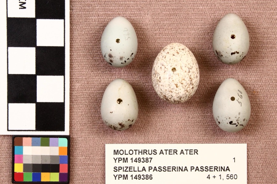
Regional context, not property-specific evidence. Museums hold 754 specimens collected within 10 miles of Building at 252-254 Park Avenue West between 1835 and 1975: 491 Plantae, 253 Animalia, 10 Fungi. 12 distinct Species records are shown. Collected by Berra, T. (Tim), C F WALKER, Chase, H. (Hazel) and others. Each is a physical object with a catalogue number, and each entry opens the museum's record. This is what was collected and kept, not a survey of what lives here - nothing can be concluded from a species being absent.
| Image | Species | Year | Collected by | Where, as recorded |
|---|---|---|---|---|
 | Molothrus ater ater (Boddaert, 1783) | 1892 | not recorded | Mansfield |
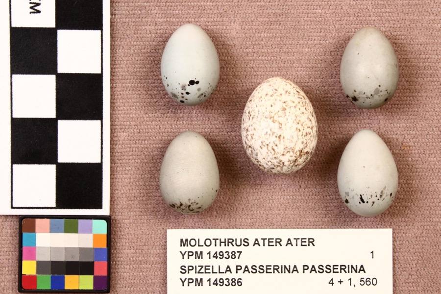 | Spizella passerina passerina (Bechstein, 1798) | 1892 | not recorded | Mansfield |
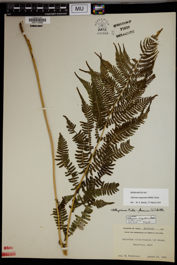 | Athyrium angustum (Willd.) C.Presl | 1895 | Wilkinson, E. | Mansfield. |
 | Alisma subcordatum Raf. | 1835 | Wilkinson, E. | Mansfield |
 | Carex scoparia Schkuhr ex Willd. | 1835 | Wilkinson, E. | Mansfield |
 | Carex stricta Lam. | 1835 | Herb. of E. Wilkinson | Mansfield |
 | Erigeron bellidifolius Muhl. ex Willd. | 1835 | Wilkinson,E. 5229 | [USA, Ohio] Mansfield, Ohio. |
 | Penthorum sedoides L. | 1835 | E. Wilkinson | Mansfield |
 | Verbascum thapsus L. | 1835 | Wilkinson, E. | Mansfield |
 | Achillea millefolium L. | 1836 | Wilkinson, E. | Mansfield |
 | Angelica atropurpurea L. | 1836 | Wilkinson, E. | Mansfield |
 | Apocynum androsaemifolium L. | 1836 | Wilkinson, E. | Mansfield |
All 754 specimens within 10 miles, at the Global Biodiversity Information Facility.
Regional context, not property-specific evidence. The federal mineral resources record lists 3 workings within 5 miles of Building at 252-254 Park Avenue West: 1 past producer, 1 plant, 1 producer. 2 still produce. What was taken out: Sand and Gravel, Construction, Iron. Distance is straight-line from the map coordinates, so a quarry counted here may appear on a neighbouring settlement's page as well.
| Where | Site | Commodity | Status | Recorded |
|---|---|---|---|---|
| Empire Steel-Cyclops Div/ Mansfield | Iron | Producer | ||
| Lexington Pit | Sand and Gravel, Construction | Past Producer | Sedimentary | |
| Lexington Pit & Mill | Sand and Gravel, Construction | Plant |
Regional context, not property-specific evidence. The National Weather Service names Mansfield, the town this property stands in, in 108 storm reports between 1994 and 2026: 54 thunderstorm wind, 43 hail, 7 flash flood, 2 tornado. No death or injury is recorded in these reports. Each account below is quoted exactly as the forecast office filed it, from the NOAA Storm Events Database, and each date opens the federal record of that event.
| When | Event | Place named | Harm | What the report says |
|---|---|---|---|---|
| August 2003 | Flash Flood | Mansfield | $500,000 | Thunderstorms dumped one to three inches of rain on portions of Richland County in a short period of time. Three inches of rain was measured by spotters in Mansfield in less than two hours. Widespread urban and lowland flooding occurred across the county with the Mansfield and Ontario areas most severely affected. Water eight feet deep was reported in an underpass on the east side of Mansfield with up to three feet of water on many other area roads. Several vehicles were stranded in the flood waters. In Mansfield, a basement wall collapsed causing extensive damage to a home. Several hundred other homes in the county experienced basement flooding. |
| July 2003 | Flash Flood | Mansfield | $500,000 | Thunderstorms dumped two to three inches of rain on Mansfield during the evening hours. Widespread street and lowland flooding occurred as several streams and creeks left their banks. A library had to be evacuated due to flooding in a ground level lobby and parking garage. Several streets in the downtown area flooded stranding many vehicles. Several people had to be rescued from their vehicles. Water up to eight feet deep was reported in an underpass just east of downtown. |
| April 2002 | Thunderstorm Wind | Mansfield | $75,000 | Thunderstorm winds tore sections of roofing off of two large buildings and downed many trees on the northwest side of Mansfield. A windshield was also blown out of a car. |
| October 1999 | Thunderstorm Wind | Mansfield | $60,000 | Thunderstorms winds estimated at 60 mph blew the roof off of a house along Kentucky Avenue on the north side of Mansfield. The roofs of two other homes were partially blown off. |
| June 1994 | Thunderstorm Wind | Mansfield | $50,000 | Trees downed, some on power lines. |
| June 2007 | Thunderstorm Wind | Mansfield | $40,000 | Thunderstorm winds tore portions of roof off of two buildings on the east side of Mansfield. |
| June 2010 | Tornado (EF0) | East Mansfield | $35,000 | An EF0 tornado touched down in rural Richland County about two miles north northwest of Lucas. The initial touchdown occurred near the intersection of Crimson and Mount Zion Roads. The tornado then continued southeast for around four tenths of a mile before dissipating. The damage path suggests that the tornado may not have been in constant contact with the ground. The damage path was no more than 20 yards in width. A barn was leveled by the tornado and two other buildings were damaged. Four cattle were injured by flying debris. Debris from the destroyed barn was found about three miles away from the location of the touchdown. |
| June 2006 | Thunderstorm Wind | Mansfield | $35,000 | Numerous trees were reported down, and a barn was destroyed. |
| November 2005 | Thunderstorm Wind | Mansfield | $35,000 | Several utility poles were downed from severe thunderstorm winds. |
| April 2002 | Hail | Mansfield | $35,000 | Dime to half dollar size hail was reported. Several vehicles were damaged. |
| January 2008 | Thunderstorm Wind | Mansfield | $30,000 | Trees were reported down countywide. |
| July 2005 | Thunderstorm Wind | Mansfield | $30,000 | Several trees were reported down. One tree fell onto a house and caused some damage. |
| May 2004 | Thunderstorm Wind | Mansfield | $30,000 | Thunderstorm winds blew over a semi truck on the west side of Mansfield. |
| June 1998 | Thunderstorm Wind | Mansfield | $30,000 | Many trees were downed in and near Mansfield and the roof was torn off of a building at Mansfield Reformatory. |
| June 1996 | Flash Flood | Mansfield | $30,000 | no account filed |
| June 2013 | Thunderstorm Wind | Mansfield | $25,000 | Thunderstorm winds downed several trees across the county. One of the fallen trees partially blocked Interstate 71. |
| November 2013 | Thunderstorm Wind | Mansfield | $25,000 | Thunderstorm winds downed a few trees and large limbs across Richland County. |
| May 2005 | Thunderstorm Wind | Mansfield | $25,000 | Thunderstorm winds estimated at 58 mph did considerable damage at a racetrack near Mansfield Lahm Airport. A 52 mph wind gust was recorded at the airport at 7:09 p.m. Two sections of temporary bleachers were toppled and destroyed. |
| June 2010 | Thunderstorm Wind | Mansfield | $20,000 | Thunderstorm winds downed several trees across Richland County. |
| July 2017 | Thunderstorm Wind | Mansfield | $15,000 | Thunderstorm winds downed a few trees across Richland County. |
| July 2013 | Thunderstorm Wind | Mansfield | $15,000 | Thunderstorm winds were estimated to be at least 60 mph. Several trees were reported down in the Mansfield and Lexington areas. |
| April 2011 | Thunderstorm Wind | Mansfield | $15,000 | Thunderstorm winds caused structural damage in the Mansfield area. |
| March 1995 | Thunderstorm Wind | North Mansfield | $15,000 | Several mobile homes were damaged; trees were downed. |
| April 2004 | Thunderstorm Wind | Mansfield | $12,000 | Thunderstorm winds downed several trees and a utility pole. |
| June 2022 | Thunderstorm Wind | Mansfield | $10,000 | Power pole fell onto a delivery truck about two-miles southwest of Mansfield. Farther downstream (i.e. about two-miles SSW of Mansfield), a large tree fell onto a house and punctured its roof. |
| June 2011 | Thunderstorm Wind | Mansfield | $10,000 | Damaging winds from a supercell thunderstorm downed several large trees. |
| April 2011 | Thunderstorm Wind | Mansfield | $10,000 | Thunderstorm winds damaged a structure. |
| August 2003 | Thunderstorm Wind | Mansfield | $10,000 | Thunderstorm winds downed a few trees. |
| July 2002 | Thunderstorm Wind | Mansfield | $10,000 | Thunderstorm winds downed a few trees. |
| June 2002 | Hail | Mansfield | $10,000 | Quarter size hail was observed. |
| June 2000 | Thunderstorm Wind | Mansfield | $10,000 | Thunderstorms winds downed many trees, especially on the south side of Mansfield. |
| August 2000 | Thunderstorm Wind | Mansfield | $10,000 | Thunderstorm winds downed many trees in Mansfield and Shenandoah. |
| August 1997 | Tornado (F0) | Mansfield | $10,000 | A small tornado touched down east of Mansfield near State Route 430 in Mifflin Township. It remained on the ground for only a short time and downed numerous trees. |
| June 1996 | Flash Flood | Mansfield | $10,000 | no account filed |
| November 2002 | Thunderstorm Wind | Mansfield | $8,000 | Thunderstorm winds downed three trees. |
| June 2010 | Thunderstorm Wind | Mansfield | $5,000 | Thunderstorm winds knocked down a scoreboard at a baseball field located near the intersection of State Route 13 and U.S. Highway 30. Dugouts at the field also sustained minor damage. |
| January 2008 | Thunderstorm Wind | Mansfield | $5,000 | Five trees were reported down by law enforcement across the county. |
| June 2007 | Thunderstorm Wind | Mansfield | $5,000 | Thunderstorm winds downed a large sign along U.S Highway 42 on the east side of Mansfield. A tree nearby was also downed. |
| April 2004 | Hail | Mansfield | $5,000 | Half dollar size hail was observed seven miles east of Mansfield. |
| November 2002 | Hail | Mansfield | $5,000 | Quarter size hail was observed two miles north of Mansfield. |
| April 2002 | Hail | Mansfield | $5,000 | Dime size hail was reported. |
| August 1994 | Thunderstorm Wind | Mansfield | $5,000 | no account filed |
| May 2014 | Hail | Mansfield | $3,000 | A trained weather spotter reported quarter size hail in Mansfield. |
| June 2014 | Thunderstorm Wind | Mansfield | $3,000 | Thunderstorm winds downed several large tree limbs. |
| June 2005 | Thunderstorm Wind | Mansfield | $3,000 | A large tree and a few large limbs were reported down. |
| September 2003 | Thunderstorm Wind | Mansfield | $3,000 | Thunderstorm winds downed a few large tree limbs. |
| June 1998 | Thunderstorm Wind | Mansfield | $3,000 | Large limbs and power lines were downed. |
| July 1997 | Thunderstorm Wind | Mansfield | $3,000 | no account filed |
| April 2014 | Hail | Mansfield | $2,000 | A trained weather spotter reported quarter size hail and wind gusts to 50 mph. |
| June 2014 | Thunderstorm Wind | Mansfield | $2,000 | Thunderstorm winds downed a couple of trees. |
| June 2010 | Thunderstorm Wind | Mansfield | $2,000 | Thunderstorm winds downed a few large tree limbs. |
| July 2006 | Thunderstorm Wind | Mansfield | $2,000 | A few large limbs were reported down. |
| July 2003 | Thunderstorm Wind | Mansfield | $2,000 | Thunderstorm winds downed two large trees limbs in Washington Township to the south of Mansfield. |
| July 2001 | Thunderstorm Wind | Mansfield | $2,000 | Thunderstorm winds downed a tree five miles east of Mansfield. |
| May 2018 | Thunderstorm Wind | East Mansfield | $1,000 | Thunderstorm winds downed a tree which blocked a road in Mansfield. |
| May 2013 | Thunderstorm Wind | Mansfield | $1,000 | Thunderstorm winds downed a large tree. |
| March 2011 | Hail | Mansfield | $1,000 | Pea sized hail was reported with this storm. |
| June 2010 | Thunderstorm Wind | Mansfield | $1,000 | Thunderstorm winds downed several large tree limbs. |
| March 2026 | Hail | Mansfield | - | Hail up to quarter-size about two-miles SSW of Mansfield. |
| March 2026 | Hail | Mansfield | - | Hail up to quarter-size about 1.5-miles southwest of Mansfield. |
United States Geological Survey topographic sheets whose coverage includes this point. Matched by taking the coordinate the National Park Service records for this property, then testing that coordinate against the published boundary of every sheet.
When this property was proposed for the National Register, someone wrote the case for it: what the building is, and why it matters. That document is a federal record in the public domain. It is reproduced in full on its own page, word for word and never summarised. The text was read off the scanned case file by machine, so the occasional stray character is the recogniser's and the 1970s typewriter's.
The whole case file for this property - 2,108 words, 14 pages, reproduced complete.
Quoted from the National Register nomination for reference 84003802, 14 pages, held by the National Archives in Record Group 79. See the catalogue record.
Other National Register properties close enough to walk or drive between, ordered by distance from this one. Both positions come from the same geocoding pass that matched these properties to their map sheets.
| Photograph | Property | Distance | Listed |
|---|---|---|---|
 | Building at 240 Park Avenue West | under 500 feet | 1983 |
 | Colonial, The | under 500 feet | 1983 |
 | Park Avenue Baptist Church | under 500 feet | 1983 |
 | Susan Sturges House | 0.1 miles | 1983 |
 | F.A. Gilbert House | 0.2 miles | 1984 |
 | Old Carriage Barn | 0.2 miles | 1983 |
| National Archives record | The nomination case file for reference 84003802 in Record Group 79. |
| Richland County | All 68 listed properties in this county. |