Listed on the National Register of Historic Places in
1985. A historic map-sheet match is not published yet. The record needs a coordinate-quality review before it can be joined to a sheet boundary.
From the record
“The Keifer Croco farm was a stop along the Underground Railroad. This was a parallel route to Wooster east of the route through modern Shreve.”
Wikipedia article Croco House, CC BY-SA 4.0.
one of 13 National Register listings in Holmes County · listed in 1985 · category: Building.
National Register reference number.85001343- the number the National Park Service assigned this property when it was listed, and the key its nomination file is catalogued under at the National Archives.
Fires near this property
6 since 2005
Regional context, not property-specific
evidence. The
federal wildfire occurrence database
lists 6 fires within 5 miles of Croco House between
2005 and 2020, burning about 6 acres in total. None started naturally. None was recorded as arson.
Distance is straight-line from the map coordinates, so a fire counted
here may appear on a neighbouring settlement's page as well.
Reported cause
Fires
Debris and open burning
4
Missing data/not specified/undetermined
2
The most recent of
them, most recent first, with the day each was reported and the service
that recorded it.
Regional context, not property-specific
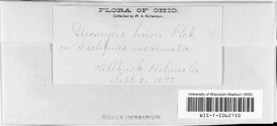
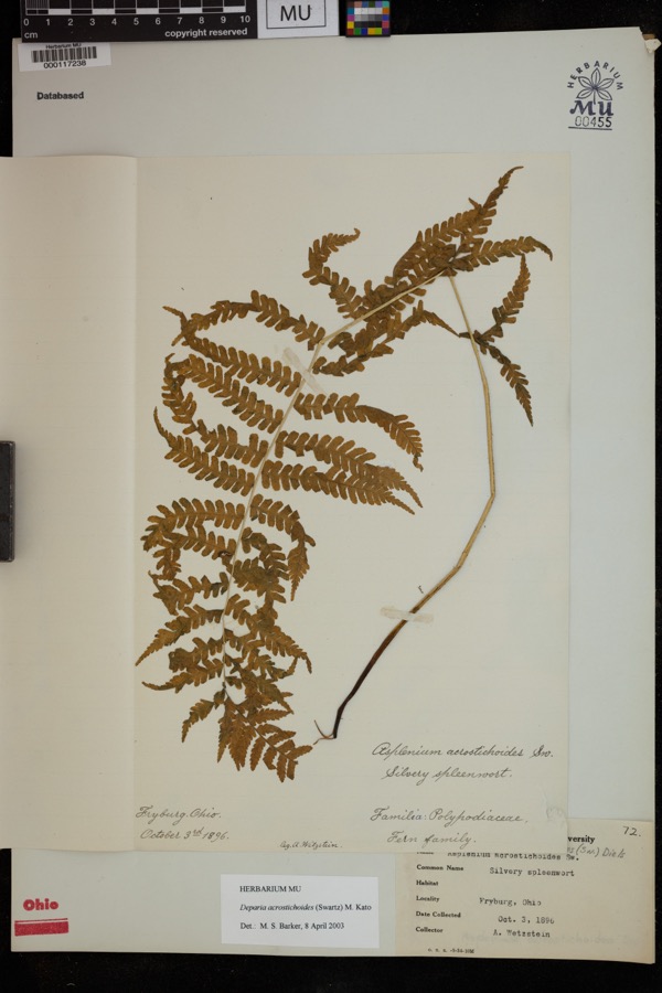
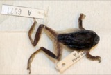
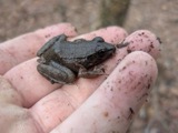
evidence. Museums hold 173 specimens
collected within 10 miles of Croco House between 1890 and
1974: 136 Animalia, 34 Plantae, 3 Fungi. 12 distinct Species records are shown.
Collected by A. D. Selby, A. P. Morgan, C. Triplehorn and others. Each is a
physical object with a catalogue
number, and each entry opens the museum's record. This is what was
collected and kept, not a survey of what lives here - nothing can be
concluded from a species being absent.
Regional context, not property-specific
evidence. The federal mineral resources record lists
8 workings within 5 miles of Croco House: 5 past producers, 3 producers.
3 still produce. What was taken out: Sand and Gravel, Construction, Clay, Limestone, General. Distance is straight-line from the
map coordinates, so a quarry counted here may appear on a neighbouring
settlement's page as well.
Regional context, not property-specific
evidence. The National Weather Service names
Holmesville, the town this property stands in, in 14 storm reports between 1996 and 2022: 7 thunderstorm wind, 6 hail, 1 flash flood.
No death or injury is recorded in these reports. Each account below is quoted exactly as the forecast office
filed it, from the NOAA Storm Events Database, and each date
opens the federal record of that event.
No historic map-sheet match is published
for this property yet. That does not mean no map exists. This record needs
a coordinate-quality review before it can be joined to a sheet boundary.
Browse the county's mapped places while that work is
pending.
From the nomination file
2,435 words on record
When this property was proposed for the
National Register, someone wrote the case for it: what the building is,
and why it matters. That document is a federal record in the public domain.
It is quoted below word for word, never summarised. The text was read off the scanned case file by machine, so the
occasional stray character is the recogniser's and the 1970s
typewriter's.
Description of the property
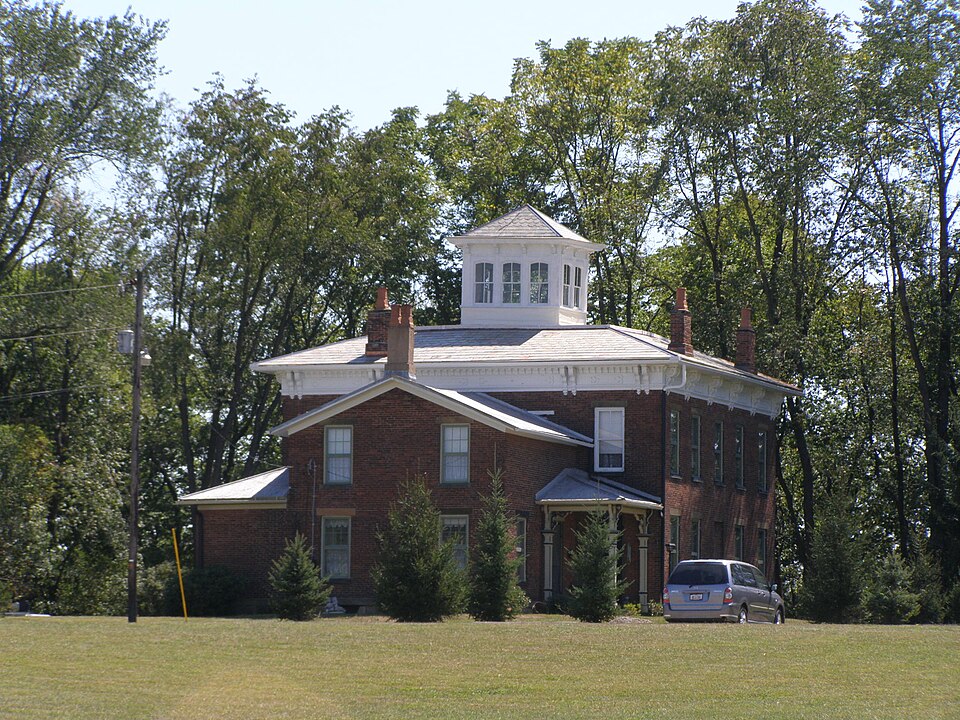
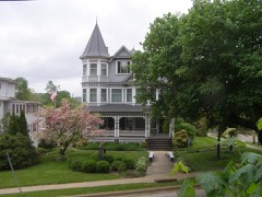
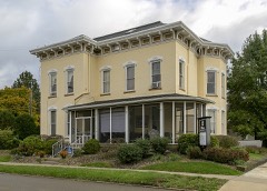
This home is situated adjacent a slight escarpment which falls off to Salt Creek to the immediate south. Located in the fertile bottomland of the Killbuck River Valley, the settlement of this land by Peter Croco in 1818 was a natural lure to good farming near a water source. This house is a two story structure in the main core. It has an addition (contiguouswithmain block and original) which serves as a kitchen with a one room loft. A pantry is attached to this directly to the rear. Front, rear and side porches complete the irregular pattern. This red brick house is imposing as set back from a well traveled secondary highway. Its Italianate styling is a very close representation of plan book fabrication for rural settings.
Its lack of extreme ornamentation is compatible with architecture in the vernacular mode. The truncated, hipped roof structure is topped with a belvedere with its own The ten windows in this feature are double-hung and semi-elliptical. The belvedere has a door for walkout observation. cresting for the strolling area is now absent. The roof is galvanized, corrugated metal - and is painted dark green. It is in good repair. chimneys are stable al though somewhat reduced without ornamental corbeling. Limestone chimney caps (horizontal) are still intact. A double-bracketed cornice is highlighted with deeply scrolled carpenter work. The frieze is highlighted with decorative flatwork of intricate wooden des ign. Ornamental modillions punctuate the cornice between brackets.
paired brackets themselves over extend the architrave onto the second brick course from the top of that detail. Water runoff was through an interior gable guttering system, since amended. On the main block, window treatment is two-over-two, double hung. Window lights on the kitchen and loft room are six-over-six, double hung sash.
(in one paragraph) unknown Criteria C The Croco House is significant as an expression of late nineteenth century Italianate style architecture. It was built in 1873 by Peter and Keifer Croco who were influential stock raisers in the Killbuck Valley. The Croco House demonstrates clear aspirations for the architecture of "Italian villa" type country estates popular in the 1870s. This was a time of major commercial and agricultural growth in Holmes County, resulting in the construction of several Italianate styled farmhouses in the northern part of the county. One of these, the Joseph DeYarmon House, is already listed on the National Register (5/4/82). The Croco House, built in 1873, appears to be unique among the identified resources of this era in its use of a large bel vedere.
This feature is likely a consequence of its hilltop location overlooking the KillbuckValley. It undeniably reflects the wealth and success of the Croco stock breeding activities, a prominent occupation among Holmes County farmers. Arriving from Pennsylvania, Peter Croco bought large tracts of land just a few miles north of the Greenville Treaty Line (40 38'). Shortly after his arrival, he built a "blockhouse" as a buffer against Indian unrest. As an early landholder in newly opened lands and eventual ly becoming an established farmer, the Croco Homestead became a locus for the small community. of Holmesville was soon to be centered near the home owing to the influence of Croco in the daily lives of his neighbors. By popular assent, Peter Croco was appointed regional judge.
Peter and his son, Keiffer (varied spellings: Keifer and Keefer) built this home as a joint proposal. Tax and atlas records and family letters show Peter Croco residing on the farm until 1886. Keiffer was to inherit the holdings.
Quoted from the National Register nomination
for reference 85001343, 12 pages, held by the National Archives in Record
Group 79. See the
catalogue record.
Listed places nearby
6 within 8 miles
Other National Register properties close
enough to walk or drive between, ordered by distance from this one. Both
positions come from the same geocoding pass that matched these properties
to their map sheets.
Listing record. National Park Service National Register of Historic Places, listed-properties dataset, current to 2026-05-22.
Map join. Address geocoded through the United States Census geocoder, then tested against the published boundary of every sheet in the USGS Historical Topographic Map Collection.
How this page is made. Listing fields come from federal records; map-sheet coverage is a labelled coordinate-to-boundary calculation, not a source-field claim.
Wildfire. Short, Karen C. 2022. Spatial wildfire occurrence data for the United States, 1992-2020 [FPA_FOD_20221014]. 6th Edition. Fort Collins, CO: Forest Service Research Data Archive. https://doi.org/10.2737/RDS-2013-0009.6 Collected with United States Government funding and usable without additional permissions or fees.
Specimens. Global Biodiversity Information Facility (GBIF), https://www.gbif.org/. Only records licensed CC0 or CC BY are used. Records licensed CC BY-NC are excluded because this site carries advertising. Images are checked individually and any whose licence is non-commercial, no-derivatives or unreadable is refused.
Mines and quarries. USGS Mineral Resources Data System (MRDS) https://mrdata.usgs.gov/mrds/ A work of the United States government, no copyright under 17 U.S.C. 105.
Storms. NOAA National Centers for Environmental Information, Storm Events Database https://www.ncei.noaa.gov/stormevents/ A work of the United States government, no copyright under 17 U.S.C. 105. Narratives are quoted verbatim from the National Weather Service report and are not edited or summarised.
 Block
Block