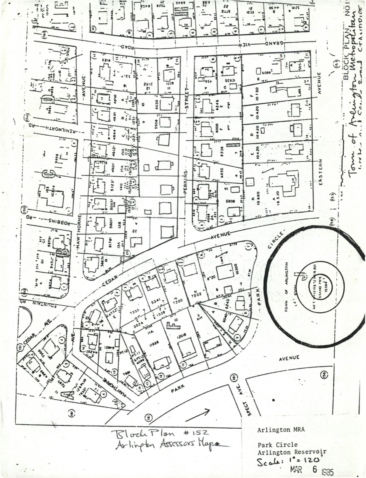
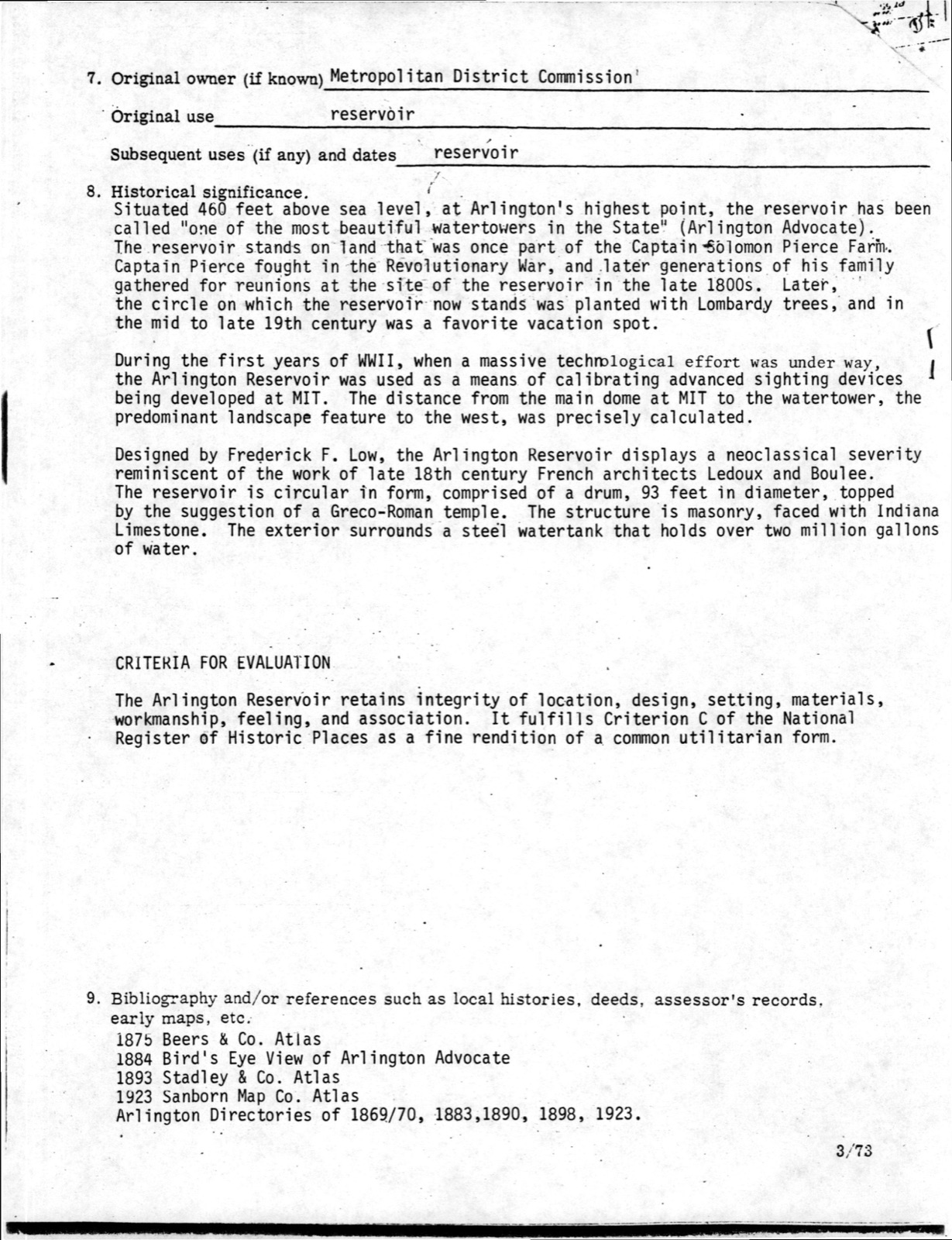
Photographs from the nomination case file, National Park Service records.
Arlington Reservoir
Listed on the National Register of Historic Places in
1985. A historic map-sheet match is not published yet. The record needs a coordinate-quality review before it can be joined to a sheet boundary.
From the record
“Passing along Common Street, .and leaving the little Catholic Church of St. Joseph's on the left, we reach the Winthrop W.”
History of Middlesex County, Massachusetts, with Biographical Sketches of Many of Its Pioneers and Prominent Men (1890). Machine-read text.
one of 1100 National Register listings in Middlesex County · listed in 1985 · category: Structure · one of 3 National Historic Landmarks in Middlesex County.
National Register reference number.85002676- the number the National Park Service assigned this property when it was listed, and the key its nomination file is catalogued under at the National Archives.
In the gradual growth of the ice trade, which was for so long a period of years an important factor in the development of Boston as a leading port of commerce, a railroad had been built from Charlestown to Fresh Pond, for the purpose of carrying its ice to tidewater. An extension of this road to the westward was projected. To pass from the valley of the Mystic to that of the Charles the most feasible route was found to be between Fresh and Spy Ponds, and thence along the southern border of Wellington Hill. At the western extremity of the hill, a slight elevation turns Beaver Brook from a southerly to a westerly direction, and causes it to empty its waters into the Charles River at Waltham, and the location of the railroad followed the brook in its westerly course. Aside fron> the advantages of this route, as determined by the topographical survey - advantages so great that another highway to the West has since taken the same outlet - it was an additional recommendation that the valley at the base of Wellington Hill was sparsely populated. It formed the outskirts of two old towns. Watertown and West Cambridge (now Arlington), and was, by reason of its remoteness from the centres of those towns, occupied exclusively by a farming population. In 1848 a charter was obtained for the Fitchburg Railroad, and it was opened to Waltham in December of that year. At the crossing of Concord Turnpike was placed the station of Wellington Hill, destined to make the centre of the charming surburban town of Belmont. At this time there were about one hundred and twenty-five families residing upon the territory now included within the limits of the town. Improved facilities for communication with the neighboring metropolis led to a steady growth in numbers. The increase was not rapid. There was no place of public worship nearer than West Cambridge or Watertown, no store, post-office, nor public hall. The policy of the railroad in respect to train accommodations and rates of fare was a fluctuating one, as, indeed, it continued to be for many years. The roads and the schools were not such as to otter special attractions to those seeking a residence.
The town, as incorporated, took from Waltham 429 acres, from West Cambridge 1773 acres, and from Watertown 1446 acres, making a total of 3648 acres, or 5.75 square miles. Arlington bounds it upon the north, Cambridge upon the east and Watertown on the south. Its western boundary touches Lexington, Waltham and Watertown. Its town-hall is six and a half miles W.S.W. from the State-House. The population in 1853, when the first petitions for incorporation were circulated, was 1004, which was increased to 1175 at the date of incorporation. The valuation in 1859 was $2,036,077.
Regional context, not property-specific
evidence. The
federal wildfire occurrence database
lists 56 fires within 5 miles of Arlington Reservoir between
1992 and 2020, burning about 101 acres in total. 1 started naturally. 24 were recorded as arson.
Distance is straight-line from the map coordinates, so a fire counted
here may appear on a neighbouring settlement's page as well.
Reported cause
Fires
Arson/incendiarism
24
Missing data/not specified/undetermined
16
Debris and open burning
8
Recreation and ceremony
5
Misuse of fire by a minor
2
Natural
1
The most recent of
them, most recent first, with the day each was reported and the service
that recorded it.
Regional context, not property-specific
evidence. Museums hold 2,195 specimens
collected within 10 miles of Arlington Reservoir between 1898 and
1975: 970 Animalia, 691 Plantae, 468 Fungi, 30 Protozoa, 17 Bacteria, 10 Chromista, 9 Unrecorded. 12 distinct Species records are shown.
Collected by ?, A B Seymour, A B. Proper and others. Each is a
physical object with a catalogue
number, and each entry opens the museum's record. This is what was
collected and kept, not a survey of what lives here - nothing can be
concluded from a species being absent.
Regional context, not property-specific
evidence. The federal mineral resources record lists
14 workings within 5 miles of Arlington Reservoir: 9 past producers, 3 producers, 2 plants.
5 still produce. What was taken out: Sand and Gravel, Construction, Stone, Crushed/Broken, Tantalum, Niobium (Columbium). Distance is straight-line from the
map coordinates, so a quarry counted here may appear on a neighbouring
settlement's page as well.
Regional context, not property-specific
evidence. The National Weather Service names
Arlington, the town this property stands in, in 11 storm reports between 1998 and 2022: 7 thunderstorm wind, 2 hail, 1 flash flood, 1 flood.
No death or injury is recorded in these reports. Each account below is quoted exactly as the forecast office
filed it, from the NOAA Storm Events Database, and each date
opens the federal record of that event.
A microburst occurred in Arlington, downing numerous trees. Most of these trees were downed in an approximately 1 square mile section of eastern Arlington, between the intersection of Massachusetts Avenue and Broadway and Route 16 around the Cambridge/Arlington line. Numerous houses and vehicles were damaged by downed trees. Traffic signals and street lights were also damaged or downed by falling trees/wind.
Several trees and branches were downed at the corner of Washington and Arnold by thunderstorm winds. A tree was downed onto a car on Howard Street. A large branch on Dudley Street was downed onto wires.
In Arlington, a tree fell into a house on Hamlet Street. A tree was down on Quincy Street. |A tree was down on Allen Street near Broadway. A tree and wires were down on Sunnyside Avenue. A tree limb fell into the side of a house on Davis Avenue.
No historic map-sheet match is published
for this property yet. That does not mean no map exists. This record needs
a coordinate-quality review before it can be joined to a sheet boundary.
Browse the county's mapped places while that work is
pending.
From the nomination file
1,834 words on record
When this property was proposed for the
National Register, someone wrote the case for it: what the building is,
and why it matters. That document is a federal record in the public domain.
It is reproduced in full on its own page, word for word and never summarised. The text was read off the scanned case file by machine, so the
occasional stray character is the recogniser's and the 1970s
typewriter's.
Quoted from the National Register nomination
for reference 85002676, 11 pages, held by the National Archives in Record
Group 79. See the
catalogue record.
Listed places nearby
6 within 8 miles
Other National Register properties close
enough to walk or drive between, ordered by distance from this one. Both
positions come from the same geocoding pass that matched these properties
to their map sheets.
Listing record. National Park Service National Register of Historic Places, listed-properties dataset, current to 2026-05-22.
Map join. Address geocoded through the United States Census geocoder, then tested against the published boundary of every sheet in the USGS Historical Topographic Map Collection.
How this page is made. Listing fields come from federal records; map-sheet coverage is a labelled coordinate-to-boundary calculation, not a source-field claim.
Wildfire. Short, Karen C. 2022. Spatial wildfire occurrence data for the United States, 1992-2020 [FPA_FOD_20221014]. 6th Edition. Fort Collins, CO: Forest Service Research Data Archive. https://doi.org/10.2737/RDS-2013-0009.6 Collected with United States Government funding and usable without additional permissions or fees.
Specimens. Global Biodiversity Information Facility (GBIF), https://www.gbif.org/. Only records licensed CC0 or CC BY are used. Records licensed CC BY-NC are excluded because this site carries advertising. Images are checked individually and any whose licence is non-commercial, no-derivatives or unreadable is refused.
Mines and quarries. USGS Mineral Resources Data System (MRDS) https://mrdata.usgs.gov/mrds/ A work of the United States government, no copyright under 17 U.S.C. 105.
Storms. NOAA National Centers for Environmental Information, Storm Events Database https://www.ncei.noaa.gov/stormevents/ A work of the United States government, no copyright under 17 U.S.C. 105. Narratives are quoted verbatim from the National Weather Service report and are not edited or summarised.
 Block
Block