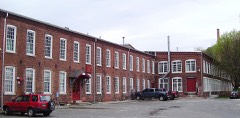
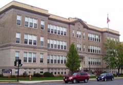
Listed on the National Register of Historic Places in
1985. A historic map-sheet match is not published yet. The record needs a coordinate-quality review before it can be joined to a sheet boundary.
From the record
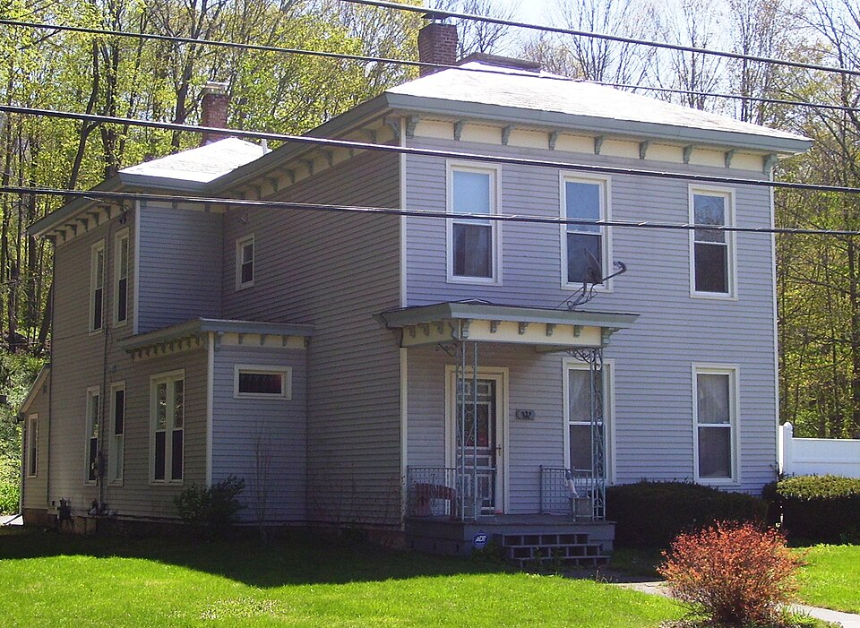
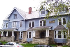
“The Charles Browne House is a historic house located in North Adams, Massachusetts. Built in 1869, it was the home of Charles A.”
Wikipedia article Charles Browne House, CC BY-SA 4.0.
one of 94 National Register listings in Berkshire County · listed in 1985 · category: Building · one of 1 National Historic Landmarks in Berkshire County.
National Register reference number.85003413- the number the National Park Service assigned this property when it was listed, and the key its nomination file is catalogued under at the National Archives.
Fires near this property
33 since 2006
Regional context, not property-specific
evidence. The
federal wildfire occurrence database
lists 33 fires within 5 miles of Browne, Charles, House between
2006 and 2020, burning about 311 acres in total. 1 started naturally. None was recorded as arson.
Distance is straight-line from the map coordinates, so a fire counted
here may appear on a neighbouring settlement's page as well.
Reported cause
Fires
Debris and open burning
15
Recreation and ceremony
6
Smoking
5
Equipment and vehicle use
4
Missing data/not specified/undetermined
2
Natural
1
The most recent of
them, most recent first, with the day each was reported and the service
that recorded it.
Regional context, not property-specific
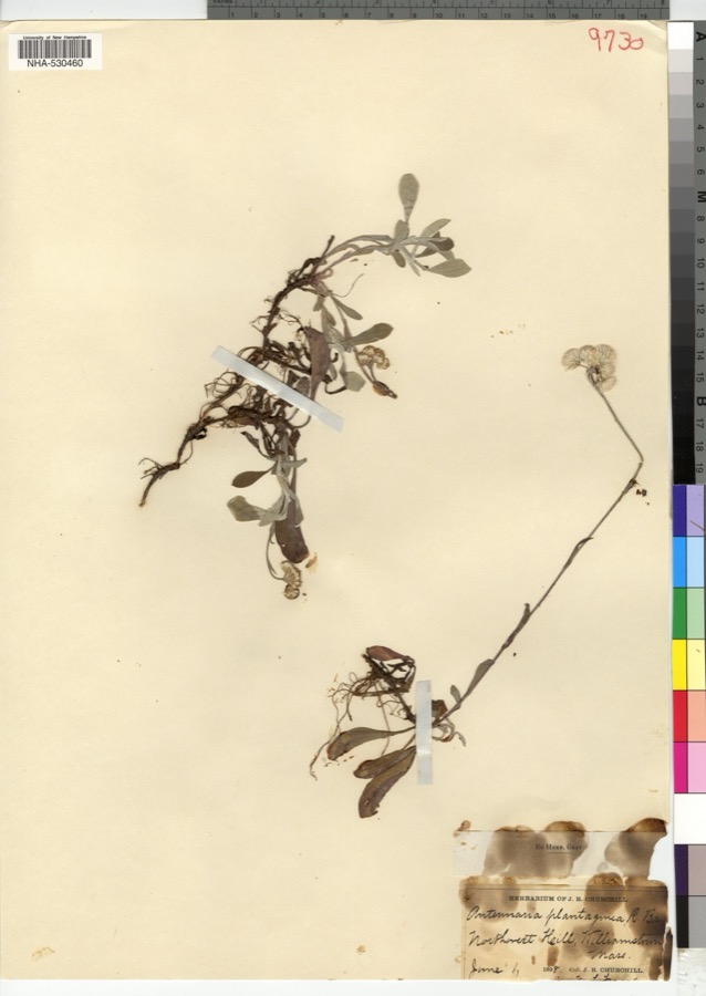
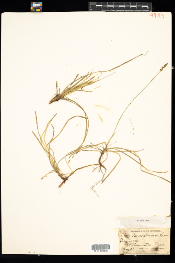
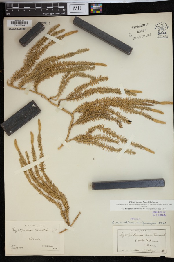
evidence. Museums hold 895 specimens
collected within 10 miles of Browne, Charles, House between 1828 and
1975: 433 Plantae, 248 Animalia, 193 Fungi, 11 Protozoa, 7 Unrecorded, 3 Chromista. 12 distinct Species records are shown.
Collected by A K Harrison, A Schwartz, A. H. Gustafson and others. Each is a
physical object with a catalogue
number, and each entry opens the museum's record. This is what was
collected and kept, not a survey of what lives here - nothing can be
concluded from a species being absent.
Regional context, not property-specific
evidence. The federal mineral resources record lists
11 workings within 5 miles of Browne, Charles, House: 4 producers, 4 past producers, 1 plant, 1 unknown.
5 still produce. What was taken out: Stone, Crushed/Broken, Limestone, General, Sand and Gravel, Construction, Calcium. Distance is straight-line from the
map coordinates, so a quarry counted here may appear on a neighbouring
settlement's page as well.
Regional context, not property-specific
evidence. The National Weather Service names
North Adams, the town this property stands in, in 50 storm reports between 1994 and 2024: 26 thunderstorm wind, 10 hail, 5 lightning, 5 flash flood.
The reports record 1 injury. Each account below is quoted exactly as the forecast office
filed it, from the NOAA Storm Events Database, and each date
opens the federal record of that event.
A National Weather Service Storm Survey Team found straight line wind damage in North Adams. Most of the damage was confined to a one half mile, by two block area on the campus of the Massachusetts College of Liberal Arts.||Significant roof damage occurred to three college dormitories, mostly from tin flashing that was torn off due to the strong winds. In addition, several trees and large tree limbs were also downed, one of which smashed a car in the parking lot near the alumni office on Montana Street. Approximately 400 students were evacuated due to the damage.||The damage was consistent with maximum wind speeds of near 100 MPH.
Clarksburg Town Administrator Carl McKinney reported Millard Avenue suffering serious damage from heavy rainfall. In addition, the Clarksburg Town Hall basement was taking on water.
Early on August 16, lightning from a thunderstorm struck a house in North Adams, narrowly missing a man. Lightning produced a hole inside a bedroom and damaged a peak in the house. A small fire, started by the same lightning bolt, briefly flared up. Firemen were also deployed to the house, but the fire had been extinguished before they arrived.
Lightning struck a utility pole outside the back of the North Adams Regional Hospital around 13:37 EST, which sent an electrical surge throughout the hospital. This melted a wire in the electrical panel inside the hospital that controlled an elevator, making the elevator unserviceable.
A routine inspection during the morning of Saturday, December 26th resulted in the discovery of a landslide outside the west portal of the Hoosac Tunnel near North Adams. Eight inches of mud and stone had to be cleared from the rails, resulting in two freight trains being delayed. The cause was likely due to the heavy rains on Friday, December 25th.
Flash flooding was reported in North Adams as a result of heavy rainfall from thunderstorms. State Street was impassable due to flooding and was temporarily closed.
Flash flooding was reported on Church Street north of Adams as a result of heavy rainfall from thunderstorms. The force of flooding removed manhole covers off the road.
Flash flooding was reported in North Adams due to heavy rainfall from repeated thunderstorms. Several roads in the downtown portion of the city were closed due to the flooding.
Persistent moderate to heavy rainfall led to isolated flooding in portions of Berkshire County during the late morning and early afternoon hours of Tuesday September 11th. Flooding closed a portion of Massachusetts Route 2 in the town of Florida from 1143 LST to 1400 LST. In addition, several roads were closed in and around North Adams due to high water, including a portion of River Street, from Houghton Street to Brown Street, as well as a portion of Beaver Street and Mohawk Forest Boulevard. North Adams City firefighters also pumped water out of several private residences on Pleasant Street and State Road.||
Numerous large tree limbs and wires were reported down in and near North Adams due to strong thunderstorm winds. One downed large tree limb on Massachusetts Avenue in North Adams between Roberts Drive and Demond Avenue obstructed the road, reducing traffic to one lane.
No historic map-sheet match is published
for this property yet. That does not mean no map exists. This record needs
a coordinate-quality review before it can be joined to a sheet boundary.
Browse the county's mapped places while that work is
pending.
From the nomination file
1,621 words on record
When this property was proposed for the
National Register, someone wrote the case for it: what the building is,
and why it matters. That document is a federal record in the public domain.
It is reproduced in full on its own page, word for word and never summarised. The text was read off the scanned case file by machine, so the
occasional stray character is the recogniser's and the 1970s
typewriter's.
Quoted from the National Register nomination
for reference 85003413, 9 pages, held by the National Archives in Record
Group 79. See the
catalogue record.
Listed places nearby
6 within 8 miles
Other National Register properties close
enough to walk or drive between, ordered by distance from this one. Both
positions come from the same geocoding pass that matched these properties
to their map sheets.
Listing record. National Park Service National Register of Historic Places, listed-properties dataset, current to 2026-05-22.
Map join. Address geocoded through the United States Census geocoder, then tested against the published boundary of every sheet in the USGS Historical Topographic Map Collection.
How this page is made. Listing fields come from federal records; map-sheet coverage is a labelled coordinate-to-boundary calculation, not a source-field claim.
Wildfire. Short, Karen C. 2022. Spatial wildfire occurrence data for the United States, 1992-2020 [FPA_FOD_20221014]. 6th Edition. Fort Collins, CO: Forest Service Research Data Archive. https://doi.org/10.2737/RDS-2013-0009.6 Collected with United States Government funding and usable without additional permissions or fees.
Specimens. Global Biodiversity Information Facility (GBIF), https://www.gbif.org/. Only records licensed CC0 or CC BY are used. Records licensed CC BY-NC are excluded because this site carries advertising. Images are checked individually and any whose licence is non-commercial, no-derivatives or unreadable is refused.
Mines and quarries. USGS Mineral Resources Data System (MRDS) https://mrdata.usgs.gov/mrds/ A work of the United States government, no copyright under 17 U.S.C. 105.
Storms. NOAA National Centers for Environmental Information, Storm Events Database https://www.ncei.noaa.gov/stormevents/ A work of the United States government, no copyright under 17 U.S.C. 105. Narratives are quoted verbatim from the National Weather Service report and are not edited or summarised.
 Block
Block