Listed on the National Register of Historic Places in
1986. A historic map-sheet match is not published yet. The record needs a coordinate-quality review before it can be joined to a sheet boundary.
From the record
one of 338 National Register listings in Cuyahoga County · listed in 1986 · category: Building · one of 3 National Historic Landmarks in Cuyahoga County.
National Register reference number.86000032- the number the National Park Service assigned this property when it was listed, and the key its nomination file is catalogued under at the National Archives.
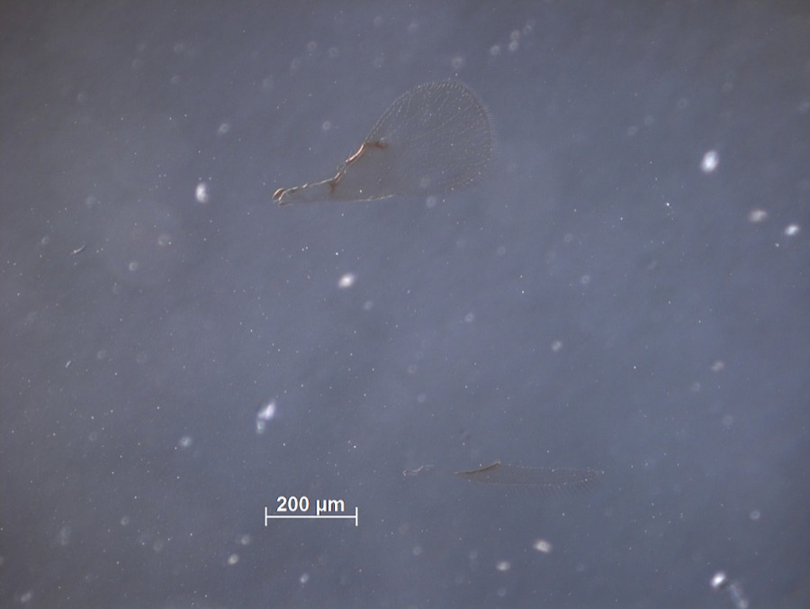
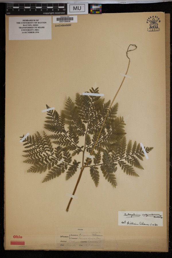
Specimens collected near this property
12 of 4,528 shown
Regional context, not property-specific
evidence. Museums hold 4,528 specimens
collected within 10 miles of Hangar, The between 1850 and
1975: 4,093 Animalia, 227 Fungi, 128 Plantae, 73 Protozoa, 5 Unrecorded, 1 Chromista, 1 incertae sedis. 12 distinct Species records are shown.
Collected by A. D. Huryn, A. Hall, A. Newhall and others. Each is a
physical object with a catalogue
number, and each entry opens the museum's record. This is what was
collected and kept, not a survey of what lives here - nothing can be
concluded from a species being absent.
Regional context, not property-specific
evidence. The federal mineral resources record lists
1 working within 5 miles of Hangar, The: 1 unknown.
None of them still produces. What was taken out: Tungsten. Distance is straight-line from the
map coordinates, so a quarry counted here may appear on a neighbouring
settlement's page as well.
Regional context, not property-specific
evidence. The National Weather Service names
Beachwood, the town this property stands in, in 6 storm reports between 2010 and 2023: 4 hail, 1 flash flood, 1 thunderstorm wind.
No death or injury is recorded in these reports. Each account below is quoted exactly as the forecast office
filed it, from the NOAA Storm Events Database, and each date
opens the federal record of that event.
An isolated thunderstorm developed on an afternoon lake breeze on August 10th. This storm, though small in structure and spatial coverage, had a high rainfall rates. The rain started around 5 pm and ended around 7 pm. The storm peaked around 6 pm where 0.94 or rain was recorded in 10 minutes (rainfall rate of 6.36/hr) in a real-time rain gauge in Beachwood just west of Pepper Pike. The storm total rainfall in Beachwood was 3.26, with an unofficial reading of 4.5 in Pepper Pike. The storm resulted in widespread road closures, flooded basements, yards, garages, and minor flooding on first floors. Over 200 homes and businesses experienced water damage, primarily from backed up storm drainage into basements.
No historic map-sheet match is published
for this property yet. That does not mean no map exists. This record needs
a coordinate-quality review before it can be joined to a sheet boundary.
Browse the county's mapped places while that work is
pending.
From the nomination file
1,965 words on record
When this property was proposed for the
National Register, someone wrote the case for it: what the building is,
and why it matters. That document is a federal record in the public domain.
It is quoted below word for word, never summarised. The text was read off the scanned case file by machine, so the
occasional stray character is the recogniser's and the 1970s
typewriter's.
Description of the property
the structure in an Art Deco motif. Monel metal, a non-rusting al loy used in overlooking the tennis court. Above the window frames, a mural of deep-sea alternate squares of grey and rainbow U.S. Quarry Tile, framed by a border of date pool and tennis areas where steel framing forms a glass skylight;crank summer sports accessible and practicable year round.The T-shaped roof.The building features steel sash windows with wood sills except in the landing and a small fountain at the ground level just below the entrance. building houses a clay tennis court and a swimming pool,glass-roofed to admit the sun and heated against the winter's chill;a lounge and men's and women's exterior and interior of the structure.Black brick frames the asbestos slate NPS Form 10-900-a OMB No. 1024-0018 Exp.
10-31-84 United States Department of the Interior National Park Service For NPS use only Page band on plaster; six pivoted steel windows on north wall, stylized buttressess along entire pool section. was installed to keep the air fresh, radiators remain high on the walls. Included in this nomination.
received Continuation sheet National Register of Historic Places Inventory-Nomination Form The building rests on about four acres and constitutesthe property The Hangar, Beachwood, Cuyahoga County, Ohio The clay tennis court is in the other steel-framed wing.It is distinguished The rest of the Blossom estate across the street from the Hangar is not being Constructed of steel framing, the natatorium houses the pool which measures Monel metal frames with ribbed glass-reflectors behind; crank-operated browne cosmetic in nature.
(in one paragraph) revival styles popular during the early twentieth century.The Hangar isa social/ other (specify) - archeology-historic -conservation The Hangar is an example of the later work of Abram Garfield (1872-1958). _literature Garfleld's execution of the Art Deco style.The building is also significant .invention --science -_law -. archeology-prehistoric -- community planning - landscape architecture._. religion The recreational facility was bullt in 1930 as part of the estate of Dudley S.
houses and other more commonly found ancillary bulldings from this period, from the early twentieth century Tudor Revival style Blossom family home the 1920s and 1930s.While there remain several fine examples of carriage as an example of the Art Deco style characterized through its use of is predominantly residential and showsinfluences of the various period the large estate lifestyle of the turn-of-the-century.A Tifestyle which was maintained into 9.
Quoted from the National Register nomination
for reference 86000032, 21 pages, held by the National Archives in Record
Group 79. See the
catalogue record.
Listed places nearby
6 within 8 miles
Other National Register properties close
enough to walk or drive between, ordered by distance from this one. Both
positions come from the same geocoding pass that matched these properties
to their map sheets.
Listing record. National Park Service National Register of Historic Places, listed-properties dataset, current to 2026-05-22.
Map join. Address geocoded through the United States Census geocoder, then tested against the published boundary of every sheet in the USGS Historical Topographic Map Collection.
How this page is made. Listing fields come from federal records; map-sheet coverage is a labelled coordinate-to-boundary calculation, not a source-field claim.
Specimens. Global Biodiversity Information Facility (GBIF), https://www.gbif.org/. Only records licensed CC0 or CC BY are used. Records licensed CC BY-NC are excluded because this site carries advertising. Images are checked individually and any whose licence is non-commercial, no-derivatives or unreadable is refused.
Mines and quarries. USGS Mineral Resources Data System (MRDS) https://mrdata.usgs.gov/mrds/ A work of the United States government, no copyright under 17 U.S.C. 105.
Storms. NOAA National Centers for Environmental Information, Storm Events Database https://www.ncei.noaa.gov/stormevents/ A work of the United States government, no copyright under 17 U.S.C. 105. Narratives are quoted verbatim from the National Weather Service report and are not edited or summarised.
 Block
Block