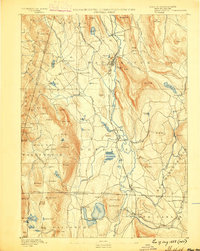
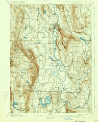
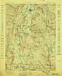
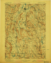
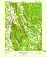
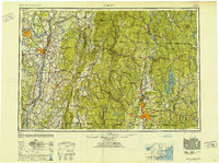
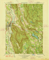
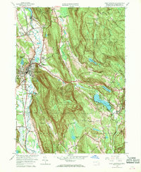
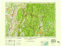
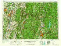
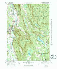
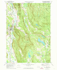
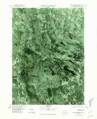
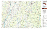
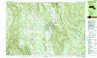
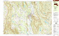
Listed on the National Register of Historic Places in 1986. 22 historic topographic surveys show this location, the earliest from 1885.
From the record
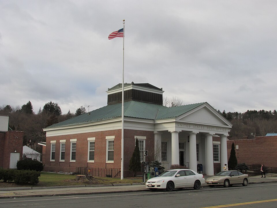
“US Post Office-Great Barrington Main is a historic post office at 222 Main Street in Great Barrington, Massachusetts. It was designed by architect Lorimer Rich and completed in 1936.”
Wikipedia article United States Post Office-Great Barrington Main, CC BY-SA 4.0.
One of 183 National Register listings published here for Berkshire County · listed in 1986 · category: Building.
National Register reference number.86000163- the number the National Park Service assigned this property when it was listed, and the key its nomination file is catalogued under at the National Archives.
Then and now
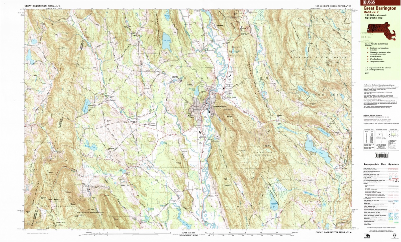
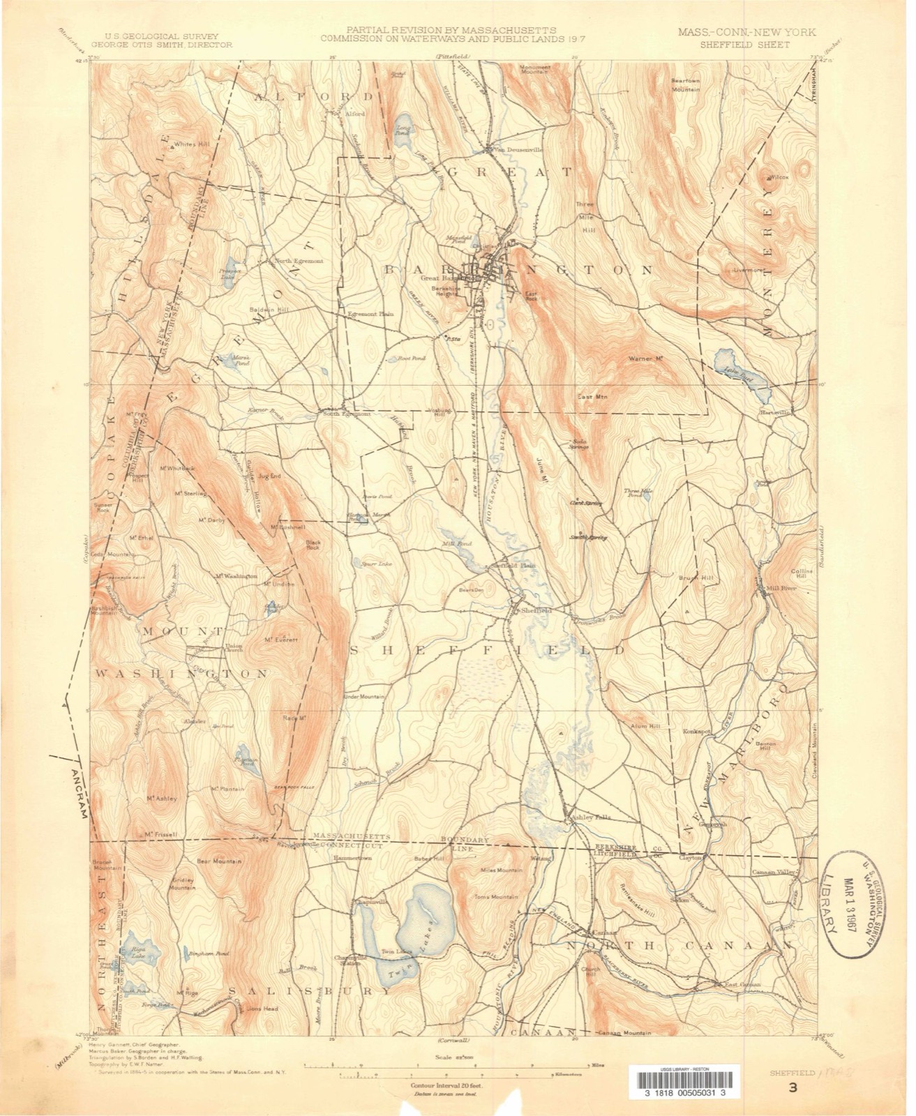
1885 to 1997
The ground this property stands on, surveyed
112 years apart. Drag the handle to wipe between them. Both sheets are
United States Geological Survey originals; neither has been altered.
18851997
Fires near this property
28 since 2015
Regional context, not property-specific
evidence. The
federal wildfire occurrence database
lists 28 fires within 5 miles of US Post Office-Great Barrington Main
between 2015 and 2020, burning about 20 acres in total. 2 started naturally. None was recorded as arson.
Distance is straight-line from the map coordinates, so a fire counted
here may appear on a neighbouring settlement's page as well.
Reported cause
Fires
Debris and open burning
19
Equipment and vehicle use
3
Natural
2
Recreation and ceremony
1
Missing data/not specified/undetermined
1
Railroad operations and maintenance
1
Smoking
1
The most recent of
them, most recent first, with the day each was reported and the service
that recorded it.
Regional context, not property-specific
evidence. Museums hold 2,417 specimens
collected within 10 miles of US Post Office-Great Barrington Main between 1833 and 1975: 1,407 Plantae, 791 Animalia, 213 Fungi, 3 Chromista, 3 Protozoa.
12 distinct Species records are shown.
Collected by A W Evans, A. Brown, A. E. Treat and others. Each is a
physical object with a catalogue
number, and each entry opens the museum's record. This is what was
collected and kept, not a survey of what lives here - nothing can be
concluded from a species being absent.
Regional context, not property-specific
evidence. The National Weather Service names
Great Barrington, the town this property stands in, in 44 storm reports between 1994 and 2023: 27 thunderstorm wind, 9 hail, 4 flash flood, 2 flood.
The reports record 3 injuries. Each account below is quoted exactly as the forecast office
filed it, from the NOAA Storm Events Database, and each date
opens the federal record of that event.
Trees and wires were reported down in Great Barrington due to strong thunderstorm winds. One downed tree and wires trapped 2 people in their vehicle, as a tree fell outside of The Country Dining Room Antiques Store on Main Street. The tree snapped in half and knocked down a utility pole on Rosseter Street, downing live power lines and falling on top of the vehicle, trapping a woman and her husband inside.||The woman sustained a broken neck, and may be permanently paralyzed.
Heavy rain led to minor flooding near Great Barrington, and also widespread ponding of water in low lying, poor drainage areas across Berkshire County. Several roads were closed in the vicinity of Lee due to flooded roadways.||In addition, the Green River near Great Barrington exceeded its flood stage of 7 feet at 6:12 AM LST, cresting at moderate stage of 10.08 feet at 11 AM LST.
Penny to golf ball size hail was reported in and near Great Barrington during a thunderstorm.||The largest hail, up to golf ball size, was reported approximately 1 mile east northeast of Great Barrington.
United States Geological Survey topographic
sheets whose coverage includes this point. Matched by taking the coordinate the National Park Service records for this property, then
testing that coordinate against the published boundary of every sheet.
When this property was proposed for the
National Register, someone wrote the case for it: what the building is,
and why it matters. That document is a federal record in the public domain.
It is quoted below word for word, never summarised. The text was read off the scanned case file by machine, so the
occasional stray character is the recogniser's and the 1970s
typewriter's.
Description of the property
rear The Main Post Office of Great Barrington occupies a half acre site along Route 41, a central artery in this rural Berkshire town. The site is located in an area of medium density with adjacent commercial properties of one and twostory structures. Primarily a one story masonry structure, the exterior red brick wall finish consists of Flemish bond coursing with marble lintels. The window openings house the original 12/12 double hung wood sashes with aluminum storm windows. A white projecting tetrastyle Tuscan portico articulates the recessed entry to the public lobby. The smooth columns, heavier than the usual proportions, support a plain frieze and pediment. The columns and pilasters are painted concrete. The pediment, entablature and cornice are painted wood.
The brick recessed entry is also painted. In the rear, a projecting canopy was constructed in 1960 over the loading platform and bays. This structure is supported, in part, by two masonry wing walls. The exterior brickwork closely resembles the coursing and materials of the original construction. A low profile hip roof covers the square building plan. Rising above the center of this construction is a large square mass that formerly contained the clerestory lights. A new standing seam metal roof now closes off the original skylight and covers the supporting roof structure in its entirety. The basement and foundation are reinforced concrete with solid slab floor. White marble wainscotting still graces the public lobby accenting the original dark terrazzo floor surface.
The wood and glass vestibule has been meticulously maintained and still retains a suggestion of Art Deco with its wood pediment and trim. The painted woodwork around the post office boxes is original. There are no other buildings or other manmade structures' on the site.
/ARCHITECT Louis A. Simon, Sup. Architect Lorimer Rich, Architect STATEMENT OF'SIGNIFICANCE D.A. Sullivan & Sons, Contractor The Great Barrington Post office Is a unique example of Merdbopgton, Massachusetts Classification System for Federal Buildings Class C Construction. Given its central location within the county seat, it could produce receipts that are equal to that of a second-class city. Therefore, the character of the building was given brick facing with stone trim, wooden doors, frames and sashes, and very simple forms of ornamentation on the interior. In June of 1934, it was dictated that the use of private architects for the design of publie buildings be curtailed and that all remaining Federal buildings be designed by the Office of the Supervising Architect.
Consequently, this Post Office was produced during a time when standard plans were used to minimize the number of individual drawings and encourage swift project completion. Working with a standard floor plan, Lorimer Rich, a private Architect, utilized the wide latitude left for architectural innovation and produced this somewhat unusual design for the mid 1930's. It was constructed in 1936 by D. A. Sullivan & Sons. The main facade, with its unusual Tuscan pillars, suggests a Center Revival Temple front that remains in complete accord with the Colonial and Classical Revival buildings in the surrounding community. The Great Barrington township, located in southwestern Berkshire County, is one of the largest townships in Western Massachusetts in both area and population.
The Housatonic River flowing north to south through the center of the township brought a number of mills of various types to the area. Two stages once passed daily from Hartford, Connecticut to Albany, New York, through the center of Great Barrington. In the 1840's, the railroad was completed which expedited and increased passenger, freight, and mail service.
Quoted from the National Register nomination
for reference 86000163, 15 pages, held by the National Archives in Record
Group 79. See the
catalogue record.
Listed places nearby
6 within 8 miles
Other National Register properties close
enough to walk or drive between, ordered by distance from this one. Both
positions come from the same geocoding pass that matched these properties
to their map sheets.
Listing record. National Park Service National Register of Historic Places, listed-properties dataset, current to 2026-05-22.
Map join. Address geocoded through the United States Census geocoder, then tested against the published boundary of every sheet in the USGS Historical Topographic Map Collection.
How this page is made. Listing fields come from federal records; map-sheet coverage is a labelled coordinate-to-boundary calculation, not a source-field claim.
Wildfire. Short, Karen C. 2022. Spatial wildfire occurrence data for the United States, 1992-2020 [FPA_FOD_20221014]. 6th Edition. Fort Collins, CO: Forest Service Research Data Archive. https://doi.org/10.2737/RDS-2013-0009.6 Collected with United States Government funding and usable without additional permissions or fees.
Specimens. Global Biodiversity Information Facility (GBIF), https://www.gbif.org/. Only records licensed CC0 or CC BY are used. Records licensed CC BY-NC are excluded because this site carries advertising. Images are checked individually and any whose licence is non-commercial, no-derivatives or unreadable is refused.
Storms. NOAA National Centers for Environmental Information, Storm Events Database https://www.ncei.noaa.gov/stormevents/ A work of the United States government, no copyright under 17 U.S.C. 105. Narratives are quoted verbatim from the National Weather Service report and are not edited or summarised.
 Block