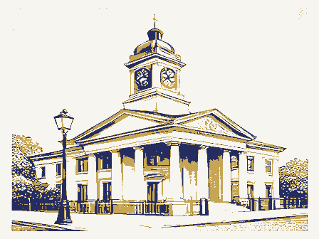
Listed on the National Register of Historic Places in
1986. A historic map-sheet match is not published yet. The record needs a coordinate-quality review before it can be joined to a sheet boundary.
From the record
one of 338 National Register listings in Cuyahoga County · listed in 1986 · category: Building · one of 3 National Historic Landmarks in Cuyahoga County.
National Register reference number.86001058- the number the National Park Service assigned this property when it was listed, and the key its nomination file is catalogued under at the National Archives.
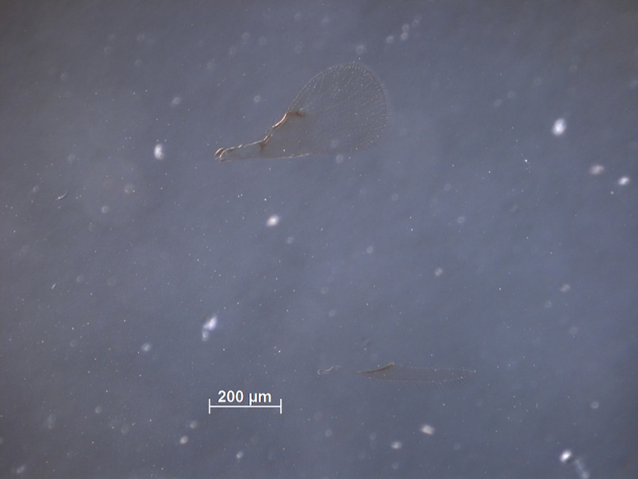
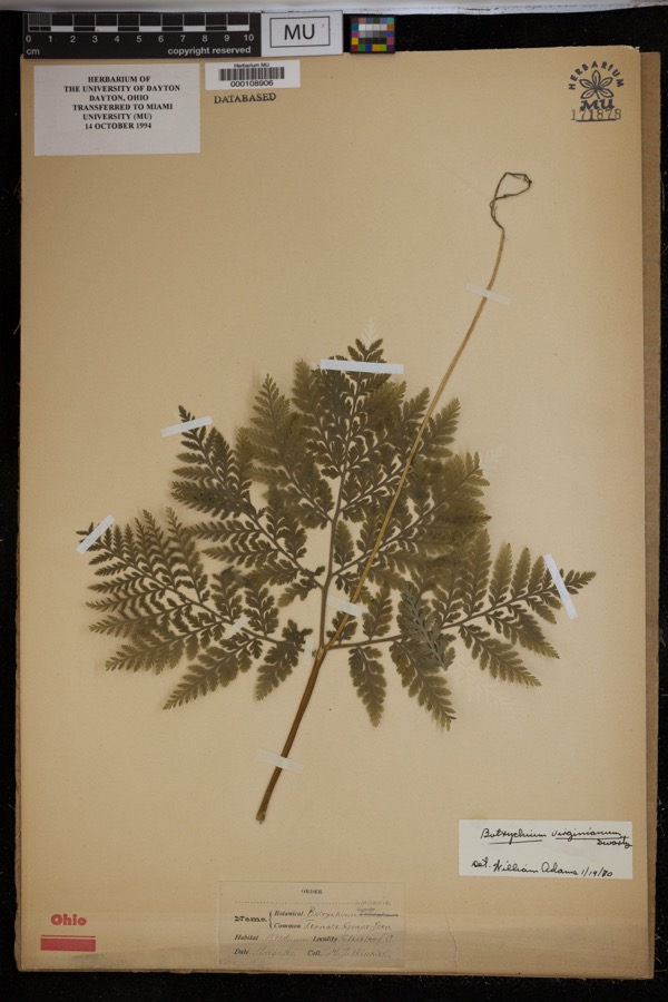
Specimens collected near this property
12 of 4,336 shown
Regional context, not property-specific
evidence. Museums hold 4,336 specimens
collected within 10 miles of Heights Rockfeller Building between 1850 and
1975: 3,902 Animalia, 220 Fungi, 133 Plantae, 74 Protozoa, 5 Unrecorded, 1 Chromista, 1 incertae sedis. 12 distinct Species records are shown.
Collected by A. D. Huryn, A. D. Selby, A. Hall and others. Each is a
physical object with a catalogue
number, and each entry opens the museum's record. This is what was
collected and kept, not a survey of what lives here - nothing can be
concluded from a species being absent.
Regional context, not property-specific
evidence. The federal mineral resources record lists
2 workings within 5 miles of Heights Rockfeller Building: 2 unknowns.
None of them still produces. What was taken out: Tungsten, Zirconium, Zinc, Tungsten, Molybdenum. Distance is straight-line from the
map coordinates, so a quarry counted here may appear on a neighbouring
settlement's page as well.
Regional context, not property-specific
evidence. The National Weather Service names
Cleveland Heights, the town this property stands in, in 1 storm report between 1996 and 1996: 1 thunderstorm wind.
No death or injury is recorded in these reports. Each account below is quoted exactly as the forecast office
filed it, from the NOAA Storm Events Database, and each date
opens the federal record of that event.
No historic map-sheet match is published
for this property yet. That does not mean no map exists. This record needs
a coordinate-quality review before it can be joined to a sheet boundary.
Browse the county's mapped places while that work is
pending.
From the nomination file
2,749 words on record
When this property was proposed for the
National Register, someone wrote the case for it: what the building is,
and why it matters. That document is a federal record in the public domain.
It is quoted below word for word, never summarised. The text was read off the scanned case file by machine, so the
occasional stray character is the recogniser's and the 1970s
typewriter's.
Description of the property
The building contains shops at ground level, and apartments and oftices the Bolton-Lee corner of the building, which contains the apartment 1s oi concrete, brick, and tile construction, and has a Iull basement with A paved parking area 250 feet long and 50 feet wide, located between the Of particular merit inside is the original second-floor bank, reached by 7. Description Condition entrance. date unexposed fair concrete block foundation.There are metal casement windows throughout.
The Heights Rockefeller Building is located at a busy commercial cross- The Heights Rockefeller Building is a large J-shaped structure located apartments remain virtually unaltered while many of the offices have concealed behind hipped parapets of slate; skylights admit light and air a hipped roof of slate, and hipped-roof dormers. contained in a recessed Tudor arch of sandstone. signage on the Mayfield Road wing was added later. incorporate brick laid in English bond, tapestry brick with oak half- fireplace, and virtually all of its original furnishings, including Check one northeast corner of the parcel is a brick 15-car garage with caretaker's been remodeled, as has the main lobby.
to hallways and the apartments of the Lee Road wing) bathrooms.Pro- Road,70 on Bolton Road, and two 39-foot diagonal sections at the corners. _ruins and setback, giving it the appearance of a Norman village. beamed ceilings, iron chandeliers, oak woodwork, banking tables with their slag-glass lamps. Elsewhere inside, the deteriorated great visual variety.
(in one paragraph) Built in 1930 by John D. Rockefeller, Jr., the Heights Rockefeller Building development, located on the site of his family's longtime summer home. and apartment houses were also envisioned, all in the French Norman style. by the original tenant, is particularly notable. Corporation under the direction of John D. Rockefeller, Jr. (1874-1960). Euclid Avenue in East Cleveland and gradually added to it until he had days at Forest Hill, where he developed his lifelong love of nature. ownership of the Forest Hill estate was conveyed to the younger Rockefeller.
communications 1600-1699 1400-1499 1500-1599 History 1800-1899 1700-1799 commerce education philosophy industry invention engineering literature music science theater Period -politics/government prehistoric law humanitarian sculpture summer home. archeology-historic 8.
Significance Specific dates 1930 Xarchitecture Jr.'s generous support of conservation projects stemmed from his boyhood is significant for its association with an unusual chapter in the develop- It stands on a portion of Forest Hill, the Rockefeller family's longtime acquired several hundreds of acres stretching from East Cleveland into in New York in 1884,he returned with his family to Cleveland every spring ment of suburban Cleveland and because it represents one period's vision -agriculture In 1873 John D.Rockefeller, Sr.purchased a large tract of land bordering 1965),Rockefeller undertook a large housing project on that portion of the Forest Hill houses, which are not included in this nomination.) (Note:The Heights Rockefeller Building is geographically separate from military "community store building"were built before the project was abandoned as Designed by New York architect Andrew J.Thomas, Forest Hill was conceived In the late 1920s, in collaboration with architect Andrew J.
Quoted from the National Register nomination
for reference 86001058, 21 pages, held by the National Archives in Record
Group 79. See the
catalogue record.
Listed places nearby
6 within 8 miles
Other National Register properties close
enough to walk or drive between, ordered by distance from this one. Both
positions come from the same geocoding pass that matched these properties
to their map sheets.
Listing record. National Park Service National Register of Historic Places, listed-properties dataset, current to 2026-05-22.
Map join. Address geocoded through the United States Census geocoder, then tested against the published boundary of every sheet in the USGS Historical Topographic Map Collection.
How this page is made. Listing fields come from federal records; map-sheet coverage is a labelled coordinate-to-boundary calculation, not a source-field claim.
Specimens. Global Biodiversity Information Facility (GBIF), https://www.gbif.org/. Only records licensed CC0 or CC BY are used. Records licensed CC BY-NC are excluded because this site carries advertising. Images are checked individually and any whose licence is non-commercial, no-derivatives or unreadable is refused.
Mines and quarries. USGS Mineral Resources Data System (MRDS) https://mrdata.usgs.gov/mrds/ A work of the United States government, no copyright under 17 U.S.C. 105.
Storms. NOAA National Centers for Environmental Information, Storm Events Database https://www.ncei.noaa.gov/stormevents/ A work of the United States government, no copyright under 17 U.S.C. 105. Narratives are quoted verbatim from the National Weather Service report and are not edited or summarised.
 Block
Block