Listed on the National Register of Historic Places in
1984. A historic map-sheet match is not published yet. The record needs a coordinate-quality review before it can be joined to a sheet boundary.
From the record
one of 338 National Register listings in Cuyahoga County · listed in 1984 · category: Building · one of 3 National Historic Landmarks in Cuyahoga County.
National Register reference number.84003653- the number the National Park Service assigned this property when it was listed, and the key its nomination file is catalogued under at the National Archives.
Specimens collected near this property
12 of 4,326 shown
Regional context, not property-specific
evidence. Museums hold 4,326 specimens
collected within 10 miles of Temple on the Heights between 1850 and
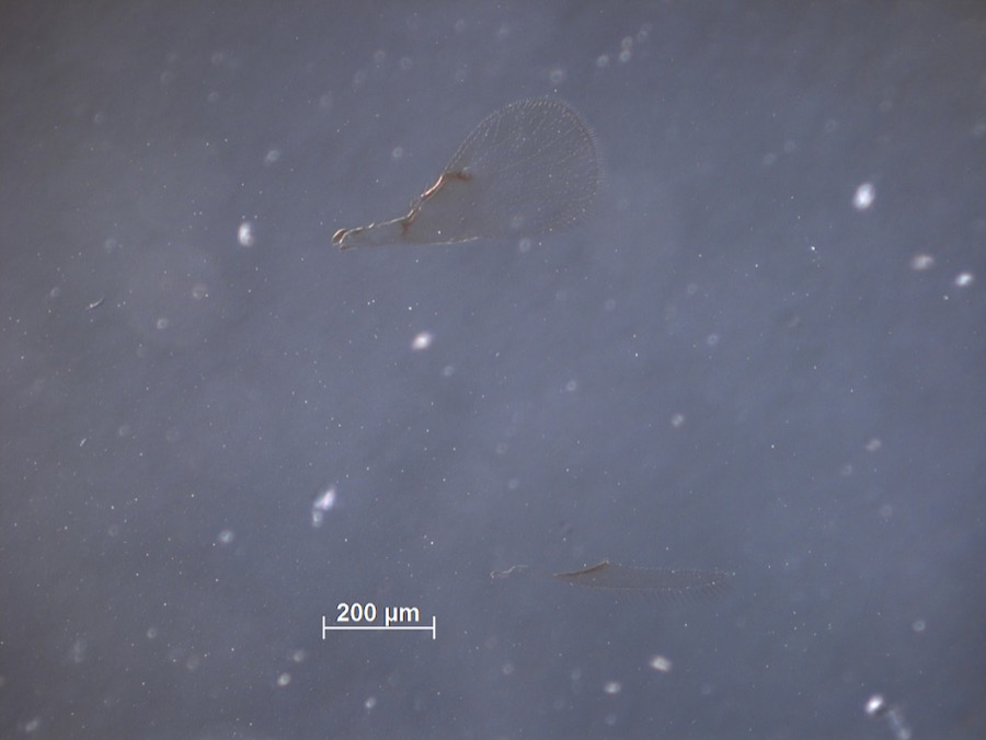
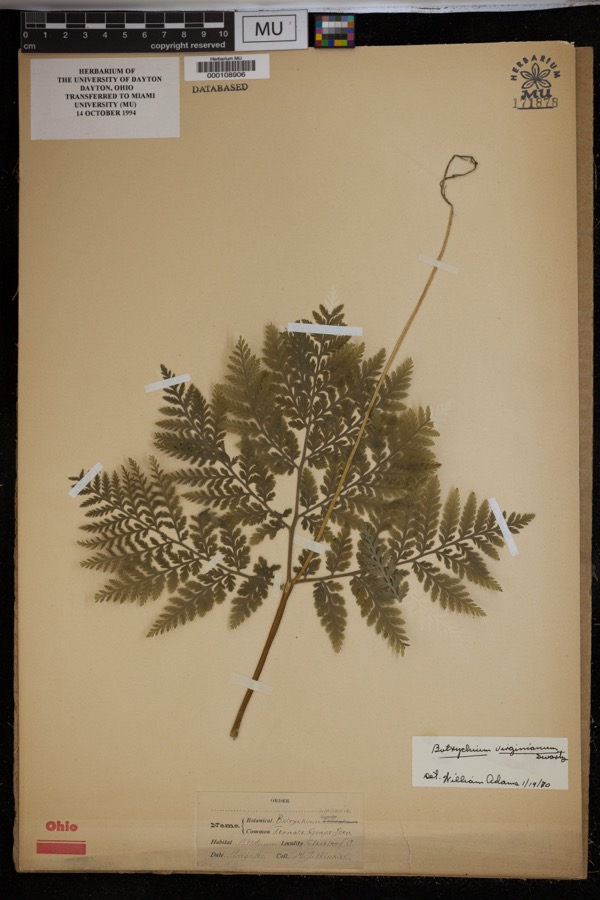
1975: 3,891 Animalia, 221 Fungi, 133 Plantae, 74 Protozoa, 5 Unrecorded, 1 Chromista, 1 incertae sedis. 12 distinct Species records are shown.
Collected by A. D. Huryn, A. D. Selby, A. Hall and others. Each is a
physical object with a catalogue
number, and each entry opens the museum's record. This is what was
collected and kept, not a survey of what lives here - nothing can be
concluded from a species being absent.
Regional context, not property-specific
evidence. The federal mineral resources record lists
2 workings within 5 miles of Temple on the Heights: 2 unknowns.
None of them still produces. What was taken out: Tungsten, Zirconium, Zinc, Tungsten, Molybdenum. Distance is straight-line from the
map coordinates, so a quarry counted here may appear on a neighbouring
settlement's page as well.
Regional context, not property-specific
evidence. The National Weather Service names
Cleveland Heights, the town this property stands in, in 1 storm report between 1996 and 1996: 1 thunderstorm wind.
No death or injury is recorded in these reports. Each account below is quoted exactly as the forecast office
filed it, from the NOAA Storm Events Database, and each date
opens the federal record of that event.
No historic map-sheet match is published
for this property yet. That does not mean no map exists. This record needs
a coordinate-quality review before it can be joined to a sheet boundary.
Browse the county's mapped places while that work is
pending.
From the nomination file
2,020 words on record
When this property was proposed for the
National Register, someone wrote the case for it: what the building is,
and why it matters. That document is a federal record in the public domain.
It is quoted below word for word, never summarised. The text was read off the scanned case file by machine, so the
occasional stray character is the recogniser's and the 1970s
typewriter's.
Description of the property
and it is three blocks away from the historic center of Cleveland Heights, now the site of 7. Description development planned by John D.Rockefeller, Jr. on the former Rockefeller estate, Forest Hill; at the second story level.
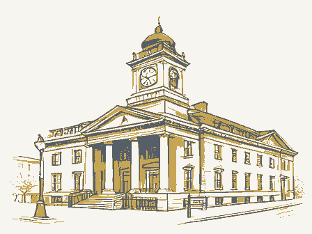
a small chapel (now a theatre),classrooms, offices and two kitchens in its 110,0o0 square -fair X altered - good date Each segment of the main dome features a pair of arched windows with Above the arcaded loggia is a pedimented gable with circles and tablet enrichment.A band The front portico features an arcaded two and a half story entry loggia with five arched arcaded windows in ribbon courses, and features single-arched windows with polychrone surrounds an arcaded stone cornice.At the center of the pediment is a round window featuring the The building is situated on Mayfield Road, historically the main artery of the heights way of providing the city with a privately owned and maintained civic center, and of preserv- facades are unenriched for the most part, and feature simple fenestration and utilitarian The pedimented element is flanked by front-facing gabled blocks with small Once a synagogue, the structure houses a main sanctuary with a domed rotunda 4 and 5) The street facade of the original structure (1925-27) is asymmetrical.The east wing This marketing concept has been encouraged by the City of Cleveland Heights as a feet of space.It was sold in 1980 by its original owners, the B'nai Jeshurun Congregation, or concrete courses.
west wing has some of the same features, modified, including a two-story, twelve- to a limited partnership of 40 investors who have begun to market it as The Civic, a multi- Star of David. - landscape architecture_X religion - archeology-historic - agriculture .sculpture .
(in one paragraph) 1900,42.9%were either foreign born or had one foreign born parent) forestalled Sampliner, Lerner and Weil. Criteria A and C science -art - archeology-prehistoric - community planning Specific dates 1924-27; 1956-59 pered.
radical religious and liturgical movement from Orthodoxy to Reformism by 19th century consecutively by Cleveland Jews as their neighborhoods moved eastward over a period of 100 The congregations hired the hood of 25th Street and Scovill.By the time B'nai Jeshurun was itself prepared to build The structure is the third synagogue of the Conservative Congregation B'nai Jeshurun--and in that the evolution of Cleveland's Jewish congregations took two tacks.T Cleveland Jews' continued movement eastward and out of the city occurred not because of itself into two Orthodox congregations, Anshe Chesed and Tefereth Israel.In 1866 the congregation represented, on the one hand, the only available haven for later Orthodox Eagle Street Temple) from Anshe Chesed, who built another in the new Jewish neighbor- then Tefereth Israel had also decided to build a new temple.
cided with two developments. By then, Cleveland Heights had a Jewish population of 5000 "gang of ward healers in a fashion typical of immigrant neighborhoods everywhere. The first two (out of 15,ooo), and had become the second largest Jewish section in the area.And by 9.
Quoted from the National Register nomination
for reference 84003653, 14 pages, held by the National Archives in Record
Group 79. See the
catalogue record.
Listed places nearby
6 within 8 miles
Other National Register properties close
enough to walk or drive between, ordered by distance from this one. Both
positions come from the same geocoding pass that matched these properties
to their map sheets.
Listing record. National Park Service National Register of Historic Places, listed-properties dataset, current to 2026-05-22.
Map join. Address geocoded through the United States Census geocoder, then tested against the published boundary of every sheet in the USGS Historical Topographic Map Collection.
How this page is made. Listing fields come from federal records; map-sheet coverage is a labelled coordinate-to-boundary calculation, not a source-field claim.
Specimens. Global Biodiversity Information Facility (GBIF), https://www.gbif.org/. Only records licensed CC0 or CC BY are used. Records licensed CC BY-NC are excluded because this site carries advertising. Images are checked individually and any whose licence is non-commercial, no-derivatives or unreadable is refused.
Mines and quarries. USGS Mineral Resources Data System (MRDS) https://mrdata.usgs.gov/mrds/ A work of the United States government, no copyright under 17 U.S.C. 105.
Storms. NOAA National Centers for Environmental Information, Storm Events Database https://www.ncei.noaa.gov/stormevents/ A work of the United States government, no copyright under 17 U.S.C. 105. Narratives are quoted verbatim from the National Weather Service report and are not edited or summarised.
 Block
Block