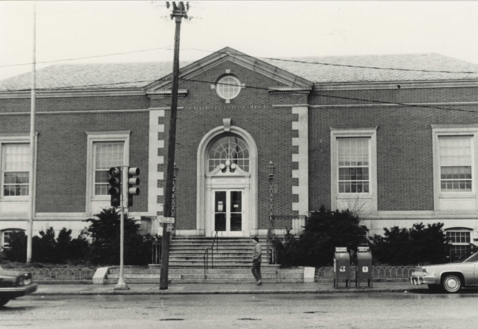
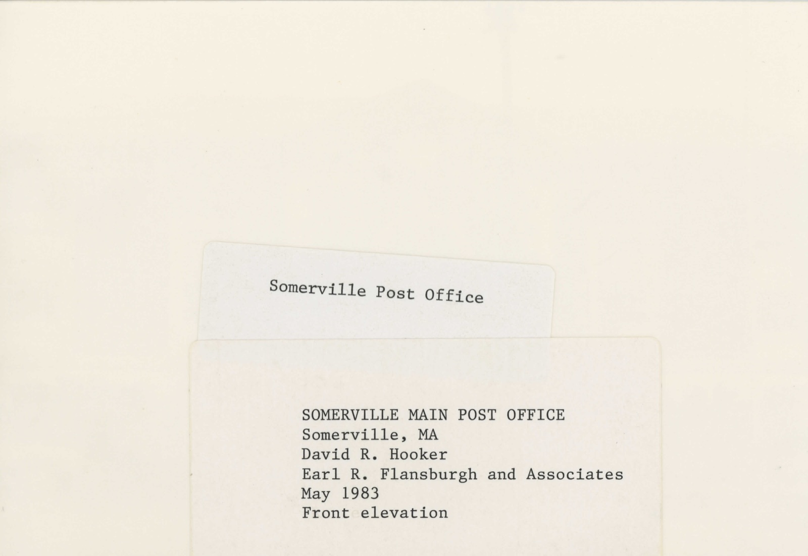
Photographs from the nomination case file, National Park Service records.
US Post Office--Somerville Main
Listed on the National Register of Historic Places in
1986. A historic map-sheet match is not published yet. The record needs a coordinate-quality review before it can be joined to a sheet boundary.
From the record
“The citizens now began to awaken to a sense of the importance of this appendage of Charlestown. They felt that their territory was neglected by the town government, and their wishes disregarded; that they were taxed for supporting institutions, and making improvements in the benefits of which they did not participate, and that they did not receive returns at all commensurate with the amount of money they contributed.”
History of Middlesex County, Massachusetts : Containing Carefully Prepared Histories of Every City and Town in the County (1880). Machine-read text.
one of 1100 National Register listings in Middlesex County · listed in 1986 · category: Building · one of 3 National Historic Landmarks in Middlesex County.
National Register reference number.86001247- the number the National Park Service assigned this property when it was listed, and the key its nomination file is catalogued under at the National Archives.
The surface is uneven, and rises into no less than eight considerable elevations, of which Prospect, Winter, Spring, and Central hills, and Mount Benedict are the principal. The soil is various, and in many places excellent for cultivation. Good sand for building purposes is abundant, and a vein of clay, suitable for brickmaking, underlies much of the surface. The only stratified rock to be found in Somerville is slate. The intrusive rocks, cropping out in numerous ledges, in which occur an unusual variety of minerals, are entirely diabase. The formation is particularly rich in dikes.
At the founding of Charlestown in 1628, and for the first ten years, the area of the peninsula generally sufficed for the wants of the settlers; but when, in 1637, land became so scarce within the neck tiiat new-comers were rarely granted more than a citizensliip, purchases were made of the Indians, and settlements began to extend upon the mainland. Tiie territory north and east of the Charles River was then owned by the Pawtucket Indians ; and by payment of thirty-six shillings in 16-37, and twenty-one coats, nineteen fathoms of wampum, and three bushels of corn, two years later to Squa Sachem and Webcowit, rulers of the tribe, the latter were well satisfied to relinquish to the town of Charlestown all the territory that is now Somerville. A few settlers had established themselves on the mainland from the earliest period.
Regional context, not property-specific
evidence. The
federal wildfire occurrence database
lists 78 fires within 5 miles of US Post Office--Somerville Main between
2015 and 2020, burning about 106 acres in total. None started naturally. 28 were recorded as arson.
Distance is straight-line from the map coordinates, so a fire counted
here may appear on a neighbouring settlement's page as well.
Reported cause
Fires
Arson/incendiarism
28
Missing data/not specified/undetermined
20
Recreation and ceremony
11
Debris and open burning
11
Smoking
6
Equipment and vehicle use
1
Misuse of fire by a minor
1
The most recent of
them, most recent first, with the day each was reported and the service
that recorded it.
Regional context, not property-specific
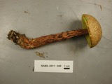
evidence. Museums hold 1,913 specimens
collected within 10 miles of US Post Office--Somerville Main between 1898 and
1975: 832 Animalia, 580 Plantae, 437 Fungi, 27 Protozoa, 17 Bacteria, 12 Chromista, 8 Unrecorded. 12 distinct Species records are shown.
Collected by ?, A B Seymour, A B. Proper and others. Each is a
physical object with a catalogue
number, and each entry opens the museum's record. This is what was
collected and kept, not a survey of what lives here - nothing can be
concluded from a species being absent.
Regional context, not property-specific
evidence. The federal mineral resources record lists
12 workings within 5 miles of US Post Office--Somerville Main: 9 plants, 2 past producers, 1 producer.
10 still produce. What was taken out: Iron, Lead, Gypsum-Anhydrite, Sand and Gravel, Construction. Distance is straight-line from the
map coordinates, so a quarry counted here may appear on a neighbouring
settlement's page as well.
Regional context, not property-specific
evidence. The National Weather Service names
Somerville, the town this property stands in, in 7 storm reports between 2006 and 2021: 5 thunderstorm wind, 2 flood.
No death or injury is recorded in these reports. Each account below is quoted exactly as the forecast office
filed it, from the NOAA Storm Events Database, and each date
opens the federal record of that event.
Water flooded Medford Street up to the roof of a vehicle. Two vehicles were stuck in flood waters on Medford Street. In addition, a large sinkhole opened up as a result of the flooding. This resulted in the street closing through Wednesday, December 10 while crews figured out how to repair the sinkhole.
No historic map-sheet match is published
for this property yet. That does not mean no map exists. This record needs
a coordinate-quality review before it can be joined to a sheet boundary.
Browse the county's mapped places while that work is
pending.
From the nomination file
2,871 words on record
When this property was proposed for the
National Register, someone wrote the case for it: what the building is,
and why it matters. That document is a federal record in the public domain.
It is quoted below word for word, never summarised. The text was read off the scanned case file by machine, so the
occasional stray character is the recogniser's and the 1970s
typewriter's.
Description of the property
DATE_ _PHYSICAL APPEARANCE_ The building and its grounds are in very good condition, with the exception of the construction involved in front of it. The Post Office occupies most of the site, leaving a small vehicle manuevering area to its rear, with access on Bonner Avenue. The site is landscaped with lawn, shrubs, and several small trees. The building is of steel construction with a brick exterior laid in a Flemish bond. In plan, a small vestibule has side entrances to stairs leading to a public lobby flanked by the Postmaster's office to the right and workroom space to the left. Behind the service screen is the workroom with the mail vestibule and platform in the rear.
Three wide granite stairs leading to eight smaller steps, with wrought-iron railings and bronze lamps on Newel posts, create the main approach. The front (south) elevation is a five-bay structure with a projecting one-bay entrance portion. The building features a granite base, brick entablature, and limestone quoins, denticulated cornice, and detailing. The windows are double-hung with wood sash, 15/15 light with 1imestone architrave, projecting dentils, and infill coffered panel below. The entry features a limestone arch with shaped keystone and inset fanlight. The replacement aluminum and glass doors are framed by fluted wood pilasters that support a simple entablature below a broken pediment with full rosettes and finial.
Above is a simple limestone cyma reversa and recta marking the brick entablature. This section is topped by a small gable roof reaching back to the building's hipped slate roof, leaving a brick pediment with denticulated molding and a centered oculus window with limestone keystone repeated every ninty degrees. Within the base are small arched openings containing windows for basement level government offices.
Edmund J. Rappoli, Contractor Built in 1935-1936, The Somerville Main Post Office building is located at the foot of Prospect Hill. Along with the nearby police and fire stations, it ranks among the more architecturally distinguished buildings in Union Square, an area dominated by buildings with 20th century commercial treatments. Architecturally this structure is significant as a reflection of 1930's Public Works Administration (P.W.A.) policies in post office construction and design. The P.W.A. endeavored to "provide modest, practical post offices instead of monumental edifices." Its compact, boxy form, brick materials, minimal ornamentation and 7-area plan are features of more efficient and standardized post oftice building design.
That the Colonial Revival style rather than the more frequently used Classical Revival style was chosen for this building's design probably represents an historical reference to a Revolutionary War skirmish that occurred near this site. In an effort to bolster the local economy, local brick rather than an expensive imported stone was chosen for their buildings facing. The marshland and sandy soils of the Union Square area yielded a fine grade Silica. During the 19th century clay pits were dug throughout the area and brickyards ranked among the largest mid 19th century industries near Union Square - by the 1930's only a few brickyards were still in existence in Somerville.
Overtime the Somerville Main Post Office's site has been associated with community focal points such as the Prospect Hill School, the Somerville Boys' Club and a branch of the Somerville Library. Congressman Arthur D. Healy is credited with securing funds to build the Somerville Main Post Office building. He endeavored to replace inadequate facilities which handled mail to Medford as well as Somerville. Healy was also responsi- ble for obtaining a separate post office for Medford in 1936/37.
Quoted from the National Register nomination
for reference 86001247, 19 pages, held by the National Archives in Record
Group 79. See the
catalogue record.
Listed places nearby
6 within 8 miles
Other National Register properties close
enough to walk or drive between, ordered by distance from this one. Both
positions come from the same geocoding pass that matched these properties
to their map sheets.
Listing record. National Park Service National Register of Historic Places, listed-properties dataset, current to 2026-05-22.
Map join. Address geocoded through the United States Census geocoder, then tested against the published boundary of every sheet in the USGS Historical Topographic Map Collection.
How this page is made. Listing fields come from federal records; map-sheet coverage is a labelled coordinate-to-boundary calculation, not a source-field claim.
Wildfire. Short, Karen C. 2022. Spatial wildfire occurrence data for the United States, 1992-2020 [FPA_FOD_20221014]. 6th Edition. Fort Collins, CO: Forest Service Research Data Archive. https://doi.org/10.2737/RDS-2013-0009.6 Collected with United States Government funding and usable without additional permissions or fees.
Specimens. Global Biodiversity Information Facility (GBIF), https://www.gbif.org/. Only records licensed CC0 or CC BY are used. Records licensed CC BY-NC are excluded because this site carries advertising. Images are checked individually and any whose licence is non-commercial, no-derivatives or unreadable is refused.
Mines and quarries. USGS Mineral Resources Data System (MRDS) https://mrdata.usgs.gov/mrds/ A work of the United States government, no copyright under 17 U.S.C. 105.
Storms. NOAA National Centers for Environmental Information, Storm Events Database https://www.ncei.noaa.gov/stormevents/ A work of the United States government, no copyright under 17 U.S.C. 105. Narratives are quoted verbatim from the National Weather Service report and are not edited or summarised.
 Block
Block