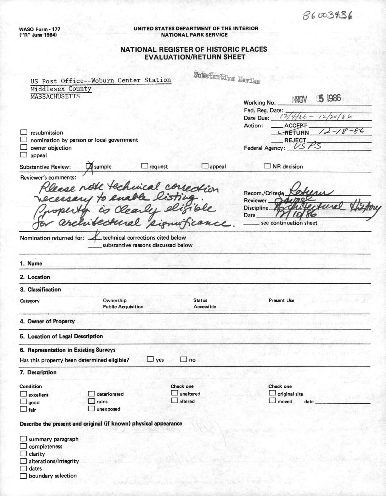
Photographs from the nomination case file, National Park Service records.
US Post Office--Woburn Center Station
Listed on the National Register of Historic Places in
1987. A historic map-sheet match is not published yet. The record needs a coordinate-quality review before it can be joined to a sheet boundary.
From the record
one of 1100 National Register listings in Middlesex County · listed in 1987 · category: Building · one of 3 National Historic Landmarks in Middlesex County.
National Register reference number.86003436- the number the National Park Service assigned this property when it was listed, and the key its nomination file is catalogued under at the National Archives.
Regional context, not property-specific
evidence. The
federal wildfire occurrence database
lists 91 fires within 5 miles of US Post Office--Woburn Center Station between
2003 and 2020, burning about 107 acres in total. None started naturally. 29 were recorded as arson.
Distance is straight-line from the map coordinates, so a fire counted
here may appear on a neighbouring settlement's page as well.
Reported cause
Fires
Arson/incendiarism
29
Missing data/not specified/undetermined
17
Recreation and ceremony
16
Debris and open burning
15
Smoking
6
Misuse of fire by a minor
4
Power generation/transmission/distribution
2
Equipment and vehicle use
2
The most recent of
them, most recent first, with the day each was reported and the service
that recorded it.
Regional context, not property-specific
evidence. Museums hold 1,171 specimens
collected within 10 miles of US Post Office--Woburn Center Station between 1898 and
1975: 475 Animalia, 408 Plantae, 253 Fungi, 17 Bacteria, 8 Unrecorded, 5 Chromista, 5 Protozoa. 12 distinct Species records are shown.
Collected by ?, A B Seymour, A B. Proper and others. Each is a
physical object with a catalogue
number, and each entry opens the museum's record. This is what was
collected and kept, not a survey of what lives here - nothing can be
concluded from a species being absent.
Regional context, not property-specific
evidence. The federal mineral resources record lists
14 workings within 5 miles of US Post Office--Woburn Center Station: 5 past producers, 5 producers, 3 plants, 1 unknown.
8 still produce. What was taken out: Stone, Crushed/Broken, Silica, Peat, Clay. Distance is straight-line from the
map coordinates, so a quarry counted here may appear on a neighbouring
settlement's page as well.
Regional context, not property-specific
evidence. The National Weather Service names
Woburn, the town this property stands in, in 14 storm reports between 1996 and 2025: 6 thunderstorm wind, 3 hail, 2 flash flood, 2 flood.
No death or injury is recorded in these reports. Each account below is quoted exactly as the forecast office
filed it, from the NOAA Storm Events Database, and each date
opens the federal record of that event.
Large trees and power lines were downed by thunderstorm winds, causing several road closures. Wires were downed on a roof on Conn Street. A phone pole on Marlboro Road was downed by thunderstorm winds.
Heavy rain associated with Tropical Storm Hanna ranged from 2.28 inches to 3.64 inches. This resulted in flooding of the Woburn Police Department garage. Newspapers reported that as many as ten vehicles were towed from flood waters on Route 9 under the 126 overpass. This is a frequent problem in Framingham when it rains.
No historic map-sheet match is published
for this property yet. That does not mean no map exists. This record needs
a coordinate-quality review before it can be joined to a sheet boundary.
Browse the county's mapped places while that work is
pending.
From the nomination file
4,973 words on record
When this property was proposed for the
National Register, someone wrote the case for it: what the building is,
and why it matters. That document is a federal record in the public domain.
It is quoted below word for word, never summarised. The text was read off the scanned case file by machine, so the
occasional stray character is the recogniser's and the 1970s
typewriter's.
Description of the property
Constructed in 1911, the Woburn Post Office was sited on the northern perimeter of Woburn Common and faced the Old City Hall, razed in 1931 for the construction of the new city government offices. The Post Office was also placed adjacent to the Lowell Branch of the Boston and Maine Railroad, since removed to satisfy the needs of city parking. The public Library, a Richardsonian Romanesque ediface listed in the National Register in 1976, several colonial churches and wood framed homesteads also ringed the loosely formed Common at that time. Unfortunately, the open area immediately in front of the Post Office was privately owned and built upon in the 1950's, blocking the view of, and separating the Post Office from the frontage on the Common.
Several commercial banks and a new courthouse have since been built around the Common. The Woburn Post Office is of formal Neo-Classic design, with a nine bay front entrance facade featuring a projected, center entrance bay. The entrance is flanked by Doric columns supporting a stern, flat entablature carrying a minute pediment. All cut facade details are very straightforward and simple, but unified into a singular bold statement. The finely striated sandstone veneer of all facades rests on a shaped watertable of the same material, supported by a granite veneered foundation. Each delineated transomed window bay is interrupted by a fine frieze which runs continually under the cut blind panels located over each window.
cornice enhanced with an ornate and fully ballustraded cap parapet that provides an aesthetic and visual barrier against the low sloped, standing seam roof. The sandstone chimney is centered on the flat termination roof in the form of a functional cupola.
BUILDER/ARCHITECT James Knox Taylor, Sup. Arch't. Louis A. Simon/W.G. No11 Dedicated in 1912, the Woburn Post Office possesses integrity of location, .design, setting, materials and workmanship as well as significant association with the development of the Woburn Commons section of the city. Additionally, it exemplifies the high standard set by Treasury Architect Taylor and his return of governmental buildings to the classical interpretation and design. It is also significant locally for the symbolic power and dignity of the Federal Presence. Woburn Post Office meets the National Register criteria A and C. The City of Woburn was founded in 1642, becoming the twenty-ninth town of the combined Plymouth and Massachusetts Bay Colonies, and opted for City Government in 1889.
Situated one day's ride on the stage route between Boston and Amherst, New Hampshire, this locale gained importance as an overnight stage stop and, with the passing of the Congressional Act of March 3, 1797 creating a mail stage route on that line, the first Postmaster, Icabod Parker, was commissioned on October 3, 1797. Mr. Parker also operated Fowles Tavern, the stage stop, and conducted post office business in a corner of the main tavern room. In 1803, with the opening of the Middlesex Canal, this agricultural community on the Aberjona River grew to become a primary leather and tanning center in Massachusetts.
By the time the Canal closed in 1853, due in large part do the advent of the railroads, the Post Office had moved some six times, at the discretion of the six appointed Post- masters during those fifty years, and was to move three more times prior to the construction of the present Post Office in 1911.
Quoted from the National Register nomination
for reference 86003436, 24 pages, held by the National Archives in Record
Group 79. See the
catalogue record.
Listed places nearby
6 within 8 miles
Other National Register properties close
enough to walk or drive between, ordered by distance from this one. Both
positions come from the same geocoding pass that matched these properties
to their map sheets.
Listing record. National Park Service National Register of Historic Places, listed-properties dataset, current to 2026-05-22.
Map join. Address geocoded through the United States Census geocoder, then tested against the published boundary of every sheet in the USGS Historical Topographic Map Collection.
How this page is made. Listing fields come from federal records; map-sheet coverage is a labelled coordinate-to-boundary calculation, not a source-field claim.
Wildfire. Short, Karen C. 2022. Spatial wildfire occurrence data for the United States, 1992-2020 [FPA_FOD_20221014]. 6th Edition. Fort Collins, CO: Forest Service Research Data Archive. https://doi.org/10.2737/RDS-2013-0009.6 Collected with United States Government funding and usable without additional permissions or fees.
Specimens. Global Biodiversity Information Facility (GBIF), https://www.gbif.org/. Only records licensed CC0 or CC BY are used. Records licensed CC BY-NC are excluded because this site carries advertising. Images are checked individually and any whose licence is non-commercial, no-derivatives or unreadable is refused.
Mines and quarries. USGS Mineral Resources Data System (MRDS) https://mrdata.usgs.gov/mrds/ A work of the United States government, no copyright under 17 U.S.C. 105.
Storms. NOAA National Centers for Environmental Information, Storm Events Database https://www.ncei.noaa.gov/stormevents/ A work of the United States government, no copyright under 17 U.S.C. 105. Narratives are quoted verbatim from the National Weather Service report and are not edited or summarised.
 Block
Block