Block
BlockFrom the record
One of 15 National Register listings published here for Fayette County · listed in 1987 · category: Building.
Sources: the case file at the National Archives · the National Register database, National Park Service
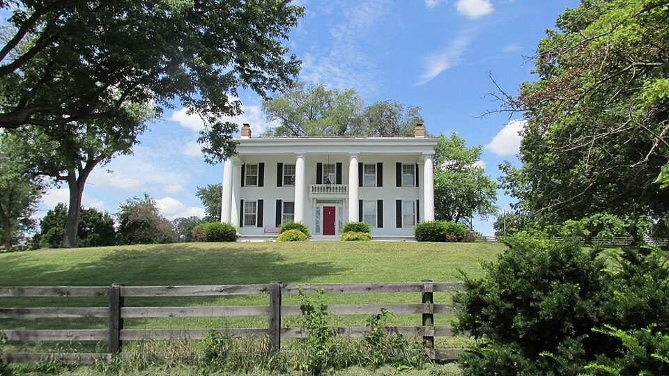
Listed on the National Register of Historic Places in 1987. 7 historic topographic surveys show this location, the earliest from 1906.
One of 15 National Register listings published here for Fayette County · listed in 1987 · category: Building.
Sources: the case file at the National Archives · the National Register database, National Park Service
Regional context, not property-specific evidence. The federal mineral resources record lists 1 working within 5 miles of William McCafferty Farmhouse: 1 producer. All of them still produce. What was taken out: Stone, Crushed/Broken. Distance is straight-line from the map coordinates, so a quarry counted here may appear on a neighbouring settlement's page as well.
| Where | Site | Commodity | Status | Recorded |
|---|---|---|---|---|
| Blazer Pit | Stone, Crushed/Broken | Producer |
United States Geological Survey topographic sheets whose coverage includes this point. Matched by taking the middle of the area the National Park Service maps for this listing, then testing that coordinate against the published boundary of every sheet.
| National Archives record | The nomination case file for reference 87000633 in Record Group 79. |
| Fayette County | All 15 listed properties in this county. |