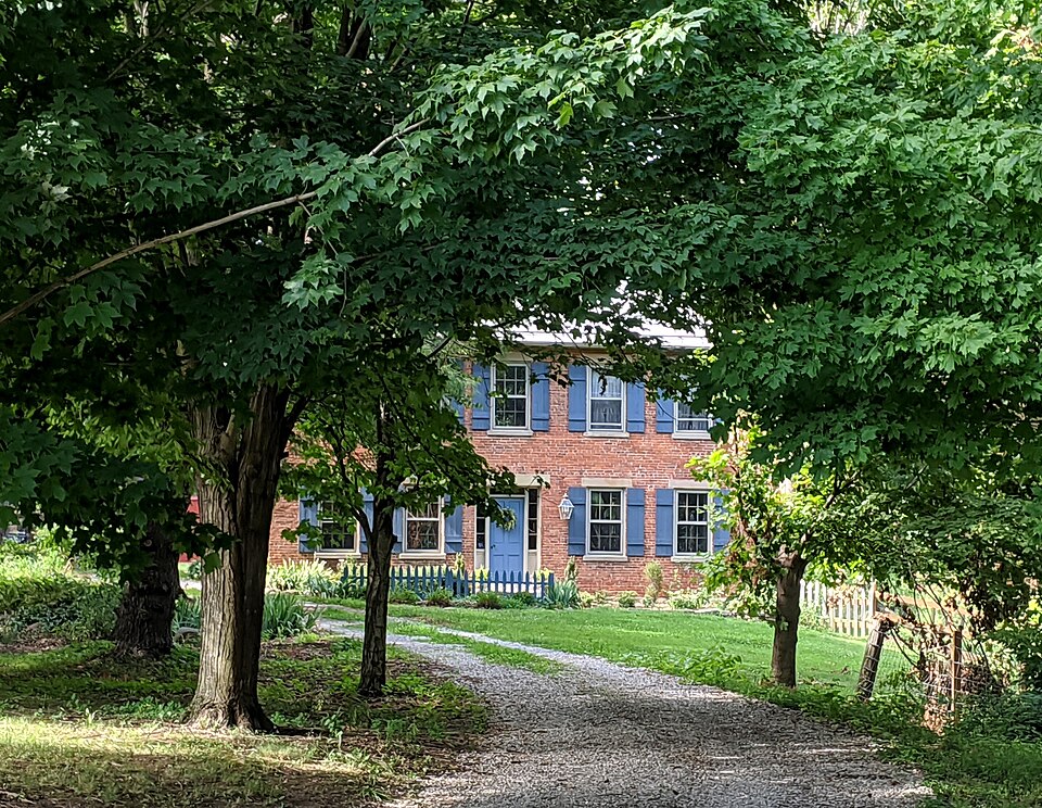
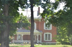
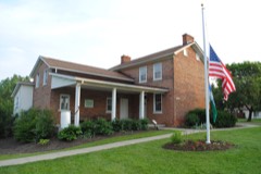
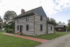
Built in 1848 in the vernacular architecture. Listed on the National Register of Historic Places in
1987. A historic map-sheet match is not published yet. The record needs a coordinate-quality review before it can be joined to a sheet boundary.
From the record
“The Samuel Landes House is a historic house in Columbus, Ohio, United States. The house was built c. 1848 and was listed on the National Register of Historic Places in 1987.”
Wikipedia article Samuel Landes House, CC BY-SA 4.0.
one of 295 National Register listings in Franklin County · listed in 1987 · category: Building · built in 1848, vernacular architecture · one of 3 National Historic Landmarks in Franklin County.
National Register reference number.87000688- the number the National Park Service assigned this property when it was listed, and the key its nomination file is catalogued under at the National Archives.
Regional context, not property-specific
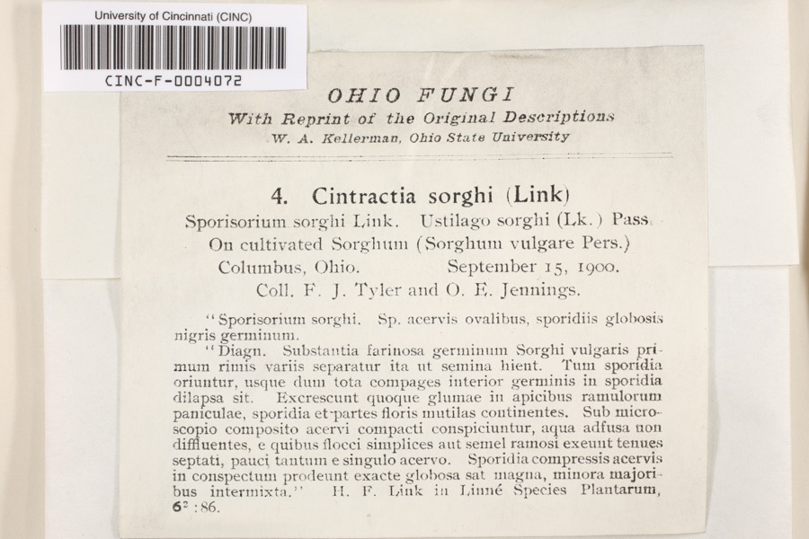
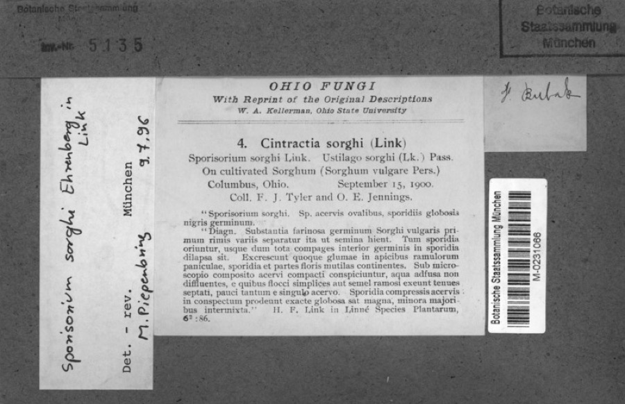
evidence. Museums hold 7,528 specimens
collected within 10 miles of Landes, Samuel, House between 1814 and
1975: 5,784 Animalia, 1,224 Fungi, 388 Plantae, 101 Chromista, 30 Unrecorded, 1 Protozoa. 12 distinct Species records are shown.
Collected by 19 V 1938 in original publication, Knull, =, ? and others. Each is a
physical object with a catalogue
number, and each entry opens the museum's record. This is what was
collected and kept, not a survey of what lives here - nothing can be
concluded from a species being absent.
Regional context, not property-specific
evidence. The federal mineral resources record lists
14 workings within 5 miles of Landes, Samuel, House: 7 producers, 6 past producers, 1 plant.
8 still produce. What was taken out: Sand and Gravel, Construction, Limestone, General, Stone, Crushed/Broken. Distance is straight-line from the
map coordinates, so a quarry counted here may appear on a neighbouring
settlement's page as well.
Regional context, not property-specific
evidence. The National Weather Service names
Lockbourne, the town this property stands in, in 1 storm report between 2012 and 2012: 1 thunderstorm wind.
No death or injury is recorded in these reports. Each account below is quoted exactly as the forecast office
filed it, from the NOAA Storm Events Database, and each date
opens the federal record of that event.
No historic map-sheet match is published
for this property yet. That does not mean no map exists. This record needs
a coordinate-quality review before it can be joined to a sheet boundary.
Browse the county's mapped places while that work is
pending.
From the nomination file
2,529 words on record
When this property was proposed for the
National Register, someone wrote the case for it: what the building is,
and why it matters. That document is a federal record in the public domain.
It is quoted below word for word, never summarised. The text was read off the scanned case file by machine, so the
occasional stray character is the recogniser's and the 1970s
typewriter's.
Description of the property
porch had long ago been removed;but the footer was found to be of poured Constructed ca. 1848 for the Landes family by an unknown builder, the building primarily19th century alterations comprising the major changes to the five bedrooms. Because of the similarity of the brick and the architectural small bedrooms which is separated only by a wall of beaded boards one board _ deteriorated _ unaltered The addition lengthened the ell and consisted of both a two story section, also extended the recessed double galleried porch so that it now included four date concrete. fair The two-story section hall with a curved stairway leading upstairs to two bedrooms. This confirms that it was a later addition since there is no other Franklin County in the late 1840s.
The house and barn retain integrity with extended down over the 1intels which indicatesa later addition. room with low ceiling.It is possible that this small bedroom and the attic NPS Form 10-900-a OMB Approval No. 1024-0018 Landes, Samuel, House, Lockbourne vic., Franklin County, Ohio Section number - . Page - Continuation Sheet United States Department of the Interior National Register of Historic Places this wall had been salvaged and will be used in the restoration of the National Park Service after period styles and plants of the period are being used. In the 1950's two of the four porches were converted to baths. The board wall residence can be.
This means that electric lights, plumbing, telephone and separating the two small bedrooms had been removed.The beaded boards used in four original 6x6 sashes.A badly deteriorated tin roof covering cedar NPS Form 10-900-a OMB No.
(in one paragraph) 1and grant on April 14, 1800 to Cornelius Baldwin, a Virginia surgeon, for his displayed in History of Franklin and Pickaway Counties, Ohio facing page 387. flat stone lintels and delicate 6/6 windows, sidelights and transom with thin 1600-1699 1400-1499 1500-1599 transportation communications 1700-1799 conservation Builder/Architect economics theater invention humanitarian commerce literature engineering military education Period unknown 8.
Significance prehistoric exploration/settlement science Historic Places under Criterion C based on its architectural significance.It Samuel Landes was a prominent farmer in southern Franklin County.The 1850 distinct characteristics of this vernacular house type through its plan, 1900- farmhouse is somewhat common in Franklin county and central/southern Ohio, 1875,five years after her husband who bequeathed to her the house and one muntins reminiscent of the Federal style. this property is unique in Jackson Township as the only I-house with a double social/ acquired by Samuel Landes on November 30,1840 situated south of the farm.
is an excellent example of a vernacular building type.Although this type of In summary, the Samuel Landes house is a locally distinctive example of the Harrisburg Turnpike, south of Franklinton, to the Cottage Mills and Harrisburg estate, suggesting that a house worth approximately $3,0o0 was on the property Sallie Bunn.In 1880 an illustration of.the Bunn's residence was prominently shown to be owned by Samuel Landes. Areas of Significance-Check and justify below Pike (now State Route 665). had been purchased in July of that year ata cost of $15.45 per acre.Thus -agriculture art - archeology-prehistoric community planning . landscape architecture .
Quoted from the National Register nomination
for reference 87000688, 24 pages, held by the National Archives in Record
Group 79. See the
catalogue record.
Listed places nearby
6 within 8 miles
Other National Register properties close
enough to walk or drive between, ordered by distance from this one. Both
positions come from the same geocoding pass that matched these properties
to their map sheets.
Listing record. National Park Service National Register of Historic Places, listed-properties dataset, current to 2026-05-22.
Map join. Address geocoded through the United States Census geocoder, then tested against the published boundary of every sheet in the USGS Historical Topographic Map Collection.
How this page is made. Listing fields come from federal records; map-sheet coverage is a labelled coordinate-to-boundary calculation, not a source-field claim.
Specimens. Global Biodiversity Information Facility (GBIF), https://www.gbif.org/. Only records licensed CC0 or CC BY are used. Records licensed CC BY-NC are excluded because this site carries advertising. Images are checked individually and any whose licence is non-commercial, no-derivatives or unreadable is refused.
Mines and quarries. USGS Mineral Resources Data System (MRDS) https://mrdata.usgs.gov/mrds/ A work of the United States government, no copyright under 17 U.S.C. 105.
Storms. NOAA National Centers for Environmental Information, Storm Events Database https://www.ncei.noaa.gov/stormevents/ A work of the United States government, no copyright under 17 U.S.C. 105. Narratives are quoted verbatim from the National Weather Service report and are not edited or summarised.
 Block
Block