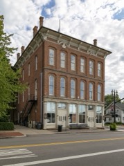
Listed on the National Register of Historic Places in
1982. A historic map-sheet match is not published yet. The record needs a coordinate-quality review before it can be joined to a sheet boundary.
From the record
“In the fall of 1831, the town of Lockbourne was laid out by Col. Kilbourne, as the agent of Joel Buttles, Demas Adams and others.”
History of Franklin County [Ohio]: (1858). Machine-read text.
one of 295 National Register listings in Franklin County · listed in 1982 · category: Building · one of 3 National Historic Landmarks in Franklin County.
Architectural style. Queen Anne style architecture in the United States
National Register reference number.82003571- the number the National Park Service assigned this property when it was listed, and the key its nomination file is catalogued under at the National Archives.
The ground it stands on
536 words
The chapter on Hamilton Township in History of Franklin County [Ohio]:, published 1858 names Lockbourne. This is what it says, exactly as the scans read.
In the fall of 1831, the town of Lockbourne was laid out by Col. Kilbourne, as the agent of Joel Buttles, Demas Adams and others. It now contains about sixty or seventy families, two churches, one denominated the United Brethren in Christ, who have a comfortable wooden church building, erected about the year 1843, the other Methodist Episcopal, w^ith a neat brick church edifice, erected in 1850, two dry goods stores, three groceries, two taverns, three practicing physicians, a grist mill, a saw mill and a post office, established in 1837.
Regional context, not property-specific
evidence. The
federal wildfire occurrence database
lists 1 fire within 5 miles of Herr, Christian S., House between
2010 and 2010, burning about 1 acres in total. None started naturally. None was recorded as arson.
Distance is straight-line from the map coordinates, so a fire counted
here may appear on a neighbouring settlement's page as well.
Reported cause
Fires
Debris and open burning
1
The most recent of
them, most recent first, with the day each was reported and the service
that recorded it.
Regional context, not property-specific
evidence. Museums hold 8,091 specimens
collected within 10 miles of Herr, Christian S., House between 1814 and
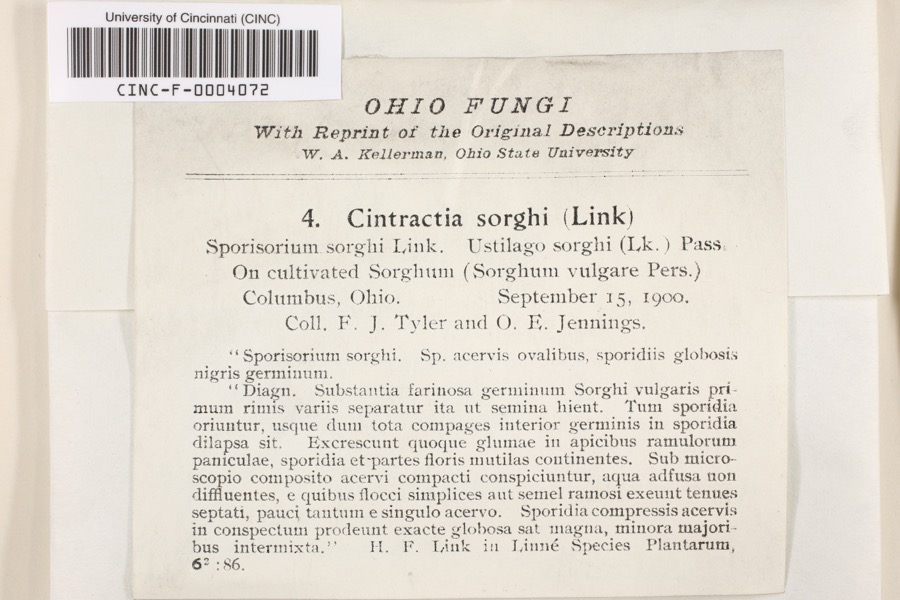
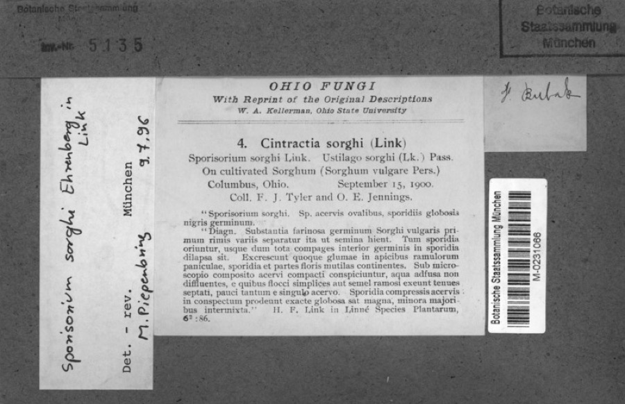
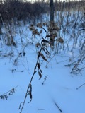
1975: 6,156 Animalia, 1,258 Fungi, 530 Plantae, 116 Chromista, 30 Unrecorded, 1 Protozoa. 12 distinct Species records are shown.
Collected by 19 V 1938 in original publication, Knull, =, ? and others. Each is a
physical object with a catalogue
number, and each entry opens the museum's record. This is what was
collected and kept, not a survey of what lives here - nothing can be
concluded from a species being absent.
Regional context, not property-specific
evidence. The federal mineral resources record lists
17 workings within 5 miles of Herr, Christian S., House: 8 past producers, 7 producers, 2 plants.
9 still produce. What was taken out: Sand and Gravel, Construction, Limestone, General, Stone, Crushed/Broken, Sand and Gravel, Construction, Stone, Crushed/Broken. Distance is straight-line from the
map coordinates, so a quarry counted here may appear on a neighbouring
settlement's page as well.
Regional context, not property-specific
evidence. The National Weather Service names
Lockbourne, the town this property stands in, in 1 storm report between 2012 and 2012: 1 thunderstorm wind.
No death or injury is recorded in these reports. Each account below is quoted exactly as the forecast office
filed it, from the NOAA Storm Events Database, and each date
opens the federal record of that event.
No historic map-sheet match is published
for this property yet. That does not mean no map exists. This record needs
a coordinate-quality review before it can be joined to a sheet boundary.
Browse the county's mapped places while that work is
pending.
From the nomination file
2,639 words on record
When this property was proposed for the
National Register, someone wrote the case for it: what the building is,
and why it matters. That document is a federal record in the public domain.
It is quoted below word for word, never summarised. The text was read off the scanned case file by machine, so the
occasional stray character is the recogniser's and the 1970s
typewriter's.
Description of the property
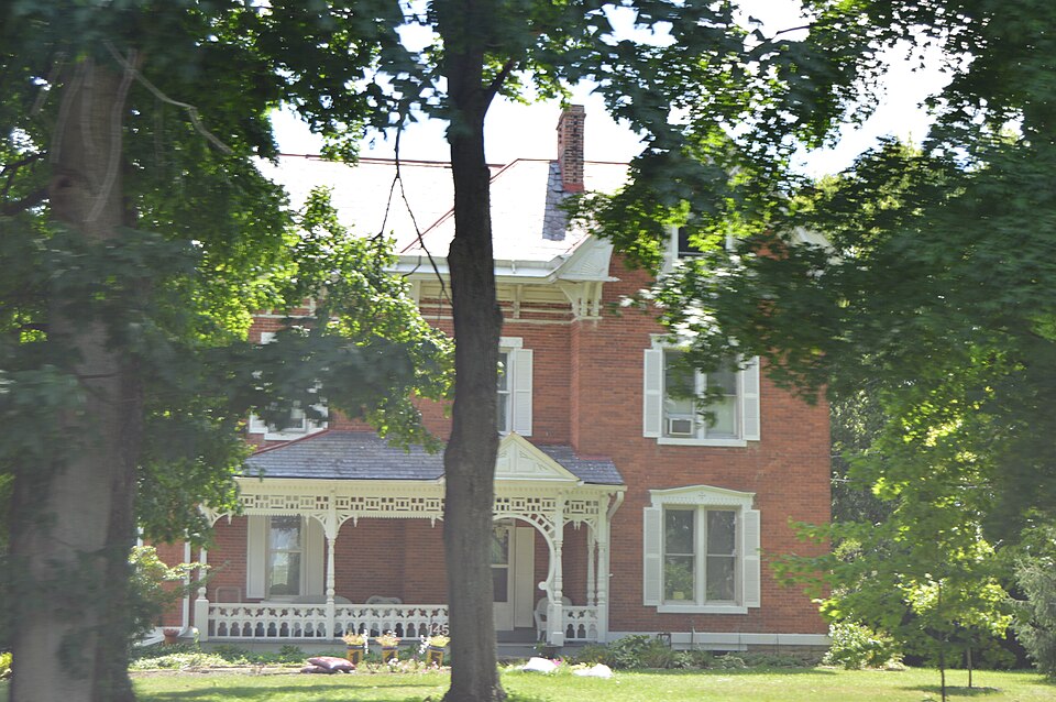
double hung with shaped decorated lintels, louvered shutters, and plain stone lug sills. An enclosed white frame porch was added to the original building on the southwest corner of the house. shutters. unexposed of irregular plan shape with many intersecting blocks and steep gable roofs which are fair course, delicate L-shaped brackets, paneled frieze and boxed cornice with decorative The common bond brick bearing walls are constructed on a coursed rubble fieldstone 7. Description foundation with a cutstone watertable (on north half only). A white wooden string- typical of the style.Its overall feeling is one of verticality.
on the north facade has elaborate latticework which creates a circular motif echoing pediment extends out over the porch steps and the space below it is formed into a cir- _ruins The main entrance in the center of the facade has a flat arch with decorated lintel and Check one the eaves in the gable. - good Unusual decorative features include the Eastlake Style front porch which has a very that of the porch beneath it. Two single brick chimneys, one offset right. straddle louvered ventilating panels are on the sides and circular "spoked" vents are under cular shape by latticework in the same geometric designs.
ridge and one offset right rear slope are on the house.Snow panels are placed along A3 bay by 2 bay brace frame barn with slate shingle saltbox roof is located to the Areas of Significance - Check and justify below - prehistoric - landscape architecture - _ religion - archeology-historic - conservation - science _ agriculture _ economics - sculpture _ education . military - social/ - art _ engineering - music X 1800-1899 . commerce - exploration/settlement - philosophy - theater - industry - politics/government _ transportation - invention - other (specify) Statement of
Statement of significance
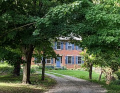
(in one paragraph) architecture adorned with a beautiful sample of an Eastlake Style porch located in The three-dimensional porch details include carved posts, railing, balusters and 1600-1699 communications 1700-1799 1500-1599 Builder/Architect 1400-1499 humanitarian literature Period 8. Significance law The residence is accompanied by an attractive brace frame barn and surrounding farm- Specific dates landholdings for $3,50o. It continues to stand out in this rural area today. 1900- The Christian S.Herr residence is an outstanding example of Italianate residential in a complex, yet complimentary facade. tained and significant complex set in an area prone to recent suburban-style construction.
-_ archeology-prehistoric - community planning - architecture The pedimented gable entrance is perforated and paneled--all which results the rural Lockbourne vicinity. Christian S. Herr, a prominent farmer and grain ele- pendants. Dentils and stylized lattice work decorate under the eaves and in the land which produces a most appealing rural complex. It is a substantial, well main- of his home.He built the house in 1890 near the northwest corner of his extensive 9.
Quoted from the National Register nomination
for reference 82003571, 21 pages, held by the National Archives in Record
Group 79. See the
catalogue record.
Listed places nearby
6 within 8 miles
Other National Register properties close
enough to walk or drive between, ordered by distance from this one. Both
positions come from the same geocoding pass that matched these properties
to their map sheets.
Listing record. National Park Service National Register of Historic Places, listed-properties dataset, current to 2026-05-22.
Map join. Address geocoded through the United States Census geocoder, then tested against the published boundary of every sheet in the USGS Historical Topographic Map Collection.
How this page is made. Listing fields come from federal records; map-sheet coverage is a labelled coordinate-to-boundary calculation, not a source-field claim.
Wildfire. Short, Karen C. 2022. Spatial wildfire occurrence data for the United States, 1992-2020 [FPA_FOD_20221014]. 6th Edition. Fort Collins, CO: Forest Service Research Data Archive. https://doi.org/10.2737/RDS-2013-0009.6 Collected with United States Government funding and usable without additional permissions or fees.
Specimens. Global Biodiversity Information Facility (GBIF), https://www.gbif.org/. Only records licensed CC0 or CC BY are used. Records licensed CC BY-NC are excluded because this site carries advertising. Images are checked individually and any whose licence is non-commercial, no-derivatives or unreadable is refused.
Mines and quarries. USGS Mineral Resources Data System (MRDS) https://mrdata.usgs.gov/mrds/ A work of the United States government, no copyright under 17 U.S.C. 105.
Storms. NOAA National Centers for Environmental Information, Storm Events Database https://www.ncei.noaa.gov/stormevents/ A work of the United States government, no copyright under 17 U.S.C. 105. Narratives are quoted verbatim from the National Weather Service report and are not edited or summarised.
 Block
Block