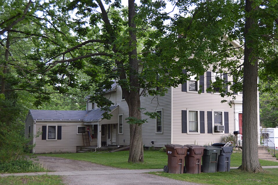
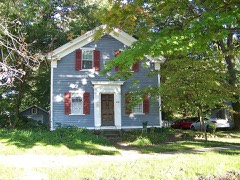
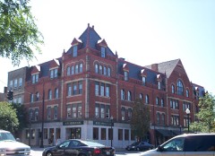
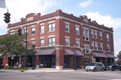
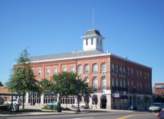
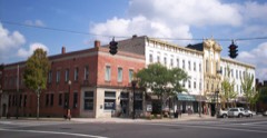
Listed on the National Register of Historic Places in
1987. A historic map-sheet match is not published yet. The record needs a coordinate-quality review before it can be joined to a sheet boundary.
From the record
one of 42 National Register listings in Portage County · listed in 1987 · category: Building.
National Register reference number.87000987- the number the National Park Service assigned this property when it was listed, and the key its nomination file is catalogued under at the National Archives.
Regional context, not property-specific
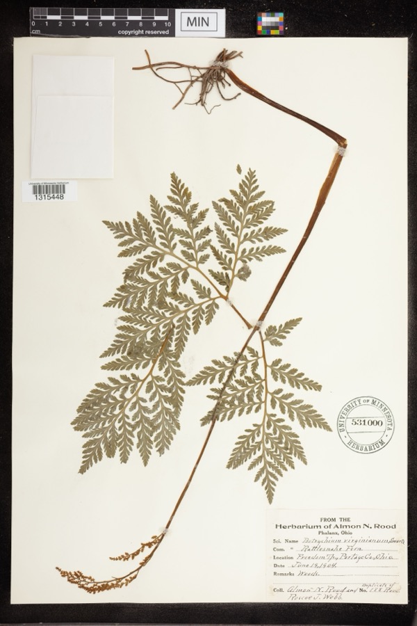
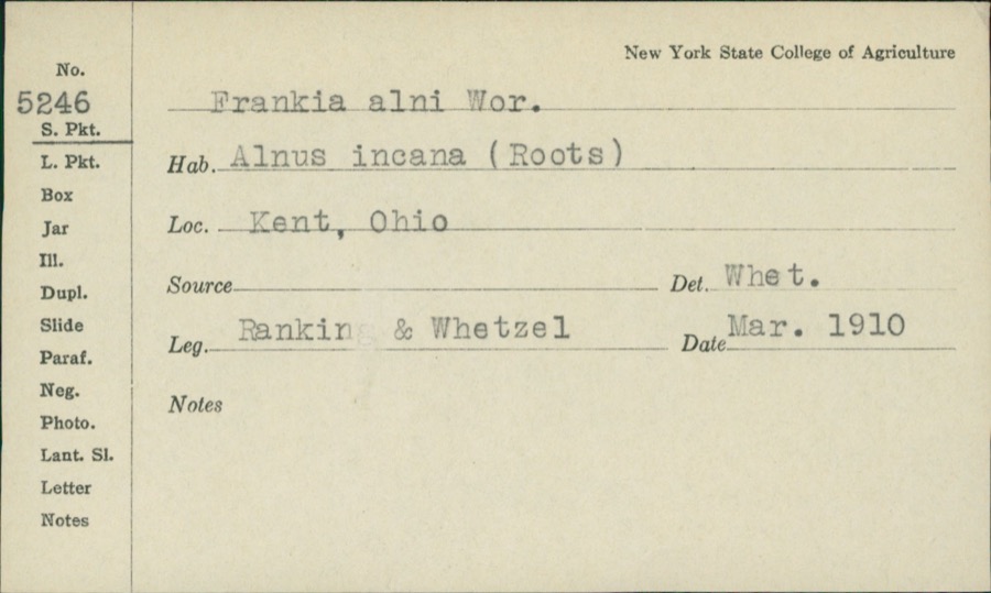
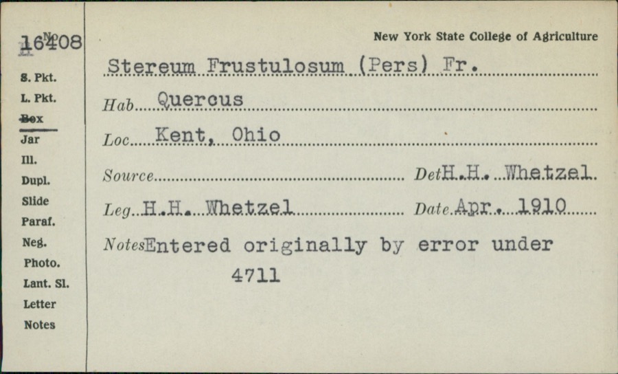
evidence. Museums hold 859 specimens
collected within 10 miles of Griffin, Alexander B., House between 1880 and
1975: 573 Animalia, 245 Plantae, 34 Fungi, 5 Unrecorded, 1 Protozoa, 1 Bacteria. 12 distinct Species records are shown.
Collected by A. D. Huryn, A. F. Clewell, A. K. Wyatt and others. Each is a
physical object with a catalogue
number, and each entry opens the museum's record. This is what was
collected and kept, not a survey of what lives here - nothing can be
concluded from a species being absent.
Regional context, not property-specific
evidence. The federal mineral resources record lists
7 workings within 5 miles of Griffin, Alexander B., House: 4 producers, 3 past producers.
4 still produce. What was taken out: Sand and Gravel, Construction. Distance is straight-line from the
map coordinates, so a quarry counted here may appear on a neighbouring
settlement's page as well.
Regional context, not property-specific
evidence. The National Weather Service names
Ravenna, the town this property stands in, in 56 storm reports between 1994 and 2024: 29 thunderstorm wind, 23 hail, 4 flash flood.
No death or injury is recorded in these reports. Each account below is quoted exactly as the forecast office
filed it, from the NOAA Storm Events Database, and each date
opens the federal record of that event.
Widespread flooding through the northern half of the county. Hewins Road in Windham Township has 6 ft. of water across the roadway. Three mobile home parks in Ravenna Township were inundated. Over 20 homes in Ravenna Township had basement flooding, with additional flooding reported throughout Nelson Township, Garrettsville, and Freedom Township.
An 56 knot thunderstorm wind gust was measured by the AWOS in Ravenna. Emergency Management reported one building collapsed with three others damaged. One of the damaged buildings may have shifted off its foundation. Broadcast media also relayed reports of pine trees down in the area.
Heavy rain fell across central Portage County on the evening of June 17th. Rainfall estimates from local officials were 2 to 3 inches with a few reports of 4 inches which fell in an hour. Some roads were damaged and manhole covers blown off. Ten properties sustained minor water damage to basements and first floors.
Heavy rainfall produced widespread flooding in Ravenna with the hardest hit area along Dawley Road in the township. Other areas include South Chestnut Street, Spruce Road and Hazen Avenue in the city. The rainfall estimates are between 3 and 4 inches of rainfall which fell on the 10th.
7 papers published in this town,
digitised by the Library of Congress and free to read: 0 issues,
0 pages. Every page is searchable, so a name or a street can be
looked for directly in what the town printed about itself at the time.
No historic map-sheet match is published
for this property yet. That does not mean no map exists. This record needs
a coordinate-quality review before it can be joined to a sheet boundary.
Browse the county's mapped places while that work is
pending.
From the nomination file
2,038 words on record
When this property was proposed for the
National Register, someone wrote the case for it: what the building is,
and why it matters. That document is a federal record in the public domain.
It is quoted below word for word, never summarised. The text was read off the scanned case file by machine, so the
occasional stray character is the recogniser's and the 1970s
typewriter's.
Statement of significance
Applicable National Register Criteria Significant Person Griffin, Alexander B. State significance of property, and justify criteria, criteria considerations, and areas and periods of significance noted above. Griffin/O.H. Griffin House has, perhaps, finer proportions and retains a higher level of its interior integrity, the Alexander B. Griffin House is a Griffin/O.H. Griffin House). Both were constructed by Griffin, but he lived in X See continuation sheet 1847-1900 Architecture entrance. Architect/Builder of Ravenna.
Areas of Significance (enter categories from instructions) early house type.Both have the classical detailing of the Greek Revival Significant Dates associations with A.B.Griffin, an important local craftsman and fourth mayor Period of Significance immediately north of the nominated structure, are two of the best examples of in the Greek Revival style constructed in Ravenna, Ohio, in the first half of entrance with flanking pilasters and entablature hood).The Alexander B.
style wide entablature, cornice returns and a classically inspired Griffin House along with the A.B.Griffin/o.H.Griffin House on the lot The A.B.Griffin House is significant as a fine example of a gable front house Historically,417 S.Walnut Alexander B.Griffin House) has more associations with Alexander B.Griffin than 409 S. Walnut Street A.B. has an offset entrance, the A.B. Griffin/o.H. Griffin House has a center Cultural Affiliation X locally fine example of this house type in its own right.
In such close proximity to statewide the nineteenth century.The structure is also significant for its historic Criteria Considerations (Exceptions) one another the two houses offer a rare view of slight variations in a single Certifying official has considered the significance of this property in relation to other properties: nationally Portage County Historical Society, Inc., 1972. Ravenna Republican, 31 August 1899; 21 June 1900.
Quoted from the National Register nomination
for reference 87000987, 18 pages, held by the National Archives in Record
Group 79. See the
catalogue record.
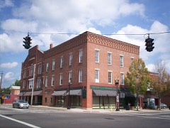
Listed places nearby
6 within 8 miles
Other National Register properties close
enough to walk or drive between, ordered by distance from this one. Both
positions come from the same geocoding pass that matched these properties
to their map sheets.
Listing record. National Park Service National Register of Historic Places, listed-properties dataset, current to 2026-05-22.
Map join. Address geocoded through the United States Census geocoder, then tested against the published boundary of every sheet in the USGS Historical Topographic Map Collection.
How this page is made. Listing fields come from federal records; map-sheet coverage is a labelled coordinate-to-boundary calculation, not a source-field claim.
Specimens. Global Biodiversity Information Facility (GBIF), https://www.gbif.org/. Only records licensed CC0 or CC BY are used. Records licensed CC BY-NC are excluded because this site carries advertising. Images are checked individually and any whose licence is non-commercial, no-derivatives or unreadable is refused.
Mines and quarries. USGS Mineral Resources Data System (MRDS) https://mrdata.usgs.gov/mrds/ A work of the United States government, no copyright under 17 U.S.C. 105.
Storms. NOAA National Centers for Environmental Information, Storm Events Database https://www.ncei.noaa.gov/stormevents/ A work of the United States government, no copyright under 17 U.S.C. 105. Narratives are quoted verbatim from the National Weather Service report and are not edited or summarised.
 Block
Block