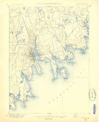
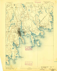
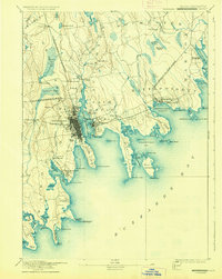
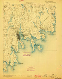
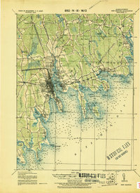
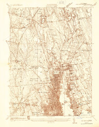
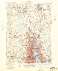
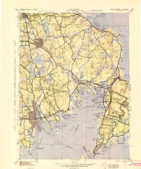
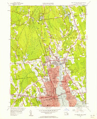
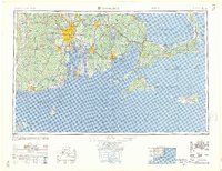
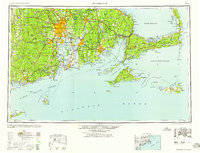
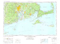
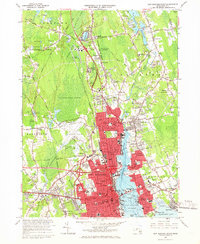
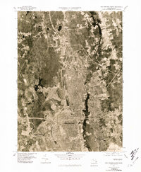
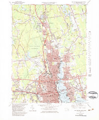
Listed on the National Register of Historic Places in 1989. 19 historic topographic surveys show this location, the earliest from 1885.
From the record
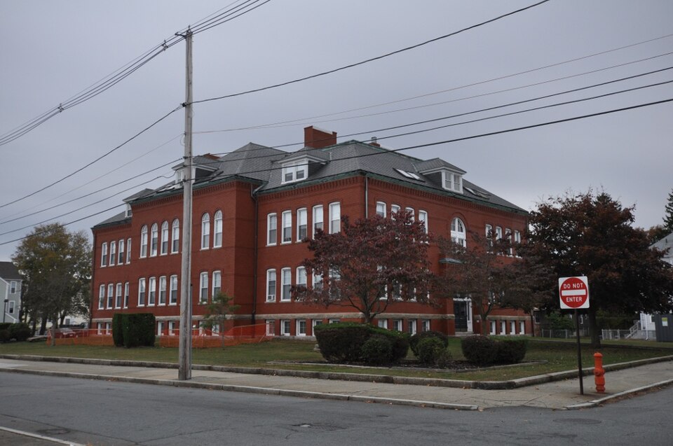
“The Thomas Donaghy School is a historic school building at 68 South Street in New Bedford, Massachusetts. It is a two-story brick structure, roughly rectangular in shape, with a truncated hip roof pierced by hip roof dormers.”
Wikipedia article Thomas Donaghy School, CC BY-SA 4.0.
One of 389 National Register listings published here for Bristol County · listed in 1989 · category: Building.
National Register reference number.89000041- the number the National Park Service assigned this property when it was listed, and the key its nomination file is catalogued under at the National Archives.
Then and now
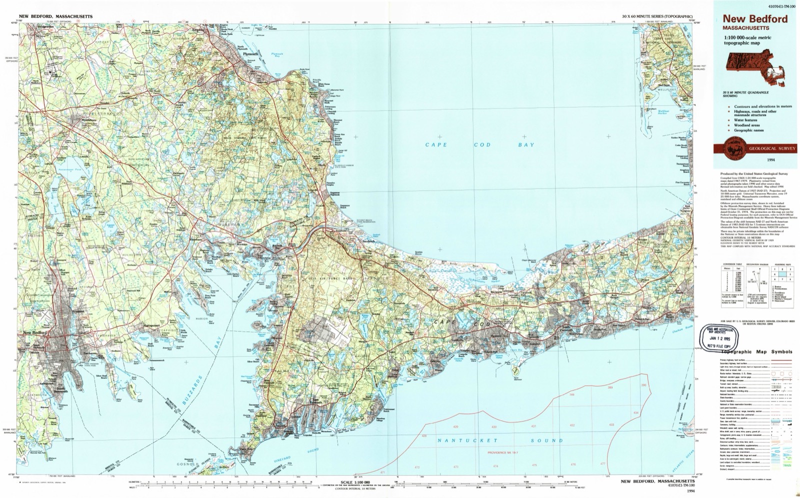
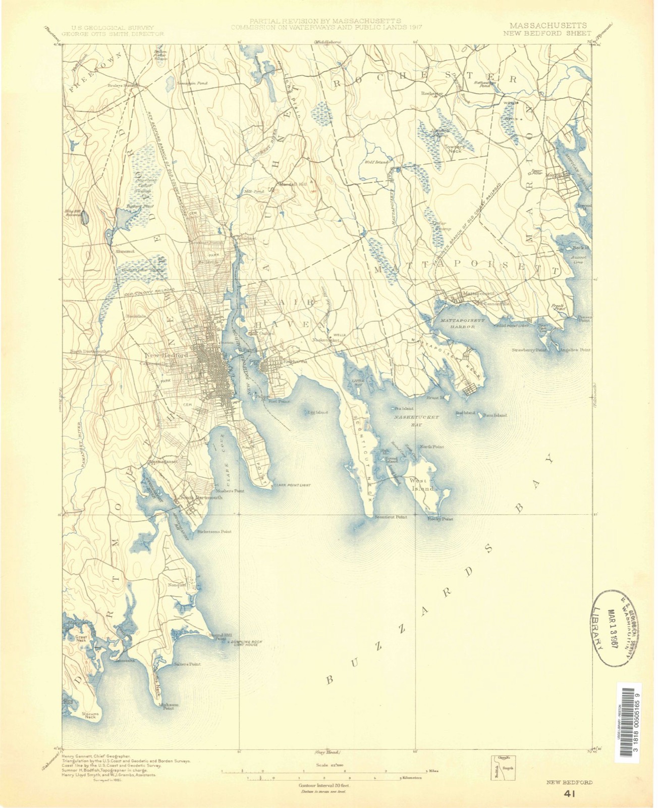
1885 to 1994
The ground this property stands on, surveyed
109 years apart. Drag the handle to wipe between them. Both sheets are
United States Geological Survey originals; neither has been altered.
18851994
Fires near this property
27 since 2015
Regional context, not property-specific
evidence. The
federal wildfire occurrence database
lists 27 fires within 5 miles of Thomas Donaghy School
between 2015 and 2020, burning about 18 acres in total. None started naturally. None was recorded as arson.
Distance is straight-line from the map coordinates, so a fire counted
here may appear on a neighbouring settlement's page as well.
Reported cause
Fires
Missing data/not specified/undetermined
12
Debris and open burning
7
Recreation and ceremony
3
Smoking
2
Misuse of fire by a minor
1
Fireworks
1
Power generation/transmission/distribution
1
The most recent of
them, most recent first, with the day each was reported and the service
that recorded it.
Regional context, not property-specific
evidence. Museums hold 2,244 specimens
collected within 10 miles of Thomas Donaghy School between 1824 and 1975: 930 Animalia, 631 Plantae, 567 Fungi, 87 Chromista, 23 Bacteria, 6 Unrecorded.
12 distinct Species records are shown.
Collected by A. B. Gridley, A. B. Seymour, A. Clark and others. Each is a
physical object with a catalogue
number, and each entry opens the museum's record. This is what was
collected and kept, not a survey of what lives here - nothing can be
concluded from a species being absent.
Regional context, not property-specific
evidence. The federal mineral resources record lists
7 workings within 5 miles of Thomas Donaghy School: 4 past producers, 2 producers, 1 unknown.
2 still produce. What was taken out: Sand and Gravel, Construction, Stone, Crushed/Broken, Stone. Distance is straight-line from the
map coordinates, so a quarry counted here may appear on a neighbouring
settlement's page as well.
Regional context, not property-specific
evidence. The National Weather Service names
New Bedford, the town this property stands in, in 22 storm reports between 1996 and 2023: 11 flood, 4 thunderstorm wind, 3 flash flood, 2 heavy rain.
The reports record 1 death. Each account below is quoted exactly as the forecast office
filed it, from the NOAA Storm Events Database, and each date
opens the federal record of that event.
The Swansea Mall parking lot flooded. In New Bedford: Acushnet Avenue and one lane of Route 18 North were closed due to flooding at their intersections with Hillman Street, Acushnet Avenue was also flooded at Wamsutta Street, Buttonwood Brook went out of its banks flooding several yards on Hawthorne Street, Sawyer and Purchase Streets were flooded. Several basements flooded on Riverside Avenue in Somerset. In Fall River: McGee and Cedar Streets, New Boston Road, and Eastern Avenue were flooded with vehicles stuck in flood waters. In addition, numerous basements were flooded. Union Street and Burt Street near Tremont Street were flooded in Taunton.
Flooding continued after three to five inches of rain fell across the region earlier in the day. In New Bedford, Parker Street near New Bedford High School was closed due to continued flooding. Dartmouth Street was washed out between Rockland and Spooner Streets. The road was closed for repairs as the asphalt washed away. In Acushnet, Main Street near Clems Way was flooded and impassable.
Flooding was reported in New Bedford on parts of Route 18, Purchase Street, and at the intersection of Rockdale, Coggeshall and Sawyer Streets. Route 18 was closed in both directions for a time because of water up to 30 inches deep flooding the roadway. The I-195 eastbound exit ramp to Route 18 South was closed for a brief time due to water covering the roadway. In Fairhaven, flooding affected Route 6 at Green Street as well as on Bridge and Spring Streets, where as much as 18 inches of water covered the road. Two cars were stranded on Adams Street after attempting to drive through the flooded roadway.
Minor street flooding occurred along Route 18 by the Royal restaurant and Tarkiln Hill Road and Kings Highway. A car was stuck in flood waters at Weld Street and Route 18.
In New Bedford, Dartmouth Street at Rockdale Avenue was flooded to the point where DPW assistance was required. Padanaram Ave. was also flooded. Report relayed by amateur radio.
Portions of Acushnet Avenue (Route 18) and Coggeshall Street were closed near Interstate 195 due to flooding. Several cars were stuck in flood waters on Route 6 near Route 140.
Several roads were closed due to flooding in New Bedford. Some of these include: Coggeshall Street, portions of Route 18, and Sawyer Street. In Somerset, Buffington Brook went out of its banks, flooding County Street and a nearby park.
United States Geological Survey topographic
sheets whose coverage includes this point. Matched by taking the coordinate the National Park Service records for this property, then
testing that coordinate against the published boundary of every sheet.
When this property was proposed for the
National Register, someone wrote the case for it: what the building is,
and why it matters. That document is a federal record in the public domain.
It is quoted below word for word, never summarised. The text was read off the scanned case file by machine, so the
occasional stray character is the recogniser's and the 1970s
typewriter's.
Statement of significance
THOMAS DONAGHY SCHOOL,, NEW BEDFORD, MA Certifyingofficial has considered the significance ofthis property in relation to other properties: nationally statewide locally XC -D Applicable National Register Criteria Criteria Considerations (Exceptions) Areas of Significance (enter categories from instructions) ARCHITECTURE community planning and development EDUCATION Period of Significance 1905-1935 Significant Dates 1905 Cultural Affiliation _N/A Significant Person N/A Architect/Builder SAMUEL C. HUNT State significance of property, and justify criteria, criteria considerations, and areas and periods of significance noted above. The Donaghy School, built in 1905, retains integrity of location, design, materials, workmanship, feeling, and association.
Built in response to the exploding population brought about by the industrialization of New Bedford, the Romanesque Revival-style structure is a fine example of a new era in construction of educational facilities. The Donaghy School fulfills criteria A and C of the National Register of Historic Places on the local level. In those decades immediately before and after 1900, New Bedford experienced an enormous population growth due mainly to the cotton textile mills' insatiable demand for laborers. The development of the mills began in the later 1840s in New Bedford, but it was completely overshadowed by the unparalleled success of the whaling industry.
By the 1870s, however, the whaling industry was in its death throes and the cotton textile mills (and other assorted industries, including whaling's nemesis, petroleum) were carrying New Bedford's economic fortunes to grand heights once again. New Bedford's population exploded with her rapid industrialization, jumping from 40,000 in 1890 to over 120,000in 1920, for the mills required workers, and the workers brought their families. The families needed housing and their children need schooling.
Quoted from the National Register nomination
for reference 89000041, 14 pages, held by the National Archives in Record
Group 79. See the
catalogue record.
Listed places nearby
6 within 8 miles
Other National Register properties close
enough to walk or drive between, ordered by distance from this one. Both
positions come from the same geocoding pass that matched these properties
to their map sheets.
Listing record. National Park Service National Register of Historic Places, listed-properties dataset, current to 2026-05-22.
Map join. Address geocoded through the United States Census geocoder, then tested against the published boundary of every sheet in the USGS Historical Topographic Map Collection.
How this page is made. Listing fields come from federal records; map-sheet coverage is a labelled coordinate-to-boundary calculation, not a source-field claim.
Wildfire. Short, Karen C. 2022. Spatial wildfire occurrence data for the United States, 1992-2020 [FPA_FOD_20221014]. 6th Edition. Fort Collins, CO: Forest Service Research Data Archive. https://doi.org/10.2737/RDS-2013-0009.6 Collected with United States Government funding and usable without additional permissions or fees.
Specimens. Global Biodiversity Information Facility (GBIF), https://www.gbif.org/. Only records licensed CC0 or CC BY are used. Records licensed CC BY-NC are excluded because this site carries advertising. Images are checked individually and any whose licence is non-commercial, no-derivatives or unreadable is refused.
Mines and quarries. USGS Mineral Resources Data System (MRDS) https://mrdata.usgs.gov/mrds/ A work of the United States government, no copyright under 17 U.S.C. 105.
Storms. NOAA National Centers for Environmental Information, Storm Events Database https://www.ncei.noaa.gov/stormevents/ A work of the United States government, no copyright under 17 U.S.C. 105. Narratives are quoted verbatim from the National Weather Service report and are not edited or summarised.
 Block