Block
From the record
One of 342 National Register listings published here for Norfolk County · listed in 1989 · category: Building.
Sources: the case file at the National Archives · the National Register database, National Park Service
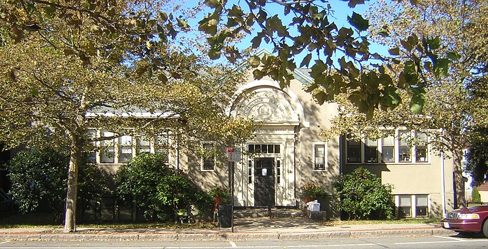
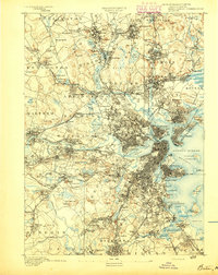
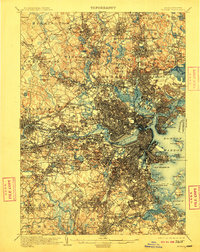
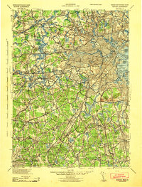
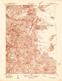
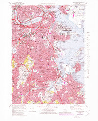
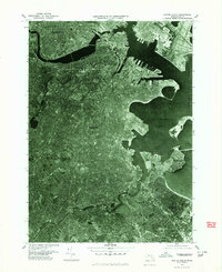
Listed on the National Register of Historic Places in 1989. 17 historic topographic surveys show this location, the earliest from 1893.
One of 342 National Register listings published here for Norfolk County · listed in 1989 · category: Building.
Sources: the case file at the National Archives · the National Register database, National Park Service
The chapter on Quincy City in History of Norfolk County, Massachusetts, with Biographical Sketches of Many of Its Pioneers and Prominent Men, published 1884 names Quincy. This is what it says, exactly as the scans read.
Such was the first recorded visit of Huropeans to Quincy, and the name of the peninsula which the party visited still stands as a memorial of the event. That it was then called Squantum is not certain, though the explorers not improbably did at that time vive those names of Allerton and Brewster, which they have borne ever since, to points in the bay.
Passage source: History of Norfolk County, Massachusetts, with Biographical Sketches of Many of Its Pioneers and Prominent Men, published 1884.
At the time of Standish's visit the territory since called Quincy was occupied by a poor remnant of the Massachusetts tribe of Indians, some forty to sixty in number. The them. Some years before he had dwelt at Mount Wollaston, which had then been cleared and cultisachem Chickatabot ruled over vated, and the shell-heaps still to be found thereabouts indicate that it was a favorite Indian resort. North of Mount Wollaston, and between it and the Neponset, in that region since locally known as '"' The Farms," was, and still is, a broad, open plain called the flourishing days of the tribe to have been its gather- their time in games and feasting. Indeed, the name of the tribe is supposed to have been derived from the small savin-crowned hummock, lying between the Fields and Squantum, and bearing in its shape some more or less fanciful resemblance to an arrow's head.* It would thus appear that not only was the name of the commonwealth derived from a spot within the limits of Quincy, but it was within those limits also that the Massachusetts tribe found that common gathering-place which was to them what the Isthmian fields were to the Greeks. The eastern slope of the Blue Hills and the shores of Quincy Bay were the cradle, the home, and the grave of the race.
Passage source: History of Norfolk County, Massachusetts, with Biographical Sketches of Many of Its Pioneers and Prominent Men, published 1884.
Machine-read from a century-old scan, so expect the errors a machine makes: misspelled names, dropped words, stray characters.
Read the whole chapter on Quincy City - 94,488 words on its settlement, mills, schools and churches.
Regional context, not property-specific evidence. The federal wildfire occurrence database lists 224 fires within 5 miles of Wollaston Branch, Thomas Crane Public Library between 2015 and 2020, burning about 131 acres in total. None started naturally. None was recorded as arson. Distance is straight-line from the map coordinates, so a fire counted here may appear on a neighbouring settlement's page as well.
| Reported cause | Fires |
|---|---|
| Recreation and ceremony | 155 |
| Smoking | 34 |
| Missing data/not specified/undetermined | 18 |
| Debris and open burning | 14 |
| Fireworks | 2 |
| Equipment and vehicle use | 1 |
The most recent of them, most recent first, with the day each was reported and the service that recorded it.
| Date | Cause | Size | Reported by | Name on the report |
|---|---|---|---|---|
| 7 September 2015 | Recreation and ceremony | under an acre | Massachusetts Bureau of Forest Fire Control | BRAINTREE |
| 7 September 2015 | Recreation and ceremony | under an acre | Massachusetts Bureau of Forest Fire Control | BRAINTREE |
| 5 September 2016 | Smoking | under an acre | Massachusetts Bureau of Forest Fire Control | QUINCY |
| 28 September 2015 | Recreation and ceremony | under an acre | Massachusetts Bureau of Forest Fire Control | BRAINTREE |
| 23 September 2019 | Missing data/not specified/undetermined | under an acre | Massachusetts Bureau of Forest Fire Control | not named |
| 22 September 2015 | Recreation and ceremony | under an acre | Massachusetts Bureau of Forest Fire Control | BRAINTREE |
| 22 September 2015 | Recreation and ceremony | 1.5 acres | Massachusetts Bureau of Forest Fire Control | BRAINTREE |
| 20 September 2015 | Recreation and ceremony | under an acre | Massachusetts Bureau of Forest Fire Control | BRAINTREE |
Regional context, not property-specific evidence. Museums hold 11,581 specimens collected within 10 miles of Wollaston Branch, Thomas Crane Public Library between 1810 and 1975: 5,350 Plantae, 2,872 Fungi, 2,728 Animalia, 352 Chromista, 195 Protozoa, 54 Unrecorded, 30 Bacteria. 12 distinct Species records are shown. Collected by (MARSDEN, H W), ?, A C Gibson and others. Each is a physical object with a catalogue number, and each entry opens the museum's record. This is what was collected and kept, not a survey of what lives here - nothing can be concluded from a species being absent.
| Image | Species | Year | Collected by | Where, as recorded |
|---|---|---|---|---|
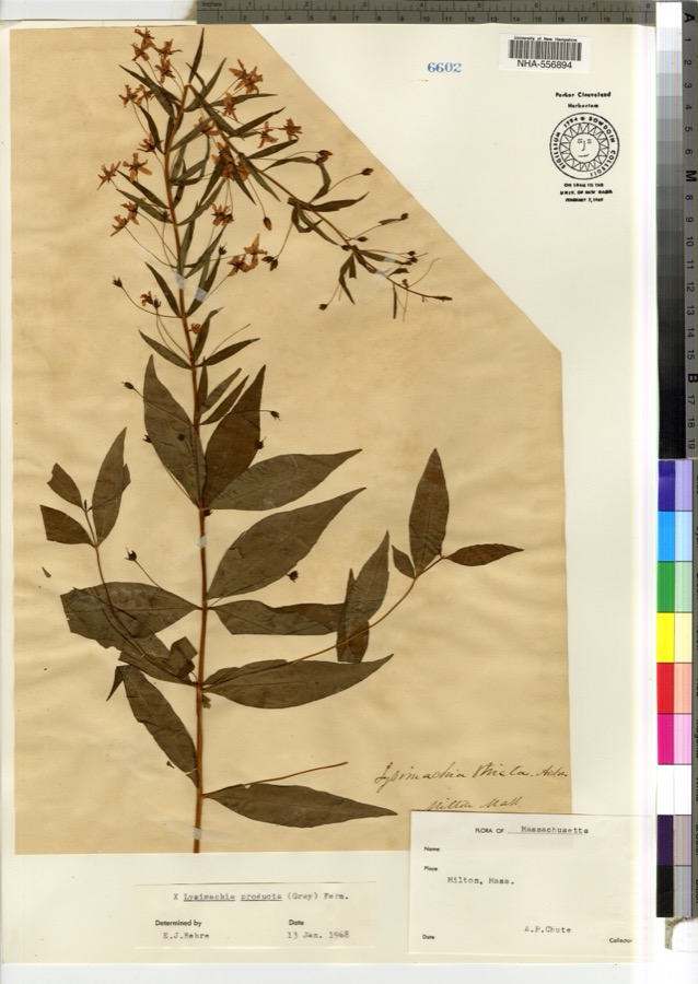 | Lysimachia × producta (A.Gray) Fernald | 1900 | A. P. Chute | |
 | Thalictrum L. | 1810 | Boott, J.W. | Near Boston. |
 | Anemone L. | 1815 | Boott, J. | Andover Turnpike, 7 miles from Boston. |
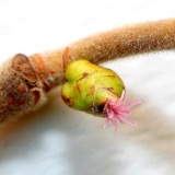 | Corylus L. | 1815 | not recorded | Cambridge Port, 2 miles from Boston. |
| Ericaceae | 1815 | Boott | Boston, U.S.A. | |
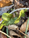 | Hepatica Mill. | 1815 | Boott, F.M.B. | Sweet Auburn. |
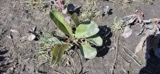 | Limonium vulgare Mill. | 1815 | not recorded | On Cragies Road [=near Cragies Bridge], 1 1/2 miles from Boston. |
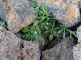 | Mollugo verticillata L. | 1815 | Boott, F.M.B. | Boston. |
 | Nuphar Sm. | 1815 | Boott, J.W. | Worcester Turnpike 6 miles from Boston. |
 | Persicaria (L.) Mill. | 1815 | Boott, J.W. | Craigie's Road, 2 miles from Boston. |
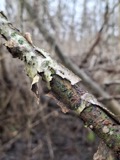 | Populus L. | 1815 | not recorded | Cambridgeport, 1 mile from Boston. |
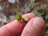 | Ranunculus L. | 1815 | not recorded | Thicket at South Boston. |
All 11,581 specimens within 10 miles, at the Global Biodiversity Information Facility.
Regional context, not property-specific evidence. The federal mineral resources record lists 3 workings within 5 miles of Wollaston Branch, Thomas Crane Public Library: 2 producers, 1 past producer. 2 still produce. What was taken out: Granite, Stone, Crushed/Broken, Sand and Gravel, Construction. Distance is straight-line from the map coordinates, so a quarry counted here may appear on a neighbouring settlement's page as well.
| Where | Site | Commodity | Status | Recorded |
|---|---|---|---|---|
| Braintree Plant | Sand and Gravel, Construction | Producer | ||
| Old Colony Crushed Stone | Granite | Past Producer | Granite | |
| Old Colony Quarry | Stone, Crushed/Broken | Producer |
Regional context, not property-specific evidence. The National Weather Service names Quincy, the town this property stands in, in 29 storm reports between 1995 and 2025: 10 thunderstorm wind, 8 flood, 5 flash flood, 3 hail. No death or injury is recorded in these reports. Each account below is quoted exactly as the forecast office filed it, from the NOAA Storm Events Database, and each date opens the federal record of that event.
| When | Event | Place named | Harm | What the report says |
|---|---|---|---|---|
| November 2002 | Storm Surge/Tide | Quincy | $15,000 | no account filed |
| August 2015 | Lightning | Quincy | $10,000 | Lightning struck a house on Vassall Road, shattering the chimney and breaking a water pipe near the chimney. |
| August 2010 | Flood | West Quincy | $8,000 | Several streets in the area of Quincy, Braintree, and Milton were flooded with one to two feet of water. One car was stuck in flood waters at Granite and Chickatawbut Roads in Quincy. |
| July 2021 | Thunderstorm Wind | Quincy | $5,000 | In Quincy, a tree was down on a car at the intersection of Evans Street and West Squantum Street. A person was trapped and extricated, but fortunately was uninjured. Police report relayed by amateur radio. |
| April 2017 | Flood | West Quincy | $5,000 | At 944 AM EST an amateur radio operator reported a flooded basement on Bunker Hill Lane in Quincy. |
| June 2016 | Flood | Quincy | $5,000 | A car was stuck in 3 to 4 feet of water near the intersection of Willard and Robertson Streets. |
| August 2016 | Flood | West Quincy | $5,000 | A car was stuck in flood waters on Independence Avenue and Bennington Street. |
| July 2006 | Thunderstorm Wind | Quincy | $5,000 | no account filed |
| August 2005 | Flash Flood | Quincy | $5,000 | no account filed |
| August 2005 | Thunderstorm Wind | Quincy | $5,000 | no account filed |
| August 2001 | Thunderstorm Wind | Quincy | $5,000 | no account filed |
| June 2021 | Thunderstorm Wind | Quincy | $1,500 | In Quincy, trees were down on Holbrook Road at Newport Avenue. A tree was down on Warren Avenue. |
| July 2021 | Thunderstorm Wind | West Quincy | $1,000 | In Quincy, a tree was down at 49 Nelson Street. Also, a tree was down on Furnace Brook Parkway. |
| July 2017 | Flood | West Quincy | $1,000 | At 511 PM EST, an amateur radio operator reported Vernon Street flooded and impassable, with cars stuck in the flooding. |
| July 2020 | Thunderstorm Wind | Quincy | $500 | In Quincy, there was a report of a tree down - street unknown. |
| July 2025 | Flash Flood | Quincy | - | In Quincy, significant flooding was occurring on the southeast Expressway. |
| July 2025 | Flash Flood | Quincy | - | In Quincy, I-93 northbound was closed due to flooding in the Furnace Brook area. |
| July 2023 | Flash Flood | Quincy | - | In Quincy, DPW assistance was requested for flooding on Enterprise Dr. |
| July 2023 | Flash Flood | West Quincy | - | In Quincy, I-93 North at exit 9 had the middle and right lanes flooded and impassable. |
| August 2017 | Flood | West Quincy | - | At 349 PM EST, a car was trapped in street flooding at junction of Independence Avenue and Bennington Street in Quincy. |
| July 2017 | Flood | West Quincy | - | At 333 PM EST, multiple cars were trapped in flood waters on Water Street in Quincy. |
| June 2016 | Flood | North Quincy | - | Standish Road was impassable due to flooding near the intersection with Parke Avenue. |
| May 2015 | Hail | Quincy | - | no account filed |
| June 2000 | Thunderstorm Wind | Quincy | - | no account filed |
| June 2000 | Hail | Quincy | - | no account filed |
| June 2000 | Hail | Quincy | - | no account filed |
| July 2000 | Thunderstorm Wind | Quincy | - | no account filed |
| July 2000 | Lightning | Quincy | - | no account filed |
| October 1995 | Thunderstorm Wind | Quincy | - | no account filed |
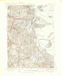
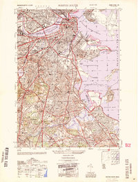
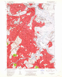
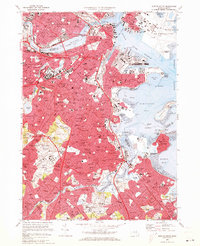
United States Geological Survey topographic sheets whose coverage includes this point. Matched by taking the coordinate the National Park Service records for this property, then testing that coordinate against the published boundary of every sheet.
When this property was proposed for the National Register, someone wrote the case for it: what the building is, and why it matters. That document is a federal record in the public domain. It is reproduced in full on its own page, word for word and never summarised. The text was read off the scanned case file by machine, so the occasional stray character is the recogniser's and the 1970s typewriter's.
The whole case file for this property - 1,453 words, 13 pages, reproduced complete.
Quoted from the National Register nomination for reference 89001316, 13 pages, held by the National Archives in Record Group 79. See the catalogue record.
Other National Register properties close enough to walk or drive between, ordered by distance from this one. Both positions come from the same geocoding pass that matched these properties to their map sheets.
| Photograph | Property | Distance | Listed |
|---|---|---|---|
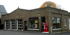 | Smith, A. C., & Co. Gas Station | 0.2 miles | 1994 |
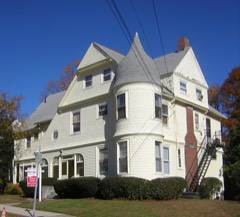 | David L. Jewell House | 0.2 miles | 1989 |
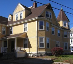 | Jonathan Dexter Record House | 0.2 miles | 1989 |
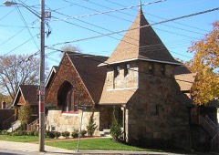 | Wollaston Unitarian Church | 0.3 miles | 1989 |
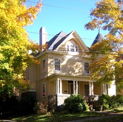 | House at 94 Grandview Avenue | 0.3 miles | 1989 |
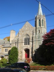 | Wollaston Congregational Church | 0.3 miles | 2008 |
| National Archives record | The nomination case file for reference 89001316 in Record Group 79. |
| Norfolk County | All 342 listed properties in this county. |