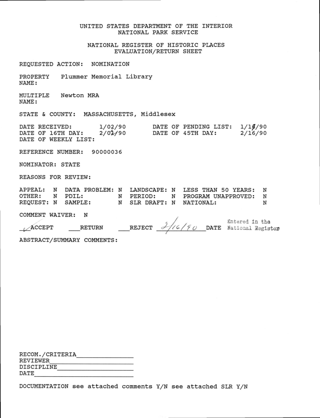
Photographs from the nomination case file, National Park Service records.
Plummer Memorial Library
Listed on the National Register of Historic Places in
1990. A historic map-sheet match is not published yet. The record needs a coordinate-quality review before it can be joined to a sheet boundary.
From the record
“In the period extending from 1838 to 1845, the question of the division of the town into two independent organizations was warmly contested. Owing to the peculiar configuration of Newton, and the dispo^ of most of its villages at that period nearly on the circumference, because of the water privileges on Charles lUver on the one hand, and the conveniences created by railway stations along the line of the Boston and Albany Railroad on the other, many favored a division.”
History of Middlesex County, Massachusetts (1880). Machine-read text.
one of 1100 National Register listings in Middlesex County · listed in 1990 · category: Building · one of 3 National Historic Landmarks in Middlesex County.
National Register reference number.90000036- the number the National Park Service assigned this property when it was listed, and the key its nomination file is catalogued under at the National Archives.
What happened here
An account from the chapter on Newton city, The inset identifies its exact
source book and publication year.
JbIj^ 1700, M. 63. Capt. Noab, of Newton, an Officer in the Expedition against Canada. Killed in battle with the Freoch and Indians July C, 1C90. M. 50, leaving t son Thomas. Ebeneser, oC Newton, died June 21, 1691. .fi. 45. ... . . J. B. Jepson, Newton Comer, rereals many gravestones whose inscriptions are no longer l^ble, and others, recalling the names which filled a laige place in the early history of the town, and Belonged to the founders of its institutions and the authors of its prosperity.
Captain Prentice and his wife, Grace, had four sons and four daughters. Two of his sons died in childhood ; the other two were married. Thomas, the eldest, had three sons, and died in 1685, and the old captain had the bringing up of the three grandsons, to whom he gave a good education and all his estate. Thomas, the eldest grandson, was a leading man in Newton, a captain of infantry, and died in 1730. The second grandson, John, married a daughter of Edward Jackson, and died without children, aged thirty-five. The third grandson, Samuel, married Esther, daughter of Nathaniel Hammond, and settled in Stouington, Conn. Prom this marriage have proceeded numerous descendants. Captain Prentice's wife, Grace, died October 9, 1692. He died July 6, 1710, aged eighty-nine, and was buried under arms. He settled his own estate by deeds of gift to his grandchildren. He was one of the most substantial men of his age, and enjoyed the miliniited confidence of his associates in the settlement of New Cambridge. Edward Jackson, in his will, made in 1681, inserts this clause, which is a contemjoorary testimony to his merits: "I bequeath to my honored friend, Capt. Thomas Prentice, one diamond rhig."
The Parkers in Newton have descended from two distinct families, namely, John and Joanna of Hingliam, and Samuel and Sarah of Dedham. Nathaniel Parker was a prominent man in Newton; he was the son of Samuel and Sarah, born in Dedham, March ^6, 1670. He owned the land on which the third meeting-house was erected, - the site still occupied by the First Parish Church. He sold this land, containing one and a half acres and twenty rods, for £ 15, and conveyed it to the selectmen of Newton by deed, in August, 1716.
Regional context, not property-specific
evidence. The
federal wildfire occurrence database
lists 94 fires within 5 miles of Plummer Memorial Library between
2015 and 2020, burning about 48 acres in total. None started naturally. 3 were recorded as arson.
Distance is straight-line from the map coordinates, so a fire counted
here may appear on a neighbouring settlement's page as well.
Reported cause
Fires
Recreation and ceremony
41
Missing data/not specified/undetermined
35
Debris and open burning
12
Arson/incendiarism
3
Other causes
1
Smoking
1
Power generation/transmission/distribution
1
The most recent of
them, most recent first, with the day each was reported and the service
that recorded it.
Regional context, not property-specific
evidence. Museums hold 2,518 specimens
collected within 10 miles of Plummer Memorial Library between 1898 and
1975: 1,285 Animalia, 654 Plantae, 523 Fungi, 29 Protozoa, 13 Bacteria, 10 Chromista, 4 Unrecorded. 12 distinct Species records are shown.
Collected by ?, A B Seymour, A. B. Seymour and others. Each is a
physical object with a catalogue
number, and each entry opens the museum's record. This is what was
collected and kept, not a survey of what lives here - nothing can be
concluded from a species being absent.
Regional context, not property-specific
evidence. The federal mineral resources record lists
6 workings within 5 miles of Plummer Memorial Library: 4 past producers, 1 producer, 1 plant.
2 still produce. What was taken out: Sand and Gravel, Construction, Stone, Crushed/Broken, Tantalum, Niobium (Columbium). Distance is straight-line from the
map coordinates, so a quarry counted here may appear on a neighbouring
settlement's page as well.
Regional context, not property-specific
evidence. The National Weather Service names
Newton, the town this property stands in, in 17 storm reports between 1997 and 2025: 8 thunderstorm wind, 4 hail, 3 flood, 1 flash flood.
The reports record 1 injury. Each account below is quoted exactly as the forecast office
filed it, from the NOAA Storm Events Database, and each date
opens the federal record of that event.
A 62-year old woman was struck by lightning. She endured a side flash after lightning struck a tree near her. She was alert and breathing at the scene but was transported to a hospital for further evaluation.
In Newton, a tree was down on a car near 1750 Commonwealth Avenue. Also, a tree was down on a house at 111 Prospect Street. A tree was down on Park Drive. A tree was down on Adams Street at Wiltshire Road.
In Newton, urban flooding caused two cars to have to be removed from flood waters near 100 Walnut Street. Also, Adams Street was flooded and impassable from Watertown Street (Route 16) to Cottage Court.
In Newton, a 20 foot stretch of Beacon Street was flooded with 1 foot of water. Also, Route 9 at the Parker Street underpass was flooded with 6 to 12 inches of water. Route 9 westbound near the Chestnut Hill Mall was flooded with 10 to 12 inches of water. In Natick, Speen Street near the Natick Mall was flooded with a foot of water. A few cars stalled out in the water.
After receiving two to three inches of rain with Tropical Storm Irene, the intersection of Commonwealth Avenue and Washington Street was impassable due to flooding in Newton. A car was stuck in flood waters on Commonwealth Avenue.
No historic map-sheet match is published
for this property yet. That does not mean no map exists. This record needs
a coordinate-quality review before it can be joined to a sheet boundary.
Browse the county's mapped places while that work is
pending.
From the nomination file
1,044 words on record
When this property was proposed for the
National Register, someone wrote the case for it: what the building is,
and why it matters. That document is a federal record in the public domain.
It is reproduced in full on its own page, word for word and never summarised. The text was read off the scanned case file by machine, so the
occasional stray character is the recogniser's and the 1970s
typewriter's.
Quoted from the National Register nomination
for reference 90000036, 7 pages, held by the National Archives in Record
Group 79. See the
catalogue record.
Listed places nearby
6 within 8 miles
Other National Register properties close
enough to walk or drive between, ordered by distance from this one. Both
positions come from the same geocoding pass that matched these properties
to their map sheets.
Listing record. National Park Service National Register of Historic Places, listed-properties dataset, current to 2026-05-22.
Map join. Address geocoded through the United States Census geocoder, then tested against the published boundary of every sheet in the USGS Historical Topographic Map Collection.
How this page is made. Listing fields come from federal records; map-sheet coverage is a labelled coordinate-to-boundary calculation, not a source-field claim.
Wildfire. Short, Karen C. 2022. Spatial wildfire occurrence data for the United States, 1992-2020 [FPA_FOD_20221014]. 6th Edition. Fort Collins, CO: Forest Service Research Data Archive. https://doi.org/10.2737/RDS-2013-0009.6 Collected with United States Government funding and usable without additional permissions or fees.
Specimens. Global Biodiversity Information Facility (GBIF), https://www.gbif.org/. Only records licensed CC0 or CC BY are used. Records licensed CC BY-NC are excluded because this site carries advertising. Images are checked individually and any whose licence is non-commercial, no-derivatives or unreadable is refused.
Mines and quarries. USGS Mineral Resources Data System (MRDS) https://mrdata.usgs.gov/mrds/ A work of the United States government, no copyright under 17 U.S.C. 105.
Storms. NOAA National Centers for Environmental Information, Storm Events Database https://www.ncei.noaa.gov/stormevents/ A work of the United States government, no copyright under 17 U.S.C. 105. Narratives are quoted verbatim from the National Weather Service report and are not edited or summarised.
 Block
Block