BlockBefore
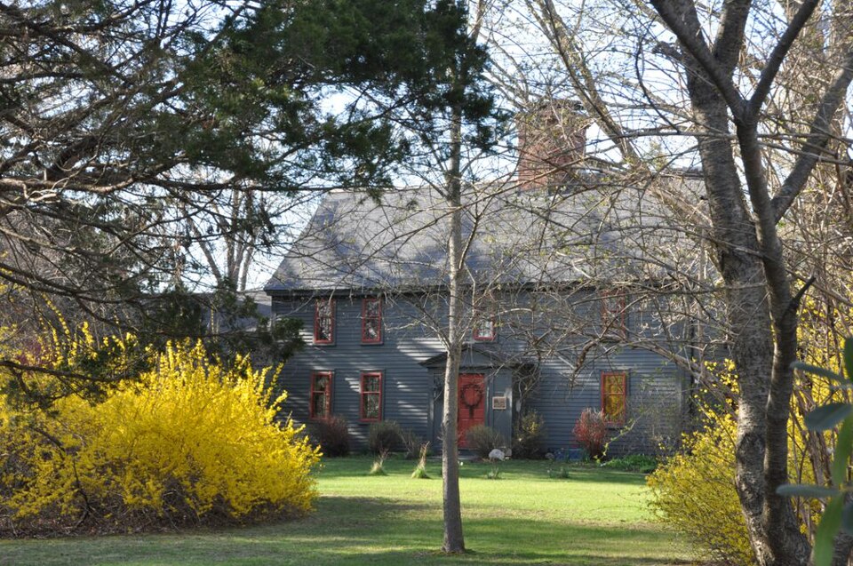
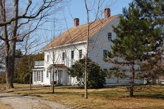
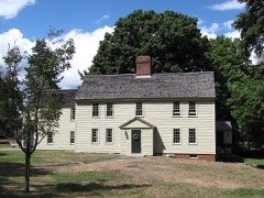
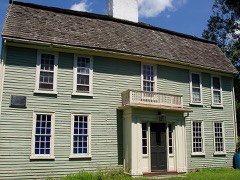
Photograph of Deacon Edward Putnam, Jr. House
Photograph by User:Magicpiano, CC BY-SA 4.0. Via Wikimedia Commons.

Deacon Edward Putnam Jr. House

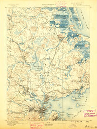
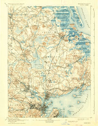
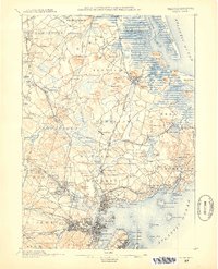
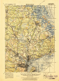
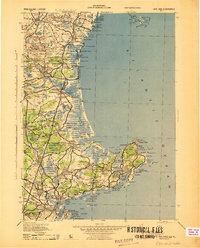
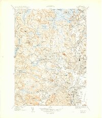
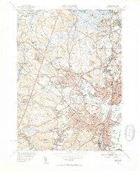
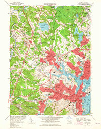
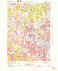
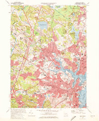
Listed on the National Register of Historic Places in 1990. 17 historic topographic surveys show this location, the earliest from 1888.

From the record

“House is a historic First Period house in Middleton, Massachusetts, United States. The oldest portion of the house, its right (east) side and the central chimney, were built c. 1705, probably by Deacon Edward Putnam Sr.”

Wikipedia article Deacon Edward Putnam Jr. House, CC BY-SA 4.0.

One of 480 National Register listings published here for Essex County · listed in 1990 · category: Building.

Sources: the Wikipedia article · the case file at the National Archives · the National Register database, National Park Service

The listing

  • What is counted as historic. The nomination lists 1 building as contributing to the listing.
  • Listed as. Putnam, Deacon Edward, Jr., House - the National Register files a house under its owner's surname.
  • Address. 4 Gregory St., Middleton, 01949
  • When was it listed? 1990-03-09
  • Category. building
  • Also known as. First Period Buildings of Eastern Massachusetts TR
  • Town. Middleton town
  • Architectural style. American colonial architecture
  • National Register reference number. 90000243 - the number the National Park Service assigned this property when it was listed, and the key its nomination file is catalogued under at the National Archives.

The ground it stands on

21,120 words

The chapter on Middleton Town in History of Essex County, Massachusetts, with Biographical Sketches of Many of Its Pioneers and Prominent Men, published 1888 names Middleton. This is what it says, exactly as the scans read.

The largest body of water has always been called Middleton Pond, which now supplies Danvers as well as our village, with the best of water. Pout Pond is on Pout Pond Brook, a sunken hole said to be the centre of the town. There are also other small bodies of water.

Passage source: History of Essex County, Massachusetts, with Biographical Sketches of Many of Its Pioneers and Prominent Men, published 1888.

The ordination of a minister, which was for life, was a great event in those day?. From all the towns around they flocked to Middleton for a feast ; all doors were opened, and tables loaded with the best of good things, and it was not an uncommon thing for individuals to boast that they had called at every hou>e on the way home, and took something to eat or drink at each, and in some cases they rested on the way till their stomachs were relieved of its unwonted burden.

Passage source: History of Essex County, Massachusetts, with Biographical Sketches of Many of Its Pioneers and Prominent Men, published 1888.

Machine-read from a century-old scan, so expect the errors a machine makes: misspelled names, dropped words, stray characters.

Read the whole chapter on Middleton Town - 21,120 words on its settlement, mills, schools and churches.

Fires near this property

98 since 2003

Regional context, not property-specific evidence. The federal wildfire occurrence database lists 98 fires within 5 miles of Deacon Edward Putnam Jr. House between 2003 and 2020, burning about 305 acres in total. 1 started naturally. 2 were recorded as arson. Distance is straight-line from the map coordinates, so a fire counted here may appear on a neighbouring settlement's page as well.

Reported cause Fires
Recreation and ceremony22
Debris and open burning22
Smoking17
Missing data/not specified/undetermined17
Equipment and vehicle use7
Power generation/transmission/distribution3
Misuse of fire by a minor3
Fireworks3
Arson/incendiarism2
Other causes1
Natural1

The most recent of them, most recent first, with the day each was reported and the service that recorded it.

DateCause SizeReported by Name on the report
7 September 2007Recreation and ceremony1.0 acresMassachussetts State Fire Marshal's Officenot named
6 September 2007Recreation and ceremony1.0 acresMassachussetts State Fire Marshal's Officenot named
4 September 2016Recreation and ceremonyunder an acreMassachusetts Bureau of Forest Fire ControlBEVERLY
21 September 2020Recreation and ceremonyunder an acreMassachusetts Bureau of Forest Fire Controlnot named
15 September 2016Recreation and ceremonyunder an acreMassachusetts Bureau of Forest Fire ControlLYNNFIELD
13 September 2020Smoking1.2 acresMassachusetts Bureau of Forest Fire Controlnot named
12 September 2016Missing data/not specified/undeterminedunder an acreMassachusetts Bureau of Forest Fire ControlDANVERS

Every fire recorded in Essex County

Specimens collected near this property

12 of 6,399 shown

Regional context, not property-specific evidence. Museums hold 6,399 specimens collected within 10 miles of Deacon Edward Putnam Jr. House between 1800 and 1975: 2,662 Animalia, 2,340 Plantae, 922 Fungi, 195 Unrecorded, 180 Chromista, 90 Bacteria, 10 Protozoa. 12 distinct Species records are shown. Collected by A B. Proper, A E Preble, A. A. Eaton and others. Each is a physical object with a catalogue number, and each entry opens the museum's record. This is what was collected and kept, not a survey of what lives here - nothing can be concluded from a species being absent.

Image SpeciesYear Collected by Where, as recorded
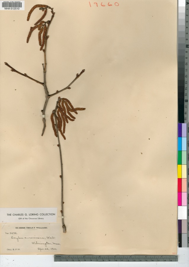
Specimen of Corylus americana WalterCorylus americana Walter1900E. F. Williams
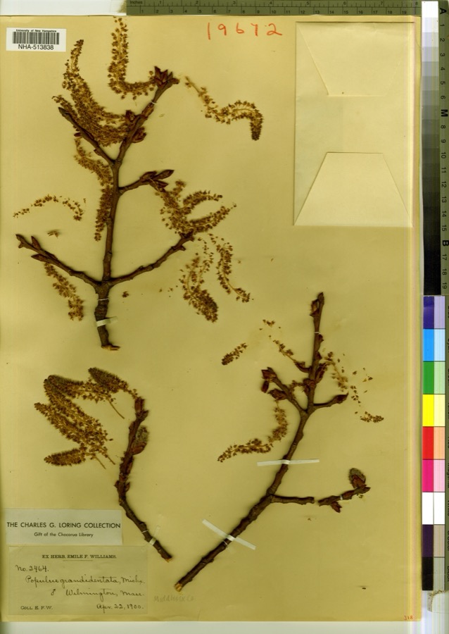
Specimen of Populus grandidentata Michx.Populus grandidentata Michx.1900E. F. Williams
A photograph of the species Rhodocollybia prolixa, not of this specimenRhodocollybia prolixa var. distorta (Fr.) AntonĂ­n, Halling & Noordel.1800R. B. MackintoshPeabody
Erysiphaceae1803A. B. Seymour
A photograph of the species Viola labradorica, not of this specimenViola labradorica Schrank1816not recordedAndover Turnpike, 6 miles from Boston U.S.A.
A photograph of the species Brasenia schreberi, not of this specimenBrasenia schreberi J.F.Gmel.1821not recordedPleasant Pond, Wenham, Mass.
A photograph of the species Diphyscium foliosum, not of this specimenDiphyscium foliosum (Hedw.) D.Mohr1822ALCOTT
A photograph of the species Arcyria oerstedii, not of this specimenArcyria oerstedii Rostaf., 18751826F. A. Gilbert
A photograph of the species Glyceria obtusa, not of this specimenGlyceria obtusa (Muhl.) Trin.1838W Oakes
A photograph of the species Euphorbia polygonifolia, not of this specimenEuphorbia polygonifolia L.1840Wolle, J.Ipswich
A photograph of the species Iva frutescens, not of this specimenIva frutescens L.1840Oakesad Ipswich
A photograph of the species Potentilla anserina, not of this specimenPotentilla anserina L.1840Wolle, J.Ipswich

All 6,399 specimens within 10 miles, at the Global Biodiversity Information Facility.

Mines and quarries near this property

8 within 5 miles

Regional context, not property-specific evidence. The federal mineral resources record lists 8 workings within 5 miles of Deacon Edward Putnam Jr. House: 4 past producers, 2 producers, 2 plants. 4 still produce. What was taken out: Stone, Crushed/Broken, Sand and Gravel, Construction, Thorium, Tungsten. Distance is straight-line from the map coordinates, so a quarry counted here may appear on a neighbouring settlement's page as well.

Where SiteCommodity StatusRecorded
Hale Engineering Co--Danvers, Ma.TungstenPlant
Harriman MineSulfurPast Producer
Thiokol Ventron Div--Danvers, Ma.ThoriumPlant
Camillieri Corp PitSand and Gravel, ConstructionPast Producer
Donald Innis IncSand and Gravel, ConstructionPast ProducerSedimentary
Danvers QuarryStone, Crushed/BrokenProducer
Essex Bituminous Concrete ProductsStone, Crushed/BrokenPast ProducerSedimentary
Peabody QuarryStone, Crushed/BrokenProducer

Every working recorded in Essex County

Storms near this property

17 since 1996

Regional context, not property-specific evidence. The National Weather Service names Middleton, the town this property stands in, in 17 storm reports between 1996 and 2025: 6 thunderstorm wind, 4 flood, 3 flash flood, 3 hail. No death or injury is recorded in these reports. Each account below is quoted exactly as the forecast office filed it, from the NOAA Storm Events Database, and each date opens the federal record of that event.

WhenEvent Place namedHarm What the report says
June 2005LightningMiddleton$60,000no account filed
September 2018Flash FloodSouth Middleton$5,000At 10:40 AM EST, a garage on Belleview Avenue in Middleton was flooded.
June 2017Thunderstorm WindMiddleton$5,000At 118 PM EST, trees and wires were down on Jenkins Road at the entrance of Camp Evergreen Day Camp in Andover, MA.
August 2020Thunderstorm WindMiddleton$3,500In Middleton, a tree was down on a house on Oak Rd.
September 2023Thunderstorm WindSouth Middleton$2,000In Peabody, there were a tree and wires down on Hamilton Rd and a tree on a vehicle on Lexington Ave.
June 2017FloodSouth Middleton$1,000At 447 PM EST, rain caused twelve inches of water on Boston Street in Middleton.
July 2025Thunderstorm WindMiddleton$800In Middletown a tree and wires were down.
July 2021Thunderstorm WindMiddleton$500In Middleton, a tree was down on Peabody Street at Mill Street.
September 2020FloodMiddleton-In Middleton, the intersection of East Street and Towne Road was flooded and impassable.
November 2018FloodMiddleton-In Middleton, there was significant flooding on a portion of Maple Street.
September 2018Flash FloodSouth Middleton-At 11:03 AM EST, a car was trapped in floodwaters in Lynnfield at the intersection of Main Street and Lowell Street.
June 2017HailMiddleton-At 434 PM EST, nickel size hail was covering the ground and making roads slick in Middleton, MA.
December 2014FloodSouth Middleton-Roosevelt Avenue at Russell Street was closed due to flooding.
July 2007Thunderstorm WindMiddleton-Trees and wires down on Essex Street.
July 2007HailMiddleton-Penny size hail.
July 2004HailMiddleton-no account filed
October 1996Flash FloodSouth Middleton-no account filed

Every storm recorded in Essex County

Maps showing this location

17 surveys

United States Geological Survey topographic sheets whose coverage includes this point. Matched by taking the coordinate the National Park Service records for this property, then testing that coordinate against the published boundary of every sheet.

From the nomination file

1,318 words on record

When this property was proposed for the National Register, someone wrote the case for it: what the building is, and why it matters. That document is a federal record in the public domain. It is reproduced in full on its own page, word for word and never summarised. The text was read off the scanned case file by machine, so the occasional stray character is the recogniser's and the 1970s typewriter's.

The whole case file for this property - 1,318 words, 11 pages, reproduced complete.

Quoted from the National Register nomination for reference 90000243, 11 pages, held by the National Archives in Record Group 79. See the catalogue record.

Listed places nearby

6 within 8 miles

Other National Register properties close enough to walk or drive between, ordered by distance from this one. Both positions come from the same geocoding pass that matched these properties to their map sheets.

Photograph PropertyDistance Listed
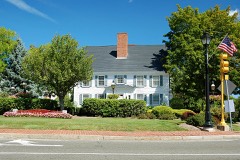
White-Preston House0.7 miles1990
Lieut. Thomas Fuller House1.1 miles1990
Estey Tavern1.2 miles1989
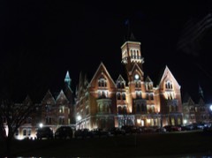
State Lunatic Hospital at Danvers1.2 miles1984
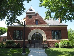
Flint Public Library1.2 miles2002
Gen. Israel Putnam House1.5 miles1976

Sources for this property

National Archives recordThe nomination case file for reference 90000243 in Record Group 79.
Wikipedia articleCommunity-written account of this property, licensed CC BY-SA.
Essex CountyAll 480 listed properties in this county.

Provenance

  • Listing record. National Park Service National Register of Historic Places, listed-properties dataset, current to 2026-05-22.
  • Map join. Address geocoded through the United States Census geocoder, then tested against the published boundary of every sheet in the USGS Historical Topographic Map Collection.
  • How this page is made. Listing fields come from federal records; map-sheet coverage is a labelled coordinate-to-boundary calculation, not a source-field claim.
  • Wildfire. Short, Karen C. 2022. Spatial wildfire occurrence data for the United States, 1992-2020 [FPA_FOD_20221014]. 6th Edition. Fort Collins, CO: Forest Service Research Data Archive. https://doi.org/10.2737/RDS-2013-0009.6 Collected with United States Government funding and usable without additional permissions or fees.
  • Specimens. Global Biodiversity Information Facility (GBIF), https://www.gbif.org/. Only records licensed CC0 or CC BY are used. Records licensed CC BY-NC are excluded because this site carries advertising. Images are checked individually and any whose licence is non-commercial, no-derivatives or unreadable is refused.
  • Mines and quarries. USGS Mineral Resources Data System (MRDS) https://mrdata.usgs.gov/mrds/ A work of the United States government, no copyright under 17 U.S.C. 105.
  • Storms. NOAA National Centers for Environmental Information, Storm Events Database https://www.ncei.noaa.gov/stormevents/ A work of the United States government, no copyright under 17 U.S.C. 105. Narratives are quoted verbatim from the National Weather Service report and are not edited or summarised.