National Register reference number.94000414- the number the National Park Service assigned this property when it was listed, and the key its nomination file is catalogued under at the National Archives.
Then and now
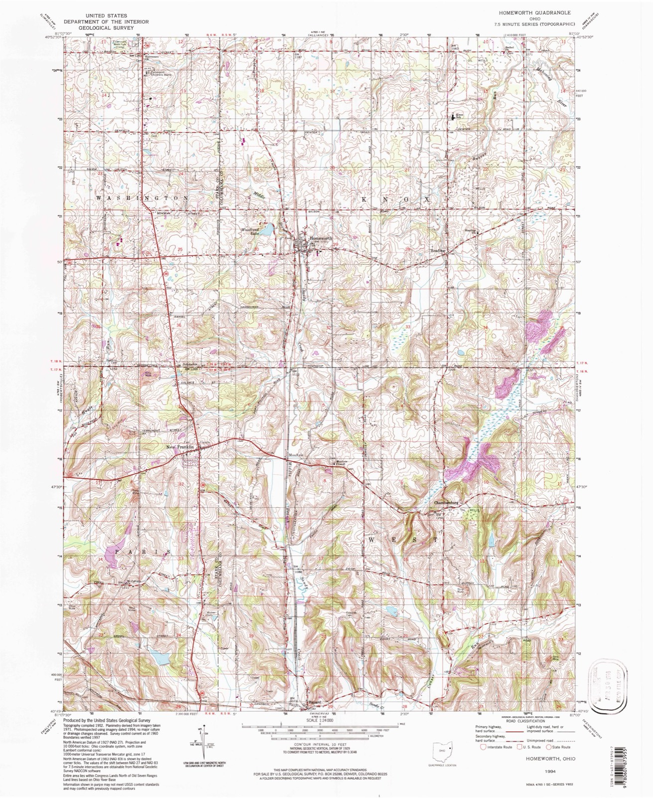
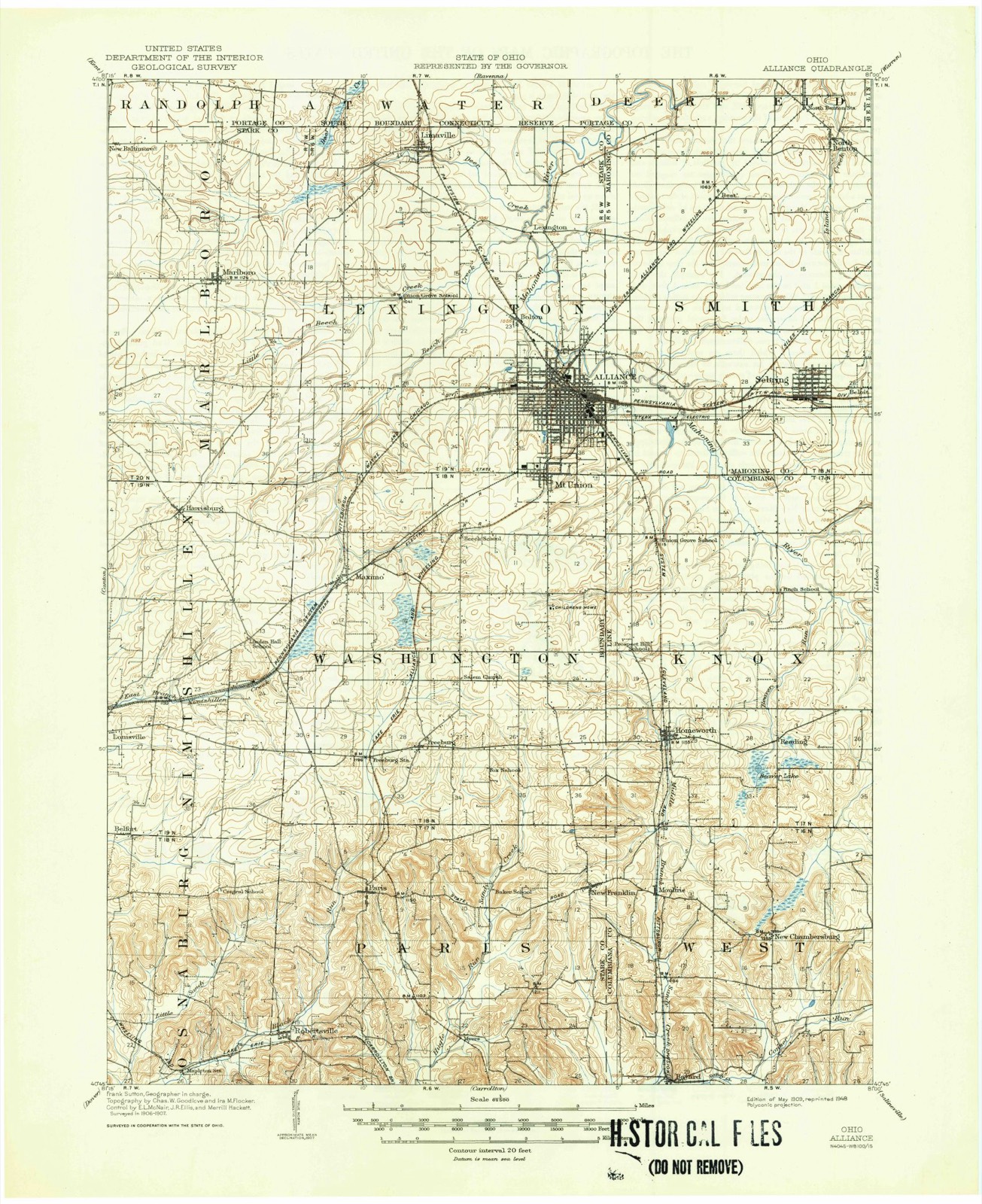
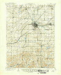
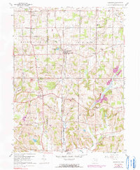
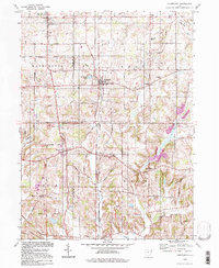
1909 to 1994
The ground this property stands on, surveyed
85 years apart. Drag the handle to wipe between them. Both sheets are
United States Geological Survey originals; neither has been altered.
19091994
The ground it stands on
4,989 words
The chapter on Knox Township in History of Columbiana County, Ohio, published 1879 names Homeworth. This is what it says, exactly as the scans read.
The following physicians are practicing in the township : at Homeworth, Dr. II. B. Trollinger, since 1860-61, who now conducts a drug-store in connection with his practice as a physician ; Dr. George S. Anderson, a graduate of the Starling Medical College, Columbus, Ohio, who began practice in Homeworth about the year 1866.
James Beer, a pensioner of the war of 1812, settled in Wayne township in 1805, and in 1830 removed to Knox, bringing a wife and family. The children were Jane, who married Dr. Joshua Anderson, and lives in Knox township ; John, Margaret, who married Dr. Joseph Dilworth, and lives in Stark County; James, Susan, who married David Ruff ; Hannah, Elizabeth, and Ellen. Mr. Beer still lives in Knox township, at the village of Homeworth.
Regional context, not property-specific
evidence. The
federal wildfire occurrence database
lists 10 fires within 5 miles of Middle Sandy Presbyterian Church
between 2009 and 2020, burning about 7 acres in total. None started naturally. None was recorded as arson.
Distance is straight-line from the map coordinates, so a fire counted
here may appear on a neighbouring settlement's page as well.
Reported cause
Fires
Debris and open burning
6
Equipment and vehicle use
4
The most recent of
them, most recent first, with the day each was reported and the service
that recorded it.
Regional context, not property-specific
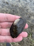
evidence. Museums hold 255 specimens
collected within 10 miles of Middle Sandy Presbyterian Church between 1878 and 1967: 171 Animalia, 83 Plantae, 1 Fungi.
12 distinct Species records are shown.
Collected by Buker, W.E., Buker, W.E.; Henry, L.K., Collector(s): Leonard R. Freeman and others. Each is a
physical object with a catalogue
number, and each entry opens the museum's record. This is what was
collected and kept, not a survey of what lives here - nothing can be
concluded from a species being absent.
Regional context, not property-specific
evidence. The federal mineral resources record lists
4 workings within 5 miles of Middle Sandy Presbyterian Church: 3 past producers, 1 producer.
1 still produces. What was taken out: Clay, Sand and Gravel, Construction, Coal. Distance is straight-line from the
map coordinates, so a quarry counted here may appear on a neighbouring
settlement's page as well.
Regional context, not property-specific
evidence. The National Weather Service names
Homeworth, the town this property stands in, in 18 storm reports between 1995 and 2024: 10 thunderstorm wind, 4 hail, 3 flash flood, 1 lightning.
No death or injury is recorded in these reports. Each account below is quoted exactly as the forecast office
filed it, from the NOAA Storm Events Database, and each date
opens the federal record of that event.
Shortly after 6 PM EDT, Sandy Creek and other streams flooded numerous roads near Homeworth, including Routes 154, 172, 11, and 30. Then at 918 PM EDT, Lisbon reported flooding. By 1030 PM EDT, basements and roads (some closed) were flooded in Hanoverton, where many businesses were also flooded. Evacuation centers were opened for flood victims. Flooding continued into the morning of the 28th. After dawn on 28th, roads that remained closed by flooding were mainly in the western part of Columbiana Co.
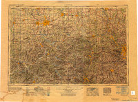
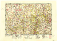
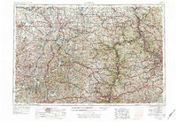
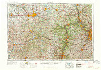
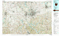
United States Geological Survey topographic
sheets whose coverage includes this point. Matched by taking the coordinate the National Park Service records for this property, then
testing that coordinate against the published boundary of every sheet.
When this property was proposed for the
National Register, someone wrote the case for it: what the building is,
and why it matters. That document is a federal record in the public domain.
It is quoted below word for word, never summarised. The text was read off the scanned case file by machine, so the
occasional stray character is the recogniser's and the 1970s
typewriter's.
Statement of significance
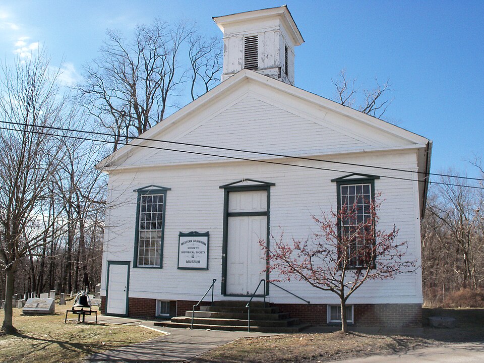
Certifying official has considered the significance of this property in relation to other properties: Applicable National Register Criteria Areas of Significance (enter categories from instructions) Period of Significance Significant Dates Thomas & Arnold & Co. Middle Sandy Presbyterian Church in Homeworth, Ohio is significant under Criterion C in the area of architecture..Itis a simple yet elegant and well-proportioned example of Greek Revival style architecture Built in 1853 and 1854, the church is an imposing example of Greek Revival style architecture, displaying entablatures, pilasters, entrances and windows all conform to the standards of the period and display a mastery of the style. Noteworthy is the presence of returns and a raked cornice at the rear elevation.
The fully articulated front pediment is especially impressive. Another prominent feature of the original design are the pedimented hood moldings over the front windows and central entrance. The loss of the central spire, probably over one hundred years ago, does not seriously impact the integrity of the original design visually effective central feature by virtue of its large size and fine proportions. Other changes over the additions that do not detract from the original character but instead add visual and historic interest to the The Howe truss that forms the dramatic centerpiece to the massive structural system was first patented in 1841. It was used in this building twelve years later.
Quoted from the National Register nomination
for reference 94000414, 15 pages, held by the National Archives in Record
Group 79. See the
catalogue record.
Listing record. National Park Service National Register of Historic Places, listed-properties dataset, current to 2026-05-22.
Map join. Address geocoded through the United States Census geocoder, then tested against the published boundary of every sheet in the USGS Historical Topographic Map Collection.
How this page is made. Listing fields come from federal records; map-sheet coverage is a labelled coordinate-to-boundary calculation, not a source-field claim.
Wildfire. Short, Karen C. 2022. Spatial wildfire occurrence data for the United States, 1992-2020 [FPA_FOD_20221014]. 6th Edition. Fort Collins, CO: Forest Service Research Data Archive. https://doi.org/10.2737/RDS-2013-0009.6 Collected with United States Government funding and usable without additional permissions or fees.
Specimens. Global Biodiversity Information Facility (GBIF), https://www.gbif.org/. Only records licensed CC0 or CC BY are used. Records licensed CC BY-NC are excluded because this site carries advertising. Images are checked individually and any whose licence is non-commercial, no-derivatives or unreadable is refused.
Mines and quarries. USGS Mineral Resources Data System (MRDS) https://mrdata.usgs.gov/mrds/ A work of the United States government, no copyright under 17 U.S.C. 105.
Storms. NOAA National Centers for Environmental Information, Storm Events Database https://www.ncei.noaa.gov/stormevents/ A work of the United States government, no copyright under 17 U.S.C. 105. Narratives are quoted verbatim from the National Weather Service report and are not edited or summarised.
 Block