BlockBefore
Decorative drawing: a row of nineteenth-century main-street storefronts. Not a photograph of this place.

Farnum's Gate Historic District

Listed on the National Register of Historic Places in 1995. A historic map-sheet match is not published yet. The record needs a coordinate-quality review before it can be joined to a sheet boundary.

From the record

one of 500 National Register listings in Worcester County · listed in 1995 · category: District · one of 1 National Historic Landmarks in Worcester County.

Sources: the case file at the National Archives · the National Register database, National Park Service

The listing

  • What is counted as historic. The nomination lists 27 buildingss, 1 structure as contributing to the listing.
  • Address. Roughly, area surrounding the jct. of Main and Blackstone Sts., Blackstone, 01504
  • When was it listed? 1995-08-25
  • Category. district
  • Township. Blackstone town
  • National Register reference number. 95001039 - the number the National Park Service assigned this property when it was listed, and the key its nomination file is catalogued under at the National Archives.

Fires near this property

71 since 2002

Regional context, not property-specific evidence. The federal wildfire occurrence database lists 71 fires within 5 miles of Farnum's Gate Historic District between 2002 and 2020, burning about 55 acres in total. None started naturally. 10 were recorded as arson. Distance is straight-line from the map coordinates, so a fire counted here may appear on a neighbouring settlement's page as well.

Reported cause Fires
Missing data/not specified/undetermined23
Debris and open burning19
Arson/incendiarism10
Smoking9
Recreation and ceremony8
Railroad operations and maintenance1
Other causes1

The most recent of them, most recent first, with the day each was reported and the service that recorded it.

DateCause SizeReported by Name on the report
8 September 2018Debris and open burningunder an acreMassachusetts Bureau of Forest Fire Controlnot named
3 September 2018Debris and open burningunder an acreMassachusetts Bureau of Forest Fire Controlnot named
29 September 2002Recreation and ceremonyunder an acreMassachussetts State Fire Marshal's Officenot named
27 September 2002Missing data/not specified/undetermined1.0 acresMassachussetts State Fire Marshal's Officenot named
21 September 2020Missing data/not specified/undeterminedunder an acreMassachusetts Bureau of Forest Fire Controlnot named
21 September 2020Missing data/not specified/undetermined1.4 acresMassachusetts Bureau of Forest Fire Controlnot named

Every fire recorded in Worcester County

Specimens collected near this property

12 of 264 shown

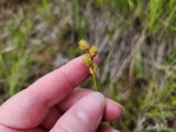
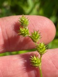
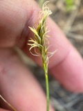
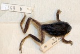
Regional context, not property-specific evidence. Museums hold 264 specimens collected within 10 miles of Farnum's Gate Historic District between 1844 and 1974: 130 Plantae, 97 Animalia, 23 Fungi, 9 Protozoa, 3 Unrecorded, 2 Chromista. 12 distinct Species records are shown. Collected by A. B. Seymour, A. R. Hodgdon; F. L. Steele, A. R. Hodgdon; F. L. Steele and others. Each is a physical object with a catalogue number, and each entry opens the museum's record. This is what was collected and kept, not a survey of what lives here - nothing can be concluded from a species being absent.

Image SpeciesYear Collected by Where, as recorded
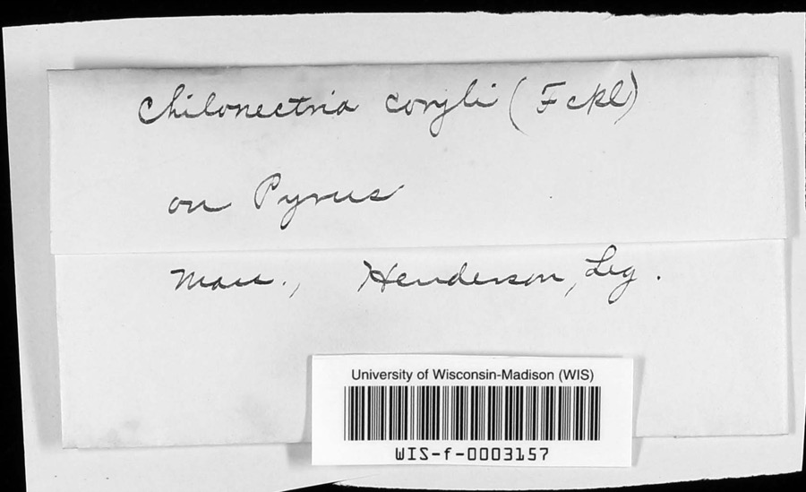
Specimen of Chilonectria coryli (Fuckel) Ellis & Everh.Chilonectria coryli (Fuckel) Ellis & Everh.1896Henderson
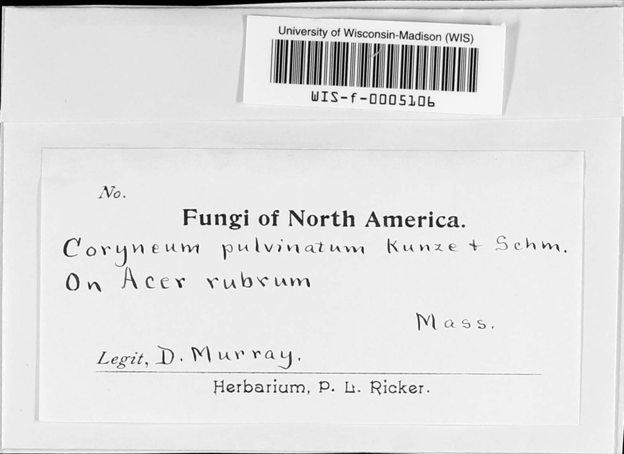
Specimen of Coryneum pulvinatum KunzeCoryneum pulvinatum Kunze1897D. Murray
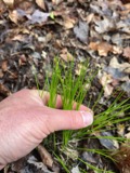
A photograph of the species Trichophorum planifolium, not of this specimenTrichophorum planifolium (Spreng.) Palla1844Collector unspecifiedUxbridge
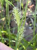
A photograph of the species Carex vesicaria, not of this specimenCarex vesicaria L.1848J. W. Robbins
A photograph of the species Potamogeton epihydrus, not of this specimenPotamogeton epihydrus Raf.1848J. W. RobbinsUxbridge
A photograph of the species Potamogeton bicupulatus, not of this specimenPotamogeton bicupulatus Fernald1854W. J. RobbinsUxbridge
A photograph of the species Carex brevior, not of this specimenCarex brevior (Dewey) Mack.1855J. W. Robbins
A photograph of the species Carex normalis, not of this specimenCarex normalis Mack.1855J. W. Robbins
A photograph of the species Carex siccata, not of this specimenCarex siccata Dewey1855J. W. Robbins
A photograph of the species Carex straminea, not of this specimenCarex straminea Willd. ex Schkuhr1855J. W. Robbins
A photograph of the species Hyla versicolor, not of this specimenHyla versicolor LeConte, 18251857Weinland, David Friedrich
Sterna hirundo hirundo Linnaeus, 17581892Babbitt, J PMassachusetts

All 264 specimens within 10 miles, at the Global Biodiversity Information Facility.

Mines and quarries near this property

4 within 5 miles

Regional context, not property-specific evidence. The federal mineral resources record lists 4 workings within 5 miles of Farnum's Gate Historic District: 4 past producers. None of them still produces. What was taken out: Sand and Gravel, Construction. Distance is straight-line from the map coordinates, so a quarry counted here may appear on a neighbouring settlement's page as well.

Where SiteCommodity StatusRecorded
Candlewood Recreation AreaSand and Gravel, ConstructionPast Producer
Helca PitSand and Gravel, ConstructionPast Producer
Oliveira PitSand and Gravel, ConstructionPast Producer
Town of UxbridgeSand and Gravel, ConstructionPast ProducerSedimentary

Every working recorded in Worcester County

Storms near this property

11 since 1999

Regional context, not property-specific evidence. The National Weather Service names Blackstone, the town this property stands in, in 11 storm reports between 1999 and 2020: 3 thunderstorm wind, 3 flood, 2 flash flood, 1 heavy rain. The reports record 1 injury. Each account below is quoted exactly as the forecast office filed it, from the NOAA Storm Events Database, and each date opens the federal record of that event.

WhenEvent Place namedHarm What the report says
July 2004LightningBlackstone1 hurtno account filed
August 2003Thunderstorm WindBlackstone$10,000no account filed
May 2018FloodEast Blackstone$5,000At 5:23 PM EST, Main Street in Blackstone was flooded and impassable. A car was trapped in the floodwaters and towed out.
June 2015Thunderstorm WindEast Blackstone$5,000A tree was downed onto wires at the intersection of Milk and Chestnut Streets in Blackstone.
June 2020Flash FloodBlackstone$4,000In Blackstone, two cars were stuck in flood waters on Rathbun Street. Roadway was impassable.
August 2019Thunderstorm WindEast Blackstone$1,000In Blackstone, a tree was down on Federal Street near the Hartnett Middle School. Trees and wires were down on Farm Street.
August 2019FloodBlackstone$500In Blackstone, a car was stuck in flood waters on Rathbun Street.
July 2018Flash FloodBlackstone-At 4:22 pm EST heavy rain in Blackstone made Rathbun Street at Champlain Avenue flooded and impassable.
November 2018FloodEast Blackstone-In Blackstone, Main Street was closed due to flooding. A car was stuck in flood waters on Main Street near CVS Pharmacy.
June 2006HailBlackstone-no account filed
September 1999Heavy RainBlackstone-no account filed

Every storm recorded in Worcester County

Map coverage status

No historic map-sheet match is published for this property yet. That does not mean no map exists. This record needs a coordinate-quality review before it can be joined to a sheet boundary. Browse the county's mapped places while that work is pending.

Listed places nearby

6 within 8 miles

Other National Register properties close enough to walk or drive between, ordered by distance from this one. Both positions come from the same geocoding pass that matched these properties to their map sheets.

Photograph PropertyDistance Listed
Blackstone Viaduct0.3 miles2002
Thayer, Benjamin, House1.7 miles2009
Chestnut Hill Meetinghouse3.0 miles1984
Ironstone Mill Housing and Cellar Hole4.0 miles1983
Farnum, William and Mary, House4.1 miles1984
Richardson, Dexter, House4.2 miles1983

Sources for this property

National Archives recordThe nomination case file for reference 95001039 in Record Group 79.
Worcester CountyAll 500 listed properties in this county.

Provenance

  • Listing record. National Park Service National Register of Historic Places, listed-properties dataset, current to 2026-05-22.
  • Map join. Address geocoded through the United States Census geocoder, then tested against the published boundary of every sheet in the USGS Historical Topographic Map Collection.
  • How this page is made. Listing fields come from federal records; map-sheet coverage is a labelled coordinate-to-boundary calculation, not a source-field claim.
  • Wildfire. Short, Karen C. 2022. Spatial wildfire occurrence data for the United States, 1992-2020 [FPA_FOD_20221014]. 6th Edition. Fort Collins, CO: Forest Service Research Data Archive. https://doi.org/10.2737/RDS-2013-0009.6 Collected with United States Government funding and usable without additional permissions or fees.
  • Specimens. Global Biodiversity Information Facility (GBIF), https://www.gbif.org/. Only records licensed CC0 or CC BY are used. Records licensed CC BY-NC are excluded because this site carries advertising. Images are checked individually and any whose licence is non-commercial, no-derivatives or unreadable is refused.
  • Mines and quarries. USGS Mineral Resources Data System (MRDS) https://mrdata.usgs.gov/mrds/ A work of the United States government, no copyright under 17 U.S.C. 105.
  • Storms. NOAA National Centers for Environmental Information, Storm Events Database https://www.ncei.noaa.gov/stormevents/ A work of the United States government, no copyright under 17 U.S.C. 105. Narratives are quoted verbatim from the National Weather Service report and are not edited or summarised.