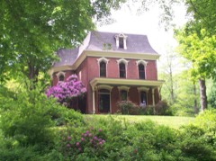
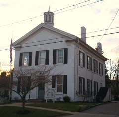
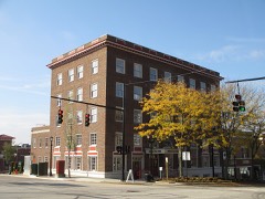
Listed on the National Register of Historic Places in
1995. A historic map-sheet match is not published yet. The record needs a coordinate-quality review before it can be joined to a sheet boundary.
From the record
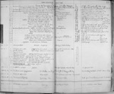
“As the bell announced the arrival of tbe 1926- 1927 school year, Garrettsville pupils found all of the previous year's faculty back on the job with renewed vigor, However, this does not mean there were no new faces among the faculty, for the Board of Education presented us with one and one-half new teachers. The other half teacher Windham, i. e, Mr.”
1927 Portage County High School Yearbook (1927). Machine-read text.
one of 42 National Register listings in Portage County · listed in 1995 · category: Building.
National Register reference number.95001157- the number the National Park Service assigned this property when it was listed, and the key its nomination file is catalogued under at the National Archives.
A gymnasium class under the direction of Miss Helen Blake, of Kent State College, was also started in November, The girls of the Fifth, Sixth, Seventh and Eighth Grades are included. The class is conducted on Thursday and Friday of each week, Basketball, relays, singing, games, marching, and folkdances are enjoyed, Miss Blake is an excellent gym teacher and the girls in her classes have progressed very rapidly.
As the bell announced the arrival of tbe 1926- 1927 school year, Garrettsville pupils found all of the previous year's faculty back on the job with renewed vigor, However, this does not mean there were no new faces among the faculty, for the Board of Education presented us with one and one-half new teachers. The other half teacher Windham, i. e, Mr. Dwight Brocklehurst teaches Manual Training at Windham each forenoon and the same line at Garrettsville in the afternoon, "The Board may say he is only half a teacher, but the boys say he is "all there." The other new face really is not new at all, as it is the property of Miss Marian Hill who graced the G. H. 8, gradunting class of 1923, She spent the next two years at Kent State Normal College and the following one teaching in the primary department of the Allan schools from where she was re-ca'led to assist in the first four grades of our school. In addition to the year of experience she has worked with her sister, Miss Leafah Hill, for severa] summers conducting the Garrettsville Kindergarten. "The remainder of the faculty is, "as was," Grades ] and 2, Miss Hill; 3 and 4, Mrs. Ryder; 5 and 6, Miss Backus; 7 and 8, Mrs. Everett; Home Ec., Mies Jones; Grade Geography, H. 8. History and Librarlan, Mrs. Alford; French and Latin, Miss Blanchard; English, Miss Derry; Mathematics, Prineipal, J. O. Fox; Chemistry, Supt. R. R. Peck.
Regional context, not property-specific
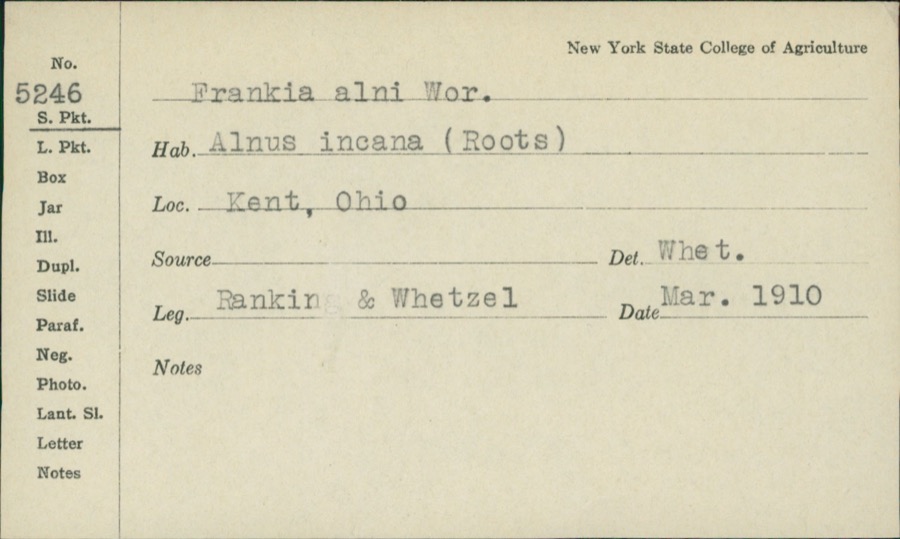
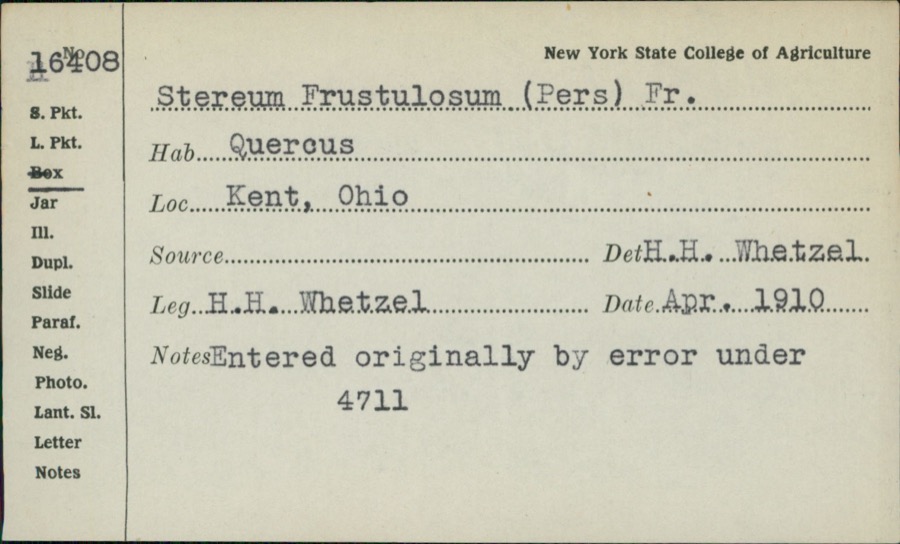
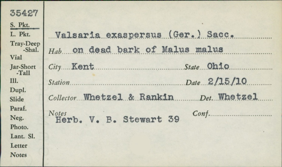
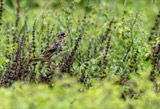
evidence. Museums hold 994 specimens
collected within 10 miles of Olin, Arvin, House between 1883 and
1975: 715 Animalia, 239 Plantae, 33 Fungi, 5 Unrecorded, 1 Protozoa, 1 Bacteria. 12 distinct Species records are shown.
Collected by A. D. Huryn, A. F. Clewell, A. K. Wyatt and others. Each is a
physical object with a catalogue
number, and each entry opens the museum's record. This is what was
collected and kept, not a survey of what lives here - nothing can be
concluded from a species being absent.
Regional context, not property-specific
evidence. The federal mineral resources record lists
16 workings within 5 miles of Olin, Arvin, House: 10 producers, 5 past producers, 1 plant.
11 still produce. What was taken out: Sand and Gravel, Construction. Distance is straight-line from the
map coordinates, so a quarry counted here may appear on a neighbouring
settlement's page as well.
Regional context, not property-specific
evidence. The National Weather Service names
Kent, the town this property stands in, in 34 storm reports between 1994 and 2025: 25 thunderstorm wind, 8 hail, 1 flash flood.
No death or injury is recorded in these reports. Each account below is quoted exactly as the forecast office
filed it, from the NOAA Storm Events Database, and each date
opens the federal record of that event.
A thunderstorm downburst with winds estimated at 85 to 95 mph hit the west side of Kent. The area affected by the downburst was one quarter wide mile and approximately a mile in length. Several hundred trees and 40 power poles were downed. A total of 25 homes were damaged including four that were declared unhabitable. In addition, a camper and over a dozen automobiles were crushed by fallen trees. Widespread power outages occurred and a state of emergency was put in effect because of the widespread and severe damage.
Widespread flash flooding in Kent and Ravenna. Several roads flooded and impassable with several feet of standing water, including OH-59 between downtown Ravenna and OH-44. Dispatch received 30 calls to assist motorists stranded in flood waters. Widespread basement flooding reported. Radar estimates and gauge measurements indicate 3 to 3.25 inches of rainfall in a two hour period.
Thunderstorm winds downed between 15 and 20 trees in Kent and surrounding Franklin Township. Two houses in Kent were damaged by fallen trees. Both houses sustained roof damage with one also having a wall knocked down.
Members of the public and social media indicated tree damage in Kent. Two trees were downed on Riverbend Trail and three trees were downed in Artemis Drive Park.
Trained spotter's personal weather station recorded a peak convective gust of 80 mph about 1.5-miles southwest of Kent. Numerous large trees were snapped in the area.
No historic map-sheet match is published
for this property yet. That does not mean no map exists. This record needs
a coordinate-quality review before it can be joined to a sheet boundary.
Browse the county's mapped places while that work is
pending.
From the nomination file
2,164 words on record
When this property was proposed for the
National Register, someone wrote the case for it: what the building is,
and why it matters. That document is a federal record in the public domain.
It is quoted below word for word, never summarised. The text was read off the scanned case file by machine, so the
occasional stray character is the recogniser's and the 1970s
typewriter's.
Statement of significance
Property is associated with the lives of persons X C Property embodies the distinctive characteristics of a type, period, or method of construction or represents the work of a master, or possesses high artistic values, or represents a significant and C D Property has yielded, or is likely to yield (Mark "x" in all the boxes that apply.) - B removed from its original location. - C a birthplace or grave. - D a cemetery. - E a reconstructed building, object, or structure. - F a commemorative property. within the past 50 years.
- preliminary determination of individual listing (36 * State Historic Preservation Office - Other State agency -previously listed in the National Register - Federal agency - previously determined eligible by the National - Local government - University - designated a National Historic Landmark - Other - recorded by Historic American Buildings Survey - recorded by Historic American Engineering Record # 1835-1870 Architecture Bibilography Register Exploration/Settlement Unknown Criteria Considerations religious purposes. Significant Dates Property is: Cultural Affiliation individual distinction. Narrative Statement of Significance 9.
Quoted from the National Register nomination
for reference 95001157, 18 pages, held by the National Archives in Record
Group 79. See the
catalogue record.
Listed places nearby
6 within 8 miles
Other National Register properties close
enough to walk or drive between, ordered by distance from this one. Both
positions come from the same geocoding pass that matched these properties
to their map sheets.
Listing record. National Park Service National Register of Historic Places, listed-properties dataset, current to 2026-05-22.
Map join. Address geocoded through the United States Census geocoder, then tested against the published boundary of every sheet in the USGS Historical Topographic Map Collection.
How this page is made. Listing fields come from federal records; map-sheet coverage is a labelled coordinate-to-boundary calculation, not a source-field claim.
Specimens. Global Biodiversity Information Facility (GBIF), https://www.gbif.org/. Only records licensed CC0 or CC BY are used. Records licensed CC BY-NC are excluded because this site carries advertising. Images are checked individually and any whose licence is non-commercial, no-derivatives or unreadable is refused.
Mines and quarries. USGS Mineral Resources Data System (MRDS) https://mrdata.usgs.gov/mrds/ A work of the United States government, no copyright under 17 U.S.C. 105.
Storms. NOAA National Centers for Environmental Information, Storm Events Database https://www.ncei.noaa.gov/stormevents/ A work of the United States government, no copyright under 17 U.S.C. 105. Narratives are quoted verbatim from the National Weather Service report and are not edited or summarised.
 Block
Block