 Block
From the record
10 National Register listings published here.
Sources: the National Register database, National Park Service
50 topographic sheets and 9 fire insurance atlases across 2 places.
10 National Register listings published here.
Sources: the National Register database, National Park Service
Taken for the Office of War Information and the Farm Security Administration, who photographed the country between 1935 and 1944. Works of United States government photographers, with no known restriction on use. Each opens its catalogue record.
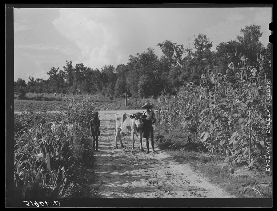
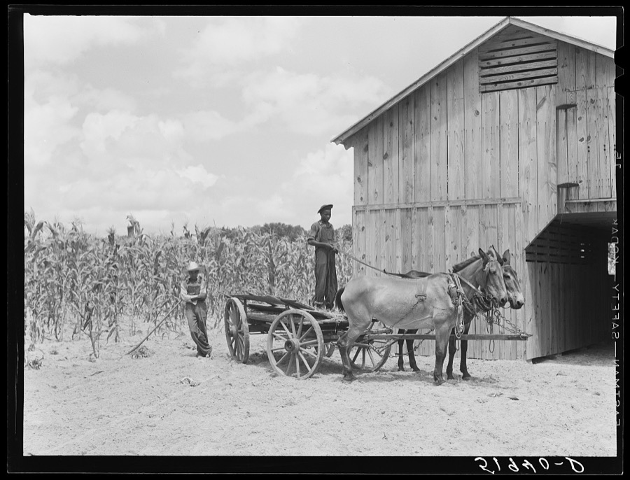
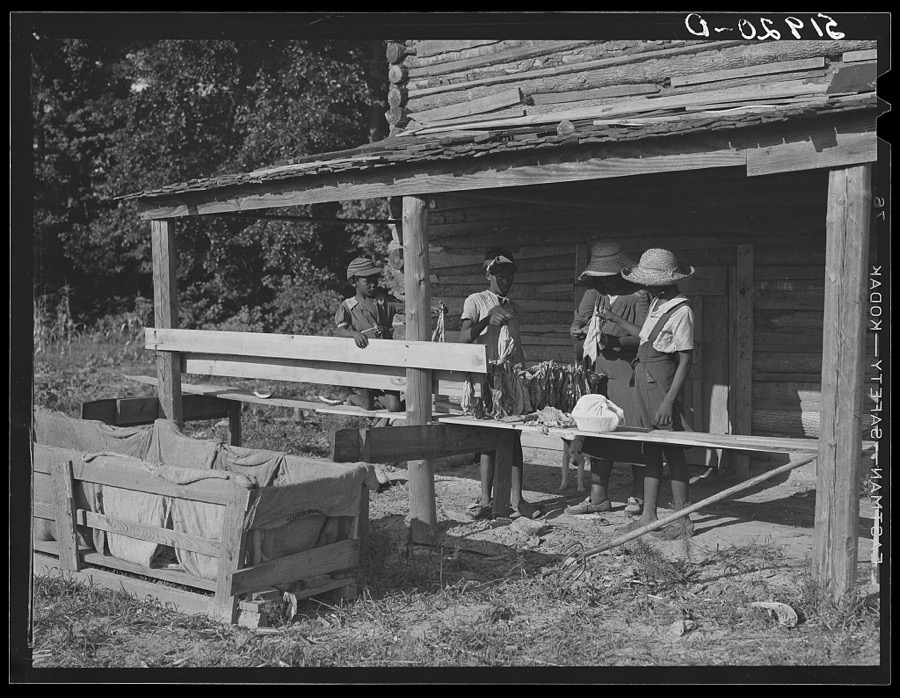
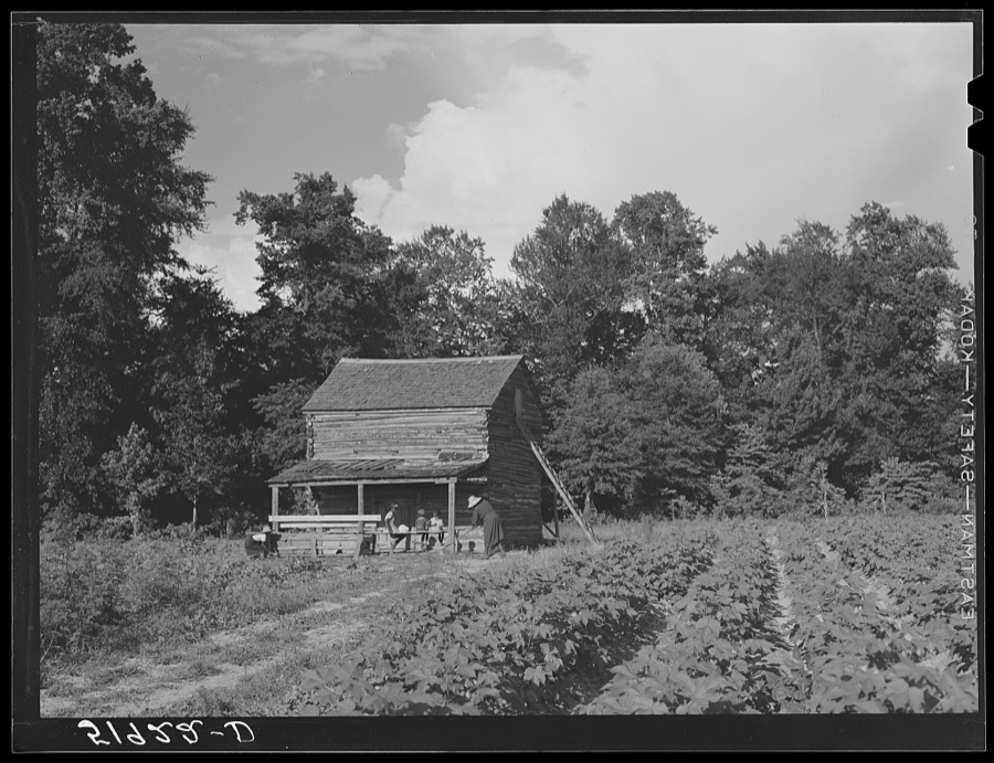
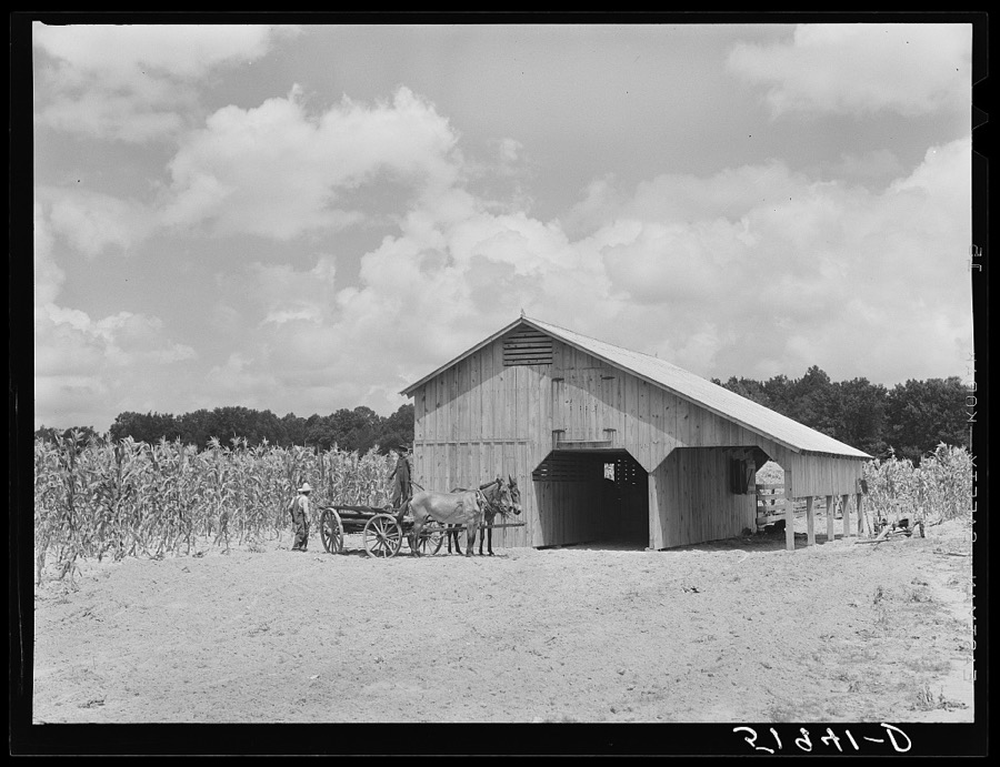
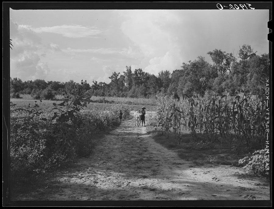
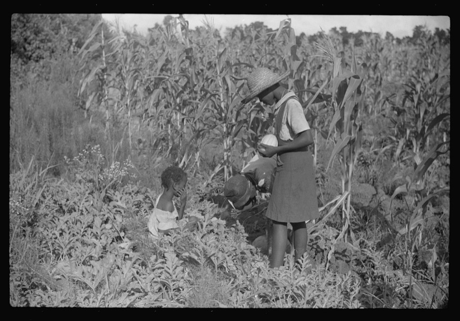
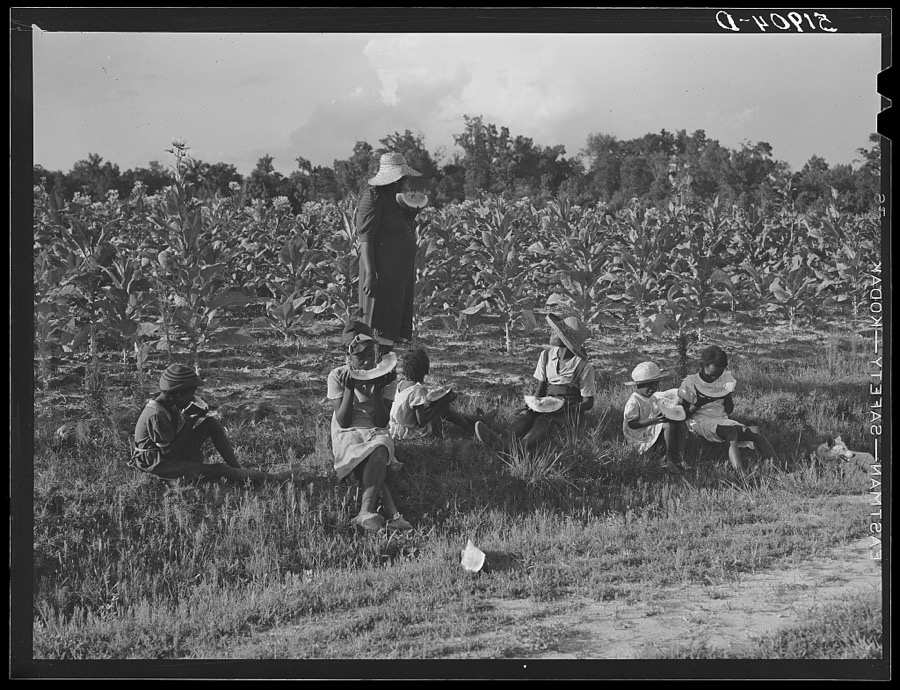

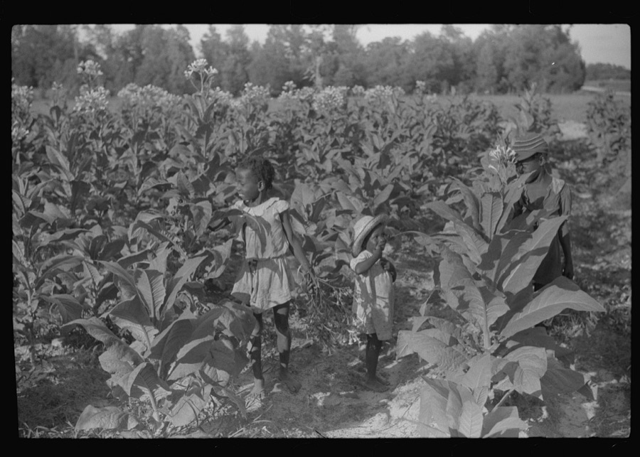
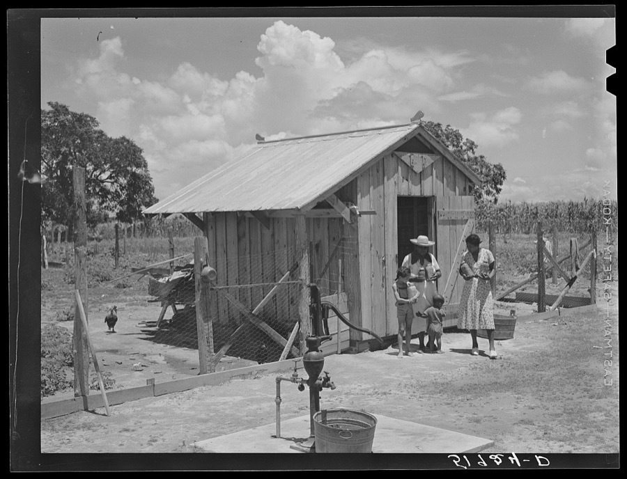
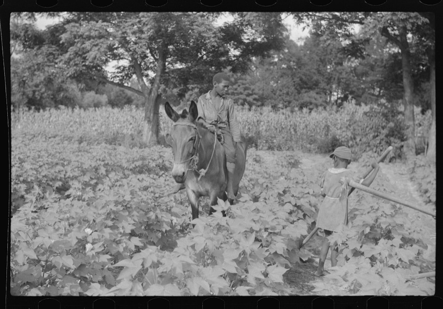
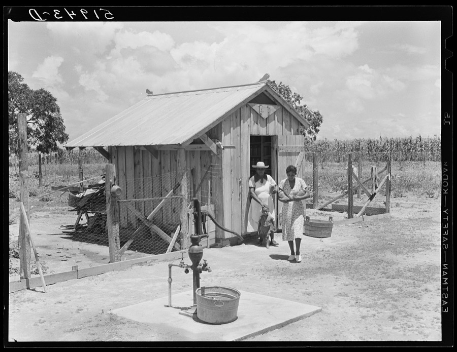
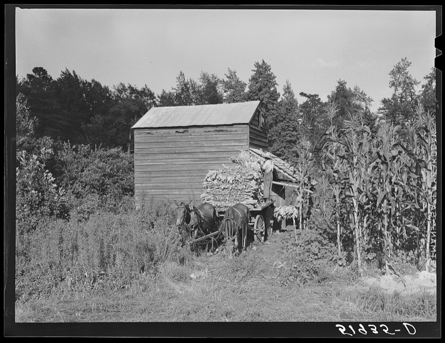


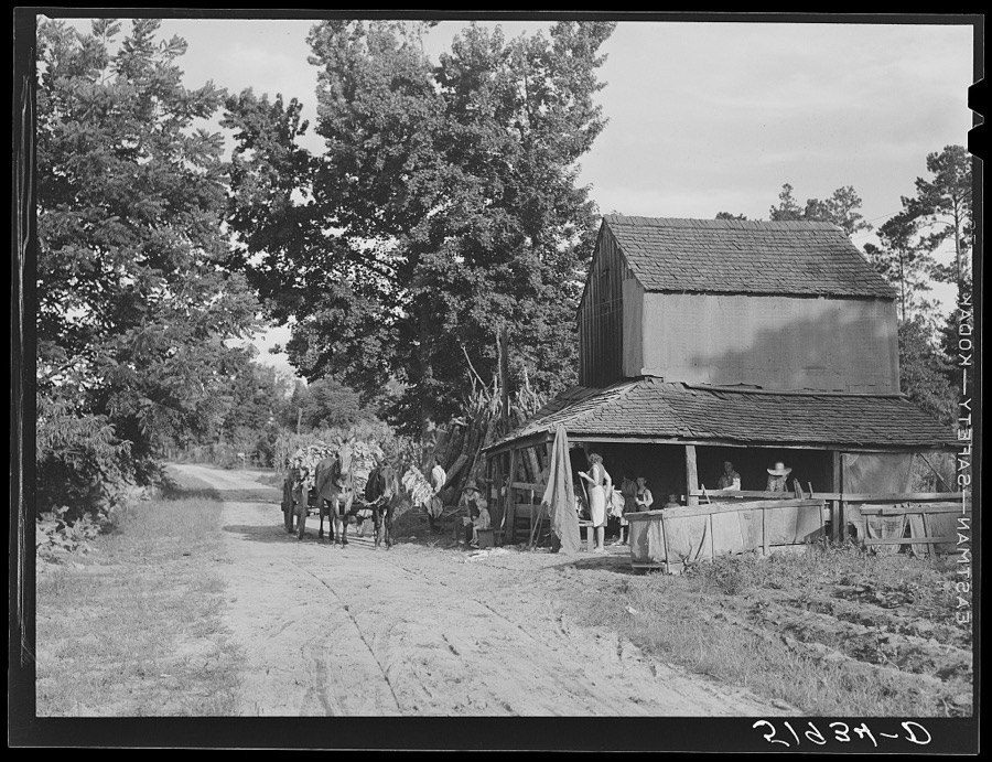
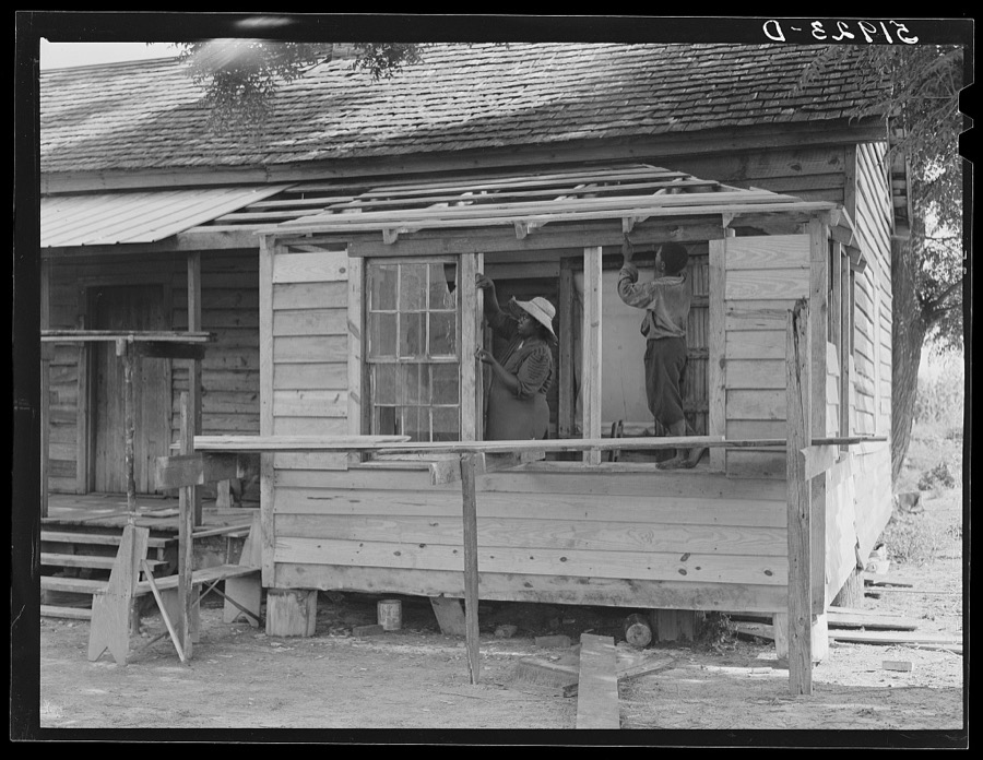

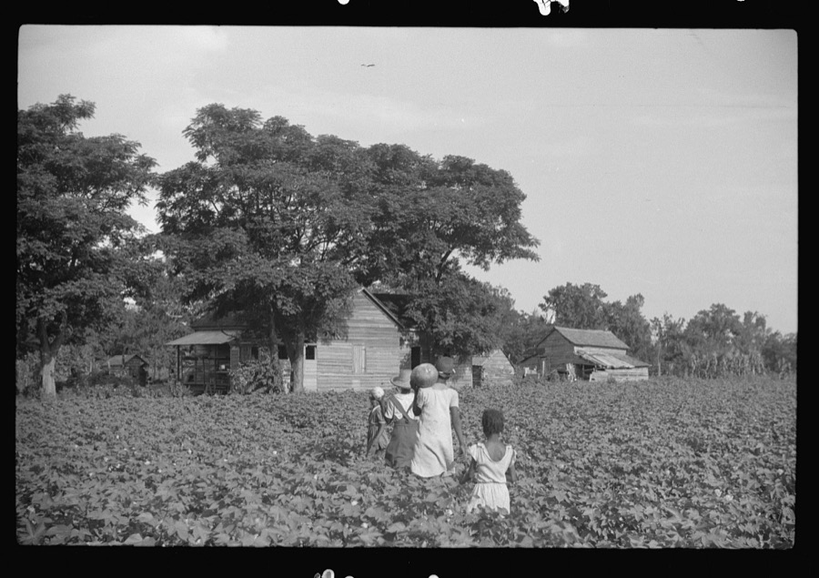
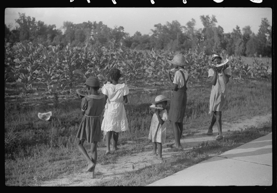



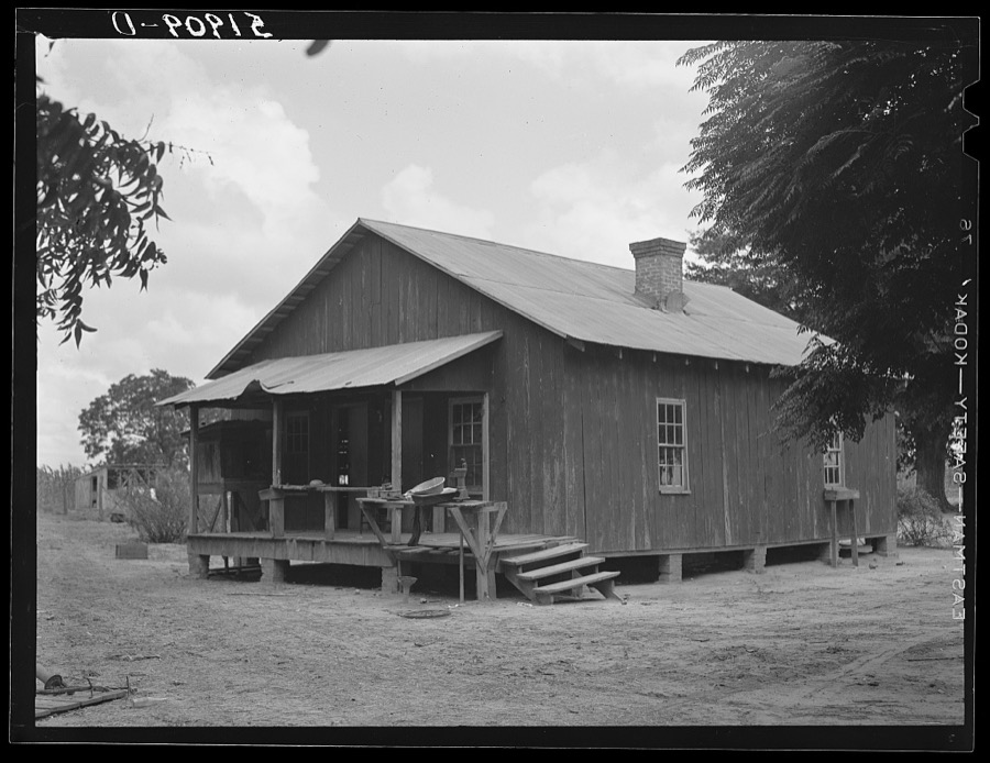
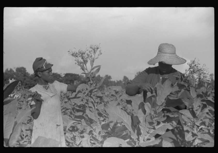
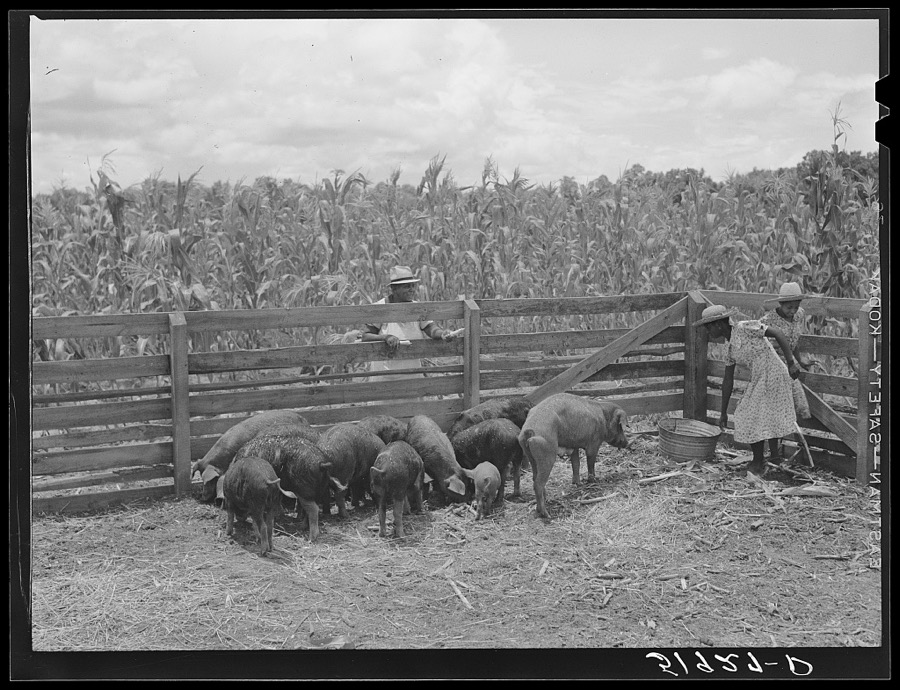
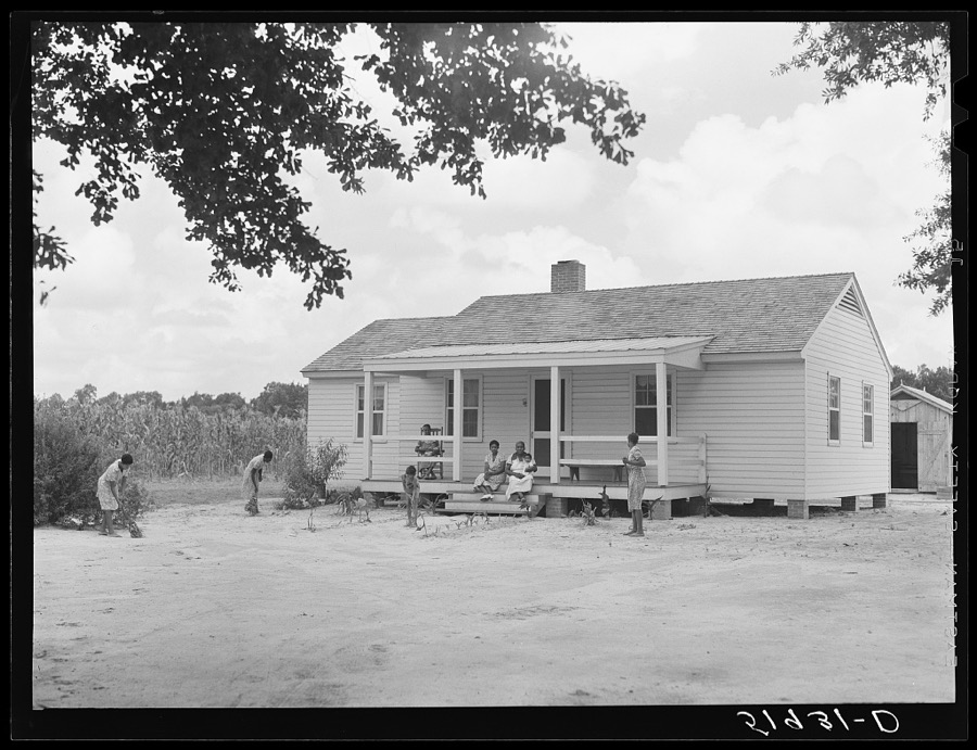
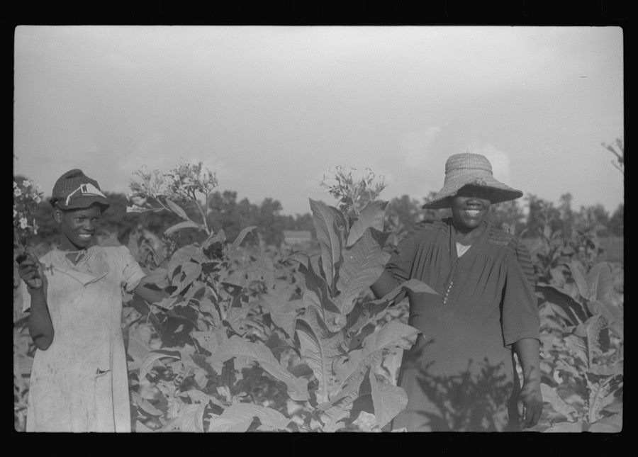
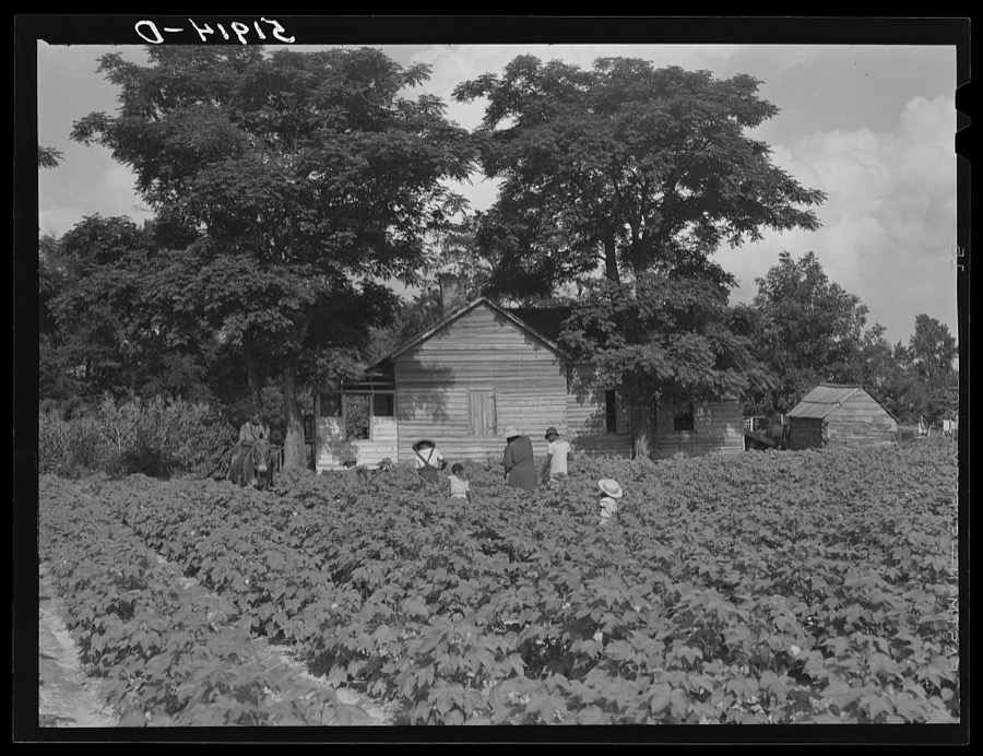
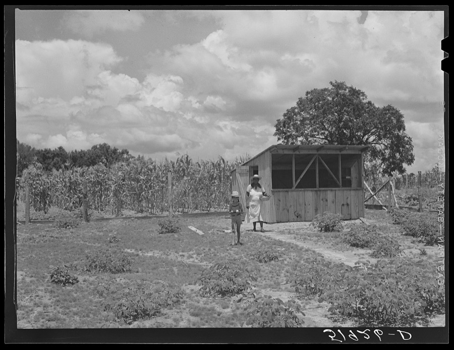
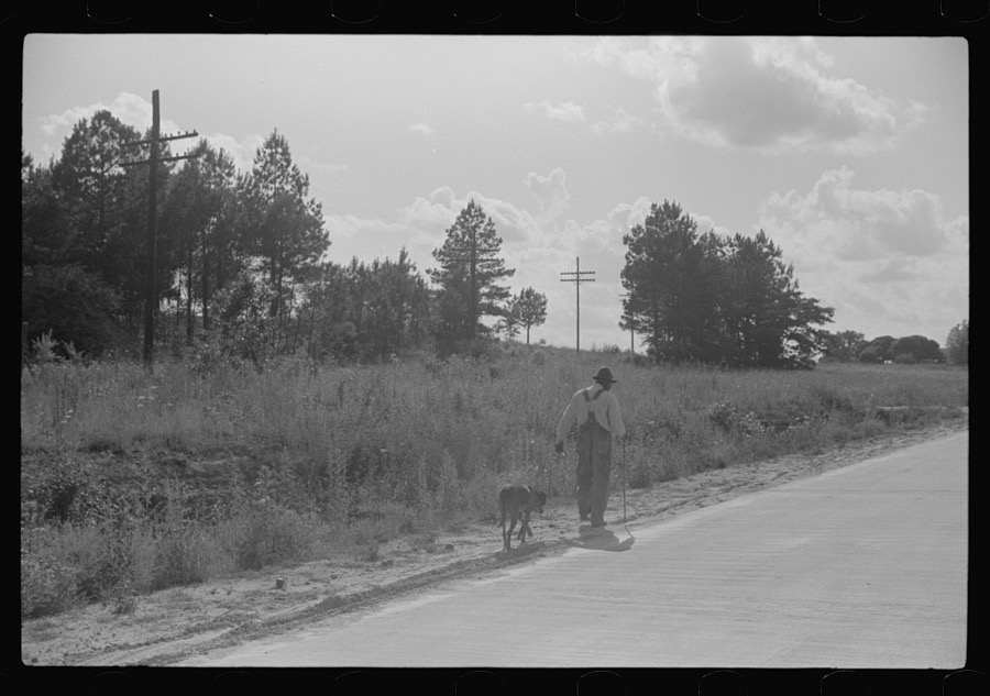

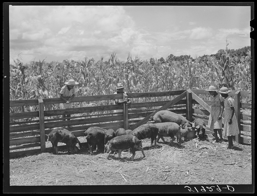
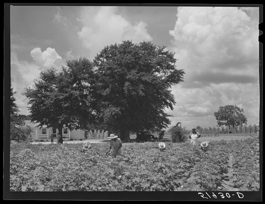
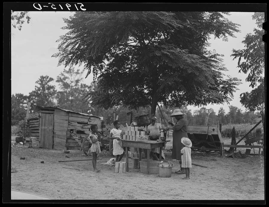
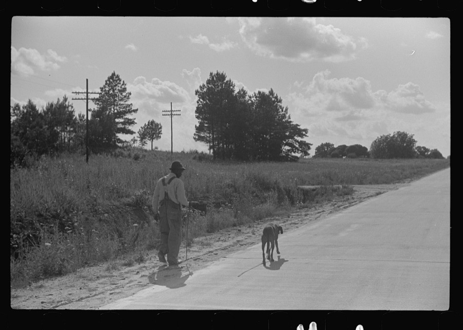
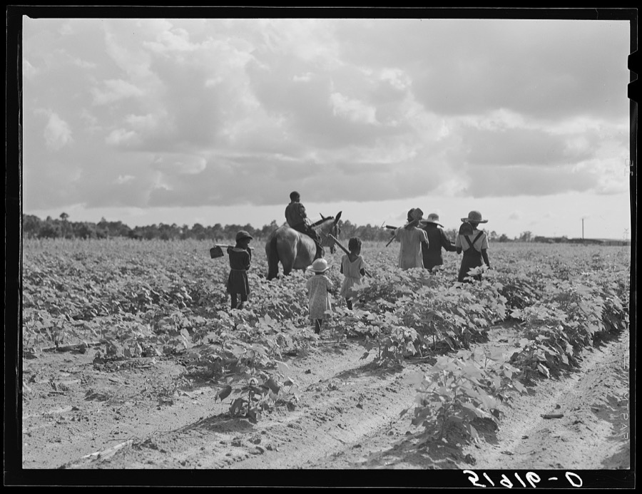
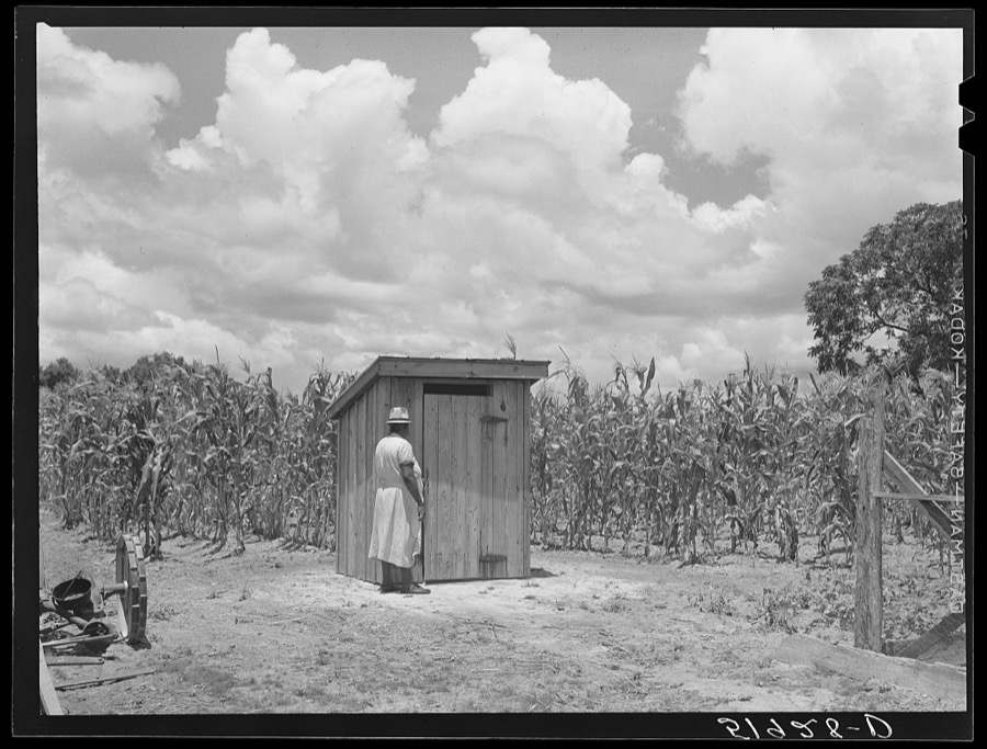
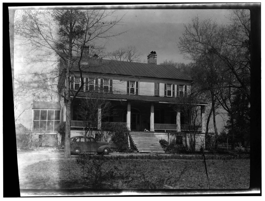
Every property in this county listed on the National Register of Historic Places, with the year it was listed and the federal nomination document.
| Photograph | Property | Type | Listed | Reference |
|---|---|---|---|---|
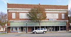 | Alderman's 20 Stores in One | building | 1994 | 94001047 |
| Clarendon County Health Center and Office Building | building | 2022 | 100007767 | |
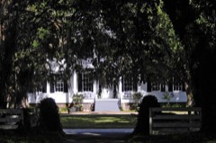 | Davis House | building | 1983 | 83002191 |
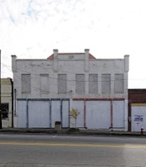 | James Building | building | 2007 | 07000222 |
 | Manning Commercial Historic District | district | 2010 | 10000297 |
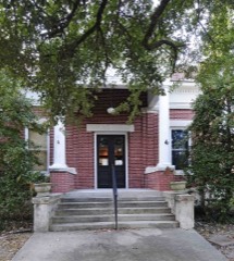 | Manning Library | building | 1979 | 79002381 |
| Pleasant Grove School | building | 2023 | 100009383 | |
| Scott's Branch High School | building | 2023 | 100008990 | |
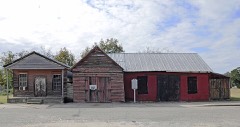 | Senn's Grist Mill-Blacksmith Shop-Orange Crush Bottling Plant | building | 2000 | 00000290 |
 | Summerton High School | building | 1994 | 94001048 |
Sampled issues, machine-read from the Library of Congress scan and published page by page, so every headline and column is searchable text.
Manning, Clarendon County, S.C., 1884 to Current. Machine-read from the Library of Congress scan.
Manning, Clarendon County, S.C., 1884 to Current. Machine-read from the Library of Congress scan.
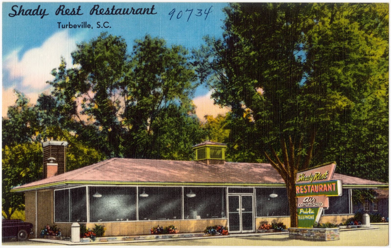
Selected from the Digital Public Library of America's 1 image records catalogued for this county. Every one shown here carries a public-domain status or a licence that permits reuse on a site that carries advertising; non-commercial, share-alike and restricted images are excluded. The selection is spread across the county's towns (at most eight per town), so no single institution's bulk upload crowds out the rest. Each opens the holding library's record, and the complete set at the Digital Public Library of America is one click away.
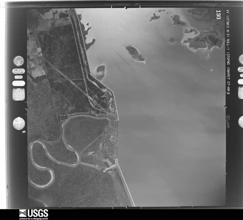
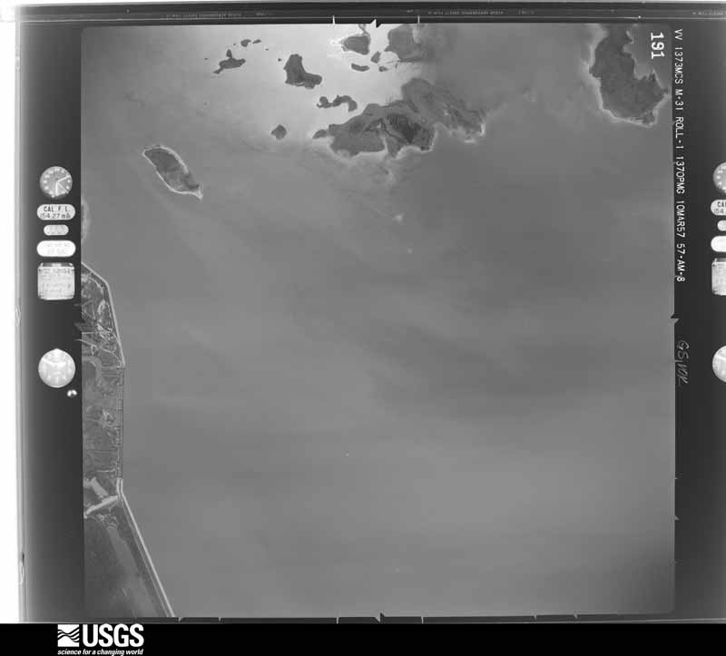
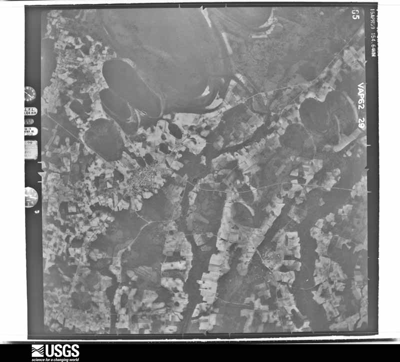
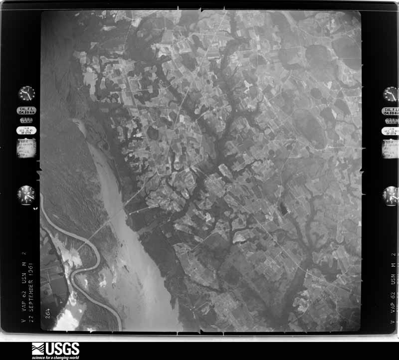
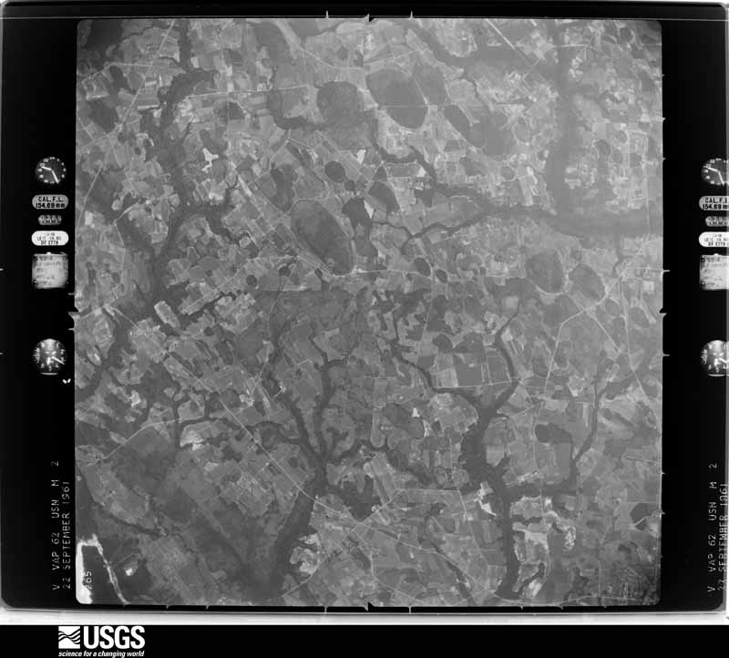
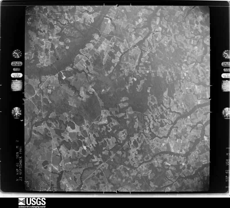
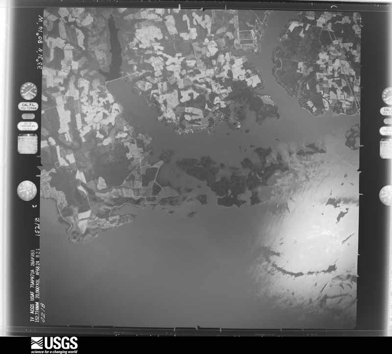
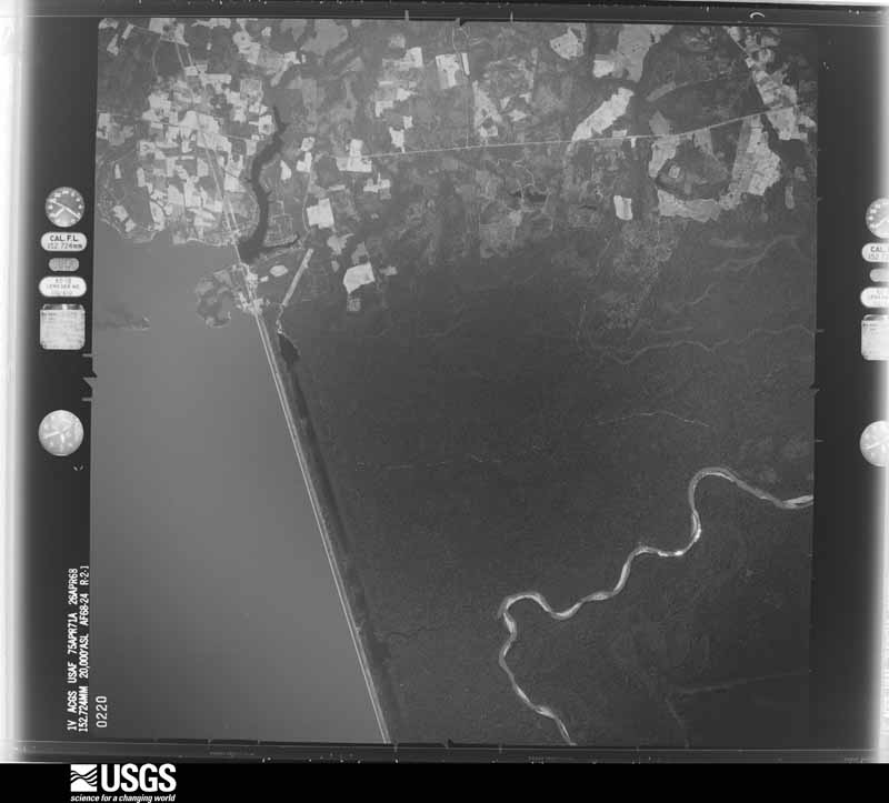
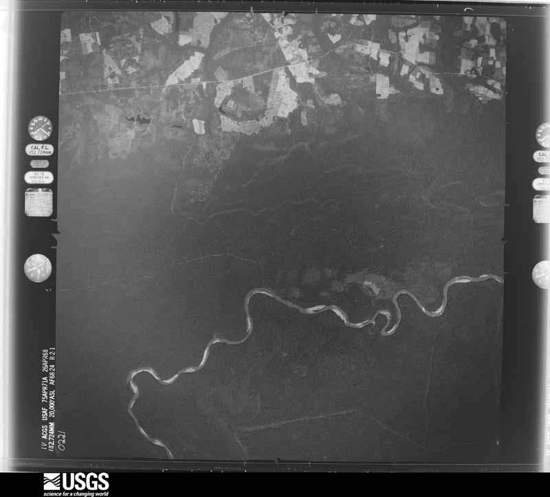
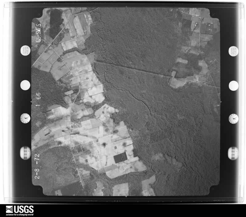
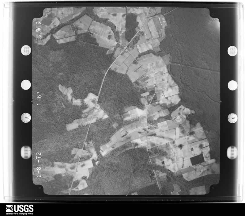
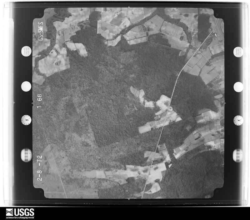
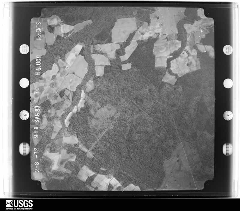
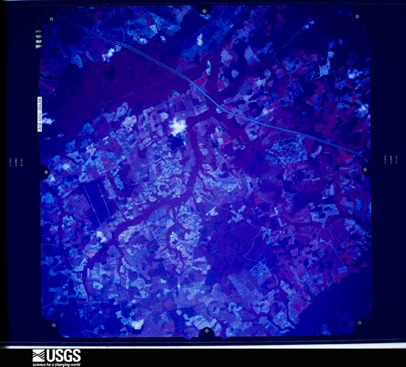
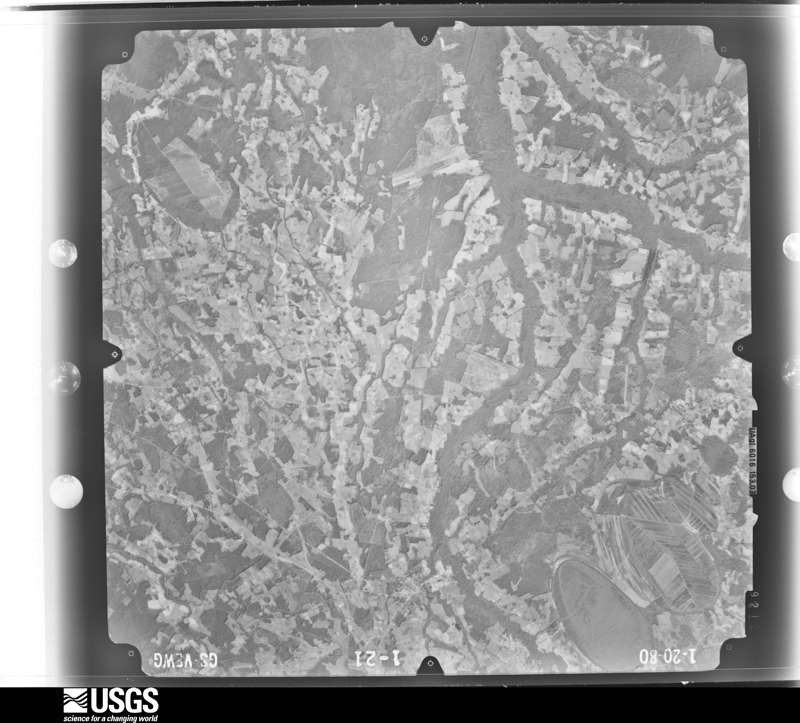
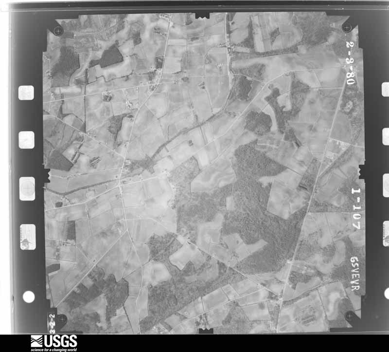
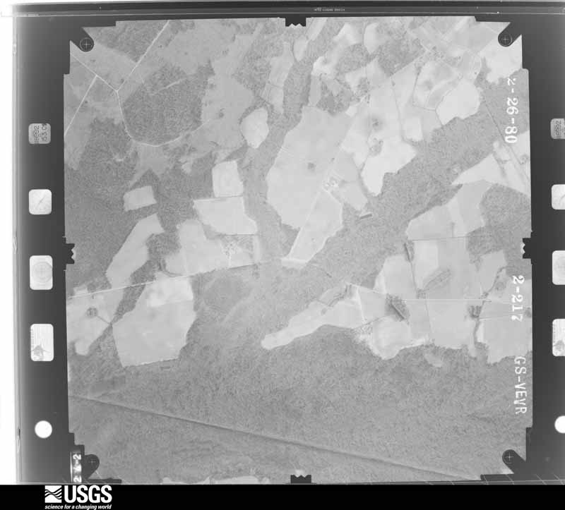
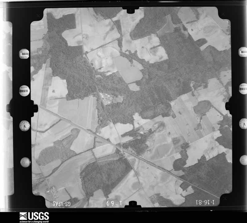
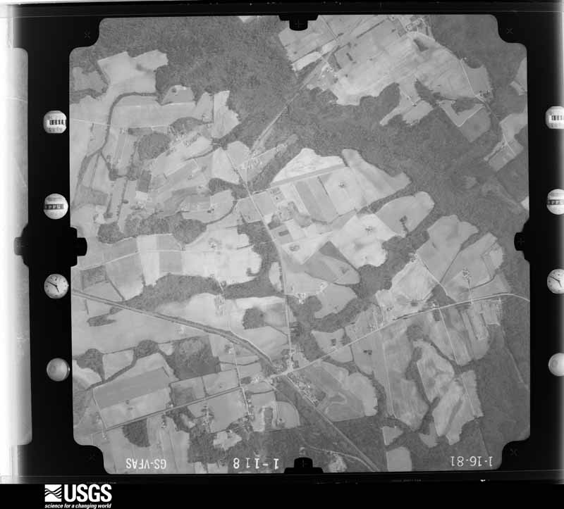
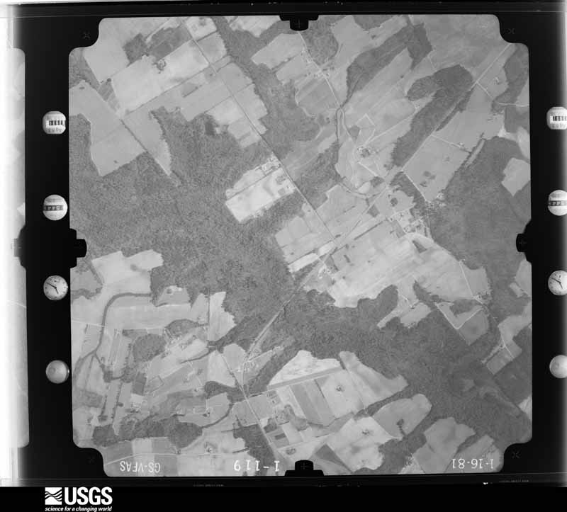
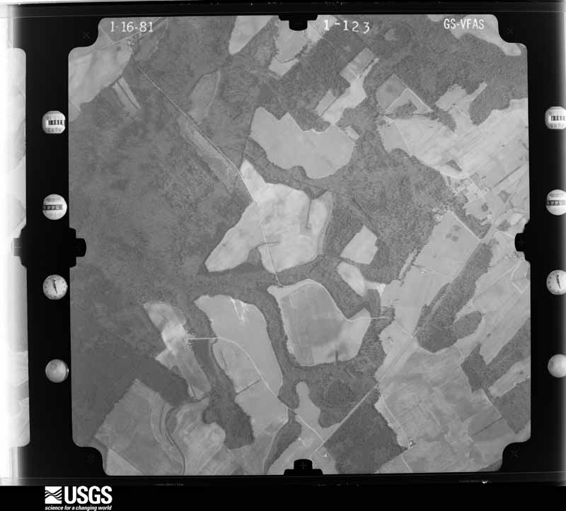
Flown by the U.S. Geological Survey between 1937 and 1989, the Aerial Photo Single Frames collection is the definitive mid-century view of the land: fields, roads and rivers as the camera saw them. The Survey holds 2,364 frames inside the rectangle that bounds this county; the 48 frames below were taken over the county itself, chosen across the decades of flights (at most four a year from that rectangle), so one flight cannot crowd out the rest. The full set is free to browse and download at EarthExplorer under the dataset Aerial Photo Single Frames.


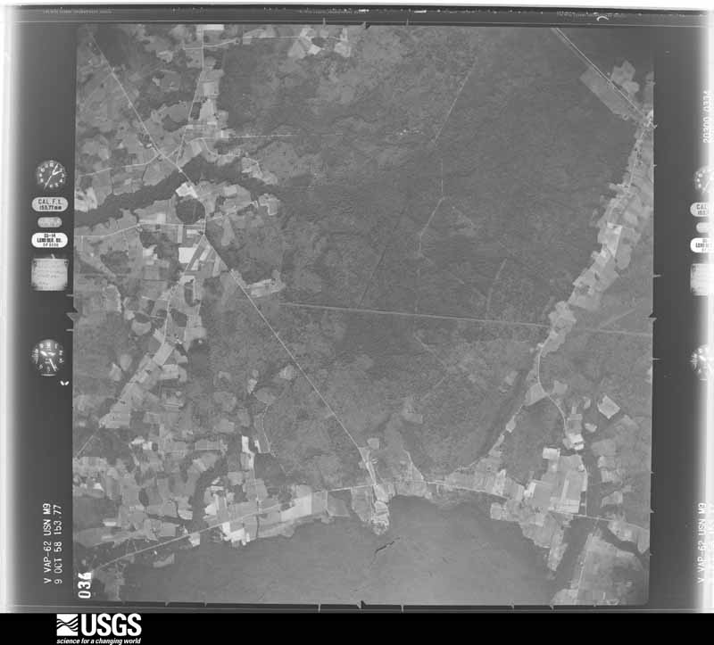
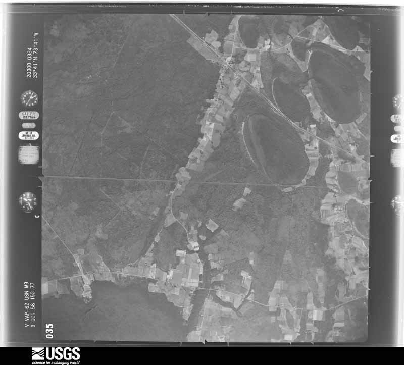
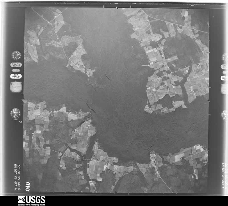
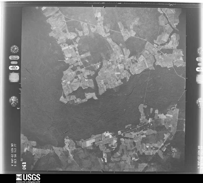


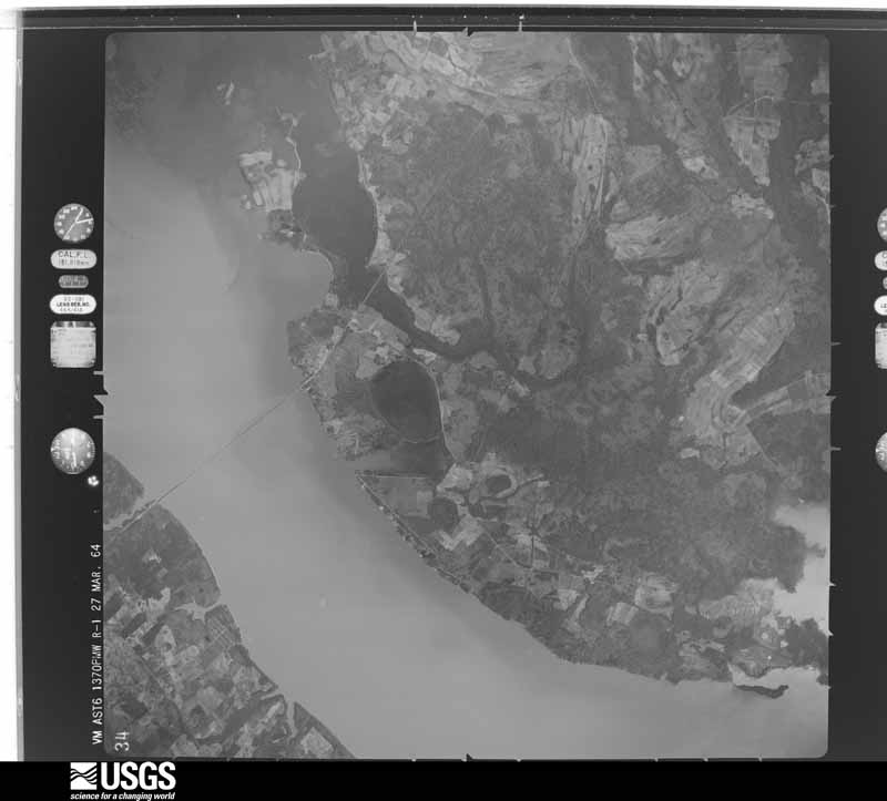
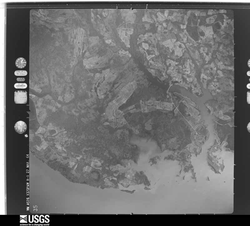
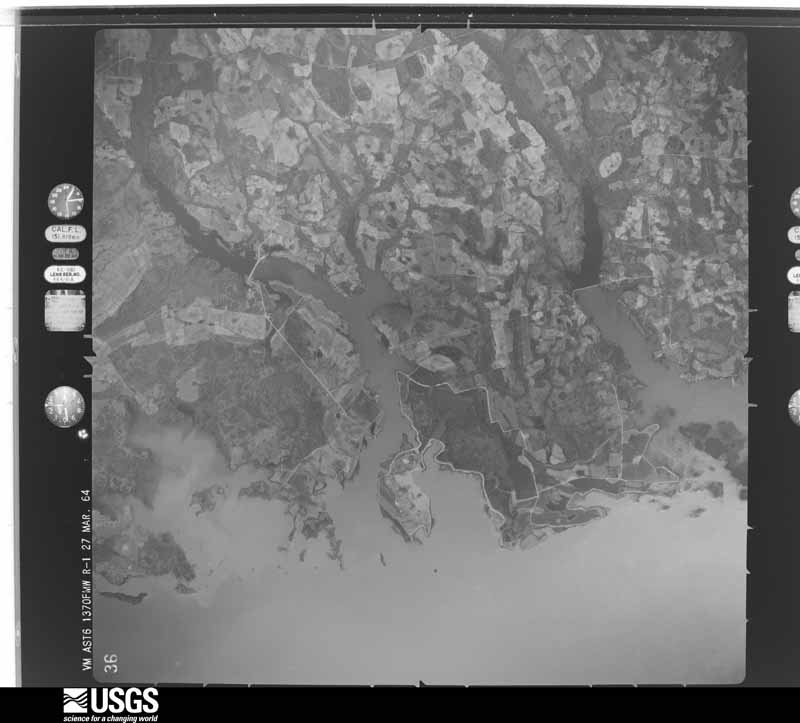
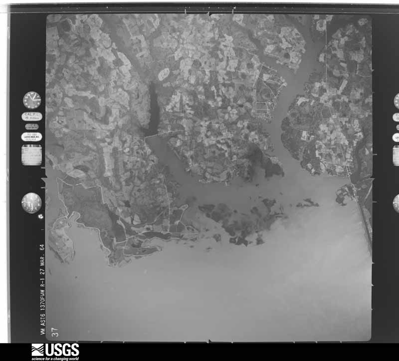










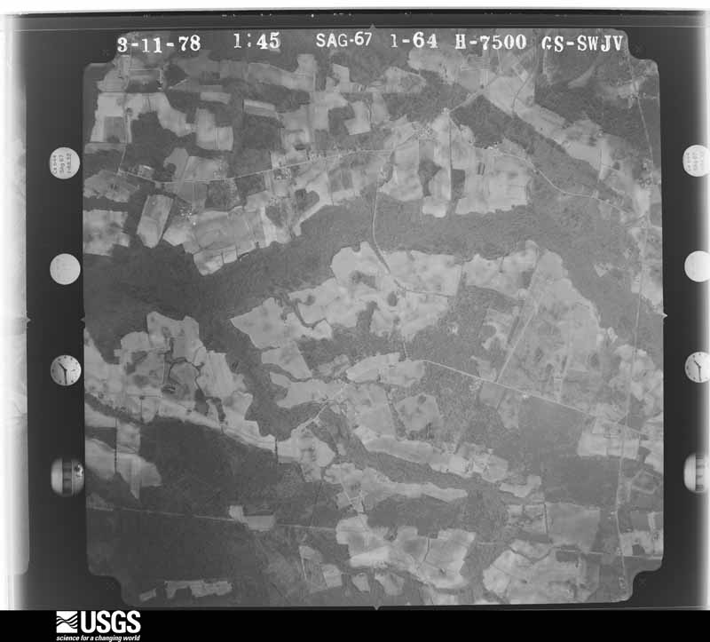
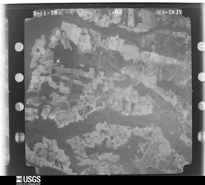
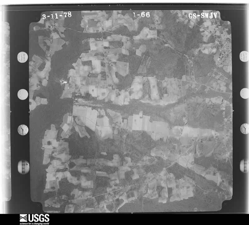
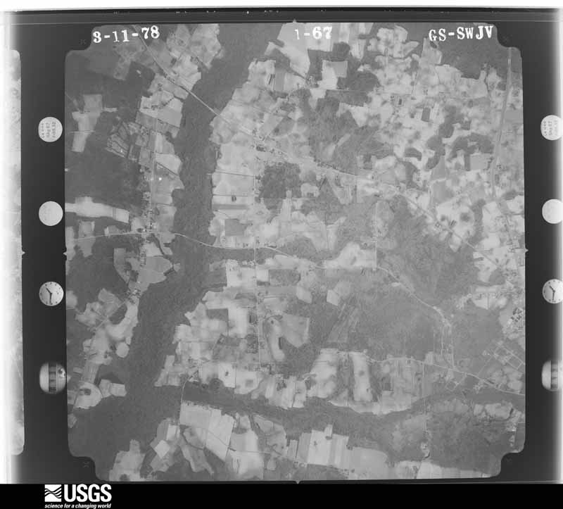

The thermometers that kept this county's weather, and the gages that measured the flow of its streams, as the federal records hold them. The extremes below are measured values from those records, not estimates.
Who lived here in 1950, one enumeration district at a time, as the Census Bureau described each district. Each row opens its official National Archives result, with Population Schedules and ED Maps available there.
Every wildfire the federal occurrence database records inside this county: 3,173 of them, burning about 23,424 acres. 34 started naturally and 705 were recorded as arson. Each settlement page carries the fires within five miles of it.
| Reported cause | Fires |
|---|---|
| Debris and open burning | 1140 |
| Missing data/not specified/undetermined | 1108 |
| Arson/incendiarism | 705 |
| Equipment and vehicle use | 94 |
| Natural | 34 |
| Misuse of fire by a minor | 31 |
| Smoking | 30 |
| Power generation/transmission/distribution | 12 |
| Recreation and ceremony | 8 |
| Railroad operations and maintenance | 6 |
| Other causes | 3 |
| Fireworks | 2 |
The five largest, by the area the report gives. Three of them were set deliberately.
| Date | Cause | Size | Reported by | Name on the report |
|---|---|---|---|---|
| 3 February 2012 | Arson/incendiarism | 1,200 acres | South Carolina Forestry Commission | MITCHUM |
| 29 April 2002 | Arson/incendiarism | 525 acres | South Carolina Forestry Commission | not named |
| 22 March 1995 | Missing data/not specified/undetermined | 510 acres | South Carolina Forestry Commission | not named |
| 5 April 1992 | Missing data/not specified/undetermined | 450 acres | South Carolina Forestry Commission | not named |
| 23 May 2012 | Natural | 400 acres | South Carolina Forestry Commission | not named |
| 5 December 1998 | Natural | 368 acres | Santee National Wildlife Refuge | PINELAND |
| 19 February 2002 | Arson/incendiarism | 350 acres | South Carolina Forestry Commission | not named |
| 29 July 1993 | Missing data/not specified/undetermined | 332 acres | South Carolina Forestry Commission | not named |
Every settlement page carries the fires within five miles of it - see the settlement index below.
The NOAA Storm Events Database holds 474 reports for this county, causing 5 deaths, 27 injuries and about $15,916,010 in recorded property damage. Each settlement page carries the reports that name it.
| Kind of event | Reports |
|---|---|
| Thunderstorm Wind | 293 |
| Hail | 116 |
| Tornado | 38 |
| Flash Flood | 19 |
| Heavy Rain | 5 |
| Lightning | 3 |
The most serious of them, by death, then injury, then recorded damage. The accounts are quoted exactly as the forecast office filed them.
| When | Event | Place named | Harm | What the report says |
|---|---|---|---|---|
| August 1988 | Tornado (F2) | not stated | 1 killed, 1 hurt, $2,500,000 | no account filed |
| April 1958 | Tornado (F2) | not stated | 1 killed, 1 hurt, $25,000 | no account filed |
| June 2000 | Lightning | Summerton | 1 killed | Lightning struck a tree and vehicle parked under it. One man was killed when he was getting out of the vehicle during the incident. |
| June 2000 | Lightning | Manning | 1 killed | Lightning struck a man under a tree and killed him. |
| March 1984 | Thunderstorm Wind | not stated | 1 killed | no account filed |
| January 2006 | Tornado (F1) | Manning | 18 hurt, $500,000 | A strong F1 tornado touched down just west of Manning and continued NNE to Alcolu. Six mobile homes were completely destroyed, 9 had moderate damage, 16 had minor damage, 2 framed homes had minor damage and many trees and powerlines were down. There were 18 injuries, 9 of which were sent to the hospital,4 of which were kept for a few days and released. |
| September 2004 | Tornado (F1) | Alcolu | 4 hurt | An F1 tornado destroyed 2 mobile homes and damaged several others. Light to moderate damage occurred to the elementary school and its busses. Severe damage occurred to large open air outbuildings at a mill across the street from the school. |
| April 1997 | Tornado (F1) | Turbeville | 2 hurt | no account filed |
| May 1978 | Tornado (F2) | not stated | 1 hurt, $250,000 | no account filed |
| October 2015 | Flash Flood | Manning | $8,000,000 | Several streets flooded in town. Meadowfield Apartments in Summerton also experiencing flooding. |
| October 2015 | Flash Flood | Halleytown | $1,000,000 | Clarendon County dispatch and SC Highway Patrol reported roadway flooding in numerous area including HWY 261 at Sandy Ridge Rd. between Paxville and Manning and also Gibbons St in Manning. |
| October 2015 | Flash Flood | Alcolu | $800,000 | SC Highway Patrol reports I-95 closed at mile marker 124 due to flooding. |
| October 2015 | Flash Flood | Alcolu | $500,000 | Clarendon County dispatch reported I-95 has been closed again both northbound and southbound between mile markers 98 and 135 due to flooding. |
| October 2015 | Flash Flood | Alcolu | $500,000 | Clarendon County dispatch reports that several roads that had flooded in the previous rain event and reopened had to be closed again this evening due to recent rain and runoff in the Manning and Alcolu areas. |
| October 2002 | Flash Flood | Manning | $335,000 | Tropical Storm Kyle produced 4 to 10 inches of rain over easter Clarendon county closing roads in low lying areas. The most serious damage occurred in Chitwood Mobile Home Park just outside of Manning where 17 mobile homes were heavily damaged by high water, forcing about 50 persons to move to shelters. |
| September 1999 | Thunderstorm Wind | Countywide | $237,000 | EPD reported scattered trees and powerlines down. One house and 3 mobile homes destroyed. Two homes had minor damage and 1 home had major damage. |
| April 2011 | Thunderstorm Wind | Summerton | $160,000 | Black River Electric Coop reported trees and powerlines down in Summerton. |
| October 2015 | Flash Flood | Alcolu | $100,000 | Plowdenmill Road near I-95 and Hwy 521 closed due to impassible water covering the roadway. Reported by the Emergency Operations Center. |
| October 2015 | Flash Flood | Manning | $100,000 | Clarendon County Sheriff's Office reported passed along a public report of roadway flooding on Greeleyville HWY between the county jail and Bloomville Road. |
| November 2011 | Thunderstorm Wind | Alcolu | $85,000 | Storm Survey found an intense microburst destroyed a garage/workshop and took down numerous trees. Shingles, facia, and soffett were also torn off the home. |
| April 2011 | Hail | Gable | $80,000 | Sheriff reported baseball to softball size hail at Hwy 301 and North Brewington road causeing severe damage to roofs and vehicles. |
| April 2011 | Hail | Turbeville | $60,000 | Sheriff reported baseball to softball size hail at FIRE STATION 2. Time estimated from radar. |
| September 1997 | Lightning | Alcolu | $60,000 | Lightning struck a church in the early morning hours and did $60K in damage to the facility. |
| May 2013 | Thunderstorm Wind | Wilson | $50,000 | EM reported a microburst took down trees and blew a steeple off a church. Underpinning was also torn off a mobile home and several framed homes and the church had shingles blown off. |
| April 2011 | Hail | Turbeville | $30,000 | Sheriff reported golf ball size hail in Turbeville. |
| July 1980 | Tornado (F1) | not stated | $25,000 | no account filed |
| February 1977 | Tornado (F1) | not stated | $25,000 | no account filed |
| August 1972 | Tornado (F0) | not stated | $25,000 | no account filed |
| July 1961 | Tornado (F1) | not stated | $25,000 | no account filed |
| August 2023 | Flash Flood | Manning | $20,000 | Streets around the Weldon Auditorium including Old Georgetown Road closed due to flooding. |
| June 1995 | Tornado (F0) | of Manning | $20,000 | Tornado destroyed a double-wide mobile home and damaged a nearby store. |
| July 2012 | Thunderstorm Wind | Gable | $16,000 | Sheriff reported many trees down in northern portions of the county. |
| April 2011 | Thunderstorm Wind | Summerton | $16,000 | Black River Electric Coop reported trees and powerlines down in Summerton. |
| March 2022 | Thunderstorm Wind | Turbeville | $15,000 | Public reported wind damage at Olive Grove Church, and nearby area, near Turbeville. Submitted photos of damage included a downed tree and numerous downed tree limbs, damage to columns at the church, toppled brick signs and tombstones, significant damage to metal buildings, carports, fences, playground equipment, etc. Some small hail was still on the ground the next morning. |
| August 2012 | Thunderstorm Wind | Alcolu | $14,000 | Highway Patrol reported a tree on a car along I-95 at mile marker 125. The car was parked on the side of the road and was unattended. |
| April 2011 | Tornado (EF1) | Manning Clarendon Ar | $14,000 | Santee Cooper Dam Operations at Lake marion reported a tornado was sighted over the lake then touched down below the dam on the Clarendon County side fo the lake uprooting trees and snapping some of the them off. |
| August 2010 | Thunderstorm Wind | Manning | $14,000 | Sheriff reported trees and powerlines down in Manning and signs down on Hwy 261. Some of the utility poles were broken off at the base. |
| April 2011 | Tornado (EF0) | Gable | $12,000 | A NWS storm survey found an EF0 tornado in eastern Clarendon County. The path consisted of intermittent touchdowns the took down trees. The tornado formed near Brewington road and ended just north northeast of Union Crossroads. |
| April 2011 | Thunderstorm Wind | Gable | $12,000 | Black River Electric Coop reported trees and powerlines down in the Gable area. |
| October 2015 | Flash Flood | Manning | $10,000 | North Church Street in Manning has been closed due to impassible water covering the roadway. Reported by the Emergency Operations Center. |
| August 2012 | Thunderstorm Wind | Manning | $10,000 | Sheriff reported numerous trees down on the west side of Manning. |
| June 2015 | Thunderstorm Wind | New Zion | $8,000 | Dispatch reported trees and powerlines down on Walker Gamber Road near Laurel Drive. |
| June 2015 | Thunderstorm Wind | Gable | $8,000 | Sheriff reported trees and powerlines down just Northeast of Alcolu. |
| May 2014 | Thunderstorm Wind | Gable | $8,000 | Public reported trees down southwest of the Gable community on Brewington road and other rural roads. |
| August 2012 | Thunderstorm Wind | Rimini | $8,000 | Highway Patrol reported a tree on a house on Bacon Hill Road in Pinewood. |
| August 2012 | Thunderstorm Wind | Rimini | $8,000 | Highway Patrol reported a tree on a house on Bacon Hill Road in Pinewood. |
| April 2011 | Thunderstorm Wind | Manning | $8,000 | County Sheriff reported trees down on Hwy 261 and Old Georgetown road in Manning. |
| June 2010 | Thunderstorm Wind | Turbeville | $8,000 | Sheriff reported trees down Ann Worsham and Burnt Branch roads. |
| April 2011 | Thunderstorm Wind | Summerton | $7,000 | Powerlines down and outages in and around Summerton. |
| July 2010 | Thunderstorm Wind | Central Xrds | $7,000 | Sheriff reported trees and powerlines down along Hwy 378 near Sandhill Road and American Ave. |
| September 2015 | Thunderstorm Wind | Manning Clarendon Ar | $6,000 | EM reported trees down on Patriot Road and Hwy 260. |
| March 2013 | Thunderstorm Wind | Manning | $6,000 | DOT reported several trees down around the Manning area. |
| July 2012 | Thunderstorm Wind | Manning Clarendon Ar | $6,000 | Sheriff dispatch reported trees down in the Jordan area. |
| June 2010 | Thunderstorm Wind | Alcolu | $6,000 | Sheriff reported trees down on Alderman Camp Road. |
| July 2009 | Thunderstorm Wind | Bloomville | $6,000 | Santee Electric Coop reported several trees and powerlines down in the Pompeytown Community. |
| July 2009 | Thunderstorm Wind | Wilson | $6,000 | Santee Electric Coop reported several trees and powerlines down along highway 261. |
| October 2016 | Flash Flood | Gable | $5,000 | South Carolina Highway Patrol reported flooding of the southbound lanes of I-95 near miler marker 125 near Alcolu. |
| April 2015 | Thunderstorm Wind | Rimini | $5,000 | County Dispatch reported trees down at the intersection of Governor Richardson Road and Dreamers Lane causing one vehicle accident with no injuries. |
| June 2014 | Thunderstorm Wind | Rimini | $5,000 | Highway Patrol reported trees down on Governor Richardwson Road near Rimini. |
| April 2011 | Hail | Turbeville | $5,000 | Sheriff reported quarter size hail just north of Turbeville. |
The Survey's mineral resources record lists 1 working inside this county. It is closed or unrecorded. Each settlement page carries the workings within five miles of it.
| Commodity | Workings |
|---|---|
| Clay | 1 |
The least common of them first, because a county's hundredth gravel pit says nothing its first ten did not.
| Where | Site | Commodity | Status | Recorded |
|---|---|---|---|---|
| Hills-Labruce | Clay | Unknown | Sedimentary |
Named settlements recorded in the Geographic Names Information System, each with the topographic sheets covering it. Villages, hamlets and abandoned places alike. Each is shown with the nearest named watercourse or landform and the survey quadrangle it falls on. The 2 places that were also surveyed for fire insurance come first, with the number of atlases and photographs held for them.
Manning census division · 29102 · On Ox Swamp · Manning quadrangle
16 sheets, 1920 to 1990
Fire insurance: 6 atlases
Summerton census division · 29148 · On Scott Branch · Summerton quadrangle
13 sheets, 1954 to 1990
Fire insurance: 3 atlases
Alcolu census division · 29001 · On Big Branch · Tearcoat Branch quadrangle
16 sheets, 1920 to 1990
Manning East census division · 29102 · On Spreadoak Branch · Manning quadrangle
16 sheets, 1920 to 1990
Turbeville census division · 29560 · Hebron Crossroads quadrangle
8 sheets, 1946 to 1990
Turbeville census division · 29162 · On Trustless Branch · Sardinia quadrangle
16 sheets, 1920 to 1990
Summerton census division · 29148 · On Spring Branch · Saint Paul quadrangle
15 sheets, 1954 to 1994
Manning East census division · 29102 · On Spreadoak Branch · Manning quadrangle
16 sheets, 1920 to 1990
Manning census division · 29102 · Jordan quadrangle
17 sheets, 1920 to 1990
No longer a settlement
Manning East census division · 29102 · On Broad Branch · Foreston quadrangle
17 sheets, 1920 to 1990
No longer a settlement
Manning census division · 29102 · On Hog Branch · Manning quadrangle
16 sheets, 1920 to 1990
Alcolu census division · 29001 · On Lakewood Creek · Foreston quadrangle
17 sheets, 1920 to 1990
Alcolu census division · 29001 · On Pen Branch · Tearcoat Branch quadrangle
16 sheets, 1920 to 1990
Manning census division · 29102 · On Big Branch · Jordan quadrangle
17 sheets, 1920 to 1990
Manning census division · 29102 · On Carroll Slough · Jordan quadrangle
17 sheets, 1920 to 1990
Alcolu census division · 29001 · On Big Branch · Tearcoat Branch quadrangle
16 sheets, 1920 to 1990
Manning census division · 29102 · On Davis Branch · Manning quadrangle
16 sheets, 1920 to 1990
Summerton census division · 29148 · Near Goat Island · Summerton quadrangle
13 sheets, 1954 to 1990
Sardinia census division · 29111 · On Trustless Branch · Sardinia quadrangle
16 sheets, 1920 to 1990
Summerton census division · 29125 · On Chapel Creek · Pinewood quadrangle
14 sheets, 1954 to 1990
Paxville census division · 29102 · On Broadway Branch · Paxville quadrangle
14 sheets, 1954 to 1990
Summerton census division · 29125 · On Taylor Branch · Lone Star quadrangle
13 sheets, 1946 to 1990
Manning census division · 29148 · On Clubhouse Branch · Jordan quadrangle
17 sheets, 1920 to 1990
Summerton census division · 29148 · On Big Branch · Saint Paul quadrangle
15 sheets, 1954 to 1994
Manning census division · 29102 · On White Oak Branch · Jordan quadrangle
17 sheets, 1920 to 1990
Sardinia census division · 29111 · On Cain Branch · Hebron Crossroads quadrangle
8 sheets, 1946 to 1990
Manning census division · 29102 · On White Oak Creek · Jordan quadrangle
17 sheets, 1920 to 1990
Alcolu census division · 29051 · On Tearcoat Branch · Sardinia quadrangle
16 sheets, 1920 to 1990
Manning census division · 29102 · On Three Hole Swamp · Jordan quadrangle
17 sheets, 1920 to 1990
The vanished settlements of Clarendon County: the places named above that are no longer on the map.
16 topographic sheets and 6 fire insurance atlases, 1895 to 1943
13 topographic sheets and 3 fire insurance atlases, 1916 to 1924
The complete index, with nothing left out. Each of these is a separate record with its own page: a federal survey report, or the case file that argued a property on to the National Register. Both are public domain and reproduced word for word.
The vanished settlements of Clarendon County, the places these records name that are no longer on the map.