 Block
Bloomville, South Carolina
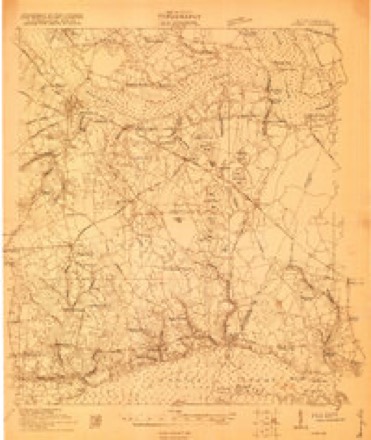
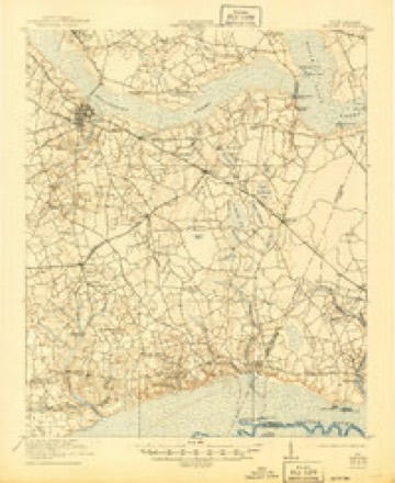
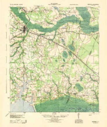
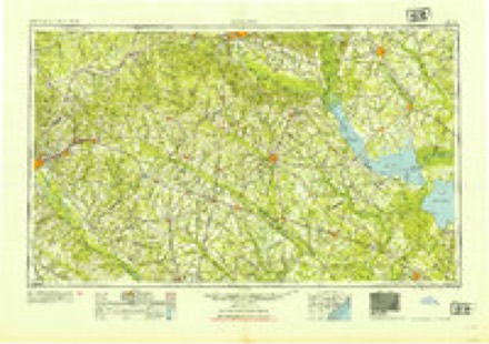
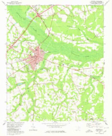
16 topographic sheets cover this place, the earliest surveyed in 1920 and the latest in 1990. It stands in the Manning East census division. It lies in ZIP code area 29102. It stands on Spreadoak Branch. The Survey maps it on the Manning quadrangle.
Topographic sheets covering this place
11 surveys from 16 printed sheetsMatched by testing this settlement's coordinate against the published boundary of every sheet in the United States Geological Survey's historical collection. Each opens the scanned sheet at the Survey.
- 1920 USGS Manning quadrangle1:48000
- 1921 USGS Manning quadrangle1:62500, 3 printings
- 1944 USGS Manning quadrangle1:62500
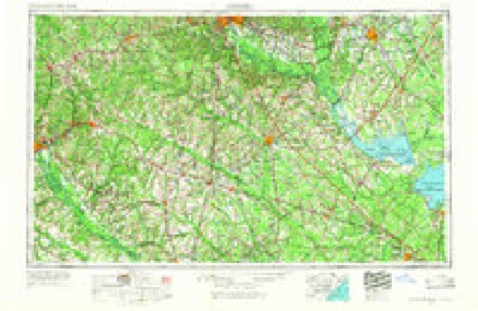
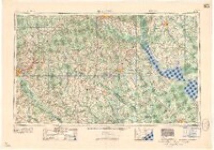
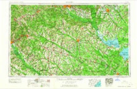
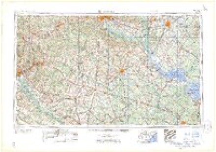
- 1954 USGS Augusta quadrangle1:250000
- 1957 USGS Augusta quadrangle1:250000, 3 printings
- 1958 USGS Augusta quadrangle1:250000
- 1961 USGS Augusta quadrangle1:250000, 2 printings
- 1962 USGS Augusta quadrangle1:250000
- 1980 USGS Manning quadrangle1:24000
- 1986 USGS Sumter quadrangle1:100000
- 1990 USGS Sumter quadrangle1:100000
Fires near this place
549 since 1992Regional context, not property-specific evidence. The federal wildfire occurrence database lists 549 fires within 5 miles of Bloomville between 1992 and 2020, burning about 5,271 acres in total. 3 started naturally. 136 were recorded as arson. Distance is straight-line from the map coordinates, so a fire counted here may appear on a neighbouring settlement's page as well.
| Reported cause | Fires |
|---|---|
| Missing data/not specified/undetermined | 210 |
| Debris and open burning | 168 |
| Arson/incendiarism | 136 |
| Equipment and vehicle use | 14 |
| Misuse of fire by a minor | 7 |
| Smoking | 5 |
| Natural | 3 |
| Power generation/transmission/distribution | 2 |
| Fireworks | 1 |
| Other causes | 1 |
| Railroad operations and maintenance | 1 |
| Recreation and ceremony | 1 |
The most recent of them, most recent first, with the day each was reported and the service that recorded it.
| Date | Cause | Size | Reported by | Name on the report |
|---|---|---|---|---|
| 9 September 2018 | Debris and open burning | 2.0 acres | South Carolina Forestry Commission | not named |
| 9 September 2005 | Arson/incendiarism | 1.0 acres | South Carolina Forestry Commission | not named |
| 9 September 2000 | Arson/incendiarism | 1.0 acres | South Carolina Forestry Commission | not named |
| 8 September 2007 | Arson/incendiarism | 2.0 acres | South Carolina Forestry Commission | not named |
| 7 September 1999 | Arson/incendiarism | 10 acres | South Carolina Forestry Commission | not named |
| 6 September 2010 | Debris and open burning | 2.0 acres | South Carolina Forestry Commission | not named |
| 5 September 1999 | Arson/incendiarism | 1.0 acres | South Carolina Forestry Commission | not named |
| 4 September 2008 | Debris and open burning | 1.0 acres | South Carolina Forestry Commission | not named |
Settlements close enough to share some of these fires:
Storms near this place
8 since 1995Regional context, not property-specific evidence. The National Weather Service names Bloomville in 8 storm reports between 1995 and 2020: 4 thunderstorm wind, 3 tornado, 1 hail. No death or injury is recorded in these reports. Each account below is quoted exactly as the forecast office filed it, from the NOAA Storm Events Database, and each date opens the federal record of that event.
| When | Event | Place named | Harm | What the report says |
|---|---|---|---|---|
| July 2009 | Thunderstorm Wind | Bloomville | $6,000 | Santee Electric Coop reported several trees and powerlines down in the Pompeytown Community. |
| August 2015 | Thunderstorm Wind | Bloomville | $1,000 | Sheriff reported a couple of trees down on Bloomville Road at Bonanza Crossing. |
| March 1996 | Tornado (F0) | Bloomville | $1,000 | no account filed |
| December 2020 | Tornado (EF1) | Bloomville | - | A National Weather Service storm survey confirmed a weak EF-1 tornado, with|estimated maximum wind speeds around 90 mph, near Baggette Crossroads in|Clarendon County, SC. The brief tornado, lasting approximately one minute, began in a|field of pine trees east of Bloomville Road where it snapped and uprooted numerous|pine trees. The tornado then moved northeast causing damage to Holly Hill Missionary|Baptist Church on Hidden Branch Drive. Thin metal roofing was torn off part of the|church and the wall on the east side of the fellowship hall collapsed. More pine tree|trunks were snapped as the tornado crossed Hidden Branch Drive, with the tornado|eventually dissipating before reaching Brewer Road. Debris from the church was carried |approximately 0.6 miles. Clarendon County Emergency Services conducted an initial|survey of the damage and provided pictures. |
| March 2018 | Thunderstorm Wind | Bloomville | - | SC DOT reported a tree on the roadway on Raccoon Rd. |
| July 2016 | Thunderstorm Wind | Bloomville | - | Trees downed near the community of Jordan. |
| May 2001 | Hail | Bloomville | - | Spotter reported 1 inch hail in and around Bloomville. |
| November 1995 | Tornado | Bloomville | - | Tornado did minor damage to farm. Trees were knocked down. On November 7th, a squall line of severe thunderstorms developed ahead of a rapidly moving cold front and raced across South Carolina. This storm system had a 65kt low level jet at 4kft above the ground and a naturally sheared environment. Twelve tornadoes touched down in the Columbia County warning area. The greatest damage occurred with the F2 tornado that hit a poultry farm near Monetta, and at the Elloree Horse Training Center and Track where all stables and a home were severely damaged. An intense microburst also did considerable damage to many homes in Cameron. The South Carolina Insurance News Service said the storms did at least $3 million in damage to insured structures. |
Nearest settlements
The eight closest, with where each one stands in the county. Distances are straight-line, computed from the Geographic Names Information System coordinates.
| Map | Place | Distance | Sheets |
|---|---|---|---|
| Baggette Crossroads | 1.4 miles | 16 | |
| Bonanza (historical) | 1.9 miles | 17 | |
| James Crossroads | 2.9 miles | 16 | |
| Wilson | 3.0 miles | 17 | |
| Jordan | 3.2 miles | 17 | |
| Country Club Estates | 3.4 miles | 16 | |
| Juneville | 3.9 miles | 16 | |
| Manning | 4.9 miles | 16 |
Provenance
This settlement is recorded in the Geographic Names Information System as feature 1227868. The sheet list is computed by point-in-boundary test against the United States Geological Survey's historical topographic inventory. Both are works of the United States government and carry no copyright under 17 U.S.C. 105.
Wildfire. Short, Karen C. 2022. Spatial wildfire occurrence data for the United States, 1992-2020 [FPA_FOD_20221014]. 6th Edition. Fort Collins, CO: Forest Service Research Data Archive. https://doi.org/10.2737/RDS-2013-0009.6 Collected with United States Government funding and usable without additional permissions or fees.
Storms. NOAA National Centers for Environmental Information, Storm Events Database https://www.ncei.noaa.gov/stormevents/ A work of the United States government, no copyright under 17 U.S.C. 105. Narratives are quoted verbatim from the National Weather Service report and are not edited or summarised.