 Block
From the record
20 National Register listings published here.
Sources: the National Register database, National Park Service
34 topographic sheets and 8 fire insurance atlases across 2 places.
20 National Register listings published here.
Sources: the National Register database, National Park Service
Taken for the Office of War Information and the Farm Security Administration, who photographed the country between 1935 and 1944. Works of United States government photographers, with no known restriction on use. Each opens its catalogue record.
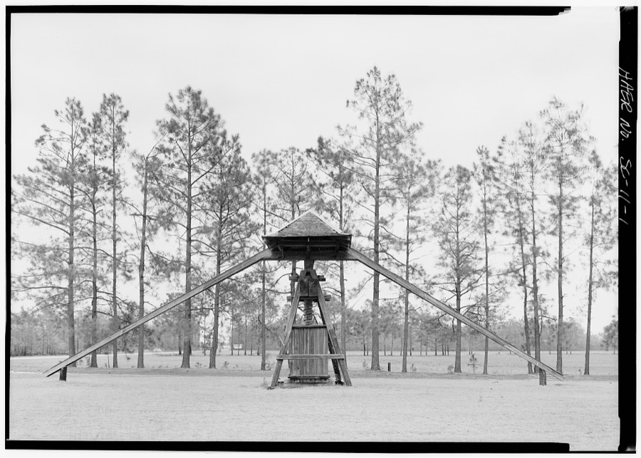

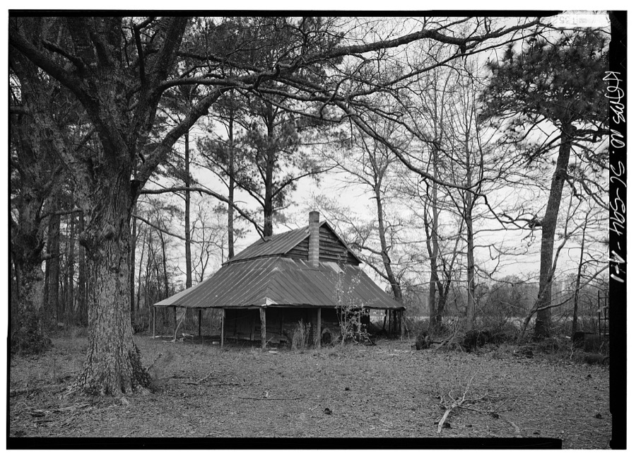
Every property in this county listed on the National Register of Historic Places, with the year it was listed and the federal nomination document.
| Photograph | Property | Type | Listed | Reference |
|---|---|---|---|---|
| Joel Allen House | building | 1974 | 74001848 | |
| Alpheus Victor and Martha Cooper Bethea Farmstead | district | 2024 | 100010894 | |
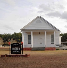 | Catfish Creek Baptist Church | building | 1975 | 75001697 |
 | Dillon County Courthouse | building | 1981 | 81000564 |
 | Dillon Downtown Historic District | district | 2003 | 01001549 |
| Dillon Graded School and Dillon Public School | building | 2014 | 14000818 | |
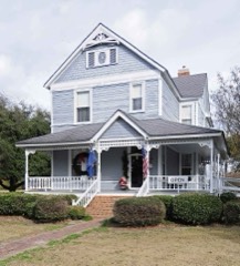 | James W. Dillon House | building | 1971 | 71000769 |
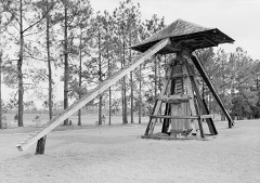 | Early Cotton Press | structure | 1972 | 72001206 |
 | Hamer Hall | building | 1975 | 75001696 |
 | James W. Hamer House | building | 2007 | 07000985 |
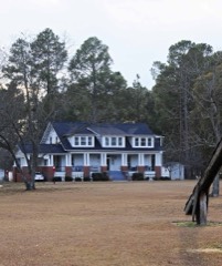 | John Hayes Farmstead | building | 2005 | 05001153 |
| Latimer High and Elementary School (Additional Documentation) | district | 2024 | 100010400 | |
| Latta Downtown Historic District | district | 1998 | 98000555 | |
 | Latta Historic District No. 1 | district | 1984 | 84002038 |
 | Latta Historic District No. 2 | district | 1984 | 84002040 |
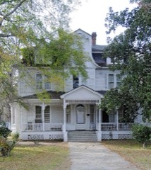 | McMillan House | building | 1984 | 84002042 |
| Meekins Barn | building | 1984 | 84003815 | |
 | Selkirk Farm | building | 1974 | 74001847 |
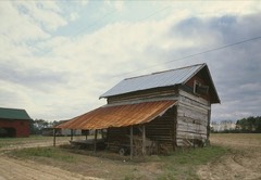 | Smith Barn | building | 1984 | 84000568 |
 | St. Paul's Methodist Church | building | 1977 | 77001220 |
Sampled issues, machine-read from the Library of Congress scan and published page by page, so every headline and column is searchable text.
Dillon, S.C., 1894 to ????. Machine-read from the Library of Congress scan.
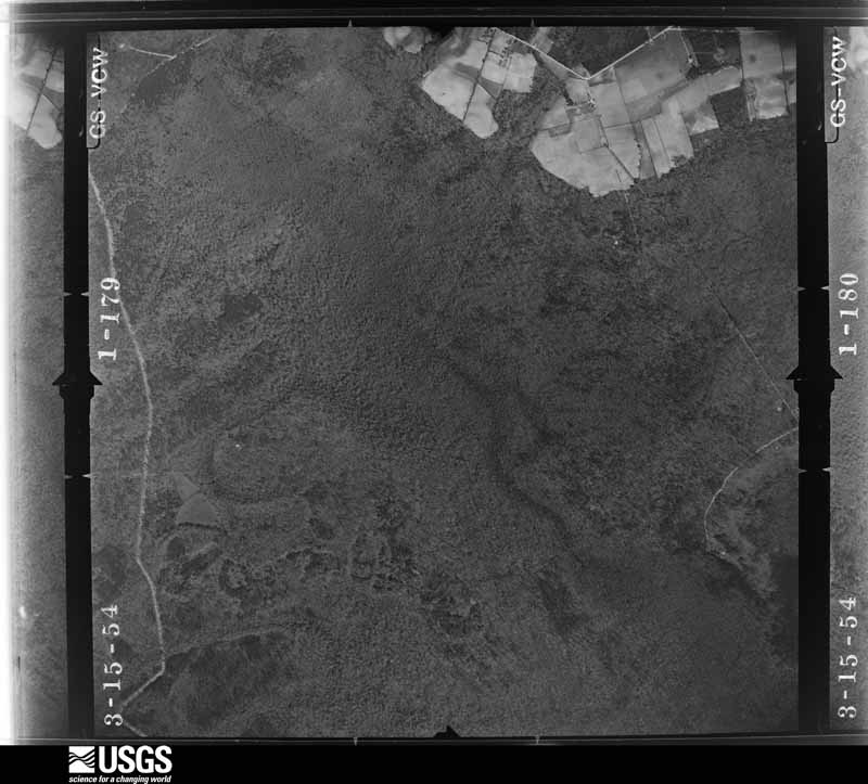
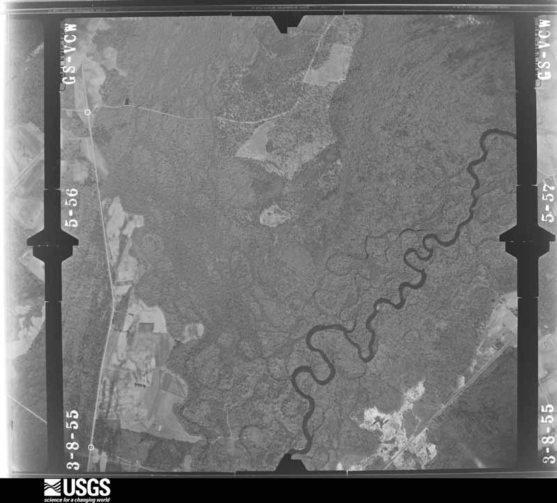
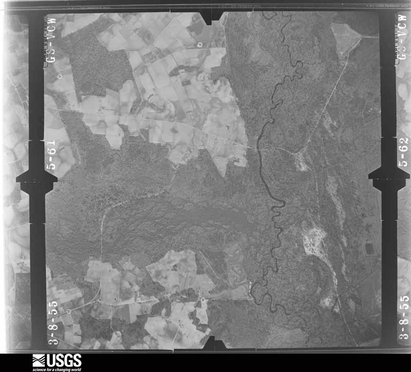
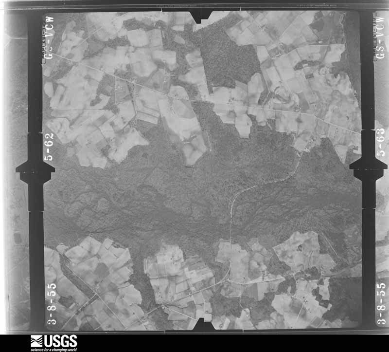
Flown by the U.S. Geological Survey between 1937 and 1989, the Aerial Photo Single Frames collection is the definitive mid-century view of the land: fields, roads and rivers as the camera saw them. The Survey holds 1,378 frames inside the rectangle that bounds this county; the 40 frames below were taken over the county itself, chosen across the decades of flights (at most four a year from that rectangle), so one flight cannot crowd out the rest. The full set is free to browse and download at EarthExplorer under the dataset Aerial Photo Single Frames.



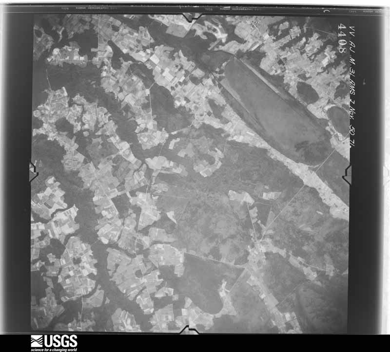
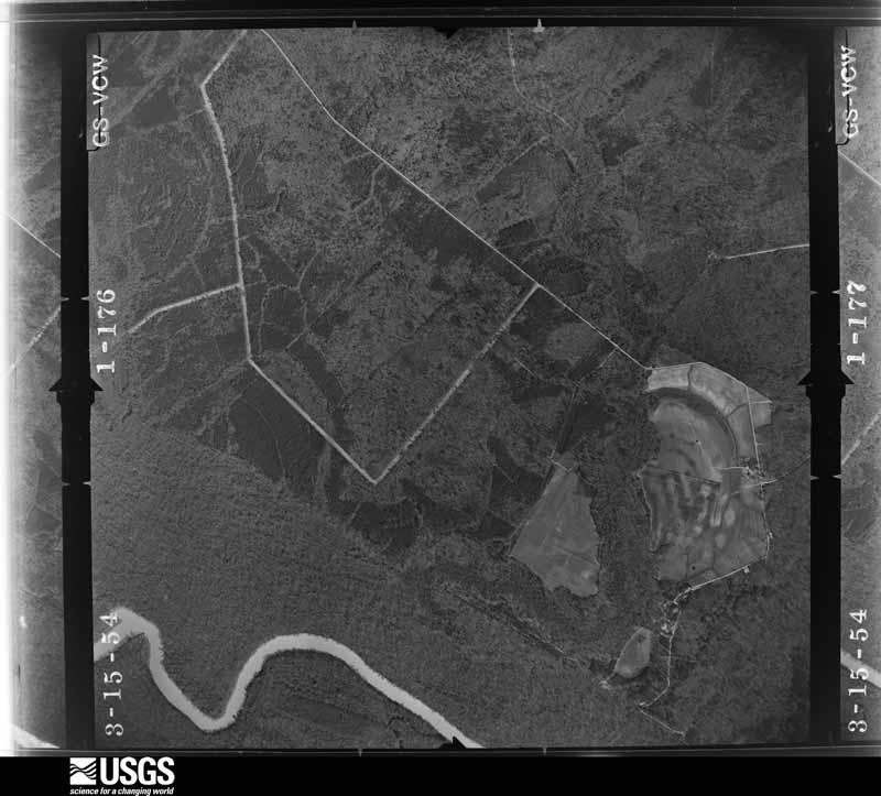
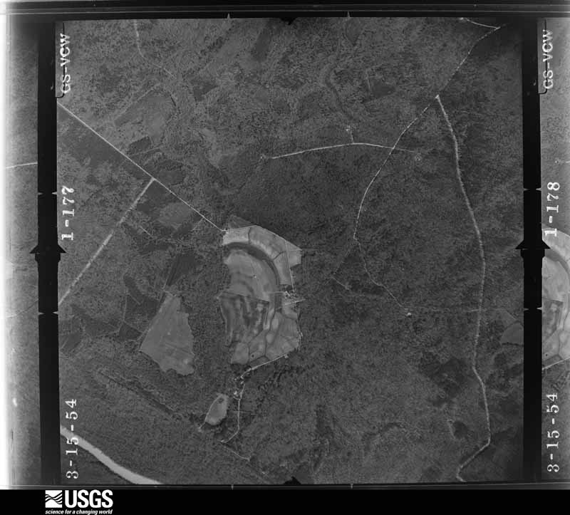
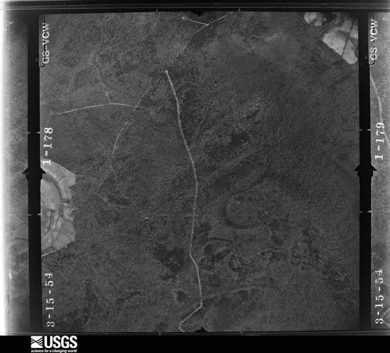
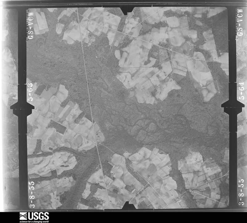





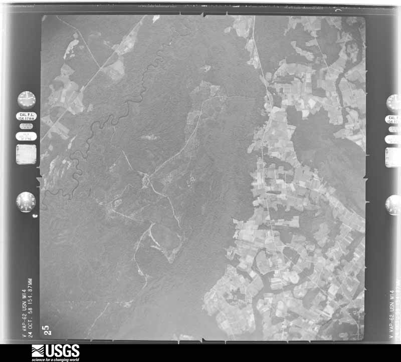
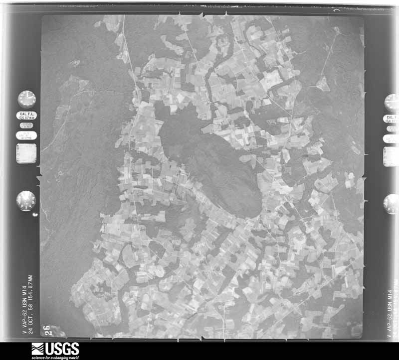

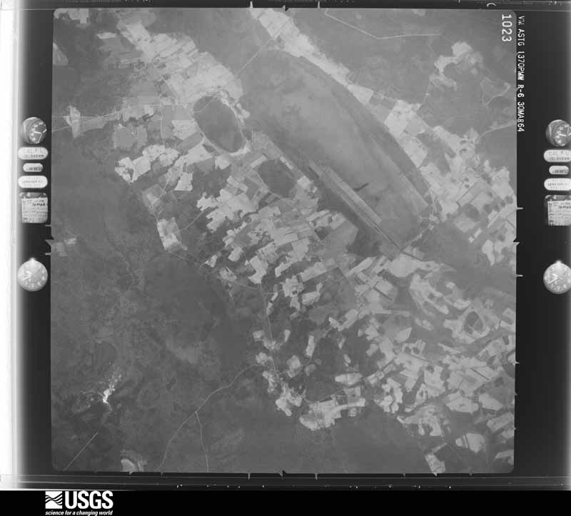
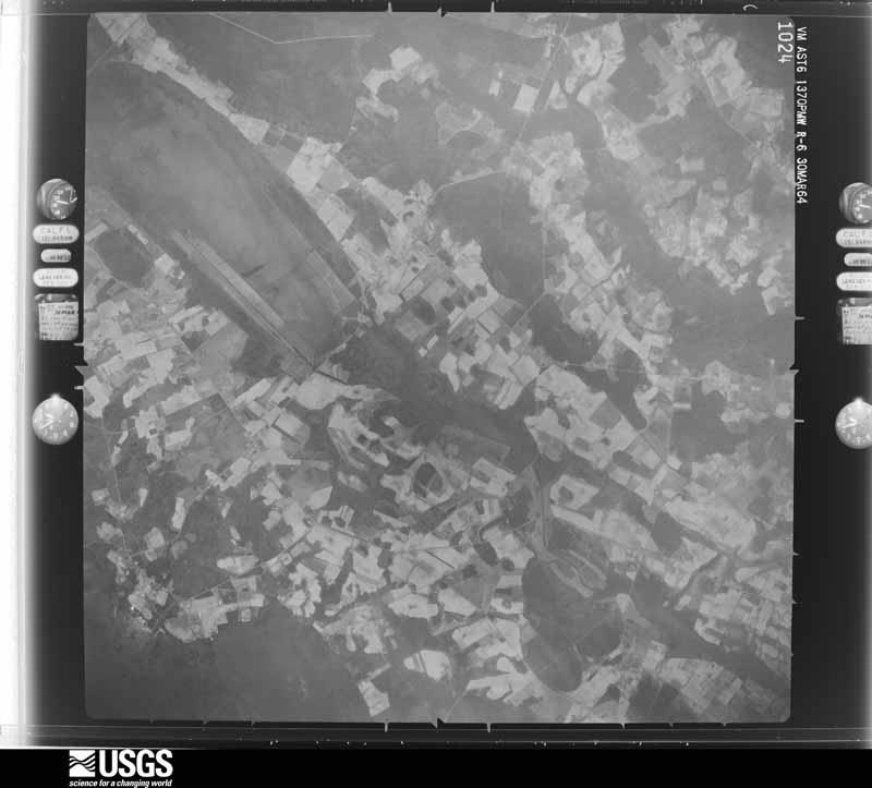
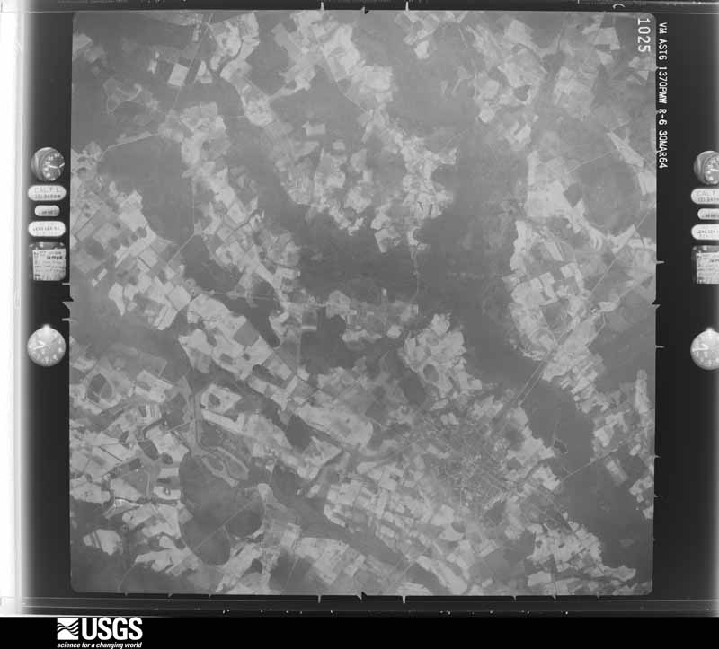
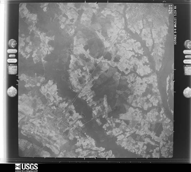



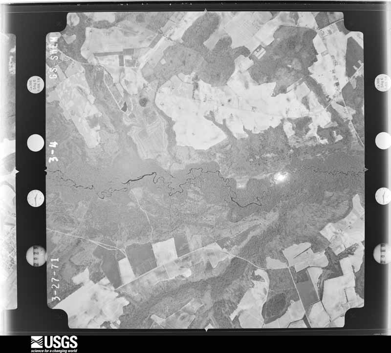












The thermometers that kept this county's weather, and the gages that measured the flow of its streams, as the federal records hold them. The extremes below are measured values from those records, not estimates.
Who lived here in 1950, one enumeration district at a time, as the Census Bureau described each district. Each row opens its official National Archives result, with Population Schedules and ED Maps available there.
Every wildfire the federal occurrence database records inside this county: 1,382 of them, burning about 7,788 acres. 28 started naturally and 329 were recorded as arson. Each settlement page carries the fires within five miles of it.
| Reported cause | Fires |
|---|---|
| Missing data/not specified/undetermined | 435 |
| Debris and open burning | 347 |
| Arson/incendiarism | 329 |
| Equipment and vehicle use | 137 |
| Misuse of fire by a minor | 55 |
| Natural | 28 |
| Smoking | 22 |
| Recreation and ceremony | 12 |
| Railroad operations and maintenance | 7 |
| Other causes | 5 |
| Fireworks | 4 |
| Power generation/transmission/distribution | 1 |
The five largest, by the area the report gives. Two of them were set deliberately.
| Date | Cause | Size | Reported by | Name on the report |
|---|---|---|---|---|
| 10 March 1993 | Missing data/not specified/undetermined | 541 acres | South Carolina Forestry Commission | not named |
| 27 October 2001 | Debris and open burning | 528 acres | South Carolina Forestry Commission | not named |
| 13 April 2006 | Arson/incendiarism | 300 acres | South Carolina Forestry Commission | not named |
| 5 August 1992 | Missing data/not specified/undetermined | 180 acres | South Carolina Forestry Commission | not named |
| 20 November 2007 | Missing data/not specified/undetermined | 155 acres | South Carolina Forestry Commission | not named |
| 18 March 2006 | Debris and open burning | 150 acres | South Carolina Forestry Commission | LEAR, DRIGGERS, IP |
| 30 April 2002 | Arson/incendiarism | 130 acres | South Carolina Forestry Commission | not named |
| 10 March 1993 | Missing data/not specified/undetermined | 107 acres | South Carolina Forestry Commission | not named |
Every settlement page carries the fires within five miles of it - see the settlement index below.
The NOAA Storm Events Database holds 268 reports for this county, causing 3 deaths, 48 injuries and about $11,842,450 in recorded property damage. Each settlement page carries the reports that name it.
| Kind of event | Reports |
|---|---|
| Thunderstorm Wind | 166 |
| Hail | 70 |
| Tornado | 19 |
| Flash Flood | 9 |
| Flood | 2 |
| Lightning | 1 |
| Funnel Cloud | 1 |
The most serious of them, by death, then injury, then recorded damage. The accounts are quoted exactly as the forecast office filed them.
| When | Event | Place named | Harm | What the report says |
|---|---|---|---|---|
| September 1963 | Tornado (F2) | not stated | 3 killed, 12 hurt, $2,500,000 | no account filed |
| May 1980 | Tornado (F3) | not stated | 26 hurt, $2,500,000 | no account filed |
| April 2011 | Tornado (EF1) | Little Rock | 3 hurt, $180,000 | A National Weather Service Storm Survey Team concluded an EF1 tornado touched down in Little Rock, South Carolina. The maximum wind speed was estimated to 105 mph. The path length was one and a half miles and the maximum path width was 440 yards. Several pine trees and a few hardwood trees were snapped. A few large hardwood trees were uprooted. As several of these trees fell, they caused significant damage to many homes near the intersection of Highway 9 and Harllees Bridge Road. There people were admitted to the hospital and later released. |
| July 1987 | Thunderstorm Wind | not stated | 3 hurt | no account filed |
| February 1989 | Tornado (F0) | not stated | 1 hurt, $250,000 | no account filed |
| July 1996 | Thunderstorm Wind | Latta | 1 hurt, $100,000 | no account filed |
| April 2017 | Thunderstorm Wind | Latta | 1 hurt, $45,000 | A large oak tree fell onto a house on Bethea St. and crashed through the roof. The family was in the home at the time. A 4 year old child suffered head injuries and was hospitalized. The fallen tree resulted in significant structural damage. A nearby vehicle was severely damaged and a power line was also reported down. Hail of unknown size was also reported. |
| April 2023 | Thunderstorm Wind | Dillon | 1 hurt | Several trees down on W. Main St. in Dillon. A man was pinned under tree limbs and was taken to the hospital. |
| March 1965 | Tornado (F0) | not stated | $2,500,000 | no account filed |
| October 2016 | Flash Flood | Little Rock | $1,000,000 | Portions of Highway 9 were impassable due to flood waters and the road was closed between Dillon and Little Rock. Adjacent roadways and structures were impacted by the flood waters. The time was estimated. |
| October 2016 | Flash Flood | Latta | $1,000,000 | Portions of U.S. 501 were impassable due to flood waters and the road was closed between Latta and Highway 9. Adjacent roadways and structures were impacted by the flood waters. The time was estimated. |
| November 2008 | Tornado (EF2) | Carolina Mills | $325,000 | A National Weather Service Storm Survey concluded a tornado first touched down approximately 200 yards south of Dogwood Lakes Road at 1250 AM EST. Large pine trees were snapped and a mobile home rolled about 20 yards before completely disintegrating. It is unknown how well the mobile home was attached to its foundation. A truck was flipped in a church parking lot on Goings Drive. No injuries were reported. The damage was indicative of winds of 110 to 120 mph, EF-2 on the Enhanced Fujita Scale. The path width was approximately 40 yards. The tornado touched down for a second time resulting in near total roof failure and some damage to the exterior walls of a brick home on Pee Dee Church Road near Andre Drive. No injuries were reported. Lesser tree damage and minor structural damage was noted from this point to the north-northeast for one half to three quarters of a mile as the tornado weakened and/or slightly lifted from the ground. Damage then became more significant as the tornado struck another brick home on the corner of Cornelius Place and Dillon Highway. Total roof failure and minor failure of exterior walls was evident. No injuries were reported. The damage was indicative of winds of 110 to 120 mph, EF-2 on the Enhanced Fujita Scale. The tornado then continued north-northeast through a large wooded area. Given the extent of tree damage, winds were estimated to 100 mph. The tornado then intensified as it hit a brick home on Appleton Court. Total roof damage and more significant failure of the external walls was evident. The three occupants were not injured. The damage was indicative of winds of 120 to 135 mph, the high end of EF-2 on the Enhanced Fujita Scale. The path width was about 30 yards. The tornado completely dissipated about 200 yards north of Appleton Court at 1253 AM EST. The Emergency Manager from Dillon County reported ten homes were damaged and two others were destroyed. Seven mobile homes were damaged and three others were destroyed. Three churches were damaged. Five barns were damaged and two others were destroyed. Three cars were damaged and three others were destroyed. The total damage was estimated at $325,000 dollars. |
| July 1996 | Thunderstorm Wind | Dillon | $300,000 | no account filed |
| October 2016 | Flash Flood | Carmichael Xrds | $250,000 | Portions of Arnette Road were closed due to flood waters. Adjacent roadways and several structures were impacted by the flood waters. The time was estimated. |
| October 2016 | Flash Flood | Dillon | $250,000 | A portion of Mt Calvary Road was closed due to flood waters. Adjacent structures were impacted by the flood waters. The time was estimated. |
| September 2004 | Tornado (F0) | Dillon | $100,000 | A tornado flattened and old barn and part of the roof of a shed was torn off. A few trees were snapped...one damaging a roof of a home. |
| March 2008 | Tornado (EF0) | Latta | $50,000 | A National Weather Service Storm Survey concluded an EF0 tornado with maximum winds of 75 mph developed near the intersection of U.S. Highway 301 and 501 around 548 pm EDT. The tornado moved east, passing just south of downtown Latta before lifting near Johnson Road around 550 pm EDT. The most extreme damage observed occurred near Willis Street where a large tree fell on a home. Numerous other trees were also down or damaged. Six homes sustained minor damage. Damage to one trailer was classifed as major. The maximum damage width was 75 yards. The path length was 1.36 miles. Dillon County officials estimated the damage totaled $50,000 dollars. |
| May 1994 | Thunderstorm Wind | Lake View | $50,000 | Thunderstorm winds destoyed one mobile home and severely damaged another with six people inside. Power Lines and many trees were blown down. |
| October 2020 | Tornado (EF1) | Oak Grove | $30,000 | The tornado touched down on the west side of I-95 just south of mile|marker 184, and snapped several large pine trees, damaged a billboard,|and destroyed a storage shed as it moved north-northeast for |approximately one-quarter mile. A single-wide trailer home sustained |some minor damage to the underpinning, and a portion of metal roofing |was blown off another home at the interesection of Holland Drive|and Mallory Beach Road. The tornado crossed I-95 near the Catfish |Church Road overpass and entered forested land on the east side of the|interstate. Several more large pine trees were snapped off as the |tornado remained on the ground for another one-quarter mile. |
| October 2016 | Flash Flood | Oakland Xrds | $25,000 | A portion of Oakland Road was closed due to flood waters. The time was estimated. |
| October 2016 | Flash Flood | Carmichael Xrds | $25,000 | Portions of Pearlie Road were closed due to flood waters. The time was estimated. |
| June 1956 | Tornado (F1) | not stated | $25,000 | no account filed |
| September 2018 | Flash Flood | Oak Grove | $20,000 | Water flowing across I-95 from Exit 181 and 190. Road was impassable. |
| June 2007 | Thunderstorm Wind | Latta | $20,000 | The roofs of several homes were damaged. |
| April 2011 | Thunderstorm Wind | Minturn | $18,000 | A very large oak tree with a diameter in excess of 3 feet and pecan trees were reportedly uprooted in the city of Dillon. A railroad crossbuck and gate were bent in the city of Dillon. Multiple trees and power lines were reportedly down across Dillon County. The time was estimated based on radar data. |
| July 2010 | Thunderstorm Wind | Oak Grove | $15,000 | There were reportedly a half dozen large pine trees blown down. One huge oak tree was split in half. Three other trees were either snapped or blown over. The tops of several pine trees were snapped. Three power poles were also leaning over. The damage occurred along about a third of a mile path near the intersection of Highway 38 and Highway 917. |
| June 1995 | Thunderstorm Wind | not stated | $15,000 | Dillon,Trees, Power Lines, Signs Blown Down |
| June 1995 | Thunderstorm Wind | Dillon | $15,000 | Powerlines, road signs and trees blown down by thunderstorm winds. One house damaged falling tree. |
| February 2016 | Thunderstorm Wind | Minturn | $10,000 | Roofing shingles were blown off of two homes near the intersection of Carolina Church Road and Parrish Mill Road. Several trees were also reported down. |
| May 2009 | Thunderstorm Wind | Carolina Mills | $10,000 | Trees were reported down in the city of Dillon. |
| July 2000 | Thunderstorm Wind | Dillon | $10,000 | Large tree fell on a house. |
| March 1998 | Thunderstorm Wind | Latta | $10,000 | STRONG WINDS DAMAGED HOUSES AND DOWNED TREES, MAINLY BETWEEN LATTA AND LAKE VIEW. |
| April 2013 | Thunderstorm Wind | Hamer | $9,000 | Numerous trees were reported down along East Country Club Road between U.S. 301 and State Road 17. |
| April 2010 | Thunderstorm Wind | Minturn | $8,000 | Trees and power lines were reported down near the intersection of Carolina Church Road and Heustess Road. One tree fell onto a car causing minor damage, but no injuries. |
| May 2009 | Thunderstorm Wind | Fork | $8,000 | Trees were reported down in the vicinity of Fork. |
| August 2004 | Hail | Little Rock | $8,000 | Hail ranging from nickel to quarter size caused damage to tobacco crops. |
| April 2010 | Thunderstorm Wind | Floydale | $7,000 | Trees and power lines were reported down near the intersection of Highway 917 and Burke Road. |
| April 2010 | Thunderstorm Wind | Oakland Xrds | $7,000 | Trees and power lines down on Mckays Bridge Road. Time was estimated based on radar data. |
| August 2024 | Flash Flood | Fork | $5,000 | A road scour was reported along Buck Swamp Rd. between SC-41 and Old River Rd. |
| June 2018 | Thunderstorm Wind | Carolina Mills | $5,000 | A porch was partially blown down. |
| May 2010 | Hail | Floydale | $5,000 | Hail to the size of quarters was reported. |
| May 2009 | Thunderstorm Wind | Latta | $5,000 | Trees were reported down on Gum Swamp Road. |
| May 1995 | Thunderstorm Wind | Latta | $5,000 | Power outage.,,,,,,,, |
| January 1995 | Thunderstorm Wind | not stated | $5,000 | Sixty mph winds, trees down in Latta |
| June 1994 | Thunderstorm Wind | Fork Community | $5,000 | Barn blown down by thunderstorm winds in Fork Community. Williamsburg County 5 E-10 E Kingstree,10,1830EST,,,0,0,0,0,Thunderstorm Winds Thunderstorm winds blew down large limbs and power lines. |
| June 1998 | Thunderstorm Wind | Oak Grove | $5,000 | no account filed |
| May 1995 | Thunderstorm Wind | Latta | $5,000 | no account filed |
| April 1994 | Thunderstorm Wind | Dillon | $5,000 | no account filed |
| May 1994 | Thunderstorm Wind | Hamer | $5,000 | no account filed |
| June 2011 | Thunderstorm Wind | Carmichael Xrds | $4,000 | Trees were reported down along Gaddys Mill Road. |
| June 2011 | Thunderstorm Wind | Carmichael Xrds | $4,000 | Trees were reported down along Arnette Road. |
| August 1999 | Thunderstorm Wind | Latta | $4,000 | Downburst wind from a thunderstorm hit Watson Trailer Park. Two manufactured homes were pushed off their foundations, and two others lost underpinnings. |
| June 2010 | Thunderstorm Wind | Galavon | $3,500 | One large tree fell onto power lines. The tree and power lines fell across the roadway, blocking Judson Road. The time was estimated based on radar data. |
| April 2011 | Thunderstorm Wind | Dillon | $3,000 | A large tree was reportedly down on a house on East Jefferson Street. |
| May 2011 | Hail | Latta | $3,000 | Hail to the size of golf balls was reported. The time was estimated based on radar data. |
| July 2013 | Thunderstorm Wind | Hamer | $2,500 | Trees were reported down on Mt Calvary Road. |
| July 2013 | Thunderstorm Wind | Hamer | $2,500 | Trees were reported down along Highway 301 near Apple Jack Loop. |
| February 1981 | Tornado (F1) | not stated | $2,500 | no account filed |
| February 1981 | Tornado (F1) | not stated | $2,500 | no account filed |
| August 1955 | Tornado (F2) | not stated | $2,500 | no account filed |
The Survey's mineral resources record lists 2 workings inside this county. 1 still produces and 1 is closed or unrecorded. Each settlement page carries the workings within five miles of it.
| Commodity | Workings |
|---|---|
| Sand and Gravel, Construction | 2 |
The least common of them first, because a county's hundredth gravel pit says nothing its first ten did not.
| Where | Site | Commodity | Status | Recorded |
|---|---|---|---|---|
| Dillon Pit | Sand and Gravel, Construction | Unknown | Sedimentary | |
| Dillon Pit | Sand and Gravel, Construction | Producer |
Named settlements recorded in the Geographic Names Information System, each with the topographic sheets covering it. Villages, hamlets and abandoned places alike. Each is shown with the nearest named watercourse or landform and the survey quadrangle it falls on. The 2 places that were also surveyed for fire insurance come first, with the number of atlases and photographs held for them.
Dillon census division · 29536 · Dillon East quadrangle
9 sheets, 1953 to 1983
Fire insurance: 6 atlases
Latta census division · 29565 · On Reedy Creek · Latta quadrangle
7 sheets, 1953 to 1983
Fire insurance: 2 atlases
Latta census division · 29536 · On Reedy Creek · Latta quadrangle
7 sheets, 1953 to 1983
Little Rock census division · 29567 · On Carolina Branch · Minturn quadrangle
8 sheets, 1953 to 1983
Dillon census division · 29565 · On Old Mill Creek · Dillon West quadrangle
7 sheets, 1953 to 1983
Latta census division · 29565 · On Reedy Creek · Latta quadrangle
7 sheets, 1953 to 1983
Lake View census division · 29536 · On Canaan Branch · Dillon East quadrangle
9 sheets, 1953 to 1983
Lake View census division · 29536 · On Beaverdam Creek · Gaddysville quadrangle
9 sheets, 1943 to 1983
Lake View census division · 29563 · On Butler Branch · Fork quadrangle
6 sheets, 1953 to 1983
Lake View census division · 29563 · Lake View quadrangle
9 sheets, 1943 to 1983
Little Rock census division · 29536 · On Wash Branch · Minturn quadrangle
8 sheets, 1953 to 1983
Hamer census division · 29547 · On Ropers Mill Branch · Dillon East quadrangle
9 sheets, 1953 to 1983
Little Rock census division · 29536 · On Sweat Swamp · Dillon West quadrangle
7 sheets, 1953 to 1983
Lake View census division · 29563 · On Hayes Branch · Lake View quadrangle
9 sheets, 1943 to 1983
Little Rock census division · 29536 · Dillon West quadrangle
7 sheets, 1953 to 1983
Lake View census division · 29536 · On Canaan Branch · Dillon East quadrangle
9 sheets, 1953 to 1983
Hamer census division · 29536 · On Cains Branch · Dillon East quadrangle
9 sheets, 1953 to 1983
Dillon census division · 29536 · On Ropers Mill Branch · Dillon East quadrangle
9 sheets, 1953 to 1983
Little Rock census division · 29536 · On Wash Branch · Minturn quadrangle
8 sheets, 1953 to 1983
Lake View census division · 29543 · On Hayes Branch · Lake View quadrangle
9 sheets, 1943 to 1983
9 topographic sheets and 6 fire insurance atlases, 1903 to 1945
7 topographic sheets and 2 fire insurance atlases, 1924 to 1934
The complete index, with nothing left out. Each of these is a separate record with its own page: a federal survey report, or the case file that argued a property on to the National Register. Both are public domain and reproduced word for word.