Block
From the record
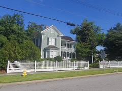
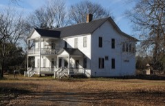
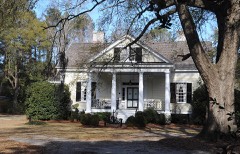
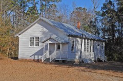
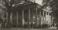
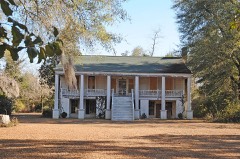
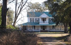
29 National Register listings published here.
Sources: the National Register database, National Park Service
57 topographic sheets and 21 fire insurance atlases across 3 places.
29 National Register listings published here.
Sources: the National Register database, National Park Service
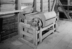
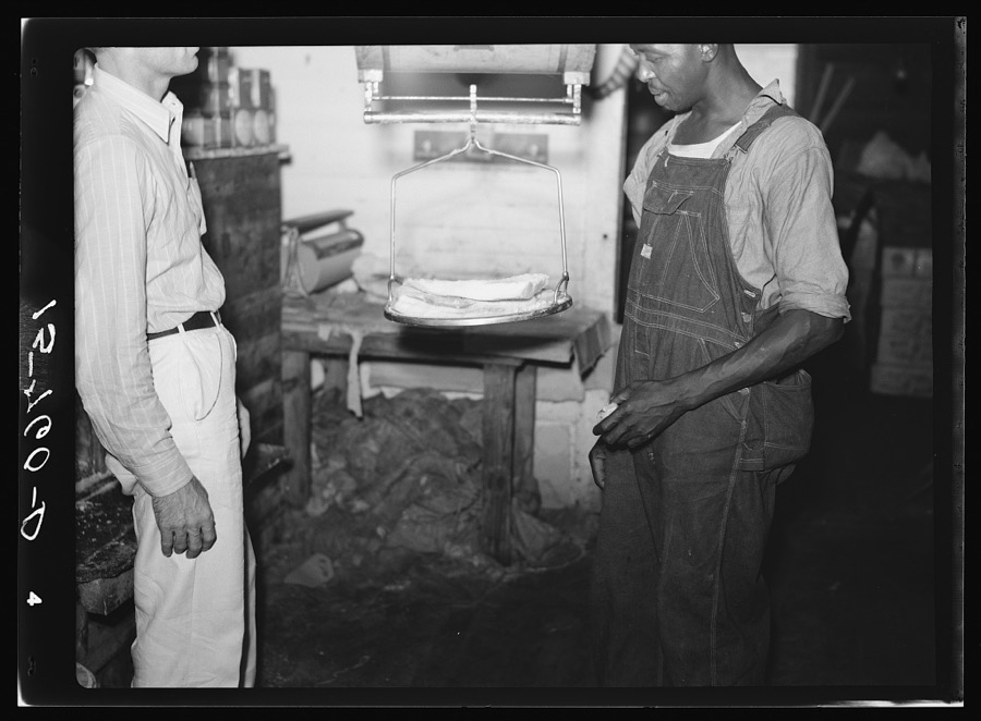
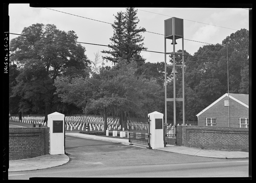
Taken for the Office of War Information and the Farm Security Administration, who photographed the country between 1935 and 1944. Works of United States government photographers, with no known restriction on use. Each opens its catalogue record.


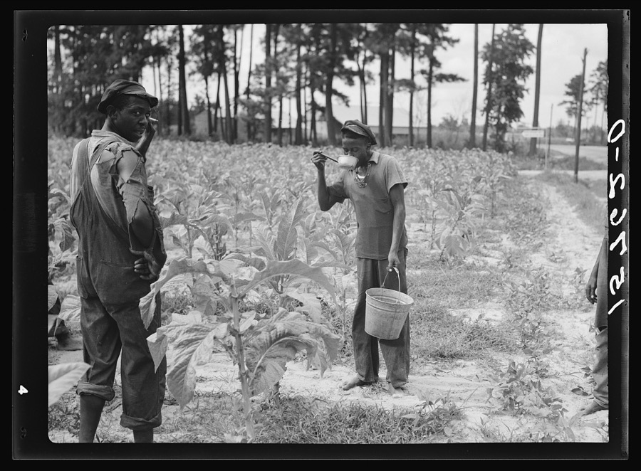
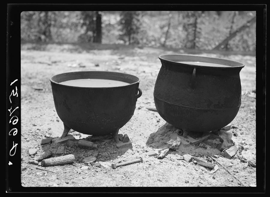
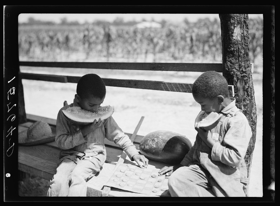
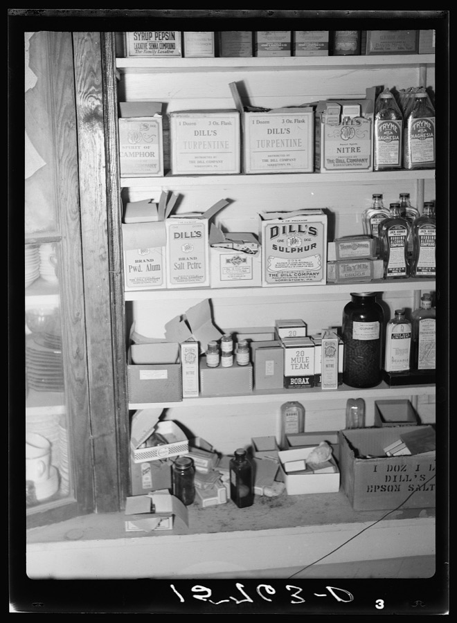
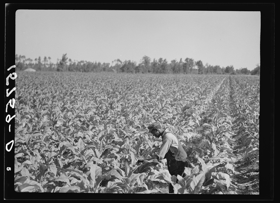
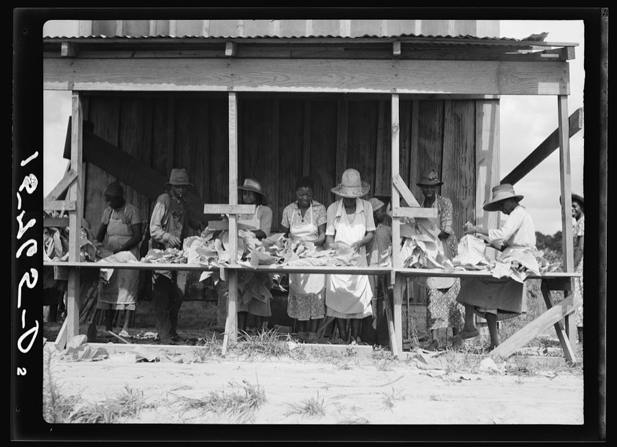

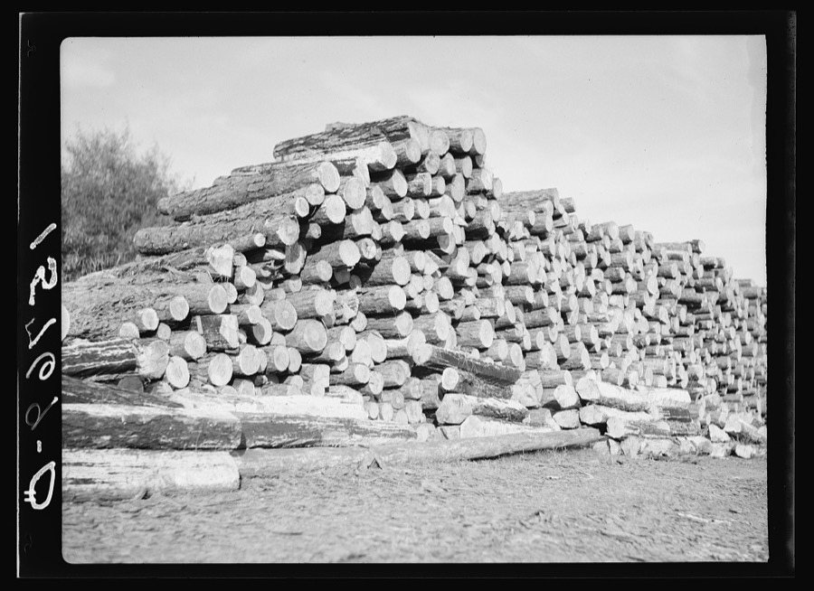
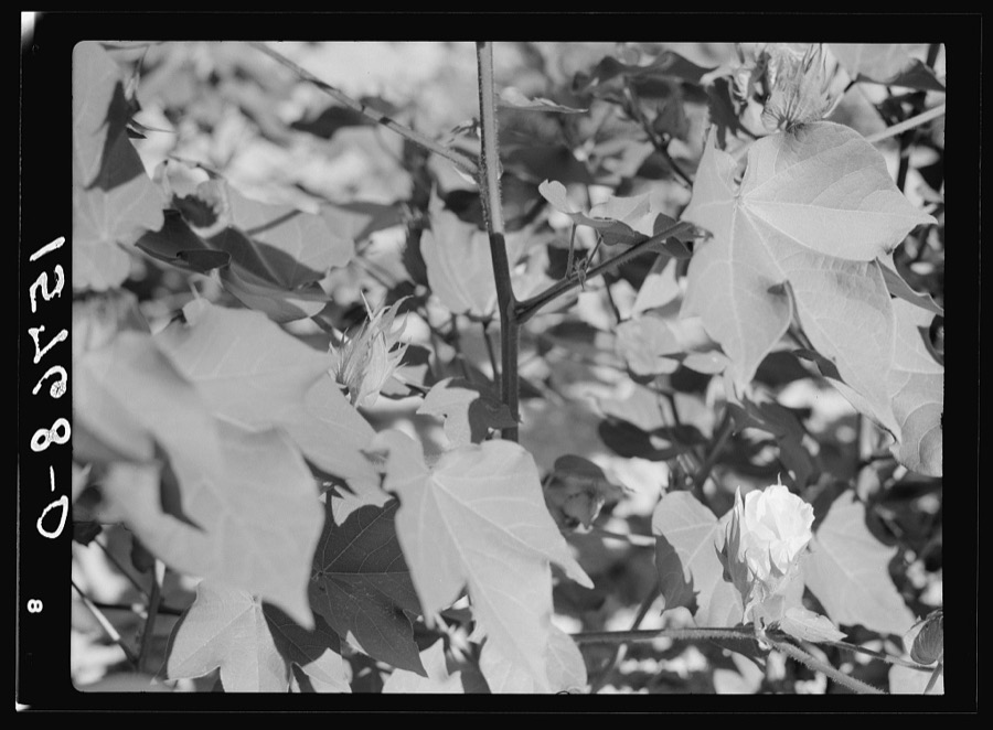
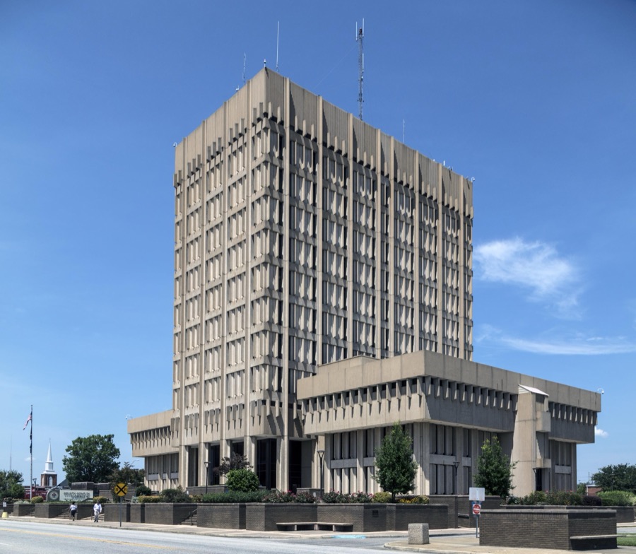
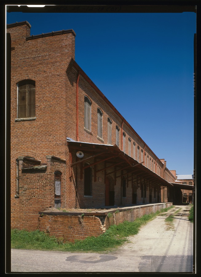
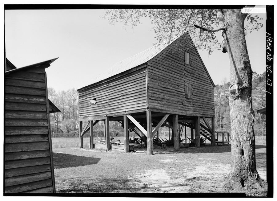
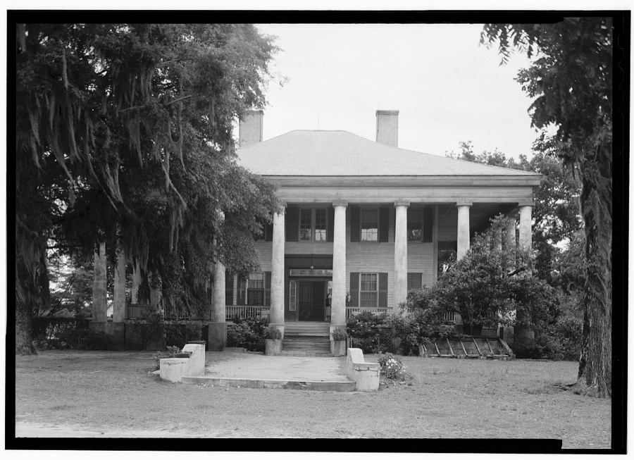
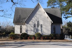
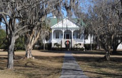
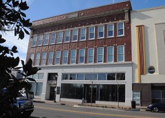
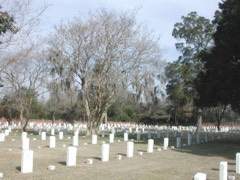
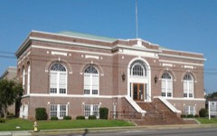
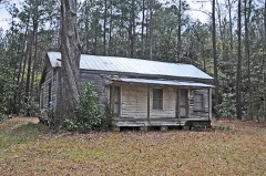
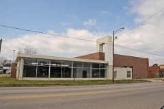
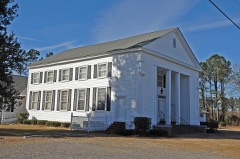
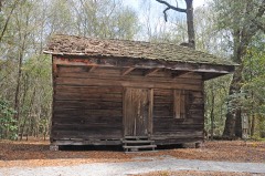
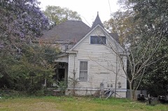
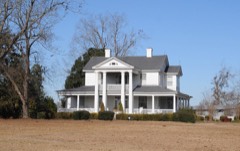
Every property in this county listed on the National Register of Historic Places, with the year it was listed and the federal nomination document.
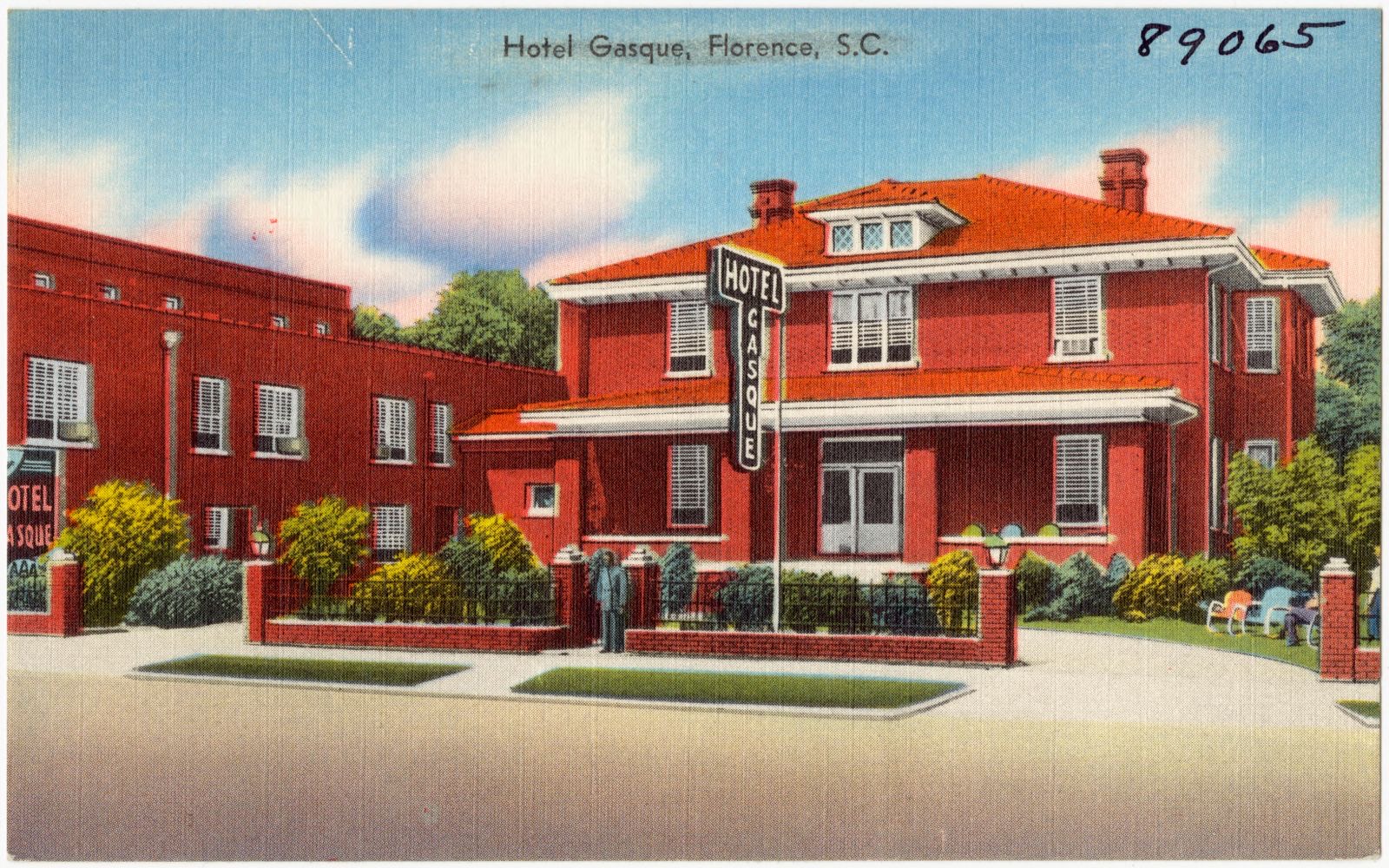
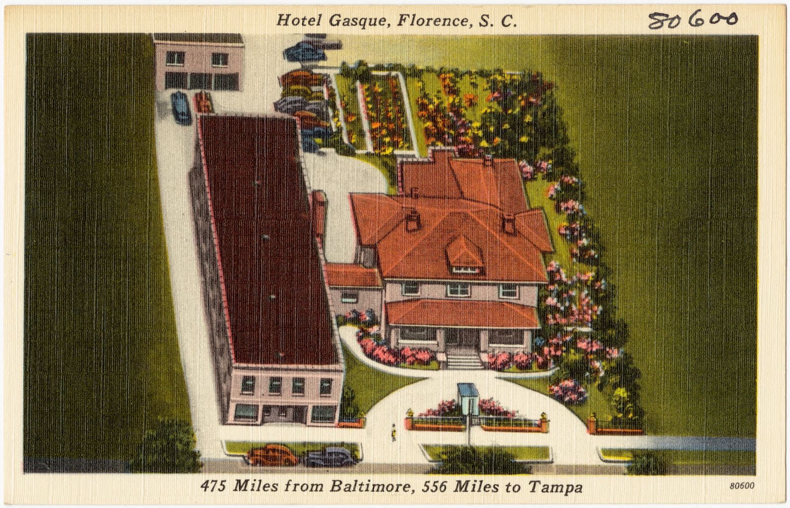
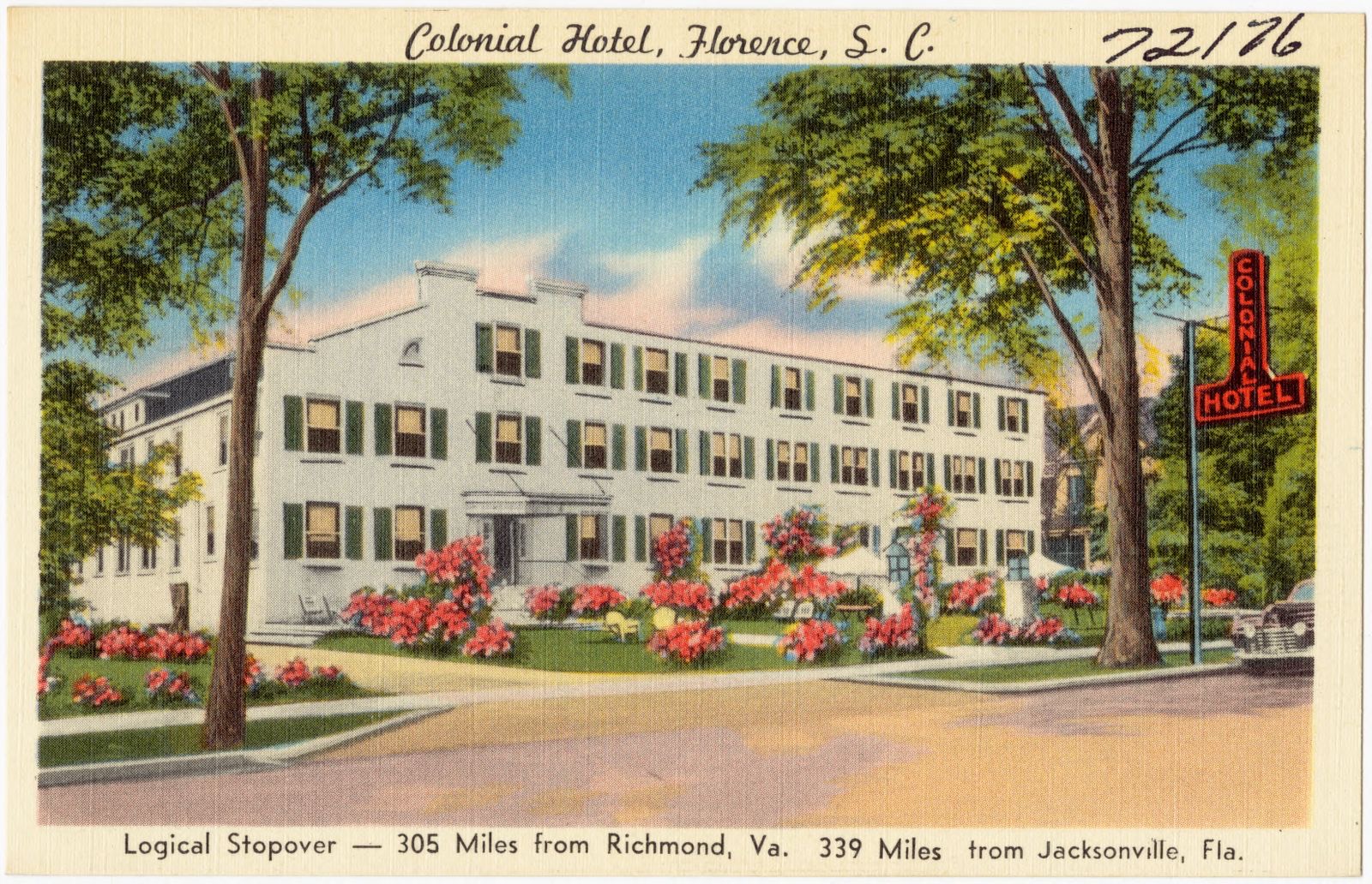
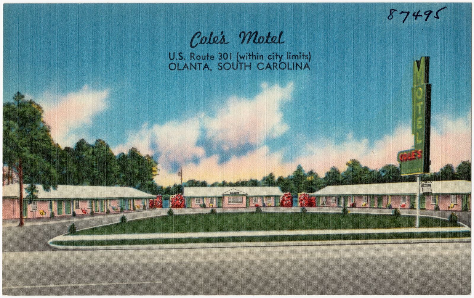
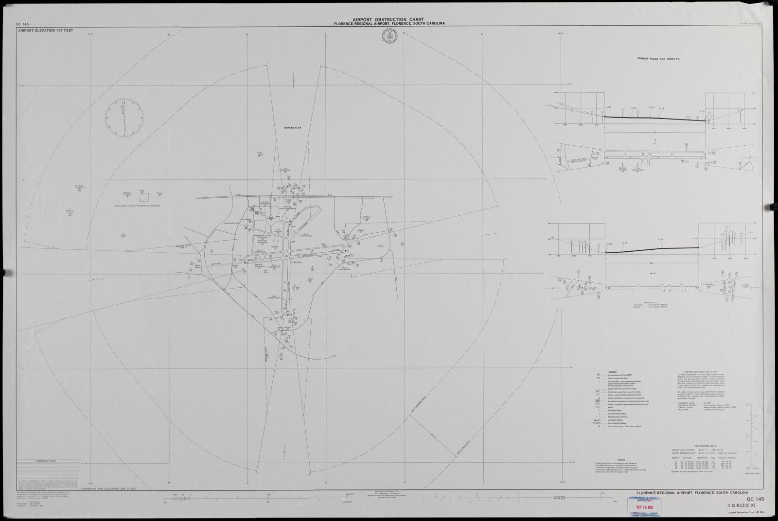
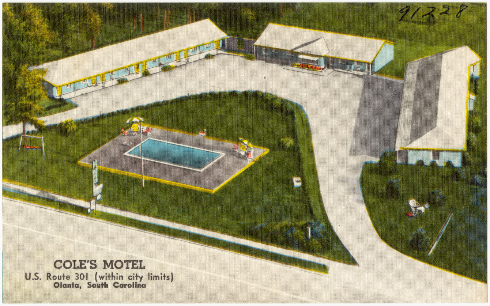
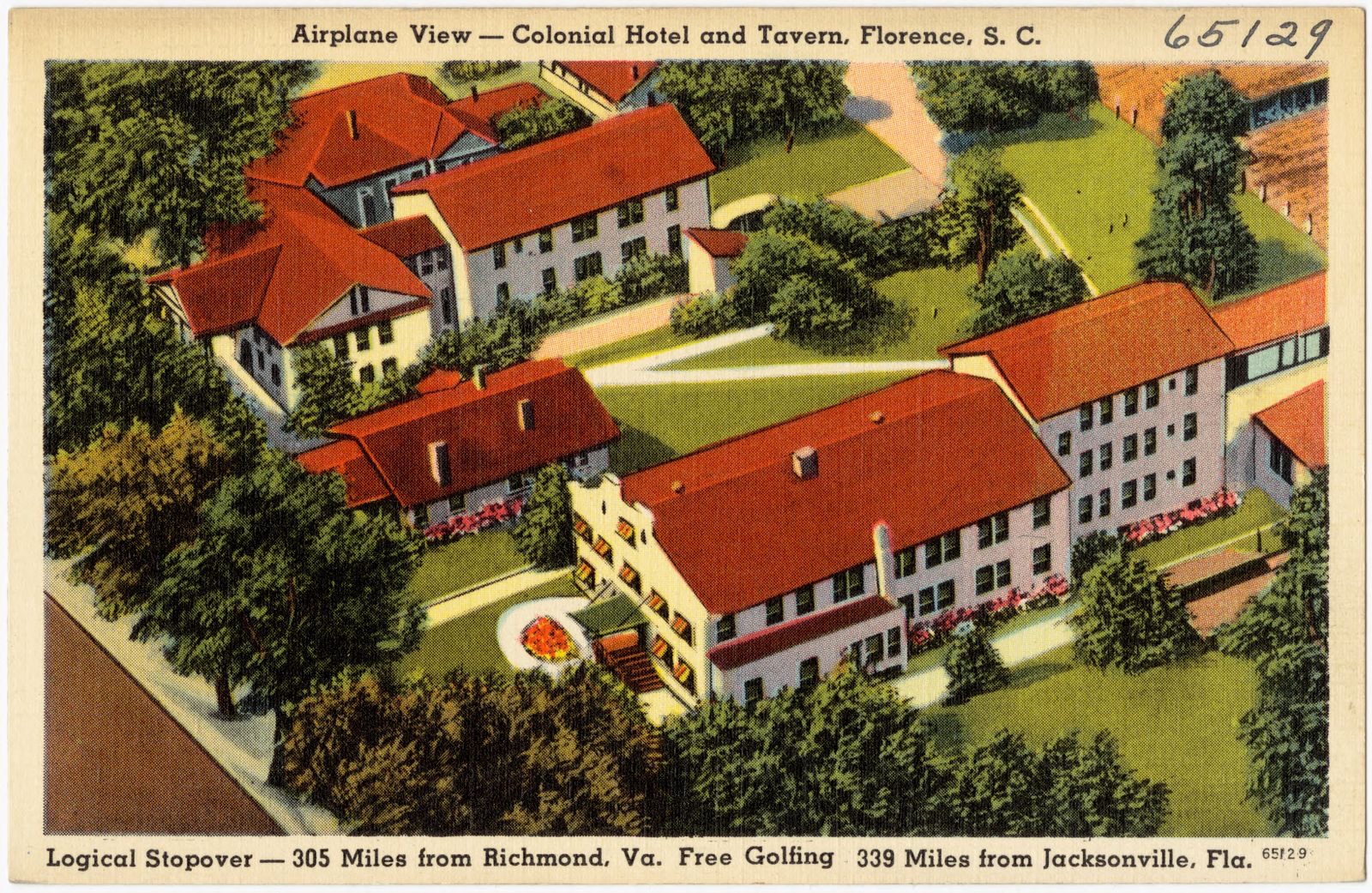
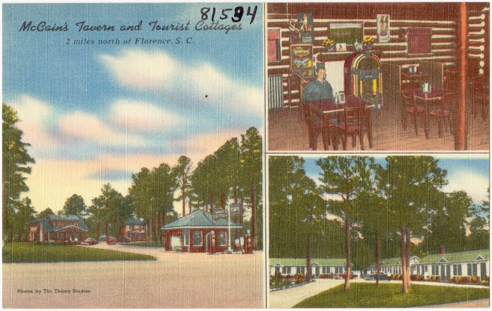
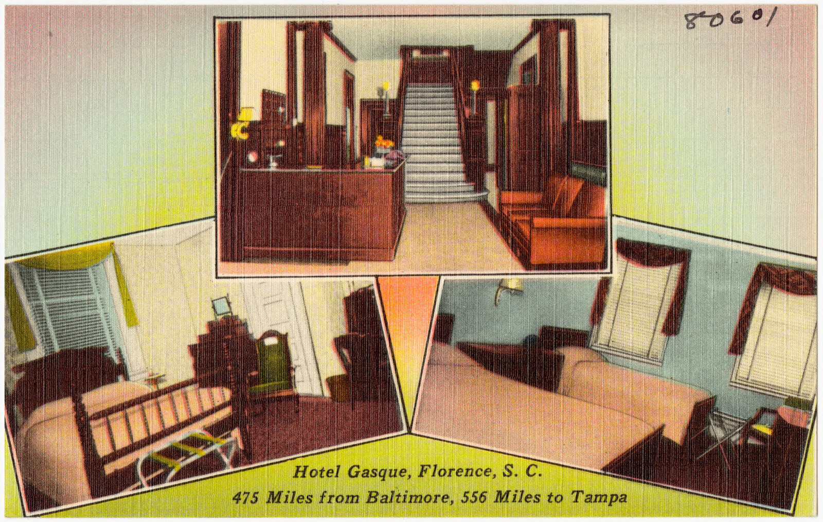
Selected from the Digital Public Library of America's 22 image records catalogued for this county. Every one shown here carries a public-domain status or a licence that permits reuse on a site that carries advertising; non-commercial, share-alike and restricted images are excluded. The selection is spread across the county's towns (at most eight per town), so no single institution's bulk upload crowds out the rest. Each opens the holding library's record, and the complete set at the Digital Public Library of America is one click away.

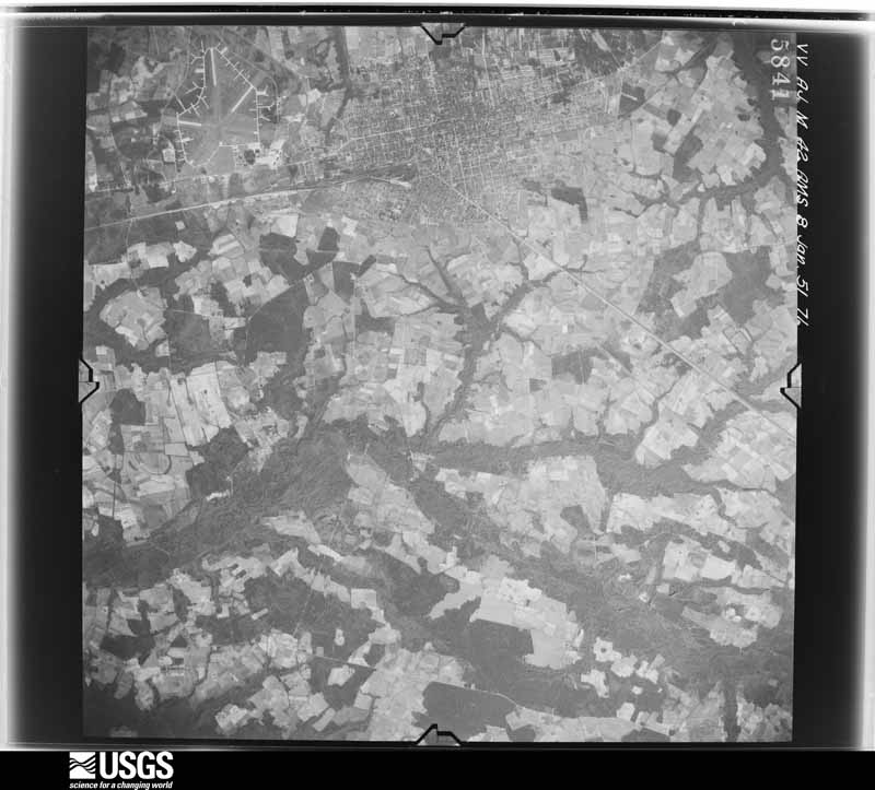
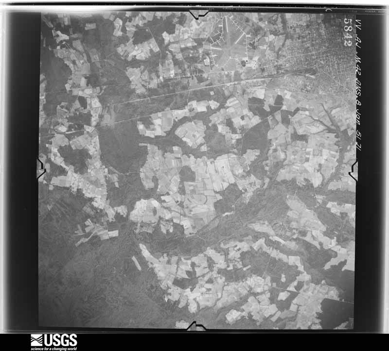
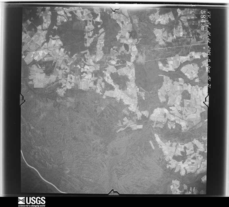
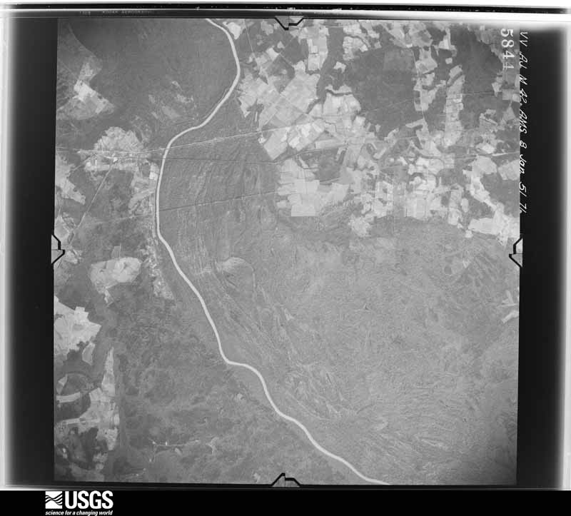
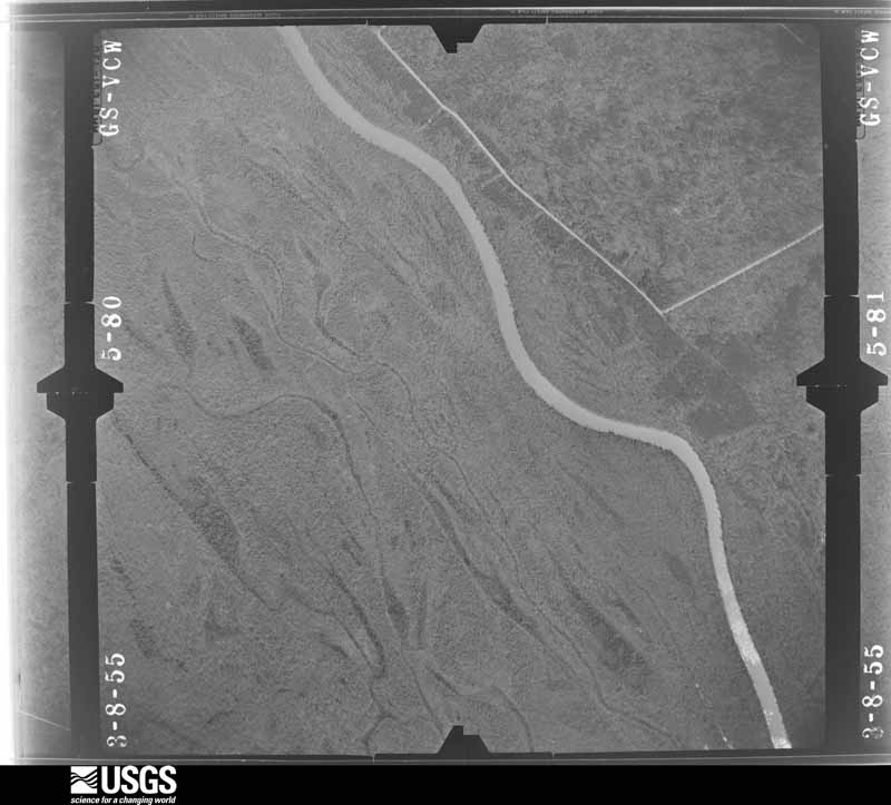
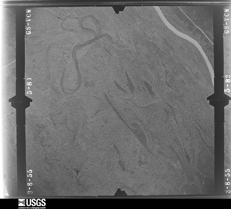
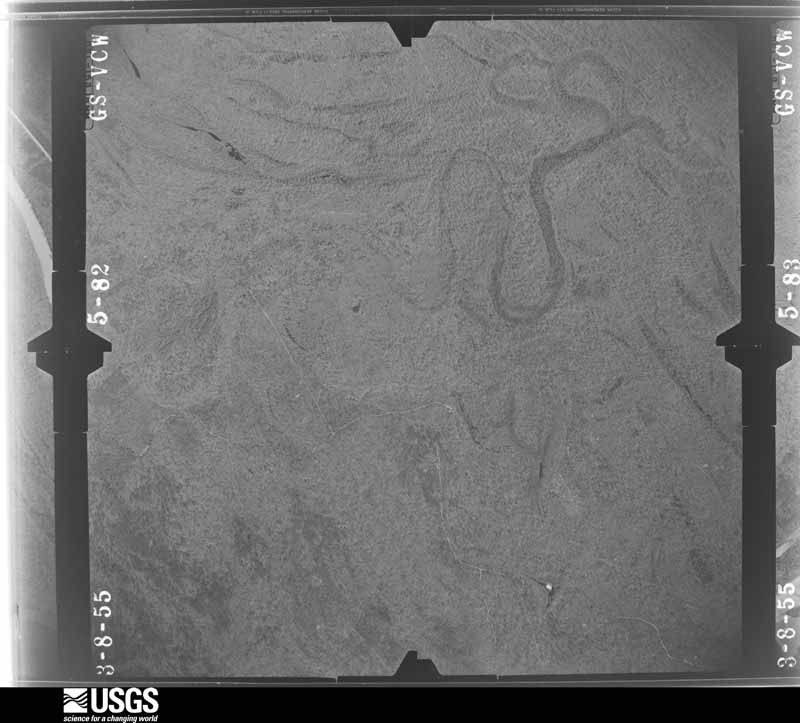
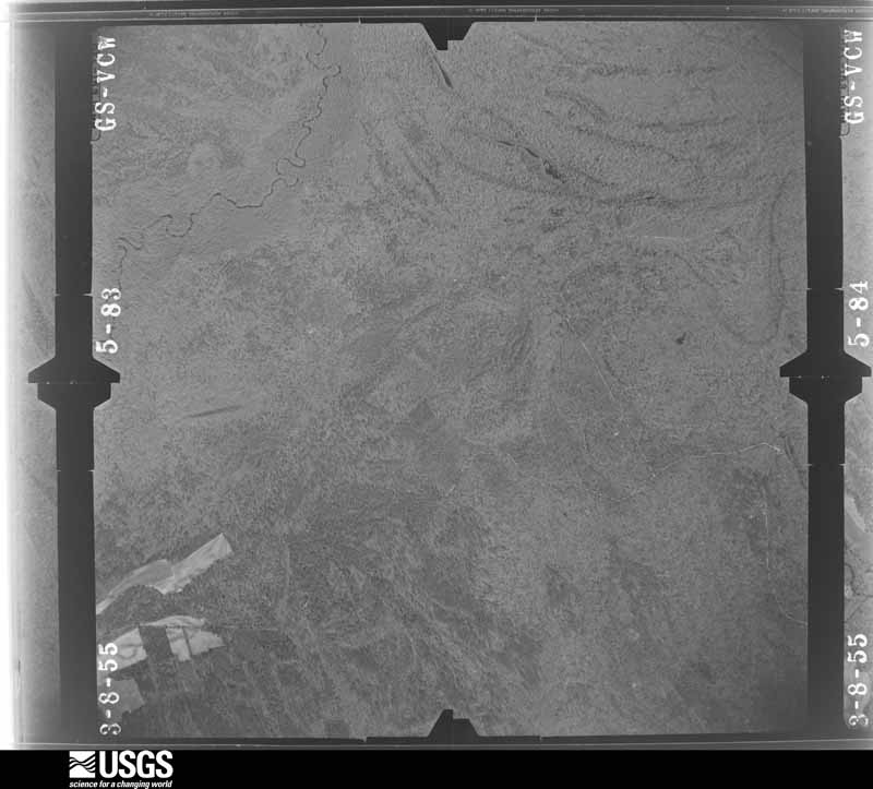
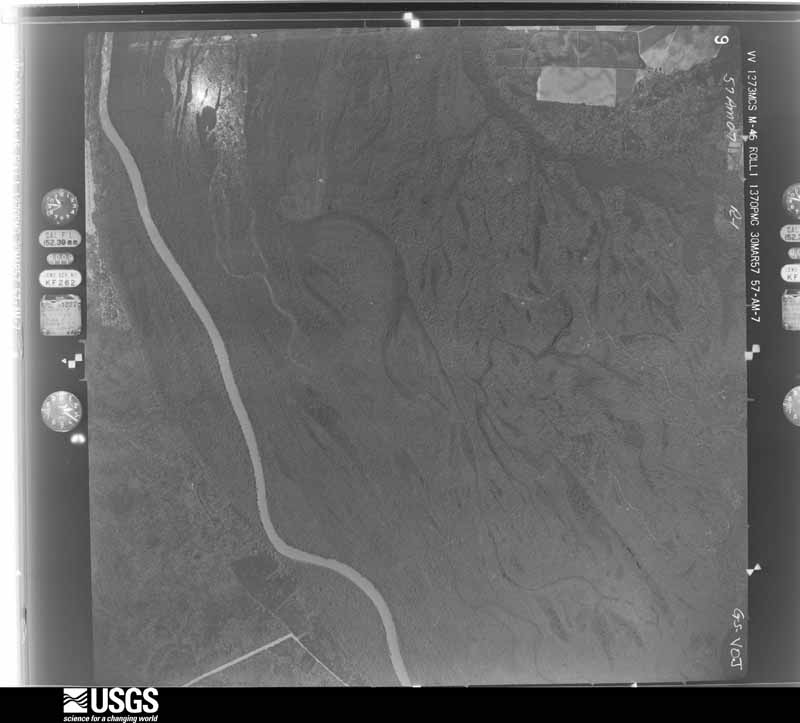
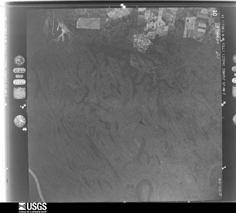
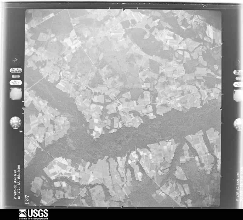
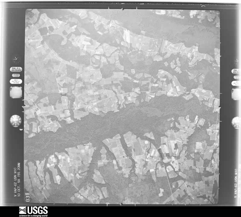
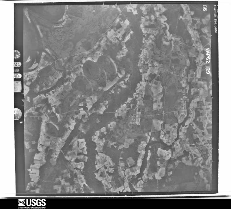
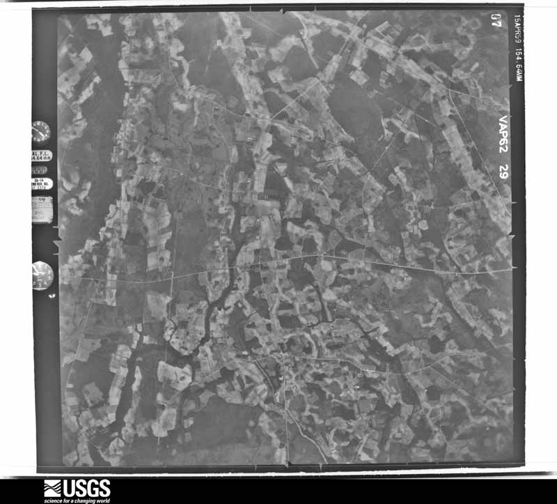
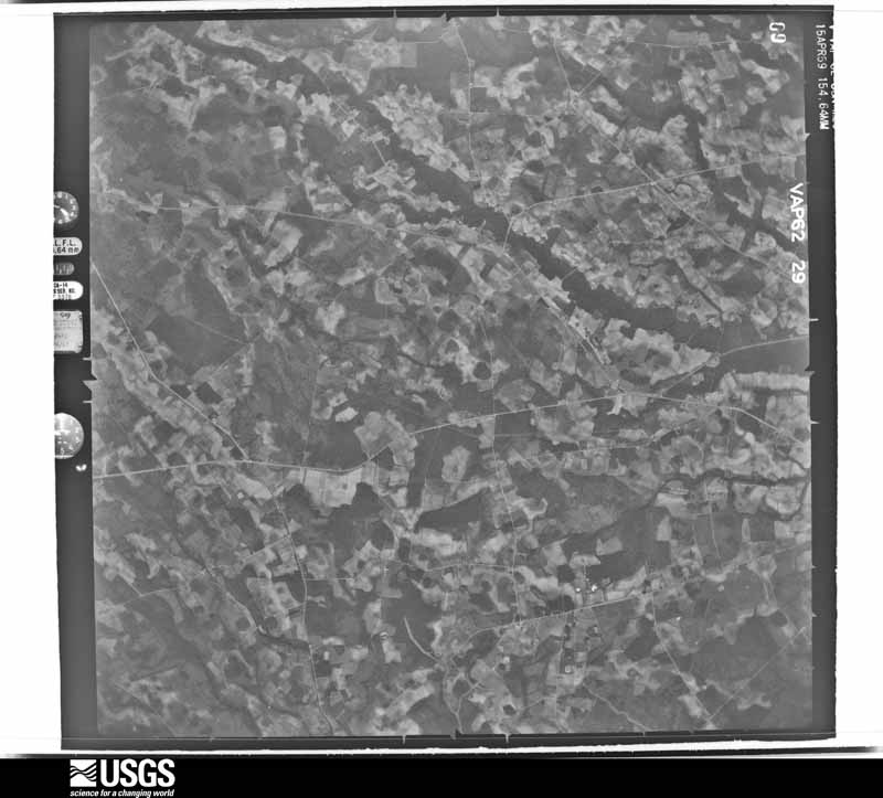
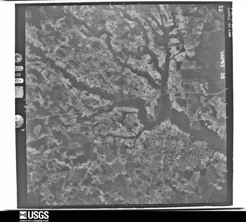
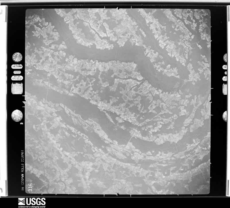
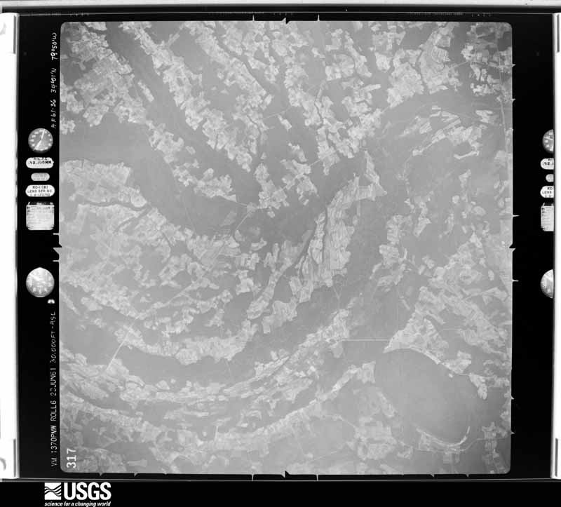
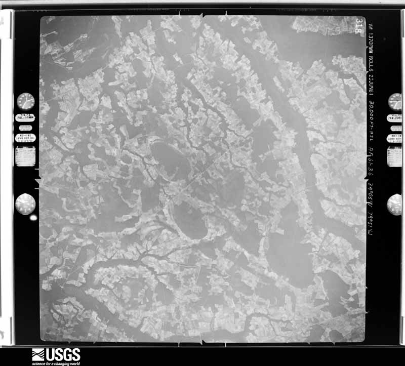
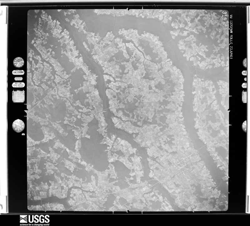
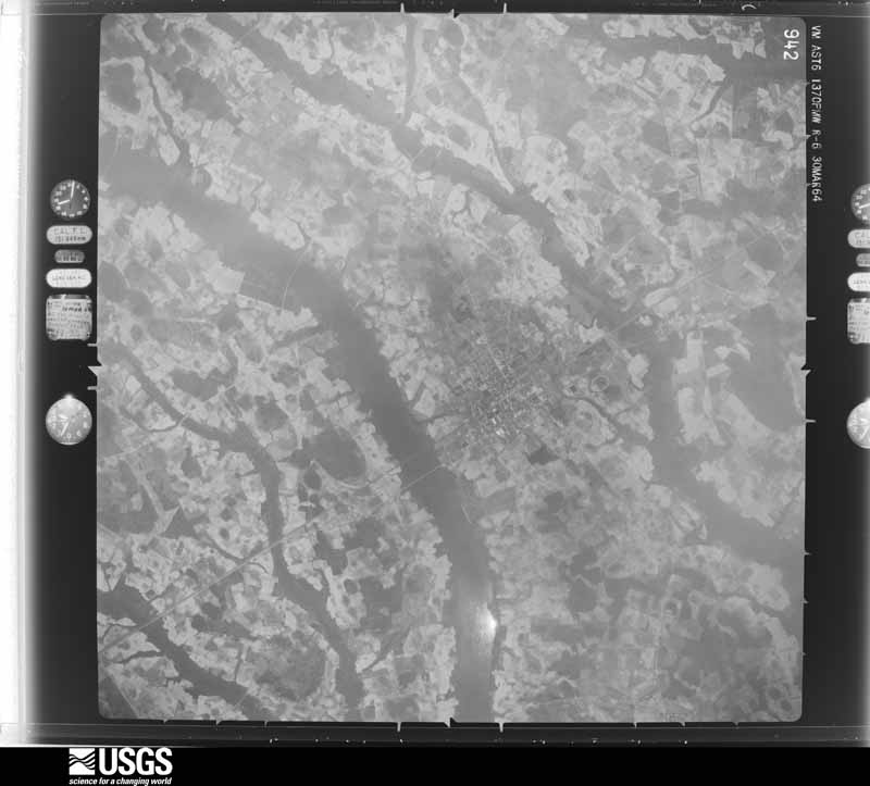
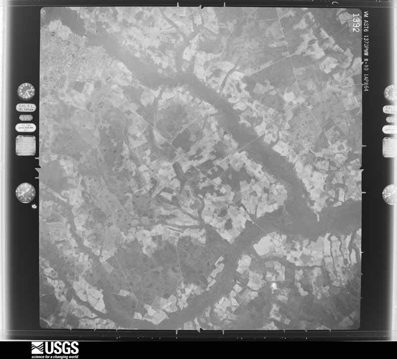
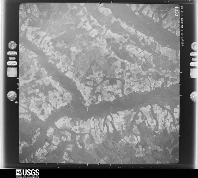
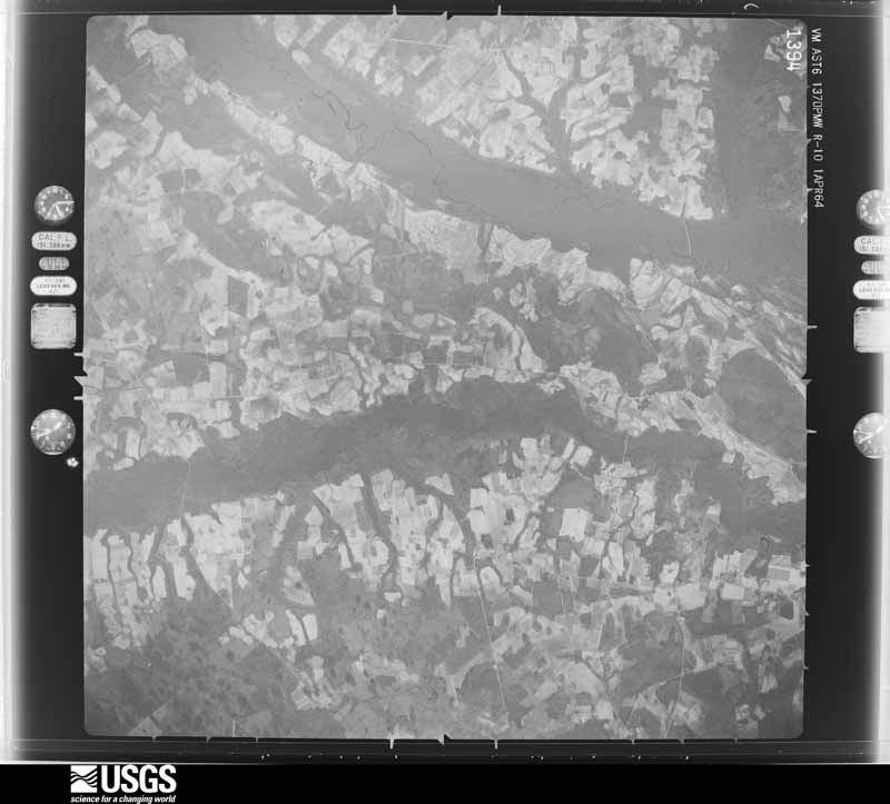
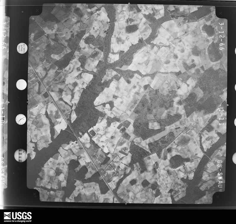
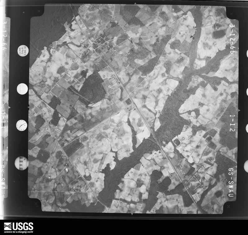
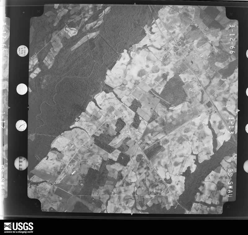
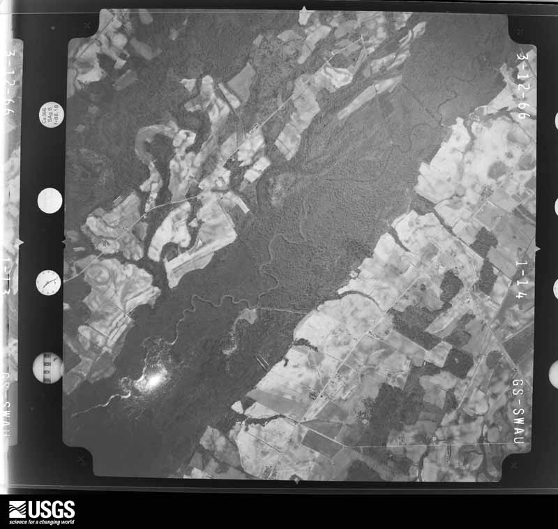
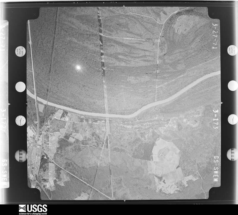
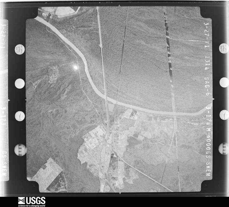
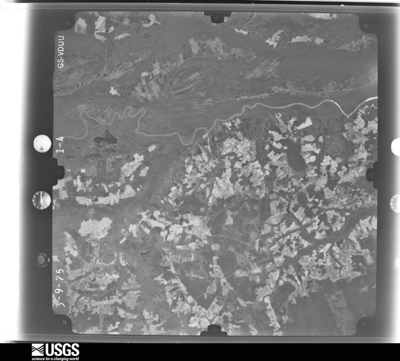
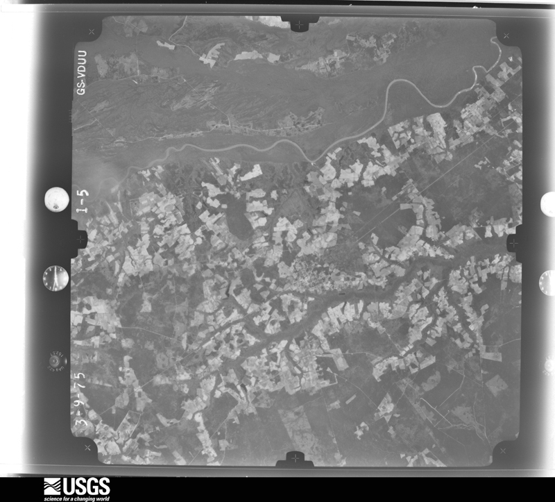
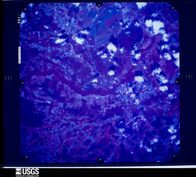
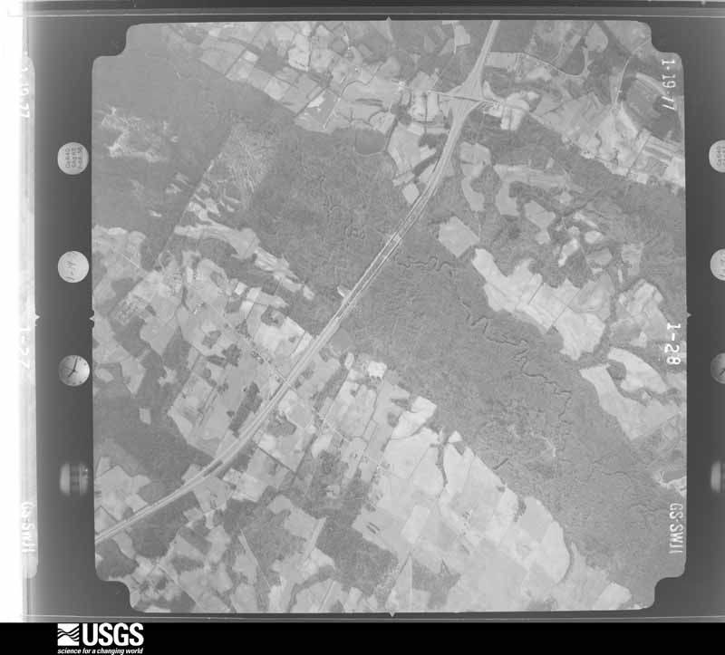
Flown by the U.S. Geological Survey between 1937 and 1989, the Aerial Photo Single Frames collection is the definitive mid-century view of the land: fields, roads and rivers as the camera saw them. The Survey holds 2,712 frames inside the rectangle that bounds this county; the 48 frames below were taken over the county itself, chosen across the decades of flights (at most four a year from that rectangle), so one flight cannot crowd out the rest. The full set is free to browse and download at EarthExplorer under the dataset Aerial Photo Single Frames.
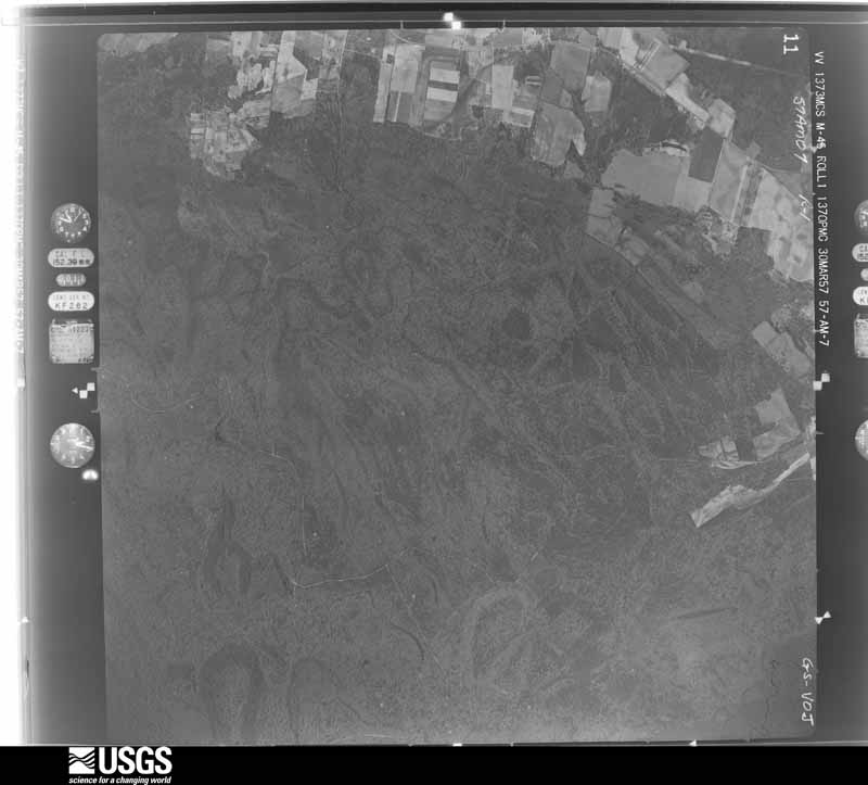
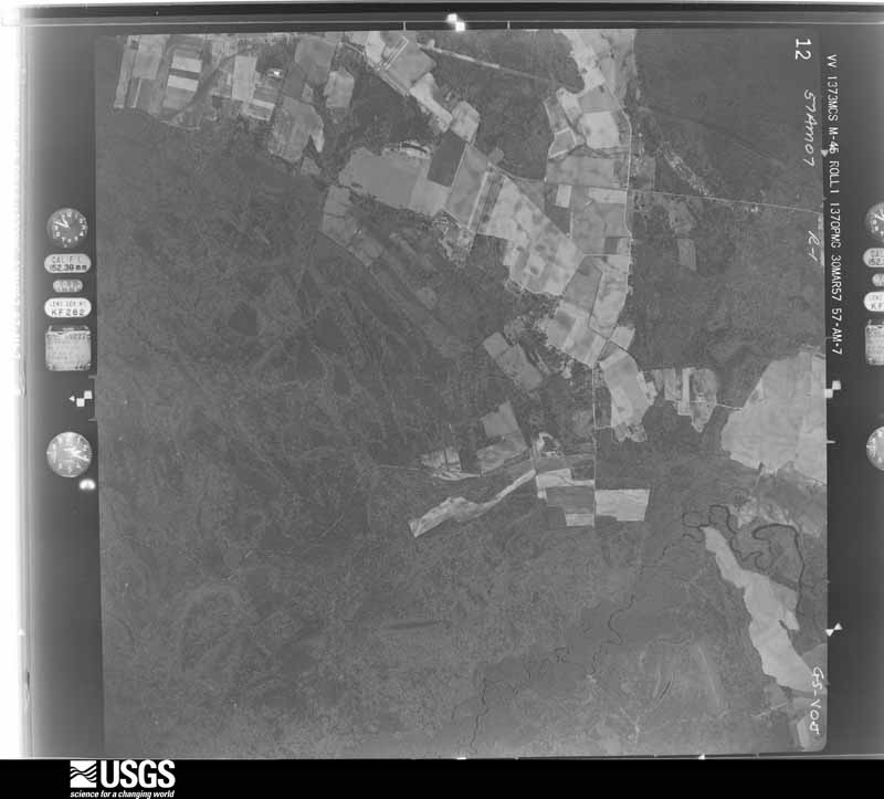
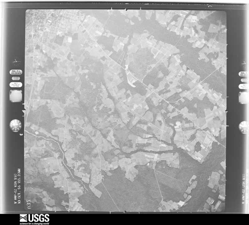
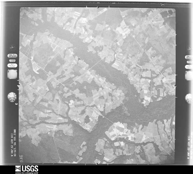
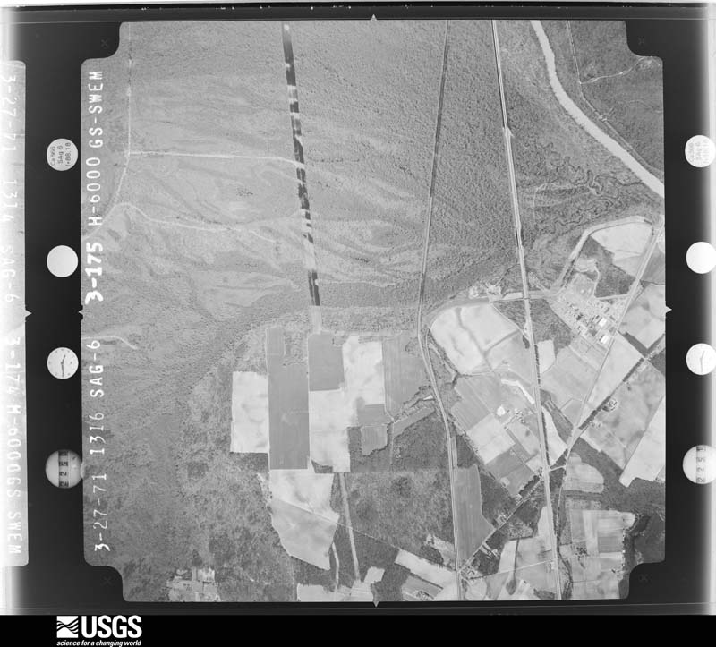
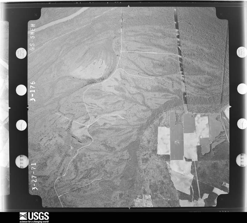




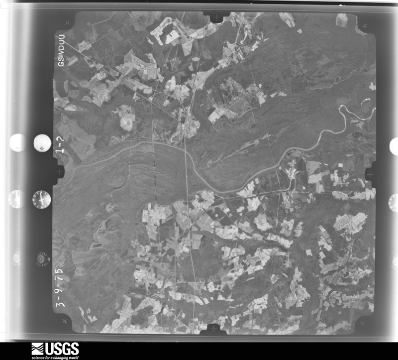
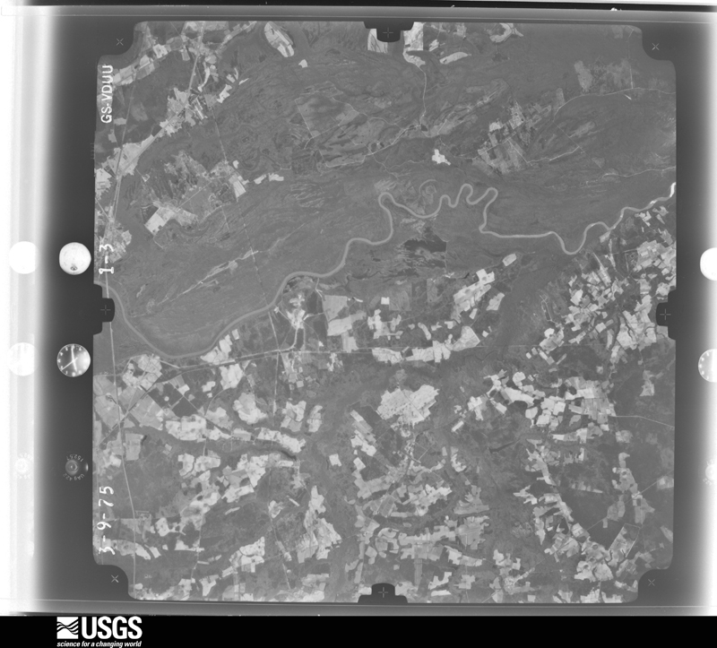


The thermometers that kept this county's weather, and the gages that measured the flow of its streams, as the federal records hold them. The extremes below are measured values from those records, not estimates.
Who lived here in 1950, one enumeration district at a time, as the Census Bureau described each district. Each row opens its official National Archives result, with Population Schedules and ED Maps available there.
Every wildfire the federal occurrence database records inside this county: 3,970 of them, burning about 22,727 acres. 56 started naturally and 1,063 were recorded as arson. Each settlement page carries the fires within five miles of it.
| Reported cause | Fires |
|---|---|
| Debris and open burning | 1224 |
| Missing data/not specified/undetermined | 1122 |
| Arson/incendiarism | 1063 |
| Equipment and vehicle use | 217 |
| Misuse of fire by a minor | 176 |
| Natural | 56 |
| Smoking | 48 |
| Recreation and ceremony | 20 |
| Power generation/transmission/distribution | 15 |
| Other causes | 14 |
| Railroad operations and maintenance | 10 |
| Fireworks | 5 |
The five largest, by the area the report gives. Three of them were set deliberately.
| Date | Cause | Size | Reported by | Name on the report |
|---|---|---|---|---|
| 19 April 2002 | Debris and open burning | 500 acres | South Carolina Forestry Commission | not named |
| 10 March 1993 | Missing data/not specified/undetermined | 404 acres | South Carolina Forestry Commission | not named |
| 12 November 2001 | Arson/incendiarism | 262 acres | South Carolina Forestry Commission | not named |
| 14 March 1992 | Missing data/not specified/undetermined | 250 acres | South Carolina Forestry Commission | not named |
| 11 March 2002 | Arson/incendiarism | 225 acres | South Carolina Forestry Commission | not named |
| 6 April 2002 | Debris and open burning | 200 acres | South Carolina Forestry Commission | not named |
| 9 July 1993 | Missing data/not specified/undetermined | 190 acres | South Carolina Forestry Commission | not named |
| 10 March 2002 | Arson/incendiarism | 180 acres | South Carolina Forestry Commission | not named |
Every settlement page carries the fires within five miles of it - see the settlement index below.
The NOAA Storm Events Database holds 631 reports for this county, causing 3 deaths, 49 injuries and about $50,410,530 in recorded property damage. Each settlement page carries the reports that name it.
| Kind of event | Reports |
|---|---|
| Thunderstorm Wind | 362 |
| Hail | 151 |
| Tornado | 35 |
| Flash Flood | 31 |
| Flood | 26 |
| Lightning | 16 |
| Heavy Rain | 8 |
| Funnel Cloud | 2 |
The most serious of them, by death, then injury, then recorded damage. The accounts are quoted exactly as the forecast office filed them.
| When | Event | Place named | Harm | What the report says |
|---|---|---|---|---|
| October 2016 | Flash Flood | Claussen | 1 killed, $500,000 | The Florence County Sheriff's Office Dive Team found a submerged vehicle at a bridge washout on National Cemetery Road Near Fire Tower Road. The car was found the next day. The lone male occupant was dead. The time was estimated. |
| October 2016 | Flash Flood | Kennedy Xrds | 1 killed, $100,000 | Rapidly moving flood waters swept a car and its occupant off Old River Road. The vehicle was later found 100 feet away from the roadway. The elderly man inside had died. The time was estimated. |
| September 1997 | Lightning | Florence | 1 killed | Deer hunter struck by lightning while climbing down from tree stand. |
| September 1994 | Tornado (F1) | Lake City | 11 hurt, $500,000 | A tornado, described as a big white twisting cloud, picked up two mobile homes, twisted them in the air and tore them apart; six other mobile homes were damaged. Three girls who saw the approaching tornado vacated one of the mobile homes before it was picked up and destroyed; a woman was thrown out of another mobile home and seriously injured. Three homes, six cars, and two businesses were damaged, also power lines and trees were downed, and eleven people (eight treated at local hospital and released) received minor injuries. The roof was blown off a lumber company's Show Room. |
| July 2013 | Tornado (EF1) | (Flo)Florence City-C | 9 hurt, $88,000 | A National Weather Service Storm Survey Team concluded an EF1 tornado developed near the South Carolina Armory between South Stadium Road and South Greer Road. The tornado snapped a large tree and limbs were down in this location. The tornado then moved north and across Highway 76 and then across East Sammys Lane, snapping trees and downing tree limbs along its path. A couple homes were damaged in the Battery Park subdivision. One home had approximately 30 percent of its roof structure removed. Trees were down across the subdivision. The tornado continued north and nearly parallel to Williamson Road causing dozens of snapped trees and large limbs to block a large section of the roadway. After crossing Williamson Road, the tornado downed and snapped trees in a stand in the middle of a large field. Then it entered a mobile home park on the south side of East Old Marion Highway, west of Highway 327. The tornado destroyed 10 mobile homes and 2 other homes sustained major damage. In addition, there were 18 mobile homes that sustained minor damage. Nine people sustained minor injuries and were transported to the hospital, two of which were actually trapped in their homes and had to be extricated. The tornado exited the mobile home park and crossed East Old Marion Highway, snapping more trees and damaging a section of fence along the road. The tornado dissipated on the north side of East Old Marion Highway prior to reaching Highway 327. The maximum wind speed was estimated to 105 mph. The maximum path width was 90 yards. The tornado covered a little more than 3 miles in approximately 11 minutes. The monetary damage estimate is $87,979 dollars. |
| May 1981 | Tornado (F2) | not stated | 6 hurt, $25,000 | no account filed |
| November 1995 | Tornado (F2) | Florence | 4 hurt, $200,000 | Tornado downed trees, destroyed one mobile home, destroyed 12 cars, and damaged Patriot Place Apts near Francis Marion College. |
| March 2008 | Tornado (EF1) | Cartersville | 3 hurt, $605,000 | A National Weather Service Storm Survey concluded a tornado developed near Crawfish Pond Road and Cartersville Highway, just to the southeast of Cartersville. The tornado moved east across Chaney Grove Road, near Rose Lane where it strengthened from an EF0 to an EF1 with winds estimated to 100 mph. The tornado weakened to EF0 as it crossed Thunder Road. The tornado reached EF1 again near Cale Yarborough Highway and Interstate 95. The tornado crossed Interstate 95 with EF0 damage noted near South Hill Road. The tornado peaked at 105 mph along W John Paul Jones Road, between Center Road and Langston Road. The tornado finally dissipated near Mccain Circle and Olanta Highway, just west of Effingham. Seventy six homes sustained minor damage. Damage to 4 homes was classifed as major and one home was completely destroyed. Eight mobile homes sustained minor damage. Damage to 5 mobile homes was classified as major and 9 mobile homes were completely destroyed. There were 2 businesses that sustained major damage. There were 13 barns and sheds completely destroyed, 3 others sustained major damage. There were 3 minor injuries, including a 3 year old boy who had to be extricated from a structure. Three horses and 3 cows were killed. The maximum path width was 100 yards. The path length was about 13 1/2 miles. Florence County officials estimated the damage at $605,000 dollars. |
| May 2000 | Hail | Florence | 2 hurt, $30,000,000 | A severe thunderstorm developed west of the city of Florence and moved east. The damage began on the southwest side of the city with reports (including ham radio, media, and spotters) of large hail and wind gusts estimated over 80 mph. The largest hail size was estimated at 4 1/2 inches, which caused extensive damage over $6 million to more than 2000 homes, mainly roof and siding damage.The hail and wind blew out many windows, injuring one person with flying glass. The storm knocked out power to over 20,000 residences. Damage to vehicles was even more costly. Several automobile dealerships sustained major damage to nearly every car in their lots...totaling around 1000 vehicles. One man was injured in his vehicle when a hailstone crashed through his windshield, causing facial lacerations. In addition, the storm produced flash flooding, with many streets rendered temporarily impassable. A National Weather Service damage assessment reported dozens of trees damaged and snapped...was concluded to be due to straight-line winds and hail, not a tornado. An automated weather observation station at the Florence airport, just east of the city, recorded a peak wind of 59 mph. |
| June 1980 | Tornado (F1) | not stated | 2 hurt, $250,000 | no account filed |
| January 1953 | Tornado (F2) | not stated | 2 hurt, $250,000 | no account filed |
| August 2006 | Thunderstorm Wind | Johnsonville | 2 hurt, $25,000 | A tree fell on a house on North Butler Ave. Two children in the home were injured and were transported to the hospital with head and back injuries. |
| June 1987 | Thunderstorm Wind | not stated | 2 hurt | no account filed |
| June 2006 | Lightning | Florence | 1 hurt, $200,000 | Lightning started several fires that affected five homes. One person was injured. Nickel size hail was also reported. |
| July 2009 | Thunderstorm Wind | Windy Hill | 1 hurt, $50,000 | An 18-wheeler truck was rolled over by the wind on TV Road. The driver of the vehicle was injured and transported to the hospital. Trees were reported down on Trey Chase Drive. A large tree fell onto two mobile homes on Laurel Lane. |
| August 2006 | Thunderstorm Wind | Coward | 1 hurt, $50,000 | A mobile home, anchored to a concrete foundation, was flipped over on Cockfield Rd. The resident was taken to the hospital with a contusion to the head, as well as cuts and bruises and an injured arm. A nearby tree was splintered and pushed over. |
| June 1998 | Thunderstorm Wind | Florence | 1 hurt, $40,000 | no account filed |
| August 2015 | Lightning | Florence | 1 hurt | Lightning struck a 19 year old male on a football field at Carver Elementary school. He was resuscitated by the Florence City Fire Dept, and was transported to the local emergency room. He was in serious but stable condition. |
| August 1993 | Thunderstorm Wind | Florence Airport | 1 hurt | Thunderstorm winds knocked out power in several ares and blew down trees in many parts of Florence. One man was cut when the windows in his car were blown out. Windows blown out of approximately 20 cars. |
| October 2015 | Flood | New Hope | $10,000,000 | Around 15 inches of rain fell over the course of a few days, sending the Lynches River out of its banks and it continued rising to a major flood. The river crested at 19.73 feet, the highest level since 1945, and the third highest ever. Over two hundred homes were inundated, with evacuations necessary. The town of Johnsonville also saw its share of flooding along the Lynches River. |
| May 2006 | Tornado (F2) | Florence | $1,300,000 | A Storm Survey concluded a tornado moved through the Glendale community of Florence. The majority of damage was F1 with a path 1000 yards long and up to 150 yards wide. There was a small area (150 yards long 20 yards wide) of heavier F2 damage, with winds estimated at 120 mph. Sixty homes were damaged, six of which had major structural damage, largely due to snapped and uprooted trees. The Quinby area had penny to golfball size hail, with trees and power lines down. The Florence county tax assessor estimated the damage at 1.3 million dollars. |
| October 2016 | Flash Flood | Florence | $1,000,000 | Several roads were reported flooded out and closed. Numerous structures were inundated by flood waters. There were 7 water rescues reported within the city limits of Florence. |
| October 2016 | Flash Flood | New Hope | $700,000 | Portions of Friendfield Road were flooded. Several adjacent roadways and numerous structures were impacted by the flood waters. |
| October 2016 | Flash Flood | Howe | $500,000 | Flood waters were rushing across Alligator Road. The depth of the water was estimated up to one foot. Nearby roadways and structures were impacted by the flood waters. |
| July 2008 | Lightning | Howe | $500,000 | Lightning struck Dawsey United Methodist Church and burned it to the ground. |
| October 2016 | Flash Flood | Windy Hill | $275,000 | Flood waters covered portions of TV Road and McIver Road. Nearby roadways and structures were impacted by the flood waters. |
| July 2016 | Thunderstorm Wind | Johnsonville | $255,000 | The roof at Johnsonville Middle School on Maple Avenue sustained significant damage. The Shady Rest Family Restaurant reportedly sustained some damage as did another building housing the Prosser Law Firm, both located on S Georgetown Highway. The time was estimated based on radar data. |
| May 2006 | Tornado (F1) | Florence | $250,000 | National Weather Service conducted a Storm Survey and concluded an F1 tornado with winds estimated around 100 mph snapped and uprooted trees and several buildings sustained structural damage along a path 600 yards long and 15 yards wide in an industrial area along Koppers Rd near Southeastern Steel and Koppers plants. Three 18 wheeler tractor trailers were flipped and all of the windows in an office building were blown out. |
| August 2004 | Flash Flood | Lake City | $200,000 | Heavy rains from the remnants of Tropical Storm Gaston totaled around 6 inches in a few hours, causing flooding...especially in the Lake City and city of Darlington areas. |
| August 1996 | Flash Flood | Florence | $200,000 | no account filed |
| June 2007 | Thunderstorm Wind | Lake City | $100,000 | A roof was blown off a store. A large billboard was torn apart. Wooden bleachers were destroyed, with trees down of various sizes. Both a Hardees and a Dominos sign were blown apart. Damage occurred along US Hwy 378. |
| October 2015 | Flash Flood | Ebenezer | $80,000 | Flood waters reportedly washed out Pelican Lane near Lake Oakdale Drive. |
| June 1998 | Tornado (F0) | Scranton | $80,000 | no account filed |
| July 2019 | Thunderstorm Wind | Johnsonville | $75,000 | A large tree was blown down on a house in Johnsonville. |
| April 2019 | Thunderstorm Wind | Lake City | $75,000 | A large tree was blown down on a house on Dansing St. |
| July 2004 | Lightning | Florence | $75,000 | Lightning struck a home on Rutledge Avenue, causing significant damage. |
| August 2002 | Lightning | Florence | $75,000 | Lightning struck a home on Claremont Ave. The fire completely destroyed the home. |
| October 2015 | Flash Flood | Pamplico | $70,000 | Roadway collapsed due to flood waters. A person attempting to retrieve his vehicle from the flooded area was swept away by water. He was rescued by the sheriff's department and was not injured. |
| June 1998 | Thunderstorm Wind | Lake City | $70,000 | no account filed |
| May 1999 | Tornado (F1) | New Hope | $60,000 | no account filed |
| February 2013 | Thunderstorm Wind | Ebenezer | $52,000 | Several trees were reported down along a right of way between Ebenezer Road and Hoffmeyer Road. Some of the trees were reportedly rotted near their bases. The tops of a couple healthy pine trees were snapped. Some of the trees fell across large power transmission lines causing serious damage and a significant power outage. At the peak of the outage, there were reportedly 14,000 people without power. The time was estimated based on radar data. |
| September 2020 | Tornado (EF0) | Sardis | $50,000 | The tornado was first observed by the public touching down in a|field north of Sardis Hwy, but east of Dogwood Road. The tornado|emerged from the Sparrow Swamp and caused some damage to a single|wide and double wide along Twin Bridge Rd. The tornado crossed S.|Hill Rd then across open fields until it reached E. Twin Church|Rd where it caused some tree damage. The tornado then paralleled|Young Rd before crossing I-95 near Honda Way. The tornado|dissipated north of Honday Way near the Lake Swamp. One|individual was injuried at Twin Bridge Rd within 15 minutes of|the tornado as he was clearing debris from a mobile home. |
| June 2019 | Thunderstorm Wind | Fendall | $50,000 | Several trees were blown down on two mobile homes. |
| April 2019 | Tornado (EF0) | Olanta | $50,000 | The brief EF-0 tornado touched down south of Woods Bay Rd and west|of Highway 31 near Olanta, SC. The tornado moved toward the |north-northeast and prior to crossing Woods Bay Rd caused minor |damage to a house, lifted a large roof off of a large outbuilding|and shed, and caused several trees to be uprooted. The tornado|crossed Woods Bay Rd causing some damage to trees as it lifted in|the vicinity of Douglas Swamp. |
| February 2016 | Lightning | (Flo)Florence City-C | $50,000 | Lightning struck a tree which fell on a house, damaging several rooms. |
| August 2015 | Thunderstorm Wind | Windy Hill | $50,000 | Numerous trees and power lines were either reported down or snapped along E Palmetto Street. Some trees fell onto homes and cars causing some damage. There were numerous people without power. There was reportedly minor damage to small sheds as well. The time was estimated based on radar data. |
| July 2013 | Flood | Florence | $50,000 | A large portion of the city of Florence had minor to moderate flooding. Nearly four inches of rain fell in two to three hours, with multiple flood warnings and advisories issued. The following is a list of some of the street flooding that occurred: Flooding at I-95 and Hwy 52, water up to the car doors. Cheves Street at the train overpass was closed due to flooding. Disabled vehicles from flooding at Pamplico Hwy and Church St. Flooding at the 900 block of S Dargan Street with disabled vehicles. Much of Palmetto Street was flooded with more disabled vehicles. A foot of water on David McCloud Blvd. Flooding at the 400 block of Dargan as well as Brittany Drive at South Cashua Drive. One foot of water on Church Street near the BI-LO with flooding reported at Sumter Street. |
| May 2003 | Thunderstorm Wind | Florence | $50,000 | The roof of a convenience store was partially blown off and a set of double doors were blown out. |
| September 1994 | Hail | Lake City area | $50,000 | Thunderstorm producing large "clumps" of hail accompanied passage of tornado. |
| July 2012 | Thunderstorm Wind | Mars Bluff | $45,000 | Numerous trees, estimated to be more than 30, were reportedly down along and near U.S. 76 and in the Francis Marion University area. Some of the trees knocked down power lines as they fell. A roof was also reportedly blown off a poorly constructed building. |
| July 2017 | Lightning | Savannah Grove | $40,000 | Lightning struck a home on Jefferson Drive in Florence. The flames were coming up through the roof off the garage. The fire was contained fairly quickly and the damage was limited to where the lightning struck. No injuries. |
| July 2004 | Thunderstorm Wind | Florence | $40,000 | In the 1700 block of Florence, strong winds blew shingles off of roofs, blew a large billboard over, and snapped several trees that fell on parked cars. |
| September 2020 | Thunderstorm Wind | Timmonsville Arpt | $30,000 | Trees down on I-95, exit 153. A tree was blown down on a house on Twinn Bridge Rd. |
| April 2011 | Thunderstorm Wind | Scranton | $30,000 | A large, poorly constructed warehouse lost part of its roof. There was also structural damage to a door and walls. A steel billboard sign was also damaged. The damage occurred in the 2200 block of Highway 52. At one point, up to 4600 people were reportedly without power, but most had service restored within 30 minutes. The time was estimated based on radar data. |
| May 2011 | Hail | Hannah | $30,000 | Hail to the size of softballs reportedly broke a car window. |
| July 2004 | Thunderstorm Wind | Johnsonville | $25,000 | Strong winds on a farm off of Railroad Avenue peeled back a tin roof. Shingles were also blown off of several homes, and a garage door was blown in. |
| August 1999 | Thunderstorm Wind | Florence | $25,000 | Thunderstorm wind and lightning were the cause of downed trees causing a power outage to 2500 customers. |
| September 1998 | Thunderstorm Wind | Pamplico | $25,000 | A thunderstorm microburst struck near Hannah-Pamplico High School, felling trees and power lines. One car was totaled and others were dented. |
| July 1983 | Tornado (F1) | not stated | $25,000 | no account filed |
| August 1973 | Tornado (F1) | not stated | $25,000 | no account filed |
The Survey's mineral resources record lists 11 workings inside this county. 6 still produce and 5 are closed or unrecorded. Each settlement page carries the workings within five miles of it.
| Commodity | Workings |
|---|---|
| Sand and Gravel, Construction | 10 |
| Sand | 1 |
The least common of them first, because a county's hundredth gravel pit says nothing its first ten did not.
| Where | Site | Commodity | Status | Recorded |
|---|---|---|---|---|
| Johnsonville Plant | Sand | Producer | Sedimentary | |
| Asphalt Plant #8 | Sand and Gravel, Construction | Producer | Sedimentary | |
| Black Creek Pit | Sand and Gravel, Construction | Producer | ||
| Johnsonville Mine | Sand and Gravel, Construction | Producer | ||
| Johnsonville Plant | Sand and Gravel, Construction | Past Producer | Sedimentary | |
| Kingsbury Mine | Sand and Gravel, Construction | Producer | ||
| No. 8 Pit | Sand and Gravel, Construction | Past Producer | ||
| Quinby Pit | Sand and Gravel, Construction | Past Producer | ||
| Quinly Pit | Sand and Gravel, Construction | Plant | ||
| Salem Pit | Sand and Gravel, Construction | Unknown | Sedimentary | |
| Salem Pit | Sand and Gravel, Construction | Past Producer |
Named settlements recorded in the Geographic Names Information System, each with the topographic sheets covering it. Villages, hamlets and abandoned places alike. Each is shown with the nearest named watercourse or landform and the survey quadrangle it falls on. The 3 places that were also surveyed for fire insurance come first, with the number of atlases and photographs held for them.
Florence census division · 29506 · Florence West quadrangle
11 sheets, 1940 to 1986
Fire insurance: 11 atlases
Lake City-Scranton census division · 29560 · On Camp Branch · Lake City West quadrangle
8 sheets, 1946 to 1990
Fire insurance: 4 atlases
Timmonsville census division · 29161 · Timmonsville quadrangle
10 sheets, 1940 to 1986
Fire insurance: 6 atlases
Danwood census division · 29541 · On Alligator Branch · Florence West quadrangle
11 sheets, 1940 to 1986
Florence census division · 29501 · On Beaverdam Creek · Florence West quadrangle
11 sheets, 1940 to 1986
Pamplico census division · 29591 · On Millpond Branch · Scranton quadrangle
8 sheets, 1946 to 1990
Pamplico census division · 29583 · On Little Swamp · Pamplico South quadrangle
8 sheets, 1946 to 1990
Pamplico census division · 29583 · On Bay Branch · Pamplico South quadrangle
8 sheets, 1946 to 1990
Johnsonville census division · 29555 · On Bullock Branch · Gresham quadrangle
8 sheets, 1946 to 1990
Florence census division · 29501 · On Beaverdam Creek · Florence West quadrangle
11 sheets, 1940 to 1986
Pamplico census division · 29505 · On Billy Branch · Florence East quadrangle
9 sheets, 1940 to 1986
Florence census division · 29501 · Florence West quadrangle
11 sheets, 1940 to 1986
Pamplico census division · 29505 · On Billy Branch · Florence East quadrangle
9 sheets, 1940 to 1986
Pamplico census division · 29583 · On Bay Branch · Pamplico South quadrangle
8 sheets, 1946 to 1990
Florence census division · 29501 · On Beaverdam Creek · Florence West quadrangle
11 sheets, 1940 to 1986
Florence census division · 29506 · On High Hill Creek · Florence East quadrangle
9 sheets, 1940 to 1986
Pamplico census division · 29505 · On Middle Branch · Florence East quadrangle
9 sheets, 1940 to 1986
Florence census division · 29501 · On Beaverdam Creek · Florence West quadrangle
11 sheets, 1940 to 1986
Florence census division · 29501 · On Beaverdam Creek · Florence West quadrangle
11 sheets, 1940 to 1986
Pamplico census division · 29505 · On Middle Swamp · Florence East quadrangle
9 sheets, 1940 to 1986
Florence census division · 29505 · Florence West quadrangle
11 sheets, 1940 to 1986
Sardis census division · 29541 · On Lake Swamp · Effingham quadrangle
10 sheets, 1940 to 1986
Florence census division · 29501 · On Beaverdam Creek · Florence West quadrangle
11 sheets, 1940 to 1986
Danwood census division · 29541 · On Big Branch · Effingham quadrangle
10 sheets, 1940 to 1986
Pamplico census division · 29583 · On Brier Branch · Pamplico North quadrangle
9 sheets, 1940 to 1986
Florence census division · 29501 · On Beaverdam Creek · Florence West quadrangle
11 sheets, 1940 to 1986
Pamplico census division · 29505 · On Billy Branch · Florence East quadrangle
9 sheets, 1940 to 1986
Florence census division · 29501 · On Beaverdam Creek · Florence West quadrangle
11 sheets, 1940 to 1986
Pamplico census division · 29541 · On Carter Creek · Effingham quadrangle
10 sheets, 1940 to 1986
Danwood census division · 29541 · On Sparrow Swamp · Effingham quadrangle
10 sheets, 1940 to 1986
Florence census division · 29505 · Florence West quadrangle
11 sheets, 1940 to 1986
Pamplico census division · 29583 · Pamplico South quadrangle
8 sheets, 1946 to 1990
Florence census division · 29505 · Florence West quadrangle
11 sheets, 1940 to 1986
Pamplico census division · 29505 · On Cane Branch · Florence East quadrangle
9 sheets, 1940 to 1986
Pamplico census division · 29505 · On Billy Branch · Florence East quadrangle
9 sheets, 1940 to 1986
Pamplico census division · 29583 · On Bullock Branch · Pamplico South quadrangle
8 sheets, 1946 to 1990
Danwood census division · 29501 · Florence West quadrangle
11 sheets, 1940 to 1986
Pamplico census division · 29591 · On Cypress Branch · Scranton quadrangle
8 sheets, 1946 to 1990
Pamplico census division · 29583 · On Gum Branch · Pamplico North quadrangle
9 sheets, 1940 to 1986
Florence census division · 29506 · On Adams Branch · Florence East quadrangle
9 sheets, 1940 to 1986
Florence census division · 29506 · On Adams Branch · Florence East quadrangle
9 sheets, 1940 to 1986
Florence census division · 29506 · On Canal Branch · Florence East quadrangle
9 sheets, 1940 to 1986
Lake City-Scranton census division · 29560 · Lake City West quadrangle
8 sheets, 1946 to 1990
Pamplico census division · 29505 · On Billy Branch · Florence East quadrangle
9 sheets, 1940 to 1986
Florence census division · 29501 · On Beaverdam Creek · Florence West quadrangle
11 sheets, 1940 to 1986
Johnsonville census division · 29555 · On Big Swamp Branch · Prospect Crossroads quadrangle
8 sheets, 1946 to 1990
No longer a settlement
Sardis census division · 29161 · On Lake Swamp · Effingham quadrangle
10 sheets, 1940 to 1986
No longer a settlement
Florence census division · 29501 · On McCall Branch · Florence West quadrangle
11 sheets, 1940 to 1986
Florence census division · 29505 · Florence West quadrangle
11 sheets, 1940 to 1986
No longer a settlement
Florence census division · 29501 · On Beaverdam Creek · Florence West quadrangle
11 sheets, 1940 to 1986
Florence census division · 29501 · Florence West quadrangle
11 sheets, 1940 to 1986
Timmonsville census division · 29161 · On Horse Branch · Sardis quadrangle
10 sheets, 1940 to 1986
Florence census division · 29505 · Florence West quadrangle
11 sheets, 1940 to 1986
Pamplico census division · 29583 · On Buck Branch · Pamplico South quadrangle
8 sheets, 1946 to 1990
Florence census division · 29506 · On Alford Branch · Pee Dee quadrangle
9 sheets, 1940 to 1986
Danwood census division · 29541 · On Long Branch · Effingham quadrangle
10 sheets, 1940 to 1986
Johnsonville census division · 29555 · On Lake Swamp · Johnsonville quadrangle
8 sheets, 1946 to 1990
Danwood census division · 29161 · On Horse Branch · Effingham quadrangle
10 sheets, 1940 to 1986
Lake City-Scranton census division · 29560 · Lake City East quadrangle
8 sheets, 1946 to 1990
Pamplico census division · 29583 · Pamplico North quadrangle
9 sheets, 1940 to 1986
Lake City-Scranton census division · 29560 · Lake City West quadrangle
8 sheets, 1946 to 1990
Florence census division · 29506 · On Canal Branch · Florence East quadrangle
9 sheets, 1940 to 1986
Florence census division · 29501 · On Beaverdam Creek · Florence West quadrangle
11 sheets, 1940 to 1986
Florence census division · 29501 · On Beaverdam Creek · Florence West quadrangle
11 sheets, 1940 to 1986
Lake City-Scranton census division · 29560 · Lake City East quadrangle
8 sheets, 1946 to 1990
Lake City-Scranton census division · 29560 · On Gum Branch · Prospect Crossroads quadrangle
8 sheets, 1946 to 1990
Danwood census division · 29541 · On Little Bay Branch · Effingham quadrangle
10 sheets, 1940 to 1986
Florence census division · 29506 · On Twomile Creek · Florence East quadrangle
9 sheets, 1940 to 1986
Lake City-Scranton census division · 29560 · Lake City East quadrangle
8 sheets, 1946 to 1990
Pamplico census division · 29505 · On Little Willow Creek · Evergreen quadrangle
9 sheets, 1940 to 1986
Florence census division · 29501 · On Beaverdam Creek · Florence West quadrangle
11 sheets, 1940 to 1986
Florence census division · 29506 · Witherspoon Island quadrangle
9 sheets, 1943 to 1983
No longer a settlement
Florence census division · 29505 · On Billy Branch · Florence East quadrangle
9 sheets, 1940 to 1986
Pamplico census division · 29583 · On Jeffries Creek · Pamplico North quadrangle
9 sheets, 1940 to 1986
Pamplico census division · 29583 · On Bay Branch · Pamplico South quadrangle
8 sheets, 1946 to 1990
Coward census division · 29530 · On Polecat Branch · Effingham quadrangle
10 sheets, 1940 to 1986
Florence census division · 29505 · On Billy Branch · Florence West quadrangle
11 sheets, 1940 to 1986
Pamplico census division · 29506 · On Moore Branch · Pee Dee quadrangle
9 sheets, 1940 to 1986
Lake City-Scranton census division · 29560 · Lake City West quadrangle
8 sheets, 1946 to 1990
Pamplico census division · 29583 · On Buck Branch · Pamplico South quadrangle
8 sheets, 1946 to 1990
Florence census division · 29505 · On Billy Branch · Florence East quadrangle
9 sheets, 1940 to 1986
Danwood census division · 29541 · On Alligator Branch · Effingham quadrangle
10 sheets, 1940 to 1986
Pamplico census division · 29583 · On Gum Branch · Pamplico North quadrangle
9 sheets, 1940 to 1986
Florence census division · 29505 · On Billy Branch · Florence West quadrangle
11 sheets, 1940 to 1986
Sardis census division · 29161 · Sardis quadrangle
10 sheets, 1940 to 1986
No longer a settlement
Pamplico census division · 29583 · On Little Swamp · Pamplico South quadrangle
8 sheets, 1946 to 1990
Florence census division · 29506 · On Eastman Branch · Florence East quadrangle
9 sheets, 1940 to 1986
Lake City-Scranton census division · 29555 · Prospect Crossroads quadrangle
8 sheets, 1946 to 1990
Florence census division · 29506 · On Ashby Branch · Florence East quadrangle
9 sheets, 1940 to 1986
Florence census division · 29506 · On Ashby Branch · Florence East quadrangle
9 sheets, 1940 to 1986
Florence census division · 29501 · On Beaverdam Creek · Florence West quadrangle
11 sheets, 1940 to 1986
Florence census division · 29501 · On Beaverdam Creek · Florence West quadrangle
11 sheets, 1940 to 1986
Florence census division · 29505 · On Billy Branch · Florence East quadrangle
9 sheets, 1940 to 1986
Florence census division · 29506 · On Ashby Branch · Florence East quadrangle
9 sheets, 1940 to 1986
Timmonsville census division · 29161 · On Deep Hole Swamp · Sardis quadrangle
10 sheets, 1940 to 1986
Lake City-Scranton census division · 29591 · On Sandy Run · Scranton quadrangle
8 sheets, 1946 to 1990
Danwood census division · 29541 · On Alligator Branch · Florence West quadrangle
11 sheets, 1940 to 1986
Timmonsville census division · 29161 · On Horse Branch · Sardis quadrangle
10 sheets, 1940 to 1986
Florence census division · 29506 · Florence West quadrangle
11 sheets, 1940 to 1986
Florence census division · 29501 · Florence West quadrangle
11 sheets, 1940 to 1986
Florence census division · 29501 · On Beaverdam Creek · Florence West quadrangle
11 sheets, 1940 to 1986
Florence census division · 29501 · On Beaverdam Creek · Florence West quadrangle
11 sheets, 1940 to 1986
Florence census division · 29501 · On Beaverdam Creek · Florence West quadrangle
11 sheets, 1940 to 1986
Florence census division · 29505 · Florence West quadrangle
11 sheets, 1940 to 1986
Florence census division · 29506 · On Canal Branch · Florence East quadrangle
9 sheets, 1940 to 1986
Lake City-Scranton census division · 29560 · On Camp Branch · Lake City West quadrangle
8 sheets, 1946 to 1990
Florence census division · 29501 · Florence West quadrangle
11 sheets, 1940 to 1986
Pamplico census division · 29541 · On Cypress Creek · Evergreen quadrangle
9 sheets, 1940 to 1986
Florence census division · 29501 · On Beaverdam Creek · Florence West quadrangle
11 sheets, 1940 to 1986
Florence census division · 29501 · On Beaverdam Creek · Florence West quadrangle
11 sheets, 1940 to 1986
Lake City-Scranton census division · 29560 · Lake City East quadrangle
8 sheets, 1946 to 1990
The vanished settlements of Florence County: the places named above that are no longer on the map.
11 topographic sheets and 11 fire insurance atlases, 1884 to 1952
10 topographic sheets and 6 fire insurance atlases, 1899 to 1939
8 topographic sheets and 4 fire insurance atlases, 1913 to 1945
The complete index, with nothing left out. Each of these is a separate record with its own page: a federal survey report, or the case file that argued a property on to the National Register. Both are public domain and reproduced word for word.
The vanished settlements of Florence County, the places these records name that are no longer on the map.