 Block
From the record
17 National Register listings published here, 3 of them National Historic Landmarks.
Sources: the National Register database, National Park Service
59 topographic sheets and 9 fire insurance atlases across 1 place.
17 National Register listings published here, 3 of them National Historic Landmarks.
Sources: the National Register database, National Park Service
Taken for the Office of War Information and the Farm Security Administration, who photographed the country between 1935 and 1944. Works of United States government photographers, with no known restriction on use. Each opens its catalogue record.
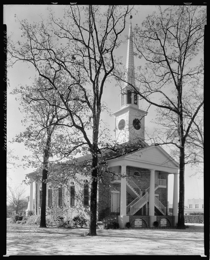
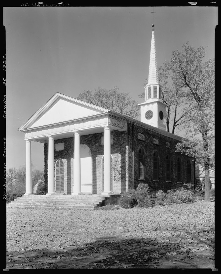
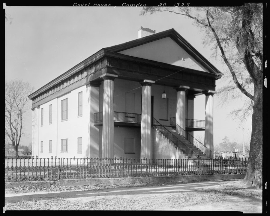
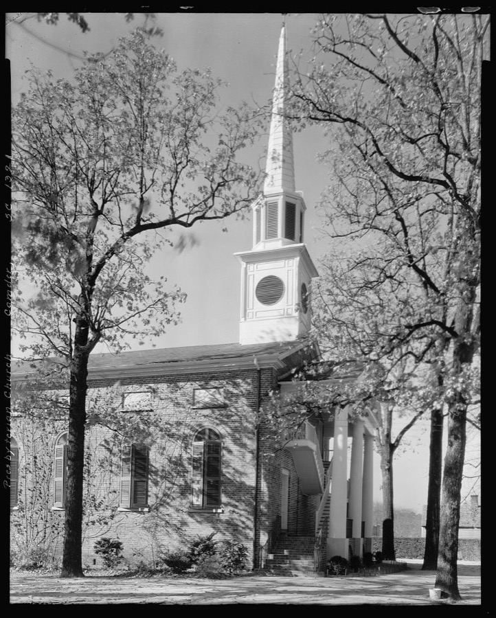
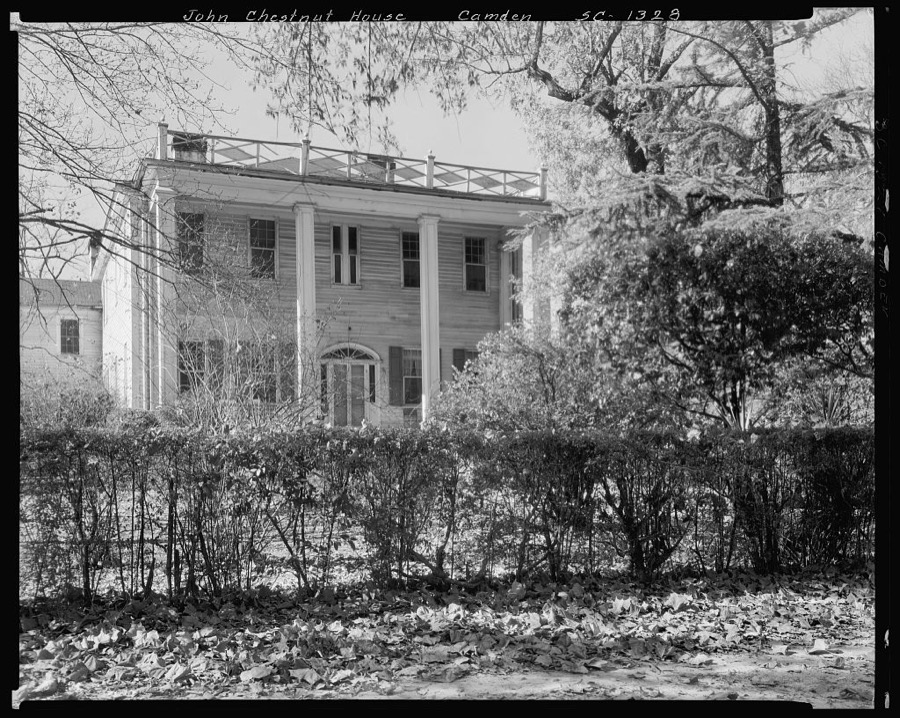
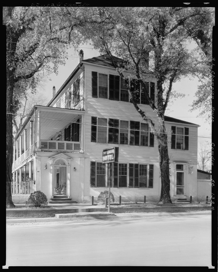
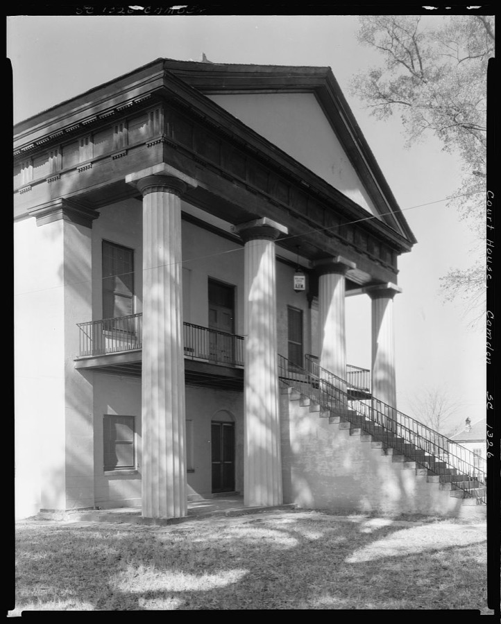
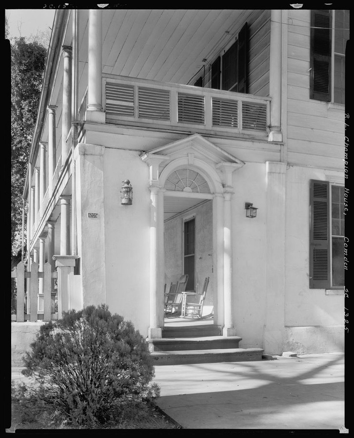
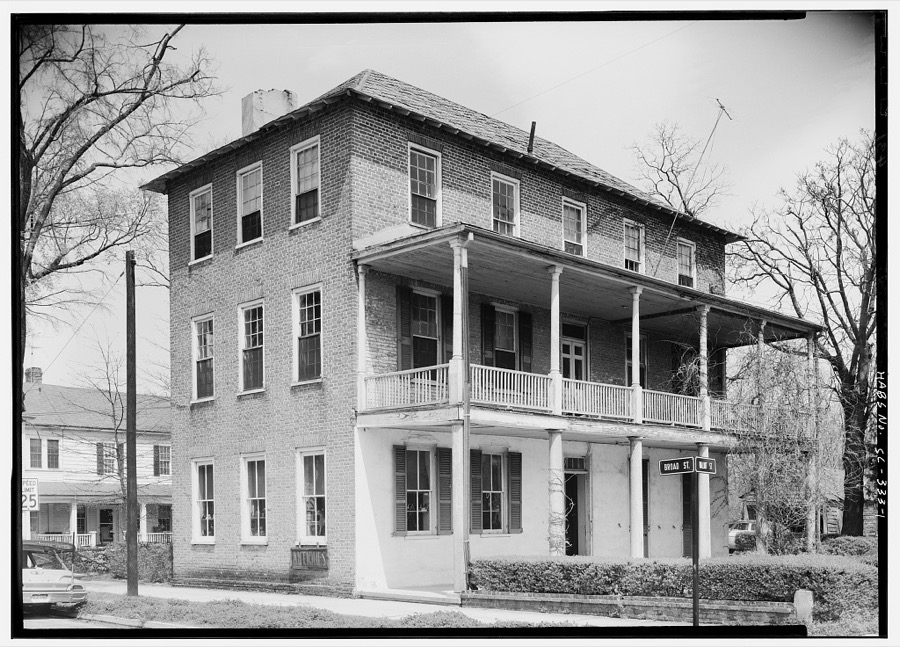
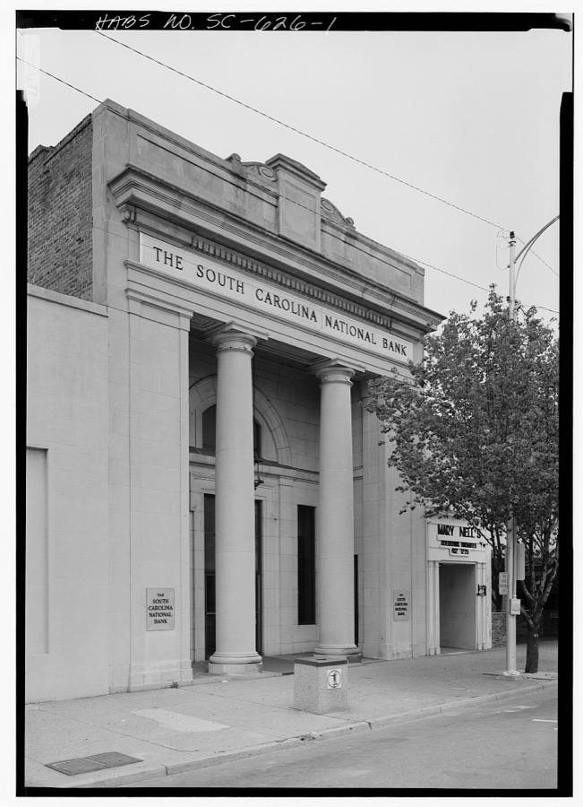
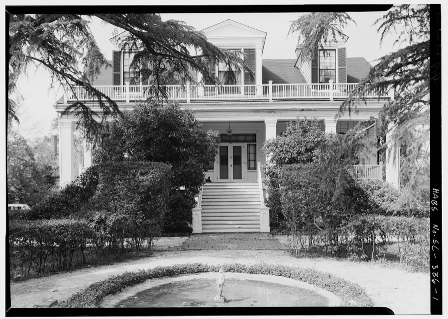
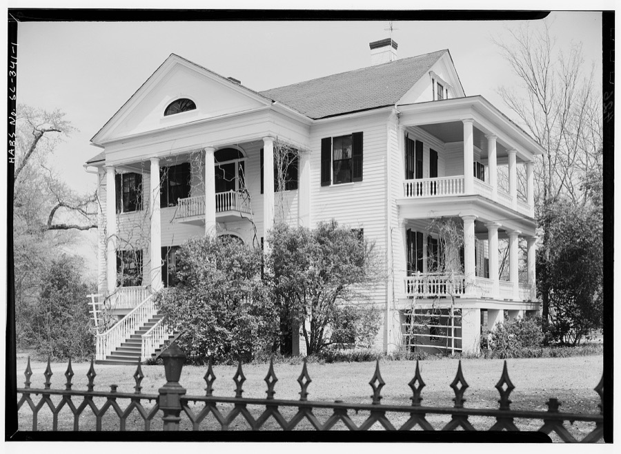
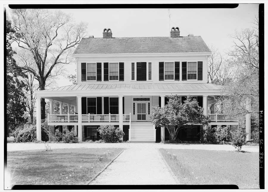
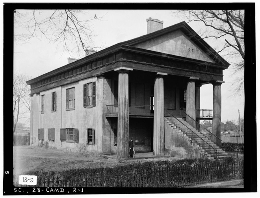
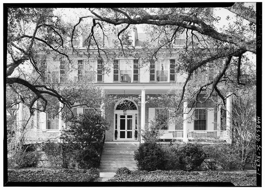
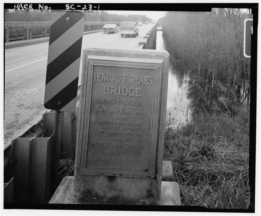
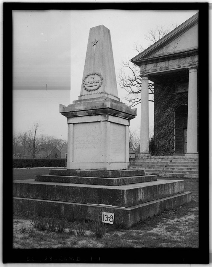
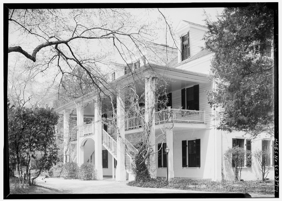
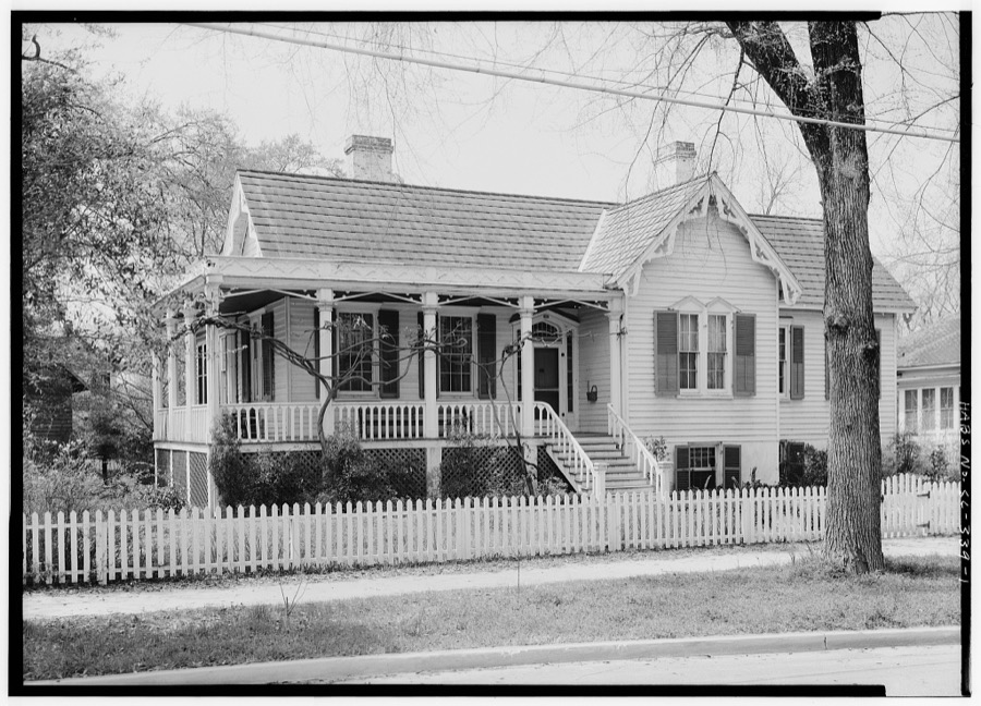
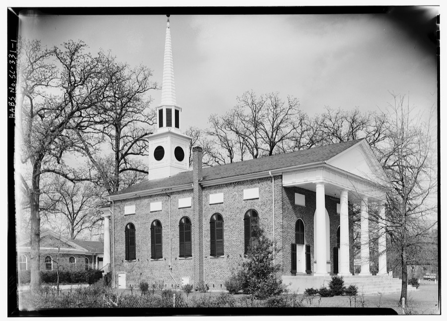
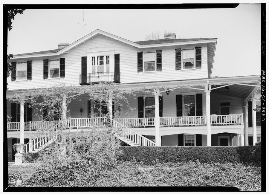
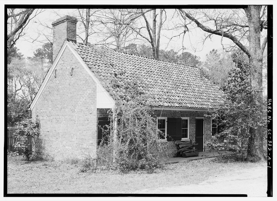
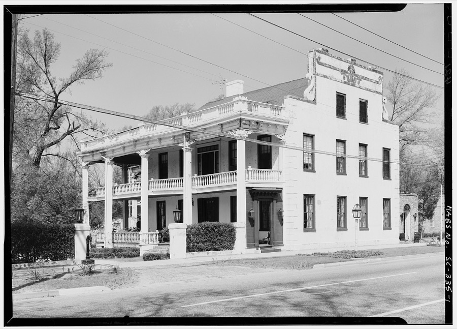
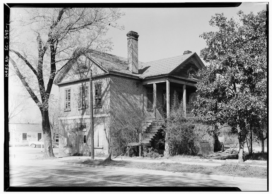
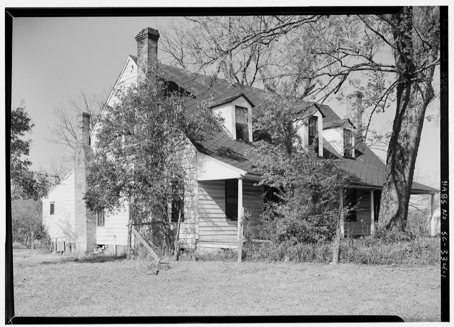
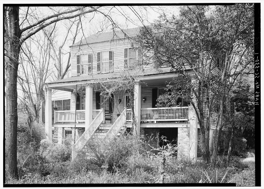
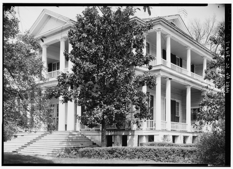
Every property in this county listed on the National Register of Historic Places, with the year it was listed and the federal nomination document.
| Photograph | Property | Type | Listed | Reference |
|---|---|---|---|---|
 | Bethesda Presbyterian Church | building | 1985 | 85003258 |
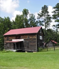 | Boykin Mill Complex | district | 1992 | 92001230 |
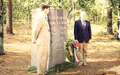 | Camden Battlefield | site | 1966 | 66000707 |
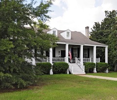 | Zachariah Cantey House | building | 1983 | 83002199 |
| Carter Hill | district | 1992 | 92001231 | |
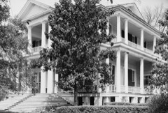 | Cool Springs | building | 1989 | 89001596 |
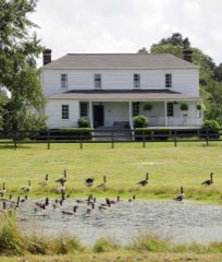 | Thomas English House | building | 1993 | 82003871 |
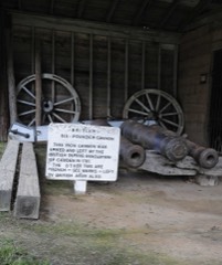 | Historic Camden Revolutionary War Restoration | district | 1969 | 69000170 |
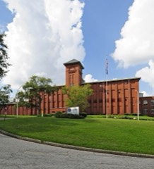 | Kendall Mill Historic District | district | 1982 | 82003870 |
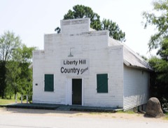 | Liberty Hill Historic District | district | 1978 | 78002519 |
| Benjamin McCoy House | building | 1980 | 80003674 | |
| Midfield Plantation | building | 1978 | 78002518 | |
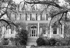 | Mulberry Plantation (Chesnut House) | building | 1980 | 80003673 |
| Plane Hill | district | 2022 | 100007390 | |
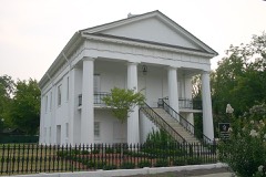 | Robert Mills Courthouse | building | 1971 | 71000787 |
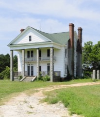 | Russell-Heath House | building | 1990 | 90000006 |
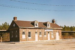 | Seaboard Air Line Railway Depot | building | 2000 | 00000590 |
Sampled issues, machine-read from the Library of Congress scan and published page by page, so every headline and column is searchable text.
Camden, S.C., 1865. Machine-read from the Library of Congress scan.
Camden, South-Carolina, 1853 to 1861. Machine-read from the Library of Congress scan.
Camden, S.C., 1864. Machine-read from the Library of Congress scan.
Camden, S.C., 1865. Machine-read from the Library of Congress scan.
Camden, S.C., 1861 to 1865. Machine-read from the Library of Congress scan.
Camden, S.C., 1836 to 1851. Machine-read from the Library of Congress scan.
Camden, S.C., 1866 to 1891. Machine-read from the Library of Congress scan.
Camden, S.C., 1865. Machine-read from the Library of Congress scan.
Camden, S.C., 1837 to 1838. Machine-read from the Library of Congress scan.
Camden, South-Carolina, 1851 to 1852. Machine-read from the Library of Congress scan.
Camden, South-Carolina, 1852. Machine-read from the Library of Congress scan.
Camden, S.C., 1865. Machine-read from the Library of Congress scan.
Camden, S.C., 1865 to 1866. Machine-read from the Library of Congress scan.
Camden, S.C., 1864. Machine-read from the Library of Congress scan.
Selected from the Digital Public Library of America's 8 image records catalogued for this county. Every one shown here carries a public-domain status or a licence that permits reuse on a site that carries advertising; non-commercial, share-alike and restricted images are excluded. The selection is spread across the county's towns (at most eight per town), so no single institution's bulk upload crowds out the rest. Each opens the holding library's record, and the complete set at the Digital Public Library of America is one click away.
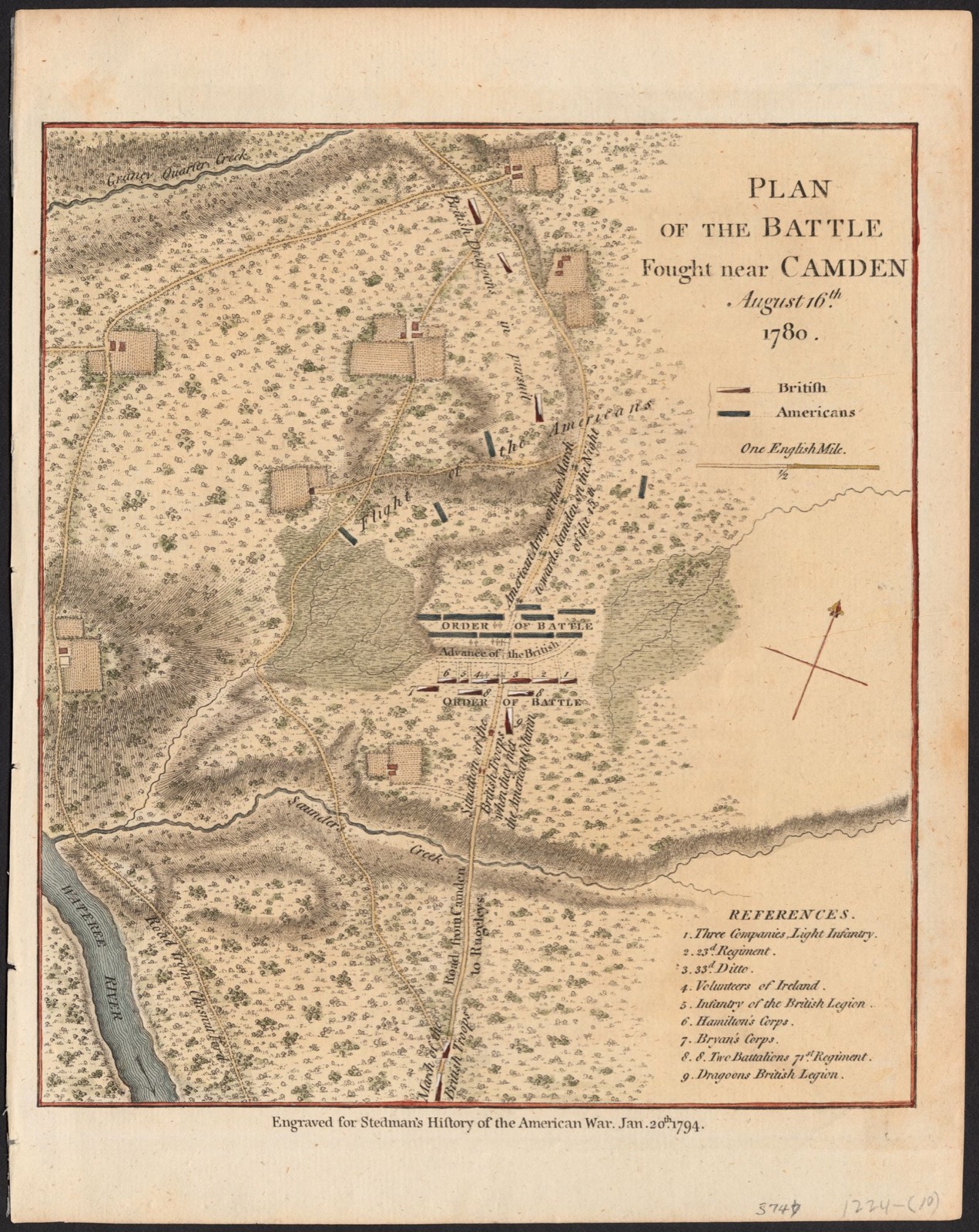
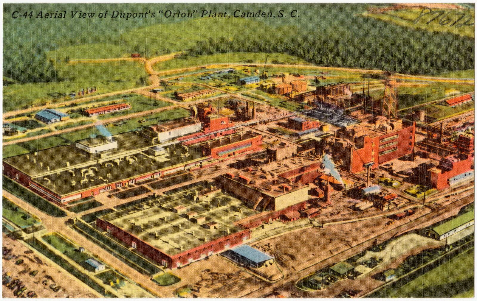
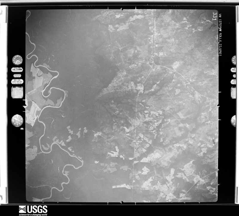
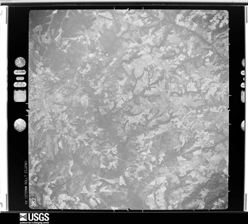
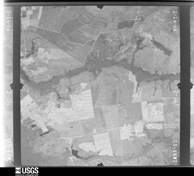
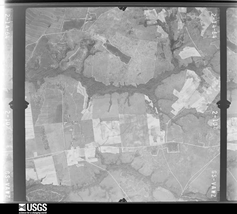
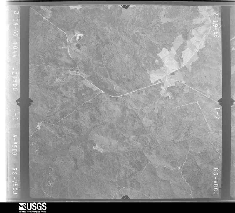
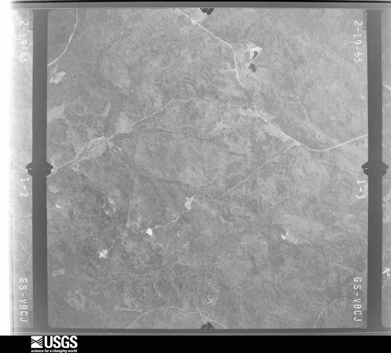
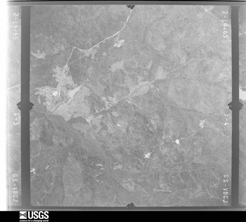
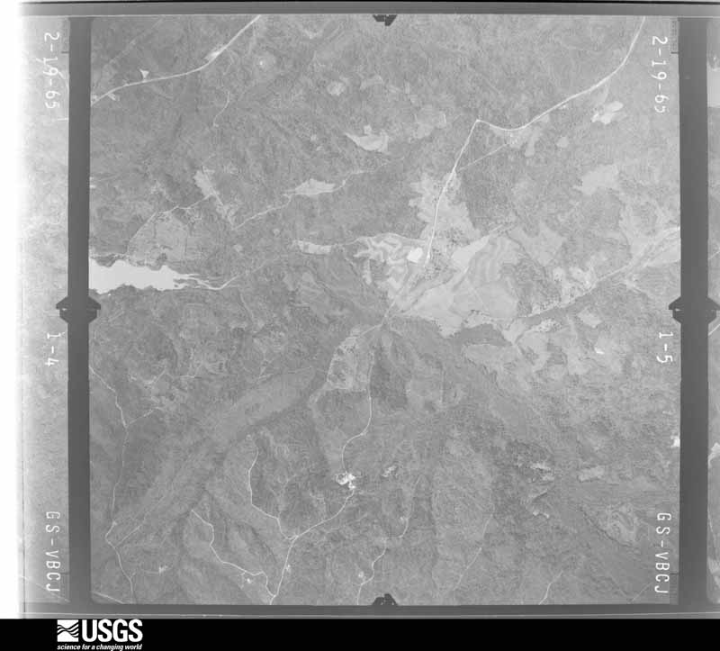
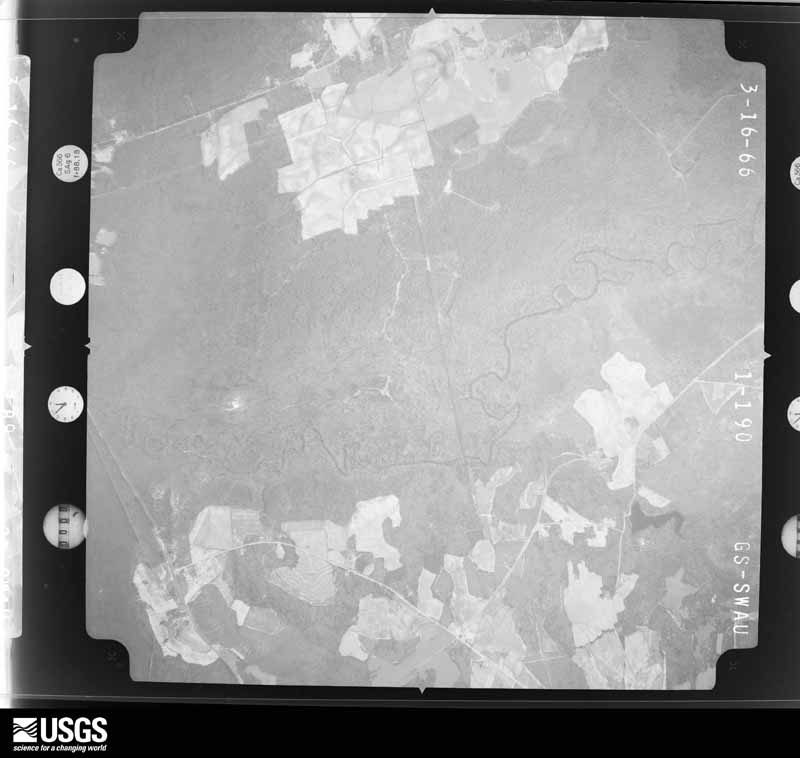
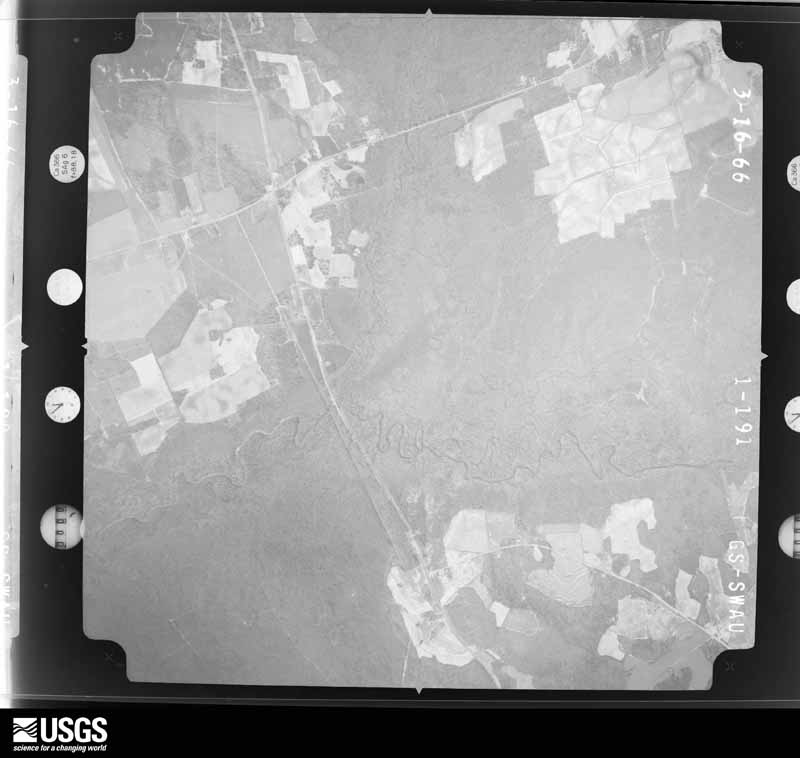
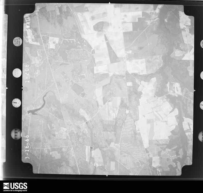
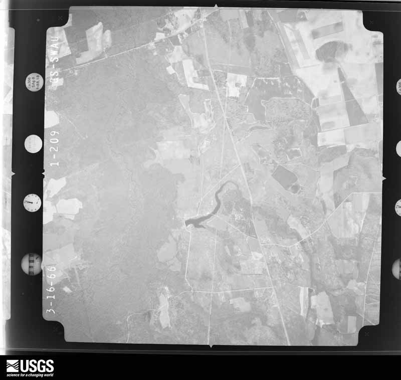
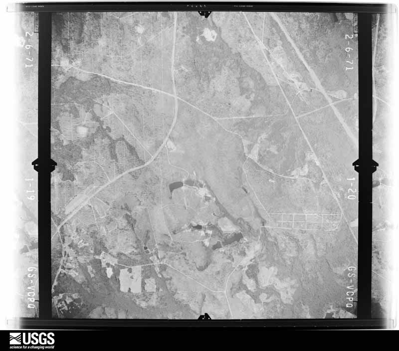
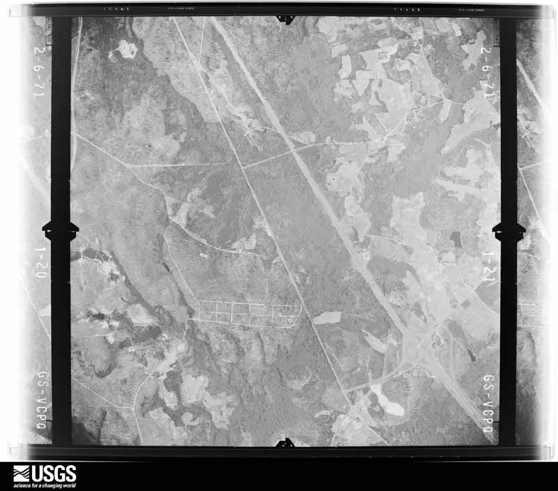
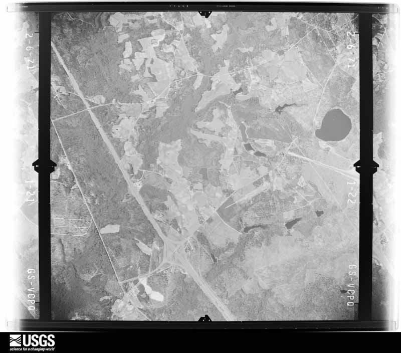
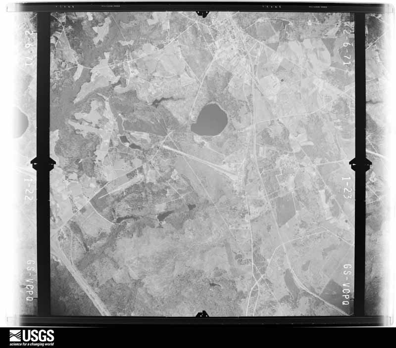
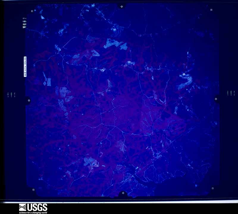
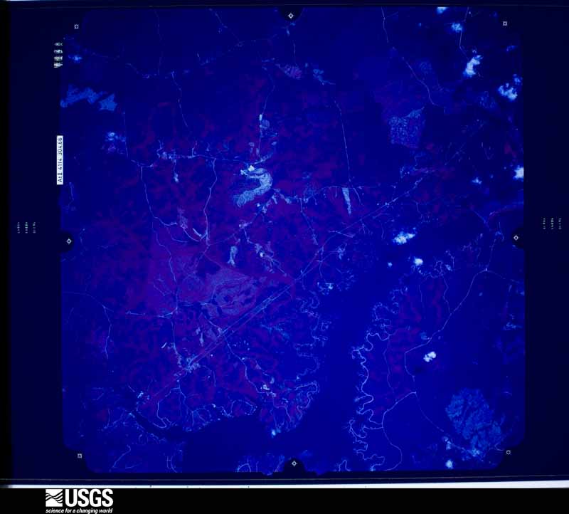
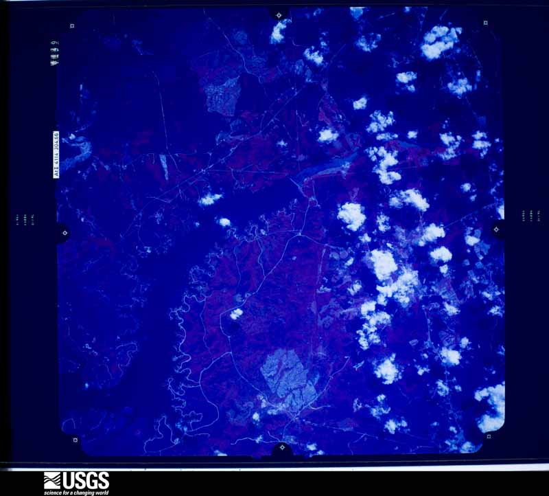
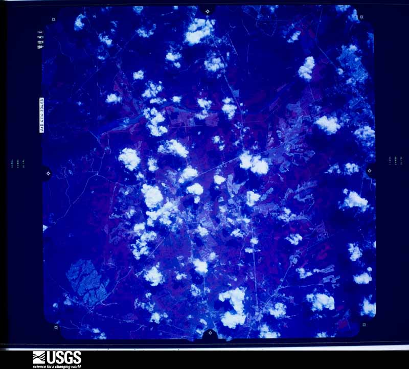
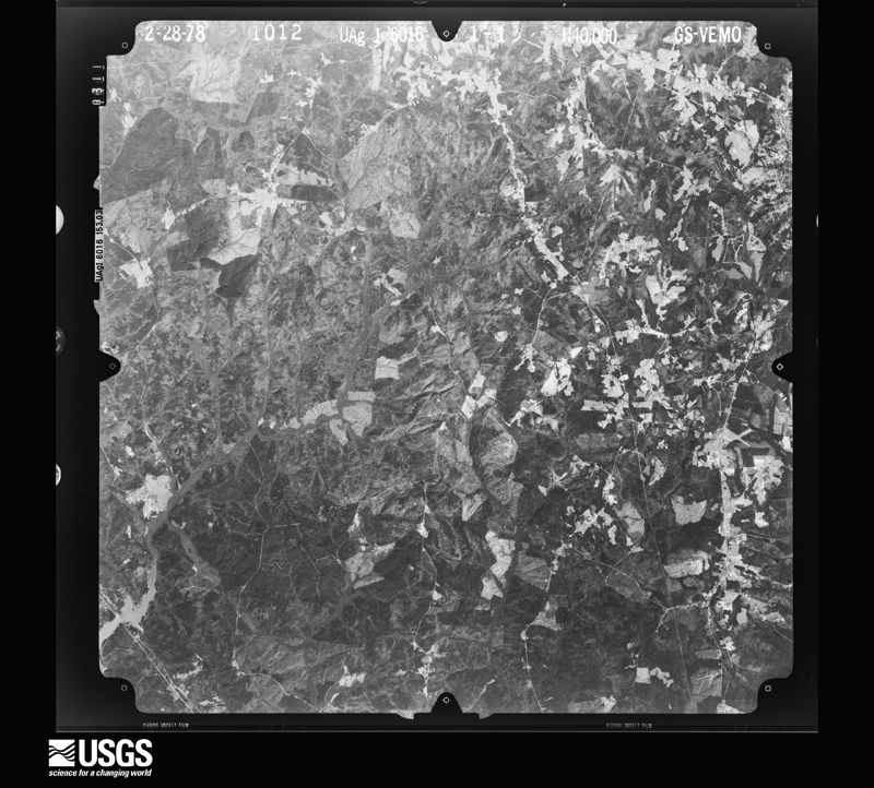
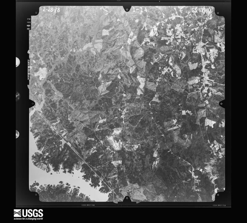
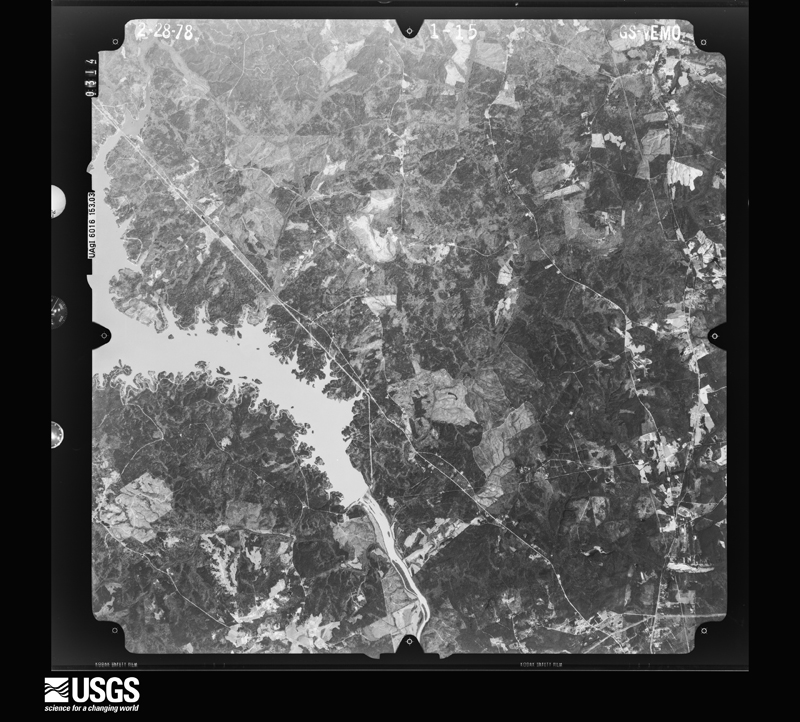
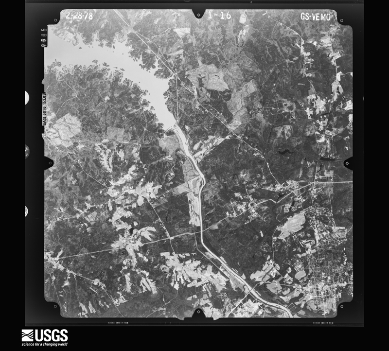
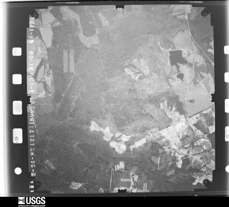
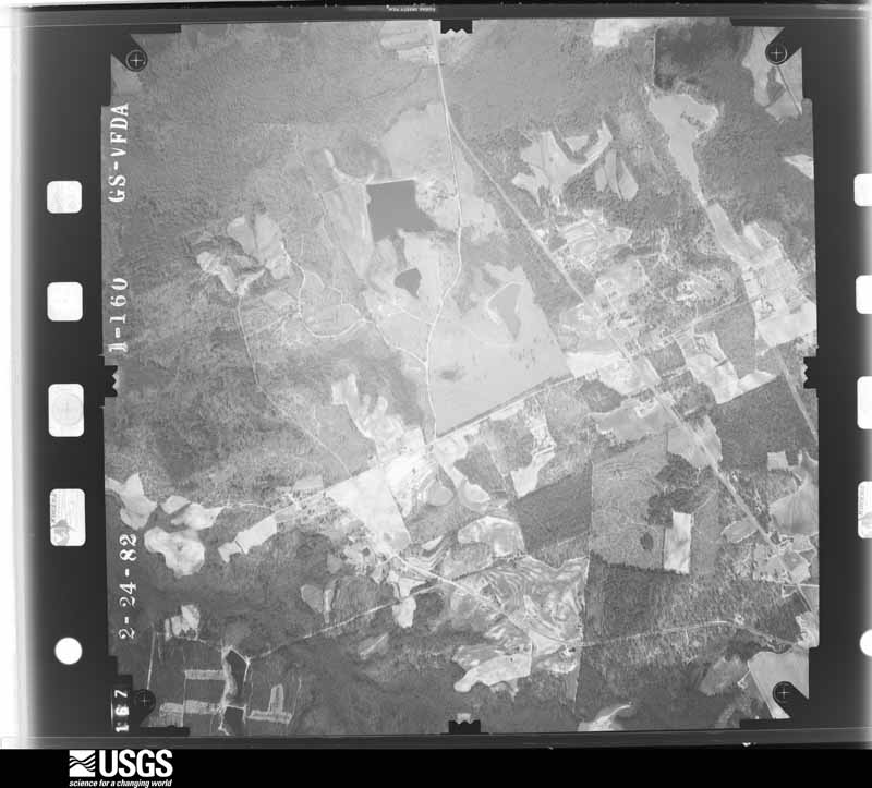
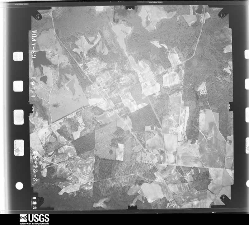
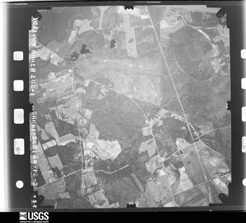
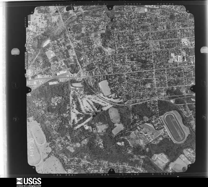
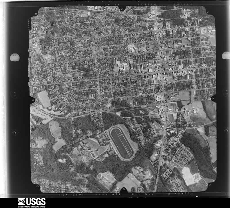
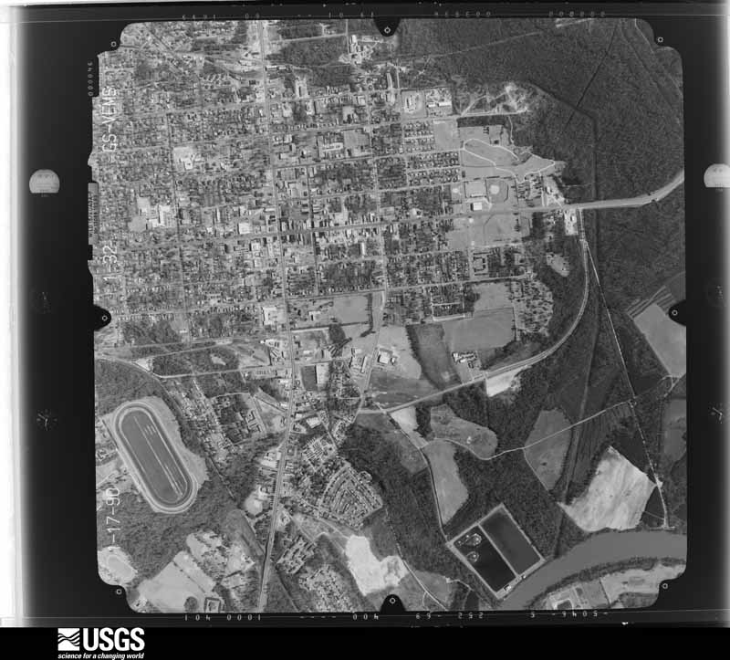
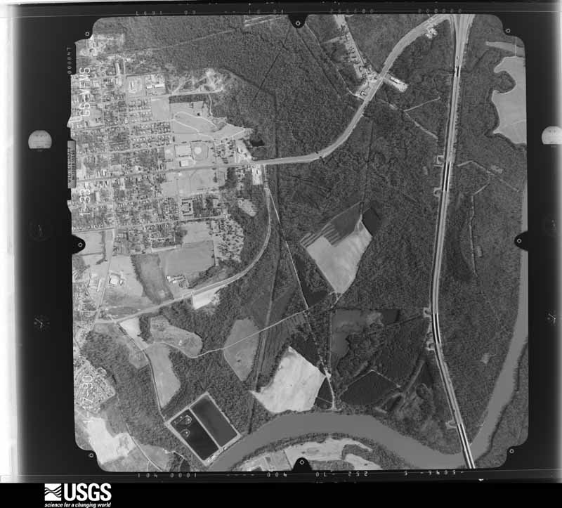
Flown by the U.S. Geological Survey between 1937 and 1989, the Aerial Photo Single Frames collection is the definitive mid-century view of the land: fields, roads and rivers as the camera saw them. The Survey holds 1,643 frames inside the rectangle that bounds this county; the 36 frames below were taken over the county itself, chosen across the decades of flights (at most four a year from that rectangle), so one flight cannot crowd out the rest. The full set is free to browse and download at EarthExplorer under the dataset Aerial Photo Single Frames.
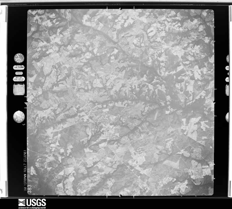
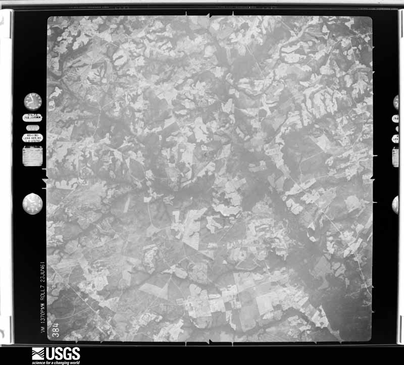
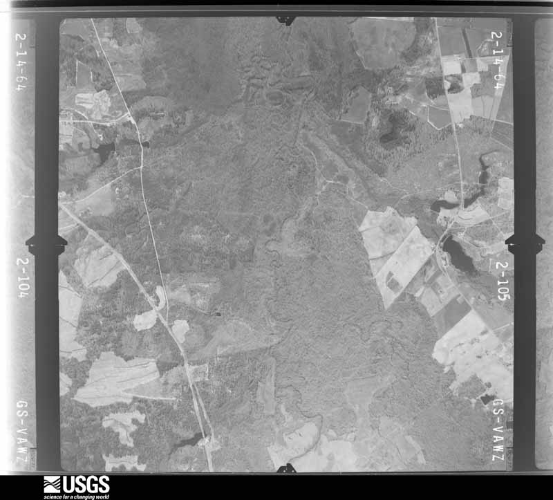
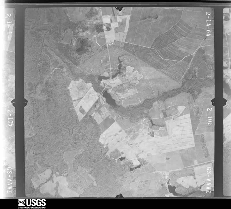
The thermometers that kept this county's weather, and the gages that measured the flow of its streams, as the federal records hold them. The extremes below are measured values from those records, not estimates.
Who lived here in 1950, one enumeration district at a time, as the Census Bureau described each district. Each row opens its official National Archives result, with Population Schedules and ED Maps available there.
Every wildfire the federal occurrence database records inside this county: 2,247 of them, burning about 10,965 acres. 92 started naturally and 142 were recorded as arson. Each settlement page carries the fires within five miles of it.
| Reported cause | Fires |
|---|---|
| Missing data/not specified/undetermined | 820 |
| Debris and open burning | 781 |
| Equipment and vehicle use | 165 |
| Arson/incendiarism | 142 |
| Misuse of fire by a minor | 102 |
| Smoking | 98 |
| Natural | 92 |
| Recreation and ceremony | 13 |
| Power generation/transmission/distribution | 12 |
| Other causes | 11 |
| Railroad operations and maintenance | 8 |
| Fireworks | 3 |
The five largest, by the area the report gives. None of them was recorded as arson.
| Date | Cause | Size | Reported by | Name on the report |
|---|---|---|---|---|
| 14 April 2006 | Debris and open burning | 382 acres | South Carolina Forestry Commission | not named |
| 21 April 1997 | Missing data/not specified/undetermined | 350 acres | South Carolina Forestry Commission | not named |
| 10 July 2001 | Natural | 200 acres | South Carolina Forestry Commission | not named |
| 10 March 1993 | Missing data/not specified/undetermined | 200 acres | South Carolina Forestry Commission | not named |
| 20 June 2011 | Debris and open burning | 135 acres | South Carolina Forestry Commission | not named |
| 22 June 2012 | Debris and open burning | 118 acres | South Carolina Forestry Commission | RED OAK CREEK |
| 4 April 2018 | Missing data/not specified/undetermined | 100 acres | South Carolina Forestry Commission | not named |
| 9 July 1998 | Natural | 100 acres | South Carolina Forestry Commission | not named |
Every settlement page carries the fires within five miles of it - see the settlement index below.
The NOAA Storm Events Database holds 501 reports for this county, causing 2 deaths, 51 injuries and about $28,692,310 in recorded property damage. Each settlement page carries the reports that name it.
| Kind of event | Reports |
|---|---|
| Thunderstorm Wind | 326 |
| Hail | 130 |
| Tornado | 24 |
| Flash Flood | 13 |
| Flood | 4 |
| Lightning | 3 |
| Heavy Rain | 1 |
The most serious of them, by death, then injury, then recorded damage. The accounts are quoted exactly as the forecast office filed them.
| When | Event | Place named | Harm | What the report says |
|---|---|---|---|---|
| October 2015 | Flash Flood | Lugoff | 1 killed, 2 hurt, $20,000 | Two people were swept off of Pine Grove Road by flood waters. The incident occurred along Twenty Five Mile Creek. The was barricaded. It is suspected they drove around the barricade. Their car stalled in flood waters and was swept down the creek. The male driver of the vehicle drowned. |
| June 1996 | Thunderstorm Wind | Bethune | 1 killed, $18,000 | no account filed |
| March 1984 | Tornado (F4) | not stated | 31 hurt, $25,000,000 | no account filed |
| May 1999 | Thunderstorm Wind | Lugoff | 12 hurt | Sheriff and damage survey found extensive damage from an intense microburst. Two metal frame buisnessess were flattened. Three brick buildings had walls blown out. Several homes and mobile homes had moderate damage. |
| March 2008 | Tornado (EF2) | Elgin | 2 hurt | An EF2 tornado went through the Elgin community doing heavy damage to many homes including partial to total roofs gone and destroying 4 mobile homes. None of the mobiles were tied down and crumbled from rolling. Numerous trees and powerlines were down and there were 2 injuries. |
| June 1998 | Thunderstorm Wind | Bethune | 2 hurt | Sheriff reported trees down...some on cars with two minor injuries. |
| July 1997 | Tornado (F2) | Camden | 1 hurt, $225,000 | An F2 tornado produced winds to 135 mph. Numerous trees were down. Two homes had major damage and three had minor damage. One mobile home was destroyed and three others had minor damage. One person was injured. |
| September 2004 | Tornado (F3) | Camden | 1 hurt | An F3 tornado demolished several mobile homes and severely damaged cinder block horse stables at a horse farm. A large horse trailer was lifted up and placed on top of the stable. Several outbuildings were destroyed and numerous trees and powerlines were down. |
| January 1995 | Thunderstorm Wind | Westville and north | $1,500,000 | no account filed |
| March 2012 | Lightning | Elgin | $400,000 | Lightning struck a home in the Haigs creek subdivision outside of Elgin completely destroying the large home. Fire Chief Gene Faulkenberry estimated damage at $400k. |
| July 2013 | Lightning | Camden | $180,000 | EM reported 9 homes were struck by lightning and damaged. |
| April 2011 | Hail | Camden | $120,000 | Sheriff dispatch reported from golfball to baseball size in Camden. Reportes of several vehicles damaged along with trees down. |
| April 2011 | Hail | Camden | $120,000 | Storm chaser reported 2 inch hail in Camden. |
| August 2004 | Thunderstorm Wind | Cassatt | $100,000 | Several mobile homes sustained moderate to severe damage in a strong microburst. Several trees and powerlines were down. |
| July 2010 | Thunderstorm Wind | Lugoff | $60,000 | Fire Dept. reported trees and powerlines down, roof damage to several structures, and some storage buildings destroyed. |
| April 2015 | Thunderstorm Wind | Boykin | $56,000 | EM reported trees were down in the Boykin Area. A parked truck was damaged by a tree and another damaged a home. |
| April 2011 | Hail | Bethune | $50,000 | Golfball size hail reported at the Mini Maart in Bethune. Windshield broken on a car. |
| September 1999 | Flash Flood | Camden | $50,000 | Sheriff reported rapid flooding in low lying areas of Camden with water depths around 2 feet in downtown and other areas. |
| April 2011 | Hail | Liberty Hill | $40,000 | Post Office reported golfball size hail in Liberty Hill. |
| April 2011 | Hail | Lugoff | $40,000 | Public reported half dollar to golfball size hail that covered the deck at his house near exit 92 on I-20. |
| April 2011 | Hail | Lugoff | $40,000 | Public reported golfball size hail between Lugoff and Camden. |
| June 2011 | Thunderstorm Wind | Camden | $36,000 | Sheriff reported trees and powerlines down across the Lugoff and Camden areas, some trees were on homes and vehicles. |
| June 2012 | Flash Flood | Kirkland | $30,000 | Sink hole developed in the Kirkland Street area from flooding caused by heavy rain. |
| June 2012 | Flash Flood | Lugoff | $30,000 | Sheriff reported cars flooded out in the Walmart parking lot on Dekalb Street. |
| April 2011 | Hail | Liberty Hill | $30,000 | Golfball size hail reported for 5 minutes at the River Deck Store on Lake Wateree. Hail damaged the canopy at the store and covered the ground. |
| July 1997 | Tornado (F1) | Bethune | $25,000 | An F1 tornado produced winds to 90 mph and damaged a home north of Bethune before crossing the county and and diminishing to an F0 which took down many trees in the Carolina Sand Hills National Wildlife Refuge just north of Mc Bee. |
| April 1969 | Tornado (F1) | not stated | $25,000 | no account filed |
| August 1965 | Tornado | not stated | $25,000 | no account filed |
| August 2011 | Thunderstorm Wind | Elgin | $24,000 | Public reported widespread structural damage. Outstorage buildings were blown apart, roof damage to a house and a front porch moved. |
| May 2003 | Thunderstorm Wind | Bethune | $24,000 | Sheriff reported a large tree down on two cars totaling them. |
| April 2011 | Thunderstorm Wind | Lugoff | $22,000 | Sheriff reported numerous trees and powerlines down in Luggoff and Camden. |
| April 2011 | Hail | Camden | $20,000 | Public reported golfball size hail near Camden. |
| June 2010 | Thunderstorm Wind | Camden | $20,000 | Camden FD reported trees and powerlines down. |
| November 2002 | Thunderstorm Wind | Bethune | $18,000 | Storm survey found a microburst tore the roof off a garage and home and collapsed the front porch of the home. At least 3 dozen trees were also taken down. |
| June 2015 | Thunderstorm Wind | Warren Xrds | $14,000 | Lynches River Electric COOP reported trees and powerlines down on Lystra Road, Kiowa Trail, and Kanawha Trail. |
| July 2010 | Flash Flood | Camden | $12,000 | EM reported 3 to 5 inches of rain in a 3 hour period causing flash flooding and closing several roads. One road washed out completely and another had a sink hole develop that filled up and closed the road. Many ponds overflowed their banks as did streams and creeks around the area. |
| December 2009 | Flash Flood | Stoneboro | $10,000 | Sheriff departments in Lancaster, Chesterfield, Kershaw, and Fairfield counties reported considerable flash flooding in portions of their counties. Many streams were overflowing roads, bridges, and flooding low lying areas. |
| April 2006 | Tornado (F0) | Lugoff | $10,000 | An F0 touched down just behind a car dealership then proceeded down Alder road and severely damage a storage barn. |
| January 2015 | Thunderstorm Wind | Camden | $8,000 | Dispatch reported trees down from Camden to Bethune. |
| July 2015 | Thunderstorm Wind | Elgin | $8,000 | Electric Company reported several trees and powerlines down with outages. |
| June 2014 | Thunderstorm Wind | Liberty Hill | $8,000 | Electric company reported trees and powerlines down along Garden Spot Lane near Hwy 97. |
| February 2011 | Thunderstorm Wind | Camden | $8,000 | Sheriff reported trees down throughout the county. |
| April 2011 | Thunderstorm Wind | Camden | $8,000 | Electric company reported powerlines down in Camden. |
| April 2011 | Thunderstorm Wind | Camden | $8,000 | DOT reported trees down in Camden. |
| April 2011 | Thunderstorm Wind | Camden | $8,000 | Sheriff reported several trees down in Camden. |
| June 2010 | Thunderstorm Wind | Lugoff | $8,000 | Sheriff reported trees down on Jordan and Kennedy roads. |
| June 2010 | Thunderstorm Wind | Lugoff | $8,000 | Sheriff reported power lines down in Lugoff. |
| July 2010 | Thunderstorm Wind | Lugoff | $8,000 | EM reported powerlines down in Lugoff. |
| August 2015 | Thunderstorm Wind | Cassatt | $6,000 | Dispatch reported trees and powerlines down. |
| July 2013 | Thunderstorm Wind | Lugoff | $6,000 | EM reported trees down in Lugoff and Highway Patrol reported trees down on SC 35 at 25 Mile Creek. |
| July 2012 | Thunderstorm Wind | Camden | $6,000 | Sheriff reported trees down in Camden. |
| July 2012 | Thunderstorm Wind | Camden | $6,000 | Sheriff reported trees down in Camden. |
| April 2011 | Thunderstorm Wind | Liberty Hill | $6,000 | Electric company reported a tree down on HWY 97 northwest of Camden taking down powerlines. |
| April 2011 | Thunderstorm Wind | Bethune | $6,000 | Black River Electric Coop reported large limbs and powerlines down in Bethune. |
| July 2010 | Thunderstorm Wind | Elgin | $6,000 | Fairfield Electric COOP reported trees down on powerlines on Sheffield Drive in Elgin. |
| May 2013 | Flood | Warren Xrds | $5,000 | Lake Wateree rose just over 2 feet above full pool causing flooding of land, docks and homes along portions of the lake shoreline. |
| October 2011 | Thunderstorm Wind | Camden | $5,000 | Black River Electric CO-OP reported trees on powerlines in the Camden area. |
| April 2010 | Thunderstorm Wind | Liberty Hill | $5,000 | Spotter reported large branches down on a couple of homes on Lake Wateree on Beaver Creek road. |
| August 2009 | Thunderstorm Wind | Bethune | $5,000 | Public reported large limbs down at Bethel Hill Church with some siding torn off. |
| March 2008 | Thunderstorm Wind | Cassatt | $5,000 | Storm survey found shingles blow off a roof of a home and the owner said the roof briefly lifted up. A few trees were also down. |
The Survey's mineral resources record lists 58 workings inside this county. 14 still produce and 44 are closed or unrecorded. Each settlement page carries the workings within five miles of it.
| Commodity | Workings |
|---|---|
| Clay | 22 |
| Sand and Gravel, Construction | 12 |
| Gold | 5 |
| Stone | 4 |
| Stone, Dimension | 4 |
| Granite | 4 |
| Iron, Zirconium, Thorium, Titanium | 2 |
| Iron, Titanium, Thorium | 1 |
| Sand and Gravel, Construction, Silica | 1 |
| Manganese | 1 |
| Stone, Crushed/Broken | 1 |
| Kaolin | 1 |
The least common of them first, because a county's hundredth gravel pit says nothing its first ten did not.
| Where | Site | Commodity | Status | Recorded |
|---|---|---|---|---|
| Blaney Sand Plant | Sand and Gravel, Construction, Silica | Producer | 1981 | |
| Camden Pit | Stone, Crushed/Broken | Producer | ||
| Furr Trucking Company, Incorporated | Kaolin | Producer | ||
| J T Young Estate | Manganese | Occurrence | 1949 | |
| Wateree River | Iron, Titanium, Thorium | Unknown | Placer , Modern , Fluvial | |
| Ancrum Ferry | Iron, Zirconium, Thorium, Titanium | Unknown | Placer , Modern , Fluvial | |
| Mccaskill Creek | Iron, Zirconium, Thorium, Titanium | Unknown | Placer , Modern , Fluvial | |
| Carolina Diamond Gray Quarry | Stone, Dimension | Unknown | Igneous | |
| Carolina Mahogany No. 2 | Stone, Dimension | Unknown | Igneous | |
| Carolina Mahogany Quarry | Granite | Past Producer | ||
| Diamond Gray Quarry | Granite | Past Producer | ||
| Kershaw Quarry | Stone | Unknown | Igneous | |
| Kershaw Quarry | Stone | Producer | ||
| Liberty Hill Quarry | Stone | Unknown | Igneous | |
| Liberty Hill Quarry | Stone | Producer | ||
| Midland Palmetto Quarry | Granite | Past Producer | ||
| Palmetto Granite Quarry | Stone, Dimension | Unknown | 1981 | |
| Sunrise Pink Quarry | Stone, Dimension | Unknown | Igneous | |
| West Mine | Granite | Past Producer | ||
| Julian Moore Mine | Gold | Past Producer | 1930 | |
| Lamar Mine | Gold | Unknown | Vein | |
| Lamar Mine | Gold | Past Producer | ||
| Sarh Emmanual Prospect | Gold | Unknown | ||
| Watson Mine | Gold | Unknown | Strataform | |
| Blaney Pit | Sand and Gravel, Construction | Producer | ||
| Cherokee Plant | Sand and Gravel, Construction | Producer | ||
| Darby Pit | Sand and Gravel, Construction | Past Producer | ||
| Darby Sand Pit | Sand and Gravel, Construction | Past Producer | Sedimentary | |
| Dickerson Pit | Sand and Gravel, Construction | Unknown | Sedimentary | |
| Faulkenberry Sand Pit | Sand and Gravel, Construction | Producer | ||
| Griffin Mine No. 3 | Sand and Gravel, Construction | Producer | Sedimentary | |
| Kershaw County Sand Company | Sand and Gravel, Construction | Unknown | 1981 | |
| Lugoff Plant | Sand and Gravel, Construction | Unknown | Sedimentary | |
| Lugoff Plant | Sand and Gravel, Construction | Producer | ||
| Screaming Eagle Rd. Sand Pit | Sand and Gravel, Construction | Producer | Sedimentary | |
| Unidentified Gravel Pit | Sand and Gravel, Construction | Past Producer | Weathering Residual | |
| Cassatt Kaolin Pit | Clay | Unknown | 1981 | |
| Dekalb Mine | Clay | Past Producer | ||
| Duncan Lakes Mine | Clay | Producer | ||
| Gadsden Mine | Clay | Past Producer | ||
| Gadson Kaolin Pit | Clay | Past Producer | Sedimentary | |
| Hines | Clay | Unknown | Sedimentary | |
| Kershaw County Mine | Clay | Unknown | Sedimentary | |
| Kershaw County Mine | Clay | Unknown | Sedimentary | |
| Kershaw County Mine | Clay | Unknown | Sedimentary | |
| Kershaw County Mine | Clay | Unknown | Sedimentary | |
| Kershaw County Mine | Clay | Past Producer | ||
| Kershaw County Mines | Clay | Producer | ||
| Kershaw No. 2 Clay Mine | Clay | Past Producer | Metamorphic | |
| Koon Clay Mine | Clay | Producer | 1981 | |
| Mac Clay Mine | Clay | Unknown | Metamorphic | |
| Mac Mine | Clay | Past Producer | ||
| Palmetto Mine | Clay | Unknown | Sedimentary | |
| Palmetto Mine | Clay | Past Producer | ||
| Shale Pit | Clay | Unknown | Metamorphic | |
| Unidentified Clay Mine | Clay | Unknown | Sedimentary | |
| Unidentified Mine | Clay | Unknown | Sedimentary | |
| Unnamed Clay Pit | Clay | Unknown | Sedimentary |
Named settlements recorded in the Geographic Names Information System, each with the topographic sheets covering it. Villages, hamlets and abandoned places alike. Each is shown with the nearest named watercourse or landform and the survey quadrangle it falls on. The 1 place that was also surveyed for fire insurance comes first, with the number of atlases and photographs held for them.
Camden census division · 29020 · On Little Pine Tree Creek · Camden South quadrangle
18 sheets, 1938 to 1986
Fire insurance: 9 atlases
Mount Pisgah census division · 29067 · On Hanging Rock Creek · Kershaw quadrangle
14 sheets, 1941 to 1986
Camden census division · 29020 · On Kirkwood Branch · Camden North quadrangle
20 sheets, 1935 to 1988
Mount Pisgah census division · 29067 · On Gates Ford Branch · Westville quadrangle
19 sheets, 1935 to 1988
Elgin census division · 29078 · On Rununder Branch · Leesburg quadrangle
18 sheets, 1938 to 1986
Elgin census division · 29078 · On Rocky Branch · Rabon Crossroads quadrangle
19 sheets, 1935 to 1988
No longer a settlement
Elgin census division · 29130 · On Horse Pen Creek · Longtown quadrangle
15 sheets, 1941 to 1986
No longer a settlement
Elgin census division · 29045 · On Reedy Branch · Elgin quadrangle
23 sheets, 1935 to 1986
Bethune census division · 29009 · On Hammond Branch · Bethune quadrangle
14 sheets, 1941 to 1986
No longer a settlement
Camden Northeast census division · 29020 · Near Eagles Nest · Rabon Crossroads quadrangle
19 sheets, 1935 to 1988
Elgin census division · 29045 · On Donnington Branch · Elgin quadrangle
23 sheets, 1935 to 1986
Camden census division · 29020 · Near Hobkirk Hill · Camden North quadrangle
20 sheets, 1935 to 1988
Boykin census division · 29020 · On Town Creek · Camden South quadrangle
18 sheets, 1938 to 1986
No longer a settlement
Camden census division · 29020 · On Little Pine Tree Creek · Camden South quadrangle
18 sheets, 1938 to 1986
Camden census division · 29020 · Near Hobkirk Hill · Camden North quadrangle
20 sheets, 1935 to 1988
Camden census division · 29020 · On Thomas Branch · Camden North quadrangle
20 sheets, 1935 to 1988
Camden census division · 29020 · Near Hobkirk Hill · Camden North quadrangle
20 sheets, 1935 to 1988
Boykin census division · 29128 · Camden South quadrangle
18 sheets, 1938 to 1986
No longer a settlement
Camden census division · 29020 · On Thomas Branch · Camden North quadrangle
20 sheets, 1935 to 1988
Camden census division · 29020 · On Thomas Branch · Camden North quadrangle
20 sheets, 1935 to 1988
Camden Northeast census division · 29020 · On Dry Branch · White Oak Creek quadrangle
19 sheets, 1935 to 1988
No longer a settlement
Elgin census division · 29078 · On Haig Creek · Lugoff quadrangle
18 sheets, 1938 to 1986
Camden census division · 29020 · On Little Pine Tree Creek · Camden South quadrangle
18 sheets, 1938 to 1986
Elgin census division · 29045 · On Reedy Branch · Elgin quadrangle
23 sheets, 1935 to 1986
Camden census division · 29020 · On Kirkwood Branch · Camden North quadrangle
20 sheets, 1935 to 1988
Elgin census division · 29078 · On Beaverdam Creek · Lugoff quadrangle
18 sheets, 1938 to 1986
Camden census division · 29020 · Near Hobkirk Hill · Camden North quadrangle
20 sheets, 1935 to 1988
Mount Pisgah census division · 29067 · On Gates Ford Branch · Westville quadrangle
19 sheets, 1935 to 1988
Camden census division · 29020 · Near Hobkirk Hill · Rabon Crossroads quadrangle
19 sheets, 1935 to 1988
Camden census division · 29020 · Near Hobkirk Hill · Camden North quadrangle
20 sheets, 1935 to 1988
Camden census division · 29020 · Near Knight Hill · Rabon Crossroads quadrangle
19 sheets, 1935 to 1988
Camden census division · 29020 · On Gum Swamp Creek · Camden North quadrangle
20 sheets, 1935 to 1988
Mount Pisgah census division · 29067 · Westville quadrangle
19 sheets, 1935 to 1988
Camden census division · 29020 · Near Jumelle Hill · Camden North quadrangle
20 sheets, 1935 to 1988
No longer a settlement
Elgin census division · 29078 · On Daley Branch · Leesburg quadrangle
18 sheets, 1938 to 1986
Elgin census division · 29078 · On Daley Branch · Leesburg quadrangle
18 sheets, 1938 to 1986
Camden census division · 29020 · On Kirkwood Branch · Camden North quadrangle
20 sheets, 1935 to 1988
No longer a settlement
Camden census division · 29020 · On Thomas Branch · Camden North quadrangle
20 sheets, 1935 to 1988
Camden census division · 29020 · On Paint Hill · Camden South quadrangle
18 sheets, 1938 to 1986
Camden census division · 29020 · Near Hobkirk Hill · Camden North quadrangle
20 sheets, 1935 to 1988
Camden census division · 29020 · On Kirkwood Branch · Camden North quadrangle
20 sheets, 1935 to 1988
Elgin census division · 29045 · On Reedy Branch · Elgin quadrangle
23 sheets, 1935 to 1986
Elgin census division · 29078 · Rabon Crossroads quadrangle
19 sheets, 1935 to 1988
Elgin census division · 29045 · On Rocky Branch · Elgin quadrangle
23 sheets, 1935 to 1986
Elgin census division · 29078 · On Wolfpin Branch · Lugoff quadrangle
18 sheets, 1938 to 1986
Camden census division · 29020 · Near Hobkirk Hill · Camden North quadrangle
20 sheets, 1935 to 1988
Camden Northeast census division · 29020 · On Gum Swamp Creek · Camden North quadrangle
20 sheets, 1935 to 1988
Camden census division · 29020 · Near Hobkirk Hill · Camden North quadrangle
20 sheets, 1935 to 1988
No longer a settlement
Elgin census division · 29078 · On Haig Creek · Leesburg quadrangle
18 sheets, 1938 to 1986
Elgin census division · 29078 · On Suttons Branch · Rabon Crossroads quadrangle
19 sheets, 1935 to 1988
Boykin census division · 29128 · Camden South quadrangle
18 sheets, 1938 to 1986
No longer a settlement
Elgin census division · 29045 · On Kelly Creek · Elgin quadrangle
23 sheets, 1935 to 1986
Camden census division · 29020 · Near Hobkirk Hill · Rabon Crossroads quadrangle
19 sheets, 1935 to 1988
Elgin census division · 29078 · On Flat Branch · Lugoff quadrangle
18 sheets, 1938 to 1986
Camden census division · 29020 · Near Paint Hill · Camden South quadrangle
18 sheets, 1938 to 1986
Bethune census division · 29009 · On Little Lynches River · Lucknow quadrangle
14 sheets, 1941 to 1986
Elgin census division · 29045 · On Reedy Branch · Elgin quadrangle
23 sheets, 1935 to 1986
Elgin census division · 29045 · On Reedy Branch · Elgin quadrangle
23 sheets, 1935 to 1986
Camden census division · 29020 · On Berkeley Branch · Camden North quadrangle
20 sheets, 1935 to 1988
Elgin census division · 29130 · On Mittenwald Creek · Longtown quadrangle
15 sheets, 1941 to 1986
Camden census division · 29020 · On Thomas Branch · Camden North quadrangle
20 sheets, 1935 to 1988
Camden census division · 29020 · Rabon Crossroads quadrangle
19 sheets, 1935 to 1988
The vanished settlements of Kershaw County: the places named above that are no longer on the map.
18 topographic sheets and 9 fire insurance atlases, 1884 to 1949
The complete index, with nothing left out. Each of these is a separate record with its own page: a federal survey report, or the case file that argued a property on to the National Register. Both are public domain and reproduced word for word.
The vanished settlements of Kershaw County, the places these records name that are no longer on the map.