 Block
Camden, South Carolina
18 topographic sheets cover this place, the earliest surveyed in 1938 and the latest in 1986. It stands in the Camden census division. It lies in ZIP code area 29020. It stands on Little Pine Tree Creek. The Survey maps it on the Camden South quadrangle. 7,788 people lived here at the 2020 count. It stands 187 feet above sea level.
Research this city
On record in Camden
Buildings and businesses the archive holds for this place. Each opens its own page, with the source record it came from.
On the National Register 12 records
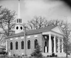 Bethesda Presbyterian ChurchNational Historic Landmark · listed 1985
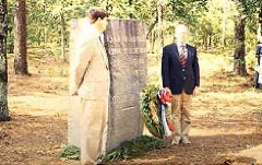 Camden BattlefieldNational Historic Landmark · listed 1966
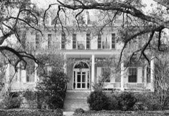 Mulberry Plantation (Chesnut House)National Historic Landmark · listed 1980
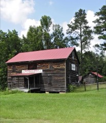 Boykin Mill Complexlisted 1992
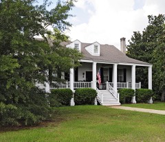 Zachariah Cantey Houselisted 1983
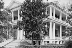 Cool Springslisted 1989
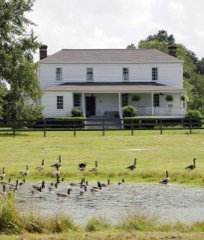 Thomas English Houselisted 1993
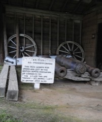 Historic Camden Revolutionary War Restorationlisted 1969
 Kendall Mill Historic Districtlisted 1982
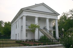 Robert Mills Courthouselisted 1971
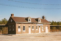 Seaboard Air Line Railway Depotlisted 2000
- Carter Hilllisted 1992
Surveyed buildings and structures 12 of 19 shown
- Baron Dekalb Monument, North Dekalb & Market Streets, Camdenfederal building survey, 5 photographs
- Bethesda Presbyterian Church, Dekalb & Market Streets, Camdenfederal building survey, 5 photographs
- Bishop Davis House, Broad & Walnut Streets, Camdenfederal building survey, 2 photographs
- Bloomsbury, 1707 Lyttleton Street, Camdenfederal building survey, 3 photographs
- Bloomsbury, Outbuilding, 1707 Lyttleton Street, Camdenfederal building survey, 1 photograph
- Charles John Shannon House, 1502 Broad Street, Camdenfederal building survey, 2 photographs
- Coolspring, U.S. Routes 521 & 601, Camdenfederal building survey, 3 photographs
- Elizabeth G. Alexander House, 612 Laurens Street, Camdenfederal building survey, 1 photograph
- Fanny Price House & Store, Broad & York Streets, Camdenfederal building survey, 2 photographs
- First National Bank of Camden, Broad Street, Camdenfederal building survey, 1 photograph
- Greenleaf Villa, 1307 Broad Street, Camdenfederal building survey, 2 photographs
- Holly Hedge, 302 Greene Street, Camdenfederal building survey, 2 photographs
Population over time
5 figuresCamden grew from 7,462 to 7,788 between 1980 and 2020. These are the recorded population figures Wikidata holds for this place, reached through the Geographic Names Information System number this page is keyed on rather than by name, so they belong to this place and not to another of the same name. Most are census counts, but not all are: an early figure may be a founding or settlement estimate, and an estimate published within five years of a census is left out. The change column is computed, and is left blank where more than 20 years separate a figure from the one before it, because a gap that long is not a change between two counts.
| Year | People | Change |
|---|---|---|
| 1980 | 7,462 | |
| 1990 | 6,696 | -766 (-10%) |
| 2000 | 6,682 | -14 (-0%) |
| 2010 | 6,838 | +156 (+2%) |
| 2020 | 7,788 | +950 (+14%) |
Topographic sheets covering this place
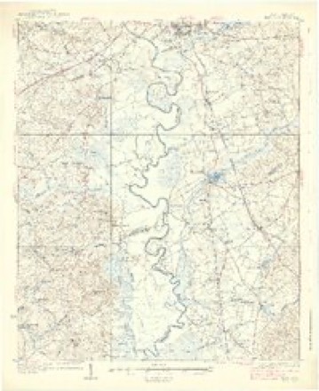
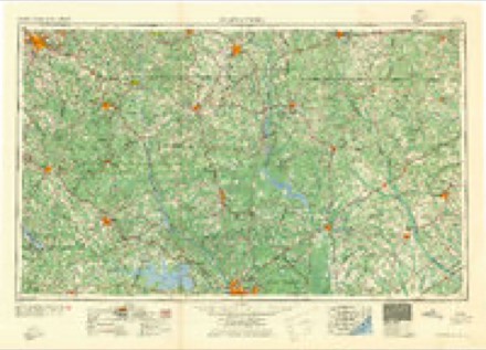
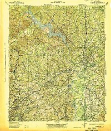
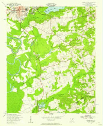
10 surveys from 18 printed sheetsMatched by testing this settlement's coordinate against the published boundary of every sheet in the United States Geological Survey's historical collection. Each opens the scanned sheet at the Survey.
- 1938 USGS Hagood quadrangle1:62500, 3 printings
- 1941 USGS Spartanburg quadrangle1:250000
- 1942 USGS Camden quadrangle1:125000
- 1953 USGS Camden South quadrangle1:24000
- 1953 USGS Spartanburg quadrangle1:250000, 4 printings
- 1960 USGS Spartanburg quadrangle1:250000, 2 printings
- 1963 USGS Spartanburg quadrangle1:250000
- 1964 USGS Spartanburg quadrangle1:250000
- 1986 USGS Camden quadrangle1:100000, 2 printings
- 1986 USGS Camden South quadrangle1:100000, 2 printings
Photographs
8 of 27 photographs shown, 1936Taken for the Office of War Information and the Farm Security Administration, who photographed the country between 1935 and 1944. Works of United States government photographers, with no known restriction on use. Each opens its catalogue record.
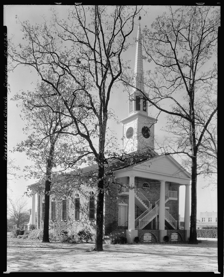
Johnston, Frances Benjamin, 1936. Library of Congress
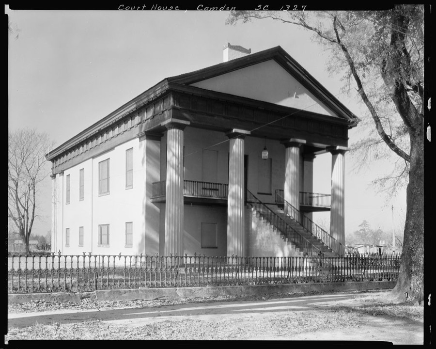
Johnston, Frances Benjamin, 1936. Library of Congress
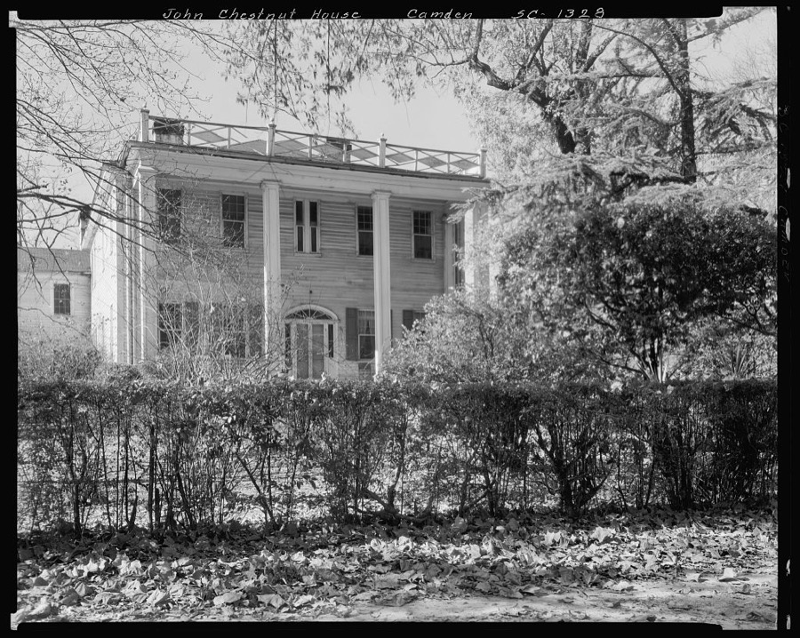
Johnston, Frances Benjamin, 1936. Library of Congress
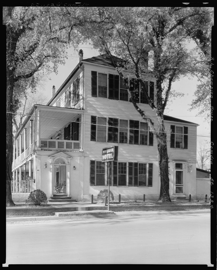
Johnston, Frances Benjamin, 1936. Library of Congress
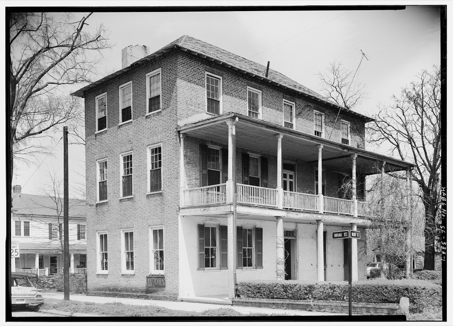
Photographer not recorded. Library of Congress
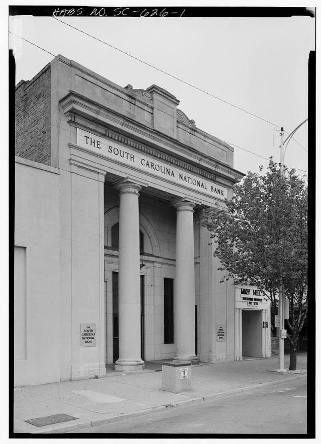
Photographer not recorded. Library of Congress
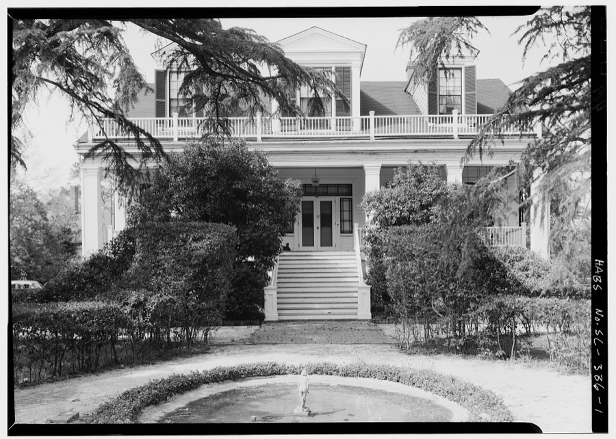
Photographer not recorded. Library of Congress
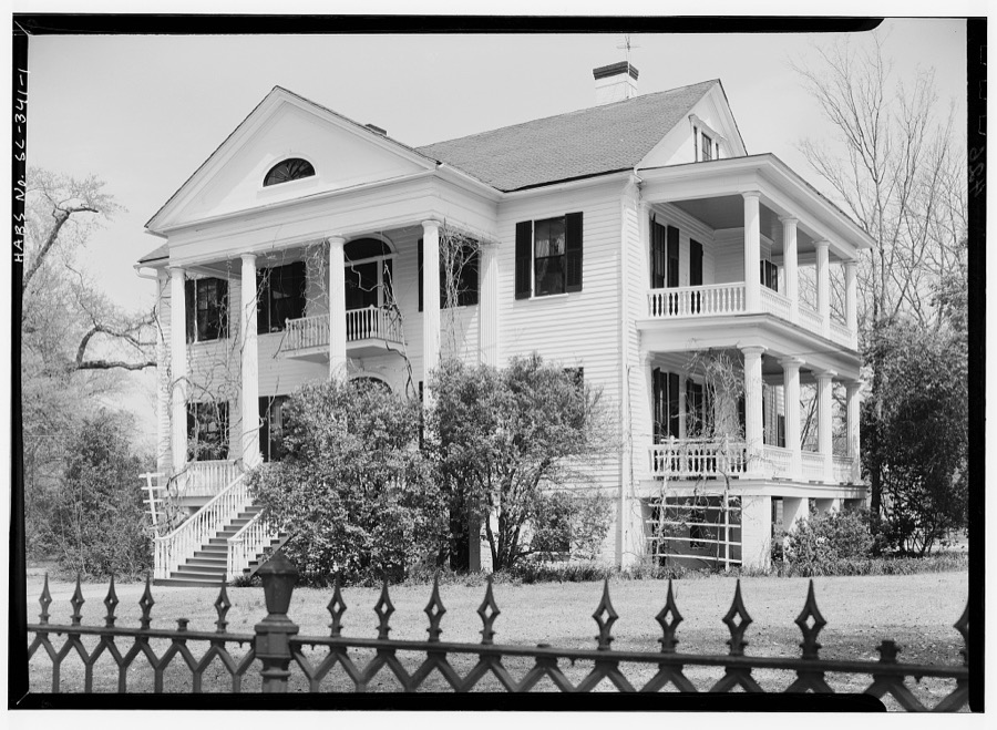
Photographer not recorded. Library of Congress
Every photograph of Kershaw County
Fires near this place
239 since 1992Regional context, not property-specific evidence. The federal wildfire occurrence database lists 239 fires within 5 miles of Camden between 1992 and 2020, burning about 816 acres in total. 11 started naturally. 8 were recorded as arson. Distance is straight-line from the map coordinates, so a fire counted here may appear on a neighbouring settlement's page as well.
| Reported cause | Fires |
|---|---|
| Missing data/not specified/undetermined | 78 |
| Debris and open burning | 77 |
| Misuse of fire by a minor | 24 |
| Equipment and vehicle use | 19 |
| Smoking | 19 |
| Natural | 11 |
| Arson/incendiarism | 8 |
| Other causes | 1 |
| Recreation and ceremony | 1 |
| Railroad operations and maintenance | 1 |
The most recent of them, most recent first, with the day each was reported and the service that recorded it.
| Date | Cause | Size | Reported by | Name on the report |
|---|---|---|---|---|
| 4 September 2011 | Misuse of fire by a minor | 6.0 acres | South Carolina Forestry Commission | not named |
| 4 September 1997 | Equipment and vehicle use | under an acre | South Carolina Forestry Commission | not named |
| 30 September 2007 | Smoking | 2.0 acres | South Carolina Forestry Commission | not named |
| 3 September 1995 | Missing data/not specified/undetermined | under an acre | South Carolina Forestry Commission | not named |
| 26 September 2019 | Debris and open burning | under an acre | South Carolina Forestry Commission | not named |
| 26 September 1998 | Debris and open burning | 1.0 acres | South Carolina Forestry Commission | not named |
| 24 September 2010 | Debris and open burning | under an acre | South Carolina Forestry Commission | not named |
| 23 September 2013 | Debris and open burning | under an acre | South Carolina Forestry Commission | not named |
Settlements close enough to share some of these fires:
Mines and quarries near this place
2 within 5 milesRegional context, not property-specific evidence. The federal mineral resources record lists 2 workings within 5 miles of Camden: 1 unknown, 1 producer. 1 still produces. What was taken out: Iron, Titanium, Thorium, Sand and Gravel, Construction. Distance is straight-line from the map coordinates, so a quarry counted here may appear on a neighbouring settlement's page as well.
| Where | Site | Commodity | Status | Recorded |
|---|---|---|---|---|
| Hasskamp Mine | Sand and Gravel, Construction | Producer | Sedimentary | |
| Wateree River | Iron, Titanium, Thorium | Unknown | Placer , Modern , Fluvial |
Storms near this place
60 of 101 shownRegional context, not property-specific evidence. The National Weather Service names Camden in 101 storm reports between 1995 and 2026: 67 thunderstorm wind, 24 hail, 5 tornado, 3 flash flood. The reports record 2 injuries. Each account below is quoted exactly as the forecast office filed it, from the NOAA Storm Events Database, and each date opens the federal record of that event.
| When | Event | Place named | Harm | What the report says |
|---|---|---|---|---|
| July 1997 | Tornado (F2) | Camden | 1 hurt, $225,000 | An F2 tornado produced winds to 135 mph. Numerous trees were down. Two homes had major damage and three had minor damage. One mobile home was destroyed and three others had minor damage. One person was injured. |
| September 2004 | Tornado (F3) | Camden | 1 hurt | An F3 tornado demolished several mobile homes and severely damaged cinder block horse stables at a horse farm. A large horse trailer was lifted up and placed on top of the stable. Several outbuildings were destroyed and numerous trees and powerlines were down. |
| July 2013 | Lightning | Camden | $180,000 | EM reported 9 homes were struck by lightning and damaged. |
| April 2011 | Hail | Camden | $120,000 | Sheriff dispatch reported from golfball to baseball size in Camden. Reportes of several vehicles damaged along with trees down. |
| April 2011 | Hail | Camden | $120,000 | Storm chaser reported 2 inch hail in Camden. |
| September 1999 | Flash Flood | Camden | $50,000 | Sheriff reported rapid flooding in low lying areas of Camden with water depths around 2 feet in downtown and other areas. |
| June 2011 | Thunderstorm Wind | Camden | $36,000 | Sheriff reported trees and powerlines down across the Lugoff and Camden areas, some trees were on homes and vehicles. |
| April 2011 | Hail | Camden | $20,000 | Public reported golfball size hail near Camden. |
| June 2010 | Thunderstorm Wind | Camden | $20,000 | Camden FD reported trees and powerlines down. |
| July 2010 | Flash Flood | Camden | $12,000 | EM reported 3 to 5 inches of rain in a 3 hour period causing flash flooding and closing several roads. One road washed out completely and another had a sink hole develop that filled up and closed the road. Many ponds overflowed their banks as did streams and creeks around the area. |
| January 2015 | Thunderstorm Wind | Camden | $8,000 | Dispatch reported trees down from Camden to Bethune. |
| February 2011 | Thunderstorm Wind | Camden | $8,000 | Sheriff reported trees down throughout the county. |
| April 2011 | Thunderstorm Wind | Camden | $8,000 | Electric company reported powerlines down in Camden. |
| April 2011 | Thunderstorm Wind | Camden | $8,000 | DOT reported trees down in Camden. |
| April 2011 | Thunderstorm Wind | Camden | $8,000 | Sheriff reported several trees down in Camden. |
| July 2012 | Thunderstorm Wind | Camden | $6,000 | Sheriff reported trees down in Camden. |
| July 2012 | Thunderstorm Wind | Camden | $6,000 | Sheriff reported trees down in Camden. |
| October 2011 | Thunderstorm Wind | Camden | $5,000 | Black River Electric CO-OP reported trees on powerlines in the Camden area. |
| January 1998 | Thunderstorm Wind | Camden | $5,000 | Police reported severe thunderstorm winds took down numerous trees and powerlines. |
| August 2015 | Thunderstorm Wind | Camden | $4,000 | Dispatch reported trees and powerlines down with outages. |
| June 2013 | Flood | Camden | $4,000 | Highway Patrol reported a driver called in and said 2 feet of water covered Mt. Olivet road in a low lying area near I-20. |
| January 2013 | Thunderstorm Wind | Camden | $4,000 | Sheriff reported a few trees down in the Camden area. |
| December 2010 | Thunderstorm Wind | Camden | $4,000 | Sheriff reported a few trees down on Porter Road and at the race track. |
| July 2009 | Thunderstorm Wind | Camden | $4,000 | Police department reported trees down on Broad Street and Hwy 97. |
| March 2012 | Thunderstorm Wind | Camden | $3,000 | Dispatch reported a couple of trees and powerlines down on Mill Street and alson Hwy 97 near the land fill. |
| June 1995 | Thunderstorm Wind | Camden | $1,000 | Thunderstorm winds blew down trees, powerlines, and caused other minor damage in Elgin and in Camden. |
| February 2024 | Hail | Camden | $100 | Public report of pea size hail in Camden. |
| June 2023 | Thunderstorm Wind | Camden | $100 | Broadcast media relayed a report and photo, via social media, of a medium size tree that fell onto the westbound lanes of US Hwy 1/601 (W. Dekalb St.) between Bay Ln and the bridge over Camp Creek. Time estimated. |
| March 2026 | Thunderstorm Wind | Camden | - | Kershaw County dispatch reported numerous trees down throughout the county. |
| May 2025 | Thunderstorm Wind | Camden | - | Kershaw county dispatch reported trees down on Tickle Hill Rd at SC 34. Time estimated by radar. |
| May 2024 | Thunderstorm Wind | Camden | - | Kershaw County dispatch reports numerous trees and power lines down throughout the county. Time estimated by radar. |
| June 2023 | Thunderstorm Wind | Camden | - | Downed trees blocked Hasty Rd. Time estimated based on radar. |
| August 2023 | Thunderstorm Wind | Camden | - | Kershaw County Sheriff Dispatch reported numerous trees and power lines down throughout the county. Damage reported near Blythewood to Arcadia Lakes, and eastward towards Camden. |
| May 2022 | Thunderstorm Wind | Camden | - | Kershaw Hwy maintenance reported a large tree blocked the road on Pitts Street at Lloyd Street. Time estimated by radar. |
| July 2022 | Thunderstorm Wind | Camden | - | Highway Patrol reported a tree down on I20 at exit 98 westbound. |
| June 2022 | Thunderstorm Wind | Camden | - | Trees were downed along Lakeshore Dr in Camden. Time estimated. |
| June 2022 | Thunderstorm Wind | Camden | - | SCHP report trees blocking roadway on Broad St in Camden. Time estimated. |
| June 2020 | Thunderstorm Wind | Camden | - | Tree on a power line along Gardner St near US Hwy 1. |
| March 2018 | Thunderstorm Wind | Camden | - | Kershaw Co dispatch reported power lines down on Mill St at Hampton St. Time estimated based on radar. |
| June 2018 | Thunderstorm Wind | Camden | - | Numerous trees down, and power outages, in and around Camden. Time estimated. |
| February 2017 | Thunderstorm Wind | Camden | - | Kershaw Co Highway Dept reported trees down on US Hwy 601/US Hwy 521 in Camden. |
| May 2016 | Hail | Camden | - | Reported nickel size hail near Camden. |
| July 2016 | Thunderstorm Wind | Camden | - | Trees down and dime size hail. |
| July 2016 | Thunderstorm Wind | Camden | - | Trees down at Camden Archives building. |
| July 2016 | Thunderstorm Wind | Camden | - | Trees and power lines down in and around the city of Camden. Power out throughout the city. |
| August 2011 | Thunderstorm Wind | Camden | - | Sheriff Dispatch reported a couple large limbs down and some trees down in Camden. |
| July 2009 | Hail | Camden | - | Public reported golf ball size hail on US 1 one mile east of Camden. |
| April 2009 | Hail | Camden | - | Sheriff reported nickel size hail near hwy 1. |
| June 2009 | Thunderstorm Wind | Camden | - | SKYWARN spotter reported large branches down in Camden. |
| June 2009 | Hail | Camden | - | Public reported nickel size hail in Camden. |
| August 2009 | Hail | Camden | - | Penny size hail reported along Lucknow Road near Stokes Road. Tree limbs also reported down along the highway. |
| June 2008 | Hail | Camden | - | Sheriff Dispatch reported golf ball size hail along I-20 between the Camden and Lugoff exits. |
| May 2008 | Hail | Camden | - | Sheriff reported quarter size hail in Camden and also the Corner Pantry southeast of the city. |
| June 2007 | Hail | Camden | - | EM reported 3/4 inch hail near Westville around hwys 521 and 601. |
| July 2007 | Thunderstorm Wind | Camden | - | Trees and powerlines were down. |
| July 2007 | Thunderstorm Wind | Camden | - | Trees were down in Camden. |
| August 2007 | Hail | Camden | - | County official reported penny size hail in Camden and Antioch. Time estimated. |
| August 2007 | Thunderstorm Wind | Camden | - | EM reoprted several large trees down near Antioch. |
| April 2006 | Hail | Camden | - | Shepard Communications reported nickel size hail. |
| April 2006 | Hail | Camden | - | Sheriff reported nickel size hail in Camden and Northeast along hwy 1. |
Newspapers printed here
6,600 digitised pages14 papers published in this town, digitised by the Library of Congress and free to read: 1,771 issues, 6,600 pages. Every page is searchable, so a name or a street can be looked for directly in what the town printed about itself at the time.
| Newspaper | Published |
|---|---|
| The Camden Weekly Journal | 1853 to 1861 |
| The Camden Daily Journal | 1864 |
| The Tri-Weekly Journal | 1865 |
| The Camden Journal | 1836 to 1851 |
| The Camden Journal | 1866 to 1891 |
| Semi-Weekly Camden Journal | 1851 to 1852 |
| Camden Journal | 1852 |
| The Weekly Journal | 1865 |
| The Camden Weekly Journal | 1865 to 1866 |
| The Camden Journal | 1864 |
| Journal and Confederate | 1865 |
| The Tri-Weekly Journal | 1865 |
| The Camden Confederate | 1861 to 1865 |
| Camden Commercial Courier | 1837 to 1838 |
What the paper printed
82,879 wordsFront pages of the local paper, read from the Library of Congress scans: 64 issues spread across its run from 1836 to 1891, 82,879 words in total. Each is reproduced on its own page, exactly as the recogniser returned it.
These pages read less well than anything else here, and the number is worth stating: about three words in four come through cleanly, against nine in ten for the building records. An 1896 broadsheet sets eight-point type in seven columns on microfilm, which is the hardest thing in this archive to read by machine. We tested our own recognisers against the Library's and they were not better, so the Library's text is what appears, with the wholly unreadable columns removed. Read it as a guide to what the paper covered, and follow the link to the scan before quoting anything.
| Issue | Paper | Length |
|---|---|---|
| 1865-05-31 | The Tri-Weekly Journal | 822 words |
| 1865-06-07 | The Tri-Weekly Journal | 1,025 words |
| 1865-06-14 | The Tri-Weekly Journal | 1,238 words |
| 1865-06-21 | The Tri-Weekly Journal | 1,057 words |
| 1865-06-30 | The Tri-Weekly Journal | 351 words |
| 1853-01-04 | The Camden Weekly Journal | 703 words |
| 1853-03-15 | The Camden Weekly Journal | 2,450 words |
| 1853-05-24 | The Camden Weekly Journal | 2,558 words |
| 1853-08-09 | The Camden Weekly Journal | 2,664 words |
| 1853-10-18 | The Camden Weekly Journal | 2,738 words |
| 1861-05-07 | The Camden Weekly Journal | 1,111 words |
| 1864-07-02 | The Camden Daily Journal | 1,314 words |
| 1864-08-08 | The Camden Daily Journal | 1,626 words |
| 1864-09-10 | The Camden Daily Journal | 1,306 words |
| 1864-10-15 | The Camden Daily Journal | 1,341 words |
| 1864-11-19 | The Camden Daily Journal | 1,176 words |
| 1864-12-29 | The Camden Daily Journal | 1,208 words |
| 1865-01-02 | The Tri-Weekly Journal | 246 words |
| 1865-01-10 | The Tri-Weekly Journal | 1,016 words |
| 1865-02-17 | The Tri-Weekly Journal | 172 words |
| 1861-11-01 | The Camden Confederate | 1,526 words |
| 1865-02-08 | The Camden Confederate | 879 words |
| 1836-01-23 | The Camden Journal | 1,052 words |
| 1836-04-02 | The Camden Journal | 975 words |
| 1836-08-06 | The Camden Journal | 449 words |
| 1836-11-05 | The Camden Journal | 407 words |
| 1851-01-28 | The Camden Journal | 1,794 words |
| 1866-11-07 | The Camden Journal | 1,528 words |
| 1866-11-30 | The Camden Journal | 1,530 words |
| 1866-12-21 | The Camden Journal | 1,488 words |
| 1891-01-08 | The Camden Journal | 2,247 words |
| 1865-04-03 | Journal and Confederate | 244 words |
| 1865-04-26 | Journal and Confederate | 1,144 words |
| 1865-05-08 | Journal and Confederate | 1,190 words |
| 1865-05-26 | Journal and Confederate | 934 words |
| 1837-05-06 | Camden Commercial Courier | 197 words |
| 1837-06-24 | Camden Commercial Courier | 1,712 words |
| 1837-08-12 | Camden Commercial Courier | 1,788 words |
| 1837-09-30 | Camden Commercial Courier | 1,834 words |
| 1837-11-18 | Camden Commercial Courier | 2,088 words |
| 1838-06-16 | Camden Commercial Courier | 2,062 words |
| 1851-01-31 | Semi-Weekly Camden Journal | 2,003 words |
| 1852-01-20 | Semi-Weekly Camden Journal | 1,882 words |
| 1852-01-23 | Camden Journal | 1,879 words |
| 1852-03-30 | Camden Journal | 2,167 words |
| 1852-06-08 | Camden Journal | 1,779 words |
| 1852-08-13 | Camden Journal | 2,000 words |
| 1852-10-22 | Camden Journal | 1,757 words |
| 1852-12-28 | Camden Journal | 1,217 words |
| 1865-07-07 | The Weekly Journal | 433 words |
| 1865-07-14 | The Weekly Journal | 1,407 words |
| 1865-07-21 | The Weekly Journal | 1,104 words |
| 1865-08-04 | The Weekly Journal | 889 words |
| 1865-08-18 | The Weekly Journal | 1,127 words |
| 1865-09-01 | The Weekly Journal | 885 words |
| 1865-09-08 | The Camden Weekly Journal | 660 words |
| 1865-09-22 | The Camden Weekly Journal | 1,620 words |
| 1865-11-24 | The Camden Weekly Journal | 1,885 words |
| 1865-12-08 | The Camden Weekly Journal | 1,616 words |
| 1864-01-01 | The Camden Journal | 269 words |
| 1864-02-12 | The Camden Journal | 1,307 words |
| 1864-04-08 | The Camden Journal | 439 words |
| 1864-05-13 | The Camden Journal | 714 words |
| 1864-06-17 | The Camden Journal | 650 words |
Nearest settlements
The eight closest, with where each one stands in the county. Distances are straight-line, computed from the Geographic Names Information System coordinates.
| Map | Place | Distance | Sheets |
|---|---|---|---|
| Log Town (historical) | 0.8 miles | 20 | |
| Hermitage Mill | 1.0 miles | 18 | |
| Du Bose Park | 1.3 miles | 18 | |
| Millbank (historical) | 1.5 miles | 20 | |
| Kirkwood | 1.6 miles | 20 | |
| Dusty Bend | 1.7 miles | 20 | |
| Pine Creek | 1.8 miles | 20 | |
| White Gardens | 1.8 miles | 20 |
Elsewhere
Matched on this settlement's Geographic Names Information System number rather than its name, so it cannot be a different place of the same name in another state.
| Wikipedia article on Camden | An encyclopaedic summary. Its text is share-alike, so it is linked here rather than copied. |
| Wikidata item Q1144372 | The structured record the population and elevation above come from. Public domain (CC0). |
Provenance
This settlement is recorded in the Geographic Names Information System as feature 1247113. The sheet list is computed by point-in-boundary test against the United States Geological Survey's historical topographic inventory. Both are works of the United States government and carry no copyright under 17 U.S.C. 105.
Wildfire. Short, Karen C. 2022. Spatial wildfire occurrence data for the United States, 1992-2020 [FPA_FOD_20221014]. 6th Edition. Fort Collins, CO: Forest Service Research Data Archive. https://doi.org/10.2737/RDS-2013-0009.6 Collected with United States Government funding and usable without additional permissions or fees.
Mines and quarries. USGS Mineral Resources Data System (MRDS) https://mrdata.usgs.gov/mrds/ A work of the United States government, no copyright under 17 U.S.C. 105.
Storms. NOAA National Centers for Environmental Information, Storm Events Database https://www.ncei.noaa.gov/stormevents/ A work of the United States government, no copyright under 17 U.S.C. 105. Narratives are quoted verbatim from the National Weather Service report and are not edited or summarised.