Block
From the record
29 National Register listings published here, 2 of them National Historic Landmarks.
Sources: the National Register database, National Park Service
68 topographic sheets and 9 fire insurance atlases across 1 place.
29 National Register listings published here, 2 of them National Historic Landmarks.
Sources: the National Register database, National Park Service
Taken for the Office of War Information and the Farm Security Administration, who photographed the country between 1935 and 1944. Works of United States government photographers, with no known restriction on use. Each opens its catalogue record.
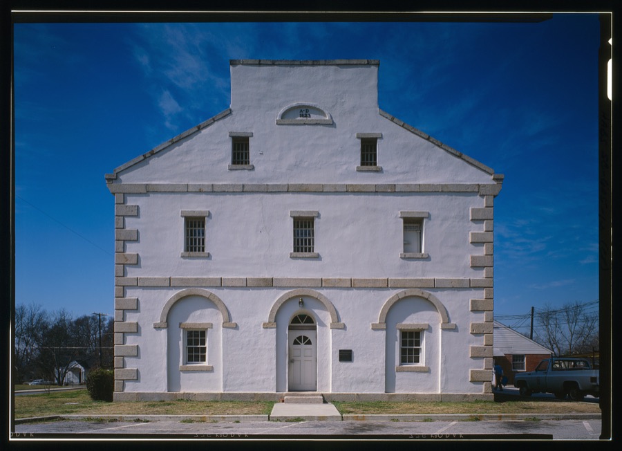
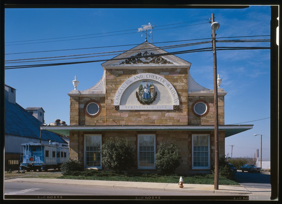
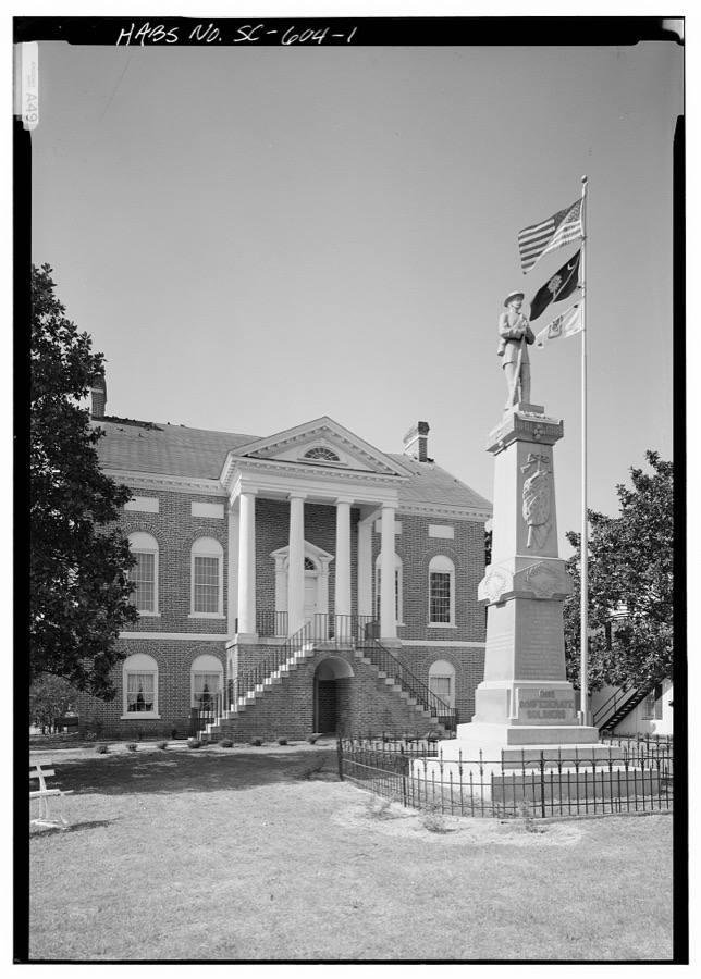
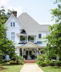
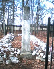
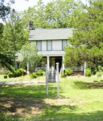
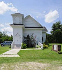
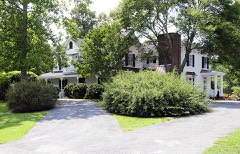
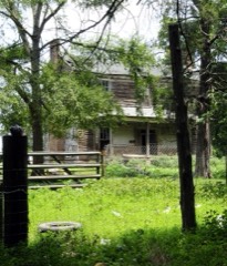
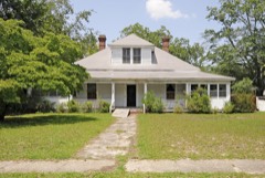
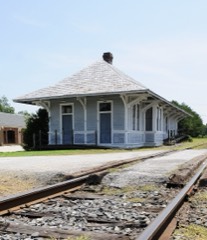
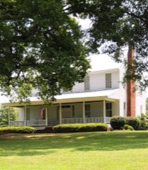
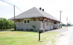
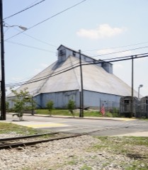
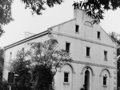
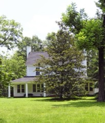
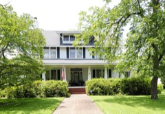
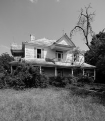
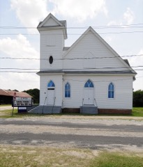
Every property in this county listed on the National Register of Historic Places, with the year it was listed and the federal nomination document.
Sampled issues, machine-read from the Library of Congress scan and published page by page, so every headline and column is searchable text.
Lancaster, S.C., 1905 to Current. Machine-read from the Library of Congress scan.
Lancaster, S.C., 1852 to 1905. Machine-read from the Library of Congress scan.
Lancaster, S.C., 1891 to 1905. Machine-read from the Library of Congress scan.
Selected from the Digital Public Library of America's 1 image records catalogued for this county. Every one shown here carries a public-domain status or a licence that permits reuse on a site that carries advertising; non-commercial, share-alike and restricted images are excluded. The selection is spread across the county's towns (at most eight per town), so no single institution's bulk upload crowds out the rest. Each opens the holding library's record, and the complete set at the Digital Public Library of America is one click away.

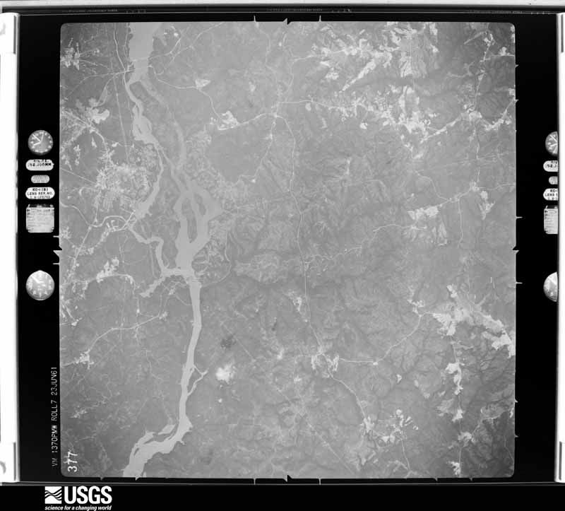
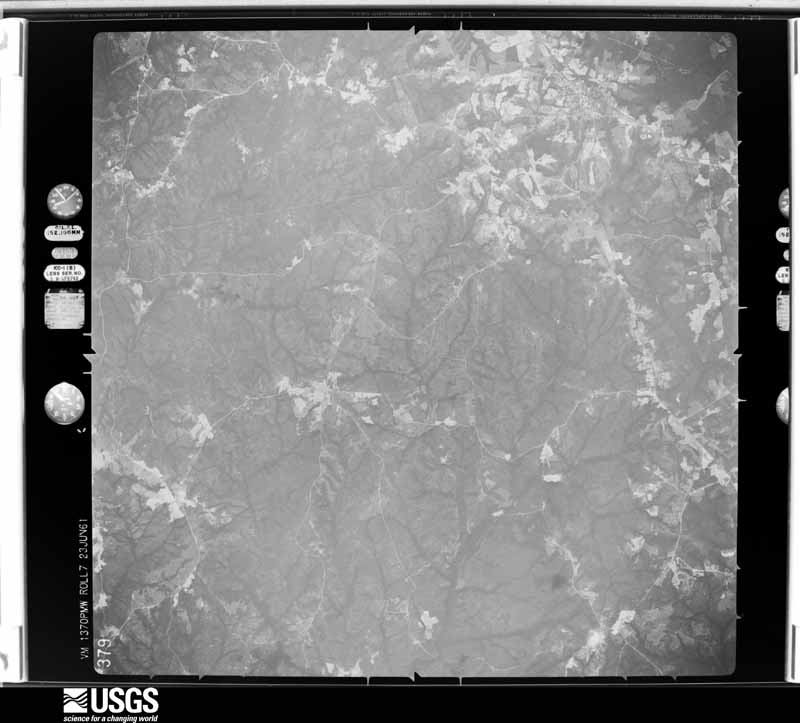
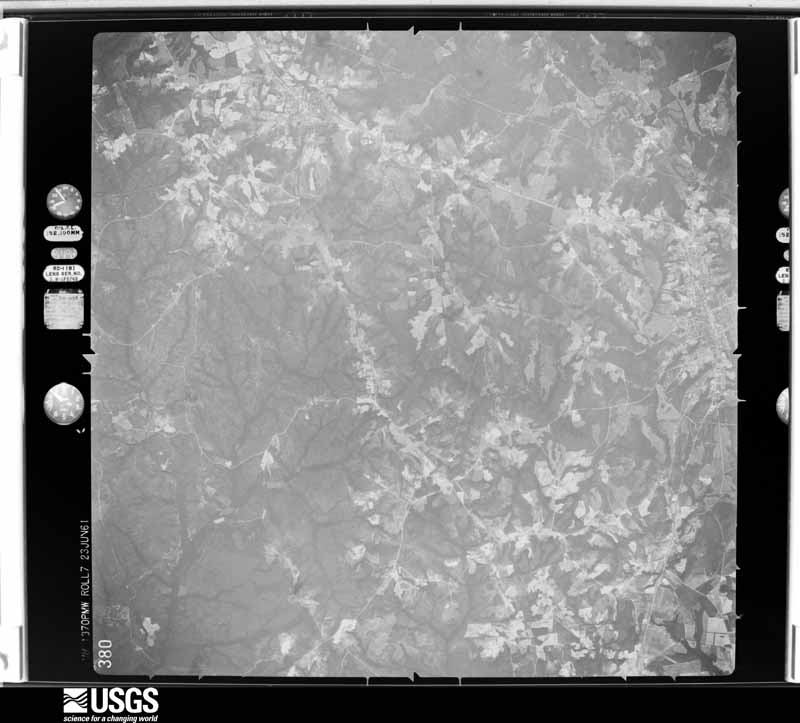
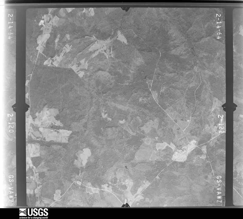
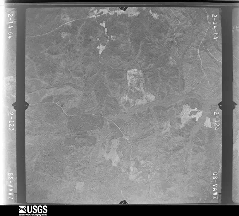
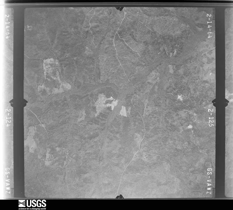
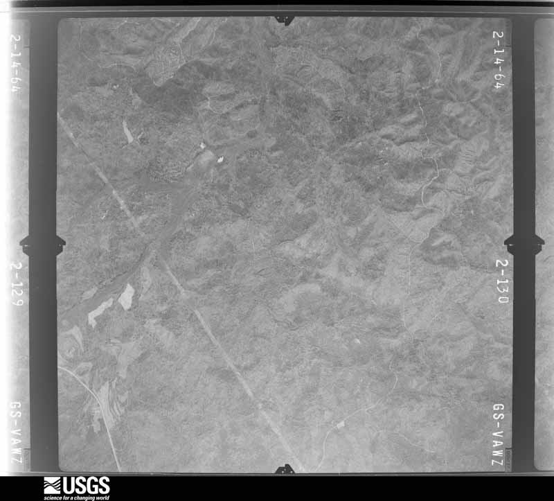
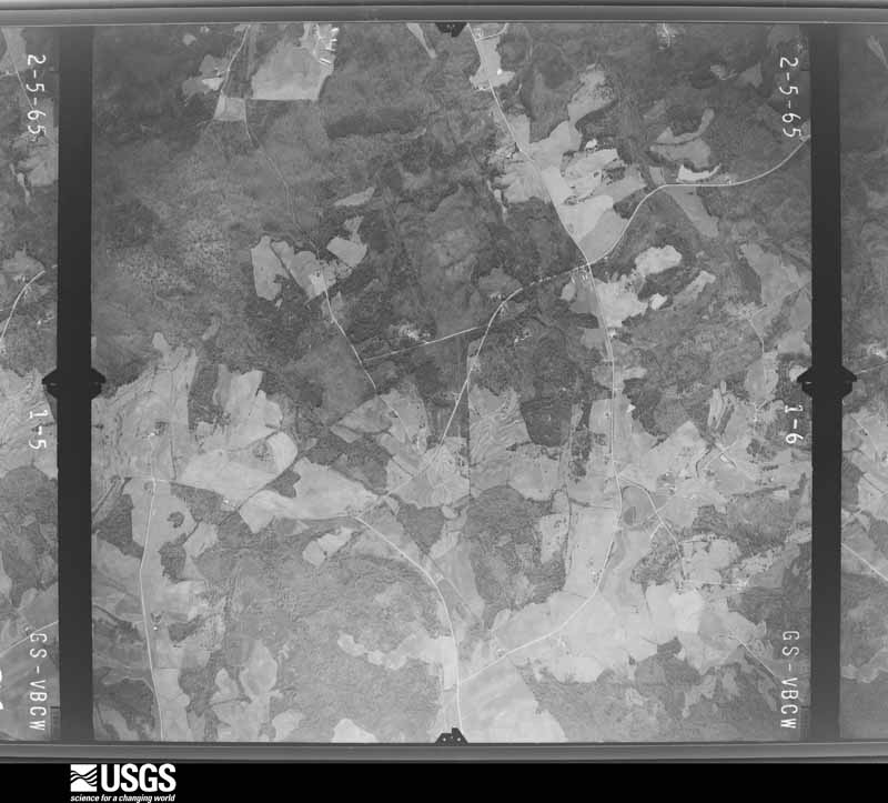
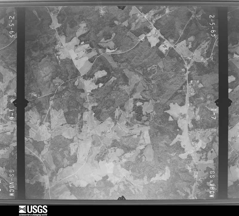
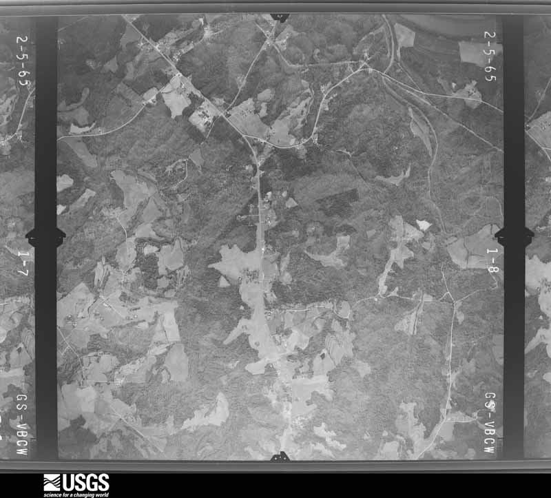
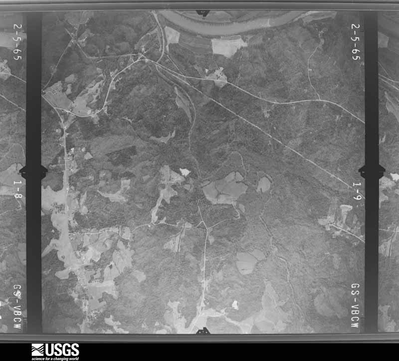
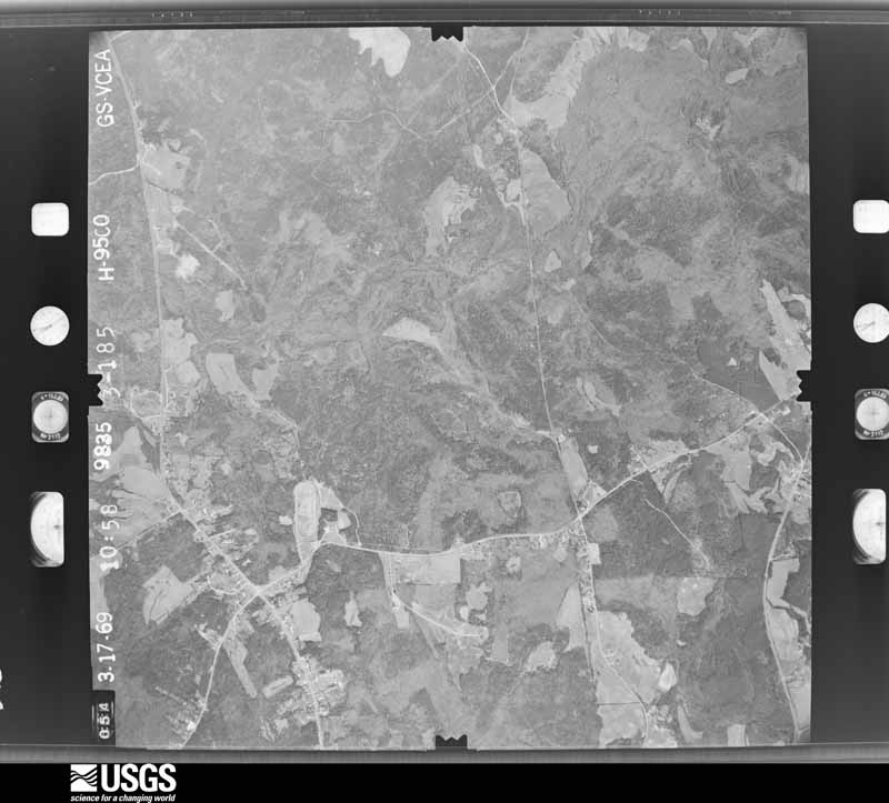
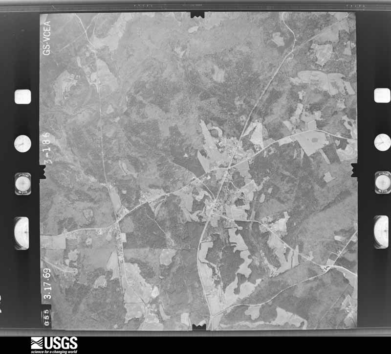
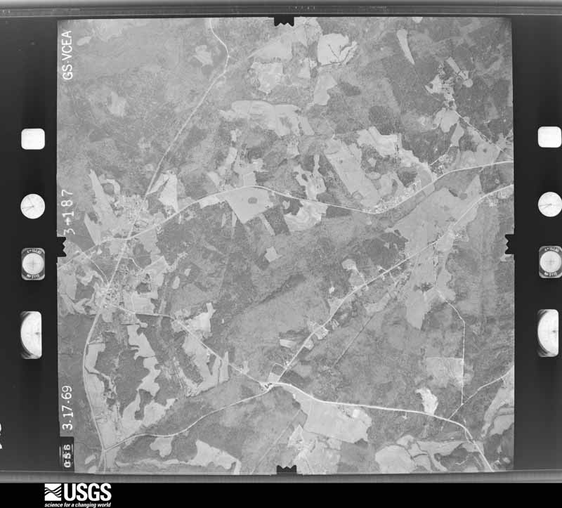
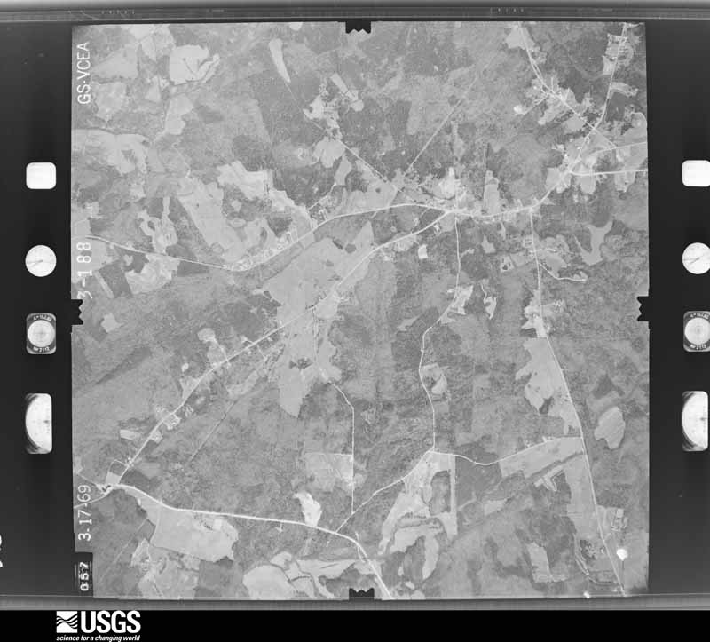
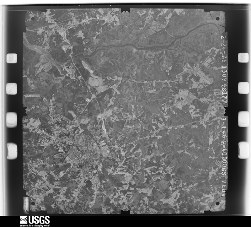
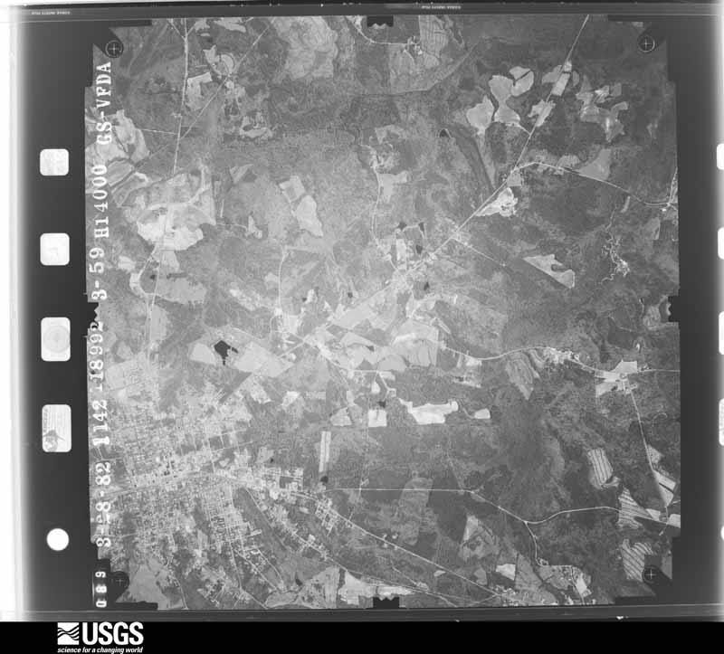
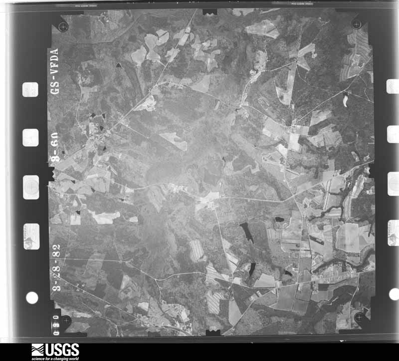
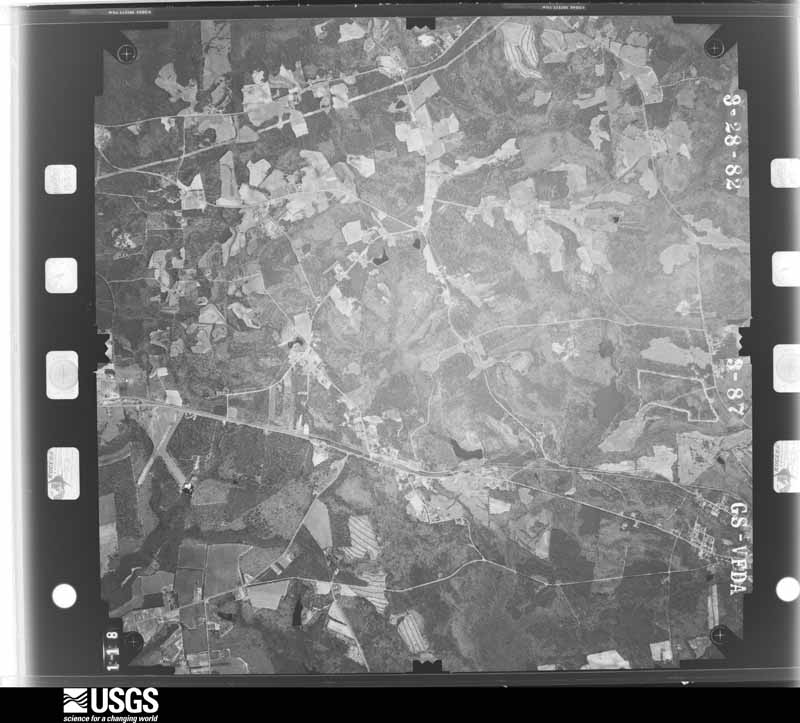
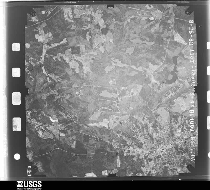
Flown by the U.S. Geological Survey between 1937 and 1989, the Aerial Photo Single Frames collection is the definitive mid-century view of the land: fields, roads and rivers as the camera saw them. The Survey holds 1,552 frames inside the rectangle that bounds this county; the 25 frames below were taken over the county itself, chosen across the decades of flights (at most four a year from that rectangle), so one flight cannot crowd out the rest. The full set is free to browse and download at EarthExplorer under the dataset Aerial Photo Single Frames.





The thermometers that kept this county's weather, and the gages that measured the flow of its streams, as the federal records hold them. The extremes below are measured values from those records, not estimates.
Who lived here in 1950, one enumeration district at a time, as the Census Bureau described each district. Each row opens its official National Archives result, with Population Schedules and ED Maps available there.
Every wildfire the federal occurrence database records inside this county: 932 of them, burning about 3,494 acres. 27 started naturally and 71 were recorded as arson. Each settlement page carries the fires within five miles of it.
| Reported cause | Fires |
|---|---|
| Missing data/not specified/undetermined | 342 |
| Debris and open burning | 306 |
| Equipment and vehicle use | 72 |
| Arson/incendiarism | 71 |
| Misuse of fire by a minor | 45 |
| Smoking | 35 |
| Natural | 27 |
| Recreation and ceremony | 13 |
| Railroad operations and maintenance | 11 |
| Fireworks | 4 |
| Other causes | 4 |
| Power generation/transmission/distribution | 2 |
The five largest, by the area the report gives. One of them was set deliberately.
| Date | Cause | Size | Reported by | Name on the report |
|---|---|---|---|---|
| 1 April 1997 | Missing data/not specified/undetermined | 106 acres | South Carolina Forestry Commission | not named |
| 23 June 2008 | Natural | 104 acres | South Carolina Forestry Commission | HWY 97 |
| 23 March 1994 | Missing data/not specified/undetermined | 100 acres | South Carolina Forestry Commission | not named |
| 23 March 1994 | Missing data/not specified/undetermined | 75 acres | South Carolina Forestry Commission | not named |
| 8 March 1992 | Missing data/not specified/undetermined | 75 acres | South Carolina Forestry Commission | not named |
| 17 July 1997 | Natural | 60 acres | South Carolina Forestry Commission | not named |
| 17 July 1997 | Natural | 60 acres | South Carolina Forestry Commission | not named |
| 2 March 2006 | Arson/incendiarism | 50 acres | South Carolina Forestry Commission | not named |
Every settlement page carries the fires within five miles of it - see the settlement index below.
The NOAA Storm Events Database holds 508 reports for this county, causing 2 deaths, 18 injuries and about $31,105,810 in recorded property damage. Each settlement page carries the reports that name it.
| Kind of event | Reports |
|---|---|
| Thunderstorm Wind | 283 |
| Hail | 134 |
| Flash Flood | 62 |
| Tornado | 13 |
| Flood | 7 |
| Lightning | 6 |
| Funnel Cloud | 2 |
| Heavy Rain | 1 |
The most serious of them, by death, then injury, then recorded damage. The accounts are quoted exactly as the forecast office filed them.
| When | Event | Place named | Harm | What the report says |
|---|---|---|---|---|
| May 2020 | Thunderstorm Wind | Crocketts Xrds | 1 killed | Broadcast media reported, and was later confirmed by county officials, that strong thunderstorm winds toppled a tree and power pole which fell onto a vehicle traveling on Small St near Springdale Rd, in the town of Springdale, and killed a 57-year-old male. |
| January 2015 | Flood | Lancaster | 1 killed | EM reported one fatality when a pickup truck tried to drive through a flooded area and the went onto the shoulder that was washed out. The truck went into the stream and when the driver tried to get out he was carried away. The incident occurred around 630am. |
| May 1989 | Thunderstorm Wind | not stated | 7 hurt | no account filed |
| March 1984 | Tornado (F4) | not stated | 5 hurt, $25,000,000 | no account filed |
| January 1995 | Thunderstorm Wind | not stated | 3 hurt, $120,000 | Severe thunderstorms moved across Kershaw, Lancaster, and Chesterfield Counties causing several areas of localized wind damage. Trees were uprooted, large tree limbs broken, and roofs damaged. More than 6,500 residents were left without power. The Westville and Boonetown areas in Kershaw County were hard hit with 16 homes destroyed or heavily damaed, three cars heavily damaged, and many mobile homes blown off their foundations. There were three or more minor injuries. Trees were downed across Mt. Zion Road, Park Road, Knights Hill Road, and Proctor Road. Plate glass windows were blown out in city of Kershaw. Approximately 6,500 homes were left without power in Kershaw County with an estimated damage of $1.5 million. In Chesterfield County trees were blown on houses* in McBee, Chesterfield, and Cheraw. Highways SC 145 and SC 102 were blocked by fallen trees; an established auto repair shop at intersection of SC 109 and SC 145, was destroyed. Damage in Chesterfield County estimated at $100,000. |
| June 1989 | Tornado (F1) | not stated | 1 hurt, $2,500,000 | no account filed |
| July 2012 | Thunderstorm Wind | Heath Spgs | 1 hurt, $16,000 | EM reported a tree fell on a moving truck along Bethel Road with no serious injuries. |
| June 2000 | Thunderstorm Wind | Lancaster | 1 hurt | Sheriff reported widespread trees and power lines down in Lancaster. |
| April 2009 | Thunderstorm Wind | Lancaster | $500,000 | EM reported many trees down on homes and 3/4 inch hail with a microburst that hit the Lancaster area. |
| April 1957 | Tornado (F4) | not stated | $250,000 | no account filed |
| April 1957 | Tornado (F1) | not stated | $250,000 | no account filed |
| April 2005 | Lightning | Lancaster | $125,000 | Lightning struck a home on Westmoreland Drive and caused significant damage. |
| September 2011 | Thunderstorm Wind | Lancaster | $120,000 | Numerous trees and powerlines were reported down on Laurel Ave, some falling onto homes with no injuries. |
| May 2011 | Thunderstorm Wind | Lancaster | $86,000 | EM reported numerous tress and powerlines down in Lancaster. Newspaper reported 4600 people were without power throughout the county. |
| July 2015 | Thunderstorm Wind | Pleasant Hill | $85,000 | EM reported trees and powerlines down, several homes damaged, one with the roof torn off part of the backside of the home, several outbuildings and a turkey barn were badly damaged, and a chain link fence was blown down. |
| September 2014 | Flash Flood | Stewarts Xrds | $85,000 | SC Highway Patrol reported road washout on Tabernacle road between Buford High School and Shiloh Unity Road. Other roads in the area were impassible. |
| July 2013 | Flash Flood | Jones Xrds | $84,000 | Lancaster County Dispatch reported homes flooded on Deputy Brent McCants Ave. |
| April 2011 | Hail | Lancaster | $80,000 | Lancaster EMA reported 3 separate episodes of hail. Golfball size hail occurred from 615-630pm, 1.5-2 inch hail occurred from 710-720pm. Pea to marble size hail occurred between 730-740pm. Hail covered the ground and there was one tree knocked down by a wind gust. |
| April 2011 | Hail | Spring Dell | $80,000 | HAM radio operator reported tennis ball size hail 1 mile south of the intersection of State Route 5 and State Route 75 near Van Wyck. |
| September 2014 | Flash Flood | Taxahaw | $78,000 | EM reported many road washouts along with several bridges/culverts. |
| July 2010 | Tornado (EF0) | Sapps Xrds | $65,000 | NWS and Emergency Management found around two dozen homes with minor damage and numerous trees down along Camp Creek Road. |
| July 2005 | Lightning | Lancaster | $65,000 | Lightning struck a home on Balkcum Road and did $65k worth of damage. |
| September 2014 | Lightning | Irwin | $60,000 | Emergency Manager reported a house fire on Pink Dogwood Road that was caused by lightning which destroyed the home. |
| January 2010 | Flash Flood | Lancaster | $60,000 | Thunderstorms produced around 3 inches of rain within a couple of hours that sent many streams over their banks and washing out roads. |
| July 2010 | Thunderstorm Wind | Sapps Xrds | $60,000 | NWS and Emergency Management found many trailers damaged in a mobile home park from an intense microburst. Several were turned over, one was destroyed, and others had minor to moderate damage. |
| June 2006 | Thunderstorm Wind | Lancaster | $60,000 | A downburst down trees on the Ghent family home on Major Evans Road. Trees fell on the home and started a fire which significantly damaged the home. |
| September 2012 | Flash Flood | Camp Creek | $50,000 | Sheriff reported numerous roads flooded in central Lancaster County. |
| June 1995 | Thunderstorm Wind | Lancaster area | $50,000 | Thunderstorm winds damaged 50-foot section of hanger's roof, damaged two planes inside hanger, lifted 100-foot of hanger setting it back down, but collapsed 60 feet of building. |
| April 2011 | Thunderstorm Wind | Lancaster | $45,000 | Microburst winds took trees down, one fell on a home at 1536 Tin Lane. |
| April 2011 | Hail | Van Wyck | $45,000 | Hail reported...bigger than quarter sized but small than golfball sized...at the Indian Land AMACO station. Also, several cars had broken windshields. |
| April 2011 | Hail | Lancaster | $40,000 | Spotter reported golfball size hail in Lancaster. |
| April 2011 | Hail | Van Wyck | $40,000 | County EM measured golfball size hail with dents covering his vehicle and others. |
| April 2011 | Hail | Tradesville | $40,000 | Public reported golfball size hail covering the ground at the M and R Mini Mart. |
| April 2011 | Hail | Van Wyck | $40,000 | Hail measuring 2 inches was reported at Andrew Jackson State Park. |
| April 2011 | Hail | Van Wyck | $40,000 | Public reported 2 inch hail. |
| February 2003 | Flash Flood | Countywide | $40,000 | Sheriff reported flash flooding along many streams including Run Creek and Hannah Creek. A couple of trailor parks had to be evacuated as water was rising into the mobil homes. |
| September 2014 | Flash Flood | Dwight Xrds | $32,000 | Dispatch reported flooding on Doster, Plyer, Mill, Happy Trail, Langley, Gills Creek, and Taxahaw roads with several washouts. |
| April 2011 | Hail | Kershaw | $30,000 | Storm chaser and meteorologist reported 1.5 inch hail in the town of Kershaw. |
| April 2011 | Hail | Douglas | $30,000 | Pbulic reported golfball size hail near Hwy 200 and Lloyd Reid Road. |
| April 2011 | Hail | Lingles Xrds | $25,000 | Pbulic reported 1.5 inch hail that covered the ground at the Express Mart. |
| July 2010 | Thunderstorm Wind | Stewarts Xrds | $25,000 | NWS and Emergency Management found many trees down, some on a few homes, in the area bounded by Shiloh Unity, Stacks, Robert Usher, and Rowell roads. |
| March 1977 | Tornado (F1) | not stated | $25,000 | no account filed |
| July 2012 | Thunderstorm Wind | Taxahaw | $24,000 | The Lancaster News reported several trees fell onto some sheds at a home in the Charlesboro Community crushing them. |
| September 2012 | Flash Flood | Camp Creek | $24,000 | Lancaster County EM reported a car washed off of Catoe Road. |
| January 2024 | Flash Flood | Crocketts Xrds | $20,000 | Rum Creek and surrounding tributaries flooded and affected two homes on Country Club Dr. Both homes were flooded by 2 to 4 feet of water. |
| September 2012 | Flash Flood | Taxahaw | $20,000 | Water covering the bridge along Hwy 9 near the Lancaster Chesterfield county line. Many other roads including Doster road also flooded and closed. |
| December 2008 | Thunderstorm Wind | Lancaster | $20,000 | A microburst did minor damage to several homes and a business on the southwest side of town between Memorial Drive and Wade Street. Siding and shigles were damaged and the roof of a foundary was damaged. |
| June 2015 | Hail | Van Wyck | $18,000 | Police Officer reported golf ball size hail with trees and powerlines down on Harrisburg Road. |
| June 2015 | Thunderstorm Wind | Elgin | $18,000 | EM reported many trees and powerlines down from Elgin to East Doc Garris Road...3500 residents without power. |
| September 2012 | Flash Flood | Camp Creek | $18,000 | Lancaster County EM reported a water rescue of patrons in a vehicle on Langley road. |
| June 2011 | Thunderstorm Wind | Lancaster | $18,000 | Sheriff reported numerous trees and powerlines down between Hwy 5 South and the City of Lancaster. A building also had its roof partially torn off. |
| September 2015 | Thunderstorm Wind | Lancaster | $16,000 | Dispatch reported a tree fell onto a home on Fairfield Street in Lancaster. |
| September 2012 | Flash Flood | Camp Creek | $16,000 | Sheriff reported Hershel Plyer Road and Gills Creek Drive flooded and impassable. |
| December 2015 | Flash Flood | Lancaster Co Arpt | $15,000 | Sheriff Dispatch reported several roads in the county are impassable to due high water. Portions of Kershaw-Camden Hwy...Shiloh Unity Road and Camp Creek Road were closed due to flooding. |
| February 1997 | Thunderstorm Wind | Lancaster | $15,000 | no account filed |
| November 1996 | Thunderstorm Wind | Lancaster | $15,000 | no account filed |
| September 2015 | Thunderstorm Wind | Elgin | $14,000 | Dispatch reported straight line wind damage, including an awning on Adam Lane, a downed tree on King Mill Road, and powerlines down on Flat Creek Road. |
| December 2009 | Flash Flood | Lancaster | $14,000 | Sheriff departments in Lancaster, Chesterfield, Kershaw, and Fairfield counties reported considerable flash flooding in portions of their counties. Many streams were overflowing roads, bridges, and flooding low lying areas. Several washouts and road closures were also reported. |
| September 2015 | Thunderstorm Wind | Lancaster | $12,000 | Dispatch reported a large carport and shed blown down on Fairfield Street in Lancaster. |
| June 2015 | Thunderstorm Wind | Jones Xrds | $12,000 | Emergency Manager reported trees and powerlines down. |
The Survey's mineral resources record lists 69 workings inside this county. 10 still produce and 59 are closed or unrecorded. Each settlement page carries the workings within five miles of it.
| Commodity | Workings |
|---|---|
| Gold | 34 |
| Clay | 13 |
| Sand and Gravel, Construction | 7 |
| Mica | 6 |
| Granite, Stone, Dimension | 5 |
| Copper | 2 |
| Granite, Sand and Gravel, Construction | 1 |
| Quartz | 1 |
| Mica, Silver, Gold | 1 |
| Sulfur | 1 |
| Tin, Molybdenum | 1 |
| Stone, Dimension | 1 |
| Silver, Gold | 1 |
The least common of them first, because a county's hundredth gravel pit says nothing its first ten did not.
| Where | Site | Commodity | Status | Recorded |
|---|---|---|---|---|
| Coral Grey Quarry | Stone, Dimension | Producer | ||
| Haile Mine | Mica, Silver, Gold, Sulfur, Tin, Molybdenum | Unknown | 1827, 1828, 1992 | |
| Haile Mine | Silver, Gold | Plant | 1827, 1829 | |
| Liberty Hill Deposit | Quartz | Past Producer | 1954 | |
| Sistore Gravel Pit | Granite, Sand and Gravel, Construction | Past Producer | Weathering Residual | |
| Hagin Mine | Gold, Copper | Past Producer | 1856 | |
| Hagin Mine | Gold, Copper | Past Producer | ||
| Carolina Mahogany No.1 | Granite, Stone, Dimension | Past Producer | 1980 | |
| Congaree Quarry | Granite, Stone, Dimension | Past Producer | Igneous | |
| Excelsior Granite Quarry | Granite, Stone, Dimension | Past Producer | Igneous | |
| Old Sumter Granite Quarry | Granite, Stone, Dimension | Past Producer | Igneous | |
| Taxehaw Granite Quarry | Granite, Stone, Dimension | Past Producer | Igneous | |
| Blackmon Mine | Gold, Mica | Unknown | 1840, 1906 | |
| Hilltop Mine | Mica | Producer | 1981 | |
| Kershaw Mine | Mica | Unknown | Mica | |
| Kershaw Mine | Mica | Producer | ||
| Sericite Pit Number 1 | Mica | Unknown | Metamorphic | |
| Sericite Pit Number 2 | Mica | Unknown | Metamorphic | |
| Faulkenberry Sand Pit | Sand and Gravel, Construction | Past Producer | Sedimentary | |
| Lancaster County Mines | Sand and Gravel, Construction | Producer | ||
| Pageland Mine | Sand and Gravel, Construction | Producer | ||
| Parker Sand Pit | Sand and Gravel, Construction | Past Producer | Sedimentary | |
| Parker Sand Pit | Sand and Gravel, Construction | Producer | ||
| Unidentified Sand Pit | Sand and Gravel, Construction | Past Producer | Unconsolidated Sediments | |
| Unidentified Sand Pit | Sand and Gravel, Construction | Past Producer | Sedimentary | |
| Faile Mine | Clay | Producer | ||
| Howey Mine | Clay | Past Producer | Metamorphic | |
| Lancaster Mill | Clay | Past Producer | ||
| Miller Mine | Clay | Producer | Metamorphic | |
| Old Shale Pit | Clay | Unknown | Metamorphic | |
| Shale Pit Number 2 | Clay | Unknown | Metamorphic | |
| Unidentified Clay Pit | Clay | Past Producer | Weathering Residual | |
| Unidentified Clay Pit | Clay | Unknown | Sedimentary | |
| Unidentified Clay Pit | Clay | Past Producer | Sedimentary | |
| Van Wyck Mine | Clay | Past Producer | Sedimentary | |
| Van Wyck Mine | Clay | Producer | ||
| Yoder #1(Yoder#2) | Clay | Past Producer | Sedimentary | |
| Yoder #2 (Robert Yoder) | Clay | Past Producer | Metamorphic | |
| Belk Mine | Gold | Past Producer | ||
| Belk Mine | Gold | Past Producer | ||
| Blackmon Mine | Gold | Past Producer | ||
| Brassington Mine | Gold | Past Producer | ||
| Brothers Belk | Gold | Past Producer | ||
| Clyburn Mines | Gold | Past Producer | ||
| Cureton Mine | Gold | Past Producer | ||
| Funderbunk Mine | Gold | Unknown | Vein | |
| Funderburk Mine | Gold | Past Producer | ||
| Funderburk Mine | Gold | Past Producer | ||
| Gay Mine | Gold | Past Producer | ||
| Gold Hill | Gold | Unknown | Vein | |
| Gold Hill Mine | Gold | Past Producer | ||
| Ingram Mine | Gold | Unknown | Vein | |
| Ingram Mine | Gold | Past Producer | ||
| Izell Mine | Gold | Past Producer | ||
| Izell Or Ezell | Gold | Past Producer | 1849 | |
| Johnson Mine | Gold | Past Producer | ||
| Johnson Mine | Gold | Unknown | Vein | |
| Johnson Mine | Gold | Past Producer | ||
| Joseph Clark Estate Mine | Gold | Past Producer | ||
| Knight Prospect | Gold | Past Producer | ||
| Knights Prospect | Gold | Prospect | ||
| Massey Mine | Gold | Past Producer | ||
| Phiffer Prospect | Gold | Prospect | ||
| Redding Placer | Gold | Unknown | Placer | |
| Redding Placer | Gold | Past Producer | ||
| Stevens Mine | Gold | Unknown | Vein | |
| Stevens Mine | Gold | Past Producer | ||
| Stroud Prospect | Gold | Occurrence | ||
| Stroud Prospect | Gold | Past Producer |
Named settlements recorded in the Geographic Names Information System, each with the topographic sheets covering it. Villages, hamlets and abandoned places alike. Each is shown with the nearest named watercourse or landform and the survey quadrangle it falls on. The 1 place that was also surveyed for fire insurance comes first, with the number of atlases and photographs held for them.
Lancaster census division · 29720 · On Hannahs Creek · Lancaster quadrangle
14 sheets, 1941 to 1986
Fire insurance: 9 atlases
Lancaster census division · 29720 · On Caney Branch · Antioch quadrangle
13 sheets, 1941 to 1986
Lancaster census division · 29720 · On Sandy Branch · Van Wyck quadrangle
13 sheets, 1941 to 1986
Van Wyck census division · 29707 · On Sugar Creek · Catawba NE quadrangle
15 sheets, 1941 to 1986
Kershaw census division · 29718 · On Flat Creek · Jefferson quadrangle
12 sheets, 1941 to 1986
Heath Springs census division · 29720 · On Dry Creek · Lancaster SE quadrangle
13 sheets, 1941 to 1986
Lancaster census division · 29720 · On South Prong Camp Creek · Unity quadrangle
14 sheets, 1941 to 1986
Lancaster census division · 29720 · On Camp Creek · Lancaster quadrangle
14 sheets, 1941 to 1986
Heath Springs census division · 29058 · Lancaster SE quadrangle
13 sheets, 1941 to 1986
Lancaster census division · 29720 · On Camp Creek · Lancaster quadrangle
14 sheets, 1941 to 1986
Lancaster census division · 29720 · On Gills Creek · Lancaster quadrangle
14 sheets, 1941 to 1986
Lancaster census division · 29720 · Lancaster quadrangle
14 sheets, 1941 to 1986
Lancaster census division · 29720 · Lancaster quadrangle
14 sheets, 1941 to 1986
Van Wyck census division · 29720 · Van Wyck quadrangle
13 sheets, 1941 to 1986
No longer a settlement
Lancaster census division · 29720 · Unity quadrangle
14 sheets, 1941 to 1986
Lancaster census division · 29720 · On Dry Branch · Antioch quadrangle
13 sheets, 1941 to 1986
Lancaster census division · 29720 · On Dry Branch · Antioch quadrangle
13 sheets, 1941 to 1986
Lancaster census division · 29720 · On Rum Creek · Lancaster quadrangle
14 sheets, 1941 to 1986
Lancaster census division · 29720 · On Little Turkey Creek · Lancaster quadrangle
14 sheets, 1941 to 1986
Heath Springs census division · 29058 · On Ellis Creek · Taxahaw quadrangle
13 sheets, 1941 to 1986
Lancaster census division · 29720 · On Foster Branch · Van Wyck quadrangle
13 sheets, 1941 to 1986
Lancaster census division · 29720 · On Rum Creek · Lancaster quadrangle
14 sheets, 1941 to 1986
Lancaster census division · 29720 · Lancaster quadrangle
14 sheets, 1941 to 1986
Lancaster census division · 29720 · On Gills Creek · Lancaster quadrangle
14 sheets, 1941 to 1986
Lancaster census division · 29720 · On Camp Creek · Lancaster quadrangle
14 sheets, 1941 to 1986
Van Wyck census division · 29720 · On Sixmile Creek · Catawba NE quadrangle
15 sheets, 1941 to 1986
Heath Springs census division · 29058 · Heath Springs quadrangle
13 sheets, 1941 to 1986
Lancaster census division · 29720 · On Rum Creek · Lancaster quadrangle
14 sheets, 1941 to 1986
Heath Springs census division · 29720 · Lancaster quadrangle
14 sheets, 1941 to 1986
Lancaster census division · 29720 · On Little Turkey Creek · Antioch quadrangle
13 sheets, 1941 to 1986
Heath Springs census division · 29058 · On Cedar Creek · Lancaster SE quadrangle
13 sheets, 1941 to 1986
No longer a settlement
Lancaster census division · 29720 · On Gills Creek · Lancaster quadrangle
14 sheets, 1941 to 1986
Lancaster census division · 29720 · On South Prong Camp Creek · Unity quadrangle
14 sheets, 1941 to 1986
Kershaw census division · 29067 · On Mobley Branch · Heath Springs quadrangle
13 sheets, 1941 to 1986
Heath Springs census division · 29058 · Lancaster SE quadrangle
13 sheets, 1941 to 1986
Heath Springs census division · 29058 · Heath Springs quadrangle
13 sheets, 1941 to 1986
Lancaster census division · 29720 · On Sandy Branch · Van Wyck quadrangle
13 sheets, 1941 to 1986
Heath Springs census division · 29058 · On Falls Branch · Antioch quadrangle
13 sheets, 1941 to 1986
Lancaster census division · 29720 · On Sandy Branch · Van Wyck quadrangle
13 sheets, 1941 to 1986
Lancaster census division · 29720 · On Turkey Quarter Creek · Lancaster quadrangle
14 sheets, 1941 to 1986
Lancaster census division · 29720 · On Little Turkey Creek · Lancaster quadrangle
14 sheets, 1941 to 1986
Lancaster census division · 29720 · On McAteer Branch · Van Wyck quadrangle
13 sheets, 1941 to 1986
Lancaster census division · 29720 · On Little Turkey Creek · Antioch quadrangle
13 sheets, 1941 to 1986
Lancaster census division · 29720 · Near Lackys Island (historical) · Great Falls quadrangle
12 sheets, 1941 to 1986
Tradesville census division · 29720 · On Silver Run · Tradesville quadrangle
12 sheets, 1941 to 1986
Tradesville census division · 29067 · On Horton Spring Branch · Taxahaw quadrangle
13 sheets, 1941 to 1986
Lancaster census division · 29720 · On Unity Branch · Unity quadrangle
14 sheets, 1941 to 1986
Van Wyck census division · 29720 · On Todd Branch · Van Wyck quadrangle
13 sheets, 1941 to 1986
Lancaster census division · 29720 · On Bear Creek · Lancaster quadrangle
14 sheets, 1941 to 1986
Lancaster census division · 29720 · On Bear Creek · Lancaster quadrangle
14 sheets, 1941 to 1986
Kershaw census division · 29067 · On Lick Creek · Taxahaw quadrangle
13 sheets, 1941 to 1986
The vanished settlements of Lancaster County: the places named above that are no longer on the map.
14 topographic sheets and 9 fire insurance atlases, 1884 to 1948
The complete index, with nothing left out. Each of these is a separate record with its own page: a federal survey report, or the case file that argued a property on to the National Register. Both are public domain and reproduced word for word.
The vanished settlements of Lancaster County, the places these records name that are no longer on the map.