BlockBefore

Lee County, South Carolina

26 topographic sheets and 5 fire insurance atlases across 1 place.

Research this county

From the record

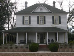
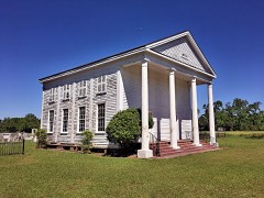
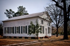
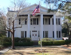
18 National Register listings published here.

Sources: the National Register database, National Park Service

South Carolina within the United States
Lee County within South Carolina

What the record shows

  • 1 place in this county was surveyed for fire insurance: Bishopville, between 1909 and 1940.
  • 5 fire insurance atlases survive for the county. Topographic coverage is national; fire insurance survey reached only incorporated places with something worth insuring.
  • 530 topographic sheet readings cover the county's settlements.
  • 18 properties here are on the National Register of Historic Places: 16 buildings and 2 districts.
  • 2 of the 18 listings were added during the 1970s.
  • The Geographic Names Information System records 35 populated places in this county; 35 are covered by at least one topographic sheet.

Photographs

40 photographs, 1937 to 1939

Taken for the Office of War Information and the Farm Security Administration, who photographed the country between 1935 and 1944. Works of United States government photographers, with no known restriction on use. Each opens its catalogue record.
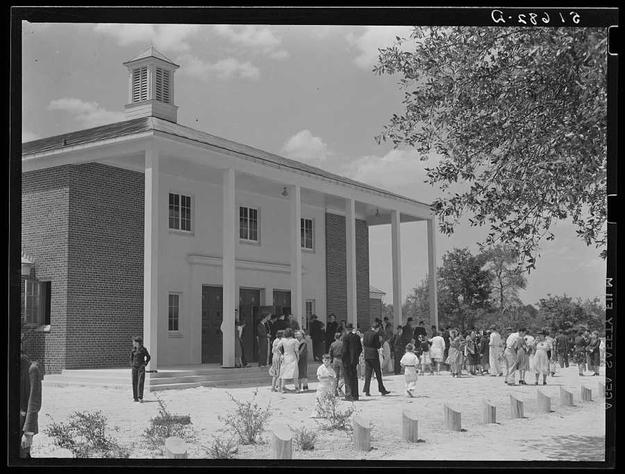
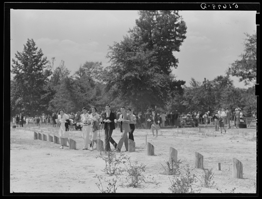
Project families, guests and schoolchildren leaving auditorium for picnic after May Day-Health Day program at Ashwood Plantations, South Carolina
Wolcott, Marion Post, 1939. Library of Congress
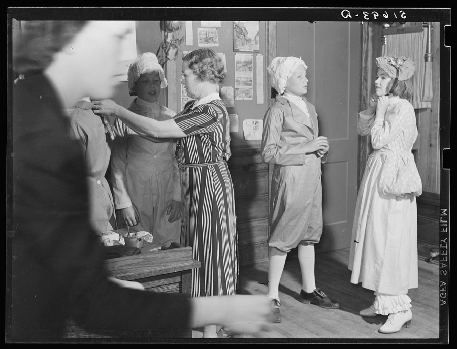
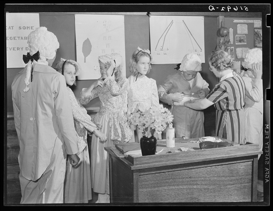
The sixth and seventh grades being made up for their colonial play and dance (tied in with regular school studies) in May Day-Health Day program school at Ashwood Plantations, South Carolina
Wolcott, Marion Post, 1939. Library of Congress
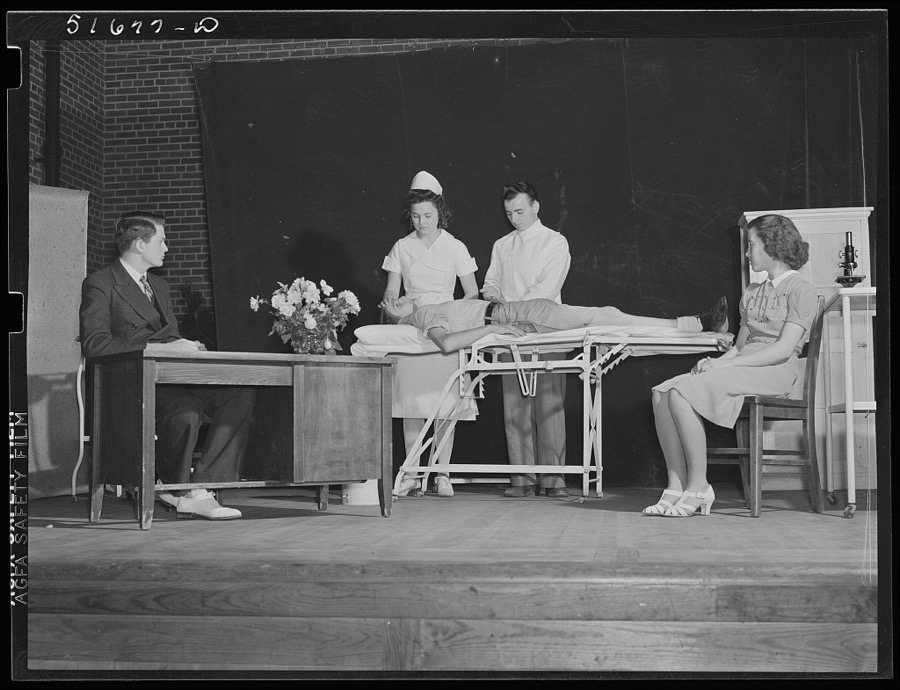
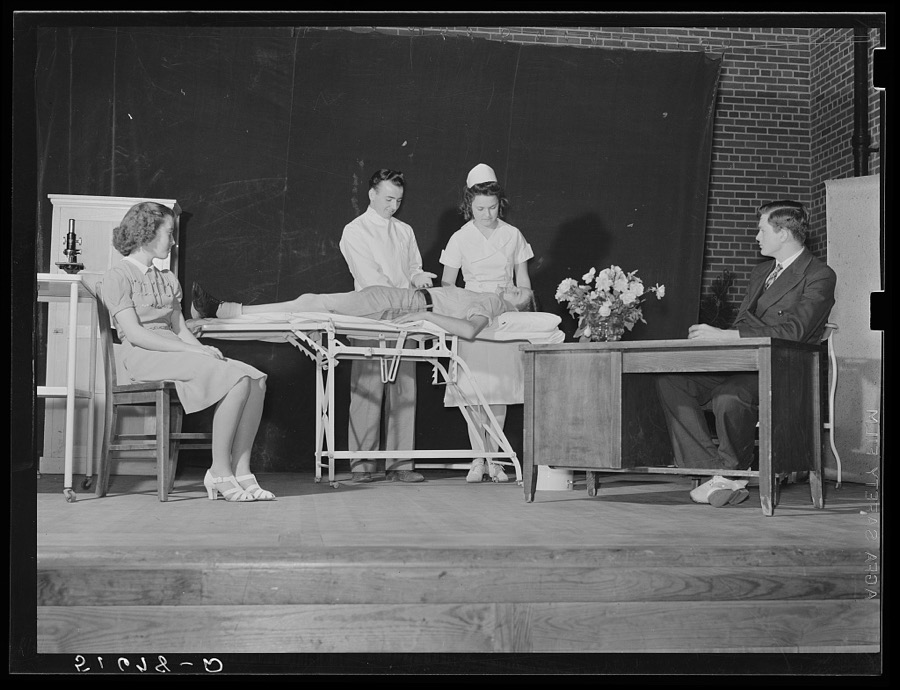
A scene from a play, "History of Ashwood Health Association," written and presented by tenth grade at May Day-Health Day program. Ashwood Plantations, stage of auditorium, South Carolina
Wolcott, Marion Post, 1939. Library of Congress
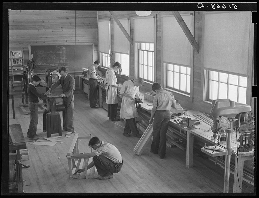
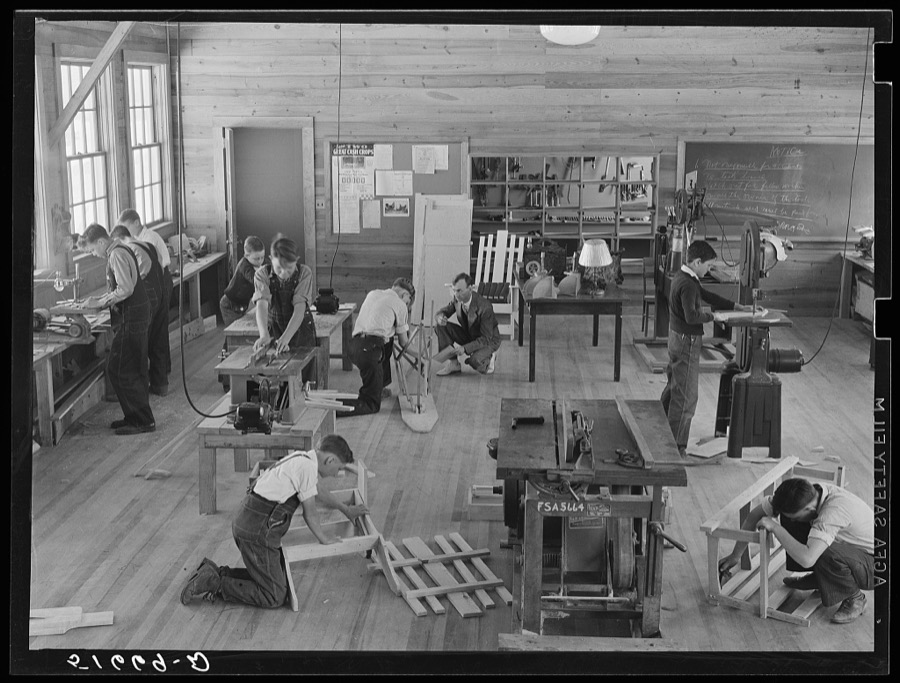
Part of shop class in school with Robert Gentry, teacher, in center at machine. Ashwood Plantations, South Carolina
Wolcott, Marion Post, 1939. Library of Congress
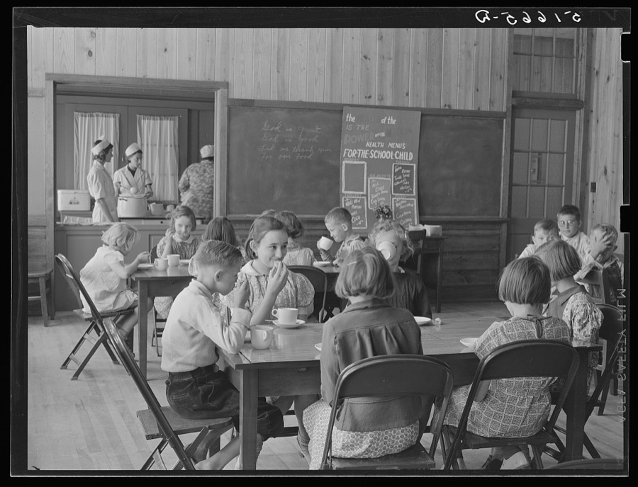
A hot mid-morning lunch in school. Ashwood Plantations, South Carolina
Wolcott, Marion Post, 1939. Library of Congress
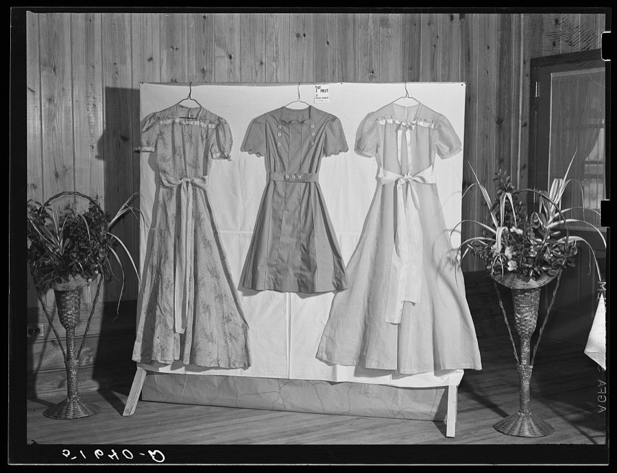
Dresses made by home economics class which won first prize. Ashwood Plantations, South Carolina
Wolcott, Marion Post, 1939. Library of Congress
First grade children singing health song in May Day-Health Day program in auditorium. Ashwood Plantations, South Carolina
Wolcott, Marion Post, 1939. Library of Congress
A hot mid-morning lunch in school. Ashwood Plantations, South Carolina
Wolcott, Marion Post, 1939. Library of Congress
Margaret Segars at sink with dinner tray showing well-balanced meal at right. In background are Dorothy Smith and Elizabeth Atkinson cooking on electric stove in home economics class room in school building. Ashwood Plantations, South Carolina
Wolcott, Marion Post, 1939. Library of Congress
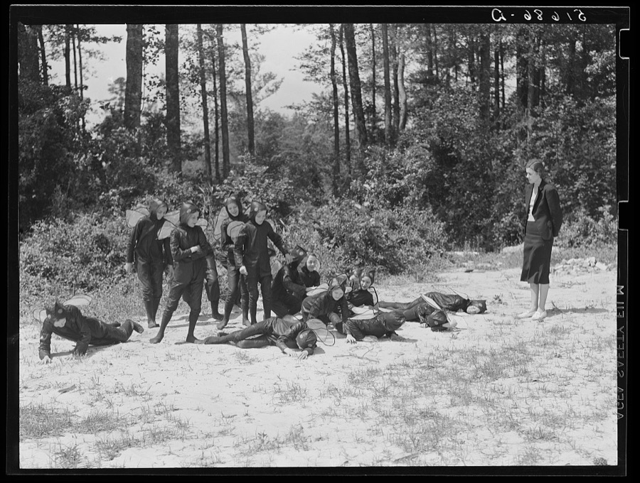
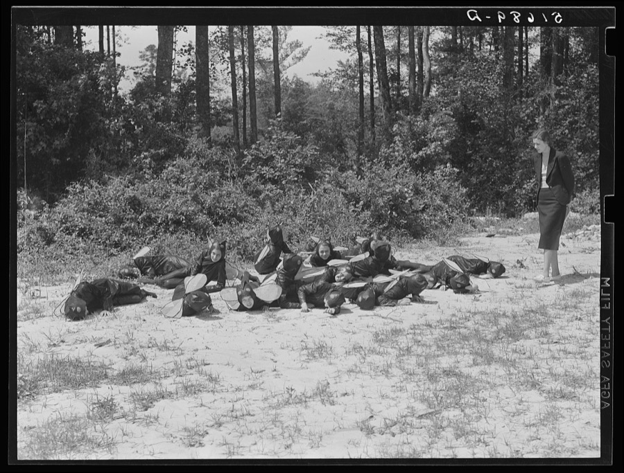
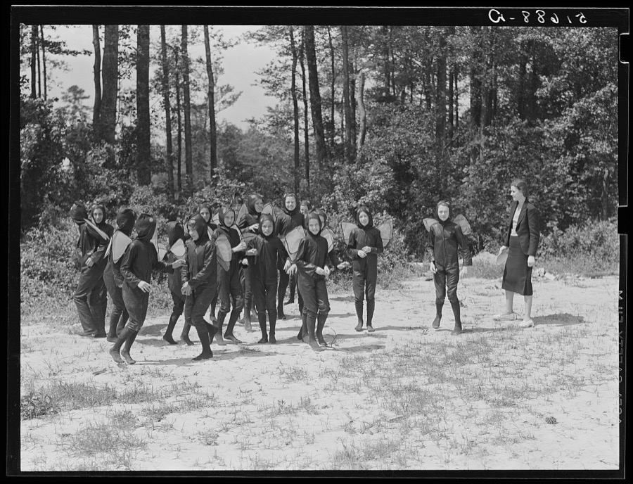
Sixth and seventh grades rehearsing their play "Flies," written by NYA (National Youth Administration) girls for May Day-Health Day program at Ashwood Plantations, South Carolina
Wolcott, Marion Post, 1939. Library of Congress
Science class in school at Ashwood Plantations, South Carolina
Wolcott, Marion Post, 1939. Library of Congress
Margaret Segars at sink with dinner tray showing well-balanced meal at right. In background are Dorothy Smith and Elizabeth Atkinson cooking on electric stove in home economics class room in school building. Ashwood Plantations, South Carolina
Wolcott, Marion Post, 1939. Library of Congress
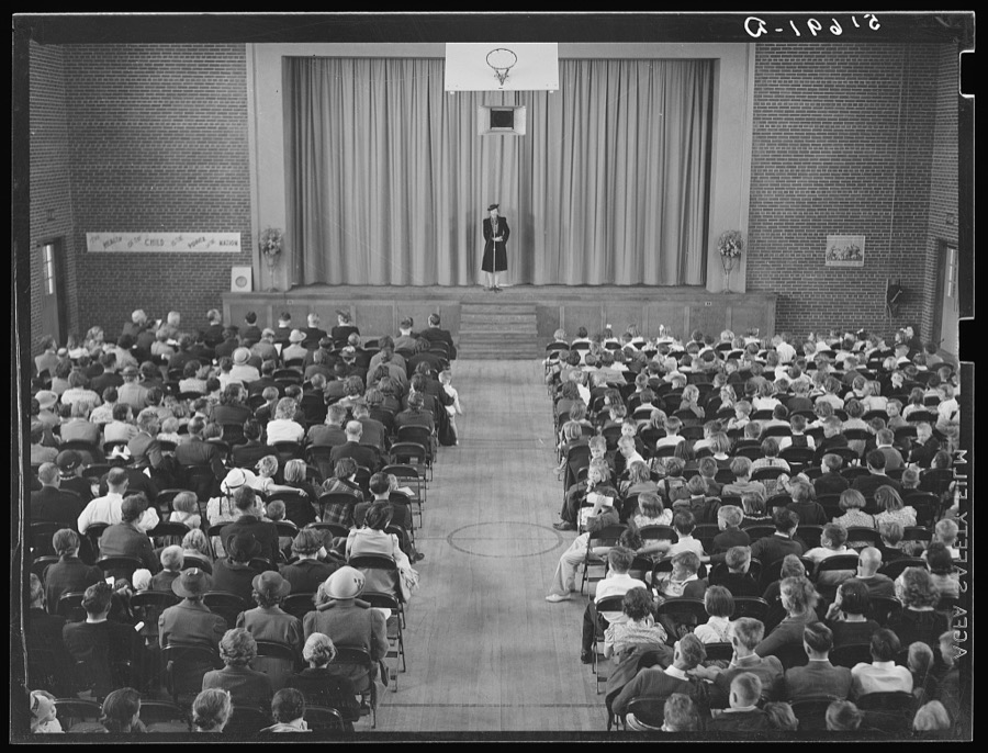
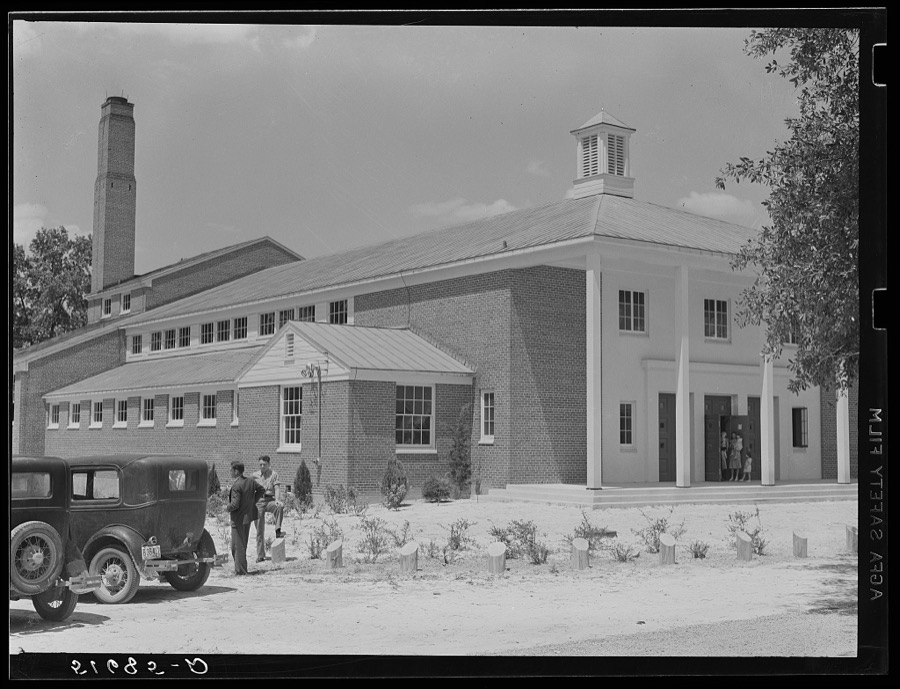
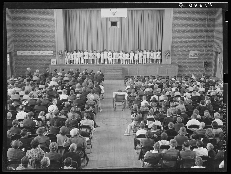
Auditorium at Ashwood Plantations, South Carolina
Wolcott, Marion Post, 1939. Library of Congress
The sixth and seventh grades being made up for their colonial play and dance (tied in with regular school studies) in May Day-Health Day program school at Ashwood Plantations, South Carolina
Wolcott, Marion Post, 1939. Library of Congress
A hot mid-morning lunch in school. Ashwood Plantations, South Carolina
Wolcott, Marion Post, 1939. Library of Congress
A scene from a play, "History of Ashwood Health Association," written and presented by tenth grade at May Day-Health Day program. Ashwood Plantations, stage of auditorium, South Carolina
Wolcott, Marion Post, 1939. Library of Congress
T.A. Davis and Buford Brown at bench saw in shop class. Ashwood Plantations, South Carolina
Wolcott, Marion Post, 1939. Library of Congress
First grade children singing health song in May Day-Health Day program in auditorium. Ashwood Plantations, South Carolina
Wolcott, Marion Post, 1939. Library of Congress
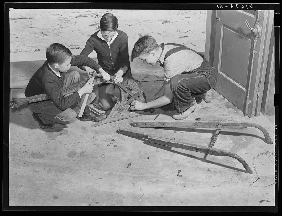
L.O. Baker, Clarence Le Grand and Jack Myers repairing plough in shop class at Ashwood Plantations school, South Carolina
Wolcott, Marion Post, 1939. Library of Congress
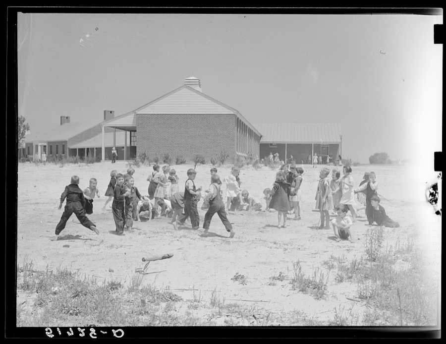
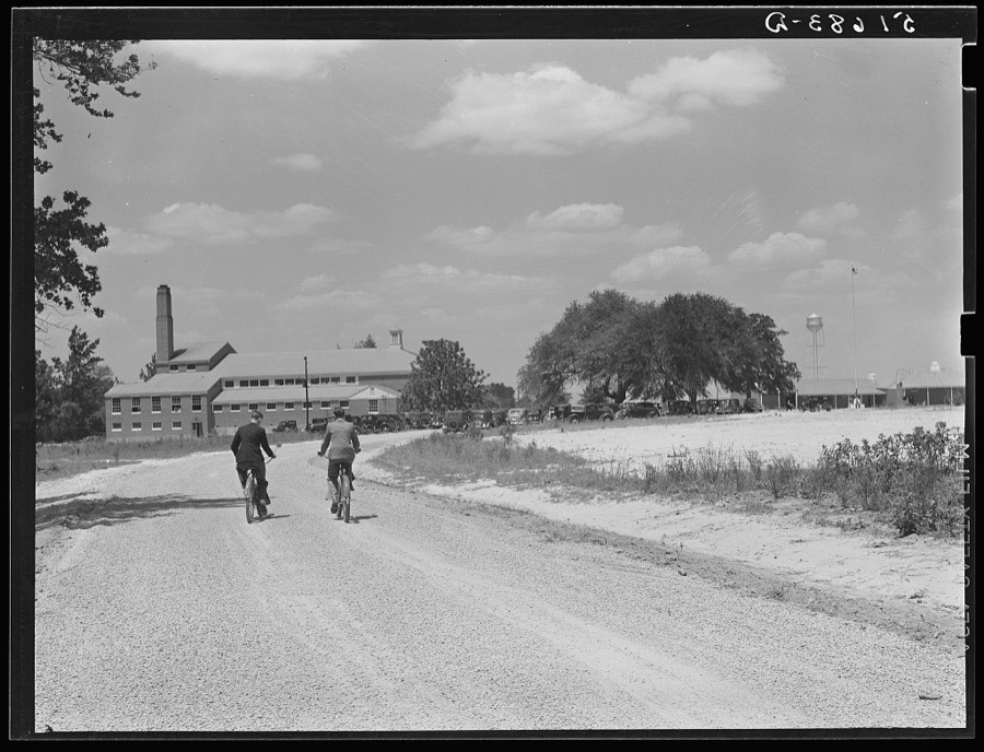
Second grade children playing near school building. Ashwood Plantations, South Carolina
Wolcott, Marion Post, 1939. Library of Congress
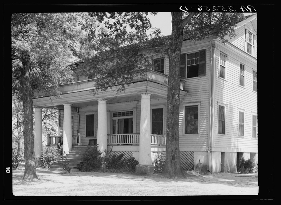
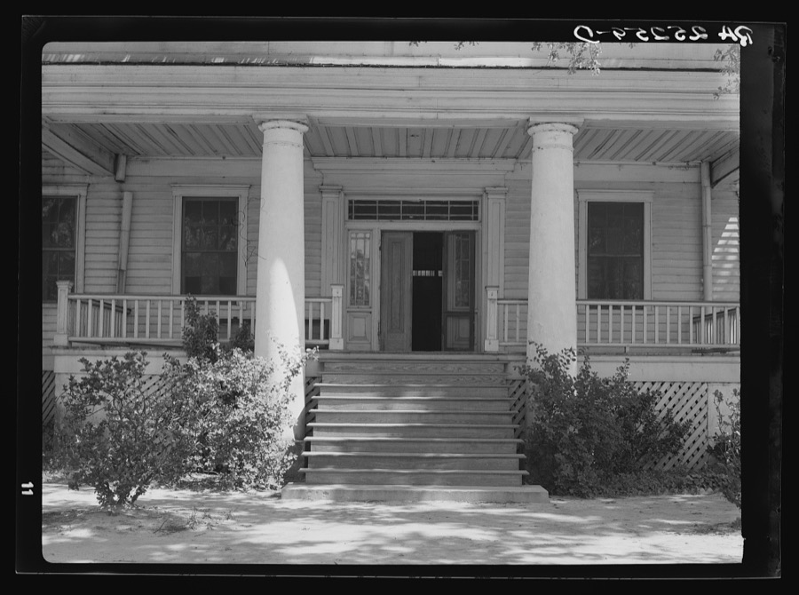
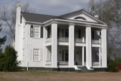
Old house at Ashwood Plantations, South Carolina
Rothstein, Arthur, 1937. Library of Congress
Sixth and seventh grades rehearsing their play "Flies," written by NYA (National Youth Administration) girls for May Day-Health Day program at Ashwood Plantations, South Carolina
Wolcott, Marion Post, 1939. Library of Congress
Dorothy Smith and Elizabeth Atkinson setting table in home economics room in school building. Ashwood Plantations, South Carolina
Wolcott, Marion Post, 1939. Library of Congress
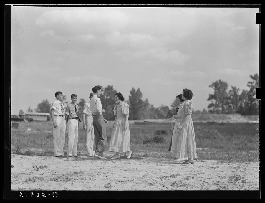
Ninth grade dancing Virginia reel at May Day-Health Day festivities. Ashwood Plantations, South Carolina
Wolcott, Marion Post, 1939. Library of Congress
Second and third grade children being made up for their Negro song and dance at May Day-Health Day festivities. Ashwood Plantations, South Carolina
Wolcott, Marion Post, 1939. Library of Congress
Sixth and seventh grades rehearsing their play "Flies," written by NYA (National Youth Administration) girls for May Day-Health Day program at Ashwood Plantations, South Carolina
Wolcott, Marion Post, 1939. Library of Congress
Old house at Ashwood Plantations, South Carolina
Rothstein, Arthur, 1937. Library of Congress
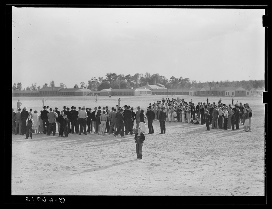
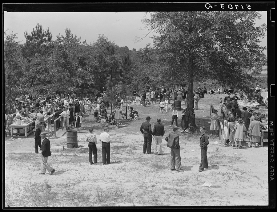
Crowd watching baseball game after May Day-Health Day festivities of Ashwood Plantations, South Carolina
Wolcott, Marion Post, 1939. Library of Congress
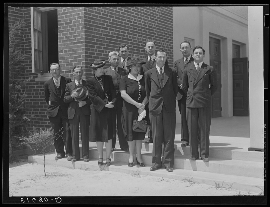
Group of speakers and guests with project manager Mr. Cathcart (at extreme left) on steps of auditorium after May Day-Health Day program at Ashwood Plantations, South Carolina
Wolcott, Marion Post, 1939. Library of Congress
Part of shop class in school with Robert Gentry, teacher, in center kneeling next to boy who is making ironing board. Ashwood Plantations, South Carolina
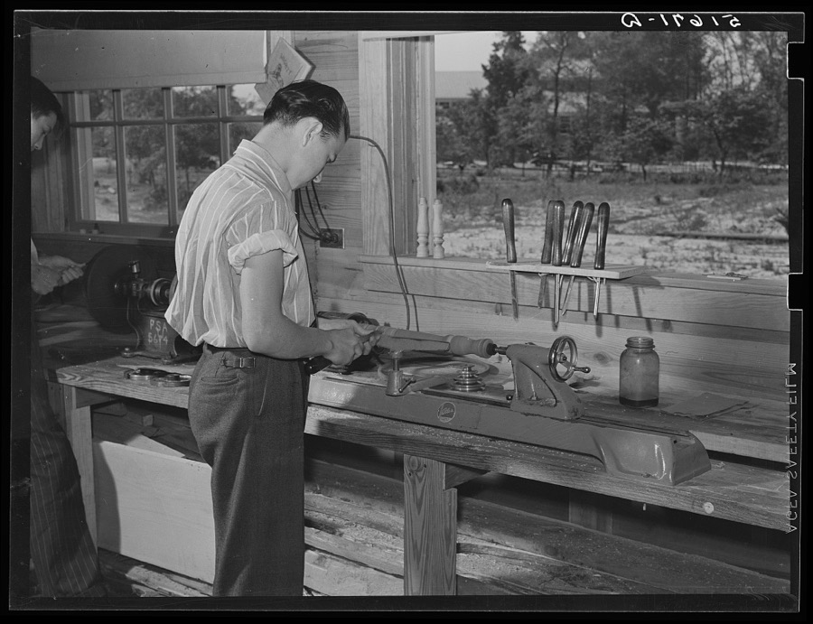
Wolcott, Marion Post, 1939. Library of Congress
Students in typing class in school. Ashwood Plantations, South Carolina
Wolcott, Marion Post, 1939. Library of Congress
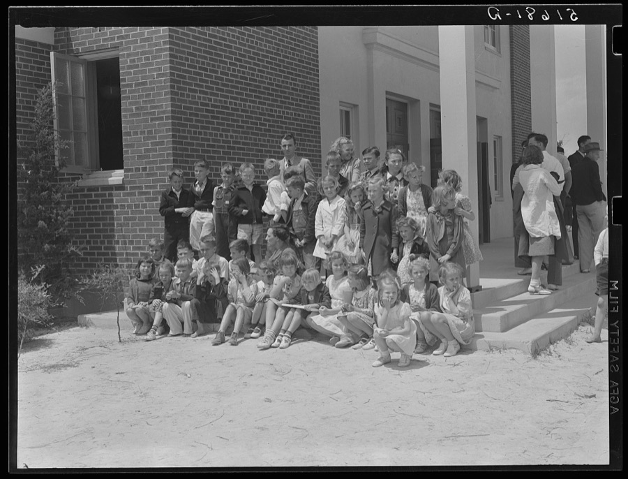
Prize-winning group of students on steps of auditorium after May Day-Health Day program at Ashwood Plantations, South Carolina
Wolcott, Marion Post, 1939. Library of Congress
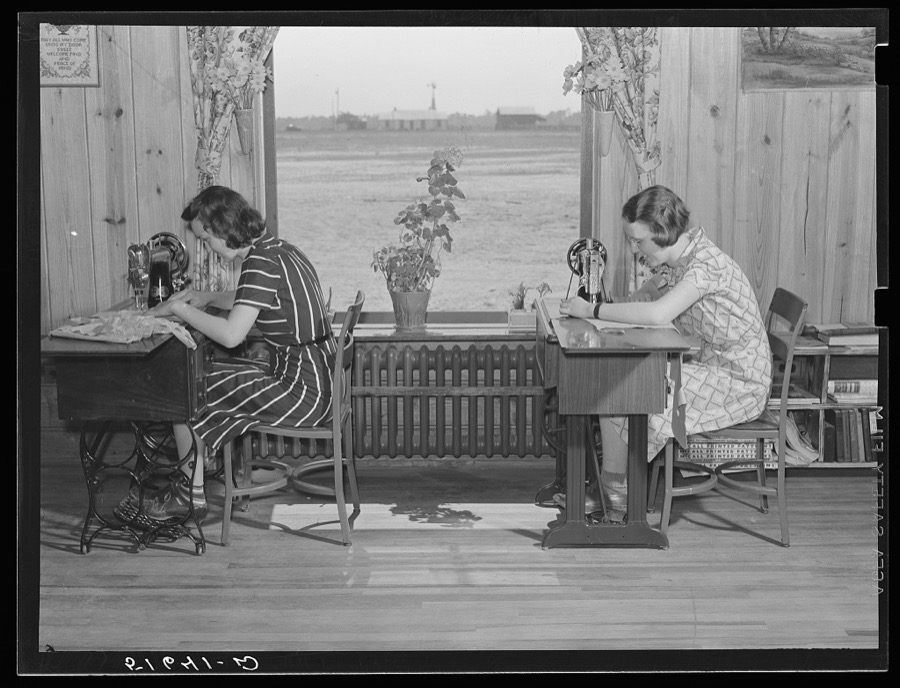
Jane McCutcheon and Ruth Lee Hear at sewing machines in home economics classroom.  School building, Ashwood Plantations, South Carolina
Jane McCutcheon and Ruth Lee Hear at sewing machines in home economics classroom. School building, Ashwood Plantations, South Carolina
Wolcott, Marion Post, 1939. Library of Congress
A scene from a play, "History of Ashwood Health Association," written and presented by tenth grade at May Day-Health Day program. Ashwood Plantations, stage of auditorium, South Carolina
Wolcott, Marion Post, 1939. Library of Congress
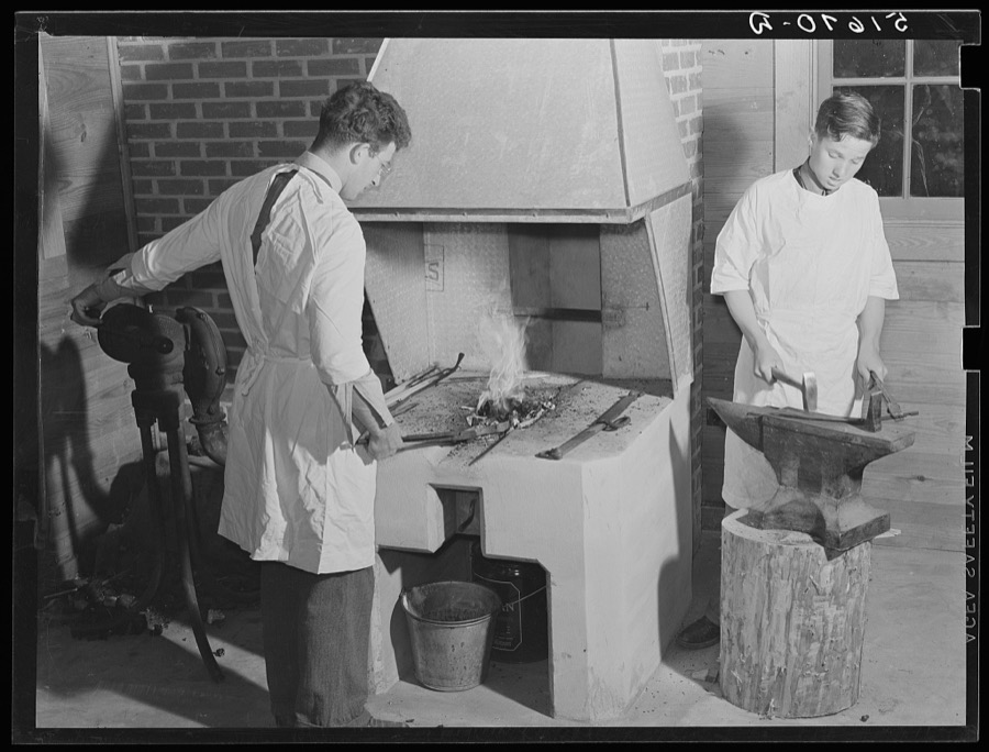
Hugh Stafford and Darwin Elmore at forge in shop at school. Ashwood Plantations, South Carolina
Wolcott, Marion Post, 1939. Library of Congress
Ninth grade dancing Virginia reel at May Day-Health Day festivities. Ashwood Plantations, South Carolina
Wolcott, Marion Post, 1939. Library of Congress
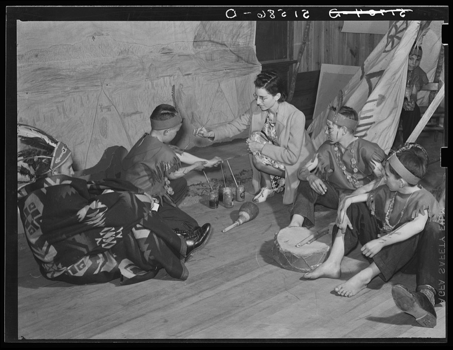
Fifty grade children being made up for play about Indians (which grew out of their regular class studies) on May Day-Health Day program. Ashwood Plantations, South Carolina
Wolcott, Marion Post, 1939. Library of Congress
Clarence Haseldon turning lathe to make table leg in shop class. Ashwood Plantations school, South Carolina
Wolcott, Marion Post, 1939. Library of Congress
Picnic lunch at May Day-Health Day festivities at Ashwood Plantations, South Carolina
Wolcott, Marion Post, 1939. Library of Congress
Going to auditorium for May Day-Health Day program at Ashwood Plantations, South Carolina
Wolcott, Marion Post, 1939. Library of Congress

Places on the National Register

18

Every property in this county listed on the National Register of Historic Places, with the year it was listed and the federal nomination document.

Photograph PropertyType ListedReference
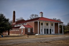
Ashwood School Gymnasium and Auditoriumbuilding201109000914
Bishopville Commercial Historic Districtdistrict198686000052
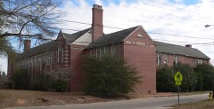
Bishopville High Schoolbuilding04001087
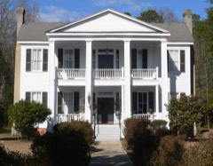
James Carnes Housebuilding198686000051
Dennis High Schoolbuilding200504001565
Thomas Fraser Housebuilding198686000050
William Apollos James Housebuilding199999000200
Lee County Courthousebuilding198181000568
Lynchburg Presbyterian Churchbuilding200404001088
Manor, Thebuilding198686000049
Mt. Zion Presbyterian Churchbuilding200303000661
Rembert Churchbuilding197575001702
William Rogers Housebuilding198686000047
South Main Historic Districtdistrict198686000048
Spencer Housebuilding198686000046
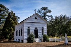
St. Philip's Episcopal Church, Bradford Springsbuilding199696000406
Tall Oaksbuilding198686000045
Tanglewood Plantationbuilding197777001229

The county from the air

36 shown

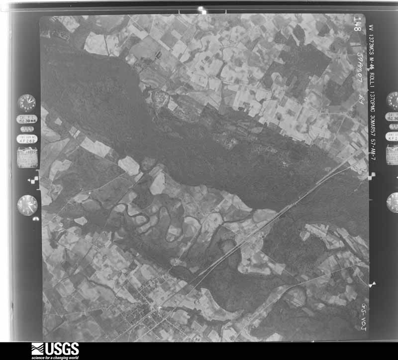
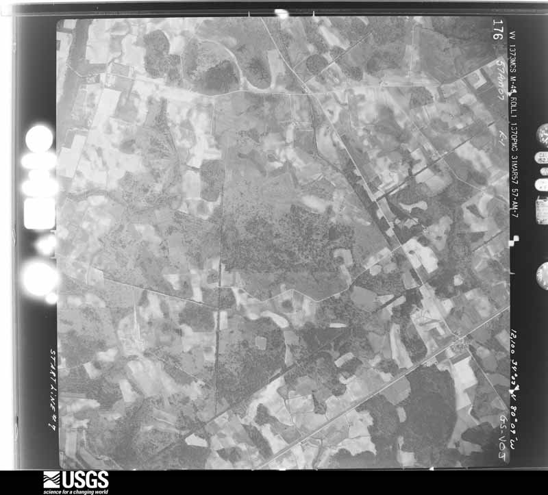
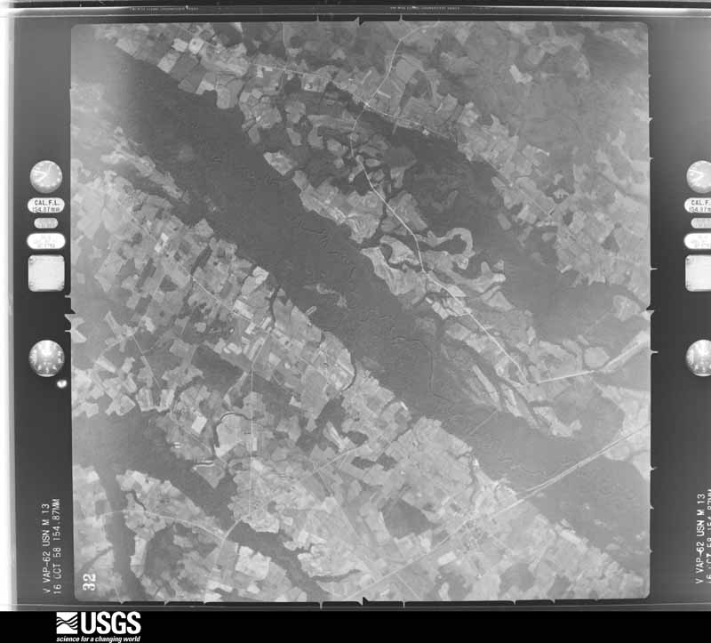
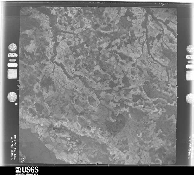
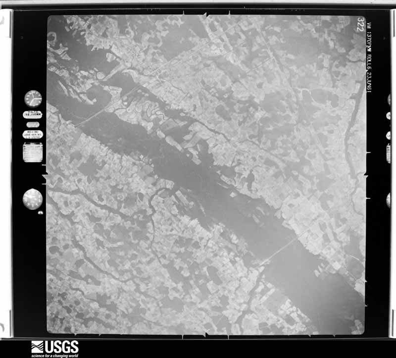
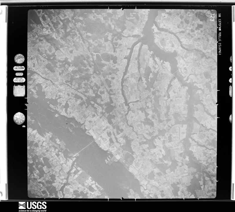
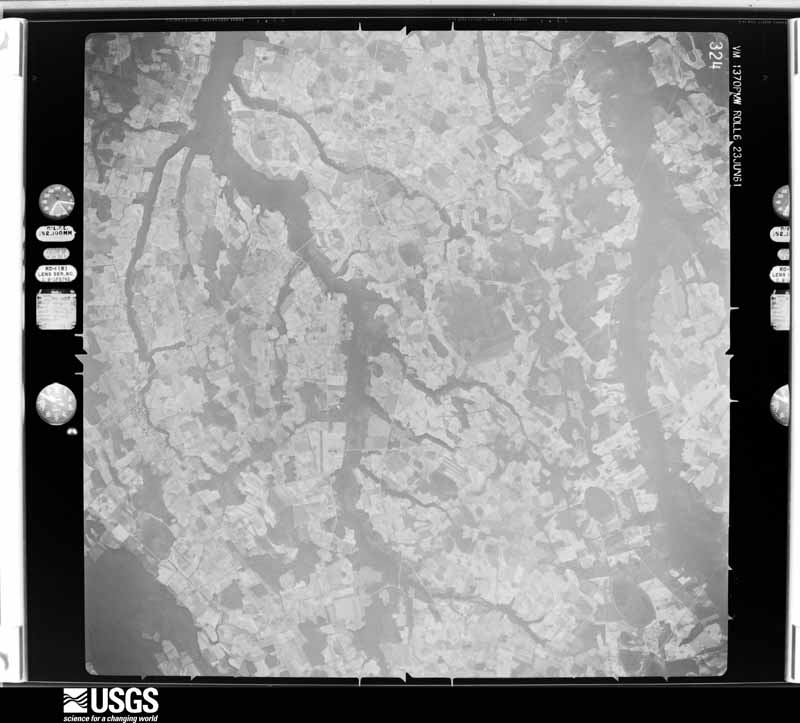
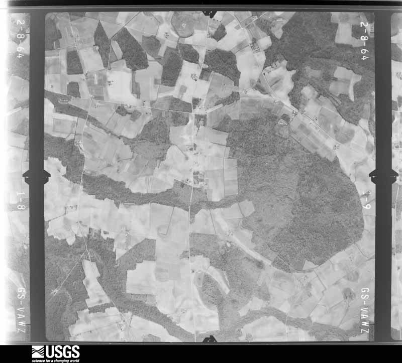
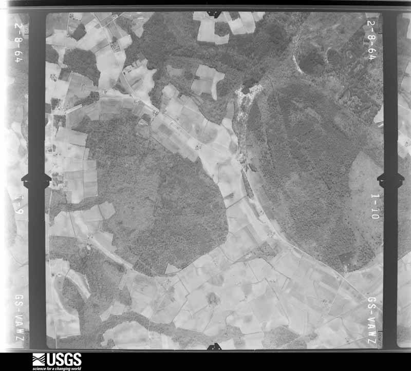
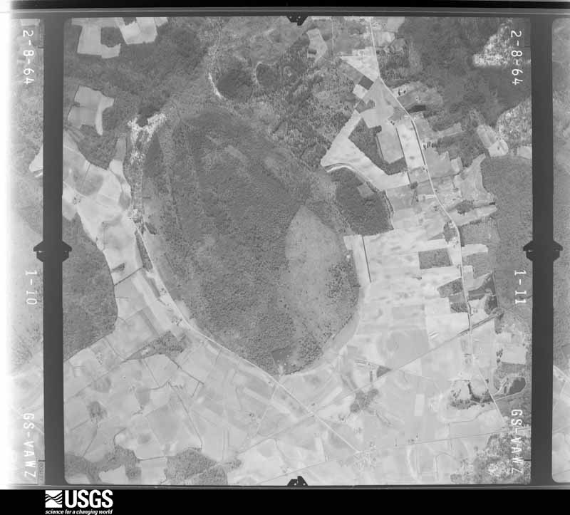
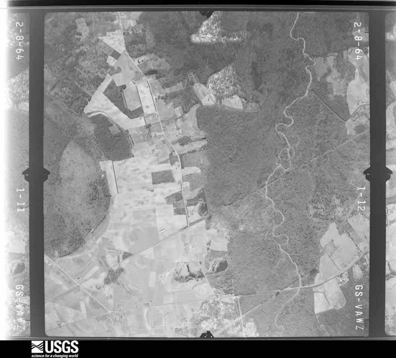
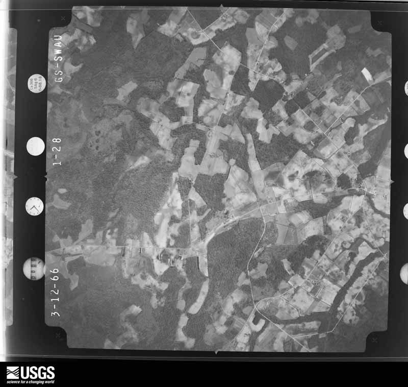
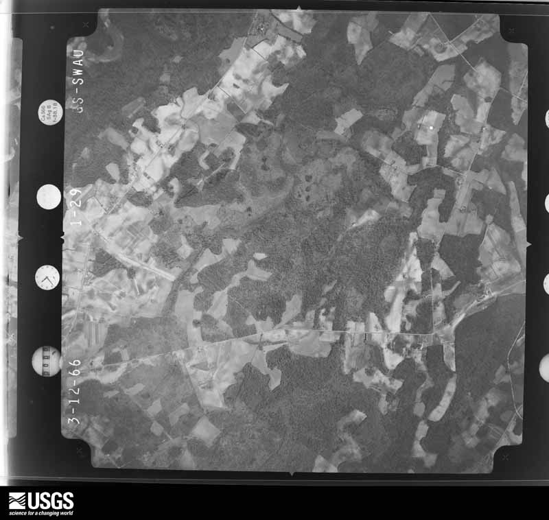
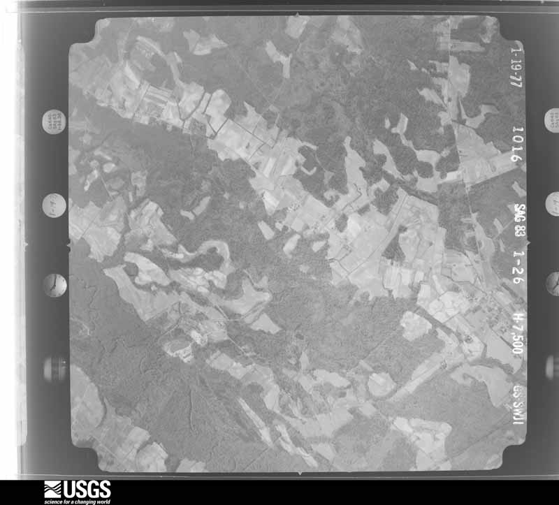
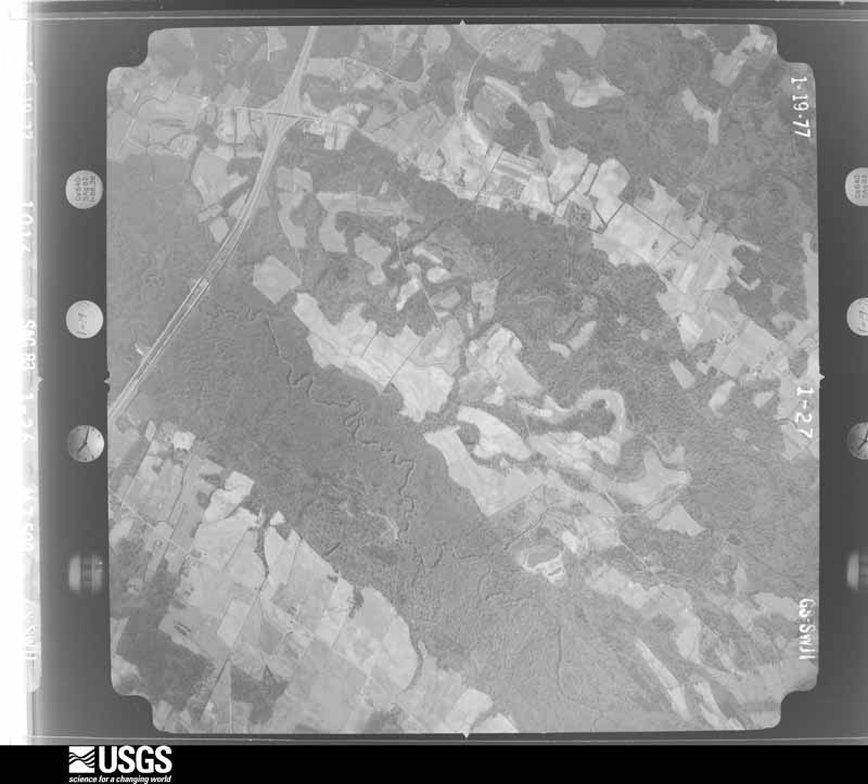
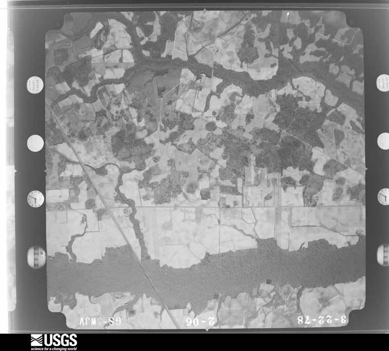
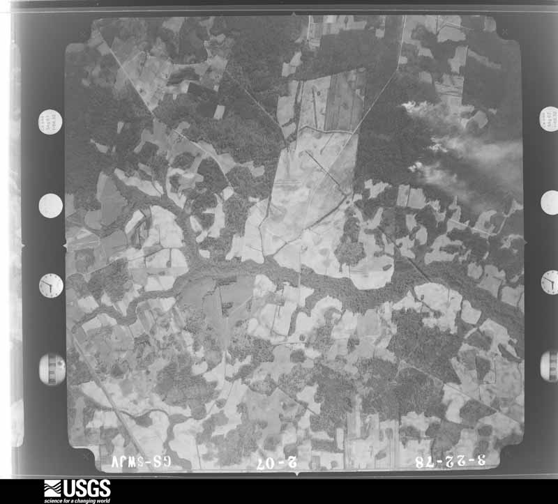
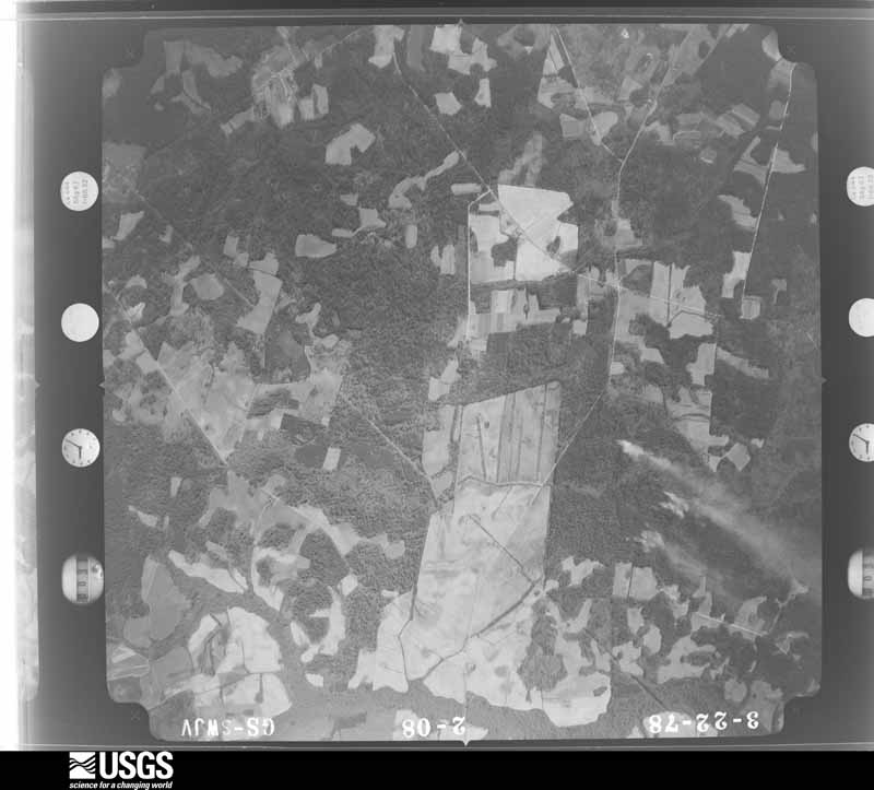
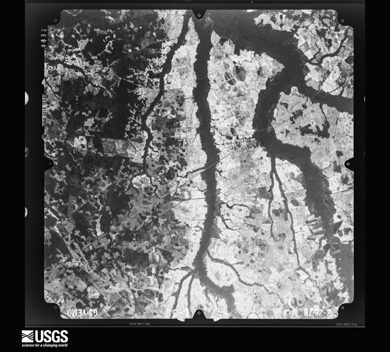
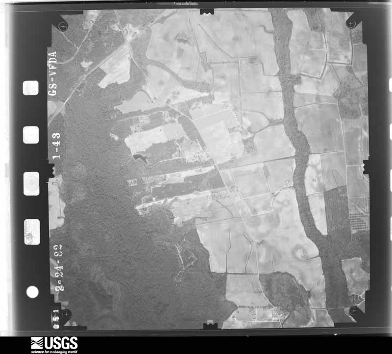
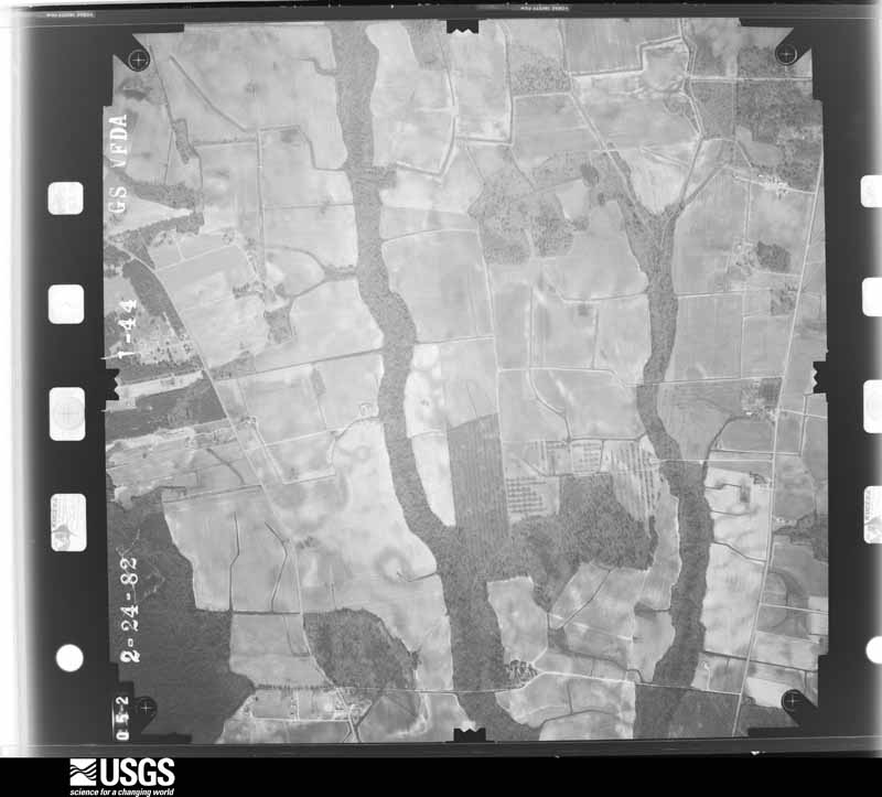
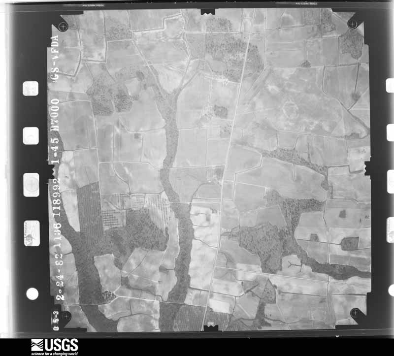
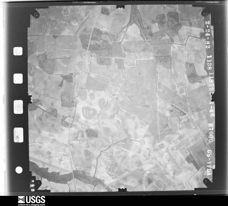
Flown by the U.S. Geological Survey between 1937 and 1989, the Aerial Photo Single Frames collection is the definitive mid-century view of the land: fields, roads and rivers as the camera saw them. The Survey holds 1,361 frames inside the rectangle that bounds this county; the 36 frames below were taken over the county itself, chosen across the decades of flights (at most four a year from that rectangle), so one flight cannot crowd out the rest. The full set is free to browse and download at EarthExplorer under the dataset Aerial Photo Single Frames.
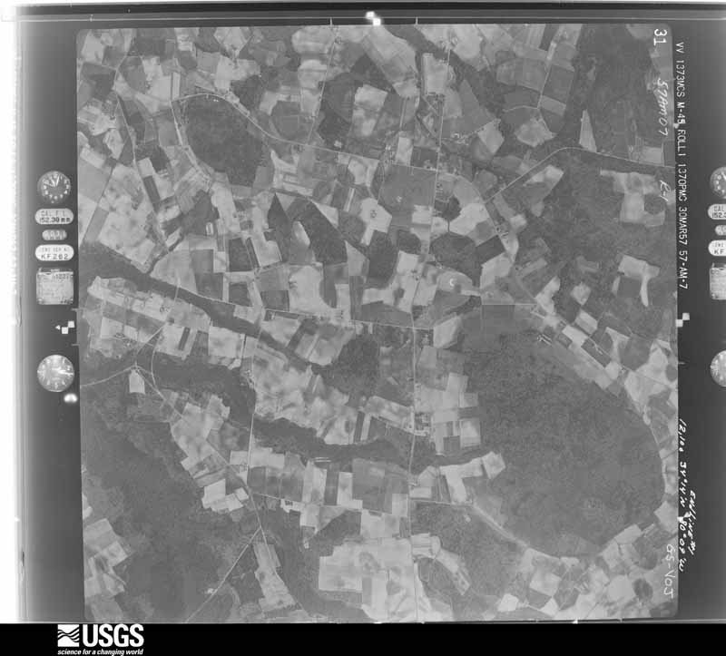
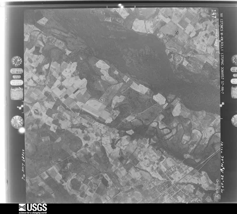
U.S. Geological Survey aerial photograph, 1957-03-30, scale 1:24000
1957-03-30, scale 1:24000. U.S. Geological Survey aerial photograph.
U.S. Geological Survey aerial photograph, 1957-03-30, scale 1:24000
1957-03-30, scale 1:24000. U.S. Geological Survey aerial photograph.
U.S. Geological Survey aerial photograph, 1957-03-30, scale 1:24000
1957-03-30, scale 1:24000. U.S. Geological Survey aerial photograph.
U.S. Geological Survey aerial photograph, 1957-03-31, scale 1:24000
1957-03-31, scale 1:24000. U.S. Geological Survey aerial photograph.
U.S. Geological Survey aerial photograph, 1958-01-01, scale 1:40000
1958-01-01, scale 1:40000. U.S. Geological Survey aerial photograph.
U.S. Geological Survey aerial photograph, 1958-01-01, scale 1:40000
1958-01-01, scale 1:40000. U.S. Geological Survey aerial photograph.
U.S. Geological Survey aerial photograph, 1961-06-23, scale 1:60000
1961-06-23, scale 1:60000. U.S. Geological Survey aerial photograph.
U.S. Geological Survey aerial photograph, 1961-06-23, scale 1:60000
1961-06-23, scale 1:60000. U.S. Geological Survey aerial photograph.
U.S. Geological Survey aerial photograph, 1961-06-23, scale 1:60000
1961-06-23, scale 1:60000. U.S. Geological Survey aerial photograph.
U.S. Geological Survey aerial photograph, 1961-06-23, scale 1:60000
1961-06-23, scale 1:60000. U.S. Geological Survey aerial photograph.
U.S. Geological Survey aerial photograph, 1964-02-08, scale 1:19000
1964-02-08, scale 1:19000. U.S. Geological Survey aerial photograph.
U.S. Geological Survey aerial photograph, 1964-02-08, scale 1:19000
1964-02-08, scale 1:19000. U.S. Geological Survey aerial photograph.
U.S. Geological Survey aerial photograph, 1964-02-08, scale 1:19000
1964-02-08, scale 1:19000. U.S. Geological Survey aerial photograph.
U.S. Geological Survey aerial photograph, 1964-02-08, scale 1:19000
1964-02-08, scale 1:19000. U.S. Geological Survey aerial photograph.
U.S. Geological Survey aerial photograph, 1966-03-12, scale 1:20500
1966-03-12, scale 1:20500. U.S. Geological Survey aerial photograph.
U.S. Geological Survey aerial photograph, 1966-03-12, scale 1:20500
1966-03-12, scale 1:20500. U.S. Geological Survey aerial photograph.
U.S. Geological Survey aerial photograph, 1966-03-12, scale 1:20500
1966-03-12, scale 1:20500. U.S. Geological Survey aerial photograph.
U.S. Geological Survey aerial photograph, 1966-03-12, scale 1:20500
1966-03-12, scale 1:20500. U.S. Geological Survey aerial photograph.
U.S. Geological Survey aerial photograph, 1972-08-19, scale 1:129000
1972-08-19, scale 1:129000. U.S. Geological Survey aerial photograph.
U.S. Geological Survey aerial photograph, 1972-08-19, scale 1:129000
1972-08-19, scale 1:129000. U.S. Geological Survey aerial photograph.
U.S. Geological Survey aerial photograph, 1972-08-19, scale 1:129000
1972-08-19, scale 1:129000. U.S. Geological Survey aerial photograph.
U.S. Geological Survey aerial photograph, 1972-09-22, scale 1:131000
1972-09-22, scale 1:131000. U.S. Geological Survey aerial photograph.
U.S. Geological Survey aerial photograph, 1976-07-21, scale 1:66000
1976-07-21, scale 1:66000. U.S. Geological Survey aerial photograph.
U.S. Geological Survey aerial photograph, 1976-07-21, scale 1:66000
1976-07-21, scale 1:66000. U.S. Geological Survey aerial photograph.
U.S. Geological Survey aerial photograph, 1976-07-21, scale 1:64000
1976-07-21, scale 1:64000. U.S. Geological Survey aerial photograph.
U.S. Geological Survey aerial photograph, 1976-07-21, scale 1:64000
1976-07-21, scale 1:64000. U.S. Geological Survey aerial photograph.
U.S. Geological Survey aerial photograph, 1977-01-01, scale 1:25700
1977-01-01, scale 1:25700. U.S. Geological Survey aerial photograph.
U.S. Geological Survey aerial photograph, 1977-01-01, scale 1:25700
1977-01-01, scale 1:25700. U.S. Geological Survey aerial photograph.
U.S. Geological Survey aerial photograph, 1978-03-01, scale 1:25700
1978-03-01, scale 1:25700. U.S. Geological Survey aerial photograph.
U.S. Geological Survey aerial photograph, 1978-03-01, scale 1:25700
1978-03-01, scale 1:25700. U.S. Geological Survey aerial photograph.
U.S. Geological Survey aerial photograph, 1978-03-01, scale 1:25700
1978-03-01, scale 1:25700. U.S. Geological Survey aerial photograph.
U.S. Geological Survey aerial photograph, 1978-03-01, scale 1:80000
1978-03-01, scale 1:80000. U.S. Geological Survey aerial photograph.
U.S. Geological Survey aerial photograph, 1982-03-01, scale 1:14000
1982-03-01, scale 1:14000. U.S. Geological Survey aerial photograph.
U.S. Geological Survey aerial photograph, 1982-03-01, scale 1:14000
1982-03-01, scale 1:14000. U.S. Geological Survey aerial photograph.
U.S. Geological Survey aerial photograph, 1982-03-01, scale 1:14000
1982-03-01, scale 1:14000. U.S. Geological Survey aerial photograph.
U.S. Geological Survey aerial photograph, 1982-03-01, scale 1:14000
1982-03-01, scale 1:14000. U.S. Geological Survey aerial photograph.

Weather records

4 stations, 2 gages

The thermometers that kept this county's weather, and the gages that measured the flow of its streams, as the federal records hold them. The extremes below are measured values from those records, not estimates.

The 1950 census, district by district

28 districts

Who lived here in 1950, one enumeration district at a time, as the Census Bureau described each district. Each row opens its official National Archives result, with Population Schedules and ED Maps available there.

  • 31-1Bishopville township: Bishopville town: Bishopville town - That part Bounded by Town limits; Town limits; S. Church; N. Main
  • 31-2Bishopville town - That part Bounded by Town limits; N. Main; N. Church; Town limits
  • 31-3Bishopville town - That part Bounded by N. Church; S. Main; Town limits; Town limits
  • 31-4Bishopville town - That part Bounded by S. Church; Town limits; Town limits; S. Main
  • 31-5Bishopville township - That part Bounded by Township line; Township line; Seaboard Air Line Railway; Bishopville town limits, U.S. Hwy. 15, State Hwy. 341, State Hwy. 344
  • 31-6Bishopville township - That part Bounded by Township line; State Hwy. 344, State Hwy. 341, U.S. Hwy. 15, Bishopville town limits; State Hwy. 34; Township line
  • 31-7Bishopville township - That part Bounded by State Hwy. 34; Bishopville town limits, U.S. Hwy. 15; State Hwy. 545; Township line
  • 31-8Bishopville township - That part Bounded by State Hwy. 545, U.S. Hwy. 15, Bishopville town limits; Seaboard Air Line Railway; Township line; Township line
  • 31-9Bishopville township - That part Bounded by Bishopville town limits, Seaboard Air Line Railway; Township line; Township line; Seaboard Air Line Railway
  • 31-10Cypress township
  • 31-11Ionia township
  • 31-12Lynchburg township: Lynchburg town
  • 31-13Lynchburg township - That part east of Elliott - Atkins Rd. and north Atlantic Coast Line Railroad, outside Lynchburg town
  • 31-14Lynchburg township - That part west of Elliott - Atkins Rd. and north of Atlantic Coast Line Railroad
  • 31-15Lynchburg township - That part south of Atlantic Coast Line Railroad and west of Thick Branch Run
  • 31-16Lynchburg township - That part south of Atlantic Coast Line Railroad and east of Thick Branch Run, outside Lynchburg town
  • 31-17Mechanicsville township
  • 31-18Mount Clio township: Mount Clio township - That part east of Atlantic Coast Line Railroad
  • 31-19Mount Clio township - That part east of Black River, and west of Atlantic Coast Line Railroad
  • 31-20Mount Clio township - That part west of Black River
  • 31-21St. Charles township: St. Charles township - That part northwest of Atlantic Coast Line Railroad
  • 31-22St. Charles township - That part southeast of Atlantic Coast Line Railroad
  • 31-23Spring Hill township: Spring Hill township - That part north of State Hwy. 443
  • 31-24Spring Hill township - That part south of State Hwy. 443 and north of State Hwy. 44
  • 31-25Spring Hill township - That part south of State Hwy. 44
  • 31-26Stokes Bridge township: Stokes Bridge township - That part north of State Hwy. 385
  • 31-27Stokes Bridge township - That part south of State Hwy. 385
  • 31-28Turkey Creek township

Wildfire, 1992 to 2020

1,713 fires

Every wildfire the federal occurrence database records inside this county: 1,713 of them, burning about 13,210 acres. 15 started naturally and 331 were recorded as arson. Each settlement page carries the fires within five miles of it.

Reported cause Fires
Debris and open burning677
Missing data/not specified/undetermined567
Arson/incendiarism331
Equipment and vehicle use67
Smoking21
Natural15
Misuse of fire by a minor12
Power generation/transmission/distribution10
Other causes7
Recreation and ceremony3
Fireworks2
Railroad operations and maintenance1

The five largest, by the area the report gives. None of them was recorded as arson.

DateCause SizeReported by Name on the report
21 April 1993Missing data/not specified/undetermined500 acresSouth Carolina Forestry Commissionnot named
18 November 2001Missing data/not specified/undetermined280 acresSouth Carolina Forestry Commissionnot named
19 April 1993Missing data/not specified/undetermined250 acresSouth Carolina Forestry Commissionnot named
19 March 1999Debris and open burning130 acresSouth Carolina Forestry Commissionnot named
12 January 1999Debris and open burning125 acresSouth Carolina Forestry Commissionnot named
12 February 2017Debris and open burning110 acresSouth Carolina Forestry Commissionnot named
10 February 1996Missing data/not specified/undetermined100 acresSouth Carolina Forestry Commissionnot named
15 April 1992Missing data/not specified/undetermined100 acresSouth Carolina Forestry Commissionnot named

Every settlement page carries the fires within five miles of it - see the settlement index below.

Storms, 1962 to 2025

60 of 237 shown

The NOAA Storm Events Database holds 237 reports for this county, causing no deaths, 10 injuries and about $478,200 in recorded property damage. Each settlement page carries the reports that name it.

Kind of event Reports
Thunderstorm Wind161
Hail61
Tornado10
Flash Flood3
Lightning1
Heavy Rain1

The most serious of them, by death, then injury, then recorded damage. The accounts are quoted exactly as the forecast office filed them.

WhenEvent Place namedHarm What the report says
October 1966Tornado (F2)not stated8 hurt, $25,000no account filed
May 1999Thunderstorm WindBishopville1 hurtNWS employee and sheriff reported trees down in and around the Bishopville area. One persone was injured when a tree fell on their car.
June 1988Thunderstorm Windnot stated1 hurtno account filed
July 2000LightningBishopville$60,000Lightning struck a tree and a home causing the home to burn to the ground.
June 2015Thunderstorm WindSpring Hill$30,000Public reported shingles blown off a roof and two porches with roofs blown off along Jamestown Road.
June 1995HailStokes Bridge area$30,000Hail destroyed several fields of tobacco, cotton and other crops.
May 1980Tornado (F0)not stated$25,000no account filed
February 1962Tornado (F1)not stated$25,000no account filed
April 2011HailBishopville Muni Arp$20,000EM reported golfball size hail covering the ground at Hwy 15 and and the Lynches River Bridge.
June 2015Thunderstorm WindAlcot$18,000Dispatch reported trees and powerlines down countywide.
June 2012Thunderstorm WindWisacky$18,000EM reported a large oak tree fell on a vacant house causing minor structural damage. Several other trees were down on the property.
June 2009Thunderstorm WindLucknow$15,000Emergency Manager reported numerous trees and powerlines down around the county including the areas of Lucknow, Woodroe, Bishopville, and Lynchburg.
July 2015Thunderstorm WindStokes Bridge$14,000EM reported a couple of trees down on Hebron Church Road and Una Road, two of which fell on some out buildings and a car port.
August 2012Thunderstorm WindWoodroe$14,000A farmer reported a microburst bent and twisted rebar, blew a cotton wagon over, and moved a portable barn a few inches off the foundation in Woodrow, SC. Path of the damage was about 100 yds long.
July 2010Tornado (EF0)Woodroe$12,000NWS and EM found tornado damage to trees and powerlines as a weak EF0 intermittently touched down along its path.
July 2010Thunderstorm WindAshwood$10,000EM reported numerous trees down and minor damage to a roof and other out buildings from Red Hill road and Hwy 441 to Green Lane, Williamson Road, Rambert Church Road, and US 15. The downburst wind damage was widespread and lasted eight minutes with a relatively slow moving thunderstorm that also produced a weak EF0 tornado just west of the downburst area.
May 1995HailNorth part$10,000no account filed
April 2011Thunderstorm WindBishopville$8,000Sheriff reported trees down on Kelly Bridge Road in Bishopville.
May 2009Thunderstorm WindElliott$8,000County paper reported there were trees and powerlinds down in the Lynchburg and Elliott areas.
September 1999Thunderstorm WindCountywide$8,000EPD reported scattered trees and powerlines down. 8K in damage was down to residential areas.
June 2011Thunderstorm WindBishopville$7,000Sheriff reported several trees and powerlines down in the Bishopville area.
January 2013Thunderstorm WindSpring Hill$6,000DOT reported several trees down along Rembert Church Road.
January 2013Thunderstorm WindAshland$6,000Trees down on Ashland-Stokes Bridge Highway near the Darlington and Lee County line.
July 2012Thunderstorm WindBishopville$6,000Sheriff reported powerlines down in Bishopville.
April 2011Thunderstorm WindBishopville Muni Arp$6,000Sheriff reported powerlines down and traffic lights out near Bishopville.
July 2010Thunderstorm WindBishopville$6,000EM reported several trees down just west of Bishopville on Hwy 34.
June 2012Thunderstorm WindAshland$5,000Public reported large limbs and powerlines down just southwest of Ashland. Power was still out at the time of the call. Dime to nickel size hail was also reported.
April 2007Tornado (EF1)St Charles$5,000An EF1 tornado took down numerous trees, a few powerlines, did minor damage to Mt. Pleasant AME church at the intersection of Vista Lane and Wells Church road, and did minor damage to a mobile home.
May 2003Thunderstorm WindAshland$5,000Newspaper reported a large metal sign and iron supports fell on a car.
August 2015Thunderstorm WindAshwood$4,000DOT reported a few trees and large limbs down on Hawkins and Holman roads.
June 2015Thunderstorm WindHeriot$4,000Public reported winds estimated from 60 to 70mph. The strong winds blew lawn furniture and other backyard objects into the woods behind the house.
March 2012Thunderstorm WindLucknow$4,000Dispatch reported trees down on Lee State Park road North Northwest of Bishopville.
May 2011Thunderstorm WindAshwood$4,000Sheriff reported trees down on Racoon road between Manville and St Charles.
June 2010Thunderstorm WindBishopville$4,000Sheriff reported trees down on St. Charles road.
July 2010Thunderstorm WindSpring Hill$4,000Public reported trees down along I-20 near Exit 108.
July 2009Thunderstorm WindLucknow$4,000Black River Electric Coop reported trees and powerlines down McGee Town road.
July 2009Thunderstorm WindSpring Hill$4,000Black River Electric Coop reported trees and powerlines down on Church Camp road.
July 2009Thunderstorm WindBishopville$4,000County official reported trees and powerlines down on Sandy Grove Church road east of Bishopville.
June 2009Thunderstorm WindBishopville$4,000DOT reported several trees down and a large highway sign from the intersection of Hwy 15 and I-20 to just south of Bishopville.
April 2013Thunderstorm WindStokes Bridge$3,000Sheriff reported multiple trees down along High Point Road.
July 2011Thunderstorm WindLucknow$3,000Highway Patrol reported trees down at Lucknow road and Dee Lee Way.
May 2011Thunderstorm WindBishopville$3,000Sheriff reported trees down on the southe side of Bishopville.
July 2009Thunderstorm WindLucknow$3,000Fountains Grocery store reported trees down on hwy 341.
May 1973Tornado (F1)not stated$2,500no account filed
September 2020Flash FloodBishopville$2,000Roads were flooded and impassable in the city of Bishopville, including S Heyward St, S Calhoun St, and along Main St. 2 to 4 inches of water entered a duplex on S. Heyward St. Times estimated.
June 2015Thunderstorm WindBishopville$2,000Sheriff reported a couple of trees and powerlines down on St. Charles Road South of Bishopville.
February 2012Thunderstorm WindBishopville$2,000Highway Patrol reported a couple of trees down around Bishopville on Shadygrove Church and Cypress roads.
June 2011Thunderstorm WindBishopville$2,000Sheriff reported a few trees down on St. Charles Highway.
June 2011Thunderstorm WindBishopville$2,000Sheriff reported several trees down on Woodrow Road.
May 2011Thunderstorm WindSpring Hill$2,000Sheriff reported trees down on Spring Hill road.
May 2011Thunderstorm WindManville$2,000Sheriff reported trees down on Elmore road.
June 2009Thunderstorm WindManville$2,000Couple of trees down at the public golf course.
March 1996Thunderstorm WindBishopville$2,000no account filed
June 2010Thunderstorm WindLynchburg$1,000Public reported large limbs down in Pleasant Grove.
January 1995Thunderstorm WindSpringhill Road$1,000Trees down by thunderstorm winds.
July 1995Thunderstorm WindWoodrow$1,000Large limbs down.
September 2015Thunderstorm WindLynchburg$500Dispatch reported a tree down on Lynchburg Highway.
February 2024HailBishopville$100Public report of pea size hail in Bishopville.
May 2019HailLucknow$100Public reported pea size hail via social media. Time estimated.
February 2025Thunderstorm WindBishopville-Lee County dispatch reported downed trees in Bishopville.

Mines and quarries

3 recorded

The Survey's mineral resources record lists 3 workings inside this county. 1 still produces and 2 are closed or unrecorded. Each settlement page carries the workings within five miles of it.

Commodity Workings
Sand and Gravel, Construction3

The least common of them first, because a county's hundredth gravel pit says nothing its first ten did not.

Where SiteCommodity StatusRecorded
Lee PitSand and Gravel, ConstructionPast Producer
Rhinehart No. 1 MineSand and Gravel, ConstructionProducer
Smith Paving Co MineSand and Gravel, ConstructionPast ProducerSedimentary

Every populated place in the county

35

Named settlements recorded in the Geographic Names Information System, each with the topographic sheets covering it. Villages, hamlets and abandoned places alike. Each is shown with the nearest named watercourse or landform and the survey quadrangle it falls on. The 1 place that was also surveyed for fire insurance comes first, with the number of atlases and photographs held for them.

The vanished settlements of Lee County: the places named above that are no longer on the map.

Recorded here

Bishopville, South Carolina

15 topographic sheets and 5 fire insurance atlases, 1909 to 1940

Provenance

  • Topographic sheets. USGS Historical Topographic Map Collection, county index, measured from the bulk metadata.
  • Fire insurance maps. Library of Congress Sanborn collection, faceted to this county.
  • Photographs. Each place queried individually against the Library of Congress Prints and Photographs search.
  • Wildfire. Short, Karen C. 2022. Spatial wildfire occurrence data for the United States, 1992-2020 [FPA_FOD_20221014]. 6th Edition. Fort Collins, CO: Forest Service Research Data Archive. https://doi.org/10.2737/RDS-2013-0009.6 Collected with United States Government funding and usable without additional permissions or fees.
  • Mines and quarries. USGS Mineral Resources Data System (MRDS) https://mrdata.usgs.gov/mrds/ A work of the United States government, no copyright under 17 U.S.C. 105.
  • Storms. NOAA National Centers for Environmental Information, Storm Events Database https://www.ncei.noaa.gov/stormevents/ A work of the United States government, no copyright under 17 U.S.C. 105. Narratives are quoted verbatim from the National Weather Service report and are not edited or summarised.