 Block
From the record
16 National Register listings published here.
Sources: the county history on the Internet Archive · the National Register database, National Park Service
41 topographic sheets and 16 fire insurance atlases across 2 places.
16 National Register listings published here.
Sources: the county history on the Internet Archive · the National Register database, National Park Service
Taken for the Office of War Information and the Farm Security Administration, who photographed the country between 1935 and 1944. Works of United States government photographers, with no known restriction on use. Each opens its catalogue record.
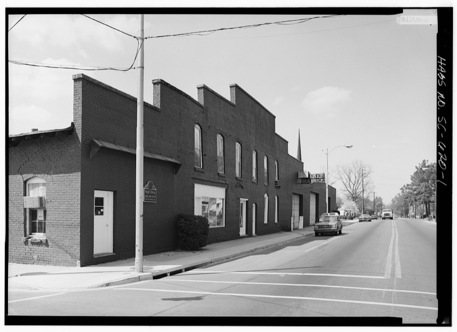
Every property in this county listed on the National Register of Historic Places, with the year it was listed and the federal nomination document.
| Photograph | Property | Type | Listed | Reference |
|---|---|---|---|---|
 | A. H. Buchan Company Building | building | 1984 | 84003817 |
| Dew Barn | building | 1984 | 84003818 | |
 | Dillard Barn | building | 2005 | 05001101 |
 | Imperial Tobacco Company Building | building | 1984 | 84003820 |
 | Liberty Warehouse | building | 1984 | 84003821 |
 | Marion High School | building | 2001 | 01000631 |
 | Marion Historic District | district | 1973 | 73001720 |
| Marion Historic District (Boundary Increase) | district | 1979 | 79003320 | |
 | Mt. Olive Baptist Church | building | 2000 | 00000695 |
 | Mullins Commercial Historic District | district | 2003 | 03000662 |
 | Neal and Dixon's Warehouse | building | 1984 | 84003822 |
| Old Brick Warehouse | building | 84003828 | ||
| Old Ebenezer Church | building | 1973 | 73001719 | |
 | Rasor and Clardy Company Building | building | 1982 | 82001522 |
| Richardson-Godbold House | building | 2018 | 100002599 | |
 | J.C. Teasley House | building | 01000609 |
Drawn when these were printed as single large sheets: the town seen from the air, and the county divided into its farms with every owner named. Each opens the original at the Library of Congress.

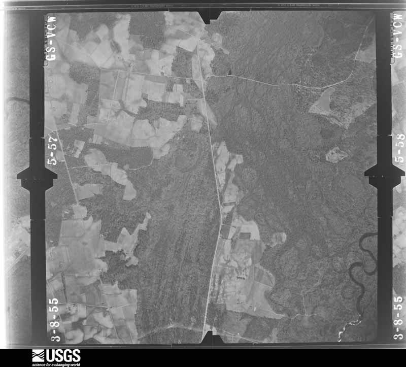
Flown by the U.S. Geological Survey between 1937 and 1989, the Aerial Photo Single Frames collection is the definitive mid-century view of the land: fields, roads and rivers as the camera saw them. The Survey holds 1,408 frames inside the rectangle that bounds this county; the 48 frames below were taken over the county itself, chosen across the decades of flights (at most four a year from that rectangle), so one flight cannot crowd out the rest. The full set is free to browse and download at EarthExplorer under the dataset Aerial Photo Single Frames.








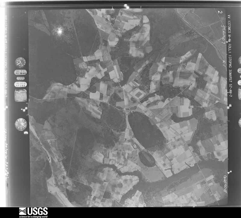

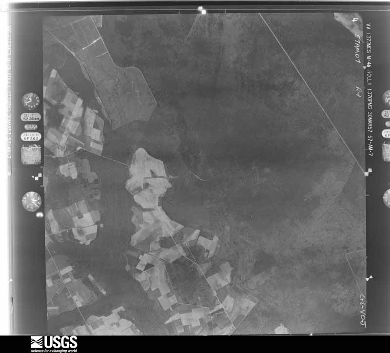



































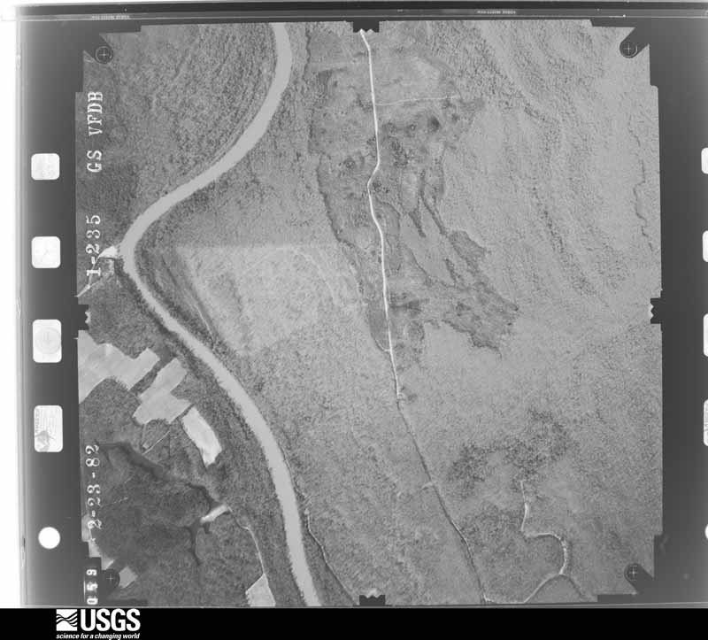
The thermometers that kept this county's weather, and the gages that measured the flow of its streams, as the federal records hold them. The extremes below are measured values from those records, not estimates.
Who lived here in 1950, one enumeration district at a time, as the Census Bureau described each district. Each row opens its official National Archives result, with Population Schedules and ED Maps available there.
Every wildfire the federal occurrence database records inside this county: 853 of them, burning about 4,730 acres. 28 started naturally and 172 were recorded as arson. Each settlement page carries the fires within five miles of it.
| Reported cause | Fires |
|---|---|
| Missing data/not specified/undetermined | 283 |
| Debris and open burning | 275 |
| Arson/incendiarism | 172 |
| Equipment and vehicle use | 41 |
| Natural | 28 |
| Misuse of fire by a minor | 19 |
| Smoking | 12 |
| Railroad operations and maintenance | 12 |
| Fireworks | 4 |
| Power generation/transmission/distribution | 4 |
| Recreation and ceremony | 2 |
| Other causes | 1 |
The five largest, by the area the report gives. None of them was recorded as arson.
| Date | Cause | Size | Reported by | Name on the report |
|---|---|---|---|---|
| 19 February 2002 | Debris and open burning | 493 acres | South Carolina Forestry Commission | not named |
| 29 July 2019 | Equipment and vehicle use | 380 acres | South Carolina Forestry Commission | SCRAP FIRE |
| 19 March 2008 | Equipment and vehicle use | 120 acres | South Carolina Forestry Commission | RED MTN TIMBER |
| 13 March 2012 | Debris and open burning | 100 acres | South Carolina Forestry Commission | not named |
| 1 April 2006 | Debris and open burning | 95 acres | South Carolina Forestry Commission | not named |
| 9 May 2014 | Missing data/not specified/undetermined | 90 acres | South Carolina Forestry Commission | not named |
| 4 February 2002 | Debris and open burning | 90 acres | South Carolina Forestry Commission | not named |
| 7 July 2002 | Natural | 80 acres | South Carolina Forestry Commission | not named |
Every settlement page carries the fires within five miles of it - see the settlement index below.
The NOAA Storm Events Database holds 320 reports for this county, causing no deaths, 24 injuries and about $7,287,750 in recorded property damage. Each settlement page carries the reports that name it.
| Kind of event | Reports |
|---|---|
| Thunderstorm Wind | 194 |
| Hail | 76 |
| Flash Flood | 23 |
| Tornado | 12 |
| Flood | 9 |
| Lightning | 6 |
The most serious of them, by death, then injury, then recorded damage. The accounts are quoted exactly as the forecast office filed them.
| When | Event | Place named | Harm | What the report says |
|---|---|---|---|---|
| June 1982 | Tornado (F2) | not stated | 16 hurt, $2,500,000 | no account filed |
| June 2001 | Thunderstorm Wind | Marion | 2 hurt, $10,000 | Law enforcement reported a large tree fell on a car, injuring two people. Quarter size hail and trees on power lines were also reported. |
| November 1995 | Tornado (F4) | Penderboro | 1 hurt, $800,000 | One mobile home destroyed, Pleasant Grove Baptist Church badly damaged and the sanctuary leveled. Church bell found 400 yards east. A house suffered major roof damage. |
| June 1961 | Tornado (F2) | not stated | 1 hurt, $250,000 | no account filed |
| February 1962 | Tornado (F2) | not stated | 1 hurt, $25,000 | no account filed |
| July 2004 | Lightning | Mullins | 1 hurt | A 21 year old woman was struck by lightning while on her front porch. She was taken to the hospital. The extent of her injuries is unknown. |
| July 1999 | Lightning | Sellers | 1 hurt | A farm worker was struck by lightning while in a field, was hospitalized in critical condition. |
| June 1994 | Thunderstorm Wind | not stated | 1 hurt | Scattered thunderstorms, some locally severe, developed during the afternoon in the lower piedmont, central and east-central South Carolina. Most of the damage was confined to trees blown down and electrical power disruptions. |
| October 2016 | Flash Flood | Galivants Ferry | $1,000,000 | Roadways were reported flooded in Sellers. Homes, cars and other structures were inundated by flood waters. The town hall was also impacted by the flood waters. The report was relayed via the South Carolina Emergency Management. |
| July 2004 | Lightning | Centenary | $400,000 | Lightning struck a church, resulting in a fire that completely destroyed it. |
| April 2011 | Lightning | Rains | $300,000 | Lightning struck the Centenary Baptist Church. It burned to the ground. |
| October 2016 | Flash Flood | Marion Co Arpt | $250,000 | Significant flooding was reported along portions of Drew Road. Adjacent structures were also impacted by the flood waters. |
| May 2024 | Tornado (EF1) | Marion | $200,000 | Storm survey of damage in the Marion, SC area indicated that a |tornado touched down briefly on Tuesday May 14, 2024 between 6:10 |PM EDT and was on the ground until 6:13 PM EDT before ending north|of Luther Rogers Road. ||The tornado formed near the intersection of Baker Street and |Baptist Street in southeast Marion, SC. Large limbs were down |across nearby roadways and minor roof damage was observed near |this location. The tornado continued northeast and created some |damage near Mullins Street and Withlacoochee Street. Damage here |remained rated at EF-0 (approximately 70 mph). Power lines were |wrapped around tree limbs and an electrical meter head had been |detached from the side of the house. A large tree fell near the |intersection and damaged a small fence. Additional minor roof |damage to surrounding homes was observed. Large downed tree limbs |were observed along McEachern Heights Street, 2nd Avenue, and in |Amazing Grace Park.||The most significant damage occurred in downtown Marion along |Main Street. A roof completely collapsed near the city center with|limited damage to the exterior walls. Across the street, windows |and window dividers were completely blown out. A wall on the |second floor was pushed inward and its attached window and window |seals were missing. An adjacent building lost a large portion of |roof covering which fell to the street below. All debris was |scattered in multiple directions.||The tornado continued toward the northeast and snapped tree tops |near the intersection of Fairlee Street and Wheeler Street. |Portions of roof coverings were missing from a few homes and |businesses. Damage here was not as significant as on Main Street. |Additional damage was not observed for one mile indicating the |tornado was likely making contact with the ground intermittently. |Along Luther Rogers Road, a trampoline that had previously been |secured with large metal stakes was lofted into the side of a |neighbors home two homes to the east. As the trampoline was |lofted, it made contact with siding and solar panels of the |adjacent neighbor before hitting the side and penetrating the |vinyl siding of the neighbor two homes east. ||The majority of the damage was rated at EF-0 and 70 mph, but |significant damage downtown indicated peak intensity as described |above. There was a lack of significant tree damage typically seen |with tornadoes which may indicate that the tornado did not contact|the ground for a long period of time. It is worth noting all |buildings on Main Street that observed significant damage were two|to three story masonry buildings. |
| October 2016 | Flash Flood | Gapway | $200,000 | Significant flooding was reported along Highway 917, near the Horry County line. Adjacent roadways and structures were impacted by the flood waters. |
| June 2021 | Tornado (EF1) | North Mullins | $150,000 | The tornado formed near Old Nichols Highway northeast of Mullins,|SC. The tornado generally moved northeast and caused significant|tree damage toward the end of Ironwood Rd. It also destroyed a|small storage building and caused minor damage to 4 single wide|homes near the intersection of Gilcrist and Ironwood Rds. The|tornado moved across Gilchrist Rd and crossed an adjacent corn |field. The tornado then caused some additional tree damage along |Sugar Shack Place prior to lifting before reaching the Little Pee |Dee River. |
| October 2016 | Flash Flood | Nichols | $150,000 | A portion of Kemper Road was washed out. Adjacent roadways were also impacted by the flood waters. |
| July 2012 | Thunderstorm Wind | Mullins | $150,000 | The top 300 ft. of a 500 ft. cable tower collapsed at the intersection of South Cypress Street and Highway 76. |
| October 1995 | Tornado (F1) | Marion | $100,000 | A tornado touched down in west Marion in the Pine Lake area, moved through English Park area to U.S. Highway 501. Downed trees caused additional property damage and downed power lines. No injuries. |
| September 2018 | Flash Flood | Nichols | $50,000 | Kemper Rd between sc-9 and s-321 closed due to road washout. Steele Rd from s-321 to s-60 was also washed out. |
| August 2007 | Thunderstorm Wind | Marion | $50,000 | A thunderstorm downburst produced damage along a path 2 miles long and up to a half mile wide. Damage was more destuctive along a 100 foot path. Several trees up to 2 feet in diameter were snapped 12 to 20 feet above the ground. A line of four power poles were leaning one way and trees snapped the other way. Ten stuctures sustained minor damage to include roof shingles and mobile home underpinnings. One tree fell onto a house and brick pillars on the porch were knocked down. |
| May 2003 | Thunderstorm Wind | Mullins | $50,000 | Strong winds caused damage to the metal roof of a warehouse. There were reports of damage to buildings and some of the debris was blocking the street on Rt 76 and Park Street. Trees were also reported down on Hwy 41. No tornado was confirmed. |
| September 2018 | Flash Flood | Marion | $40,000 | Flash flooding occurred in streets and businesses along US-76 near Metal Street. |
| January 2024 | Thunderstorm Wind | Marion | $35,000 | Multiple large trees down on homes and blocking roadways in and near the 900 block of Jones Avenue/NC-41. In addition, a large brick wall in main street commons in downtown Marion separated from a building and collapsed. |
| September 2004 | Tornado (F1) | Peedee | $25,000 | A tornado damaged two homes, and downed trees, powerlines, and sheds. |
| June 2017 | Thunderstorm Wind | Mullins | $20,000 | The tops of several trees were observed snapped. Damage to a store and to a mobile home park was also observed. |
| July 2014 | Thunderstorm Wind | Nichols | $20,000 | A team from the National Weather Service conducted a survey and found a damage path from the intersection of Winnie Road and Old Nichols Highway to near the intersection of Taylor Road and Pace Road. Numerous large tree limbs were blown out to include the tops of two large pine trees. Two large hardwood trees were also uprooted. A few pieces of metal roofing were blown off a horse barn and deposited 100 yards away. Minor shingle and siding damage was also observed at two residences. The path length was about three-quarters of a mile and the maximum path width was 350 yards. The damage pattern was consistent with straight line winds up to 75 mph. Time of event was estimated based on radar data. |
| June 2009 | Thunderstorm Wind | Mullins | $20,000 | Numerous trees were reported down. Several hundred people were reportedly without power. |
| June 2009 | Thunderstorm Wind | West Marion | $20,000 | Numerous trees were reported down across town. Reports were relayed through Marion County 911 Center. |
| August 2007 | Thunderstorm Wind | Marion | $20,000 | A large tree fell, severely damaging a vehicle. Tree caused minor damage to the exterior of a home on Henry Street, cracking a window and separating the electrical meter from the wall. Nickel size hail also fell. |
| May 2003 | Thunderstorm Wind | Mullins | $20,000 | A ham radio operator reported a roof was blown off a warehouse. |
| June 1998 | Thunderstorm Wind | Centenary | $20,000 | no account filed |
| November 2011 | Lightning | Marion | $15,000 | Lightning started a house fire on Grassy Court Road. |
| February 2003 | Thunderstorm Wind | Marion | $15,000 | Ham radio operator reported trees down on two vehicles. |
| July 1999 | Thunderstorm Wind | Marion | $15,000 | Large trees were downed onto power lines. |
| June 2019 | Thunderstorm Wind | Mullins | $10,000 | Several trees were blown down. A roof was damaged. |
| September 2018 | Flash Flood | Marion | $10,000 | US 501 closed due to dam overflow at Reedy Creek. |
| June 2015 | Thunderstorm Wind | Marion | $10,000 | Numerous trees were reported down across the city of Marion. The time was estimated based on radar data. |
| October 2015 | Flash Flood | Sellers | $10,000 | Flooding was reported on Highway 38 near U.S. 501. |
| October 2015 | Flash Flood | Ariel Xrds | $10,000 | Portions of U.S. 501 were flooded south of Marion. |
| October 2015 | Flash Flood | Rains | $10,000 | A portion of U.S. 501 south of downtown Marion was closed due to flooding. |
| October 2015 | Flash Flood | Marion | $10,000 | Significant flooding in downtown Marion to include Northside Avenue, Godbold Street and Wheeler Street. |
| October 2015 | Flash Flood | Rains | $10,000 | Water was reportedly flowing across Cattle Farm Road. |
| October 2015 | Flash Flood | Marion | $10,000 | Significant flooding was reported on Old Conway Road. |
| July 2012 | Thunderstorm Wind | North Mullins | $10,000 | Large trees were reported down across power lines along Prevatte Road. Power lines were reported down on Martin Street. A large tree was also reported down across Old Nichols Highway. |
| July 2012 | Thunderstorm Wind | Marion | $10,000 | Numerous trees were reported down near the center of town. |
| June 2009 | Thunderstorm Wind | Mullins | $10,000 | Several large limbs were down along and in the vicinity of Old Stage Road. Some large limbs were down across power lines. |
| May 2000 | Hail | Britton Neck | $10,000 | Department of Transportation reported approximately 20 trees blown down. An emergency manager also reported hail estimated at 2 3/4 inches, breaking windows in the area. |
| August 1999 | Thunderstorm Wind | Marion | $10,000 | Thunderstorm wind downed trees onto power lines. |
| January 1995 | Thunderstorm Wind | not stated | $10,000 | Sixty mph winds, Hwy 41 N of Mullins, power out, billboards down. |
| June 1995 | Thunderstorm Wind | not stated | $10,000 | Zion 1S,Roof Blown off portion of House, Trees Down, Trailer Damage |
| May 1996 | Thunderstorm Wind | Mullins | $10,000 | no account filed |
| June 2015 | Thunderstorm Wind | Centenary | $8,000 | Eight trees were reportedly down in roadway in front of Creek Bridge High School. The time was estimated based on radar data. |
| April 2011 | Thunderstorm Wind | Mullins | $7,000 | Large trees and power lines down on North Park Street. The time was estimated based on radar data. |
| April 2011 | Thunderstorm Wind | Peedee | $6,000 | Several trees were reportedly down and blocking the roadway near the intersection of Highway 76 and Highway 301. The time was estimated based on radar data. |
| April 2011 | Thunderstorm Wind | Marion | $6,000 | A large tree and power lines were reportedly down on Stewart Street. The time was estimated based on radar data. |
| June 2019 | Thunderstorm Wind | Marion Co Arpt | $5,000 | A couple of trees were blown down onto power lines along Hwy 501. |
| July 2012 | Thunderstorm Wind | Britton Neck | $5,000 | A tree was reported down along Gresham Road. Large limbs were reportedly down near the intersection of Highway 908 and Gresham Road. A tree was also reported down on a vehicle on Gresham Road. |
| May 2010 | Hail | Nichols | $5,000 | Hail up to the size of quarters was reported at the Lighthouse Restaurant. |
| June 2009 | Thunderstorm Wind | West Marion | $5,000 | Tree fell onto power line which then fell onto a car. Occupants were briefly trapped inside the vehicle. There were no injuries. |
| May 2009 | Thunderstorm Wind | Koonce | $5,000 | Trees were reported down on SC-41 near Rains. |
The Survey's mineral resources record lists 8 workings inside this county. 2 still produce and 6 are closed or unrecorded. Each settlement page carries the workings within five miles of it.
| Commodity | Workings |
|---|---|
| Sand and Gravel, Construction | 4 |
| Clay | 3 |
| Sand | 1 |
The least common of them first, because a county's hundredth gravel pit says nothing its first ten did not.
| Where | Site | Commodity | Status | Recorded |
|---|---|---|---|---|
| Britton's Neck Mine | Sand | Producer | Sedimentary | |
| Pee Dee Mine | Clay | Unknown | Sedimentary | |
| Pee Dee Mine | Clay | Producer | ||
| Pee Dee Plant | Clay | Unknown | Sedimentary | |
| Asphalt Products Pit | Sand and Gravel, Construction | Unknown | Sedimentary | |
| Asphalt Products Pit No. 7 | Sand and Gravel, Construction | Past Producer | ||
| Snipes Mine | Sand and Gravel, Construction | Unknown | Sedimentary | |
| Snipes Mine | Sand and Gravel, Construction | Past Producer |
One book written about this county, cut here where the book itself is cut, at its printed chapters: 1 chapter in all. Every chapter is public domain, machine-read from the scan and reproduced complete. A chapter already given under one of the county's towns is not repeated in this list.
| Chapter | Length |
|---|---|
| The whole text | 231,745 words in 15 parts |
Named settlements recorded in the Geographic Names Information System, each with the topographic sheets covering it. Villages, hamlets and abandoned places alike. Each is shown with the nearest named watercourse or landform and the survey quadrangle it falls on. The 2 places that were also surveyed for fire insurance come first, with the number of atlases and photographs held for them.
Marion census division · 29571 · Marion quadrangle
8 sheets, 1947 to 1983
Fire insurance: 10 atlases
Mullins census division · 29574 · Mullins quadrangle
11 sheets, 1946 to 1983
Fire insurance: 6 atlases
Brittons Neck census division · 29546 · On Alligator Run · Brittons Neck quadrangle
8 sheets, 1946 to 1990
Mullins census division · 29574 · Near Pee Dee Island · Centenary quadrangle
8 sheets, 1947 to 1983
Marion census division · 29571 · On Catfish Creek · Gresham quadrangle
8 sheets, 1946 to 1990
Centenary census division · 29571 · Near Knife Island · Centenary quadrangle
8 sheets, 1947 to 1983
Mullins census division · 29574 · On Fowler Branch · Nichols quadrangle
8 sheets, 1948 to 1983
Mullins census division · 29581 · On Crutchlow Branch · Nichols quadrangle
8 sheets, 1948 to 1983
Brittons Neck census division · 29546 · Snow Island quadrangle
8 sheets, 1946 to 1990
Mullins census division · 29574 · By Red Bluff · Nichols quadrangle
8 sheets, 1948 to 1983
Centenary census division · 29546 · On Millrace Drain · Friendship quadrangle
7 sheets, 1947 to 1983
8 topographic sheets and 10 fire insurance atlases, 1884 to 1945
11 topographic sheets and 6 fire insurance atlases, 1903 to 1945
The complete index, with nothing left out. Each of these is a separate record with its own page: a federal survey report, or the case file that argued a property on to the National Register. Both are public domain and reproduced word for word.