 Block
From the record
10 National Register listings published here.
Sources: the National Register database, National Park Service
39 topographic sheets and 2 fire insurance atlases across 1 place.
10 National Register listings published here.
Sources: the National Register database, National Park Service
Taken for the Office of War Information and the Farm Security Administration, who photographed the country between 1935 and 1944. Works of United States government photographers, with no known restriction on use. Each opens its catalogue record.
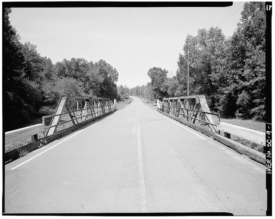

Every property in this county listed on the National Register of Historic Places, with the year it was listed and the federal nomination document.
| Photograph | Property | Type | Listed | Reference |
|---|---|---|---|---|
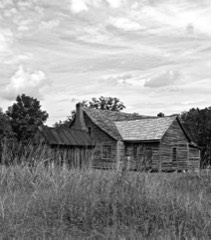 | Bonham House | building | 1974 | 74001875 |
 | Butler Family Cemetery | site | 1974 | 74001874 |
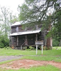 | Marsh-Johnson House | building | 1982 | 82003904 |
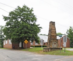 | Ridge Hill High School | building | 2010 | 10000341 |
 | Saluda Theatre | building | 1993 | 93001406 |
 | Spann Methodist Church and Cemetery | building | 2003 | 03001059 |
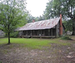 | Stevens-Dorn Farmstead | building | 1997 | 97000778 |
 | Strother Place, Old | district | 1994 | 94000063 |
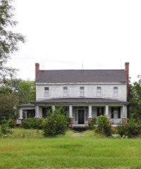 | Webb-Coleman House | building | 1992 | 92000365 |
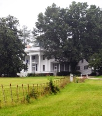 | Whitehall | building | 1980 | 80003697 |
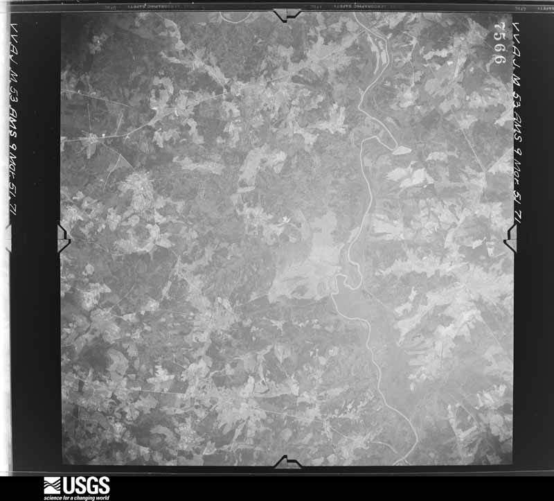
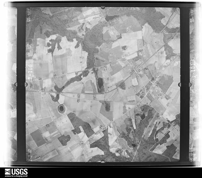
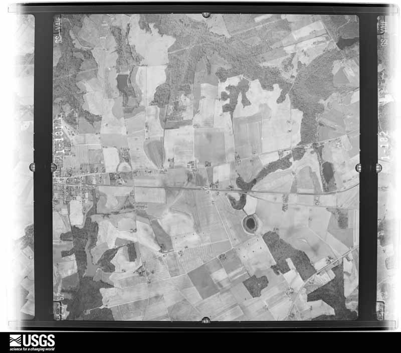
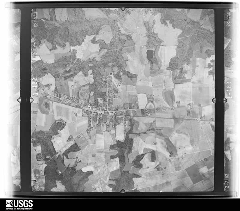
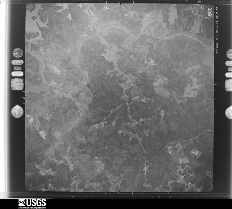
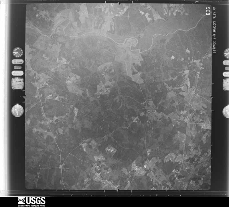
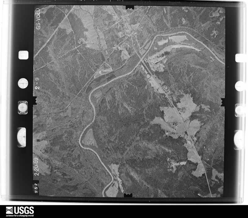
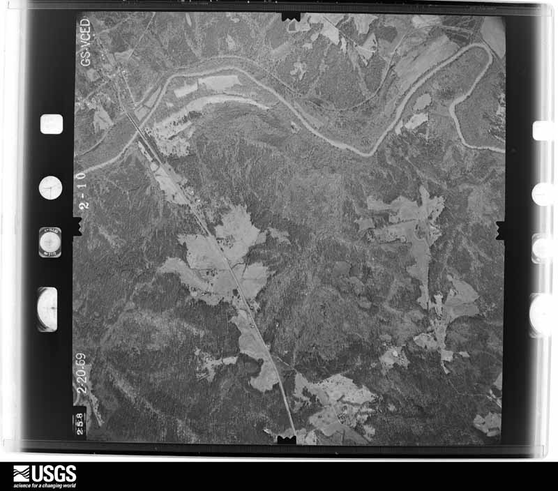
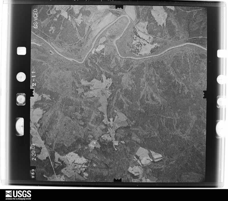
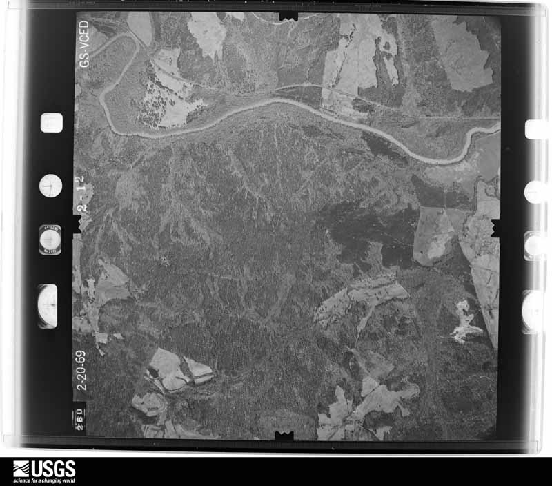
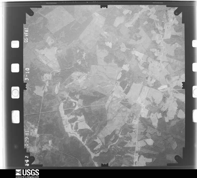
Flown by the U.S. Geological Survey between 1937 and 1989, the Aerial Photo Single Frames collection is the definitive mid-century view of the land: fields, roads and rivers as the camera saw them. The Survey holds 1,119 frames inside the rectangle that bounds this county; the 28 frames below were taken over the county itself, chosen across the decades of flights (at most four a year from that rectangle), so one flight cannot crowd out the rest. The full set is free to browse and download at EarthExplorer under the dataset Aerial Photo Single Frames.

















The thermometers that kept this county's weather, and the gages that measured the flow of its streams, as the federal records hold them. The extremes below are measured values from those records, not estimates.
Who lived here in 1950, one enumeration district at a time, as the Census Bureau described each district. Each row opens its official National Archives result, with Population Schedules and ED Maps available there.
Every wildfire the federal occurrence database records inside this county: 712 of them, burning about 2,737 acres. 34 started naturally and 52 were recorded as arson. Each settlement page carries the fires within five miles of it.
| Reported cause | Fires |
|---|---|
| Debris and open burning | 250 |
| Missing data/not specified/undetermined | 246 |
| Equipment and vehicle use | 90 |
| Arson/incendiarism | 52 |
| Natural | 34 |
| Misuse of fire by a minor | 12 |
| Smoking | 10 |
| Power generation/transmission/distribution | 8 |
| Recreation and ceremony | 5 |
| Other causes | 3 |
| Fireworks | 2 |
The five largest, by the area the report gives. None of them was recorded as arson.
| Date | Cause | Size | Reported by | Name on the report |
|---|---|---|---|---|
| 12 March 2006 | Debris and open burning | 310 acres | Francis Marion & Sumter National Forests | UGLY |
| 19 July 2002 | Equipment and vehicle use | 135 acres | South Carolina Forestry Commission | not named |
| 10 April 2004 | Debris and open burning | 58 acres | South Carolina Forestry Commission | not named |
| 29 October 2013 | Debris and open burning | 57 acres | South Carolina Forestry Commission | not named |
| 27 March 1992 | Missing data/not specified/undetermined | 55 acres | South Carolina Forestry Commission | not named |
| 24 May 2004 | Debris and open burning | 53 acres | South Carolina Forestry Commission | not named |
| 8 March 2013 | Power generation/transmission/distribution | 53 acres | South Carolina Forestry Commission | not named |
| 8 January 2018 | Debris and open burning | 50 acres | South Carolina Forestry Commission | not named |
Every settlement page carries the fires within five miles of it - see the settlement index below.
The NOAA Storm Events Database holds 316 reports for this county, causing 3 deaths, 22 injuries and about $8,167,530 in recorded property damage. Each settlement page carries the reports that name it.
| Kind of event | Reports |
|---|---|
| Thunderstorm Wind | 215 |
| Hail | 75 |
| Tornado | 17 |
| Flash Flood | 6 |
| Funnel Cloud | 3 |
The most serious of them, by death, then injury, then recorded damage. The accounts are quoted exactly as the forecast office filed them.
| When | Event | Place named | Harm | What the report says |
|---|---|---|---|---|
| March 1955 | Tornado (F2) | not stated | 2 killed, 10 hurt, $250,000 | no account filed |
| November 1992 | Tornado (F3) | not stated | 1 killed, 9 hurt, $2,500,000 | no account filed |
| April 1999 | Hail | Saluda | 2 hurt, $2,000,000 | A supercell storm moved se through Saluda county and produced hail to baseball size along its entire path. Damage was done to homes, buildings, farm equipment, vehicles, and crops. The damage path was about three miles wide. Two people were injured by the hail when they were caught outside in the middle of plowing their fields. |
| September 2004 | Tornado (F1) | Saluda | 1 hurt | Storm survey found numerous trees and powerlines down, light to moderate damage to several mobile homes, a 2 story barn destroyed, 2 trees on cars, and light to moderate roof damage to several framed homes. |
| November 1992 | Tornado (F2) | not stated | $2,500,000 | no account filed |
| July 2011 | Thunderstorm Wind | Ward | $210,000 | Saluda Standard-Sentinel reported a home at 624 Duncan Road severely damaged from an intense microburst and numerous trees down around the area over southern part of the county near Ridge Springs. |
| August 2025 | Thunderstorm Wind | Mayson | $200,000 | Saluda County emergency manager reported a couple chicken houses were destroyed and tin from the roof of a building near Simmons Rd was lifted. |
| July 2010 | Thunderstorm Wind | Travis | $60,000 | Public reported trees and large limbs down on Sumter School Road and other secondary roads in the area. Roofs were torn off several outbuildings and a flag pole was blown to the ground. |
| May 1998 | Tornado (F1) | Ward | $50,000 | An F1 tornado damaged several buildings and homes and picked up two cotton bin holders and threw them 100 yds. |
| February 1993 | Hail | Saluda | $50,000 | Golfball-size hail damaged an automobile and caused damage to some roofs. |
| April 2011 | Thunderstorm Wind | Saluda | $40,000 | Sheriff reported trees down on a home in Saluda. |
| September 2016 | Flash Flood | Mayson | $35,000 | Fruit Hill Road at Henley Road, Fruit Hill Road at Star Court, Larkin Rice Road between Gregory Lane and Old Chappells Ferry Road, and Hare Avenue at N. Bouknight Ferry Road all impassible and closed. Also, residents of 5 mobile homes were evacuated due to flooding at Mohawk Drive and S. Bouknight Ferry Road. A small amount of water entered 2 of the homes but no significant damage occurred. |
| April 2015 | Hail | Batesburg | $24,000 | Sheriff reported at least quarter size hail putting dents in vehicles. |
| March 2012 | Thunderstorm Wind | Mayson | $20,000 | Dispatch reported trees and powerlines down countywide. |
| April 2011 | Thunderstorm Wind | Batesburg | $16,000 | Police reported numerous trees and powerlines down in Batesburg. |
| August 2015 | Thunderstorm Wind | Perrys Xrds | $12,000 | Sheriff reported trees and powerlines down with outages north and northeast of Saluda to the Newberry county line. |
| July 2012 | Thunderstorm Wind | Merchant | $12,000 | WIS TV Meteorologist reported trees down outside of Saluda. One of the trees was a 3 foot diamater Oak Tree. An unfinished barn or garage was blown down on a car. Small hail was also observed. |
| July 2012 | Thunderstorm Wind | Batesburg | $12,000 | SKYWARN spotter measured a 52 kt wind gust that took down trees and powerlines in Batesburg. |
| June 2011 | Thunderstorm Wind | Saluda | $10,000 | EM reported multiple trees down county wide. |
| March 2010 | Thunderstorm Wind | Ridge Spg | $10,000 | EM reported a few trees down in the Ridge Springs area and shingles and facia torn of St. Williams Catholic Church. |
| May 2006 | Thunderstorm Wind | Saluda | $10,000 | Public reported roof pealed off of barn off US 378 near the Edgefield county line. |
| October 2011 | Thunderstorm Wind | Ridge Spg | $7,000 | Sheriff reported trees down in the Ridge Spring area. |
| August 2015 | Thunderstorm Wind | Colemans Xrds | $6,000 | SCE&G reported over 600 power outages due to thunderstorms winds taking down power lines. |
| January 2013 | Thunderstorm Wind | Saluda | $6,000 | Sheriff reported several trees down in the Ridge Springs area and along Hwy 121. |
| July 2012 | Thunderstorm Wind | Mt Willing | $6,000 | DOT reported trees down on Batesburg Hwy, SC41, and Hwy 376. |
| August 2012 | Thunderstorm Wind | Saluda | $6,000 | Sheriff reported trees down on Mariachi Drive, Old Chappells Ferry Road, and on Henley Road. |
| November 2002 | Thunderstorm Wind | Saluda | $6,000 | SKYWARN spotter reported trees down, one on a home that went through the roof near SC hwys 391 and 378. |
| July 2012 | Hail | Saluda Co Arpt | $5,000 | Public reported quarter size hail. |
| July 2012 | Hail | Mayson | $5,000 | The public reported quarter size hail northwest of Saluday near Hwy 702. |
| July 2012 | Thunderstorm Wind | Dennis Xrds | $5,000 | Sheriff reported trees down at Hickory Grove Road and Hollywood Road. |
| October 2011 | Thunderstorm Wind | Saluda Co Arpt | $5,000 | Sheriff reported trees down on Rocky Creek Road. |
| April 2007 | Thunderstorm Wind | Saluda | $5,000 | Sheriff reported trees down and roof blown off chicken house on hwy 178. |
| June 2014 | Thunderstorm Wind | Saluda Co Arpt | $4,000 | Highway Patrol reported trees down near the intersection of Hwy 121 and Daniel Ave. |
| July 2014 | Thunderstorm Wind | Colemans Xrds | $4,000 | Dispatch reported a couple of trees down on Hollywood Road off of U.S. 521. |
| June 2013 | Thunderstorm Wind | Dennis Xrds | $4,000 | Sheriff reported trees down at Hickory Grove Road and Andrew Coleman Road in the Hickory Grove subdivision. |
| July 2012 | Thunderstorm Wind | Perrys Xrds | $4,000 | Sheriff dispatch reported trees down on powerlines along Old CHerokee Trail. |
| October 2011 | Thunderstorm Wind | Merchant | $4,000 | Highway Patrol reported trees down near Lake Murray on Mt. Willing Road. |
| February 2011 | Thunderstorm Wind | Saluda | $4,000 | Sheriff reported trees down on the southeast of Saluda. |
| March 2011 | Thunderstorm Wind | Bleases Xrds | $4,000 | Sheriff reported trees down from the northwest portions of the county to Saluday. |
| March 2011 | Hail | Saluda | $4,000 | Public reported nickel to quarter size hail covering the ground. |
| June 2010 | Thunderstorm Wind | Ward | $4,000 | Public reported a few trees down along Thunder Road just north of Ward. |
| June 2015 | Thunderstorm Wind | Mt Willing | $3,000 | Highway Patrol reported trees down on U.S. 178 near Sardis Road. |
| June 2015 | Thunderstorm Wind | Batesburg | $3,000 | Dispatch reported trees down on West Creek Road. |
| January 2013 | Thunderstorm Wind | Saluda | $3,000 | EMD reported several trees down along Hwy 121 in the Oldtown area. |
| July 2011 | Thunderstorm Wind | Batesburg | $3,000 | Highway Patrol reported trees down at Old Golf Course road and hwy 178. |
| July 2011 | Thunderstorm Wind | Mayson | $3,000 | Sheriff dispatch reported trees down at Greenwood Hwy and Larkin Rice road. |
| February 2011 | Thunderstorm Wind | Saluda | $3,000 | Sheriff reported trees down northwest of Saluda. |
| November 2010 | Thunderstorm Wind | Big Creek | $3,000 | Sheriff reported trees down on Old Chapel road. |
| August 2015 | Thunderstorm Wind | Ward | $2,000 | Highway Patrol reported trees down on Daniel Ave. about 1 mile outside of Ward. |
| May 2015 | Thunderstorm Wind | Colemans Xrds | $2,000 | Dispatch reported multiple trees and powerlines down on Shiloh Road near Yarborough Road. |
| June 2015 | Flash Flood | Mayson | $2,000 | Dispatch reported flash flooding on Fruithill Road near Hwy 178 and along other rural roads in that area. |
| June 2015 | Thunderstorm Wind | Mt Willing | $2,000 | Dispatch reported trees down on Spann Road. |
| September 2014 | Thunderstorm Wind | Dennis Xrds | $2,000 | Saluda dispatch reported powerlines down on Denny Hwy at Bethany Schoolhouse Road. |
| September 2014 | Thunderstorm Wind | Travis | $2,000 | Saluda dispatch reported trees down on Rock Hill Road. |
| May 2014 | Thunderstorm Wind | Bleases Xrds | $2,000 | Highway Patrol reported trees down across Hwy 178. |
| January 2010 | Thunderstorm Wind | Batesburg | $2,000 | Sheriff reported trees down along Hwy 178 and Amick Farms road. |
| November 2010 | Thunderstorm Wind | Big Creek | $2,000 | Sheriff reported powerlines down. |
| November 2010 | Thunderstorm Wind | Ridge Spg | $2,000 | Sheriff reported a couple of trees down on Hwy 121 north of town. |
| July 2010 | Thunderstorm Wind | Ward | $2,000 | Sheriff reported a couple of trees down on Duncan Road and Hwy 23. |
| February 2003 | Thunderstorm Wind | Saluda | $2,000 | Spotter reported a shed destroyed. |
The Survey's mineral resources record lists 21 workings inside this county. 2 still produce and 19 are closed or unrecorded. Each settlement page carries the workings within five miles of it.
| Commodity | Workings |
|---|---|
| Clay | 14 |
| Gold | 5 |
| Nickel, Copper | 1 |
| Granite, Stone, Dimension | 1 |
| Mica | 1 |
The least common of them first, because a county's hundredth gravel pit says nothing its first ten did not.
| Where | Site | Commodity | Status | Recorded |
|---|---|---|---|---|
| Cromley Mine | Mica | Past Producer | Pegmatite (?) | |
| Culbreath Mine | Gold, Nickel, Copper | Unknown | 1908 | |
| Whittle Quarry | Granite, Stone, Dimension | Unknown | Igneous | |
| Culbreath Mine | Gold | Past Producer | ||
| Mountain Creek Prospect | Gold | Occurrence | ||
| Yarborough Mine | Gold | Past Producer | 1908 | |
| Yarborough Mine | Gold | Past Producer | ||
| Abney Clay Pit | Clay | Past Producer | Sedimentary Clay | |
| Bauknight Shale Pit | Clay | Producer | Metamorphic | |
| Hopkins Shale Pit | Clay | Unknown | Metamorphic | |
| Padgette Shale Pit | Clay | Past Producer | Metamorphic | |
| Saluda County Mine | Clay | Unknown | Sedimentary | |
| Saluda County Mine | Clay | Unknown | Sedimentary | |
| Saluda County Mine | Clay | Unknown | Sedimentary | |
| Saluda County Mine | Clay | Unknown | Sedimentary | |
| Saluda County Mine | Clay | Past Producer | ||
| Saluda County Mine | Clay | Past Producer | ||
| Saluda County Mines | Clay | Past Producer | ||
| Saluda Mine | Clay | Producer | ||
| Saluda River Mine | Clay | Unknown | Sedimentary | |
| Saluda River Mine | Clay | Past Producer |
Named settlements recorded in the Geographic Names Information System, each with the topographic sheets covering it. Villages, hamlets and abandoned places alike. Each is shown with the nearest named watercourse or landform and the survey quadrangle it falls on. The 1 place that was also surveyed for fire insurance comes first, with the number of atlases and photographs held for them.
Saluda census division · 29138 · On Mine Creek · Saluda North quadrangle
12 sheets, 1941 to 1986
Fire insurance: 2 atlases
North Saluda census division · 29138 · On Shiloh Branch · Saluda North quadrangle
12 sheets, 1941 to 1986
Ridge Spring census division · 29166 · On Indian Creek · Emory quadrangle
11 sheets, 1954 to 1983
Saluda census division · 29138 · On Shiloh Branch · Saluda North quadrangle
12 sheets, 1941 to 1986
Saluda census division · 29138 · On Flat Rock Branch · Good Hope quadrangle
12 sheets, 1941 to 1986
No longer a settlement
North Saluda census division · 29138 · Saluda North quadrangle
12 sheets, 1941 to 1986
North Saluda census division · 29138 · On Watermelon Branch · Saluda North quadrangle
12 sheets, 1941 to 1986
North Saluda census division · 29127 · On Indian Creek · Delmar quadrangle
12 sheets, 1941 to 1986
No longer a settlement
Saluda census division · 29138 · On Persimmon Creek · Denny quadrangle
12 sheets, 1941 to 1986
North Saluda census division · 29138 · Chappells quadrangle
12 sheets, 1941 to 1986
No longer a settlement
North Saluda census division · 29138 · On Persimmon Creek · Denny quadrangle
12 sheets, 1941 to 1986
Batesburg-Leesville census division · 29006 · On Bates Branch · Batesburg quadrangle
11 sheets, 1954 to 1983
Batesburg-Leesville census division · 29070 · Lake Murray West quadrangle
14 sheets, 1904 to 1986
Batesburg-Leesville census division · 29138 · On Richland Creek · Denny quadrangle
12 sheets, 1941 to 1986
No longer a settlement
Batesburg-Leesville census division · 29138 · On Corley Branch · Denny quadrangle
12 sheets, 1941 to 1986
Saluda census division · 29138 · Emory quadrangle
11 sheets, 1954 to 1983
No longer a settlement
The vanished settlements of Saluda County: the places named above that are no longer on the map.
12 topographic sheets and 2 fire insurance atlases, 1933
The complete index, with nothing left out. Each of these is a separate record with its own page: a federal survey report, or the case file that argued a property on to the National Register. Both are public domain and reproduced word for word.
The vanished settlements of Saluda County, the places these records name that are no longer on the map.