 Block
Anderson, South Carolina
17 topographic sheets cover this place, the earliest surveyed in 1888 and the latest in 1991. It stands in the Anderson census division. It lies in ZIP code area 29624. It stands on Dye Creek. The Survey maps it on the Anderson North quadrangle. 28,106 people lived here at the 2020 count. It stands 791 feet above sea level.
Research this city
On record in Anderson
Buildings and businesses the archive holds for this place. Each opens its own page, with the source record it came from.
On the National Register 12 records
 Anderson College Historic Districtlisted 1998
 Anderson Downtown Historic Districtlisted 1979
 Anderson Downtown Historic District (Boundary Increase)listed 1987
 Anderson Historic Districtlisted 1971
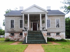 Caldwell-Johnson-Morris Cottagelisted 1971
 Denver Downs Farmsteadlisted 2007
 Kennedy Street Schoollisted 2007
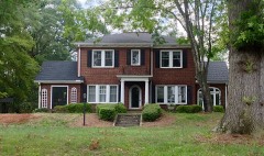 North Anderson Historic Districtlisted 2008
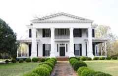 Dr. Samuel Marshall Orr Houselisted 1973
 Ralph John Ramer Houselisted 1992
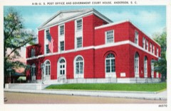 United States Post Office and Court Houselisted 2017
- Robert J. and Lula Ginn Houselisted 2019
Surveyed buildings and structures 10 records
- 123 West Church Street (Commercial Building), Andersonfederal building survey, 4 photographs
- H. G. Johnson & Sons, 117 West Church Street, Andersonfederal building survey, 2 photographs
- Jeff Maxwell House, 1109 West Whitner Street & Maxwell Avenue, Andersonfederal building survey, 3 photographs
- Morris House, 220 East Morris Street at South Manning Street, Andersonfederal building survey, 1 photograph
- Nick Prevost House, 105 North Prevost Street, Andersonfederal building survey, 4 photographs
- Orange Grove, 1092 North Main Street, Andersonfederal building survey, 9 photographs
- Poppe House, 805 South McDuffie Street, Andersonfederal building survey, 2 photographs
- Sullivan House, East Franklin Street, Andersonfederal building survey, 3 photographs
- Varennes Tavern, Andersonfederal building survey, 12 photographs
- Victor Theater, 119 West Church Street, Andersonfederal building survey, 5 photographs
Population over time
2 figuresAnderson grew from 26,686 to 28,106 between 2010 and 2020. These are the recorded population figures Wikidata holds for this place, reached through the Geographic Names Information System number this page is keyed on rather than by name, so they belong to this place and not to another of the same name. Most are census counts, but not all are: an early figure may be a founding or settlement estimate, and an estimate published within five years of a census is left out. The change column is computed, and is left blank where more than 20 years separate a figure from the one before it, because a gap that long is not a change between two counts.
| Year | People | Change |
|---|---|---|
| 2010 | 26,686 | |
| 2020 | 28,106 | +1,420 (+5%) |
Topographic sheets covering this place
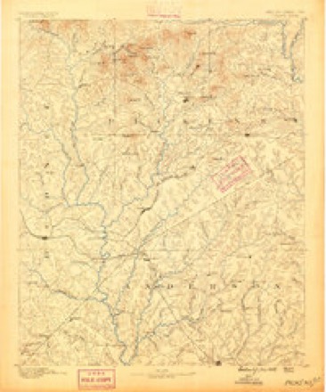
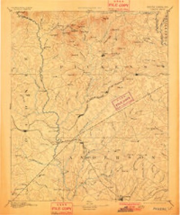
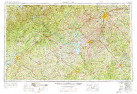
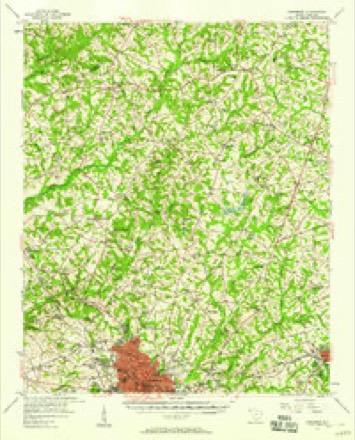
8 surveys from 17 printed sheetsMatched by testing this settlement's coordinate against the published boundary of every sheet in the United States Geological Survey's historical collection. Each opens the scanned sheet at the Survey.
- 1888 USGS Pickens quadrangle1:125000
- 1894 USGS Pickens quadrangle1:125000, 6 printings
- 1954 USGS Greenville quadrangle1:250000, 3 printings
- 1957 USGS Anderson quadrangle1:62500, 2 printings
- 1958 USGS Greenville quadrangle1:250000
- 1983 USGS Anderson North quadrangle1:24000, 2 printings
- 1984 USGS Greenville quadrangle1:100000
- 1991 USGS Greenville quadrangle1:100000
Photographs
8 of 22 photographs shown, 1936Taken for the Office of War Information and the Farm Security Administration, who photographed the country between 1935 and 1944. Works of United States government photographers, with no known restriction on use. Each opens its catalogue record.
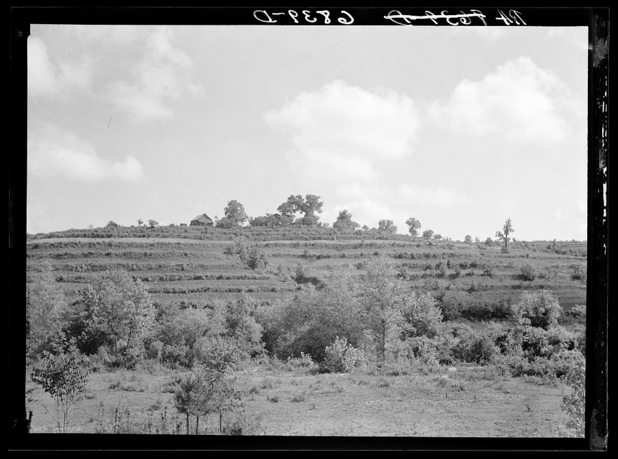
Mydans, Carl, photographer, 1936. Library of Congress
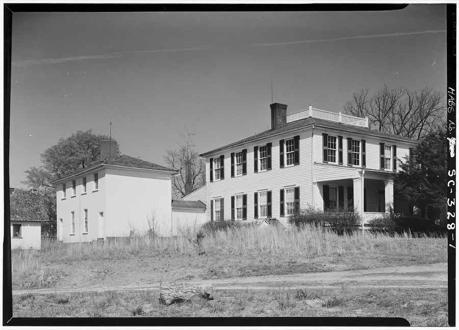
Photographer not recorded. Library of Congress
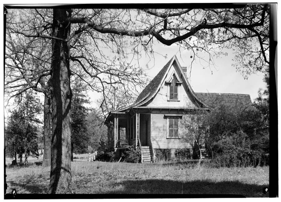
Photographer not recorded. Library of Congress
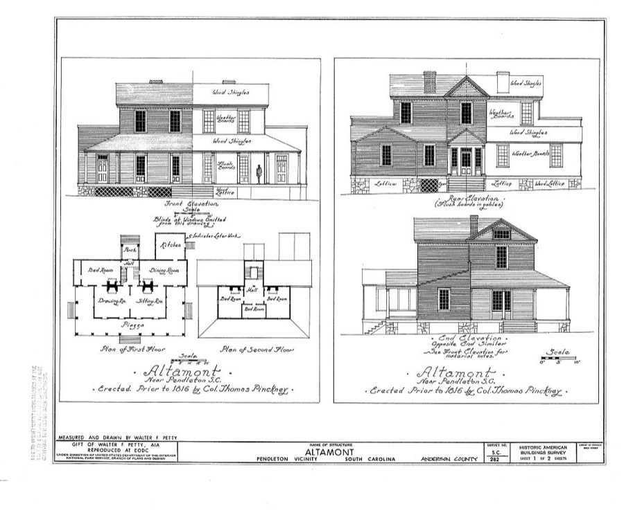
Photographer not recorded. Library of Congress
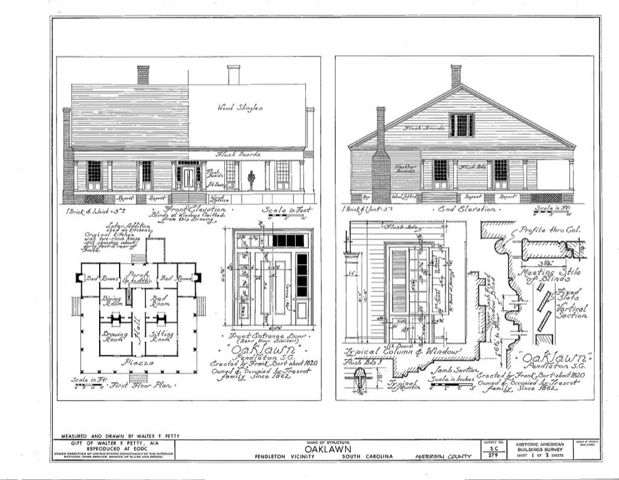
Photographer not recorded. Library of Congress
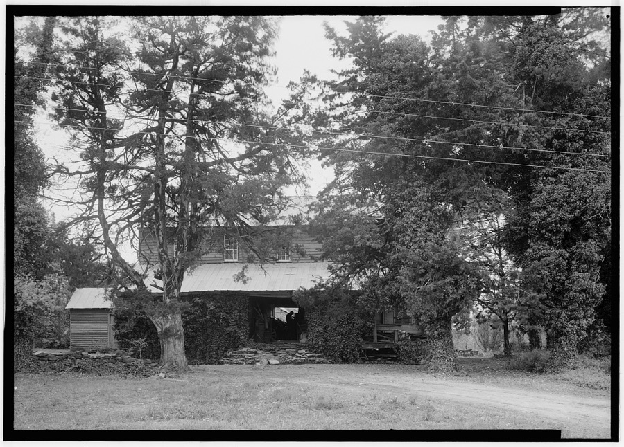
Photographer not recorded. Library of Congress
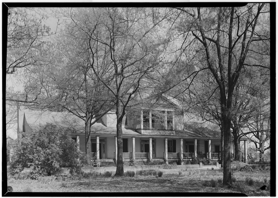
Photographer not recorded. Library of Congress
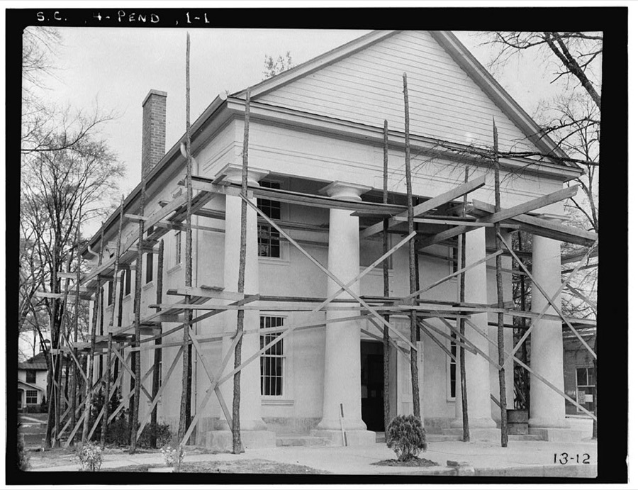
Photographer not recorded. Library of Congress
Every photograph of Anderson County
Fires near this place
93 since 1992Regional context, not property-specific evidence. The federal wildfire occurrence database lists 93 fires within 5 miles of Anderson between 1992 and 2020, burning about 278 acres in total. 2 started naturally. 14 were recorded as arson. Distance is straight-line from the map coordinates, so a fire counted here may appear on a neighbouring settlement's page as well.
| Reported cause | Fires |
|---|---|
| Missing data/not specified/undetermined | 32 |
| Debris and open burning | 21 |
| Arson/incendiarism | 14 |
| Misuse of fire by a minor | 8 |
| Smoking | 5 |
| Recreation and ceremony | 5 |
| Equipment and vehicle use | 4 |
| Natural | 2 |
| Fireworks | 1 |
| Other causes | 1 |
The most recent of them, most recent first, with the day each was reported and the service that recorded it.
| Date | Cause | Size | Reported by | Name on the report |
|---|---|---|---|---|
| 4 September 2007 | Missing data/not specified/undetermined | under an acre | South Carolina Forestry Commission | not named |
| 3 September 2010 | Smoking | 6.1 acres | South Carolina Forestry Commission | not named |
| 23 September 2015 | Debris and open burning | under an acre | South Carolina Forestry Commission | not named |
| 22 August 2008 | Debris and open burning | 2.0 acres | South Carolina Forestry Commission | not named |
| 14 August 1999 | Misuse of fire by a minor | 1.0 acres | South Carolina Forestry Commission | not named |
| 12 August 2008 | Debris and open burning | 2.0 acres | South Carolina Forestry Commission | not named |
| 1 August 1999 | Debris and open burning | 1.0 acres | South Carolina Forestry Commission | not named |
| 1 August 1999 | Misuse of fire by a minor | under an acre | South Carolina Forestry Commission | not named |
Settlements close enough to share some of these fires:
Mines and quarries near this place
7 within 5 milesRegional context, not property-specific evidence. The federal mineral resources record lists 7 workings within 5 miles of Anderson: 3 producers, 3 prospects, 1 unknown. 3 still produce. What was taken out: Stone, Crushed/Broken, Mica, Titanium, Iron, Gemstone. Distance is straight-line from the map coordinates, so a quarry counted here may appear on a neighbouring settlement's page as well.
| Where | Site | Commodity | Status | Recorded |
|---|---|---|---|---|
| Beaver Creek | Titanium, Iron | Unknown | Vein Outcrop Exposure | |
| Mcconnell Prospect | Mica, Gemstone | Prospect | ||
| Anderson Quarry | Stone, Crushed/Broken | Producer | ||
| Broadway Mine | Stone, Crushed/Broken | Producer | ||
| Cliff Webb Prospect | Mica | Prospect | ||
| J A Jones Prospect | Mica | Prospect | ||
| Tribble Quarry | Stone, Crushed/Broken | Producer | Metamorphic |
Storms near this place
60 of 169 shownRegional context, not property-specific evidence. The National Weather Service names Anderson in 169 storm reports between 1993 and 2025: 80 thunderstorm wind, 56 hail, 17 flash flood, 6 lightning. The reports record 3 injuries. Each account below is quoted exactly as the forecast office filed it, from the NOAA Storm Events Database, and each date opens the federal record of that event.
| When | Event | Place named | Harm | What the report says |
|---|---|---|---|---|
| March 2010 | Lightning | Anderson | 2 hurt, $5,000 | Lightning struck a power line on Fawn Hill Rd, which resulted in minor injuries to two people in two different homes. Small fires ignited in both homes, causing some minor damage. |
| August 2002 | Lightning | Anderson | 1 hurt | A 16-year-old male received minor injuries when lightning struck a nearby tree. |
| July 2001 | Thunderstorm Wind | Anderson | $1,500,000 | A trained spotter measured a wind gust to 58 mph. Lightning struck a church in the Cheddar community, between Williamston and Belton. The resulting fire destroyed the main building. |
| June 2001 | Thunderstorm Wind | Anderson | $500,000 | Severe thunderstorm winds caused damage to some buildings at the county fairgrounds, resulting in postponement of a bingo tournament. Roofs were blown off three buildings. |
| April 1998 | Flash Flood | Anderson | $480,000 | no account filed |
| July 2005 | Tornado (F1) | Anderson | $150,000 | This tornado began over the northern part of Lake Hartwell, possibly over the lake, as the initial damage was to docks and around a dozen sailboats on the northeast shore of the lake. One boat was tossed about 100 yards. Several trees were also blown down onshore. Newspaper reported damage to the docks alone was 60k. |
| June 2004 | Flash Flood | Anderson | $100,000 | Very heavy rainfall resulted in development of severe urban flooding across the northern part of the city. Numerous roads and streets were covered with water. West of town, a portion of Quail Ridge Rd was washed out severely. |
| November 2002 | Thunderstorm Wind | Anderson | $100,000 | Numerous trees were blown down, along with light structural damage to houses. An unoccupied, unanchored mobile home was destroyed by the wind. Another mobile home was shifted off of its foundation. Also, some trees fell on homes and vehicles. |
| September 2014 | Flash Flood | Anderson | $50,000 | County comms reported Whitner Creek overflowed its banks on the west side of downtown Anderson after more than three inches of rain fell in only a couple of hours. Multiple homes were flooded along Cunningham Dr, with additional property damage reported nearby along Mimosa Park. |
| September 2004 | Flash Flood | Anderson | $50,000 | no account filed |
| June 2005 | Thunderstorm Wind | Anderson | $40,000 | Numerous trees down along highway 88 between Pendleton and Pelzer. In addition, 8 large oak trees down in the Stonewall Woods subdivision. One tree fell on a pickup truck. Another tree fell on a home, causing extensive damage to the roof. |
| July 2005 | Thunderstorm Wind | Anderson | $40,000 | Straight line winds, estimated at 70 mph, blew down numerous trees, some on roads, houses, and vehicles in southern Anderson county. Most of the damage was concentrated in areas in and around the communities of Ebenezer and Craytonville, especially along Jones Chapel Rd between highway 185 and 20. |
| May 1996 | Flash Flood | Anderson | $25,000 | no account filed |
| December 2009 | Flash Flood | West Anderson | $20,000 | Flash flooding developed in and around the city of Anderson, with several roads closed due to high water. Although most of the flooding was of the urban/poor drainage variety, at least two creeks were involved, including Whitner and Cox Creeks. Affected roads included Southwood St (due to Whitner Creek) and Rantowles Rd (due to Cox Creek), where water entered some homes. At least a half dozen additional streets were closed in the city due to urban flooding. These included Susan St and Booker St, which were covered by as much as 3 feet of water. |
| June 2007 | Thunderstorm Wind | Anderson | $20,000 | NWS storm survey found an area of microburst damage centered around the Harbin Dr and highway 187 intersection in western Anderson County. Two empty grain bins were blown about 200 yards, several outbuildings were destroyed, and some homes received minor roof damage. There were also several large uprooted trees. Also, a 60 mph gust was measured at the Anderson County Airport. A tree fell on a home on Edwards Dr. |
| June 2007 | Thunderstorm Wind | Anderson | $16,000 | Multiple trees down across the city. Two large oak trees fell on homes on Broad St. The roof of a bank drive-through was also heavily damaged by wind. |
| May 2009 | Thunderstorm Wind | Anderson | $15,000 | Multiple trees and power lines were blown down across the city of Anderson. At least one tree fell on a home on the west side of the city. Also, the metal roof was blown off a car wash, causing the brick structure to collapse. |
| August 2011 | Lightning | Anderson | $10,000 | Lightning struck an apartment building, starting a fire that caused some minor damage. |
| March 2003 | Thunderstorm Wind | Anderson | $5,000 | Winds estimated at 80 mph blew tractor trailer trucks off of I-85 near the Oconee County border. |
| June 2002 | Thunderstorm Wind | Anderson | $5,000 | Trees and powerlines were blown down in the Stonehaven Community. A fallen tree crushed a carport. Trees and powerlines were also blown down along Lake Hartwell. |
| April 2005 | Tornado (F0) | Anderson | $3,000 | This weak tornado touched down near highway 185, just east of the 413 intersection, where some pine trees were snapped. The tornado produced intermittent damage over the next 3 miles. Large tree limbs were blown down just east of Wright Elementary. The tornado continued east/northeast, causing roof damage to a church near Saylors Crossing. A pine tree was uprooted near this location as well. The tornado blew down some large limbs before lifting near the intersection of SSR 119 and highway 20. Public works also reported ping-pong ball sized hail in the southern part of the county at this time (exact location unspecified). |
| June 2004 | Tornado (F0) | Anderson | $2,000 | This weak tornado caused minor damage to a couple of sheds and a barn. Several pine trees were blown down or shreaded. |
| July 2003 | Thunderstorm Wind | Anderson | $2,000 | An outbuilding was blown over. |
| June 2004 | Heavy Rain | Anderson | $1,000 | Heavy rainfall washed out a culvert on Wigfall Dr just east of Scotts Bridge Rd. |
| August 2003 | Thunderstorm Wind | Anderson | $1,000 | A tree and some power lines were blown down on East Orr St. |
| March 2002 | Thunderstorm Wind | Anderson | $1,000 | Power lines and a tree were blown down at Good Hope Church Rd. and Sam McGee Rd. |
| April 2002 | Thunderstorm Wind | Anderson | $1,000 | Power lines were reported down. |
| May 2025 | Hail | Anderson | - | Spotter reported nickel size hail. |
| March 2023 | Thunderstorm Wind | Anderson | - | Ham radio operator reported a tree and power line blown down on a house in Anderson. County comms reported multiple trees blown down in the Belton area. |
| July 2017 | Thunderstorm Wind | Anderson | - | Broadcast media reported a tree blown down on power lines on South McDuffie St. Media reported trees and power lines blown down along East Shockley Ferry Rd. |
| September 2016 | Hail | Anderson | - | Spotter reported 3/4 inch hail. |
| September 2014 | Thunderstorm Wind | Anderson | - | County comms reported multiple trees blown down on East Morris St. |
| February 2014 | Thunderstorm Wind | Anderson | - | A flag pole snapped on West Whitner St (2 W Anderson), and a tree was blown down across Highway 81 south of Starr. |
| July 2013 | Thunderstorm Wind | Anderson | - | A scattering of trees was blown down from about four miles southeast of Anderson up to Interstate 85. |
| July 2013 | Thunderstorm Wind | Anderson | - | About a half dozen trees were blown down from the north side of Anderson west to Lake Hartwell. |
| May 2013 | Thunderstorm Wind | Anderson | - | A tree was blown down on the west side of Anderson. |
| June 2012 | Thunderstorm Wind | Anderson | - | About half a dozen trees werer blown down between Anderson and the Abbeville County line along highway 28. |
| August 2012 | Thunderstorm Wind | Anderson | - | A tree was blown down on Bolt Dr, about 3.5 miles east southeast of downtown Anderson. |
| August 2012 | Thunderstorm Wind | Anderson | - | Large limbs were blown down 2 miles west of Anderson. Also, a tree was blown down on Pearman Dairy Rd, 3.5 miles northwest of town. |
| June 2011 | Thunderstorm Wind | West Anderson | - | Numerous trees and large tree limbs were blown down in the Anderson area. One tree fell on an apartment building on Miracle Mile Dr about 3 miles north of town. A couple of trees were also blown down on Pelzer Ave in Williamston. The ASOS at Anderson Regional Airport measured a gust of 56 mph at 6:46 EDT. |
| June 2011 | Hail | Anderson | - | Quarter size hail was reported on the south side of the city. |
| July 2011 | Thunderstorm Wind | Anderson | - | Trees and power lines were blown down at Whitner St and I St in the city, and in the Homeland Park area. |
| June 2011 | Thunderstorm Wind | Anderson | - | Numerous trees were blown down in and around the city of Anderson. |
| April 2009 | Thunderstorm Wind | Anderson | - | Numerous trees were blown down around the city of Anderson. |
| July 2008 | Thunderstorm Wind | Anderson | - | Several trees were blown down and the roof was blown off a barn. |
| July 2008 | Thunderstorm Wind | Anderson | - | Some outbuildings were damaged or destroyed along highway 187. Also, a barn was lifted and tossed about 500 feet. Several trees were blown down, including one which fell on a car, briefly trapping the occupant. |
| July 2008 | Thunderstorm Wind | Anderson | - | Several large trees were blown down on River St and West Whitner St in Anderson. |
| February 2008 | Thunderstorm Wind | Anderson | - | A tree was blown down near the intersection of Concord Rd and Edgebrook Rd, and another on Centerville Rd. |
| June 2007 | Thunderstorm Wind | Anderson | - | Tree limbs and power lines blown down on North St. |
| July 2007 | Thunderstorm Wind | Anderson | - | Quite a few trees down in and around Anderson. |
| July 2007 | Thunderstorm Wind | Anderson | - | County comms reported 2 small aircraft were flipped over at the Anderson County airport. Also, a couple of trees were blown down around the city. |
| August 2007 | Thunderstorm Wind | Anderson | - | Several trees blown down and damage to a tin roof. |
| July 2007 | Thunderstorm Wind | Anderson | - | Several trees and large limbs blown down, and some gutters torn off a house. |
| May 2006 | Thunderstorm Wind | Anderson | - | Trees down near the intersection of Interstate 85 and highway 81. |
| June 2006 | Thunderstorm Wind | Anderson | - | Numerous trees blown down around the city and out in the county. |
| May 2006 | Hail | Anderson | - | Numerous reports of hail ranging from dime to golfball size from areas in and around the city of Anderson. |
| July 2006 | Thunderstorm Wind | Anderson | - | A few pine trees down and part of a tin roof torn off a barn about halfway between Belton and Anderson. |
| July 2006 | Thunderstorm Wind | Anderson | - | A tree was blown down on power lines near downtown and another tree was downed on West Franklin St. |
| June 2006 | Hail | Anderson | - | Dime size hail near the intersection of highway 81 and Masters Blvd. |
| August 2006 | Thunderstorm Wind | Anderson | - | Two trees down and a strip of siding torn off a house on Fagg Rd. |
Newspapers printed here
58,908 digitised pages3 papers published in this town, digitised by the Library of Congress and free to read: 7,747 issues, 58,908 pages. Every page is searchable, so a name or a street can be looked for directly in what the town printed about itself at the time.
| Newspaper | Published |
|---|---|
| The Anderson Intelligencer | 1914 to 1917 |
| The Anderson Daily Intelligencer | 1914 to 1915 |
| The Intelligencer | 1915 to 1917 |
What the paper printed
52,015 wordsFront pages of the local paper, read from the Library of Congress scans: 13 issues spread across its run from 1914 to 1915, 52,015 words in total. Each is reproduced on its own page, exactly as the recogniser returned it.
These pages read less well than anything else here, and the number is worth stating: about three words in four come through cleanly, against nine in ten for the building records. An 1896 broadsheet sets eight-point type in seven columns on microfilm, which is the hardest thing in this archive to read by machine. We tested our own recognisers against the Library's and they were not better, so the Library's text is what appears, with the wholly unreadable columns removed. Read it as a guide to what the paper covered, and follow the link to the scan before quoting anything.
| Issue | Paper | Length |
|---|---|---|
| 1915-06-17 | The Intelligencer | 3,780 words |
| 1915-08-06 | The Intelligencer | 3,089 words |
| 1915-09-23 | The Intelligencer | 3,486 words |
| 1915-11-11 | The Intelligencer | 1,203 words |
| 1914-05-15 | The Anderson Intelligencer | 4,935 words |
| 1914-07-14 | The Anderson Intelligencer | 3,855 words |
| 1914-09-11 | The Anderson Intelligencer | 4,461 words |
| 1914-11-06 | The Anderson Intelligencer | 4,395 words |
| 1914-03-22 | The Anderson Daily Intelligencer | 5,455 words |
| 1914-06-02 | The Anderson Daily Intelligencer | 5,384 words |
| 1914-08-12 | The Anderson Daily Intelligencer | 4,361 words |
| 1914-10-22 | The Anderson Daily Intelligencer | 4,395 words |
| 1915-05-02 | The Anderson Daily Intelligencer | 3,216 words |
Nearest settlements
The eight closest, with where each one stands in the county. Distances are straight-line, computed from the Geographic Names Information System coordinates.
| Map | Place | Distance | Sheets |
|---|---|---|---|
| Caldwell Village | 0.4 miles | 14 | |
| Allen Hills | 1.1 miles | 17 | |
| Heritage Hills | 1.2 miles | 17 | |
| Toxaway | 1.2 miles | 14 | |
| Westview Heights | 1.2 miles | 14 | |
| Williamsburg Manor | 1.4 miles | 17 | |
| Melbourne Heights | 1.4 miles | 17 | |
| Colony Hill | 1.6 miles | 17 |
Elsewhere
Matched on this settlement's Geographic Names Information System number rather than its name, so it cannot be a different place of the same name in another state.
| Wikipedia article on Anderson | An encyclopaedic summary. Its text is share-alike, so it is linked here rather than copied. |
| Wikidata item Q1150893 | The structured record the population and elevation above come from. Public domain (CC0). |
Provenance
This settlement is recorded in the Geographic Names Information System as feature 1244878. The sheet list is computed by point-in-boundary test against the United States Geological Survey's historical topographic inventory. Both are works of the United States government and carry no copyright under 17 U.S.C. 105.
Wildfire. Short, Karen C. 2022. Spatial wildfire occurrence data for the United States, 1992-2020 [FPA_FOD_20221014]. 6th Edition. Fort Collins, CO: Forest Service Research Data Archive. https://doi.org/10.2737/RDS-2013-0009.6 Collected with United States Government funding and usable without additional permissions or fees.
Mines and quarries. USGS Mineral Resources Data System (MRDS) https://mrdata.usgs.gov/mrds/ A work of the United States government, no copyright under 17 U.S.C. 105.
Storms. NOAA National Centers for Environmental Information, Storm Events Database https://www.ncei.noaa.gov/stormevents/ A work of the United States government, no copyright under 17 U.S.C. 105. Narratives are quoted verbatim from the National Weather Service report and are not edited or summarised.